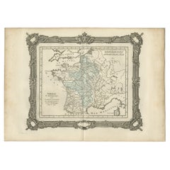
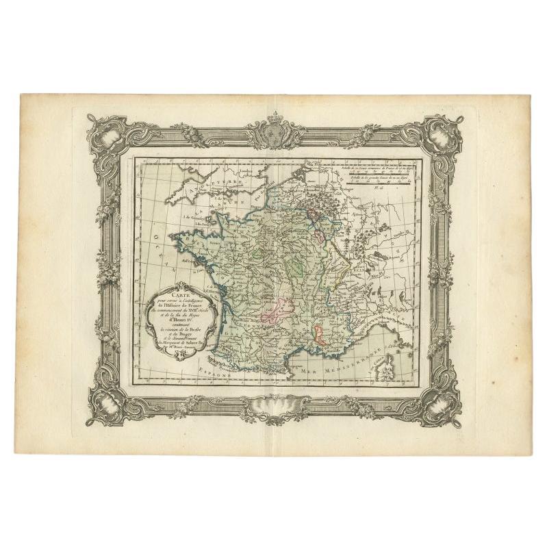
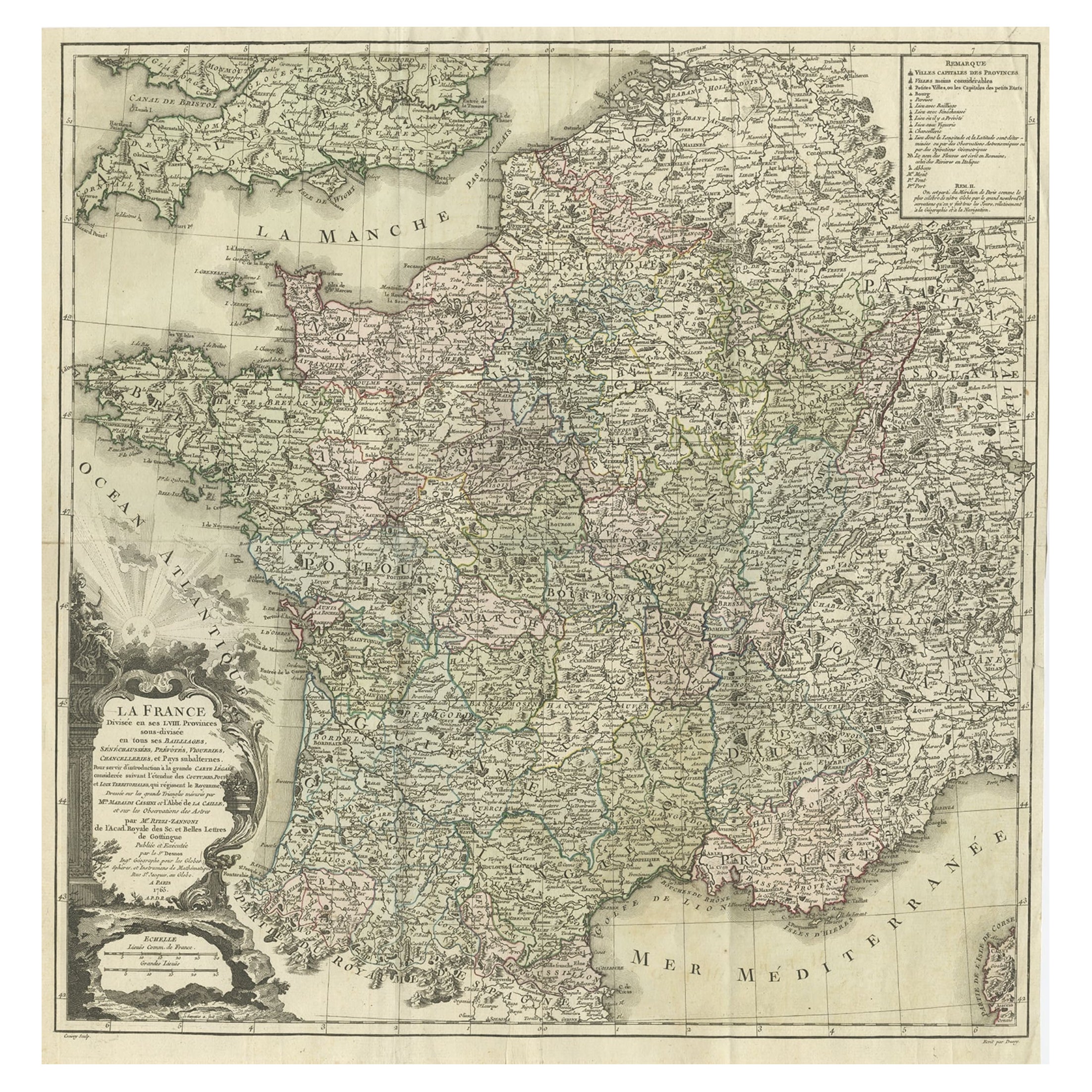
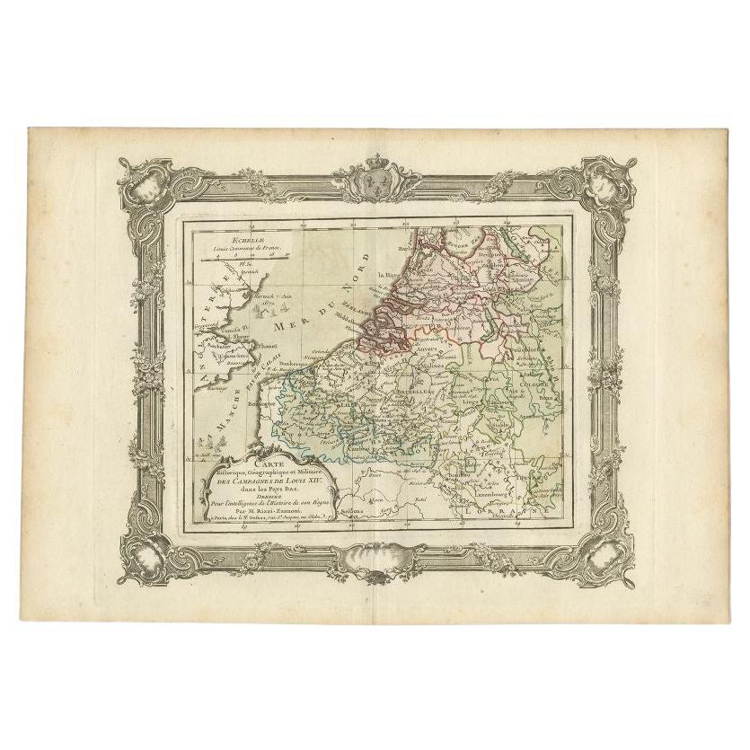
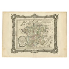
Antique Map of France After the Death of Charlemagne, 1765
View Similar Items
Want more images or videos?
Request additional images or videos from the seller
1 of 5
Antique Map of France After the Death of Charlemagne, 1765
About the Item
- Creator:G. A. Rizzi-zannoni (Artist)
- Dimensions:Height: 11.03 in (28 cm)Width: 15.75 in (40 cm)Depth: 0 in (0.01 mm)
- Materials and Techniques:
- Period:
- Date of Manufacture:1765
- Condition:
- Seller Location:Langweer, NL
- Reference Number:Seller: BG-11796-101stDibs: LU3054326249152
About the Seller
5.0
Platinum Seller
These expertly vetted sellers are 1stDibs' most experienced sellers and are rated highest by our customers.
Established in 2009
1stDibs seller since 2017
1,947 sales on 1stDibs
More From This SellerView All
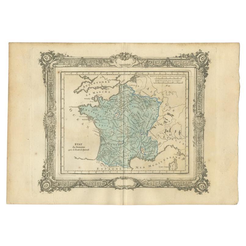
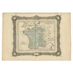
- Antique Map of France After the Peace of Ryswick by Zannoni, 1765By G. A. Rizzi-zannoniLocated in Langweer, NLAntique map France titled 'Etat du Domaine apès le Traité de Ryswick (..)'. Beautiful old map of France. This map originates from 'Atlas Historique de la France Ancienne et Moderne' ...Category
Antique 18th Century Maps
MaterialsPaper
 $130 Sale Price20% Off
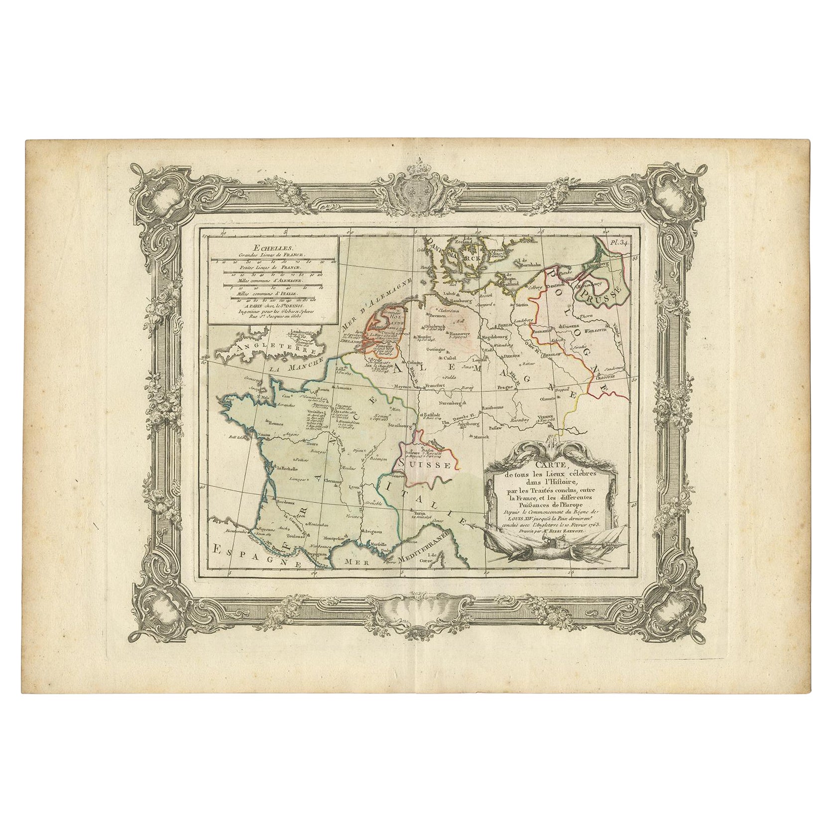
 - French Antique Map of France and Western Europe, 1765By G. A. Rizzi-zannoniLocated in Langweer, NLAntique map titled 'Carte de tous les Lieux, célébres dans l'Histoire (..)'. Beautiful old map of France and western Europe. This map originates from 'Atlas Historique de la France A...Category
Antique 18th Century Maps
MaterialsPaper
 $147 Sale Price20% Off
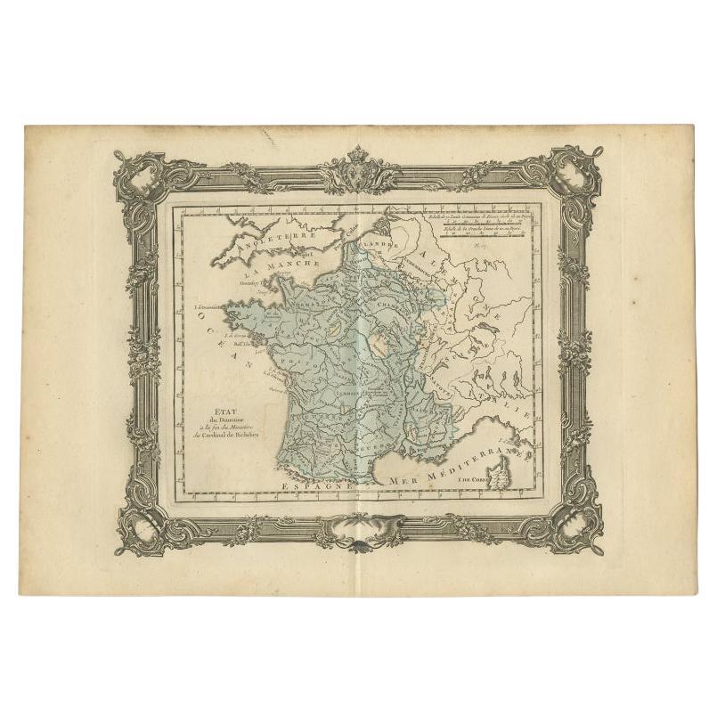
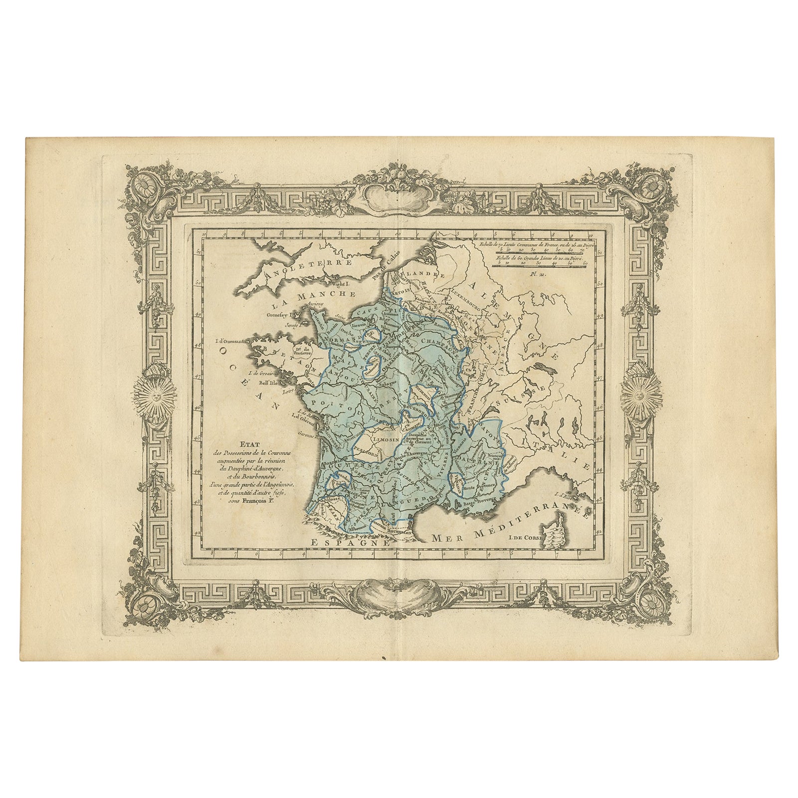
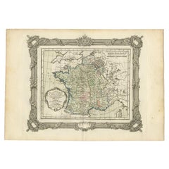
 - Antique Map of France at the End of the Ministry of Cardinal Richelieu, 1765By G. A. Rizzi-zannoniLocated in Langweer, NLAntique map France titled 'Etat du Domaine à la fin du Ministère du Cardinal de Richelieu (..)'. Beautiful old map of France. This map originates fr...Category
Antique 18th Century Maps
MaterialsPaper
 $130 Sale Price20% Off
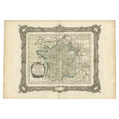
 - Antique Map of France at the Beginning of the 17th Century by Zannoni, 1765By G. A. Rizzi-zannoniLocated in Langweer, NLAntique map France titled 'Carte pour servir à intelligence de l'Histoire de France (..)'. Beautiful old map of France. This map originates from 'At...Category
Antique 18th Century Maps
MaterialsPaper
 $139 Sale Price20% Off
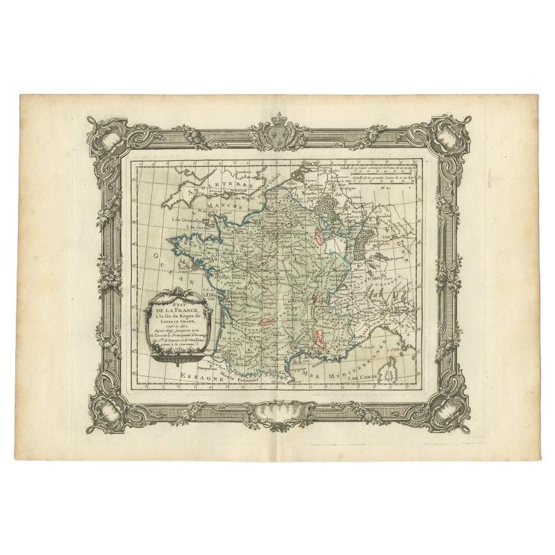
 - Antique Map of France at the end of the Reign of Louis the Great by Zannoni 1765By G. A. Rizzi-zannoniLocated in Langweer, NLAntique map France titled 'Etat de la France à la fin du Règne de Louis le Grand (..)'. Beautiful old map of France. This map originates from 'Atlas Historique de la France Ancienne ...Category
Antique 18th Century Maps
MaterialsPaper
 $158 Sale Price20% Off
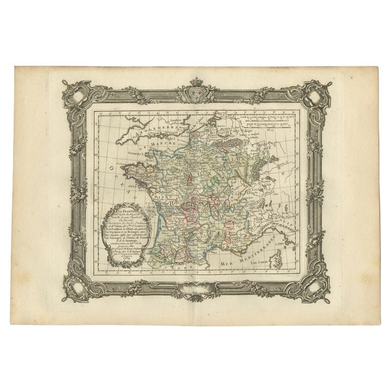
 - Antique Map of France at the End of the Reign of Jean II by Zannoni, 1765By G. A. Rizzi-zannoniLocated in Langweer, NLAntique map France titled 'La France sous la fin du Regne de Jean II (..)'. Beautiful old map of France. This map originates from 'Atlas Historique de la France Ancienne et Moderne' ...Category
Antique 18th Century Maps
MaterialsPaper
 $139 Sale Price20% Off
You May Also Like
- 1861 Topographical Map of the District of Columbia, by Boschke, Antique MapLocated in Colorado Springs, COPresented is an original map of Albert Boschke's extremely sought-after "Topographical Map of the District of Columbia Surveyed in the Years 1856 ...Category
Antique 1860s American Historical Memorabilia
MaterialsPaper
- Original Antique Map of France, Arrowsmith, 1820Located in St Annes, LancashireGreat map of France Drawn under the direction of Arrowsmith. Copper-plate engraving. Published by Longman, Hurst, Rees, Orme and Brown, 1820 Unframed.Category
Antique 1820s English Maps
MaterialsPaper

- 1812 United States Map, by Pierre Tardieu, Antique French Map Depicting the U.S.By Pierre François TardieuLocated in Colorado Springs, CO1812 "United States of Nth America -- Carte des Etats-Unis De L'Amerique Septentrionale" Two-Sheet Map by Tardieu This attractive map, published in Paris in 1812, is one of the most rare large format maps from the period. It features a view of the East Coast of the U.S. from Maryland to just below South Carolina. Additionally, Ellicott’s plan for the City of Washington D.C. is included at the top right and an illustration of Niagara Falls is shown at the bottom right with a description in both French and English. This extremely detailed map not only depicts the mountainous regions of the southeastern U.S., but also includes names of regions, rivers, and towns. Based on the first state of Arrowsmith’s 4-sheet map of the United States, this map is completely engraved by Tardieu in Paris and showcases high quality engravings. This detailed map of the recently independent United States includes one of the largest and earliest examples of the Ellicott plan of Washington DC. The artist, Pierre François Tardieu (PF Tardieu) was a very well-known map engraver, geographer, and illustrator. Awarded a bronze medal by King Louis-Phillipe for the accuracy and beauty of his map-making, Tardieu produced many fine works including maps of Louisiana...Category
Antique 1810s French Maps
MaterialsPaper
- Super Rare Antique French Map of Chine and the Chinese Empire, 1780Located in Amsterdam, Noord HollandSuper Rare Antique French Map of Chine and the Chinese Empire, 1780 Very nice map of Asia. 1780 Made by Bonne. Additional information: Type: Map ...Category
Antique 18th Century European Maps
MaterialsPaper
- Original Antique Map of the American State of Oregon, 1889Located in St Annes, LancashireGreat map of Oregon Drawn and Engraved by W. & A.K. Johnston Published By A & C Black, Edinburgh. Original colour Unframed.Category
Antique 1880s Scottish Victorian Maps
MaterialsPaper
- Original Antique Map of the American State of Washington, 1889Located in St Annes, LancashireGreat map of Washington Drawn and Engraved by W. & A.K. Johnston Published By A & C Black, Edinburgh. Original colour Unframed.Category
Antique 1880s Scottish Victorian Maps
MaterialsPaper


Recently Viewed
View AllMore Ways To Browse
Maps By Zannoni
Antique Maps Of London
Antique Map Of London
Antique And Collectable Fairs
Antique Maps Amsterdam
Antique Furniture South London
Antique Map England
Antique Maps England
Antique Railway
Antique England Map
Netherlands 16th Century
Wooden Map
Antique Maps Europe Maps
Antique Furniture In Texas
Antique Map Of England
Antique Maps Of England
Antique Furniture North East
Natural History Curiosities