Items Similar to Antique Map of Martinique with Title Cartouche Garnished with Sugar Cane, c.1760

Want more images or videos?
Request additional images or videos from the seller
1 of 7
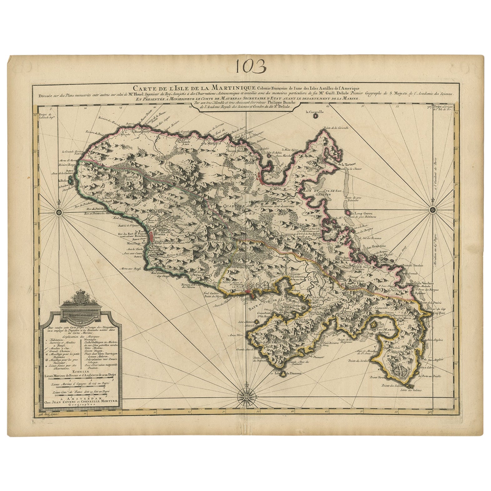
Antique Map of Martinique with Title Cartouche Garnished with Sugar Cane, c.1760
About the Item
Antique map titled 'Het Westindisch Eiland Martenique'. Decorative map of Martinique filled with good detail of roads, topography, soundings, villages, windmills, and plantations. The title cartouche incorporates the distance scales and is garnished with sugar cane. A small compass rose completes the composition. Source unknown, to be determined. Artists and Engravers: Isaak Tirion, a Dutch publisher in Amsterdam, was born 1705. He produced serveral Atlases and Dutch town plans. The maps mainly based on those of Guillaume de l'Isle. He died in 1765. Tirion was born in Utrecht in 1705. He moved to Amsterdam in 1725 and set up shop on Damrak as a book publisher. Tirion quick rose in prominence by publishing pamphlets, historical works, and, most importantly, maps and atlases. He eventually relocated his printing house to the prestigious Kalverstraat. In his long career he produced eight atlases in multiple editions, some of which were published posthumously until about 1784. Most of his cartographic work is based on the earlier maps of Guillaume de L'Isle.
Artist: Isaak Tirion, a Dutch publisher in Amsterdam, was born 1705. He produced serveral Atlases and Dutch town plans. The maps mainly based on those of Guillaume de l'Isle. He died in 1765. Tirion was born in Utrecht in 1705. He moved to Amsterdam in 1725 and set up shop on Damrak as a book publisher. Tirion quick rose in prominence by publishing pamphlets, historical works, and, most importantly, maps and atlases. He eventually relocated his printing house to the prestigious Kalverstraat. In his long career he produced eight atlases in multiple editions, some of which were published posthumously until about 1784. Most of his cartographic work is based on the earlier maps of Guillaume de L'Isle.
Condition: Good, given age. Tiny tear right edge; backed. Original folds as issued. General age-related toning and/or occasional minor defects from handling. Please study image carefully.
Date: c.1760
Overall size: 39.5 x 35.5 cm.
Image size: 36.8 x 30.9 cm.
- Dimensions:Height: 15.56 in (39.5 cm)Width: 13.98 in (35.5 cm)Depth: 0 in (0.01 mm)
- Materials and Techniques:
- Period:
- Date of Manufacture:circa 1760
- Condition:Condition: Good, given age. Tiny tear right edge; backed. Original folds as issued. General age-related toning and/or occasional minor defects from handling. Please study image carefully.
- Seller Location:Langweer, NL
- Reference Number:
About the Seller
5.0
Platinum Seller
These expertly vetted sellers are 1stDibs' most experienced sellers and are rated highest by our customers.
Established in 2009
1stDibs seller since 2017
1,932 sales on 1stDibs
Typical response time: <1 hour
- ShippingRetrieving quote...Ships From: Langweer, Netherlands
- Return PolicyA return for this item may be initiated within 14 days of delivery.
More From This SellerView All
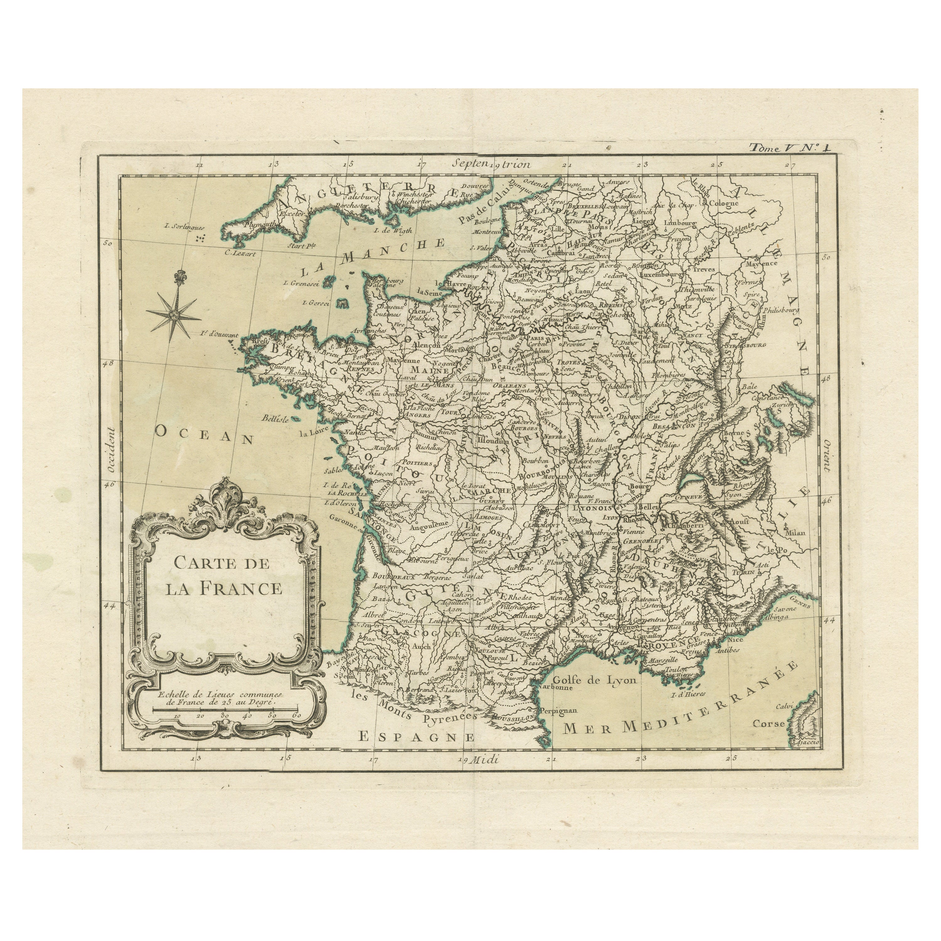
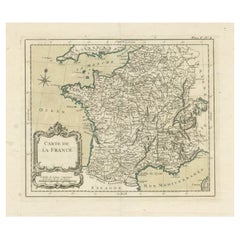
- Antique Map of France with Decorative Title CartoucheLocated in Langweer, NLAntique map titled 'Carte de la France'. Original old map of France. This map originates from 'Le Petit Atlas Maritime Recueil De Cartes et Plans Des Quatre Parties Du Monde (..) by ...Category
Antique Mid-18th Century Maps
MaterialsPaper
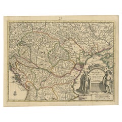
- Antique French Map of Hungary with Decorative Title Cartouche, c.1730Located in Langweer, NLAntique map titled 'La Hongrie suivant les Nouvelles Observations (..)'. Antique map of Hungary with decorative title cartouche. Artists and Engravers: ...Category
Antique 18th Century Maps
MaterialsPaper
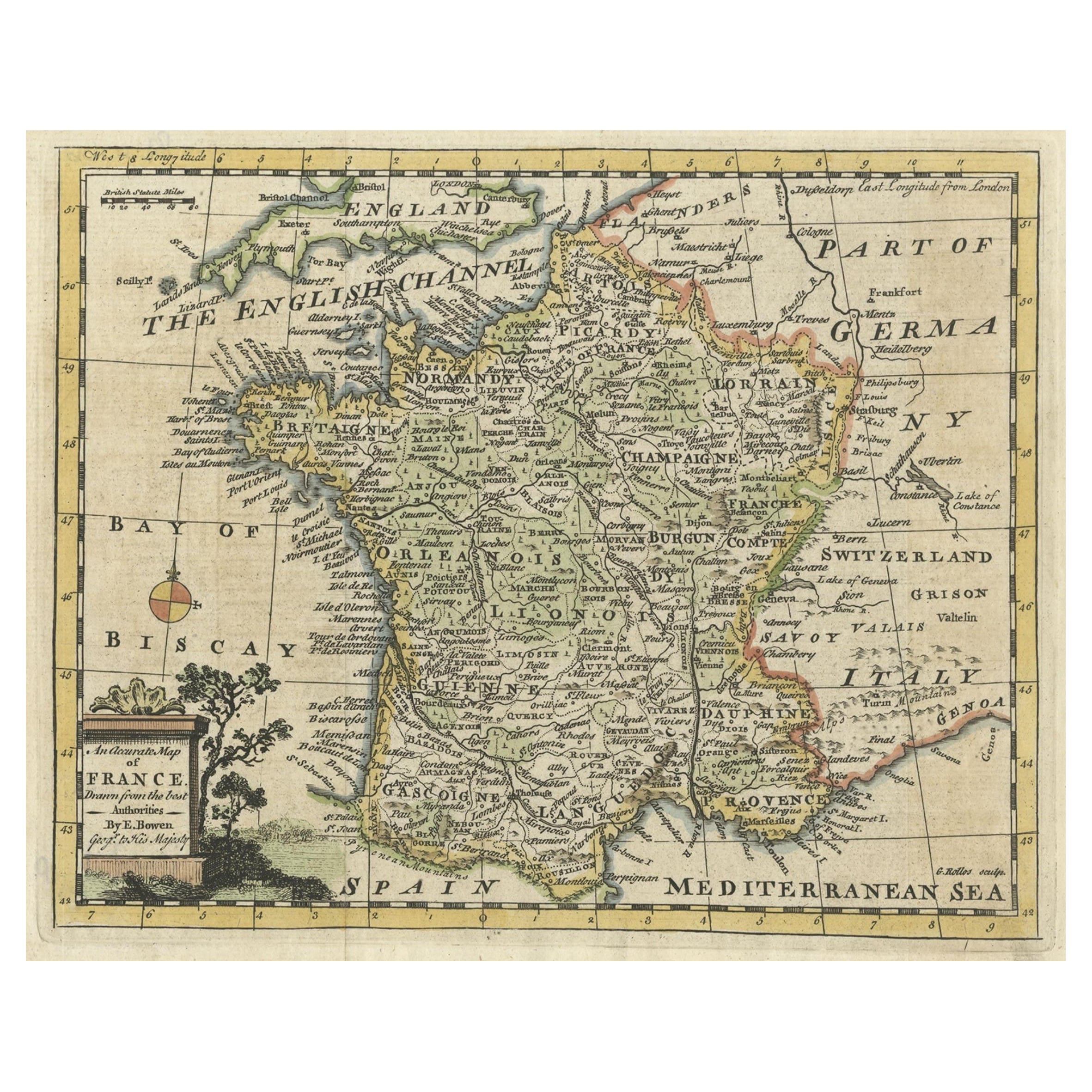
- Antique Map of Martinique, Showing Roads, Houses, Sugar Plantations, etc. c.1750Located in Langweer, NLAntique map titled 'Carte de l'Isle de la Martinique'. Detailed map of Martinique. Shows hilly terrain, forests, roads, houses, and even the sugar plantations. The island was to ...Category
Antique 18th Century Maps
MaterialsPaper
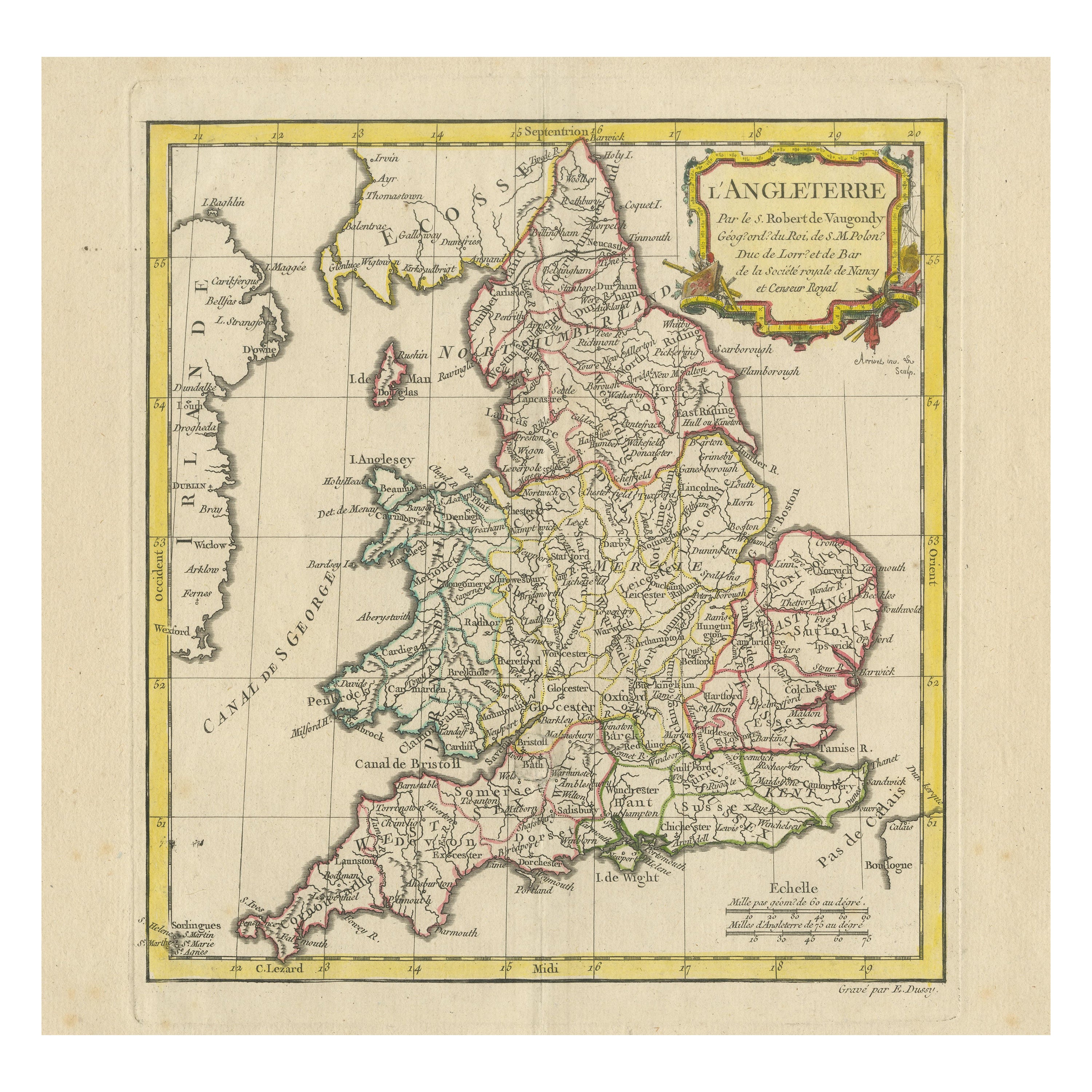
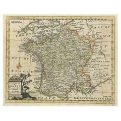
- Small Detailed Antique Map of France, with Decorative Title Cartouche, 1754Located in Langweer, NLAntique map France titled 'An Accurate Map of France drawn from the best authorities'. Small, detailed map of France. With decorative title cartouche. ...Category
Antique 1750s Maps
MaterialsPaper
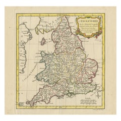
- Original Antique Map of England with Decorative CartoucheLocated in Langweer, NLAntique map titled 'l'Angleterre (..)'. Original antique map of England, with beautiful hand coloring and decorative cartouche. This map originates from 'Nouvel Atlas Portatif destin...Category
Antique Late 18th Century Maps
MaterialsPaper
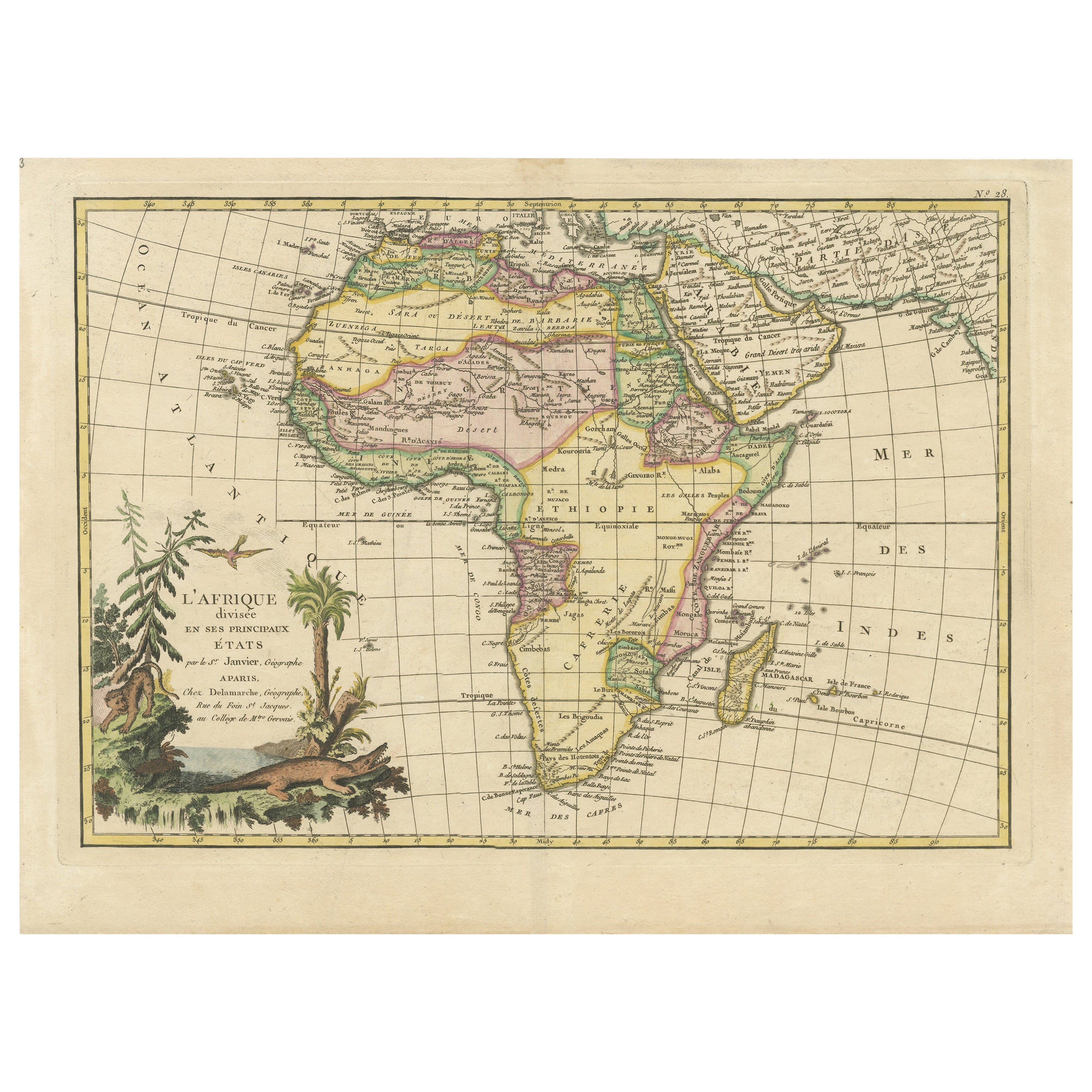
- Original Antique Map of Africa with large decorative cartoucheLocated in Langweer, NLOriginal antique map titled 'L'Afrique divisée en ses principaux États'. Attractive and precise map of Africa, with large decorative cartouche. Engraved by Janvier. Published by Dela...Category
Antique Late 18th Century Maps
MaterialsPaper


You May Also Like
- Antique Map of Principality of MonacoBy Antonio Vallardi EditoreLocated in Alessandria, PiemonteST/619 - "Old Geographical Atlas of Italy - Topographic map of ex-Principality of Monaco" - ediz Vallardi - Milano - A somewhat special edition ---Category
Antique Late 19th Century Italian Other Prints
MaterialsPaper
- Original Antique Map of Italy. Arrowsmith. 1820Located in St Annes, LancashireGreat map of Italy Drawn under the direction of Arrowsmith Copper-plate engraving Published by Longman, Hurst, Rees, Orme and Brown, 1820 Unframed.Category
Antique 1820s English Maps
MaterialsPaper
- Original Antique Map of China, Arrowsmith, 1820Located in St Annes, LancashireGreat map of China Drawn under the direction of Arrowsmith Copper-plate engraving Published by Longman, Hurst, Rees, Orme and Brown, 1820 Unfr...Category
Antique 1820s English Maps
MaterialsPaper
- Original Antique Map of Canada, Arrowsmith, 1820Located in St Annes, LancashireGreat map of Canada. Drawn under the direction of Arrowsmith. Copper-plate engraving. Published by Longman, Hurst, Rees, Orme and Brown, 1820 ...Category
Antique 1820s English Maps
MaterialsPaper
- Original Antique Map of Ireland- Kerry. C.1840Located in St Annes, LancashireGreat map of Kerry Steel engraving Drawn under the direction of A.Adlard Published by How and Parsons, C.1840 Unframed.Category
Antique 1840s English Maps
MaterialsPaper
- Original Antique Map of Europe, Arrowsmith, 1820Located in St Annes, LancashireGreat map of Europe Drawn under the direction of Arrowsmith. Copper-plate engraving. Published by Longman, Hurst, Rees, Orme and Brown, 1820 ...Category
Antique 1820s English Maps
MaterialsPaper


