Items Similar to Antique Map of Northern Germany by M. Seutter, circa 1730


Want more images or videos?
Request additional images or videos from the seller
1 of 5
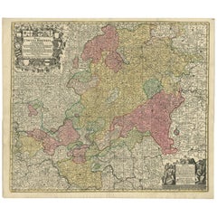
Antique Map of Northern Germany by M. Seutter, circa 1730
About the Item
Antique map titled 'Saxoniae Inferioris Circulus'. Old map of the northern part of Germany by M. Seutter. Covering the area of Lower Saxony, Mecklenburg-Vorpommern and Schleswig-Holstein up to Berlin in the East. With a figurative cartouche.
- Creator:Matthew Seutter (Artist)
- Dimensions:Height: 20.67 in (52.5 cm)Width: 24.61 in (62.5 cm)Depth: 0.02 in (0.5 mm)
- Materials and Techniques:
- Period:
- Date of Manufacture:circa 1730
- Condition:Please study images carefully.
- Seller Location:Langweer, NL
- Reference Number:
About the Seller
5.0
Platinum Seller
These expertly vetted sellers are 1stDibs' most experienced sellers and are rated highest by our customers.
Established in 2009
1stDibs seller since 2017
1,916 sales on 1stDibs
Typical response time: <1 hour
- ShippingRetrieving quote...Ships From: Langweer, Netherlands
- Return PolicyA return for this item may be initiated within 14 days of delivery.
More From This SellerView All
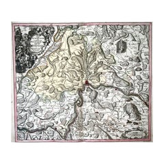
- Hand-Colored Antique Map of part of Germany by M. Seutter, c. 1730By Matthew SeutterLocated in Langweer, NLAntique map titled 'Mappa Circuli Rhenani Superioris (..). Original map with hand coloring of part of Germany. It includes the region of Kassel, Göttingen, Eisenach, Schweinfurt, Wer...Category
Antique Mid-18th Century Maps
MaterialsPaper
- Antique Map of Sweden by Homann, 'circa 1730'Located in Langweer, NLAntique map titled 'Nova Tabula Scaniae (..)'. Attractive map showing the historical provinces of Sweden: Schonen with Malmö, Blekinge with Karlskrona and the south part of Halland. ...Category
Antique Mid-18th Century Maps
MaterialsPaper
- Antique Map of Denmark by Moll 'circa 1730'By Herman MollLocated in Langweer, NLAntique map titled 'Denmark, agreeable to Modern History'. Uncommon map of Denmark by Herman Moll, published, circa 1730.Category
Antique Mid-18th Century Maps
MaterialsPaper
- Decorative Original Antique Map of Southern Germany, c.1730Located in Langweer, NL"Antique map titled 'The South West Part of Germany. Containing ye Dominions of the Archbishops and Electors of Mentz Y Treves, and of ye Elec. Palatine of ye Rhine; with Franconia, ...Category
Antique 18th Century Maps
MaterialsPaper
- Antique Map of Greece by Seutter or Lotter, 'c.1740'Located in Langweer, NLAntique map titled 'Graecia pars Septentrionalis'. Original antique map of Greece, uncommon. Signed cum Gratia et Privil. S.R.I. Vicariatus (..)'. Published by Seutter or Lotter, cir...Category
Antique Mid-18th Century Maps
MaterialsPaper
- Antique Map of France by Mortier 'c.1730'Located in Langweer, NLAntique map titled 'Galliae Antiquae Tabula'. Original antique map of France in ancient times. Published by P. Mortier, circa 1730.Category
Antique Mid-18th Century Maps
MaterialsPaper


You May Also Like
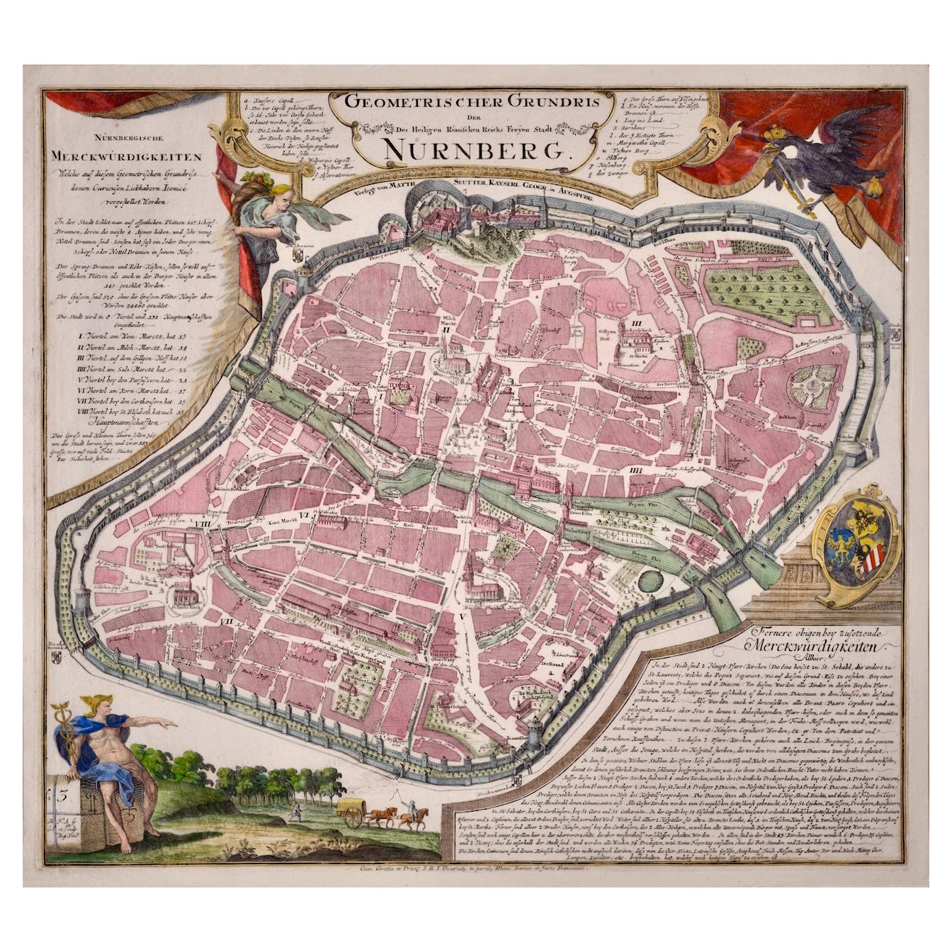
- City View of Nuremberg, Germany: An 18th Century Hand-Colored Map by M. SeutterBy Matthew SeutterLocated in Alamo, CAAn 18th century hand-colored city view of Nuremburg, Germany entitled "Geometrischer Grundris der des Heiligen Römischen Reichs Freyen Stadt Nürnberg" by Matthaus Seutter from his "A...Category
Antique Mid-18th Century German Maps
MaterialsPaper
- 1750 Schaffhausen, Seutter, Large and Detailed Map SwitzerlandBy Matthew SeutterLocated in Norwich, GBSandrart Joachim, von (1606-1688) Effigies antiquae Romae. redacta a Pyrrho Ligorio Romano, per XIIII Regiones, in quas Urbem divisit Imp. Caesar August. Nuremberg, Germany, pu...Category
Antique 1670s Italian Baroque Prints
MaterialsPaper
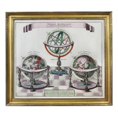
- Framed Engraving By Matthaus Seutter Of Sphaerae ArtificialesLocated in Essex, MACartographer from Germany 1678-1757. Hand colored. Gilt wood frame. Estate of William Hodgins.Category
Antique Early 1700s German Prints
MaterialsPaper
- Matthaus Seutter, Framed 1730 Color Engraving Map of "Belgium Fonderatum"Located in Bridgeport, CTLabel on verso. From Grosser Atlas. The name Belgium comes from the ancient designation "Gallis Belgica". Figural decoration upper left. M. Seutter was a famed German mapmaker in the...Category
Antique 18th Century European Renaissance Maps
MaterialsBrass
- Original Antique Map of Belgium by Tallis, Circa 1850Located in St Annes, LancashireGreat map of Belgium Steel engraving Many lovely vignettes Published by London Printing & Publishing Co. ( Formerly Tallis ), C.1850 Origin...Category
Antique 1850s English Maps
MaterialsPaper
- Original Antique Map of South America, circa 1830Located in St Annes, LancashireGreat map of South America Copper plate engraving Published by Butterworth, Livesey & Co., circa 1830 Unframed.Category
Antique Early 1800s English Other Maps
MaterialsPaper