Items Similar to Antique Map of Polynesia by Walker, 1840


Want more images or videos?
Request additional images or videos from the seller
1 of 5
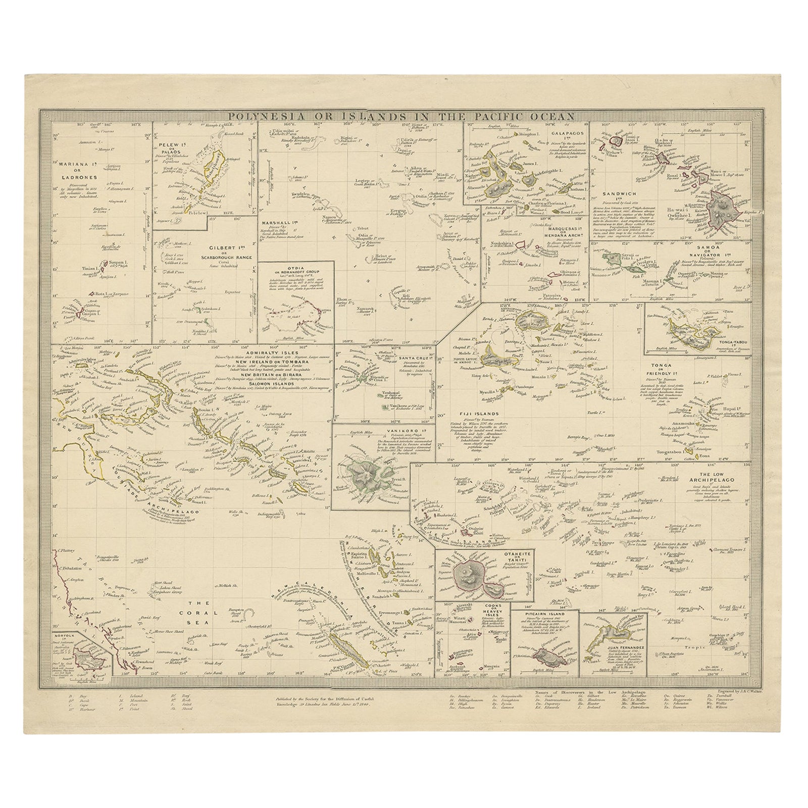
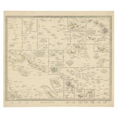
Antique Map of Polynesia by Walker, 1840
About the Item
Antique map titled 'Polynesia or Islands in the Pacific Ocean'. This map depicts various islands including the Lousiade Archipelago, Tahiti, Pitcairn Island, Juan Fernandez, The low Archipelago, Tonga or Friendly Islands, Vanikoro, SantaCruz, the Admiralty Isles, Salomon Islands, Samoa, Sandwich and the Ladrones. Artists and Engravers: Published by the Society for the Diffusion of Useful Knowledge, 1840. Engraved by J. & C. Walker.
Artist: Published by the Society for the Diffusion of Useful Knowledge, 1840. Engraved by J. & C. Walker.
Condition: Fair, age-related toning. Few tears, slightly affecting image. Please study image carefully.
Date: 1840
Overall size: 40.5 x 33.5 cm.
Image size: 0.001 x 39.5 x 31 cm.
Antique prints have long been appreciated for both their aesthetic and investment value. They were the product of engraved, etched or lithographed plates. These plates were handmade out of wood or metal, which required an incredible level of skill, patience and craftsmanship. Whether you have a house with Victorian furniture or more contemporary decor an old engraving can enhance your living space. We offer a wide range of authentic antique prints for any budget.
- Dimensions:Height: 13.19 in (33.5 cm)Width: 15.95 in (40.5 cm)Depth: 0 in (0.01 mm)
- Materials and Techniques:
- Period:
- Date of Manufacture:1840
- Condition:Condition: Fair, age-related toning. Few tears, slightly affecting image. Please study image carefully.
- Seller Location:Langweer, NL
- Reference Number:
About the Seller
5.0
Platinum Seller
These expertly vetted sellers are 1stDibs' most experienced sellers and are rated highest by our customers.
Established in 2009
1stDibs seller since 2017
1,940 sales on 1stDibs
Typical response time: <1 hour
- ShippingRetrieving quote...Ships From: Langweer, Netherlands
- Return PolicyA return for this item may be initiated within 14 days of delivery.
More From This SellerView All
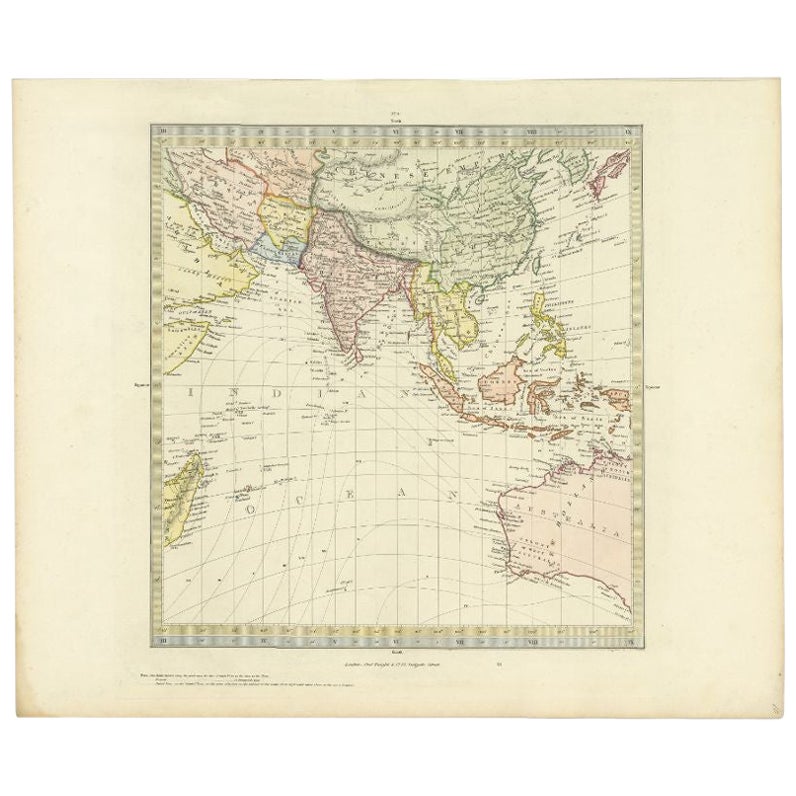
- Antique Map of Southern Asia by Walker, c.1840Located in Langweer, NL"Original antique map of Southern Asia, the East Indies and the Indian Ocean. Also shows part of Australia. Published circa 1840. Artists and Engravers: ...Category
Antique 19th Century Maps
MaterialsPaper
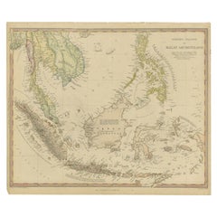
- Antique Map of the East Indies by Walker, c.1840Located in Langweer, NLOriginal antique map of the East Indies including Borneo, Celebes, Java, Sumatra and surrounding islands. Published circa 1840. Artists and Engravers: Engraved by J. & C. Walker ...Category
Antique 19th Century Maps
MaterialsPaper
- Antique Map of Polynesia with Details of Many Islands, 1840Located in Langweer, NLAntique map titled 'Polynesia or Islands in the Pacific Ocean'. This map depicts various islands including the Lousiade Archipelago, Tahiti, Pitcairn Island, Juan Fernandez, The lo...Category
Antique 19th Century Maps
MaterialsPaper
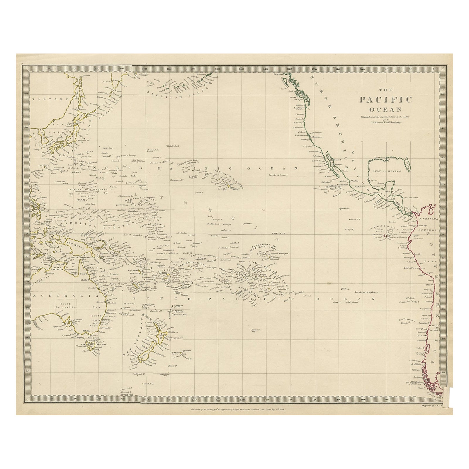
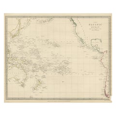
- Antique Map of Australasia, New Zealand, Polynesia & the Pacific Ocean, 1840Located in Langweer, NLAntique map titled 'The Pacific Ocean'. This map depicts Australasia, New Zealand, Polynesia and islands in the Pacific Ocean including the Sandwich Islands. Artists and Engravers: Published by the Society for the Diffusion of Useful Knowledge, 1840. Engraved by J. & C. Walker. Condition: Good, general age-related toning. Few tiny tears...Category
Antique 1840s Maps
MaterialsAbalone, Paper
- Antique Map of Eastern Polynesia, 1849Located in Langweer, NLAntique map titled 'Ost-Polynesien'. Interesting variant issue, with large detailed insets top right of Hawaii volcanos near Kilauea. Insets lower right of Honolulu harbour, island o...Category
Antique Mid-19th Century Maps
MaterialsPaper
- Antique Map of Western Polynesia, 1849Located in Langweer, NLAntique map titled 'Ost-Polynesien'. Detailed map of the western Pacific extending from the Celebes to Samoa and including part of Australia. Insets of...Category
Antique Mid-19th Century Maps
MaterialsPaper


You May Also Like
- Original Antique Map of Ireland- Kerry. C.1840Located in St Annes, LancashireGreat map of Kerry Steel engraving Drawn under the direction of A.Adlard Published by How and Parsons, C.1840 Unframed.Category
Antique 1840s English Maps
MaterialsPaper
- Original 1891 Walker MapLocated in Norwell, MAOriginal 1891 map of Massachusetts by Walker. Towns include Cambridge, Boston, Dedham, Ashland, Brookline, Newton etc... burl wood frame. Measures...Category
Antique 19th Century Maps
- Original Antique Map of South East Asia by Becker, circa 1840Located in St Annes, LancashireGreat map of South East Asia Steel engraving with original color outline Engraved by Becker Published by Virtue, circa 1840. Unframed.Category
Antique 1840s English Other Maps
MaterialsPaper
- Original Antique English County Map, Somerset. J & C Walker, 1851Located in St Annes, LancashireGreat map of Somerset Original colour By J & C Walker Published by Longman, Rees, Orme, Brown & Co. 1851 Unframed.Category
Antique 1850s English Other Maps
MaterialsPaper
- Original Antique English County Map, Suffolk, J & C Walker, 1851Located in St Annes, LancashireGreat map of Suffolk Original colour By J & C Walker Published by Longman, Rees, Orme, Brown & Co. 1851 Unframed.Category
Antique 1850s English Other Maps
MaterialsPaper
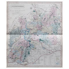
- Original Antique English County Map, Gloucestershire, J & C Walker, 1851Located in St Annes, LancashireGreat map of Gloucestershire Original colour By J & C Walker Published by Longman, Rees, Orme, Brown & Co. 1851 Unframed.Category
Antique 1850s English Other Maps
MaterialsPaper


Recently Viewed
View AllMore Ways To Browse
Antique Walker
Antique Walkers
Long Island Artists
Antique Sandwich
Map Of Long Island
Long Island Map
Maps Of Long Island
Antique Map Fair
Antique Ocean Prints
Antique Ocean Map
Sandwich Plate
Antique Sandwich Plates
Pacific Map
Ocean Decor
Antique Long Island Map
Antique Maps Of Long Island
Antique Map Of Long Island
Antique Map Long Island