
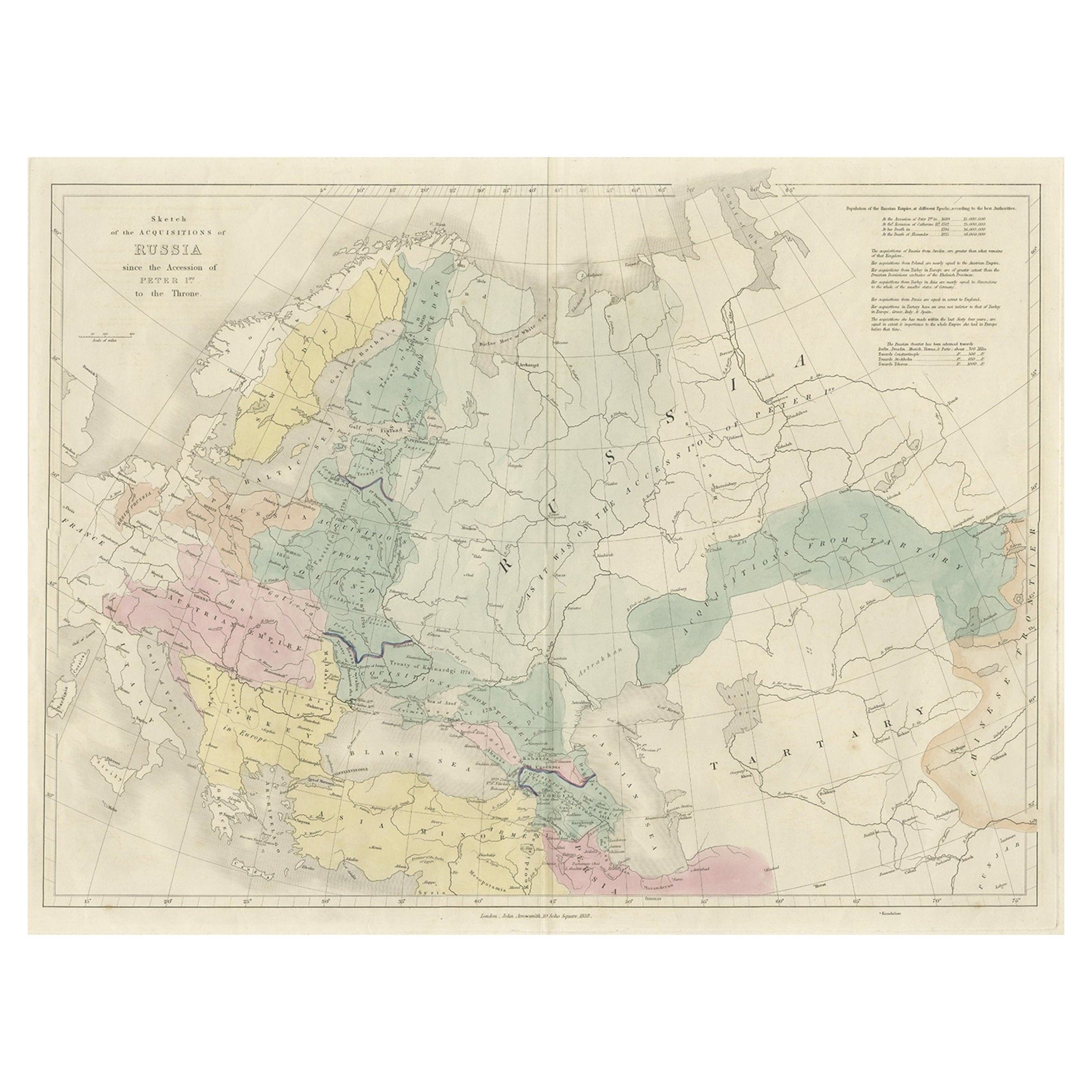
Antique Map of Russia (circa 1900)
View Similar Items


Want more images or videos?
Request additional images or videos from the seller
1 of 5
Antique Map of Russia (circa 1900)
About the Item
- Dimensions:Height: 13 in (33 cm)Width: 17.72 in (45 cm)Depth: 0.02 in (0.5 mm)
- Materials and Techniques:
- Period:
- Date of Manufacture:circa 1900
- Condition:Please study image carefully.
- Seller Location:Langweer, NL
- Reference Number:Seller: BG-006831stDibs: LU305438912873
About the Seller
5.0
Platinum Seller
These expertly vetted sellers are 1stDibs' most experienced sellers and are rated highest by our customers.
Established in 2009
1stDibs seller since 2017
1,933 sales on 1stDibs
More From This SellerView All
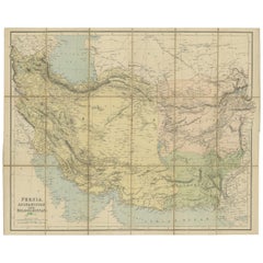
- Antique Map of West Asia, circa 1900Located in Langweer, NLAntique map titled 'Persia, Afghanistan and Beloochistan'. Folding map on linen. Published circa 1900. Stamp below title.Category
Early 20th Century Maps
MaterialsPaper
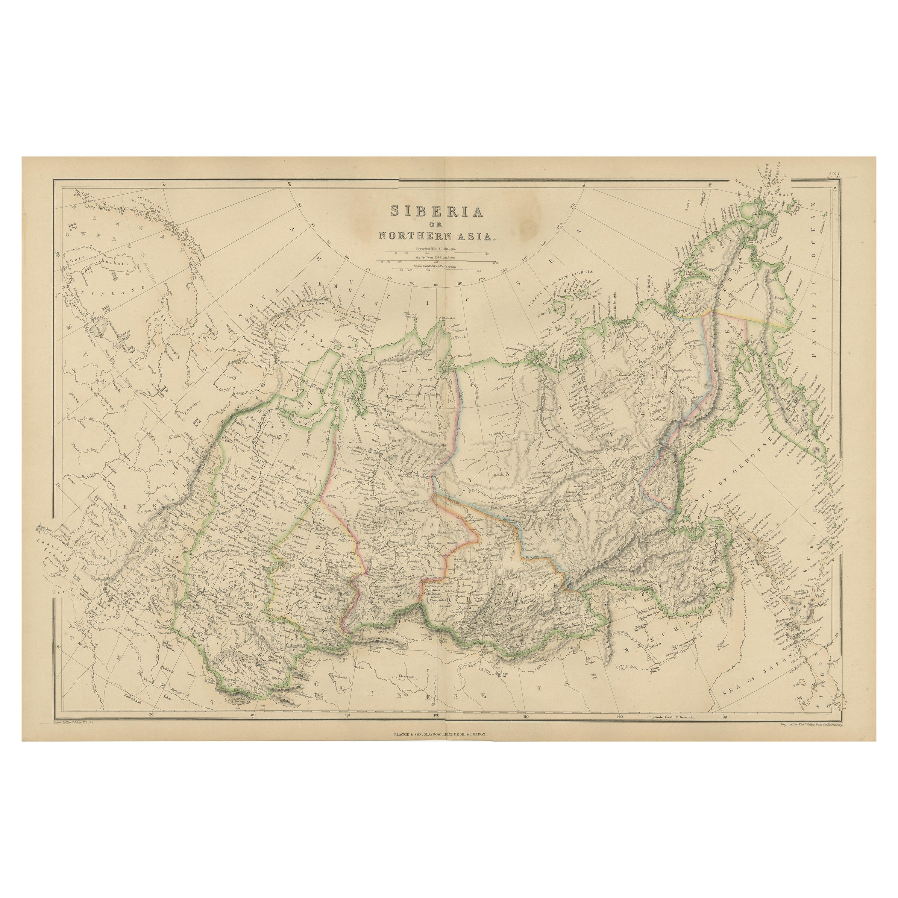
- Antique Map of Siberia, Russia, 1859Located in Langweer, NLAntique map titled 'Siberia or Northern Asia'. Original antique map of Siberia or Northern Asia. This map originates from ‘The Imperial Atlas of Modern Geography’. Published by W. G....Category
Antique Mid-19th Century Maps
MaterialsPaper
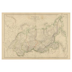 $219 Sale Price20% Off
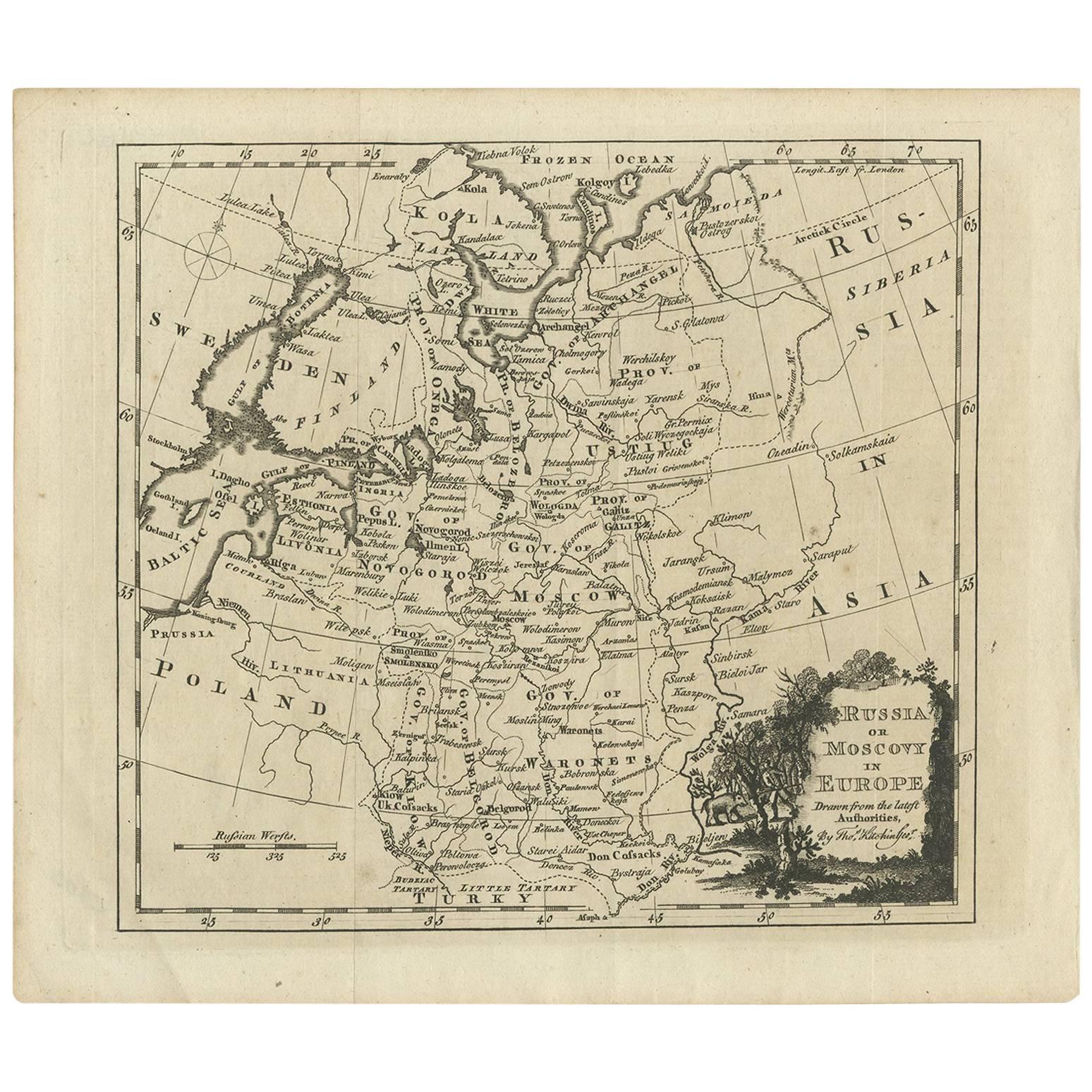
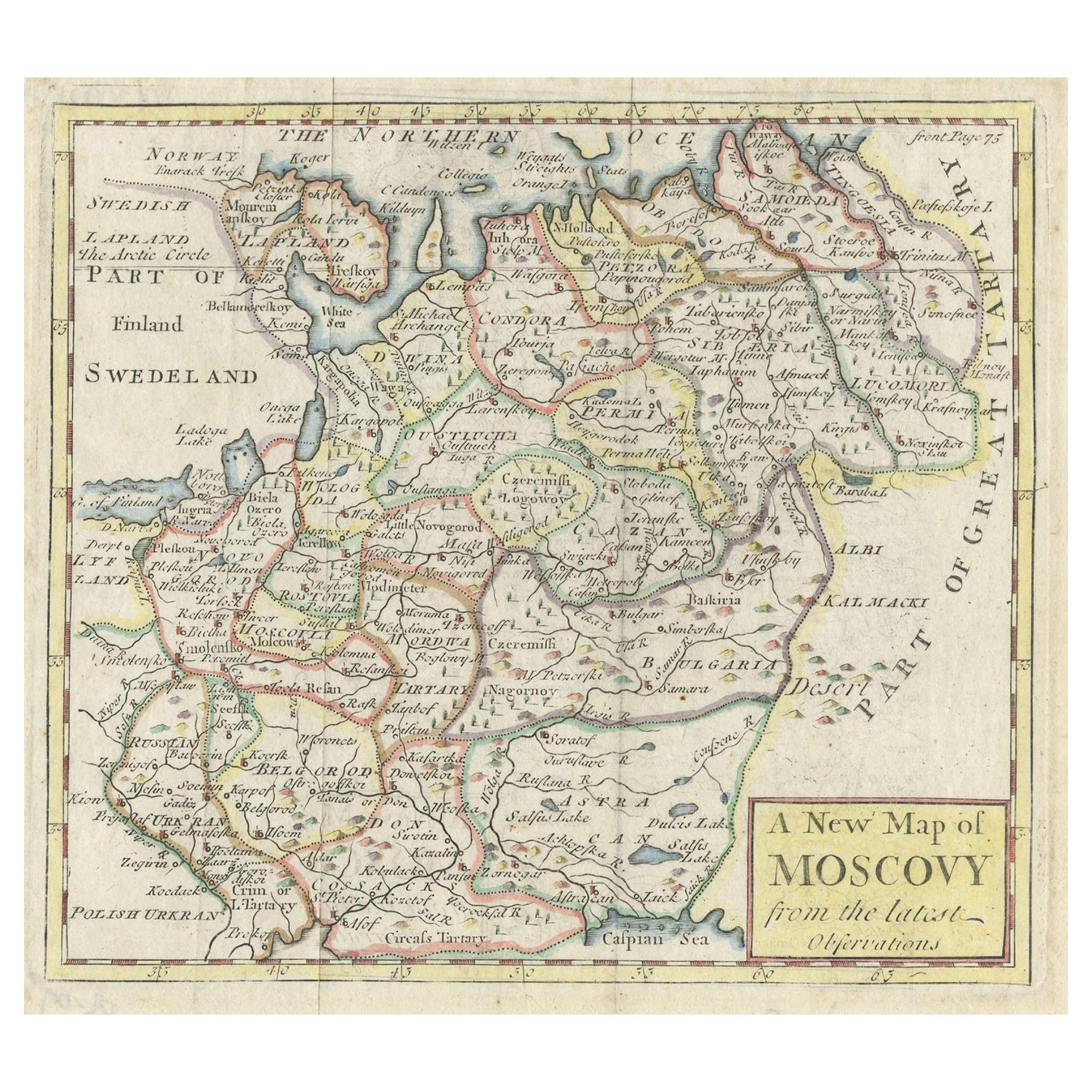
 - Antique Map of Russia in Europe by T. Kitchin, circa 1770Located in Langweer, NLAntique map titled 'Russia or Moscovy in Europe, drawn from the latest authorities (..)'. An interesting and attractive early 19th century map of Russia in Europe which was engraved ...Category
Antique Late 18th Century Maps
MaterialsPaper
 $131 Sale Price25% Off
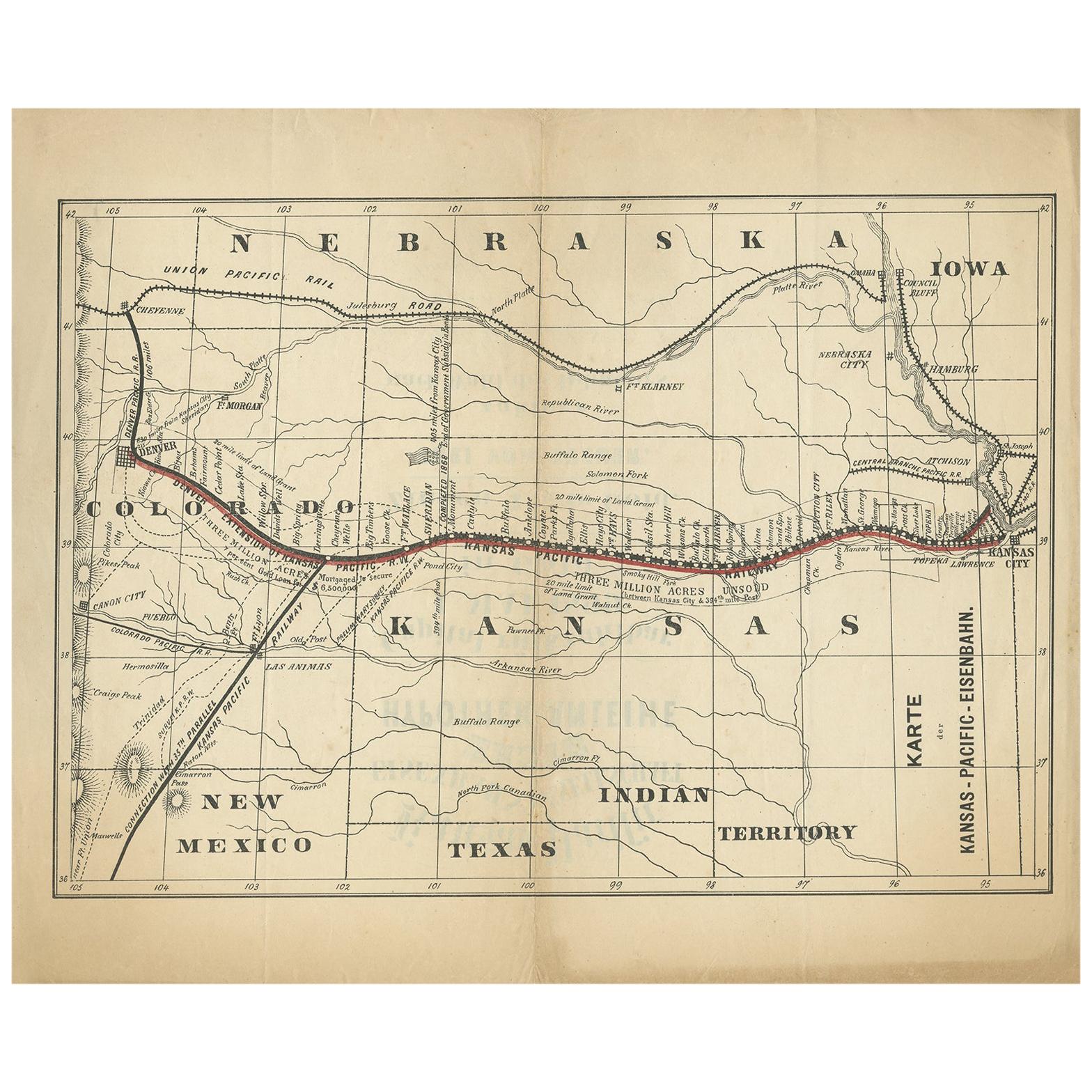
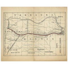
 - Antique Map of the Kansas Pacific Railroad, circa 1900Located in Langweer, NLAntique map titled 'Karte der Kansas-Pacific-Eisenbahn'. Lithographed map of the Kansas Pacific railroad. German text on verso which reads 'Kansas Pacific Eisenbahn Gesellschaft erst...Category
Early 20th Century Maps
MaterialsPaper
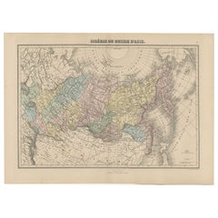
- Antique Map of Siberia and Russia, c.1885Located in Langweer, NLAntique map titled 'Siberie ou Russie d?Asie'. This is a fine example of J. Migeon's map of Russia in Asia. Migeon's map covers the Russian empire in Asia from european Russia and th...Category
Antique 19th Century Maps
MaterialsPaper
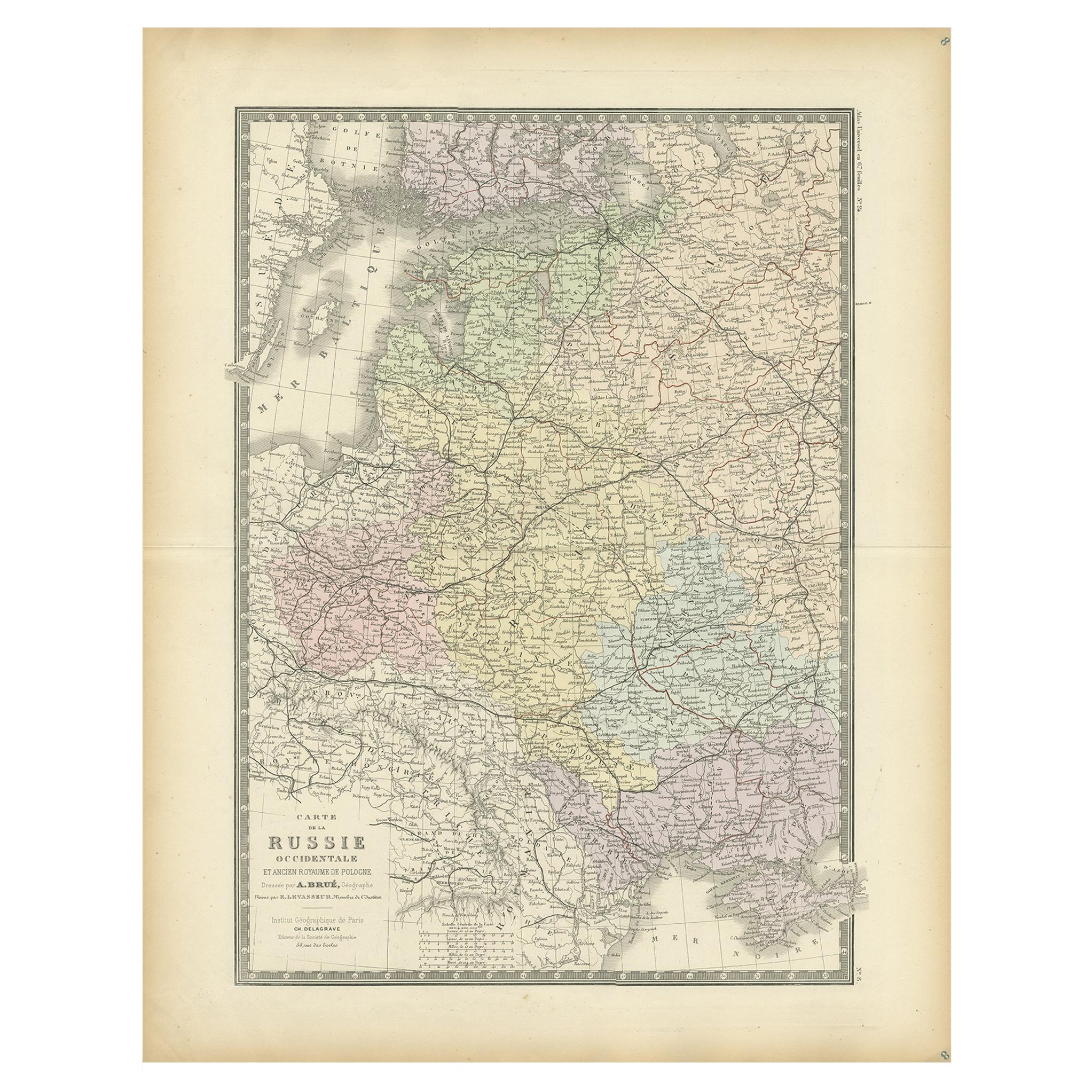
- Antique Map of Russia in Europe, 1842Located in Langweer, NLAntique map titled 'Carte de la Russie d'Europe'. Map of Russia in Europe. This map originates from 'Atlas universel de géographie ancienne et moderne (....Category
Antique 19th Century Maps
MaterialsPaper
 $209 Sale Price20% Off
You May Also Like
- Original Antique Map of Russia By Arrowsmith. 1820Located in St Annes, LancashireGreat map of Russia Drawn under the direction of Arrowsmith Copper-plate engraving Published by Longman, Hurst, Rees, Orme and Brown, 1820 Unframed.Category
Antique 1820s English Maps
MaterialsPaper

- Original Antique Map of South America, circa 1830Located in St Annes, LancashireGreat map of South America Copper plate engraving Published by Butterworth, Livesey & Co., circa 1830 Unframed.Category
Antique Early 1800s English Other Maps
MaterialsPaper

- Original Antique Map of Belgium by Tallis, Circa 1850Located in St Annes, LancashireGreat map of Belgium Steel engraving Many lovely vignettes Published by London Printing & Publishing Co. ( Formerly Tallis ), C.1850 Origin...Category
Antique 1850s English Maps
MaterialsPaper
- Original Antique Map of Spain and Portugal, circa 1790Located in St Annes, LancashireSuper map of Spain and Portugal Copper plate engraving by A. Bell Published, circa 1790. Unframed.Category
Antique 1790s English Other Maps
MaterialsPaper
- Antique Map of Principality of MonacoBy Antonio Vallardi EditoreLocated in Alessandria, PiemonteST/619 - "Old Geographical Atlas of Italy - Topographic map of ex-Principality of Monaco" - ediz Vallardi - Milano - A somewhat special edition ---Category
Antique Late 19th Century Italian Other Prints
MaterialsPaper
 $227 Sale Price74% Off
 - Original Antique Map / City Plan of Brussels by Tallis, circa 1850Located in St Annes, LancashireGreat map of Brussels. Steel engraving. Published by London Printing & Publishing Co. (Formerly Tallis), C.1850 Free shipping.Category
Antique 1850s English Maps
MaterialsPaper


Recently Viewed
View AllMore Ways To Browse
Asia Map Vintage
Asia Vintage Map
Vintage Map Of Asia
Antique Furniture South East London
Antique Island Caribbean
Teak Sphere
Atlas Stand
Antique Battle Maps
Reclaimed Lumber
Map Of Virginia
Pirate Antique
Bonne Map
Antique Pirate
Bag With Map
Antique Maps Ireland
New Zealand Map
Antique Ireland Maps
Antique Ireland Map