Items Similar to Canada’s West – 1903 Engraved Map by Johnston – Unique and Historic

Want more images or videos?
Request additional images or videos from the seller
1 of 10
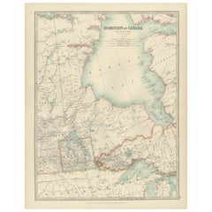
Canada’s West – 1903 Engraved Map by Johnston – Unique and Historic
$406.51
£300.94
€340
CA$562.51
A$620.15
CHF 324.44
MX$7,608.11
NOK 4,084.10
SEK 3,819.28
DKK 2,589.91
About the Item
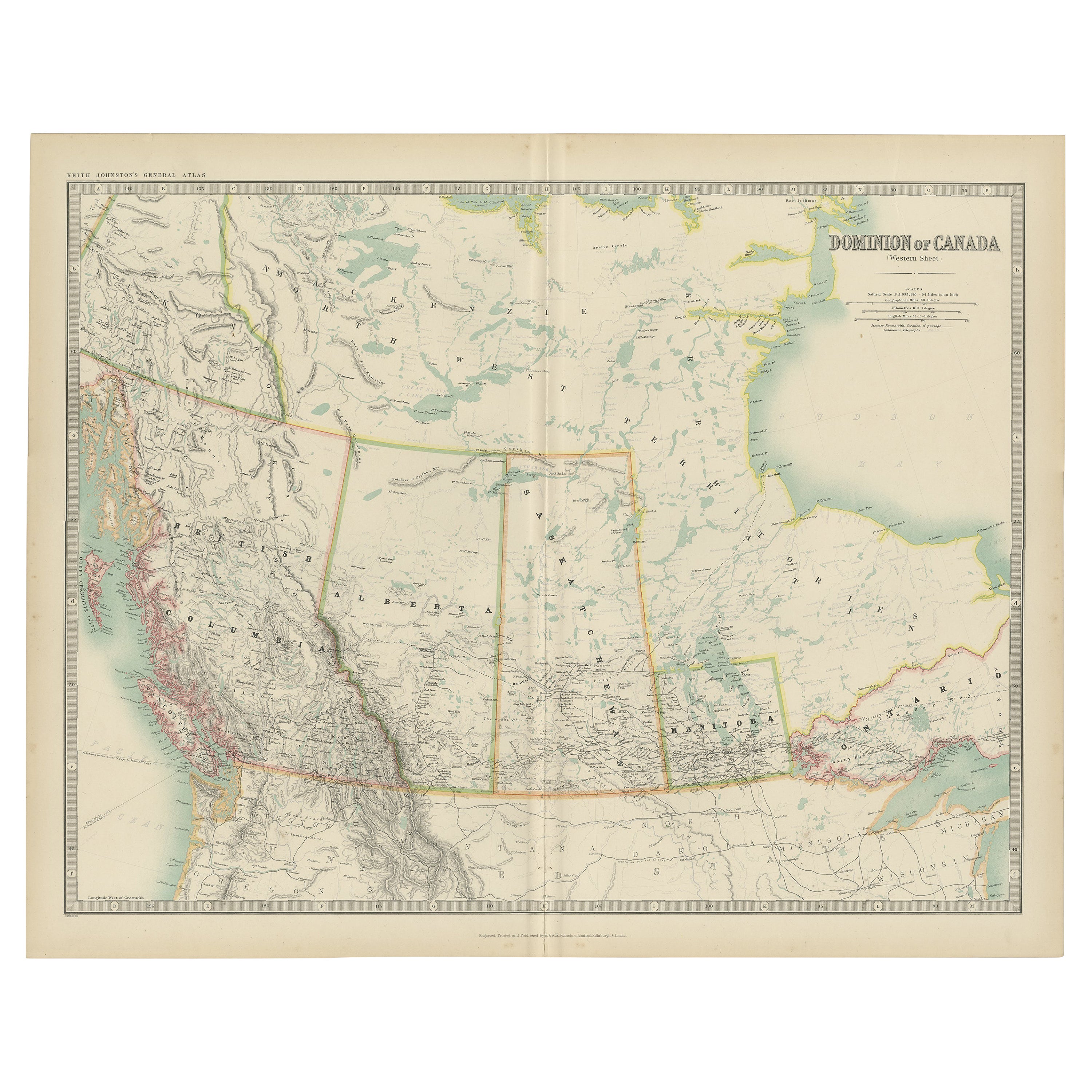
This beautiful and detailed map, titled "Dominion of Canada (Western Sheet)," was created by Keith Johnston and published in 1903.
It presents a fascinating depiction of Canada's western territories, covering regions from British Columbia, Alberta, and parts of Saskatchewan and the Northwest Territories. Johnston, a distinguished Scottish geographer and cartographer, created maps that were not only precise but also highly artistic, reflecting the cartographic standards of the early 20th century.
The map showcases the intricate mountain ranges of British Columbia, the vast plains of Alberta, and the rich river systems that flow through these regions, including the Fraser, Columbia, and Peace Rivers. The rugged coastline of the Pacific Ocean, along with numerous inlets and islands, is carefully delineated, giving insight into the coastal geography of this vast area. The depiction of mountain ranges, particularly the Rocky Mountains, with their shaded relief and meticulous detail, adds depth and a striking visual dimension to the map.
Johnston’s maps were known for their accuracy and elegant typography, evident here in the clean lettering and delicate border treatments. The political boundaries of the provinces and territories are outlined in color, aiding in the visual separation of these areas and providing historical context to the development of Canada's western frontier. Notably, the map also includes names of smaller settlements, indigenous territories, trading posts, and other historical landmarks, reflecting the mapmaker's dedication to comprehensive geographic documentation.
This map is an exceptional piece for collectors, historians, and anyone with an interest in Canada's western development. It speaks to the era's growing interest in exploration and the expansion of railways and settlements across this breathtaking landscape.
The map’s condition is excellent, with clear, sharp impressions and only minor signs of age-related toning, adding to its antique charm.
For framing, consider using a classic wooden or dark-colored frame with a neutral mat to enhance the subtle colors and fine details of the engraving. This would make a striking focal point in a study, office, or living space, offering both historical insight and timeless visual appeal.
- Dimensions:Height: 18.51 in (47 cm)Width: 14.49 in (36.8 cm)Depth: 0.01 in (0.2 mm)
- Materials and Techniques:
- Period:
- Date of Manufacture:1903
- Condition:The map’s condition is excellent, with clear, sharp impressions and only minor signs of age-related toning, adding to its antique charm.
- Seller Location:Langweer, NL
- Reference Number:Seller: BG-13577-441stDibs: LU3054345291632
About the Seller
5.0
Recognized Seller
These prestigious sellers are industry leaders and represent the highest echelon for item quality and design.
Platinum Seller
Premium sellers with a 4.7+ rating and 24-hour response times
Established in 2009
1stDibs seller since 2017
2,613 sales on 1stDibs
Typical response time: <1 hour
- ShippingRetrieving quote...Shipping from: Langweer, Netherlands
- Return Policy
Authenticity Guarantee
In the unlikely event there’s an issue with an item’s authenticity, contact us within 1 year for a full refund. DetailsMoney-Back Guarantee
If your item is not as described, is damaged in transit, or does not arrive, contact us within 7 days for a full refund. Details24-Hour Cancellation
You have a 24-hour grace period in which to reconsider your purchase, with no questions asked.Vetted Professional Sellers
Our world-class sellers must adhere to strict standards for service and quality, maintaining the integrity of our listings.Price-Match Guarantee
If you find that a seller listed the same item for a lower price elsewhere, we’ll match it.Trusted Global Delivery
Our best-in-class carrier network provides specialized shipping options worldwide, including custom delivery.More From This Seller
View AllAntique Map of Canada by Johnston '1909'
Located in Langweer, NL
Antique map titled 'Dominion of Canada'. Original antique map of Canada. This map originates from the ‘Royal Atlas of Modern Geography’. Publishe...
Category
Early 20th Century Maps
Materials
Paper
$239 Sale Price
20% Off
British Columbia 1888 Antique Map – Beautiful BC, Towns & Settlements
Located in Langweer, NL
Antique Map of British Columbia, Canada – Rand McNally, circa 1888
Description:
This antique map of British Columbia was published by Rand, McNally & Co. around 1888. It presents th...
Category
Antique Late 19th Century American Maps
Materials
Paper
Old Original Antique Map of Western Canada, 1882
Located in Langweer, NL
Antique map titled 'Dominion of Canada'.
Old map of Western Canada. This map originates from 'The Royal Atlas of Modern Geography, Exhibiting, in a ...
Category
Antique 1880s Maps
Materials
Paper
$267 Sale Price
20% Off
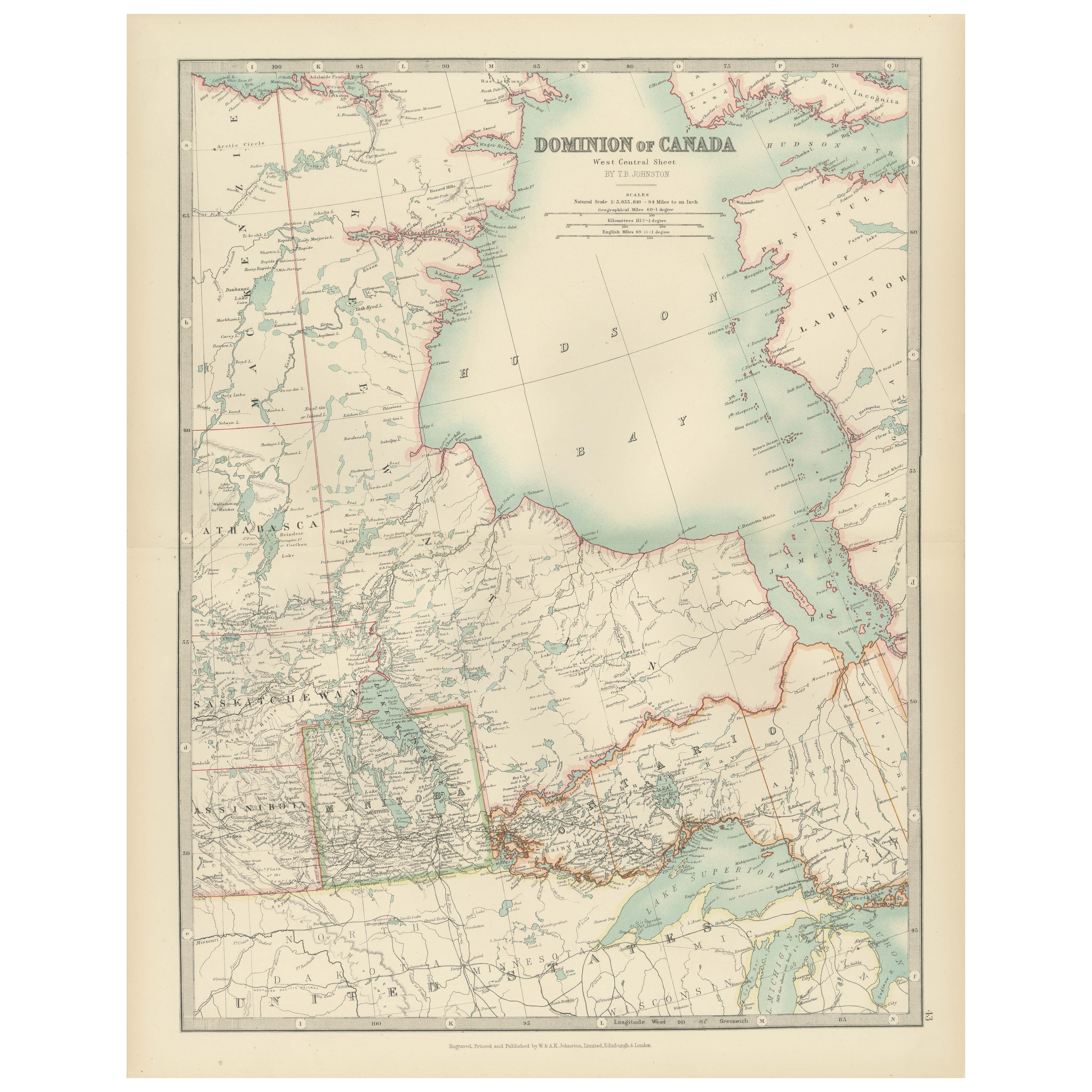
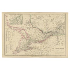
Canada Map 1903 - Dominion of Canada, West Central Sheet
Located in Langweer, NL
Title: Canada Map 1903 - Dominion of Canada, West Central Sheet
Description:
This fascinating 1903 map of the Dominion of Canada’s West Central regions by T.R. Johnston offers a viv...
Category
Early 20th Century Maps
Materials
Paper
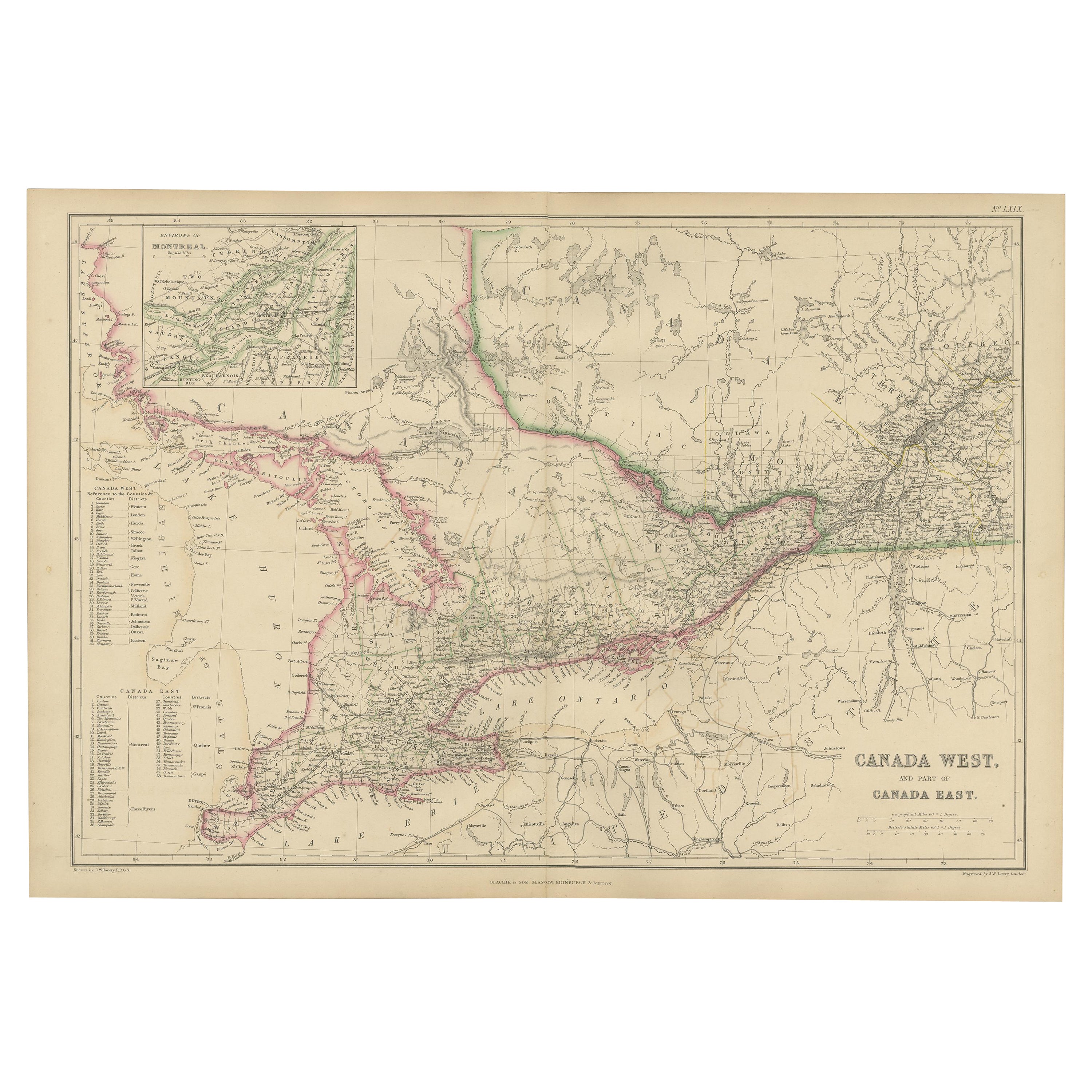
Antique Map of Canada West and Part of Canada East by W. G. Blackie, 1859
Located in Langweer, NL
Antique map titled 'Canada West and Part of Canada East'. Original antique map of Canada West and Part of Canada East with inset map of Montreal. This ...
Category
Antique Mid-19th Century Maps
Materials
Paper
$239 Sale Price
20% Off
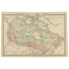
Canada Antique Railroad Map c.1888 – British America, Cities & Regions
Located in Langweer, NL
Antique Map of Canada – Rand McNally’s British America, circa 1888
This antique map titled “Rand, McNally & Co.’s British America” was published around 1888 and depicts the full ext...
Category
Antique Late 19th Century American Maps
Materials
Paper
You May Also Like
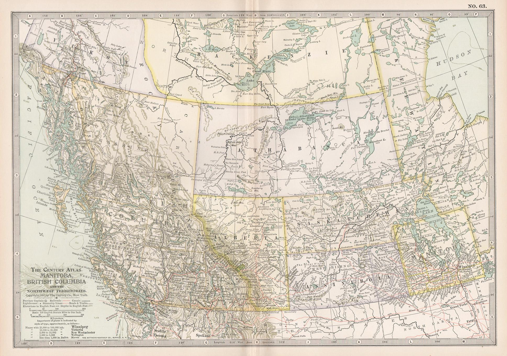
Manitoba, British Columbia and NW Territories, Canada. Century Atlas antique map
Located in Melbourne, Victoria
'The Century Atlas. Manitoba, British Columbia and the Northwest Territories, Canada, North America.'
Original antique map, 1903.
Central fold as issued. Map name and number printe...
Category
Early 20th Century Victorian More Prints
Materials
Lithograph

Canada and Newfoundland. Century Atlas antique vintage map
Located in Melbourne, Victoria
'The Century Atlas. Dominion of Canada and Newfoundland.'
Original antique map, 1903.
Central fold as issued. Map name and number printed on the reverse corners.
Sheet 29.5cm by 40...
Category
Early 20th Century Victorian More Prints
Materials
Lithograph

North America. Century Atlas antique vintage map
Located in Melbourne, Victoria
'The Century Atlas. North America'
Original antique map, 1903.
Central fold as issued. Map name and number printed on the reverse corners.
Sheet 40cm by 29.5cm.
Category
Early 20th Century Victorian More Prints
Materials
Lithograph

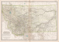
Montana. USA. Century Atlas state antique vintage map
Located in Melbourne, Victoria
'The Century Atlas. Montana'
Original antique map, 1903.
Central fold as issued. Map name and number printed on the reverse corners.
Sheet 29.5cm by 40cm.
Category
Early 20th Century Victorian More Prints
Materials
Lithograph
Large Original Vintage Map of North America, circa 1920
Located in St Annes, Lancashire
Great map of North America
Original color. Good condition
Published by Alexander Gross
Unframed.
Category
Vintage 1920s English Edwardian Maps
Materials
Paper

Original Antique Map of the American State of Idaho & Wyoming, 1903
Located in St Annes, Lancashire
Antique map of Idaho and Wyoming
Published By A & C Black. 1903
Original colour
Good condition
Unframed.
Free shipping
Category
Antique Early 1900s English Maps
Materials
Paper

More Ways To Browse
Pacific Northwest Furniture
Painted Bar Stools
3x5 Rugs
Tufted Bar
Green Oushak
Pelle Pelle Leather
Antique Marble Top Hall Table
Bent Plywood
Antique Column Base
Bureau Desk
Low Black Coffee Table
Porcelain Modern Hand Painted
Dining Tables With Brass Inlay
Louis Marble Top Side Table
Palace Size Carpet
Armchair In France
Blue Kilim Vintage
Contemporary Side Tables And Stools