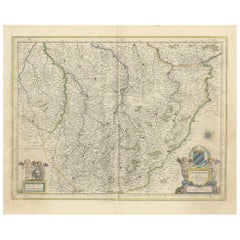
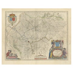
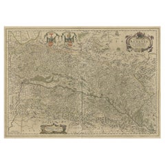
Champagne: The Sparkling Heart of France - A Blaeu Cartographic Engraving, c1650
View Similar Items

Want more images or videos?
Request additional images or videos from the seller
1 of 8
Champagne: The Sparkling Heart of France - A Blaeu Cartographic Engraving, c1650
About the Item
- Dimensions:Height: 20.08 in (51 cm)Width: 23.82 in (60.5 cm)Depth: 0 in (0.02 mm)
- Materials and Techniques:Paper,Engraved
- Period:1650-1659
- Date of Manufacture:circa 1650
- Condition:Condition: Good, given age, general age-related soiling and toning. Folding line as issued. French text on the reverse. Please study scan carefully.
- Seller Location:Langweer, NL
- Reference Number:Seller: BG-13706-21stDibs: LU3054338140342
About the Seller
5.0
Recognized Seller
These prestigious sellers are industry leaders and represent the highest echelon for item quality and design.
Gold Seller
Premium sellers maintaining a 4.3+ rating and 24-hour response times
Established in 2009
1stDibs seller since 2017
2,467 sales on 1stDibs
Typical response time: 1 hour
Authenticity Guarantee
In the unlikely event there’s an issue with an item’s authenticity, contact us within 1 year for a full refund. DetailsMoney-Back Guarantee
If your item is not as described, is damaged in transit, or does not arrive, contact us within 7 days for a full refund. Details24-Hour Cancellation
You have a 24-hour grace period in which to reconsider your purchase, with no questions asked.Vetted Professional Sellers
Our world-class sellers must adhere to strict standards for service and quality, maintaining the integrity of our listings.Price-Match Guarantee
If you find that a seller listed the same item for a lower price elsewhere, we’ll match it.Trusted Global Delivery
Our best-in-class carrier network provides specialized shipping options worldwide, including custom delivery.More From This Seller
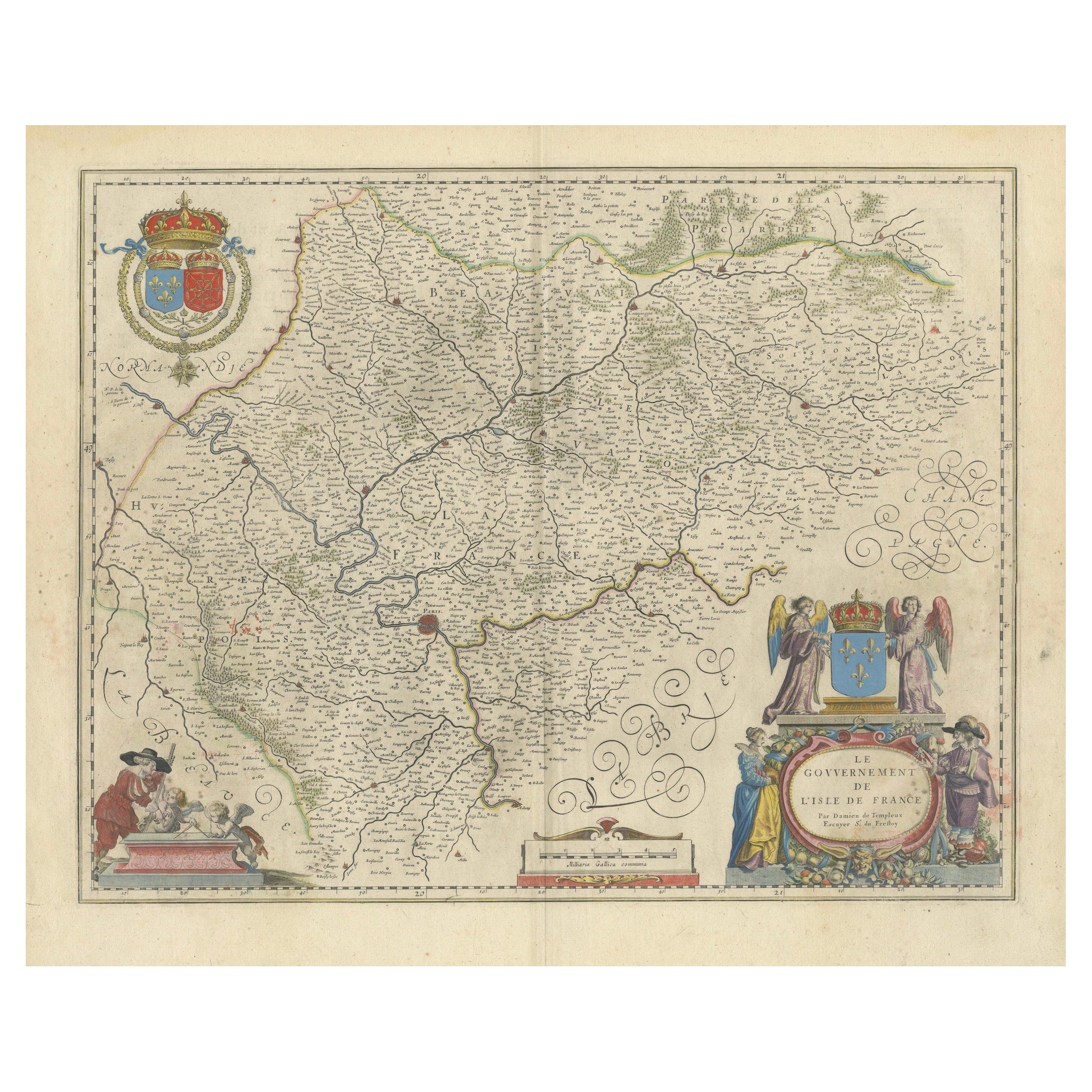
View AllMapping the Heart of France: Willem Blaeu's 17th Century Île-de-France, ca.1650
Located in Langweer, NL
This original antique map titled "Le Gouvernement de l'Isle de France" represents the Île-de-France region, which historically was one of the provinces of France and contained the ci...
Category
Antique 1650s Maps
Materials
Paper
$353 Sale Price
20% Off
Free Shipping
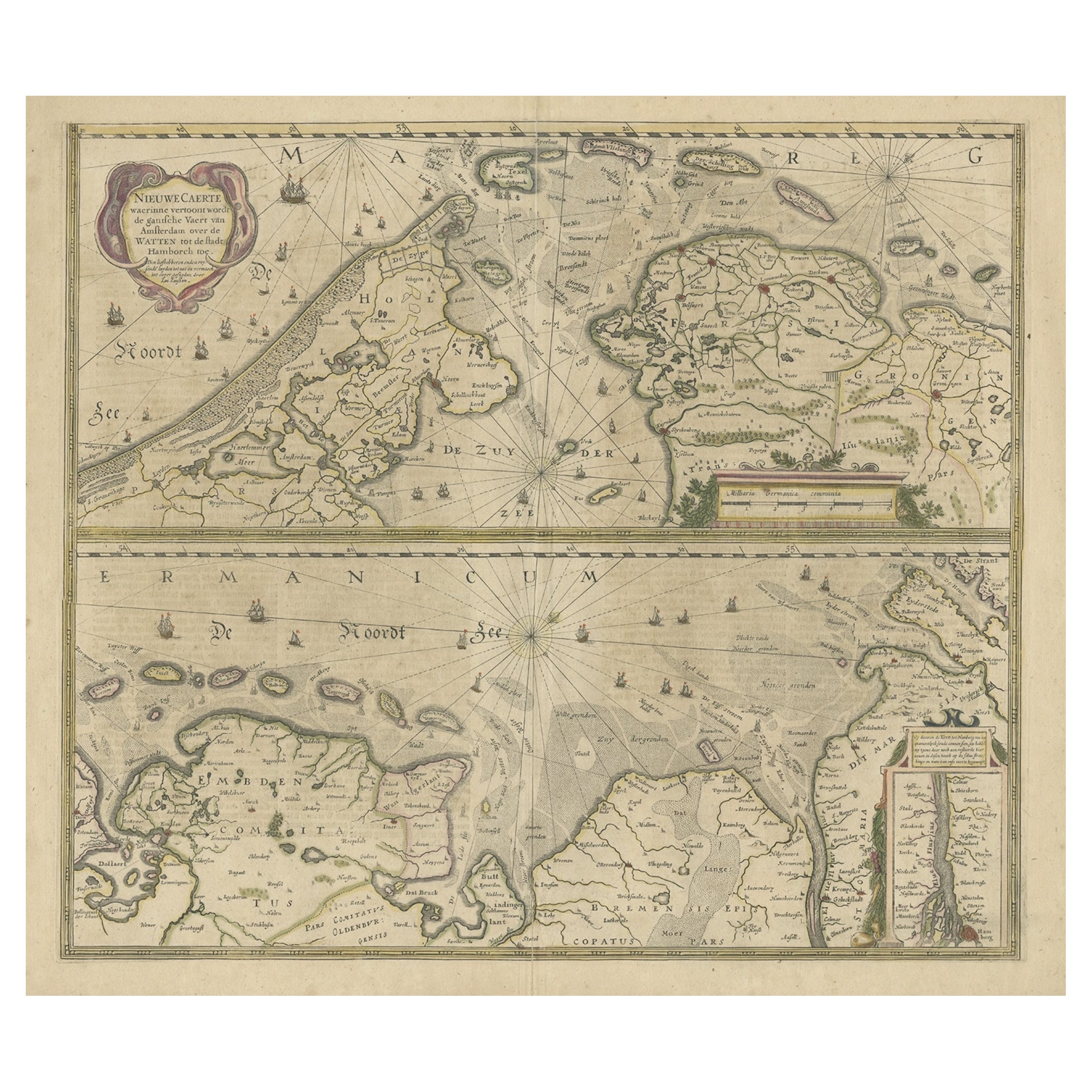
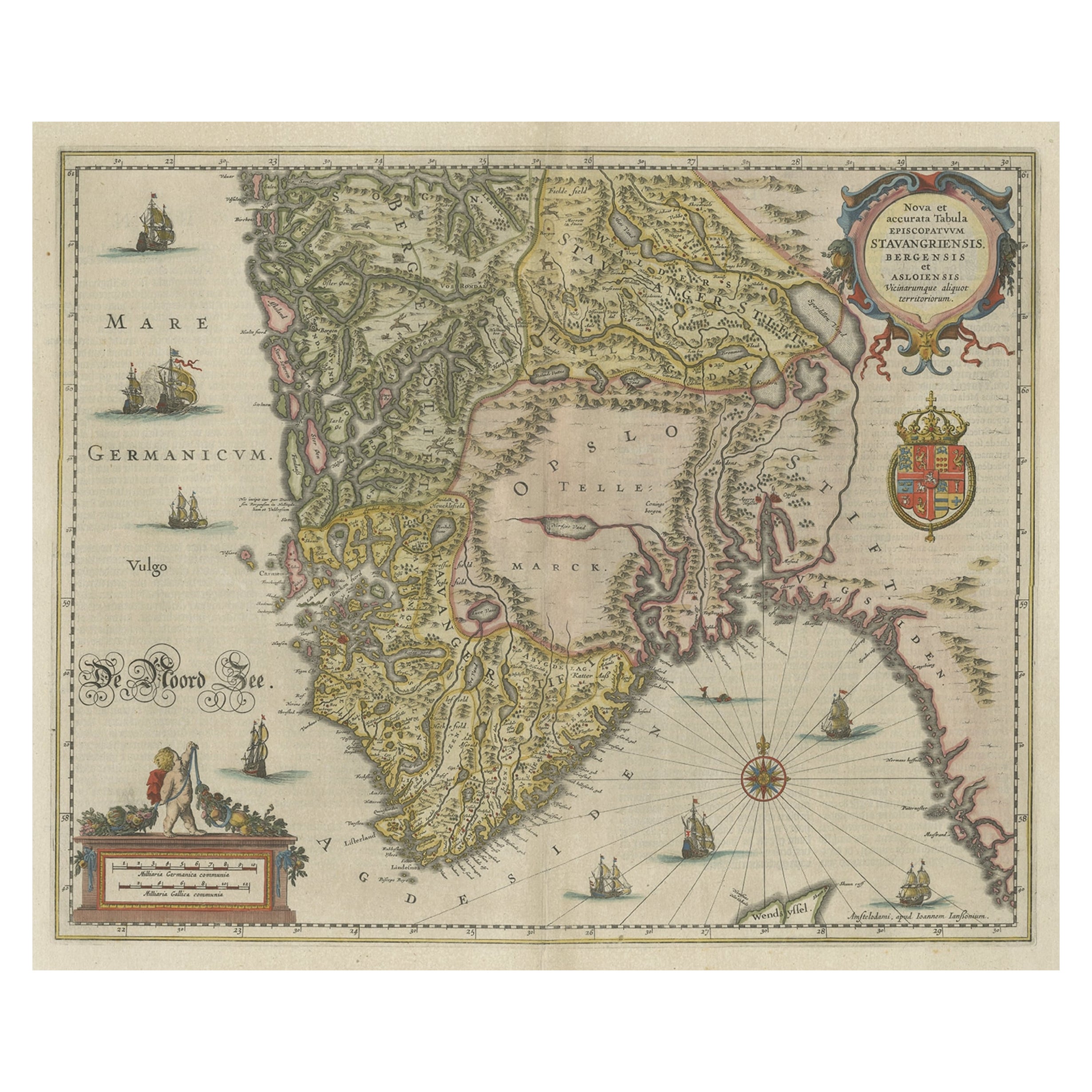
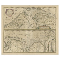
Two Original Antique Engravings with the Dutch and German North Sea Coast, c1650
Located in Langweer, NL
Antique map titled 'Nieuwe Caerte waerinne vertoont wordt de gantsche Vaert van Amsterdam over de Watten tot de stadt Hamborch toe'.
Two maps with the Dutch and German North Sea ...
Category
Antique 1650s Maps
Materials
Paper
$549 Sale Price
20% Off
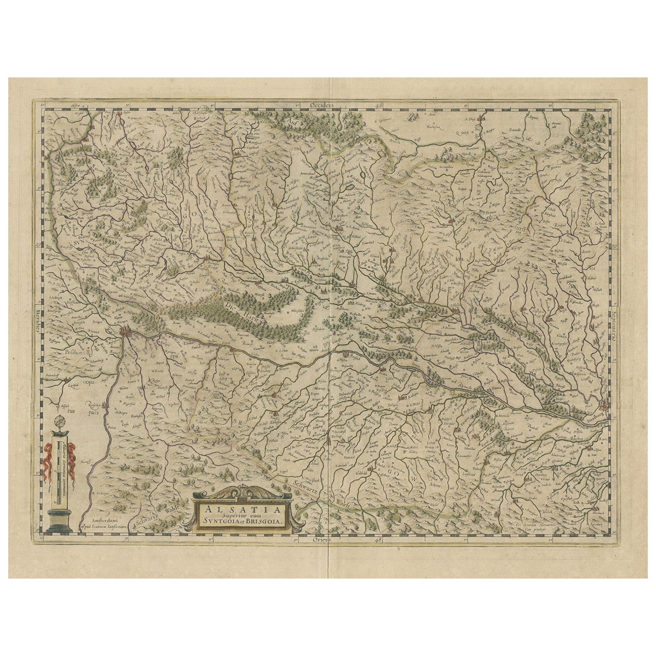
Old Map of the Alsace 'Elzas' Region with Lotharingen 'Lorraine', France, c1650
Located in Langweer, NL
Antique map titled 'Alsatia superior cum Suntgoia et Brisgoia'.
Old map of the Alsace (or Elzas) region with Lotharingen (Lorraine), Strassburg, Freiburg, Basel etc. Source unkno...
Category
Antique 1650s Maps
Materials
Paper
$409 Sale Price
20% Off
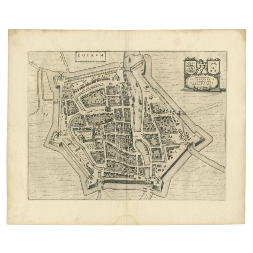
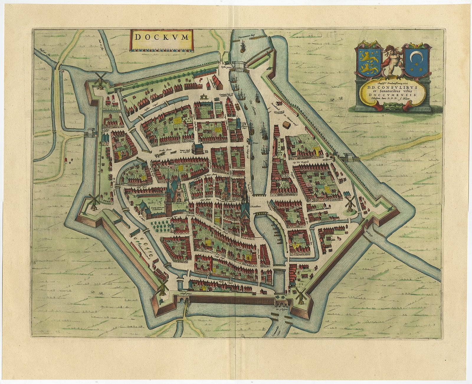
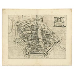
Antique Map of the City of Dokkum by Blaeu, c.1650
Located in Langweer, NL
Antique map titled 'Dockum'. Large map of the city of Dokkum, Friesland, The Netherlands. Originates from 'Toneel der Steden', published by Joan Blaeu, Amsterdam. Artists and Engrave...
Category
Antique 17th Century Maps
Materials
Paper
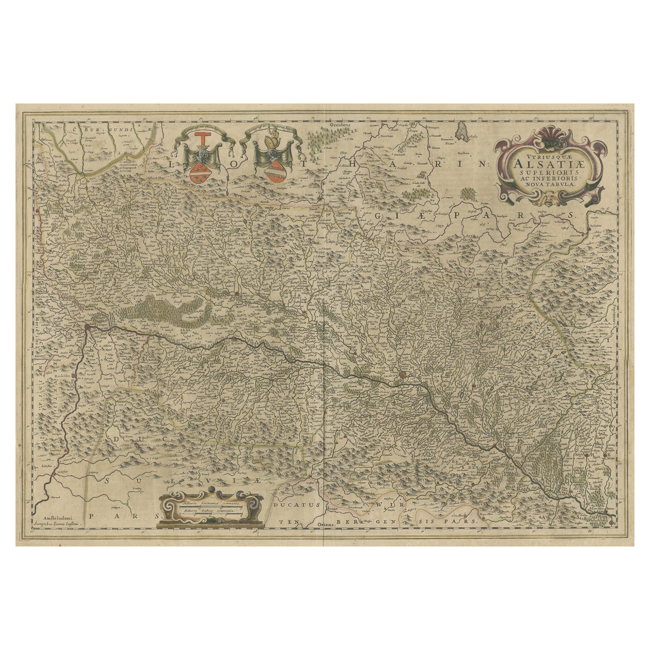
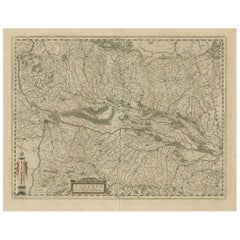
Map of the Alsace, France Incl the Rhine from Phillipsburg to South Basle, c1650
Located in Langweer, NL
Antique map titled 'Utriusquae Alsatiae Superioris Ac Inferioris Nova Tabula'.
Map of the Alsace region (France) including the Rhine from Phillipsburg to south of Basle. Two deco...
Category
Antique 1650s Maps
Materials
Paper
$334 Sale Price
20% Off
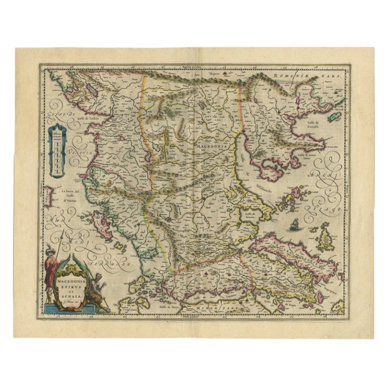
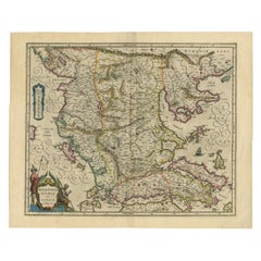
Antique Map of Macedonia by the Famous Mapmaker Blaeu, c.1650
Located in Langweer, NL
Antique map titled 'Macedonia, Epirus et Achaia'.
Ornated with a nice allegoric cartouche, one ship and a milage scale. Macedonia is shown in the centre of the map. With many detai...
Category
Antique 17th Century Maps
Materials
Paper
$1,070 Sale Price
20% Off
You May Also Like
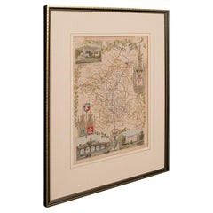
Antique Lithography Map, Northumberland, English, Framed, Engraving, Cartography
Located in Hele, Devon, GB
This is an antique lithography map of Northumberland. An English, framed atlas engraving of cartographic interest, dating to the mid 19th century a...
Category
Antique Mid-19th Century British Victorian Maps
Materials
Wood

Antique Lithography Map, Worcestershire, English, Framed Engraving, Cartography
Located in Hele, Devon, GB
This is an antique lithography map of Worcestershire. An English, framed atlas engraving of cartographic interest, dating to the early 19th centur...
Category
Antique Early 19th Century British Regency Maps
Materials
Wood
Antique Lithography Map, Bedfordshire, English, Framed Engraving, Cartography
Located in Hele, Devon, GB
This is an antique lithography map of Bedfordshire. An English, framed atlas engraving of cartographic interest, dating to the mid 19th century and...
Category
Antique Mid-19th Century British Victorian Maps
Materials
Wood

Antique Lithography Map, Hertfordshire, English, Framed Engraving, Cartography
Located in Hele, Devon, GB
This is an antique lithography map of Hertfordshire. An English, framed atlas engraving of cartographic interest, dating to the mid 19th century an...
Category
Antique Mid-19th Century British Victorian Maps
Materials
Wood

Antique Lithography Map, Gloucestershire, English, Framed Engraving, Cartography
Located in Hele, Devon, GB
This is an antique lithography map of Gloucestershire. An English, framed atlas engraving of cartographic interest, dating to the mid 19th century ...
Category
Antique Mid-19th Century British Victorian Maps
Materials
Wood

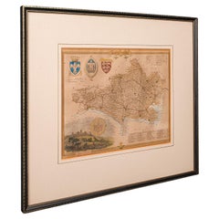
Antique County Map, Dorset, English, Framed Engraving, Cartography, Lithography
Located in Hele, Devon, GB
This is an antique lithography map of Dorset. An English, framed atlas engraving of cartographic interest, dating to the mid 19th century and later.
Superb lithography of Dorsetshi...
Category
Antique Mid-19th Century British Victorian Maps
Materials
Glass, Wood, Paper
Recently Viewed
View AllMore Ways To Browse
6 Cherry Wood Chairs
747 Model
771 Table
84 Trestle Table
905 Chair
A Fabiano
A K France Porcelain
Aarhus City Hall
Abalone Shell Top Table
Aboriginal Bark Painting
Adjustable Table E1027
Adrian Pearsall Cloud Sofa
African Gourd
Airplane Sculpture Art Deco
Albers Interaction Of Color
Aldo Jacober Folding Chairs
Alligator Leather Chair
Alvar Aalto Fan Leg