Items Similar to Decorative Antique Map of France in Departments – Collectible Print, 1884


Video Loading
Want more images or videos?
Request additional images or videos from the seller
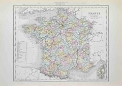
1 of 11
Decorative Antique Map of France in Departments – Collectible Print, 1884
$428.57
£318.55
€360
CA$591.74
A$656.20
CHF 344.78
MX$8,017.63
NOK 4,313.71
SEK 4,049.16
DKK 2,741.22
About the Item
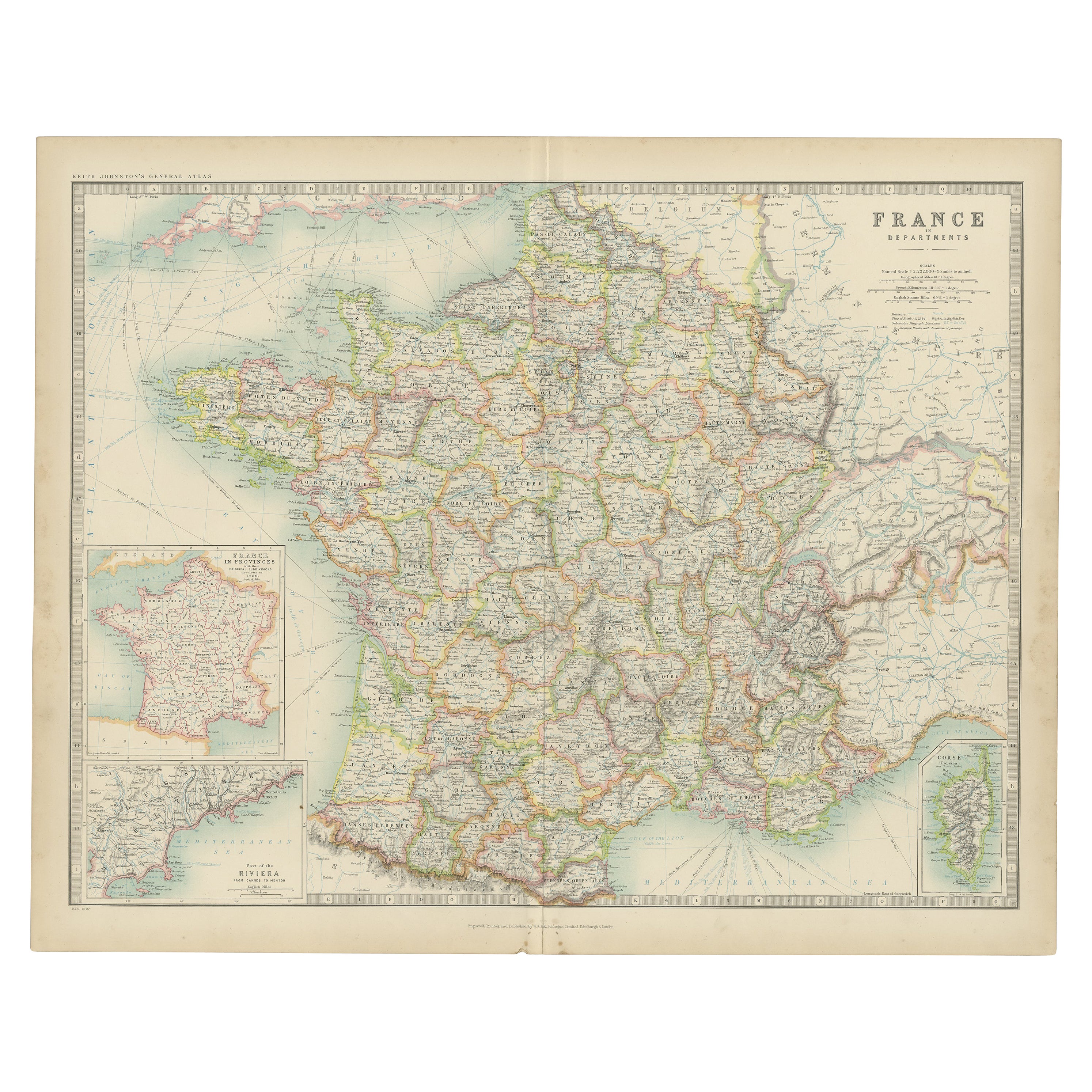
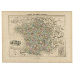
Antique Map of France in Departments – Black’s Atlas, 1884
This finely engraved and hand-colored map of France was published in the New and Revised Edition of Black’s General Atlas of the World, Edinburgh, 1884. It shows France divided into its administrative departments, each highlighted with a separate wash of color, and is a superb example of Victorian cartographic precision.
The map details the entirety of mainland France, from the English Channel and Normandy in the north to the Mediterranean and Provence in the south. The Pyrenees and the frontier with Spain are clearly defined, as are the borders with Belgium, Germany, Switzerland, and Italy. Major cities including Paris, Lyon, Bordeaux, Marseille, and Lille are all clearly marked, alongside an extensive network of towns, roads, and railways, reflecting the modern infrastructure of late 19th-century France.
Insets include a smaller overview map of France showing political boundaries and surrounding territories, and a separate map of Corsica, with its towns, rivers, and coastal features finely engraved. Together, these provide both a broad and detailed perspective of France at the time.
This map is a historically valuable representation of France during the early Third Republic, following the Franco-Prussian War and before the dramatic political shifts of the 20th century. The clarity of the engraving and the delicate pastel coloring make it highly attractive for collectors and equally suitable for display.
Condition report:
Good condition. Original hand coloring remains bright. Center fold as issued. Light marginal toning and a faint age patina, consistent with atlas maps of the period. Small tear in left border, fold line, touching the image.
Framing tips:
This map is well suited to a wide archival mat in ivory or pale cream to highlight the soft coloring of the departments. A walnut or dark oak frame provides a traditional look, while a gilt frame emphasizes its Victorian character. UV-protective glass is recommended to safeguard the delicate coloring.
Technique: Engraving with original hand coloring
Maker: Black’s General Atlas, Edinburgh, 1884
- Dimensions:Height: 24.1 in (61.2 cm)Width: 17.84 in (45.3 cm)Depth: 0.01 in (0.2 mm)
- Materials and Techniques:
- Place of Origin:
- Period:
- Date of Manufacture:1884
- Condition:Good condition. Original hand coloring remains bright. Center fold as issued. Light marginal toning and a faint age patina, consistent with atlas maps of the period. Small tear in left border, fold line, touching the image.
- Seller Location:Langweer, NL
- Reference Number:Seller: BG-13601-3-91stDibs: LU3054346514752
About the Seller
5.0
Recognized Seller
These prestigious sellers are industry leaders and represent the highest echelon for item quality and design.
Platinum Seller
Premium sellers with a 4.7+ rating and 24-hour response times
Established in 2009
1stDibs seller since 2017
2,609 sales on 1stDibs
Typical response time: <1 hour
- ShippingRetrieving quote...Shipping from: Langweer, Netherlands
- Return Policy
Authenticity Guarantee
In the unlikely event there’s an issue with an item’s authenticity, contact us within 1 year for a full refund. DetailsMoney-Back Guarantee
If your item is not as described, is damaged in transit, or does not arrive, contact us within 7 days for a full refund. Details24-Hour Cancellation
You have a 24-hour grace period in which to reconsider your purchase, with no questions asked.Vetted Professional Sellers
Our world-class sellers must adhere to strict standards for service and quality, maintaining the integrity of our listings.Price-Match Guarantee
If you find that a seller listed the same item for a lower price elsewhere, we’ll match it.Trusted Global Delivery
Our best-in-class carrier network provides specialized shipping options worldwide, including custom delivery.More From This Seller
View AllAntique Map of France by A & C. Black, 1870
Located in Langweer, NL
Antique map titled 'France'. Original antique map of France with inset map of France as divided into provinces, before the revolution of 1789 and map of Corsica...
Category
Antique Late 19th Century Maps
Materials
Paper

$261 Sale Price
20% Off
Antique Map of France, 1903, with Inset of Paris and Corsica
Located in Langweer, NL
Title: Antique Map of France, 1903, with Inset of Paris and Corsica
Description:
This antique map, titled "France," was engraved and published in 1903 by the renowned W. & A.K. John...
Category
Early 20th Century Maps
Materials
Paper

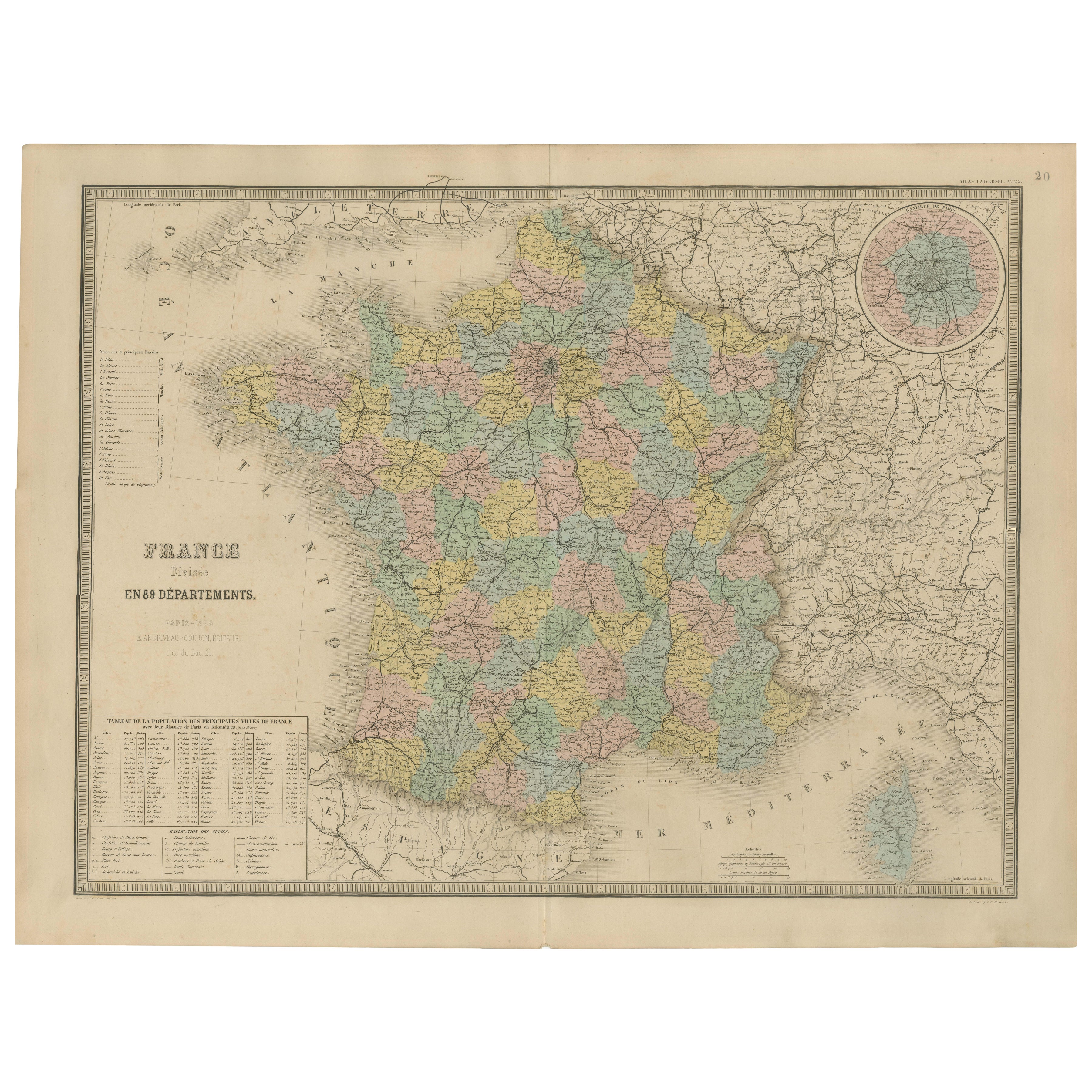
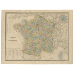
Antique Map of France – Divided into 89 Departments by Andriveau-Goujon, 1861
Located in Langweer, NL
Antique Map of France – Divided into 89 Departments by Andriveau-Goujon, 1861
This finely engraved and beautifully hand-colored map titled “France divisée en 89 Départements” was pu...
Category
Antique Mid-19th Century French Maps
Materials
Paper
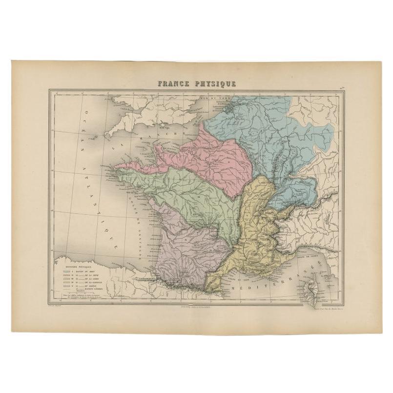
Antique Map of France by Migeon, 1880
Located in Langweer, NL
Antique map titled 'France Physique'. Old map of France. This map originates from 'Géographie Universelle Atlas-Migeon' by J. Migeon.
Artists and Engravers: Published by J. Migeon...
Category
Antique 19th Century Maps
Materials
Paper

$123 Sale Price
20% Off
Antique Map of France by Johnston (1909)
Located in Langweer, NL
Antique map titled 'France'. Original antique map of France. With inset maps of France in provinces, part of the Riviera and Corsica. This map or...
Category
Early 20th Century Maps
Materials
Paper

$238 Sale Price
20% Off
Antique Map of the Departments of France by Migeon, 1880
By J. Migeon
Located in Langweer, NL
Antique map titled 'France par Départements'. Old map of France with a decorative vignette of Strasbourg and an inset map of Corsica. This map originate...
Category
Antique 19th Century Maps
Materials
Paper
$114 Sale Price
20% Off
You May Also Like
France, Northern Part. Century Atlas antique map
Located in Melbourne, Victoria
'The Century Atlas. France, Northern Part.'
Original antique map, 1903.
Inset maps of 'France in Provinces' and 'Paris and Vicinity'.
Central fold as issued. Map name and number pr...
Category
Early 20th Century Victorian More Prints
Materials
Lithograph

France in Departments - Lithograph - 1872
Located in Roma, IT
France in Departments is a map realized by an artist of the 19th century.
Lithograph, printed in 1872 by Milliam Mackenzie, London.
Category
1870s Modern Figurative Prints
Materials
Lithograph
France in Departments - Lithograph - 1872
Located in Roma, IT
France in Departments is an artwork realized by an artist of the 19th century.
Lithograph, printed in 1872 by Milliam Mackenzie, London.
Good condition.
Category
1870s Modern Figurative Prints
Materials
Lithograph

Large 19th Century Map of France
Located in Pease pottage, West Sussex
Large 19th Century Map of France.
Remarkable condition, with a pleasing age worn patina.
Recently framed.
France Circa 1874.
Category
Antique Late 19th Century French Maps
Materials
Linen, Paper

Map of France - Etching - 1820
Located in Roma, IT
Map of France is an Original Etching realized by an unknown artist of 19th century in 1820.
Very good condition on two sheets of white paper joined at t...
Category
1820s Modern Figurative Prints
Materials
Etching

Antique Map of France
Located in Dallas, TX
Nice antique map of France in wood frame. This would make a great gift for a collector. A wonderful accessory!
Category
Early 20th Century Decorative Art
Materials
Glass, Wood, Paper

$1,760