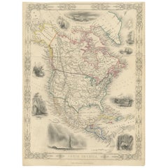
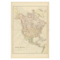
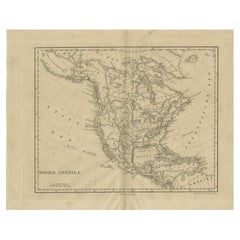
Decorative Antique Map of North America, circa 1860
View Similar Items


Want more images or videos?
Request additional images or videos from the seller
1 of 7
Decorative Antique Map of North America, circa 1860
About the Item
- Creator:George Virtue (Artist)
- Dimensions:Height: 13.19 in (33.5 cm)Width: 9.97 in (25.3 cm)Depth: 0.02 in (0.5 mm)
- Materials and Techniques:
- Place of Origin:
- Period:
- Date of Manufacture:circa 1860
- Condition:Wear consistent with age and use. Minor structural damages. General age-related toning and some creasing. Please study images carefully.
- Seller Location:Langweer, NL
- Reference Number:Seller: BG-118441stDibs: LU3054315738912
About the Seller
5.0
Platinum Seller
These expertly vetted sellers are 1stDibs' most experienced sellers and are rated highest by our customers.
Established in 2009
1stDibs seller since 2017
1,932 sales on 1stDibs
More From This SellerView All
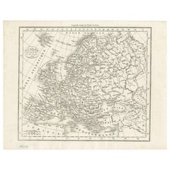
- Antique Map of North America by Dufour 'circa 1834'Located in Langweer, NLAntique map titled 'Amérique Septentrionale'. Uncommon map of North America. Published by or after A.H. Dufour, circa 1834. Source unknown, to be determined.Category
Antique Mid-19th Century Maps
MaterialsPaper
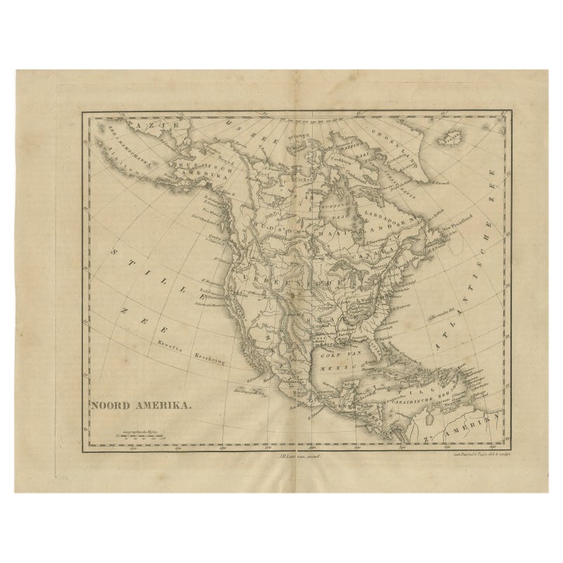
- Antique Map of North America by Laarman, c.1860Located in Langweer, NLAntique map titled 'Noord Amerika'. Original antique map of North America. Published circa 1860. Artists and Engravers: Published by J.H. Laarman. Artist: Published by J.H. Laarman....Category
Antique 19th Century Maps
MaterialsPaper
- Antique Map of South America by Wyld, circa 1850By J. WyldLocated in Langweer, NLBeautiful folding map of South America titled 'Colombia Prima or South America Drawn from the Large Map in Eight Sheets by Louis Stanislas D ' Arcy Delarochette'. Three insets in the...Category
Antique Mid-19th Century British Maps
MaterialsPaper
- Antique Decorative Coloured Map of North America, 1882Located in Langweer, NLThis original antique map of North America is from the Blackie & Son Atlas published in 1882. Here are several points of interest about this map: 1. **Political Borders**: The map l...Category
Antique 1880s Maps
MaterialsPaper
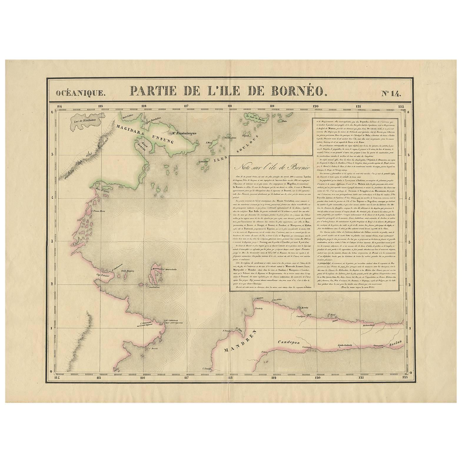
- Antique Map of North East Borneo and North Sulawesi by P.M.G. VandermaelenLocated in Langweer, NLContemporary colored lithographed map. Relief shown pictorially and by hachures. Covers North Eastern Borneo and part of Northern Sulawesi.Category
Antique Early 19th Century Maps
MaterialsPaper
 $329 Sale Price39% Off
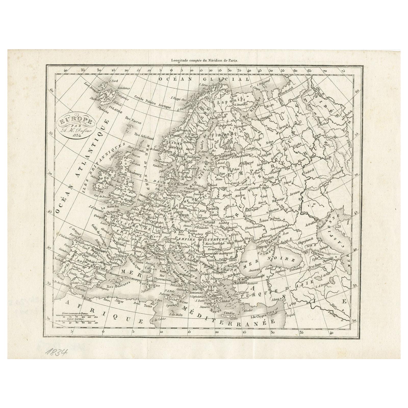
 - Nice Decorative Black and White Small Antique Map of Europe, 'circa 1834'Located in Langweer, NLAntique French map titled 'Europe par A.H. Dufour'. Uncommon map of Europe. Published by or after A.H. Dufour, circa 1834. Source unknown, to be d...Category
Antique Mid-19th Century Maps
MaterialsPaper
 $175 Sale Price20% Off


You May Also Like
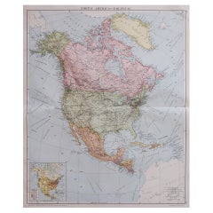
- Large Original Vintage Map of North America, circa 1920Located in St Annes, LancashireGreat map of North America Original color. Good condition Published by Alexander Gross Unframed.Category
Vintage 1920s English Edwardian Maps
MaterialsPaper
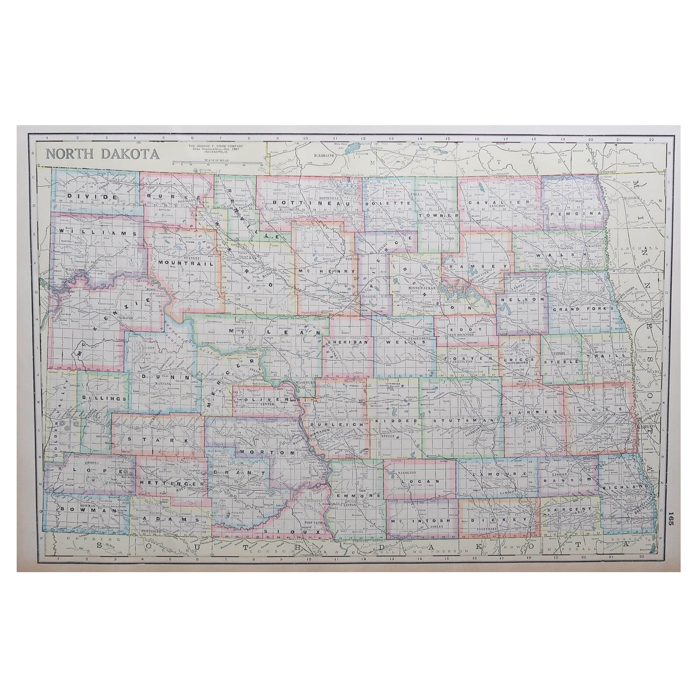
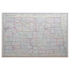
- Large Original Antique Map of North Dakota, USA, circa 1900Located in St Annes, LancashireFabulous map of North Dakota Original color Engraved and printed by the George F. Cram Company, Indianapolis. Published, circa 1900 Unframed Free shi...Category
Antique 1890s American Maps
MaterialsPaper
- Original Antique Decorative Map of South America-West Coast, Fullarton, C.1870Located in St Annes, LancashireGreat map of Chili, Peru and part of Bolivia Wonderful figural border From the celebrated Royal Illustrated Atlas Lithograph. Original color. Published by Fullarton, Edi...Category
Antique 1870s Scottish Maps
MaterialsPaper
- Original Antique Map of The United States of America, circa 1890Located in St Annes, LancashireGreat map of the USA By The Stanford's Geographical Establishment Original colour Unframed.Category
Antique 1890s English Victorian Maps
MaterialsPaper
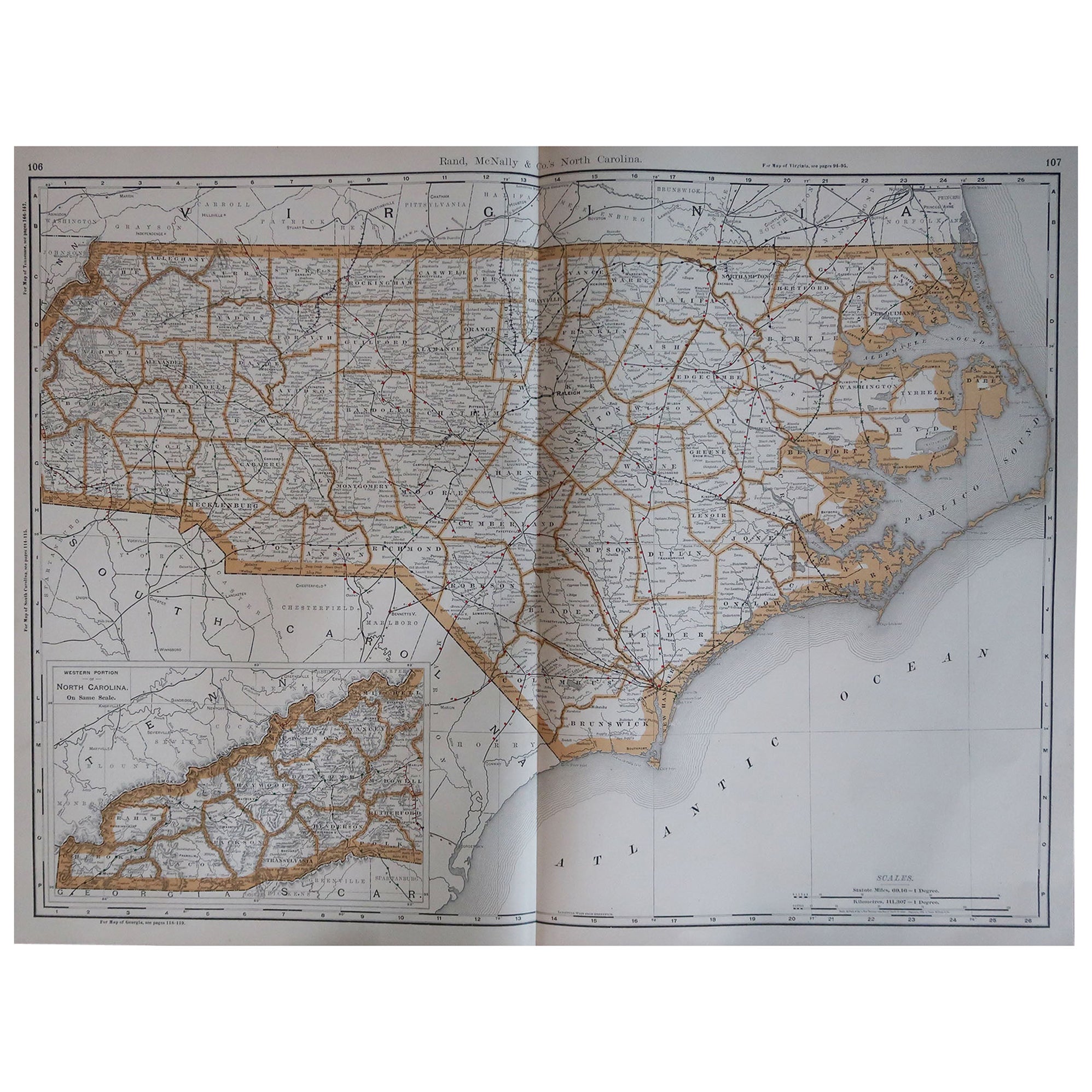
- Large Original Antique Map of North Carolina, USA, 1894By Rand McNally & Co.Located in St Annes, LancashireFabulous map of North Carolina Original color By Rand, McNally & Co. Published, 1894 Unframed Free shipping.Category
Antique 1890s American Maps
MaterialsPaper
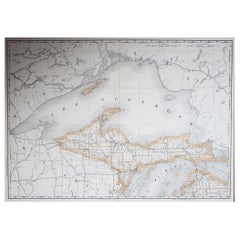
- Large Original Antique Map of Michigan 'North', USA, 1894By Rand McNally & Co.Located in St Annes, LancashireFabulous map of Michigan North. Original color. By Rand, McNally & Co. Published, 1894. Unframed. Free shipping.Category
Antique 1890s American Maps
MaterialsPaper


Recently Viewed
View AllMore Ways To Browse
North American Indian
Antique Map America
Antique American Maps
Antique American Map
America Antique Map
Antique Map Of America
Antique Maps Of America
Hunting Collectibles
George Map
Map North America
Map Of North America
Antique Collectible Bears
Ancient Maps
Ancient Map
Antique Hunting Collectibles
Used Furniture In Columbus
Mexican Map
Mexico Map