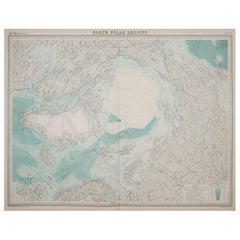
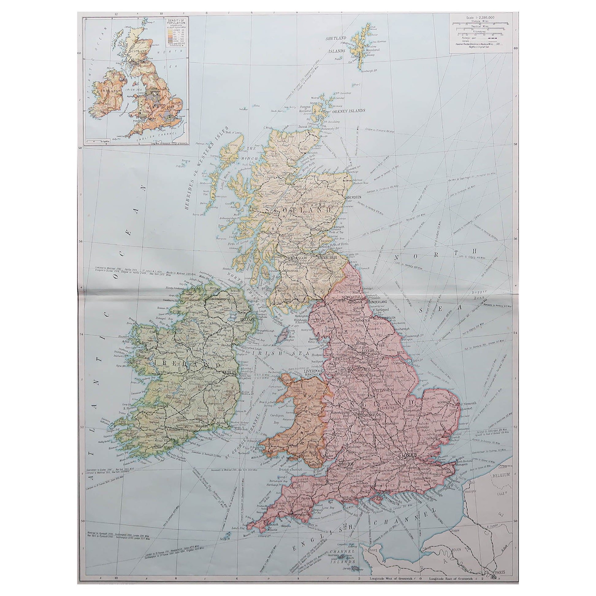
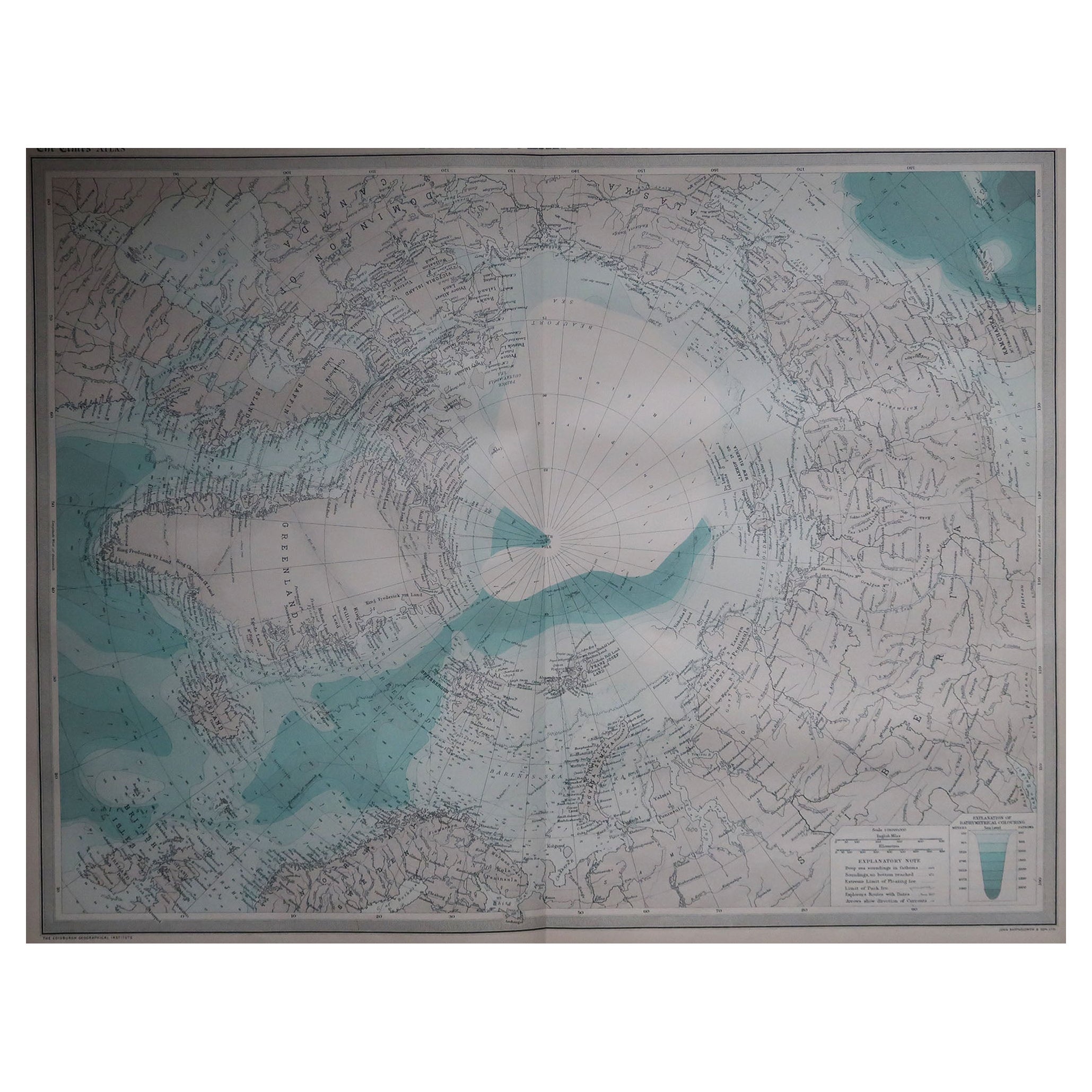
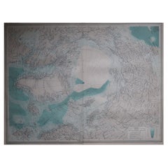
Large Original Vintage Map of The North Pole, circa 1920
View Similar Items

Want more images or videos?
Request additional images or videos from the seller
1 of 5
Large Original Vintage Map of The North Pole, circa 1920
About the Item
- Dimensions:Height: 18 in (45.72 cm)Width: 23 in (58.42 cm)Depth: 0.07 in (1.78 mm)
- Materials and Techniques:Paper,Other
- Place of Origin:
- Period:
- Date of Manufacture:1920
- Condition:Wear consistent with age and use.
- Seller Location:St Annes, GB
- Reference Number:1stDibs: LU1836323807062
About the Seller
4.9
Platinum Seller
These expertly vetted sellers are 1stDibs' most experienced sellers and are rated highest by our customers.
1stDibs seller since 2016
2,539 sales on 1stDibs
Associations
International Confederation of Art and Antique Dealers' Associations
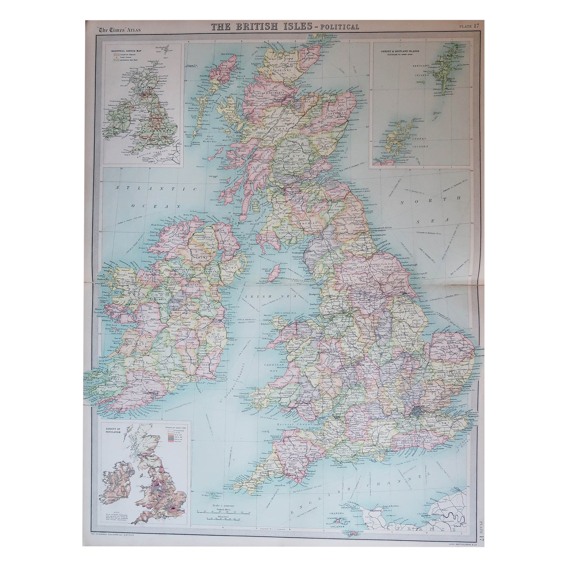
More From This SellerView All
- Large Original Vintage Map of The North Pole, circa 1920Located in St Annes, LancashireGreat maps of The North Pole. Unframed. Original color. By John Bartholomew and Co. Edinburgh Geographical Institute. Published, circa 1920. Free shipp...Category
Vintage 1920s British Maps
MaterialsPaper
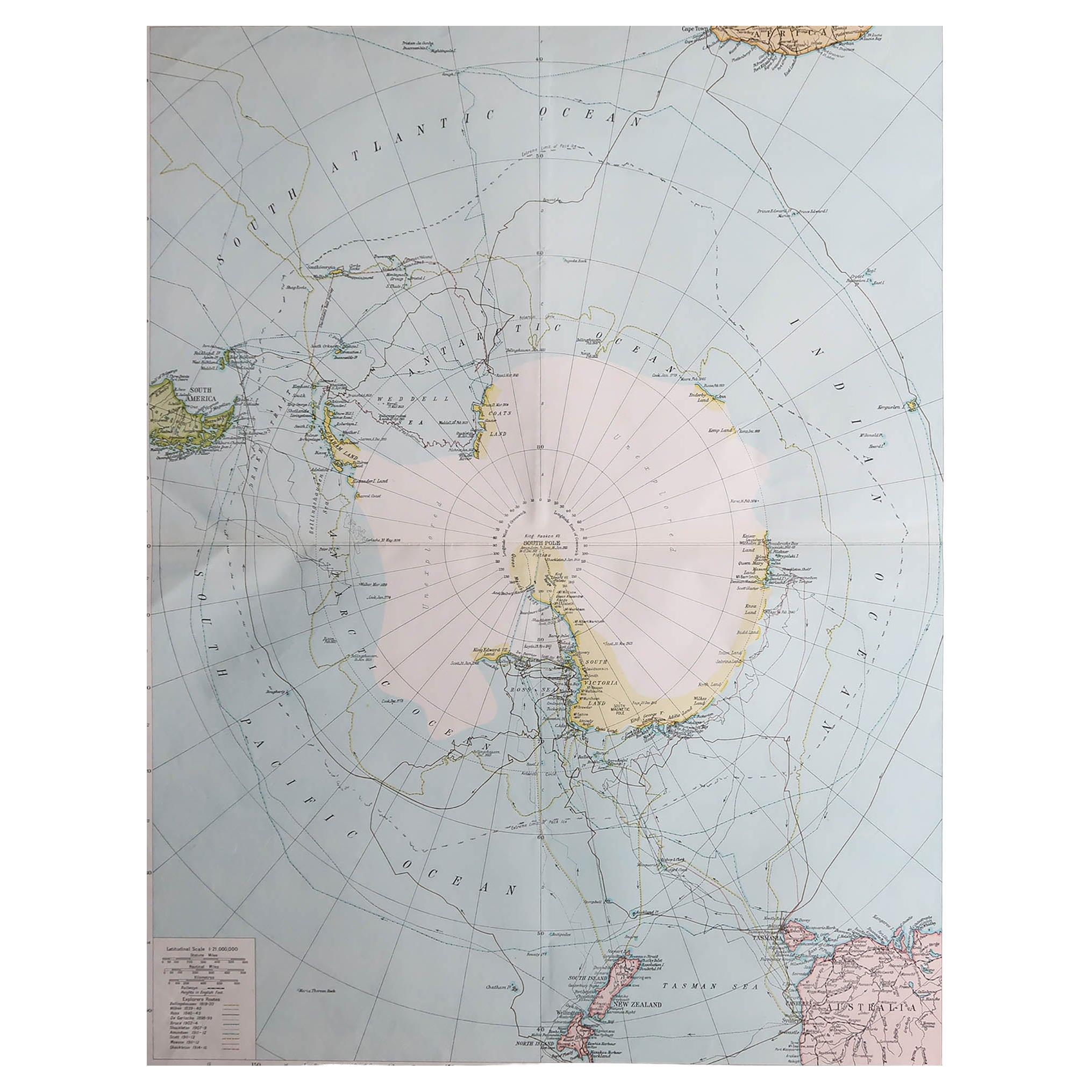
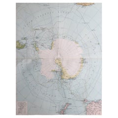
- Large Original Vintage Map of The South Pole, circa 1920Located in St Annes, LancashireGreat map of The South Pole Original color. Published by Alexander Gross Unframed. Repairs to minor edge tearsCategory
Vintage 1920s English Maps
MaterialsPaper
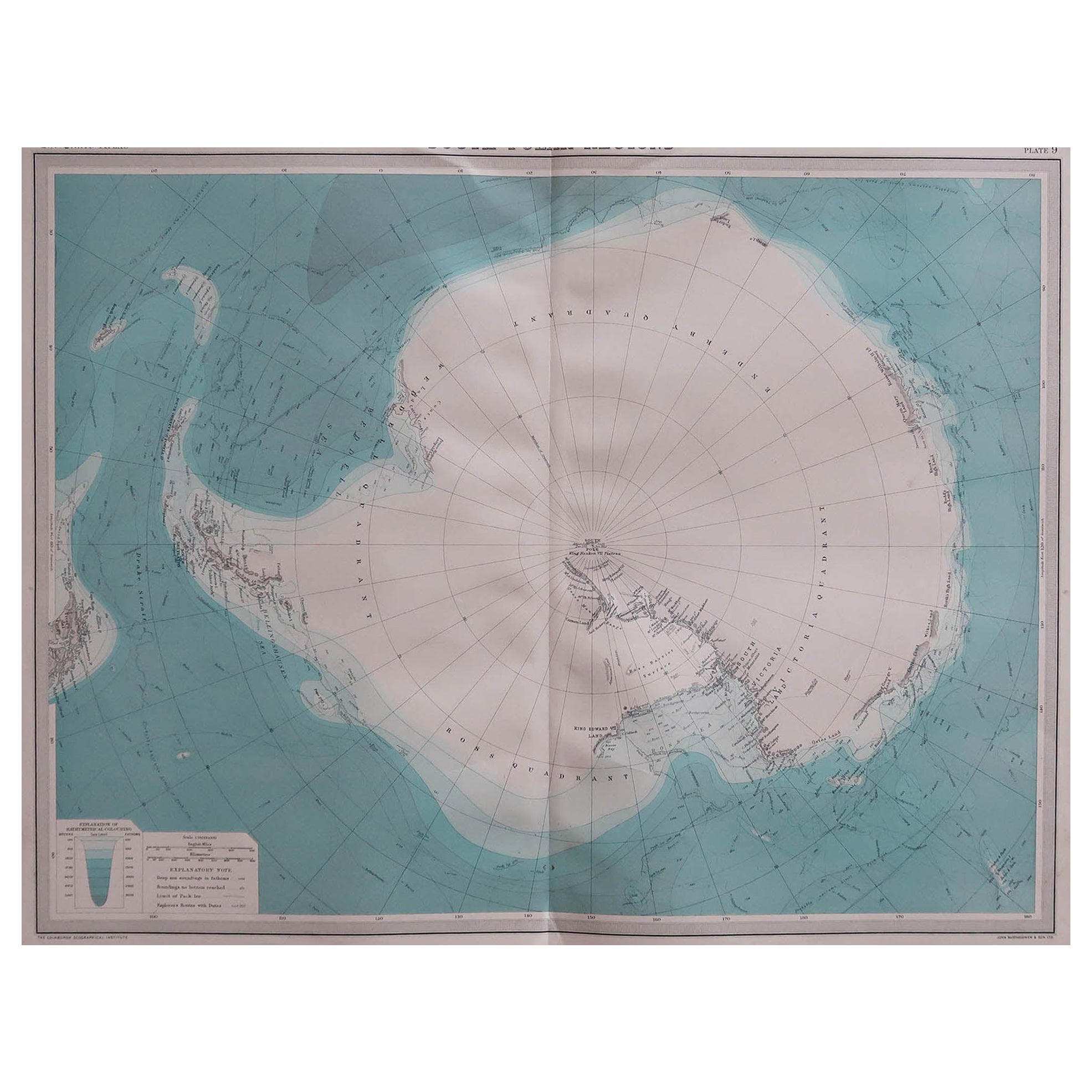
- Large Original Vintage Map of the South Pole, circa 1920Located in St Annes, LancashireGreat map of the South pole. Unframed. Original color. By John Bartholomew and Co. Edinburgh Geographical Institute. Published, circa 1920.Category
Vintage 1920s British Maps
MaterialsPaper
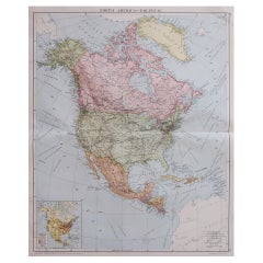
- Large Original Vintage Map of North America, circa 1920Located in St Annes, LancashireGreat map of North America Original color. Good condition Published by Alexander Gross Unframed.Category
Vintage 1920s English Edwardian Maps
MaterialsPaper
- Large Original Vintage Map of New Zealand, North Island, circa 1920Located in St Annes, LancashireGreat map of North Island, New Zealand Original color. Good condition / minor foxing to right edge Published by Alexander Gross Unframed.Category
Vintage 1920s English Edwardian Maps
MaterialsPaper
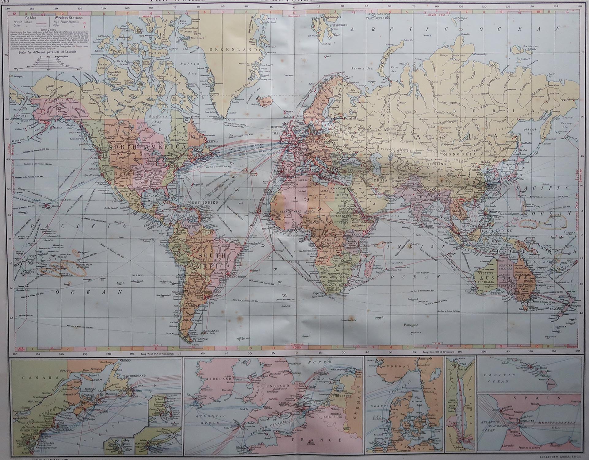
- Large Original Vintage Map of The World, circa 1920Located in St Annes, LancashireGreat map of The World Original color. Good condition / minor foxing Published by Alexander Gross Unframed.Category
Vintage 1920s English Maps
MaterialsPaper


You May Also Like
- Antique Map of North America by Dufour 'circa 1834'Located in Langweer, NLAntique map titled 'Amérique Septentrionale'. Uncommon map of North America. Published by or after A.H. Dufour, circa 1834. Source unknown, to be determined.Category
Antique Mid-19th Century Maps
MaterialsPaper
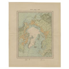
- Antique Map of the North Pole by Johnston, 1882Located in Langweer, NLAntique map titled 'North Pole Chart'. Old map of the North Pole showing the various regions and political boundaries. This map originates from 'The Royal A...Category
Antique 19th Century Maps
MaterialsPaper
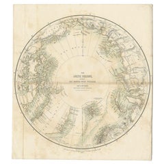
- Antique Map of the North Pole by Fullarton, 1856Located in Langweer, NLAntique map titled 'The Arctic Regions showing the North-West Passage of Captain R. McClure'. Old map of the North Pole, displaying the Northwest Passage di...Category
Antique 19th Century Maps
MaterialsPaper
- Antique Map of North East Borneo and North Sulawesi by P.M.G. VandermaelenLocated in Langweer, NLContemporary colored lithographed map. Relief shown pictorially and by hachures. Covers North Eastern Borneo and part of Northern Sulawesi.Category
Antique Early 19th Century Maps
MaterialsPaper
 $328 Sale Price39% Off
 - Antique Map of the Northern Hemisphere and North Pole by Tirion, circa 1754Located in Langweer, NLAntique map titled 'Nieuwe Kaart van de Noord Pool na de alderlaatste ondekking int licht gebracht'. Map of the Northern Hemisphere and North Pole, which shows the NE Passage, but no...Category
Antique Mid-18th Century Maps
MaterialsPaper
 $615 Sale Price24% Off
 - Antique Map of the Course of the Rhine River by Blaeu, circa 1640Located in Langweer, NLAntique map titled 'Rhenus Fluviorum Europae celeberrimus, cum Mosa, Mosella, et reliquis, in illum se exonerantibus, fluminibus'. Beautiful map of the course of the Rhine River...Category
Antique Mid-17th Century Maps
MaterialsPaper
 $1,230 Sale Price25% Off

Recently Viewed
View AllMore Ways To Browse
Uruguay Antique Map
Nevada Antique Map
Arizona Map
Map Of Arizona
Panama Antique Map
Antique Iowa Map
Maltese Falcon
Map Of Dc
Map Of Iowa
Map Of Majorca
Metal Knight Statue
Antique Map Ontario
Antique Map Puzzle
Antique Maps Ontario
Antique Puerto Rico Map
Derbyshire Antique Map
Antique Furniture Oklahoma City
Antique Map Bermuda