British Maps
to
11
271
20
291
2
66
34
8
5
4
2
1
1
63
143
85
2
76
2
1
46
27
1
251
69
31
6
5
530
293
179
128
113
293
293
293
4
4
1
1
1
Place of Origin: British
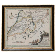
Map Kyle Carrick Aireshire Thomas Kitchen 1749
By Thomas Kitchin
Located in BUNGAY, SUFFOLK
A Map of Kyle & Carrick Aireshire Thomas Kitchen 1749
In original black and gold frame
Just purchased more information to follow
MAKER Thomas Kitchin (1718-1784) English engrave...
Category
18th Century Georgian Antique British Maps
Materials
Paper
FRAME DRIVING SCHOOL 70 S 20th Century
Located in Madrid, ES
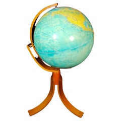
Large Globe 50S
THE GLOBE IS IN PLASTIC AND THE FOOT IN WOOD. 1950s. IT HAS LIGHT. GOOD CONDITION WITH CENTURIES OF USE. MEASUREMENTS: 110 CM IN HEIGHT AND 60 CM IN DIAMETER
good con...
Category
20th Century Modern British Maps
Materials
Plastic, Wood
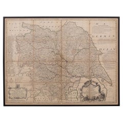
18th Century Emanuel Bowen Map of County of York, c.1740
By Emanuel Bowen
Located in Royal Tunbridge Wells, Kent
Antique 18th century British rare and original Emanuel Bowen (1694-1767) map of the County of York divided into its Ridings and subdivided into wapontakes, mounted in solid wood fram...
Category
Early 18th Century Antique British Maps
Materials
Paper


