Items Similar to Original Antique Map of Russia in Europe, 1882


Want more images or videos?
Request additional images or videos from the seller
1 of 6
Original Antique Map of Russia in Europe, 1882
About the Item
Embark on an enthralling journey with an original Antique Map of European Russia from the esteemed 'Comprehensive Atlas and Geography of the World,' meticulously crafted in 1882. This exquisite map intricately delineates European Russia, capturing its cities, rivers, boundaries, and diverse landscapes with remarkable precision.
More than a map, it's a portal to the vast expanse and historical richness of European Russia. Vibrant colors and intricate engravings bring the 19th-century world to life on your wall, inviting exploration into the historical significance and regional intricacies of this expansive territory.
Ideal for history enthusiasts, collectors, or aficionados of antique craftsmanship, this map is a testament to cartographic mastery. It encapsulates an era of exploration and scholarly dedication, showcasing the beauty and complexity of European Russia's landscapes.
A treasure trove of history, it holds timeless allure. Acquire this antique map today to infuse your space with its historical charm, allowing you to traverse the captivating landscapes and cultural heritage of European Russia in a bygone era.
- Dimensions:Height: 22.45 in (57 cm)Width: 14.97 in (38 cm)Depth: 0 in (0.02 mm)
- Materials and Techniques:
- Period:
- Date of Manufacture:1882
- Condition:Good condition, folding line in the middle. The outer borders are slightly yellowish discolored due to age, but not the image. This map is ideal for framing. Study the image carefully.
- Seller Location:Langweer, NL
- Reference Number:
About the Seller
5.0
Platinum Seller
These expertly vetted sellers are 1stDibs' most experienced sellers and are rated highest by our customers.
Established in 2009
1stDibs seller since 2017
1,916 sales on 1stDibs
Typical response time: <1 hour
- ShippingRetrieving quote...Ships From: Langweer, Netherlands
- Return PolicyA return for this item may be initiated within 14 days of delivery.
More From This SellerView All
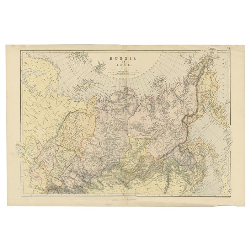
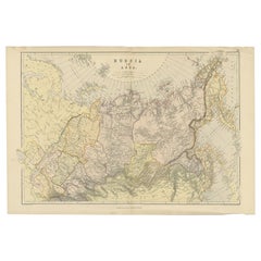
- Antique Map of Russia in Asia by Weller, 1882Located in Langweer, NLAntique map titled 'Russia in Asia'. Old map of Russia originating from Blackie's The Comprehensive Atlas & Geography of the World'. Artists and Engravers: Engraved by E. Weller. Pub...Category
Antique 19th Century Maps
MaterialsPaper
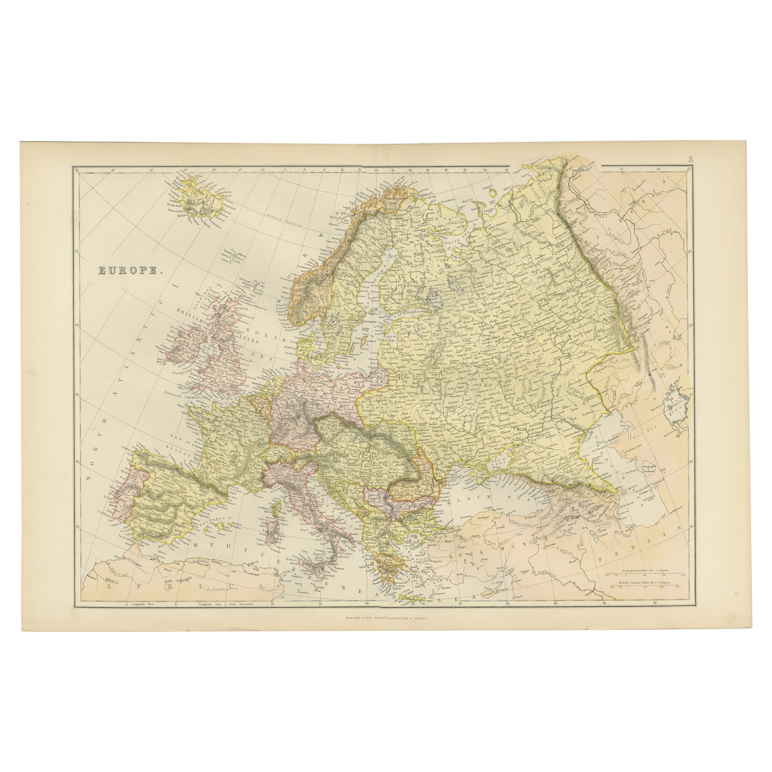
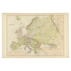
- Antique Map of the European Continent, 1882Located in Langweer, NLAntique map titled 'Europe'. Old map of the European continent. This map originates from 'The Royal Atlas of Modern Geography, Exhibiting, in a Series of Entirely Original and Authen...Category
Antique 19th Century Maps
MaterialsPaper
- Colorful Detailed Antique Map of Europe, Published in 1882Located in Langweer, NL"The Antique Map of Europe from 'The Comprehensive Atlas and Geography of the World,' published in 1882 by Blackie & Son, is a testament to meticulous cartography and scholarly preci...Category
Antique 1880s Maps
MaterialsPaper
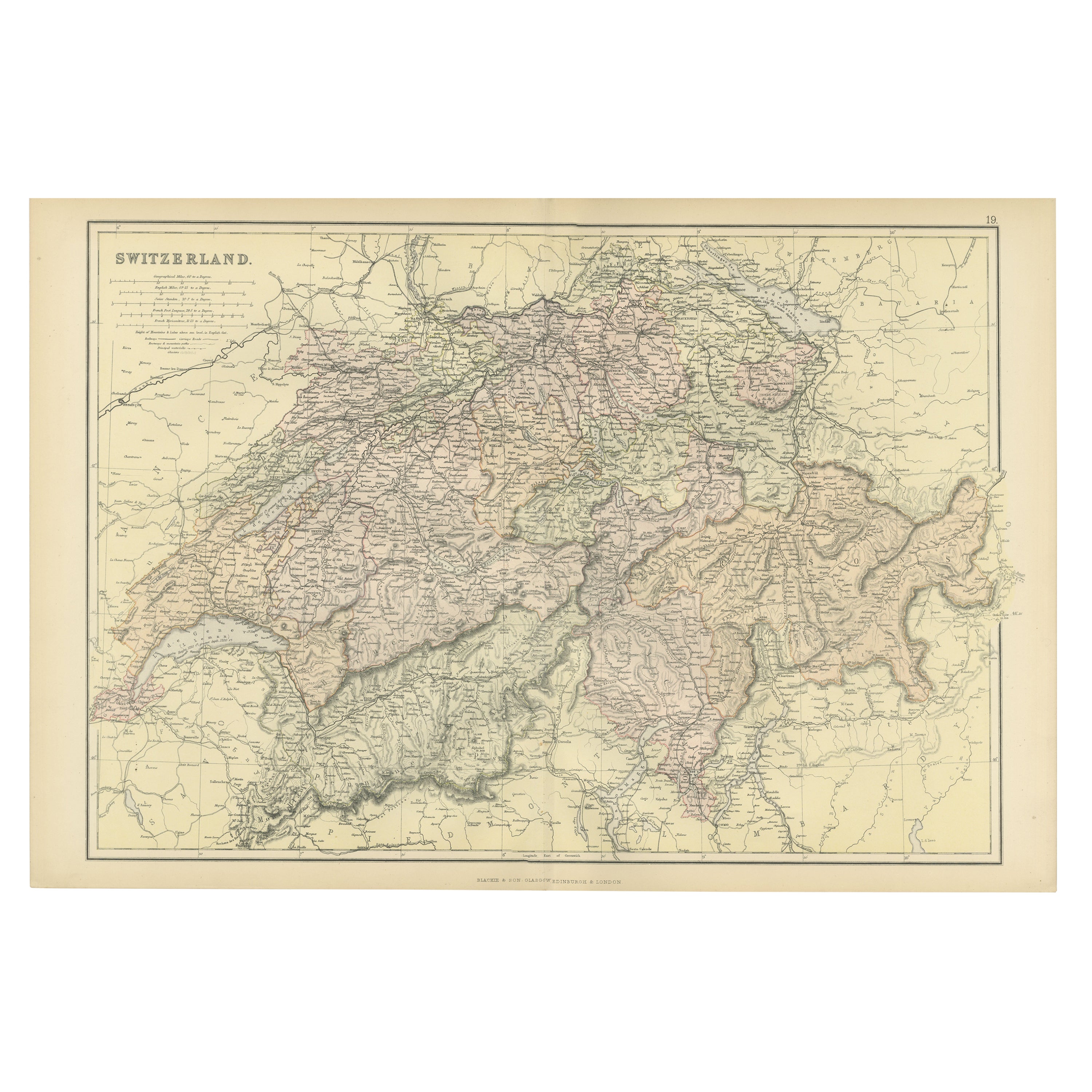
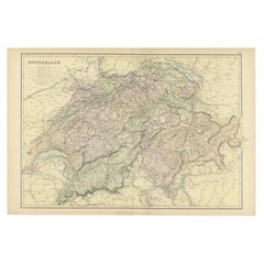
- Original Antique Map of Switzerland, 1882Located in Langweer, NLEmbark on a historical journey with an original Antique Map of Switzerland from the renowned 'Comprehensive Atlas and Geography of the World...Category
Antique 1880s Maps
MaterialsPaper
- Antique Map of Russia in Europe, 1842Located in Langweer, NLAntique map titled 'Carte de la Russie d'Europe'. Map of Russia in Europe. This map originates from 'Atlas universel de géographie ancienne et moderne (....Category
Antique 19th Century Maps
MaterialsPaper
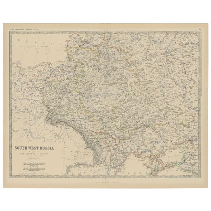
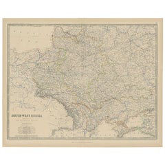
- Antique Map of Southern Russia by Johnston, 1882Located in Langweer, NL"Antique map titled 'South-West Russia'. Old map of southern Russia, also showing the extent of the Kingdom of Poland. This map originates from 'The Royal Atlas of Modern Geography, ...Category
Antique 19th Century Maps
MaterialsPaper


You May Also Like
- Original Antique Map of Europe, Arrowsmith, 1820Located in St Annes, LancashireGreat map of Europe Drawn under the direction of Arrowsmith. Copper-plate engraving. Published by Longman, Hurst, Rees, Orme and Brown, 1820 ...Category
Antique 1820s English Maps
MaterialsPaper
- Original Antique Map of Russia By Arrowsmith. 1820Located in St Annes, LancashireGreat map of Russia Drawn under the direction of Arrowsmith Copper-plate engraving Published by Longman, Hurst, Rees, Orme and Brown, 1820 Unframed.Category
Antique 1820s English Maps
MaterialsPaper
- 1853 Map of "Russia in Europe Including Poland" Ric.r016Located in Norton, MADescription Russia in Europe incl. Poland by J Wyld c.1853 Hand coloured steel engraving Dimension: Paper: 25 cm W x 33 cm H ; Sight: 22 cm W x 28 cm H Condition: Good ...Category
Antique 19th Century Unknown Maps
MaterialsPaper
- 1849 Map of "Europaische Russland", 'Meyer Map of European Russia', Ric. R017Located in Norton, MA1849 Map of "Europaische Russland" ( Meyer Map of European Russia) Ric.r017 A lovely map of European Russia dating to 1849 by Joseph Meyer. It covers the European portions of...Category
Antique 19th Century Unknown Maps
MaterialsPaper
- Large Original Antique Map of Europe by Sidney Hall, 1847Located in St Annes, LancashireGreat map of Europe Drawn and engraved by Sidney Hall Steel engraving Original colour outline Published by A & C Black. 1847 Unframed Free shipping.Category
Antique 1840s Scottish Maps
MaterialsPaper
- 1790 Thomas Stackhouse Map, Entitled "Russia in Europe, " , Ric.a004Located in Norton, MA1790 Thomas Stackhouse map, entitled "Russia in Europe" Ric.a004 Stackhouse, Thomas Russia in Europe [map] London: T. Stackhouse, 1783. Map. Matted hand-colored copper engraving. Image size: 14.5 x 15.25 inches. Mat size: 22.75 x 23.75 inches. A beautiful example of this map of Eastern Europe...Category
Antique 17th Century Unknown Maps
MaterialsPaper


Recently Viewed
View AllMore Ways To Browse
Map Of Mississippi
Von Allen
Antique Map Of North And East Asia 1751
Carl Probst
Levasseur A
Mid Century Maps
Atlas School Supply On Sale
Charente Map
F Colton
Ithaca Antique Map
Port Antonio Map
Rand McNally & Co. On Sale
Rand Mcnally Map Of Colorado
Asian Bassett
Wyld Globes
Antique Map Bremen
Antique Wisconsin Maps
Queensland Maps