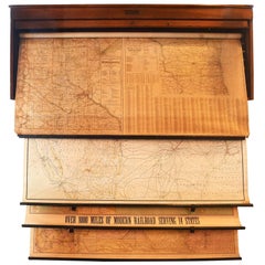
Rand McNally Railroad Map Set
View Similar Items


1 of 10
Rand McNally Railroad Map Set
About the Item
- Creator:Rand McNally & Co. (Manufacturer)
- Dimensions:Height: 67 in (170.18 cm)Width: 55 in (139.7 cm)Depth: 6 in (15.24 cm)
- Materials and Techniques:
- Place of Origin:
- Period:
- Date of Manufacture:circa 1935
- Condition:
- Seller Location:Minneapolis, MN
- Reference Number:Seller: 476261stDibs: LU152129886521
You May Also Like
- Antique Railroad Map of the United States by Rand, McNally & Co, 1900Located in Langweer, NLAntique map titled 'Rand, McNally & Co's New Official Railroad map of the United States with portions of The Dominion of Canada, The Republic of Mexico and the West Indies'. Large railroad map of the United States, sectionalised and laid on linen. Map shows state boundaries for the United States, Mexico, the West Indies, and lower portion of Canada; major cities and towns, military posts, Native American reservations, and railroads; Oklahoma and "Indian Territory." Inset: "Map of Alaska...Category
20th Century Maps
MaterialsLinen, Paper
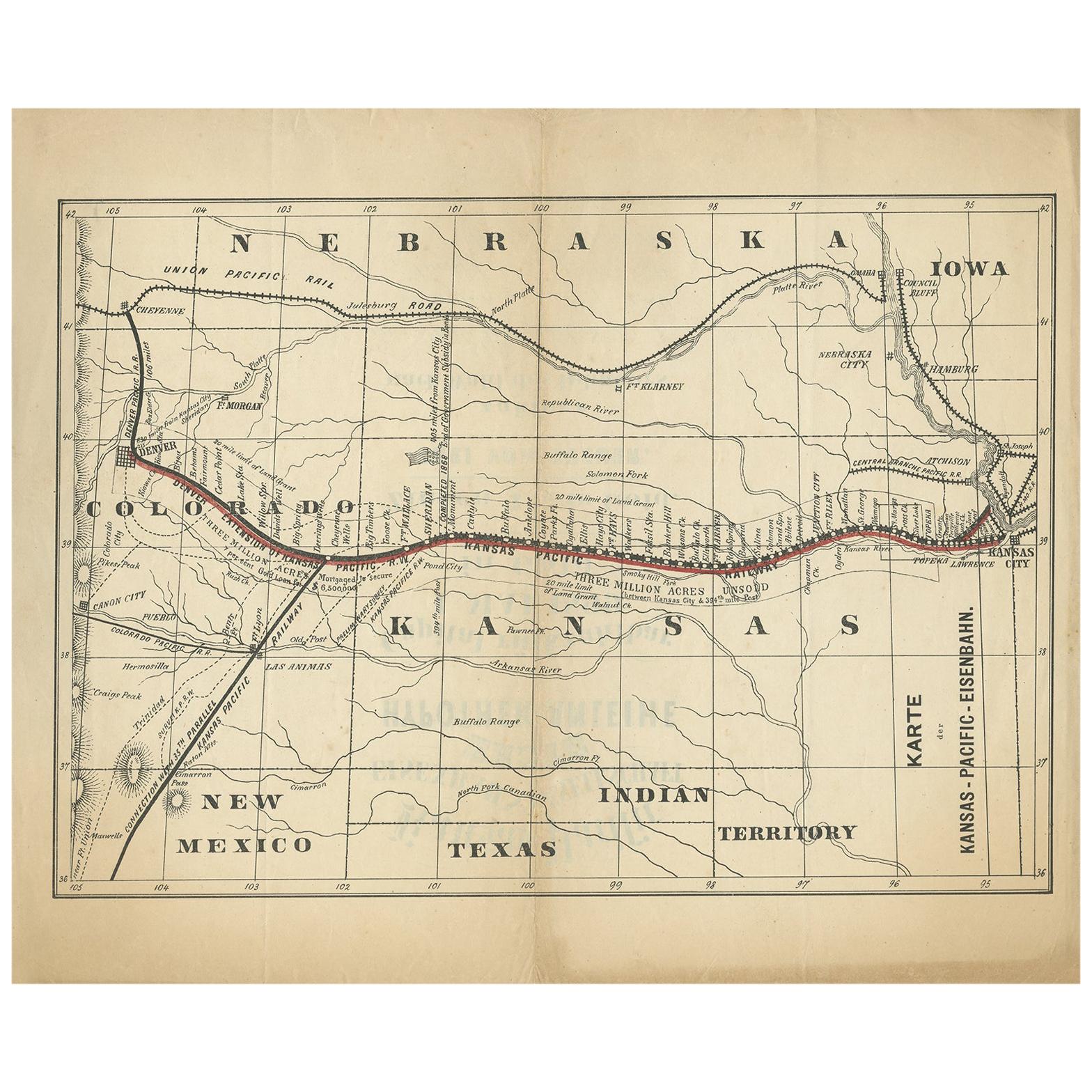
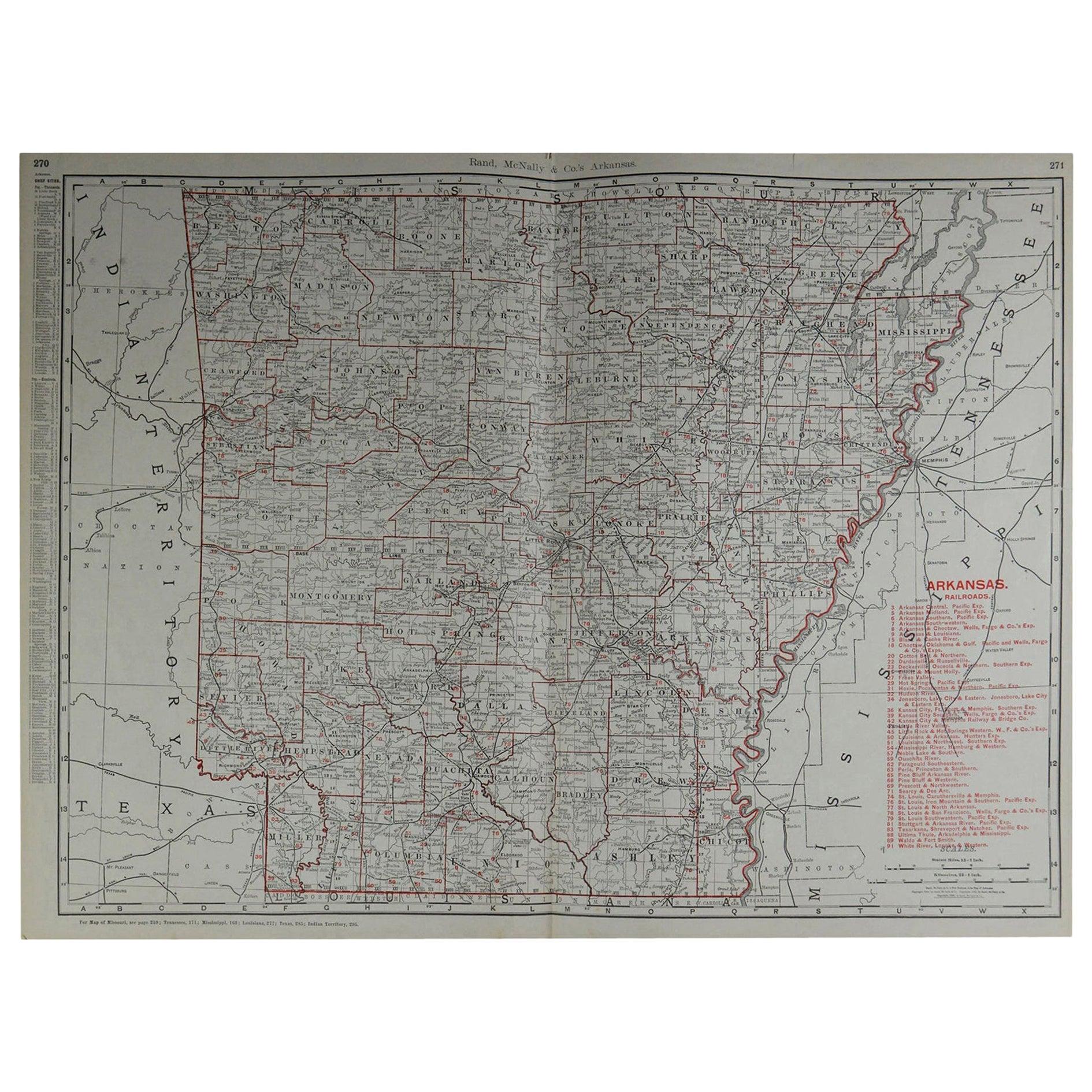
- Large Original Antique Map of Arkansas by Rand McNally, circa 1900By Rand McNally & Co.Located in St Annes, LancashireFabulous monochrome map with red outline color Original color By Rand, McNally & Co. Published, circa 1900 Unframed Minor edge tears.Category
Antique Early 1900s American Edwardian Maps
MaterialsPaper

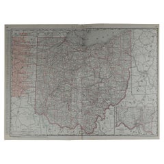
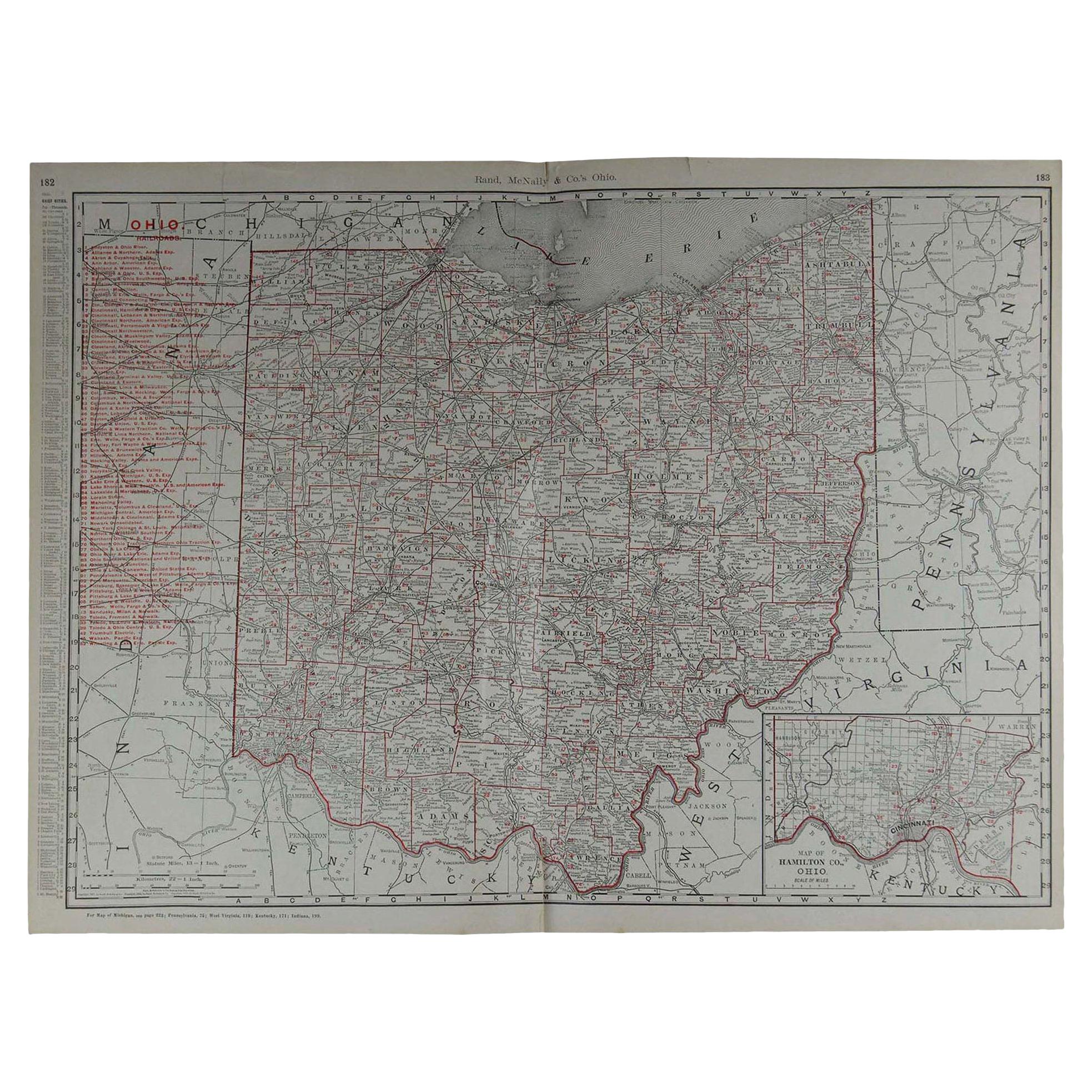
- Large Original Antique Map of Ohio by Rand McNally, circa 1900By Rand McNally & Co.Located in St Annes, LancashireFabulous monochrome map with red outline color Original color By Rand, McNally & Co. Published, circa 1900 Unframed Repairs to minor edge tears.Category
Antique Early 1900s American Edwardian Maps
MaterialsPaper
- Original Antique Map of South Dakota by Rand McNally, circa 1900By Rand McNally & Co.Located in St Annes, LancashireFabulous monochrome map with red outline color Original color By Rand, McNally & Co. Published, circa 1900 Unframed Minor edge tears.Category
Antique Early 1900s American Edwardian Maps
MaterialsPaper
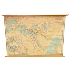
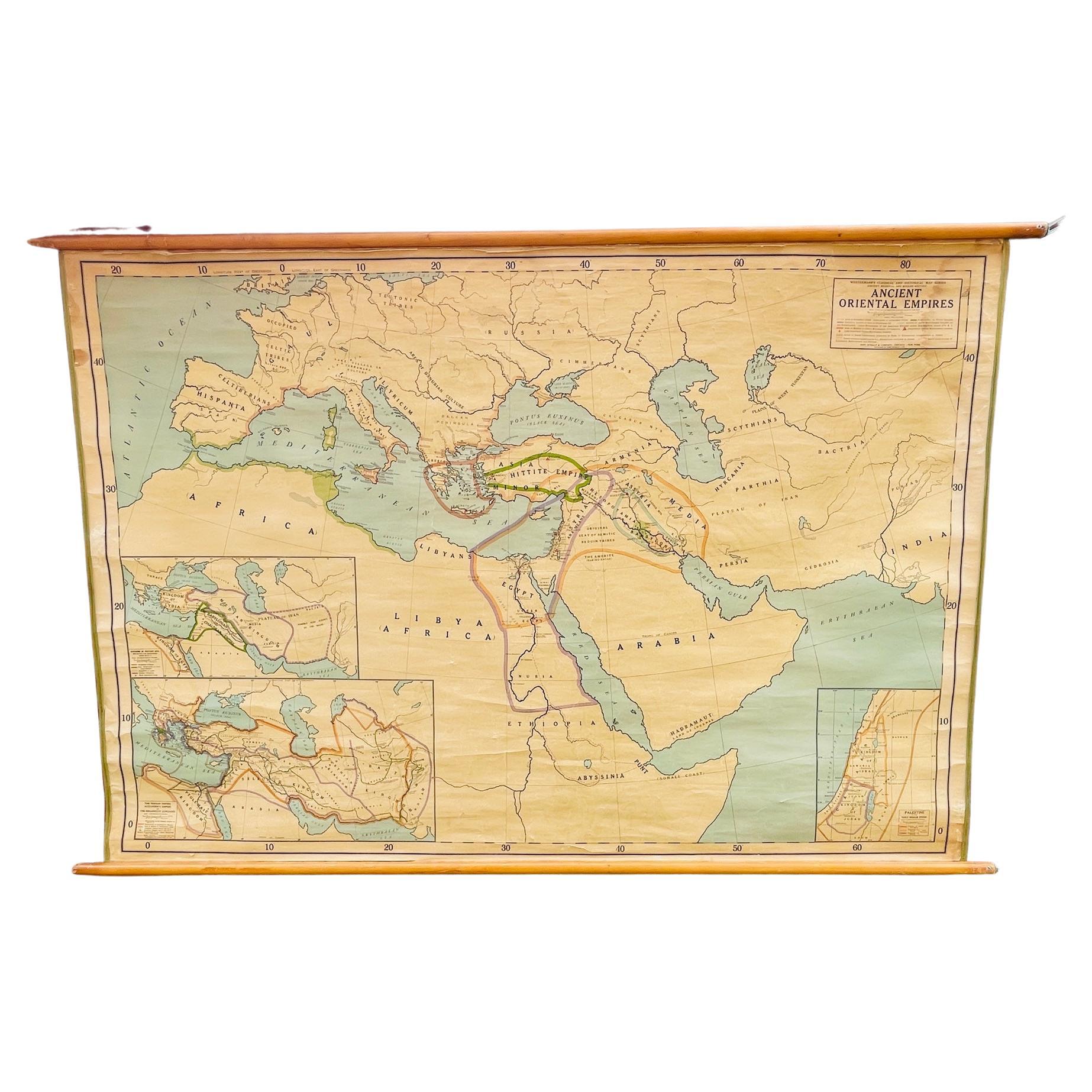
- Antique Rand McNally & Company Schoolmap. Ancient Oriental Empires. HistoricalBy Rand McNally & Co.Located in ROTTERDAM, ZHThis is a real unique map made by the famous Rand McNally Company. This rare schoolmap is probably made in the late 1920's. The map of all the ...Category
Vintage 1920s American American Classical Maps
MaterialsFabric, Paper
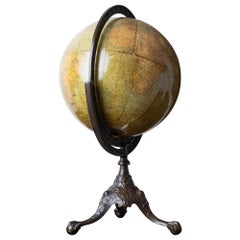
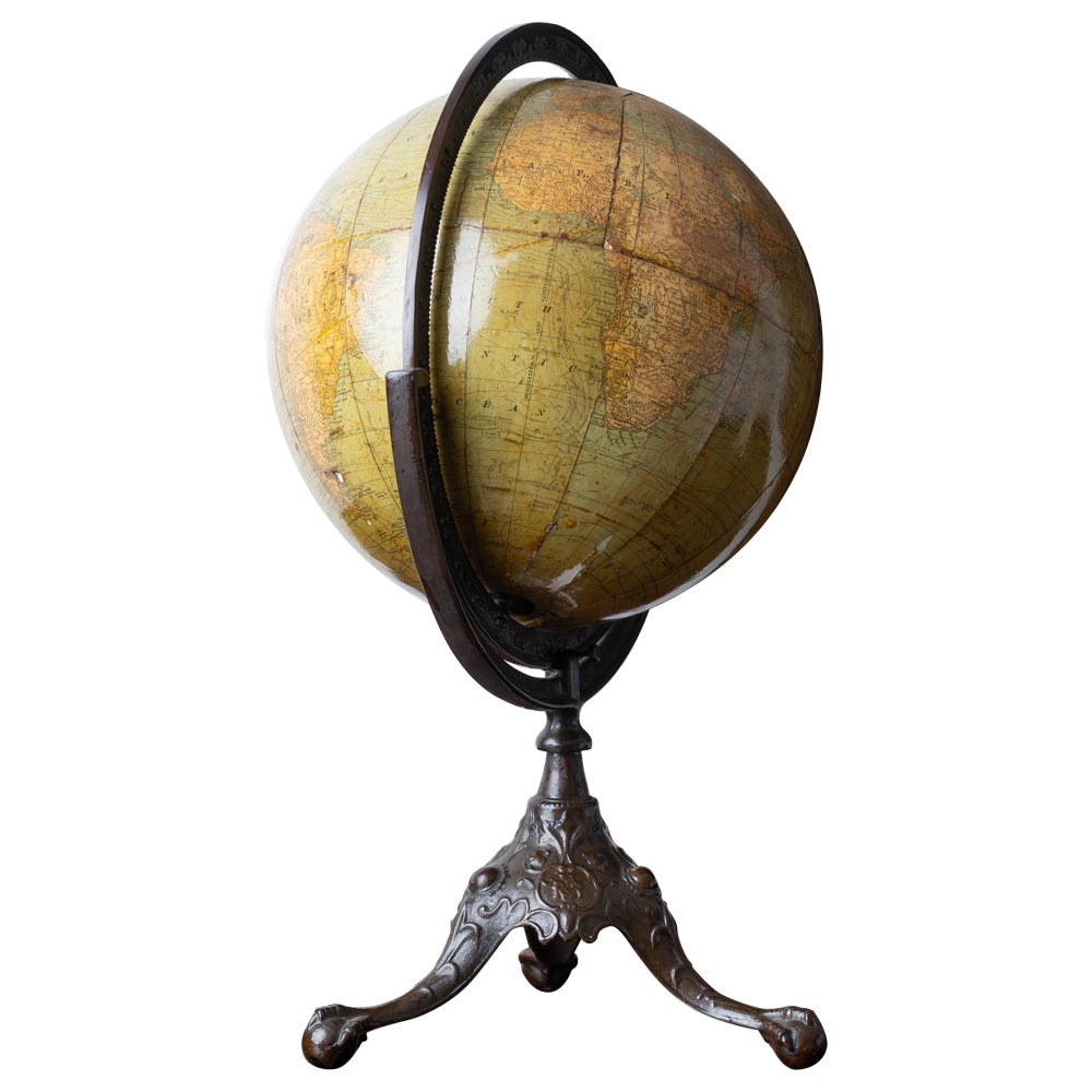
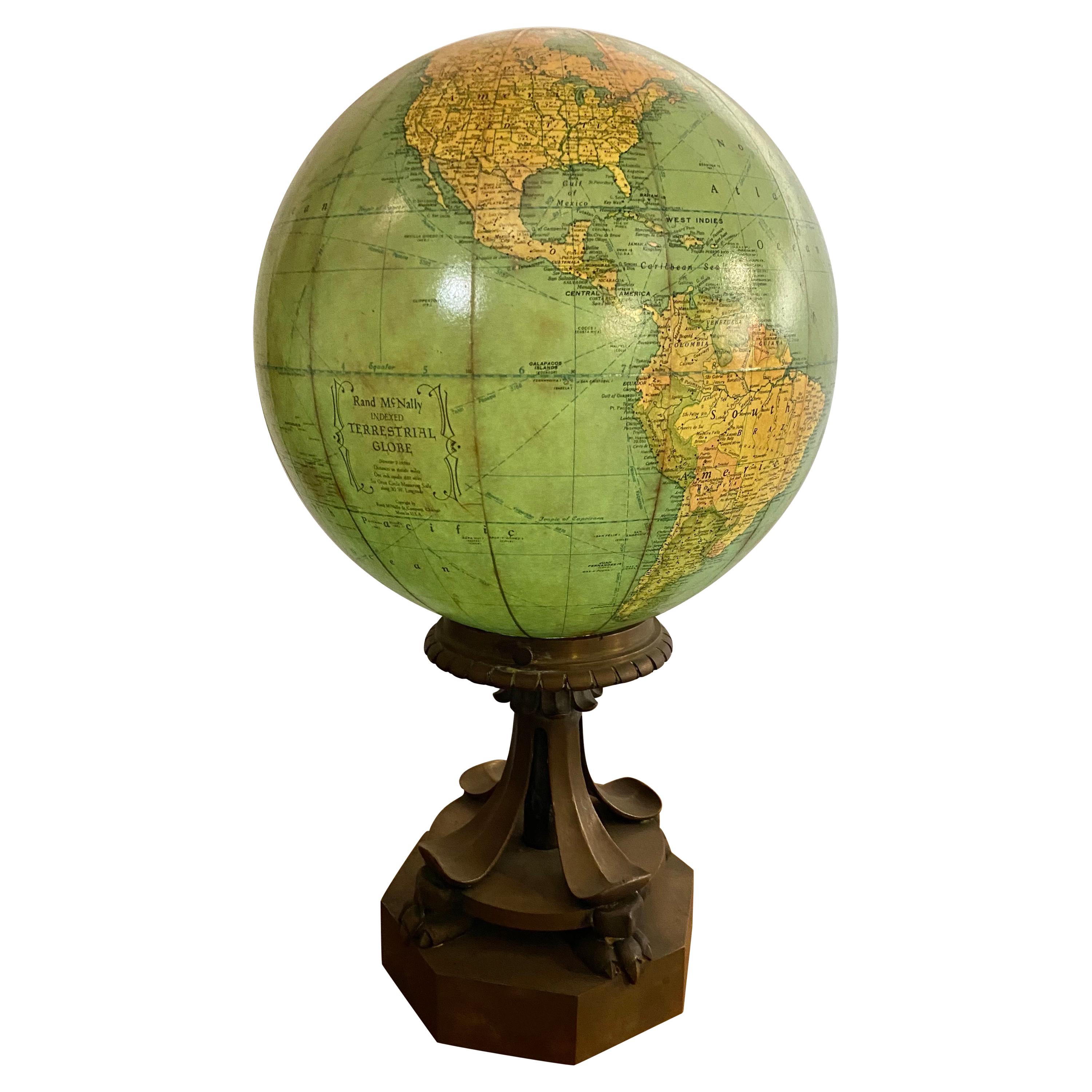
- Rand McNally Twelve Inch Terrestrial GlobeBy Rand McNally & Co.Located in Savannah, GAA Rand, McNally & Co. twelve inch terrestrial globe on cast iron base, first quarter 20th century. 15 inches wide by 12 inches deep by 23 inches tallCategory
Early 20th Century American Art Deco Globes
MaterialsIron