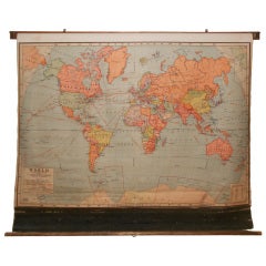
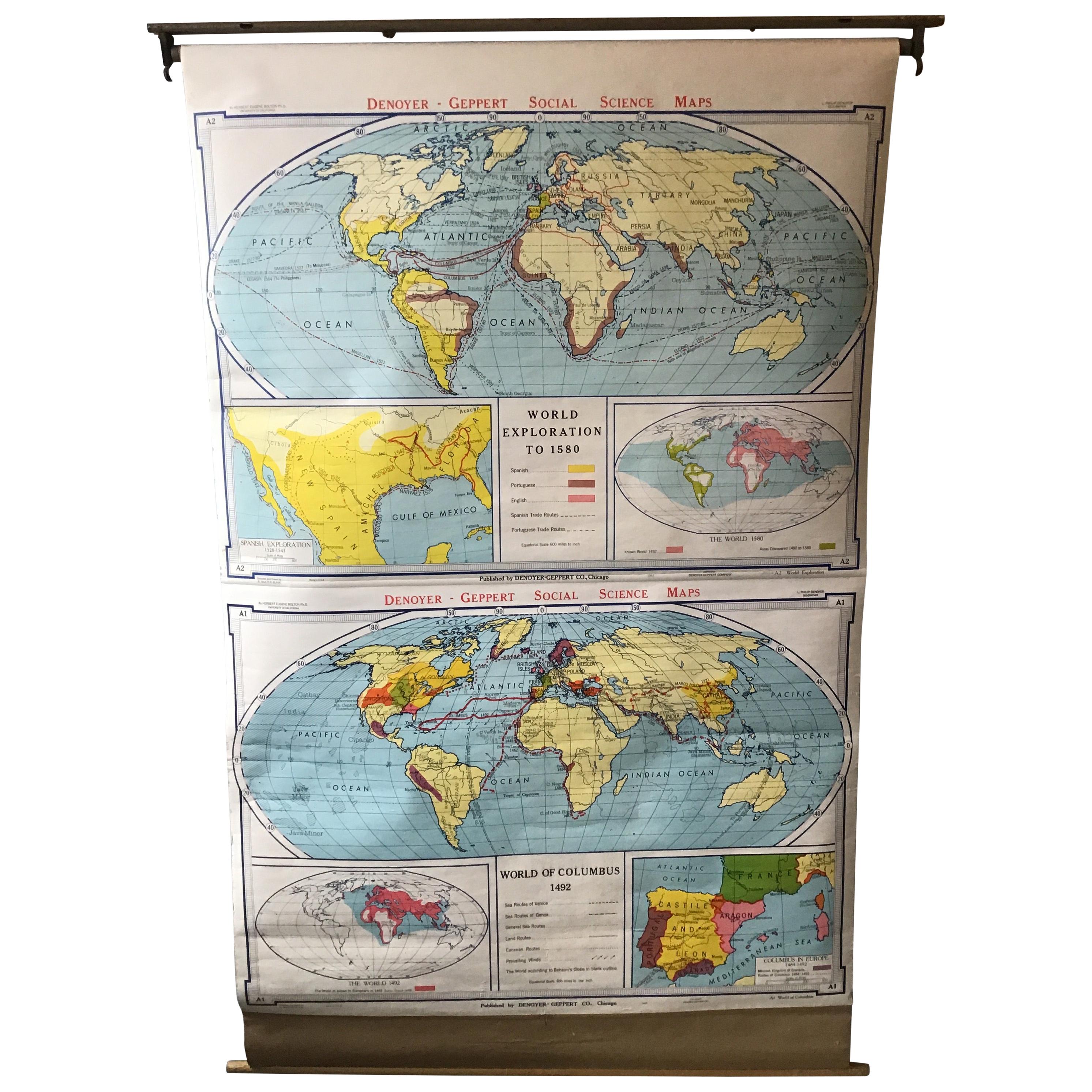
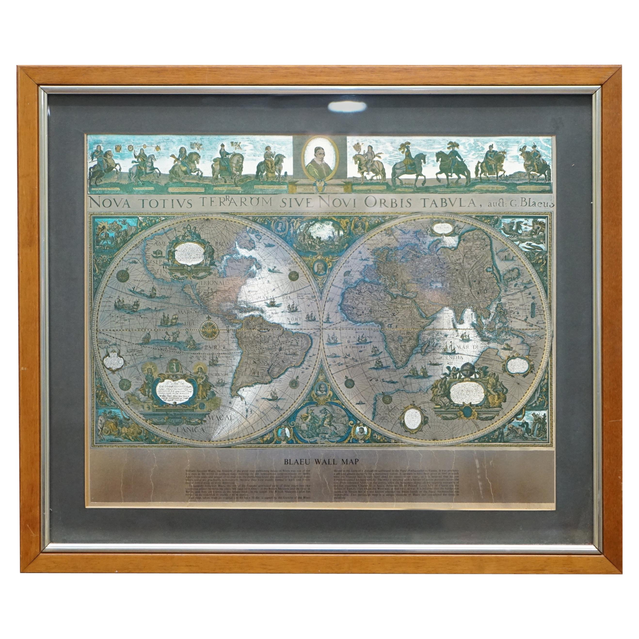
School Map of The World, 1944 edition.
View Similar Items


1 of 8
School Map of The World, 1944 edition.
About the Item
- Dimensions:Height: 55 in (139.7 cm)Width: 70 in (177.8 cm)Depth: 5 in (12.7 cm)
- Materials and Techniques:
- Place of Origin:
- Period:
- Date of Manufacture:20th century
- Condition:Wear consistent with age and use.
- Seller Location:Madison, WI
- Reference Number:1stDibs: LU9235818506
You May Also LikeView All
- Large Original Antique Map of The World, Fullarton, C.1870Located in St Annes, LancashireGreat map of the World. Showing both hemispheres From the celebrated Royal Illustrated Atlas Lithograph. Original color. Published by Fullarton, Edinburgh, C.1870 Unframed. Rep...Category
Antique 1870s Scottish Maps
MaterialsPaper
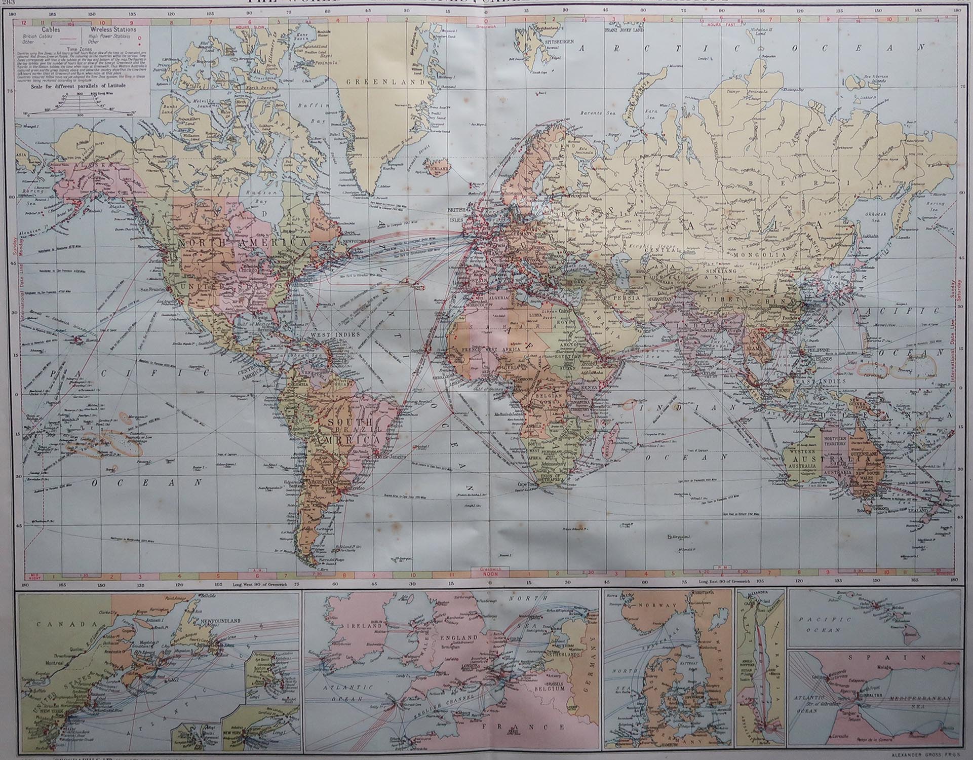
- Large Original Vintage Map of The World, circa 1920Located in St Annes, LancashireGreat map of The World Original color. Good condition / minor foxing Published by Alexander Gross Unframed.Category
Vintage 1920s English Maps
MaterialsPaper

- World Relief MapLocated in Antwerp, BELarge world relief map. Measures: Width 232 cm. Height 158 cm.Category
Mid-20th Century German Mid-Century Modern Maps
MaterialsAcrylic
 $1,993
 - Large Original Antique Map of the World, Fullarton, circa 1870Located in St Annes, LancashireGreat map of the World. From the celebrated Royal Illustrated Atlas Lithograph. Original color. Published by Fullarton, Edinburgh, circa 1870. Unframed.Category
Antique 1870s Scottish Maps
MaterialsPaper
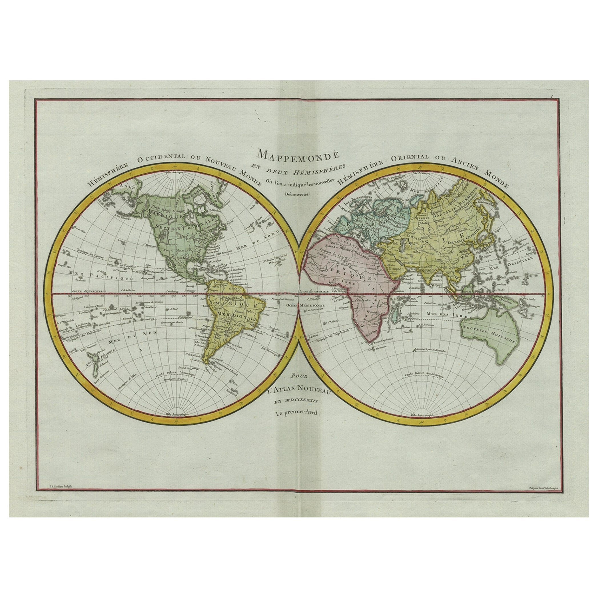
- Original Engraved Antique Map of the World, Colorful and Decorative, C.1780By Pierre François TardieuLocated in Langweer, NLAntique map titled 'Mappemonde en Deux Hemispheres ou l'on a Indique les Nouvelles Decouvertes' - This handsome double hemisphere map presents a ...Category
Antique 18th Century Maps
MaterialsPaper
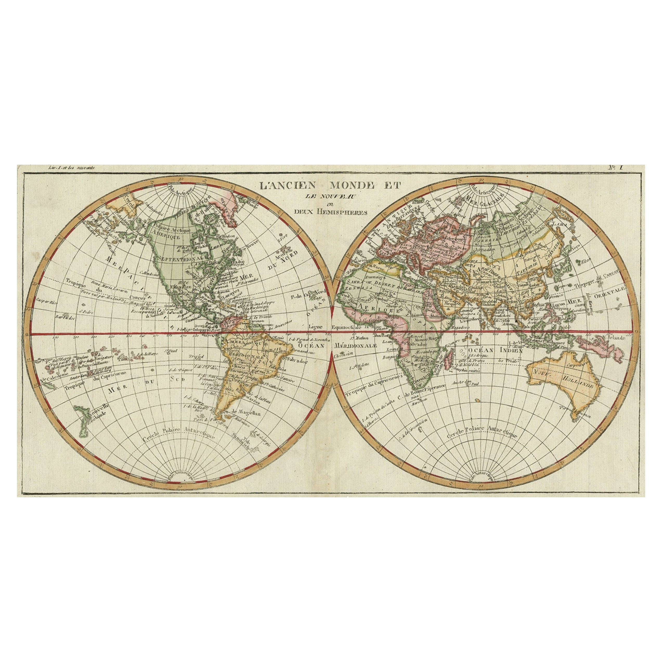
- Very Decorative Original Antique Map of the World, Published in France in c.1780By Rigobert BonneLocated in Langweer, NLAntique map titled 'L'Ancien Monde Et Le Nouveau en Deux Hemispheres' - Double hemisphere map of the World, showing the contemporary geographical...Category
Antique 18th Century Maps
MaterialsPaper
 $682 Sale Price20% Off


Recently Viewed
View AllMore Ways To Browse
Uruguay Antique Map
Nevada Antique Map
Arizona Map
Map Of Arizona
Panama Antique Map
Antique Iowa Map
Maltese Falcon
Map Of Dc
Map Of Iowa
Map Of Majorca
Metal Knight Statue
Antique Map Ontario
Antique Map Puzzle
Antique Maps Ontario
Antique Puerto Rico Map
Derbyshire Antique Map
Antique Furniture Oklahoma City
Antique Map Bermuda