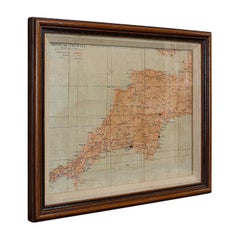
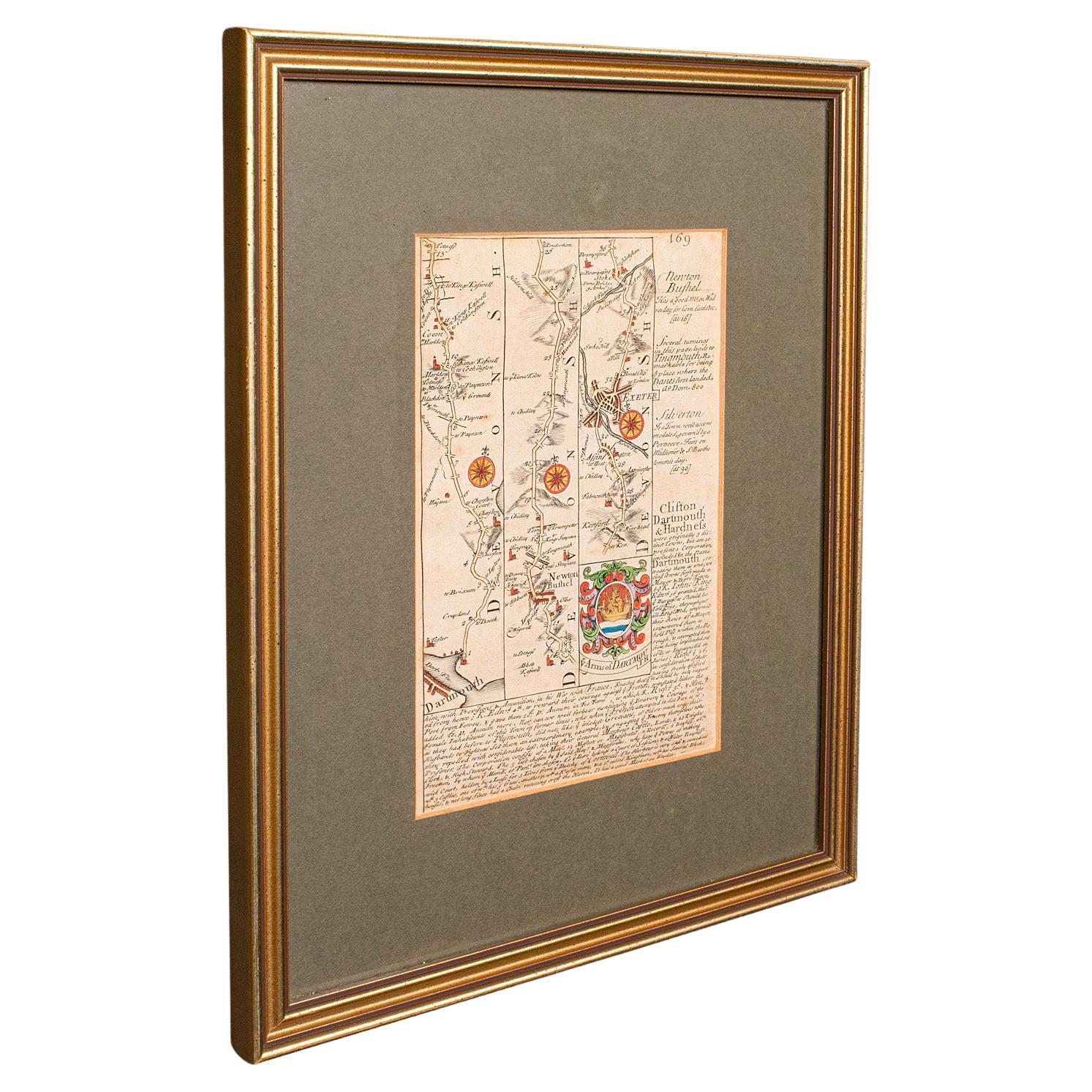
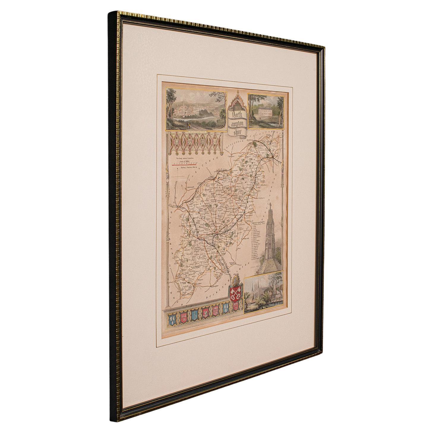
Vintage Framed Map, English, Mahogany, Illustrated, Devon, Cornwall
View Similar Items


Want more images or videos?
Request additional images or videos from the seller
1 of 12
Vintage Framed Map, English, Mahogany, Illustrated, Devon, Cornwall
About the Item
- Dimensions:Height: 13.39 in (34 cm)Width: 16.34 in (41.5 cm)Depth: 1.58 in (4 cm)
- Style:Mid-Century Modern (Of the Period)
- Materials and Techniques:
- Place of Origin:
- Period:
- Date of Manufacture:circa 1950
- Condition:Wear consistent with age and use. Presented in very good vintage condition.
- Seller Location:Hele, Devon, GB
- Reference Number:Seller: 18.65231stDibs: LU2645319327622
About the Seller
5.0
Platinum Seller
These expertly vetted sellers are 1stDibs' most experienced sellers and are rated highest by our customers.
Established in 2005
1stDibs seller since 2017
833 sales on 1stDibs
Typical response time: 1 hour
More From This SellerView All
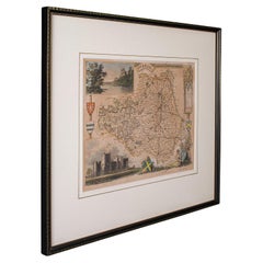
- Antique Lithography Map, Cornwall, English Framed Engraving, Cartography, C.1850Located in Hele, Devon, GBThis is an antique lithography map of the Duchy of Cornwall. An English, framed atlas engraving of cartographic interest, dating to the early 19th century and later. Superb lithogra...Category
Antique Mid-19th Century British Victorian Maps
MaterialsWood
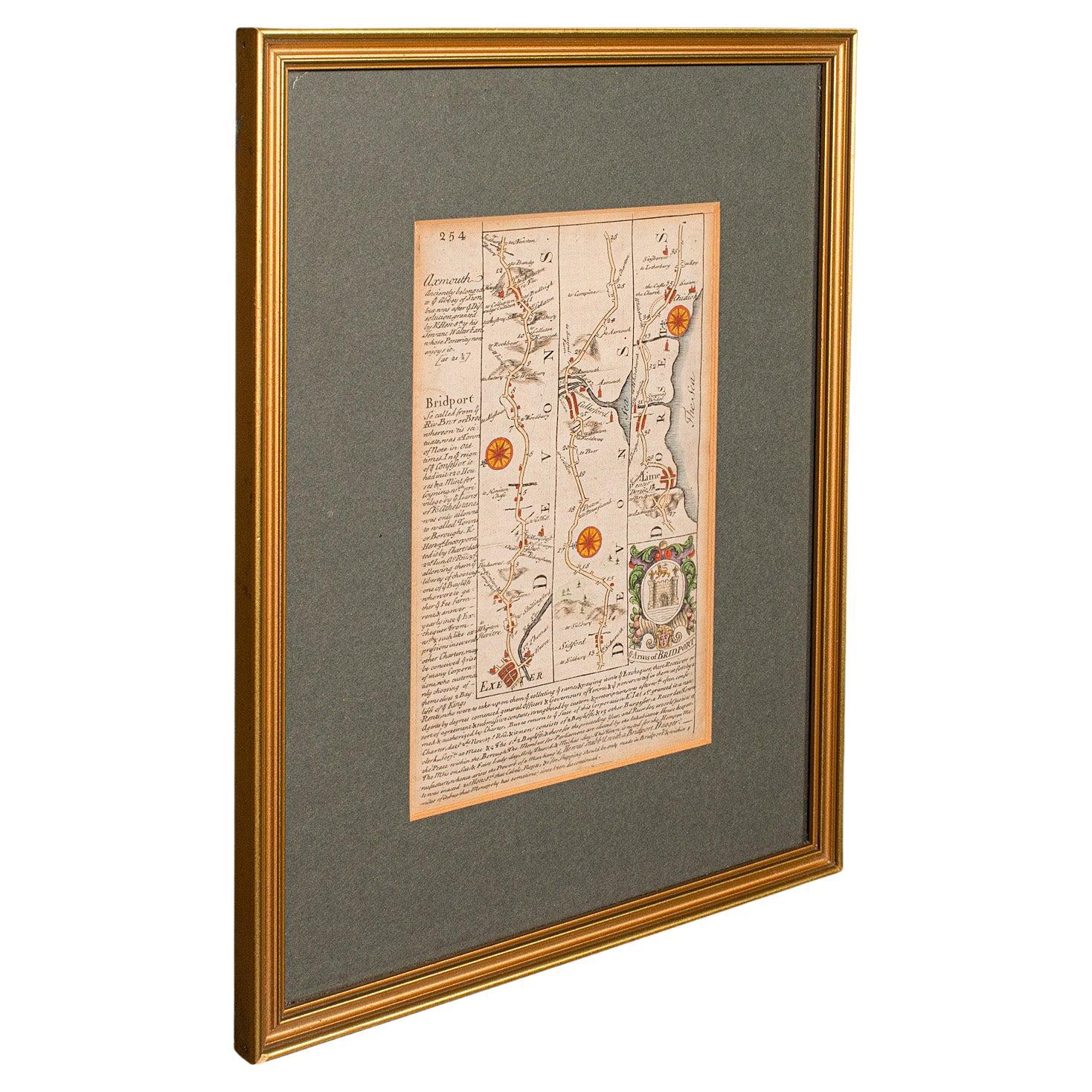
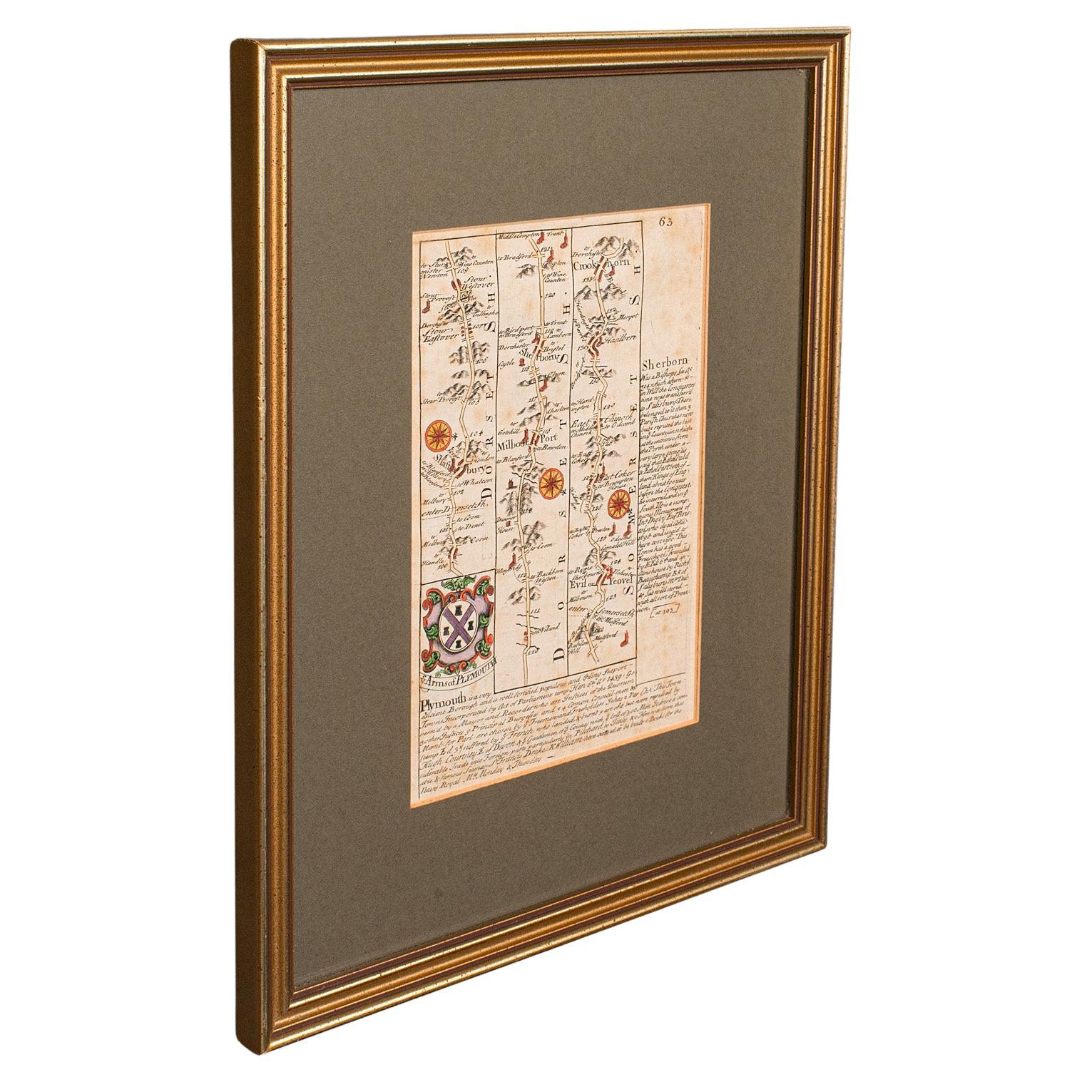
- Antique Coaching Road Map, South Devon, English, Framed, Cartography, GeorgianLocated in Hele, Devon, GBThis is an antique coach road map of South Devon. An English, framed lithograph engraving of regional interest, dating to the early 18th century and later. Delightful early 18th cen...Category
Antique Early 18th Century British Georgian Maps
MaterialsWood
- Antique Coach Road Map, East Devon, English, Framed, Cartography, Georgian, 1720Located in Hele, Devon, GBThis is an antique coach road map of East Devon. An English, framed lithograph engraving of regional interest, dating to the early 18th century and later. Fascinating 18th century h...Category
Antique Early 18th Century British Georgian Maps
MaterialsWood
- Antique Coaching Road Map, Devon, English, Regional Cartography, Georgian, 1720Located in Hele, Devon, GBThis is an antique coaching road map of Devon. An English, framed lithograph engraving of regional interest, dating to the early 18th century and later. Fascinating 18th century hig...Category
Antique Early 18th Century British Georgian Maps
MaterialsWood
- Antique Lithography Map, County Durham, English, Framed Cartography, VictorianLocated in Hele, Devon, GBThis is an antique lithography map of County Durham. An English, framed atlas engraving of cartographic interest, dating to the mid 19th century and later. Superb lithography of Cou...Category
Antique Mid-19th Century British Mid-Century Modern Maps
MaterialsWood
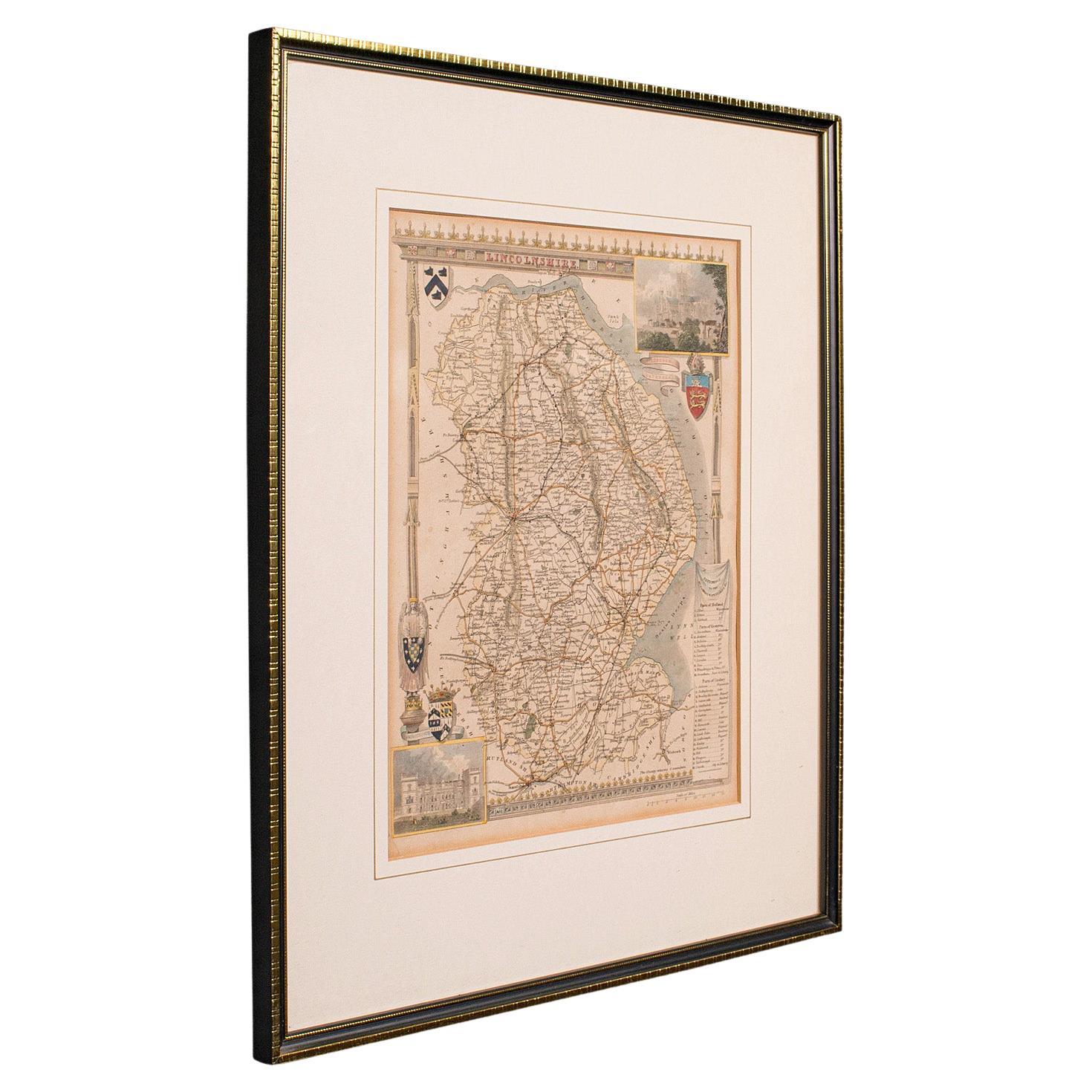
- Antique Lithography Map, Lincolnshire, English, Framed, Engraving, CartographyLocated in Hele, Devon, GBThis is an antique lithography map of Lincolnshire. An English, framed atlas engraving of cartographic interest, dating to the mid 19th century and...Category
Antique Mid-19th Century British Victorian Maps
MaterialsWood


You May Also Like
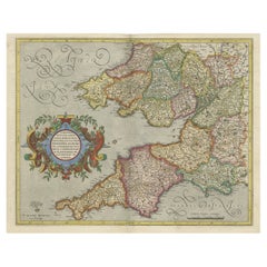
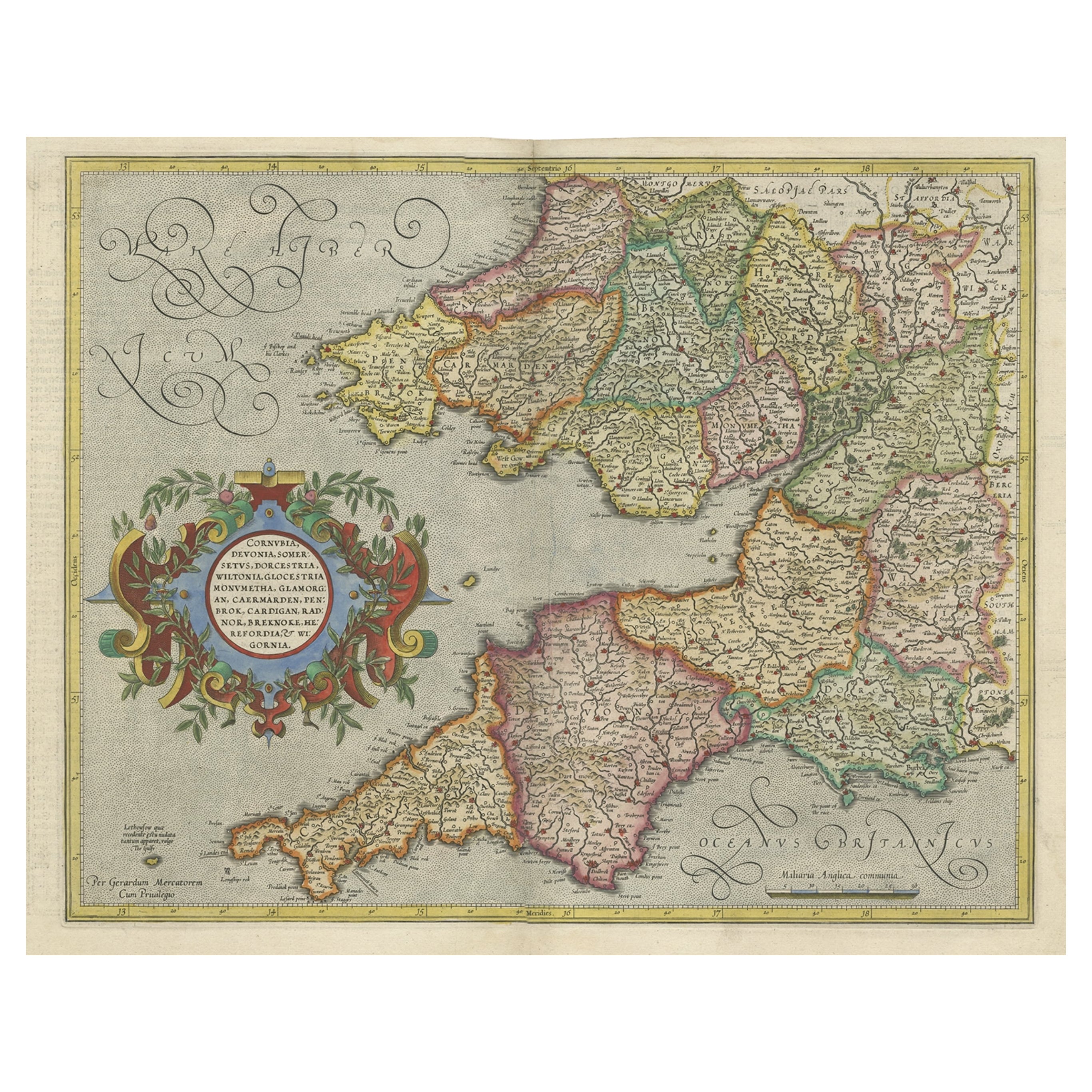
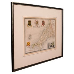
- Original Antique Map of the English counties Cornwall, Devon, Dorset, etc, 1633Located in Langweer, NLAntique map titled 'Cornubia, Devonia, Somersetus, Dorcestria, Wiltonia, Glocestria, Monumetha, Glamorgan, Caermarden, Penbrok, Cardigan, Radnor, Breknoke et Herfordia'. Old map of the English counties of Cornwall, Devon, Somerset, Dorset, Wiltshire, Gloucestershire, Herefordshire, Worcestershire etc. Originates from the 1633 German edition of the Mercator-Hondius Atlas Major, published by Henricus Hondius and Jan Jansson under the title: 'Atlas: das ist Abbildung der gantzen Welt, mit allen darin begriffenen Laendern und Provintzen: sonderlich von Teutschland, Franckreich, Niderland, Ost und West Indien: mit Beschreibung der selben.' Artists and Engravers: Gerard Mercator (1512 - 1594) originally a student of philosophy was one of the most renowned cosmographers and geographers of the 16th century, as well as an accomplished scientific instrument maker. He is most famous for introducing Mercators Projection, a system which allowed navigators to plot the same constant compass bearing on a flat...Category
Antique 1630s Maps
MaterialsPaper
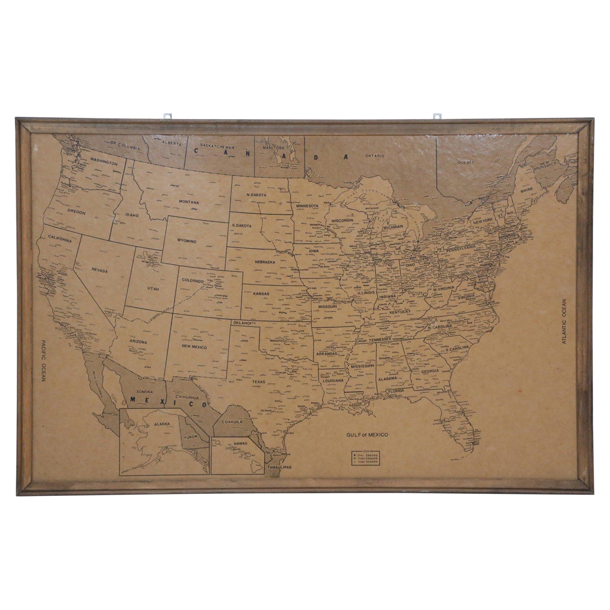
- Vintage Framed United States MapLocated in New York, NYVintage aged paper map of the United States mounted on particle board and framed in a simple wooden frame.Category
20th Century American Mid-Century Modern Maps
MaterialsWood, Paper
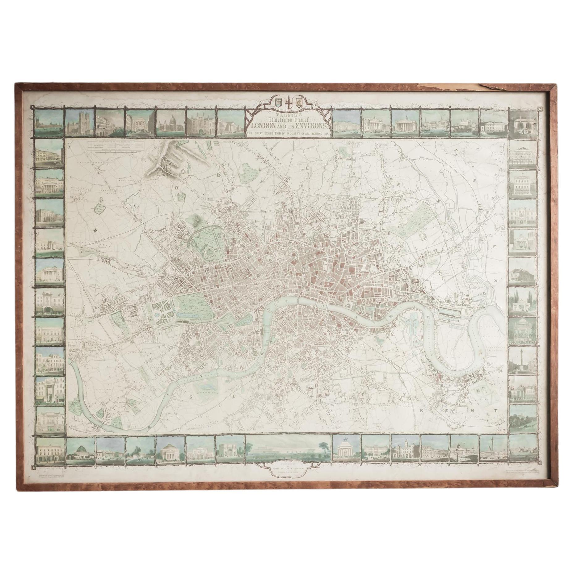
- Illustrated Map of London from ExhibtionLocated in Alton, GBDetailed illustrated map of London from the great exhibition of industry of all nations 1851.Category
Antique 19th Century Maps
MaterialsPaper
- Antique Framed Pen and Ink on Fabric Map of Cornwall from Early 19th CenturyLocated in Los Angeles, CAEarly 19th-century English pen-and-ink fabric map of Cornwall. With beautiful hand-drawn details and faded sepia tones, this framed piece turns history into art. England, circa 181...Category
Antique Early 19th Century English Drawings
MaterialsFabric, Walnut
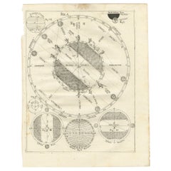
- Antique Map Illustrating Solar Eclipses by Scherer, C.1703Located in Langweer, NLAntique map of an hemisphere and several figures illustrating the position of the earth, moon and sun. Printed for Scherer's 'Atlas Novus' (1702-1710). Artists and Engravers: Heinrich Scherer (1628-1704) was a Professor of Hebrew, Mathematics and Ethics at the University of Dillingen until about 1680. Thereafter he obtained important positions as Official Tutor to the Royal Princes...Category
Antique 18th Century Maps
MaterialsPaper
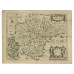
- Antique Map of the County of Devon by Overton, 1713Located in Langweer, NLAntique map titled 'Devoniae Descriptio - The Description of Devon Shire'. Map of the County of Devon, England. This map originates from the 1713 edition of the 'Overton Atlas'. Henry Overton only revised the Devon map...Category
Antique 18th Century Maps
MaterialsPaper