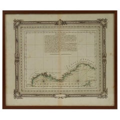
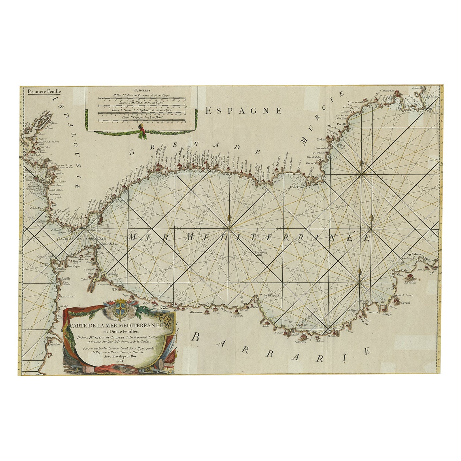
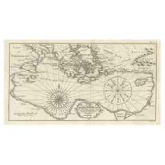
Nautical Map of the Mediterranean Sea from Le petit Neptune françois, 1763
View Similar Items

Want more images or videos?
Request additional images or videos from the seller
1 of 10
Nautical Map of the Mediterranean Sea from Le petit Neptune françois, 1763
About the Item
- Creator:G. A. Rizzi-zannoni (Author)
- Dimensions:Height: 12.21 in (31 cm)Width: 14.18 in (36 cm)Depth: 0.79 in (2 cm)
- Place of Origin:
- Period:1760-1769
- Date of Manufacture:1763
- Condition:
- Seller Location:Milan, IT
- Reference Number:1stDibs: LU1020211507923
About the Seller
4.9
Vetted Seller
These experienced sellers undergo a comprehensive evaluation by our team of in-house experts.
Established in 1999
1stDibs seller since 2014
371 sales on 1stDibs
More From This SellerView All
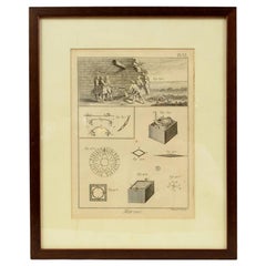
- Engraving Print from the Panckoucke Encyclopédie Nautical Subject 1782-1832Located in Milan, ITPrint by engraving on copper plate from the Panckoucke Encyclopédie méthodique, end of the 18th century, volume Marine Planches (more than 1,500 figures dealing with all subjects on ...Category
Antique 1790s French Nautical Objects
MaterialsPaper
- Egraving Print from the Panckoucke Encyclopédie Nautical Subject 1782-1832Located in Milan, ITPrint by engraving on copper plate from the Panckoucke Encyclopédie méthodique, end of the 18th century, volume Marine Planches (more than 1,500 figures dealing with all subjects on ...Category
Antique 1790s French Nautical Objects
MaterialsPaper
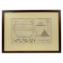
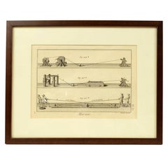
- Engraving Print from the Panckoucke Encyclopédie Nautical Subject 1782-1832Located in Milan, ITPrint by engraving on copper plate from the Panckoucke Encyclopédie méthodique, end of the 18th century,volume Marine Planches (more than 1,500 figures dealing with all subjects on the marina: planes, construction, carpentry, tree trunks, armaments of maneuvers, ropes, sails, artillery, ship maneuvers and combat tactics). This is the plate no. n. 24, pag. 69 fig. 341 ; with frame cm 38.3 x 31.5. Ship ropes are depicted. The Print has the "Benard direxit...Category
Antique 1790s French Nautical Objects
MaterialsPaper
- Engraving Print from the Panckoucke Encyclopédie Nautical Subject 1782-1832Located in Milan, ITPrint by engraving on copper plate from the Panckoucke Encyclopédie méthodique, end of the 18th century, volume Marine Planches (more than 1,500 figures dealing with all subjects on ...Category
Antique 1790s French Nautical Objects
MaterialsPaper
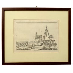
- Engraving Print from the Panckoucke Encyclopédie Nautical Subject, 1782-1832Located in Milan, ITPrint by engraving on copper plate from the Panckoucke Encyclopédie méthodique, end of the 18th century, volume Marine Planches (more than 1,500 figures dealing with all subjects on the marina: planes, construction, carpentry, tree trunks, armaments of maneuvers, ropes, sails, artillery, ship maneuvers and combat tactics). This is the plate no. n. 26, pag. 70 fig. 350-353; with frame cm 38.3 x 31.5. Ship ropes are depicted. The Print has the "Benard direxit...Category
Antique 1790s French Nautical Objects
MaterialsPaper
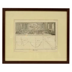
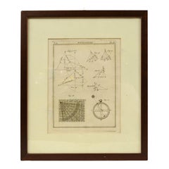
- Engraving on Copper Print from the Volume Navigazione Nautical Subject 1790Located in Milan, ITPrint by engraving on copper plate Tav III TIX fig. 17-22 from the volume Navigazione; with frame 28 x 33. Some calculations are depicted. Very good condition. Shipping is insured by...Category
Antique 1790s Italian Nautical Objects
MaterialsPaper
You May Also Like
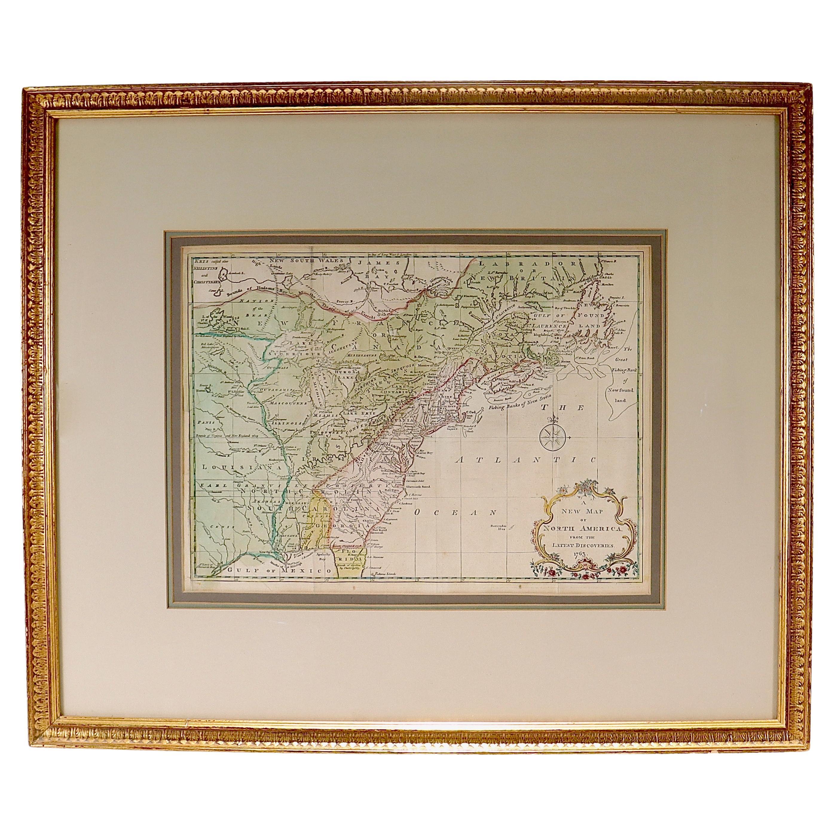
- New Map of North America from the Latest Discoveries, 1763Located in Philadelphia, PAA fine antique 18th century map of the North American seaboard. Entitled "A New Map of North America from the Latest Discoveries 1763". By the Cartographer/Engraver - John Spil...Category
Antique Mid-18th Century English Georgian Maps
MaterialsPaper
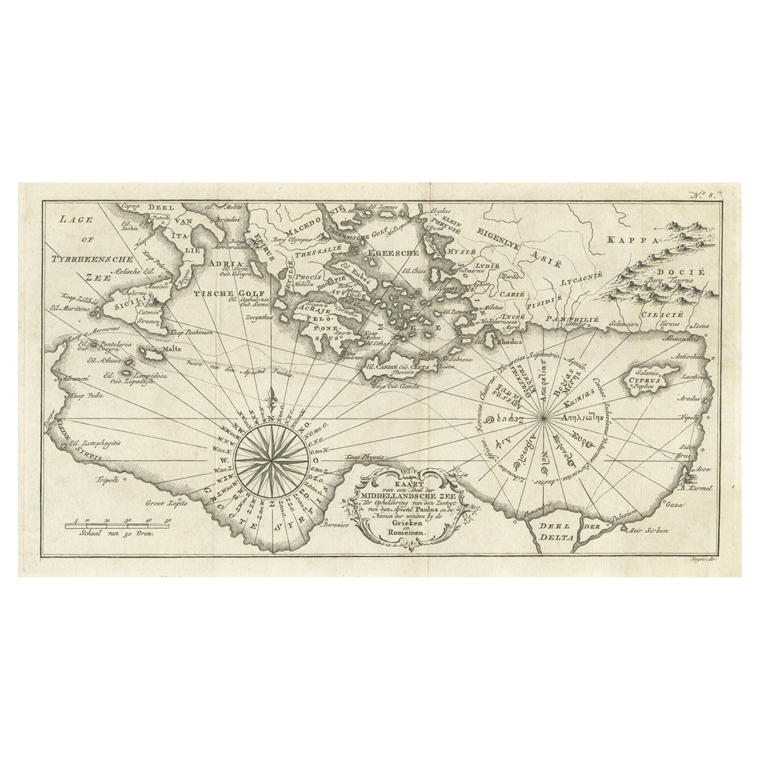
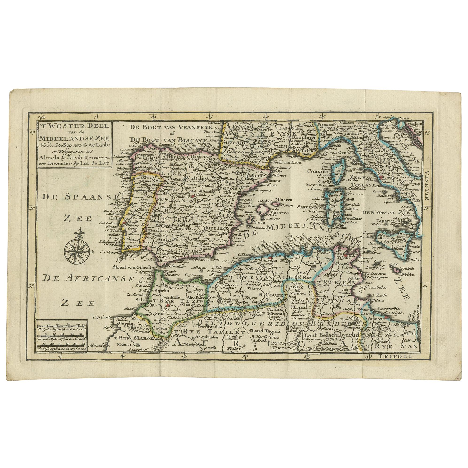
- Old Dutch Map of the Region Around the Mediterranean Sea, 1773Located in Langweer, NLAntique map titled 'Kaart van een Deel der Middelandsche Zee (..)'. Old map of the region around the Mediterranean Sea. Originates from the first Dutch editon of an interesting t...Category
Antique 1770s Maps
MaterialsPaper
- Antique Map of the City of Paris by Tirion '1763'Located in Langweer, NLAntique map titled 'Nieuwe Kaart der platte Grond van de Stad Parys (..)'. Beautiful city plan of Paris, France. This map originates from 'Nieuwe en Beknopte Hand-Atlas, bestaande in...Category
Antique Mid-18th Century Maps
MaterialsPaper
 $1,055 Sale Price20% Off
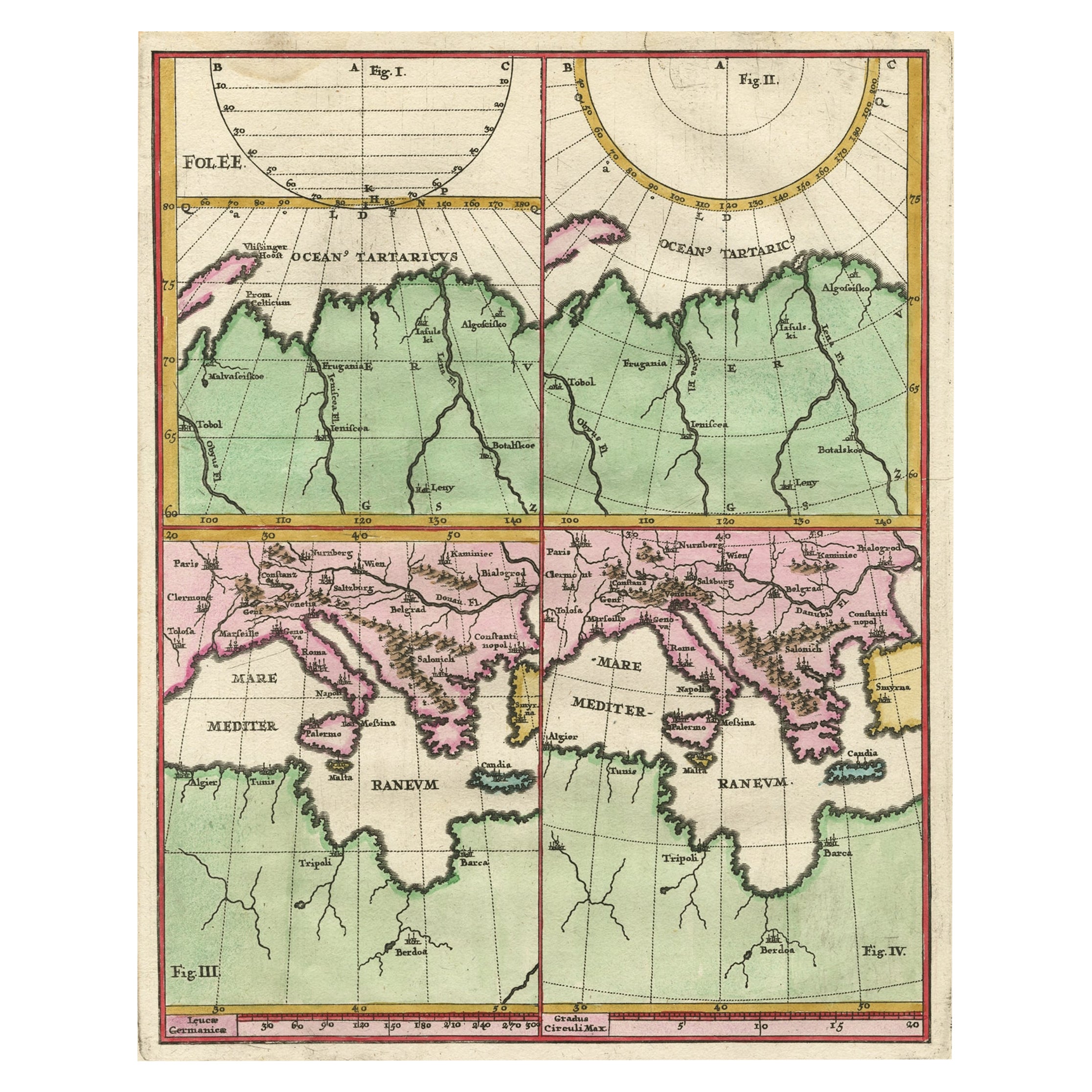
 - Curious Map of the Laptev Sea 'Arctic Ocean' and the Mediterranean, ca.1700Located in Langweer, NLAntique map, untitled. Map of the Laptev Sea (Arctic Ocean) and the Mediterranean, printed for Scherer's 'Atlas Novus' (1702-1710). Scherer's 'Atlas Novus' forms an important mil...Category
Antique Early 1700s Maps
MaterialsPaper
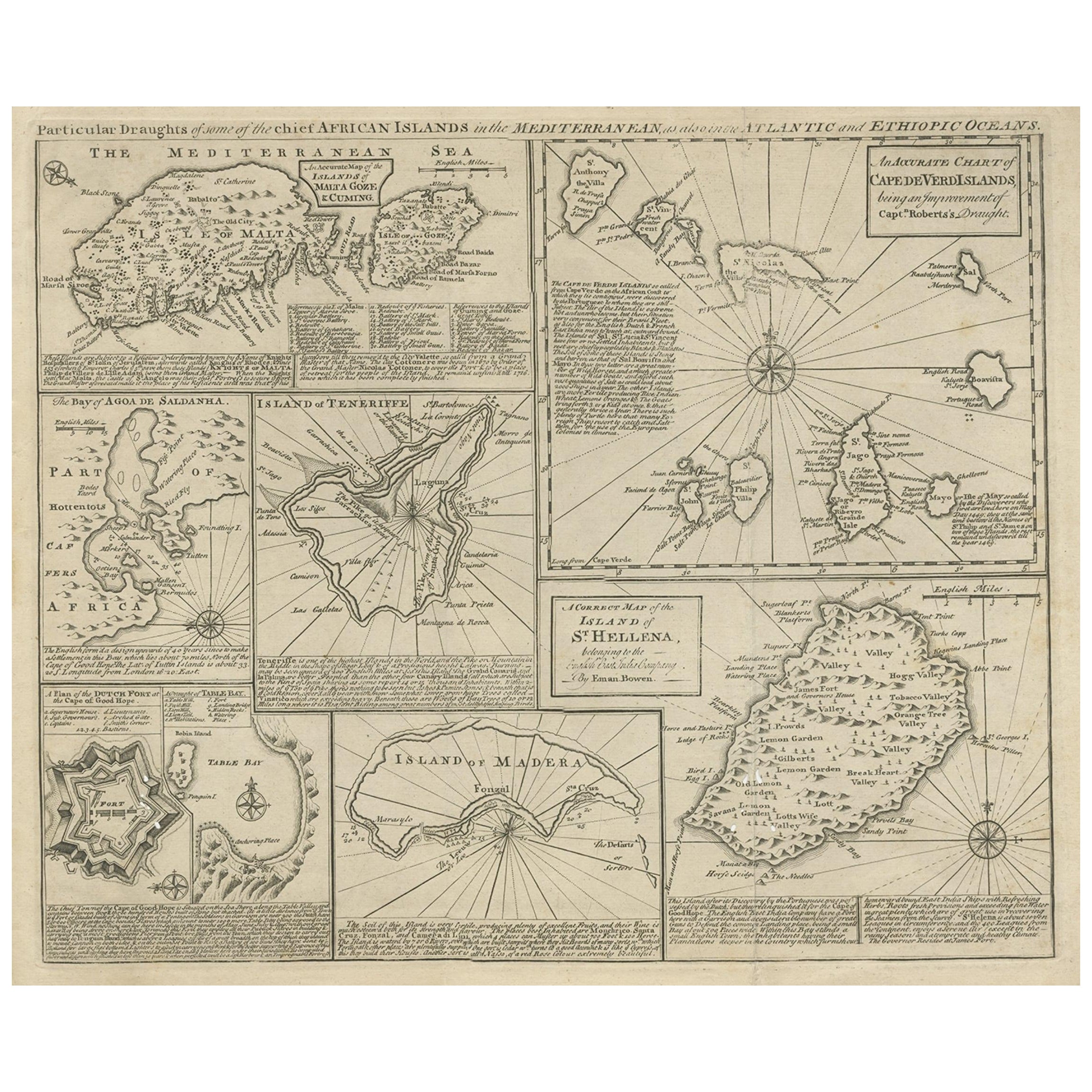
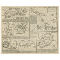
- Antique Map of 'African' Islands in the Mediterranean Sea and The Atlantic, 1747Located in Langweer, NLAntique map titled 'Particular draughts of some of the chief African Islands in the Mediterranean (..)'. Detailed set of eight maps, including a large and detailed Malta, the Bay of Agoa de Saldanha, Tenerife, the Dutch Fortress at the Cape of Good Hope, Table Bay...Category
Antique 18th Century Maps
MaterialsPaper
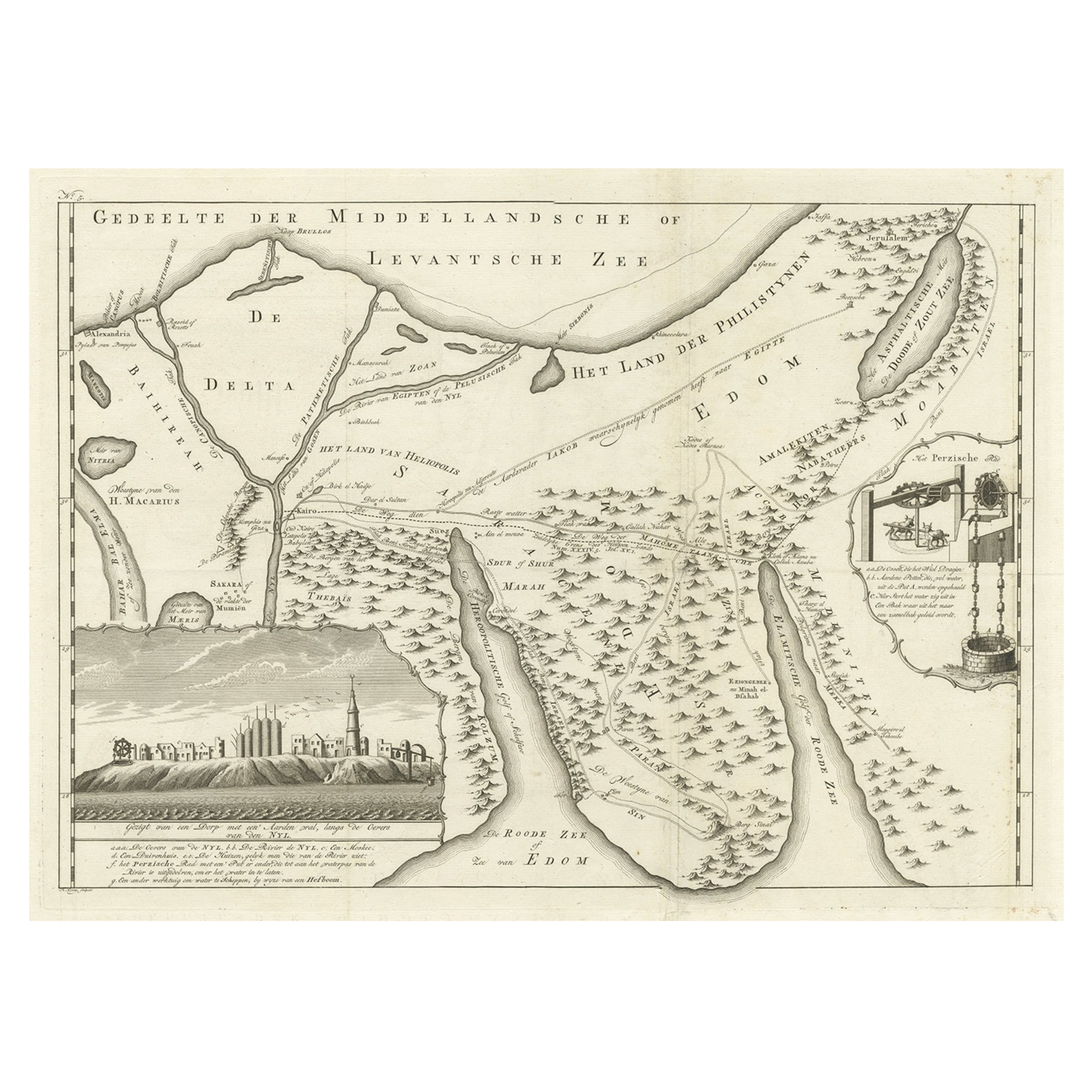
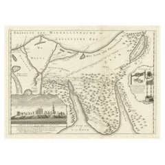
- Old Map of the Sinai Peninsula Showing the Mediterranean and the Red Sea, 1773Located in Langweer, NLAntique map of the Sinai Peninsula showing the Mediterranean Sea to the north and the Red Sea to the south. The map is decorated with images of a Persian wheel and a view of a vi...Category
Antique 1770s Maps
MaterialsPaper

Recently Viewed
View AllMore Ways To Browse
Antique Maritime Nautical
Maps Of Mediterranean
Antique Nautical Prints
Antique Map Mediterranean
Maritime Map
Nautical Antique Plates
Antique Nautical Maps
Antique Nautical Map
Map Mediterranean
Framed Map Of Paris
Antique Mediterranean Map
Mediterranean Sea Map
Maps By Zannoni
Antique Banc
Banc De France
Dan Rizzi
Collectable Brass Ship
Antique Wooden Ships