Items Similar to 1868s globe published by Verlag Dietrich Reimer by cartographer Carl Adami

Want more images or videos?
Request additional images or videos from the seller
1 of 21
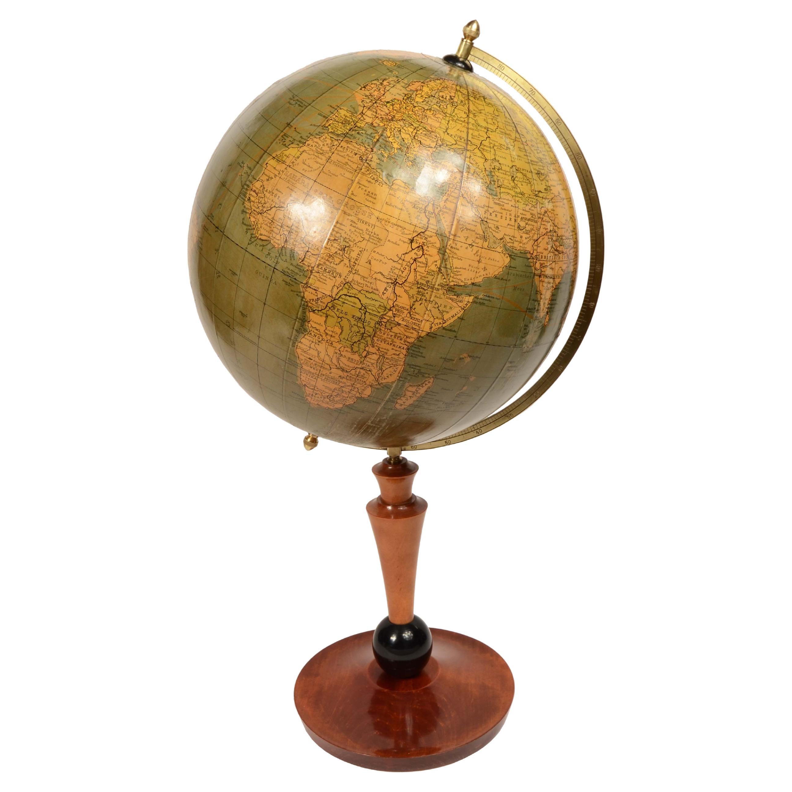
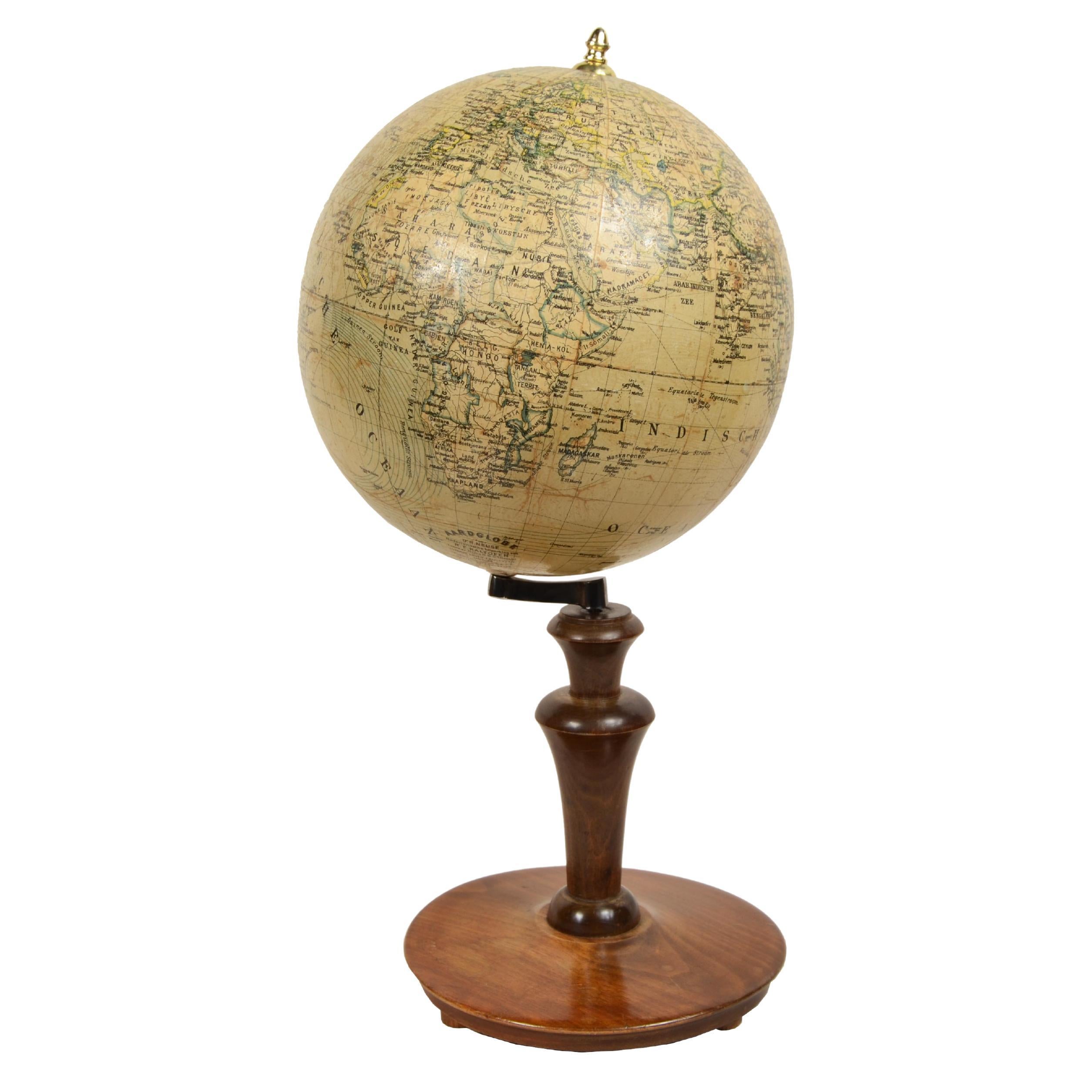
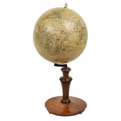
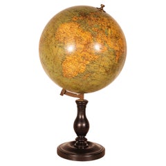
1868s globe published by Verlag Dietrich Reimer by cartographer Carl Adami
$11,691.04
£8,642.22
€9,800
CA$16,216.08
A$17,679.07
CHF 9,341.28
MX$217,410.95
NOK 116,151.28
SEK 109,341.04
DKK 74,621.96
About the Item
Terrestrial Globe published in 1868 by Verlag Dietrich Reimer by cartographer Carl Adami. Ebonized wood basket tripod base with compass at base, sphere made of papier mache and plaster covered with copper plate etching paper. In addition to the very well delineated territorial map, the main trade routes of the period are shown, terrestrial sphere complete with engraved brass meridian circle.
Height 74 cm - 29.1 inch, base diameter 46 cm - 16.5 inch, sphere diameter 30 cm - 11.8 inch.
Good condition and good readability
Carl Adami (1802-1874) founded Adami and Co. in Berlin with a military friend and began selling globes in 1838. He was famous for his 34-cm terrestrial globes of 1838. In 1852 Dietrich Reimer took over the company, but Adami continued to work as a cartographer.
The firm Verlag Dietrich Reimer (1818-1899) was an important globe manufacturer between the 19th and 20th centuries, founded in Berlin in 1845. In 1852 the firm bought C. Adami & Co., another globe-making firm, and so Adami (1802-1874) became a cartographer for Reimer, updating the firm's globes. That same year Heirich Kiepert (1818-1899) was hired, and this cartographer brought further innovations to the design of the Reimer globes. Reimer retired in 1891, and the company continued under the direction of E. Vohsen, producing globes until the 1960s.
The earliest known globe is the one attributed by Strabo, a historian and geographer, to the Greek Cratetes of Mallo (c.a. 150 B.C.). The first globes in the early 16th century were built under the impetus of the great geographical explorations and immediately began to be used for educational purposes at princely courts, monasteries, and colleges; the globe later began to conquer university circles and high and lower schools. In the 18th century, the official geographer of Louis XV King of France, Didier Robert de Vaugondy, thanks to the practice he had gained in globe-making, expanded the "Globe" article of the Encyclopédie by detailing the distinction between a celestial globe (representing the concave surface of the sky with its constellations) and a terrestrial globe (representing instead the surface of the Earth with its seas, islands, rivers, cities, etc.) and the techniques for making them: two papier-mâché hemispheres pressed and molded on or inside a hemispherical mold, dried and strengthened inside with a wooden board, then glued and covered with a thin layer of plaster on which the globe spindles of areas between two meridians, usually twelve, were pasted, made of paper previously printed by engraving on a copper plate and colored, each covering 30 degrees of longitude. It will be with the nineteenth century of great commerce, circulation and the introduction of compulsory schooling that the desire to learn about distant countries will increase, making the old method of globe construction inadequate. Spindles printed from engraved plates no longer suffice, and the only real resource becomes lithography through which it is possible to print and update maps in a timely manner, which as more and more geographical discoveries are made in different countries become obsolete faster and faster.
About the Seller
5.0
Vetted Professional Seller
Every seller passes strict standards for authenticity and reliability
Established in 1999
1stDibs seller since 2014
398 sales on 1stDibs
Typical response time: 2 hours
- ShippingRetrieving quote...Shipping from: Milan, Italy
- Return Policy
Authenticity Guarantee
In the unlikely event there’s an issue with an item’s authenticity, contact us within 1 year for a full refund. DetailsMoney-Back Guarantee
If your item is not as described, is damaged in transit, or does not arrive, contact us within 7 days for a full refund. Details24-Hour Cancellation
You have a 24-hour grace period in which to reconsider your purchase, with no questions asked.Vetted Professional Sellers
Our world-class sellers must adhere to strict standards for service and quality, maintaining the integrity of our listings.Price-Match Guarantee
If you find that a seller listed the same item for a lower price elsewhere, we’ll match it.Trusted Global Delivery
Our best-in-class carrier network provides specialized shipping options worldwide, including custom delivery.More From This Seller
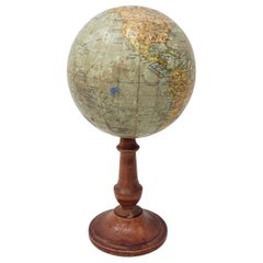
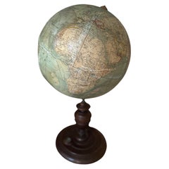
View AllGlobe of the cartographer geographer of the Austro-Hungarian Empire Jan Felkl of 1870
Located in Milan, IT
Tabletop globe made by Austro-Hungarian Empire geographer and cartographer Jan Felkl in the second half of the 19th century.
In addition to the spatial map, ocean currents are shown...
Category
Antique 1870s Globes
Materials
Paper

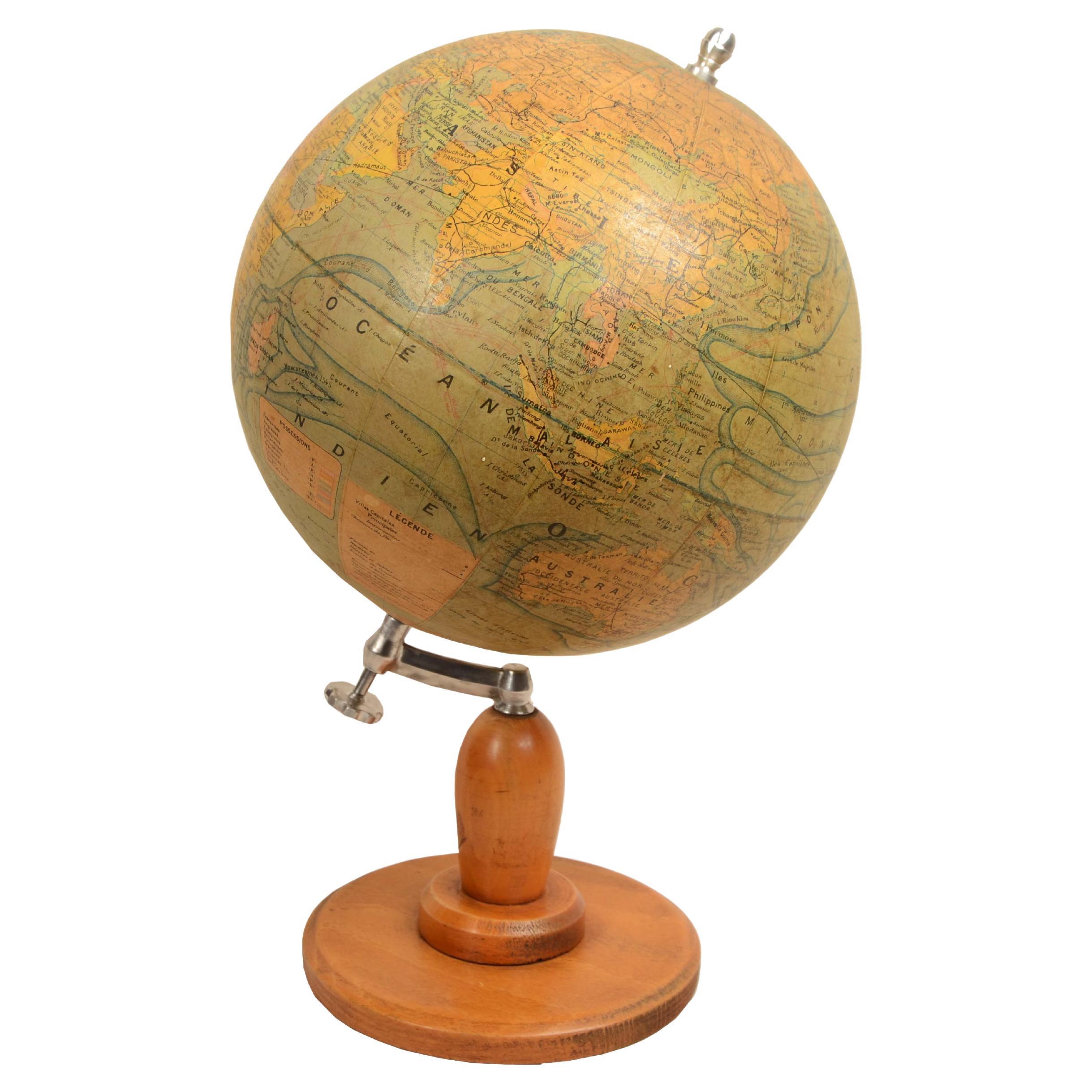
Earth globe edited Räths Politischer Erdglobus drawn and outlined in 1930
Located in Milan, IT
Earth globe edited by Räths Politischer Erdglobus drawn and delineated by Porf Arthur Krause in the 1930s, in addition to the spatial map, ocean currents and major trade routes of th...
Category
Vintage 1930s Globes
Materials
Paper
Earth globe published in about 1930 by French cartographer J. Forest
Located in Milan, IT
Earth globe edited circa 1930 by French cartographer J. Forest edition for the Ministry of Education. In addition to the spatial map, ocean currents and major trade routes of the per...
Category
Vintage 1930s Globes
Materials
Paper
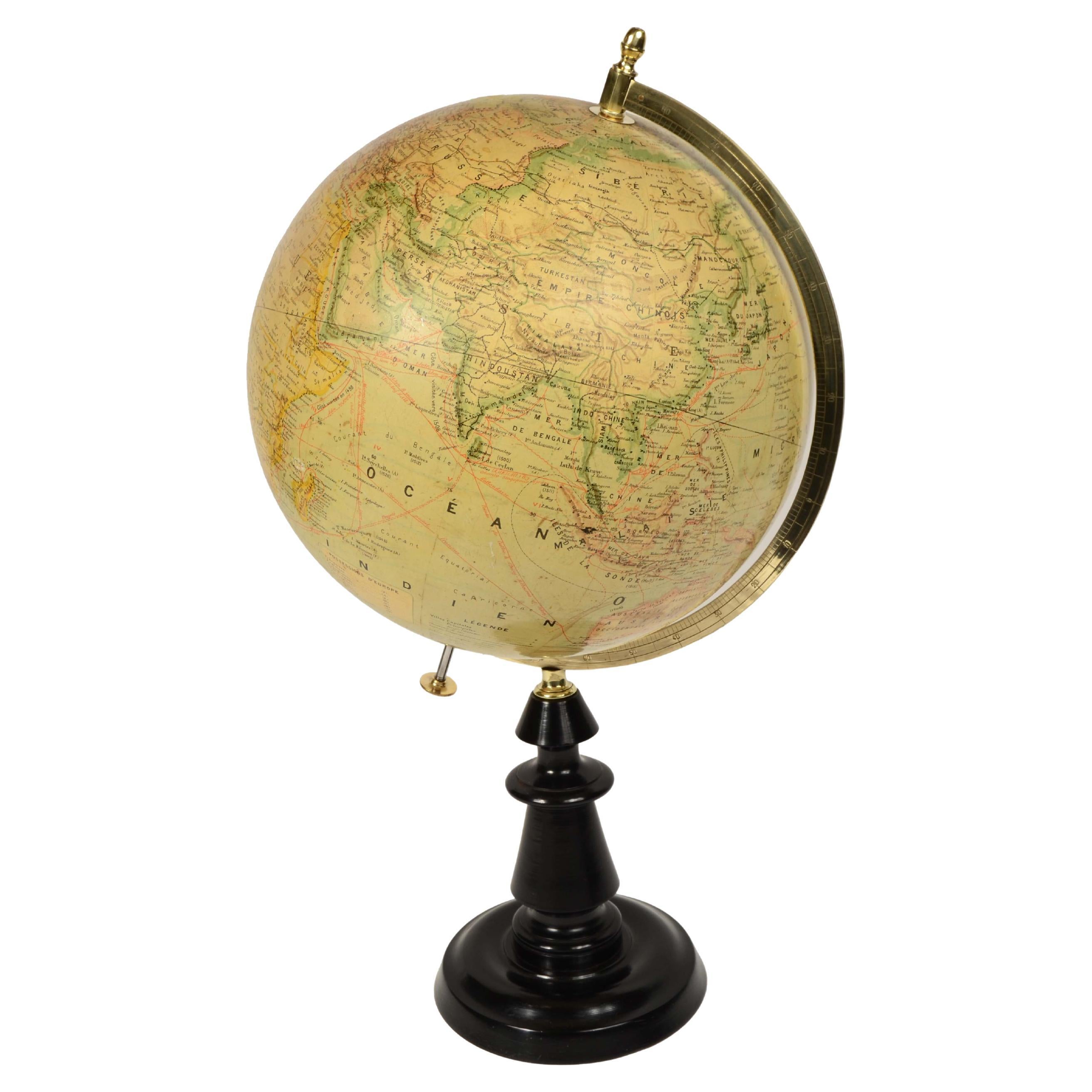
Earth globe published in the late 1800s by the french geographer Joseph Forest
Located in Milan, IT
Earth globe published in the second half of the 19th century by the french geographer Joseph Forest; in addition to the spatial map, ocean currents and major trade routes of the per...
Category
Antique Late 19th Century Globes
Materials
Paper

Earth globe edited for the Dutch market early 1900s Columbus-Verlag G.m.b.H
Located in Milan, IT
Earth globe published for the Dutch market in the early 20th century by the Columbus publishing house, the cartouche reads: Dr. R. Neuse's Aardglobe. Nederlandsche bewerking van R.E....
Category
Antique Early 1900s Globes
Materials
Paper
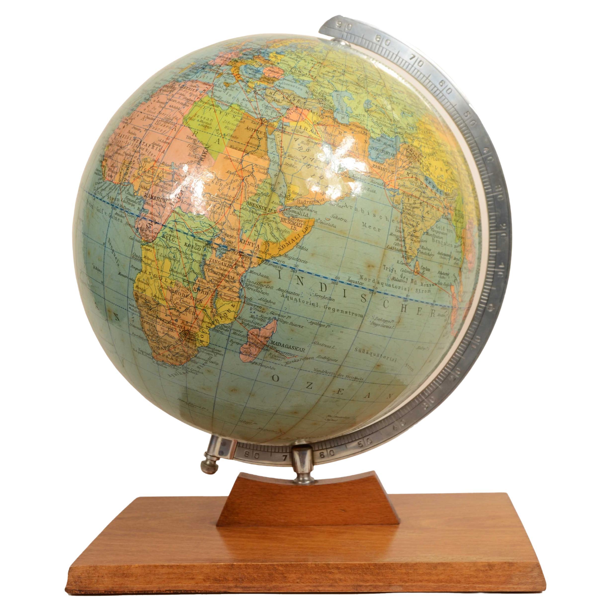
German Cartographic Institute globe Dietrich Reimers Berlin 1954
Located in Milan, IT
Earth globe published by the German cartographic institute Dietrich Reimers Berlin 1954. In addition to the very well delineated spatial map, ocean currents and major trade routes of...
Category
Mid-20th Century Globes
Materials
Paper

You May Also Like
Carl Adami 13 inch terrestrial globe, Berlin, dated 1900.
Located in London, GB
Carl Adami 13 inch terrestrial globe, by Dietrich Reimer, Berlin, Germany, 1900.
“C. ADAMI’S ERDGLODUS neu bearbeitet und gezichnet von H. KIEPERT. Dietrich Reimer, Berlin. 1900 (E....
Category
Antique Late 19th Century German Maps
Materials
Brass

Antique Heymann Globe – Exquisite Cartographic Masterpiece with Compass
Located in Hamburg, DE
This exquisite antique globe, crafted before the outbreak of World War I, is a rare and captivating piece that epitomizes the craftsmanship of its era. Produced by the renowned Ludwi...
Category
Antique 1890s Belle Époque Globes
Materials
Glass, Paper
Antique Terrestrial Globe By G. Thomas, Publisher, Paris, 1890
Located in Bilzen, BE
Terrestrial globe from the end of the 19th century from the house of G. Thomas, Publisher, Paris, 1890
Globe fixed on a central axis connected to a turned black wooden foot.
The glob...
Category
Antique Late 19th Century French Napoleon III Globes
Materials
Wood, Paper
Large French Terrestrial Globe or World Atlas by Girard Et Barrère
Located in Godshill, Isle of Wight
A large French terrestrial globe or world atlas by Girard et Barrère.
This is a very large stylish French terrestrial globe from the 1930...
Category
Vintage 1930s Arts and Crafts Globes
Materials
Beech
Terrestrial Globe By G. Thomas
Located in Brussels, Brussels
Very beautiful Terrestrial Globe from the beginning of the 20th century circa 1910 by G.Thomas publisher Paris
The Terrestrial Globe has a very beautiful blackened wooden base with ...
Category
Early 20th Century French Napoleon III Globes
Materials
Paper
19th Century Terrestrial Globe by G. Thomas, Editeur & Globe Maker, Paris, 1890s
By G. Thomas, Éditeur
Located in San Francisco, CA
Rare 19th century terrestrial globe by G. Thomas, Editeur & Globe Maker, Paris, circa 1890s
The globe sits atop a wooden stand and measures 4" diameter x 6.5" high.
The globe i...
Category
Antique Late 19th Century French Globes
Materials
Paper