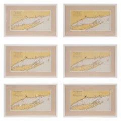
1960s Set of Six Long Island Tidal Current Charts or Maps
View Similar Items


1 of 10
1960s Set of Six Long Island Tidal Current Charts or Maps
About the Item
- Dimensions:Height: 14 in (35.56 cm)Width: 22.5 in (57.15 cm)Depth: 0.75 in (1.91 cm)
- Sold As:Set of 6
- Style:Mid-Century Modern (Of the Period)
- Materials and Techniques:
- Place of Origin:
- Period:
- Date of Manufacture:circa 1960s
- Condition:Wear consistent with age and use. these maps/charts are in good vintage condition with some discoloration of paper consistent with their age. They have been newly matted and framed with high quality materials.
- Seller Location:Culver City, CA
- Reference Number:Seller: B0610018z552zz231stDibs: LU79891475382
Authenticity Guarantee
In the unlikely event there’s an issue with an item’s authenticity, contact us within 1 year for a full refund. DetailsMoney-Back Guarantee
If your item is not as described, is damaged in transit, or does not arrive, contact us within 7 days for a full refund. Details24-Hour Cancellation
You have a 24-hour grace period in which to reconsider your purchase, with no questions asked.Vetted Professional Sellers
Our world-class sellers must adhere to strict standards for service and quality, maintaining the integrity of our listings.Price-Match Guarantee
If you find that a seller listed the same item for a lower price elsewhere, we’ll match it.Trusted Global Delivery
Our best-in-class carrier network provides specialized shipping options worldwide, including custom delivery.You May Also Like
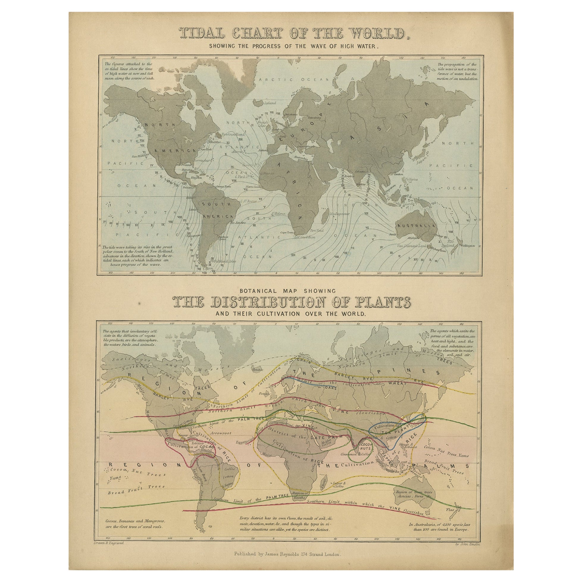
Antique Tidal Chart and Botanical Map, 1843
Located in Langweer, NL
Two antique world maps on one sheet. The upper map is a tidal chart of the world and shows the progress of the wave of high water. The lower botanical map shows the distribution of p...
Category
Antique 19th Century Maps
Materials
Paper
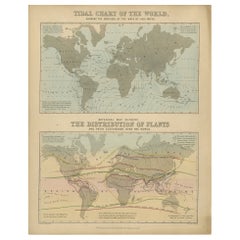
$201 Sale Price
20% Off
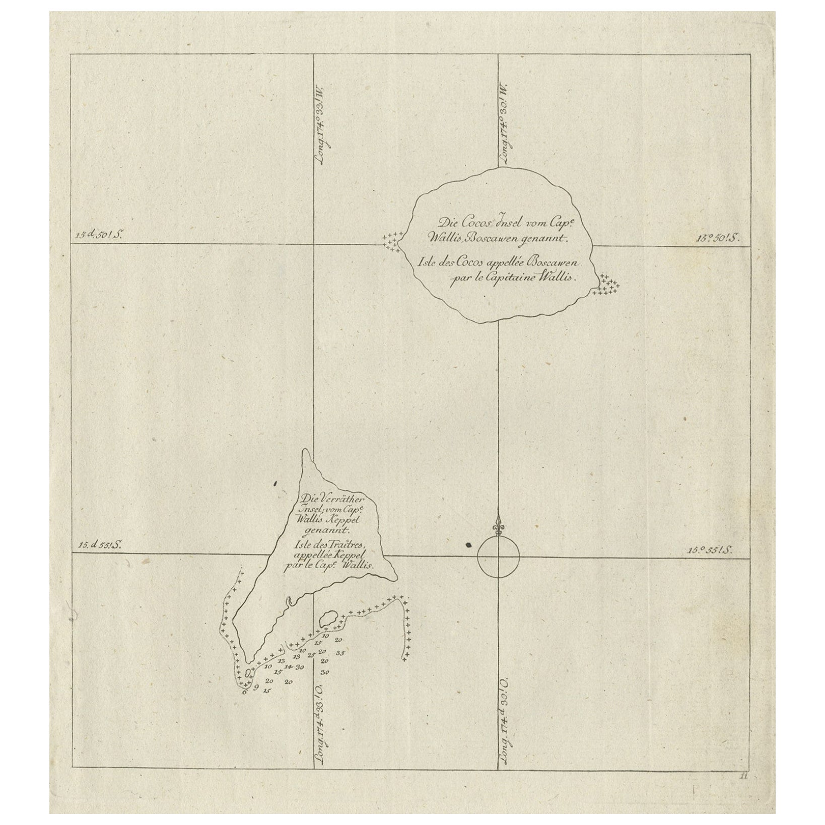
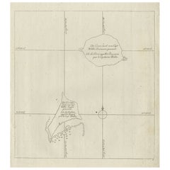
Antique Map of the Cocos or Keeling Islands, 1778
Located in Langweer, NL
Antique map titled 'Die Cocos Insel vom Capt. Wallis Bosawren. Die Verrather Islel von Capt. Wallis Keppel Genannt'. Also with French subtitles. Old map of the Cocos or Keeling Islan...
Category
Antique 18th Century Maps
Materials
Paper
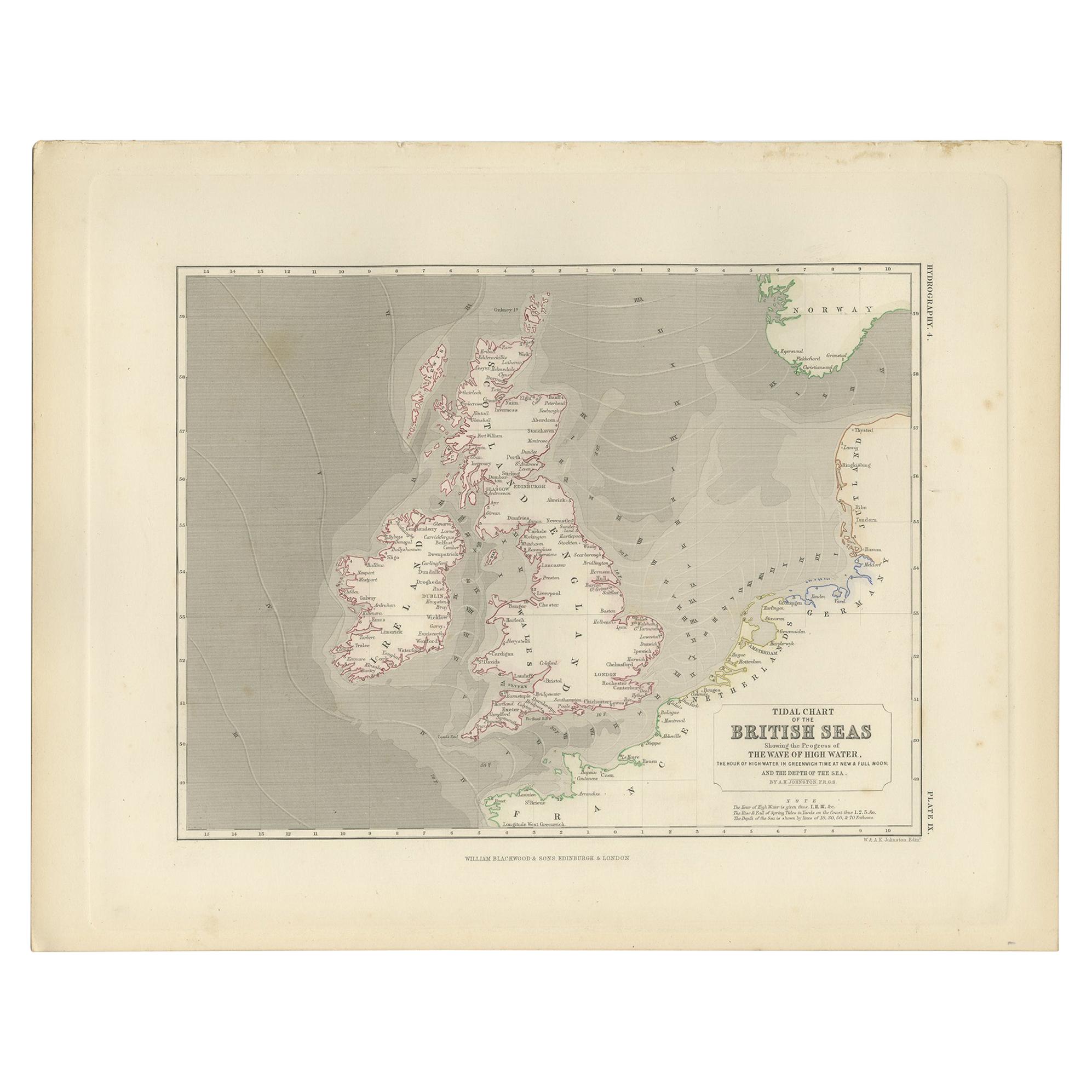
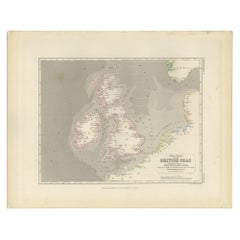
Antique Tidal Chart of the British Seas by Johnston, '1850'
Located in Langweer, NL
Antique map titled 'Tidal Chart of the British Seas showing the progress of the wave of high water'. Original antique tidal chart of the British Seas. This map originates from 'The P...
Category
Antique Mid-19th Century Maps
Materials
Paper
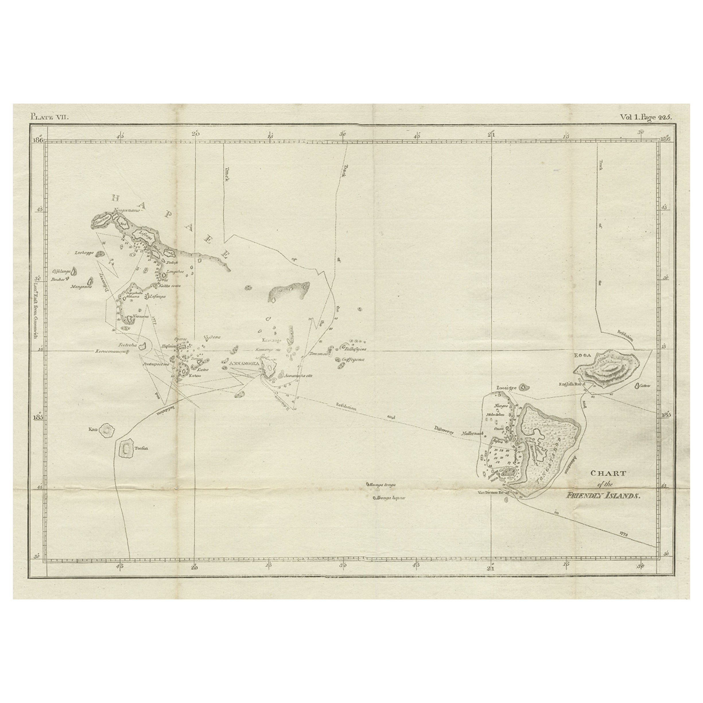
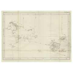
Antique Chart of the Friendly Islands or Nowadays Tonga, by Cook, 1784
By James Cook
Located in Langweer, NL
Antique print titled 'Chart of the Friendly Islands'. Antique map of the Friendly Islands depicting Rotterdam or Anamocka, Middelburg or Eaoowe and Amsterdam or Tongatabu. Originates...
Category
Antique 18th Century Prints
Materials
Paper
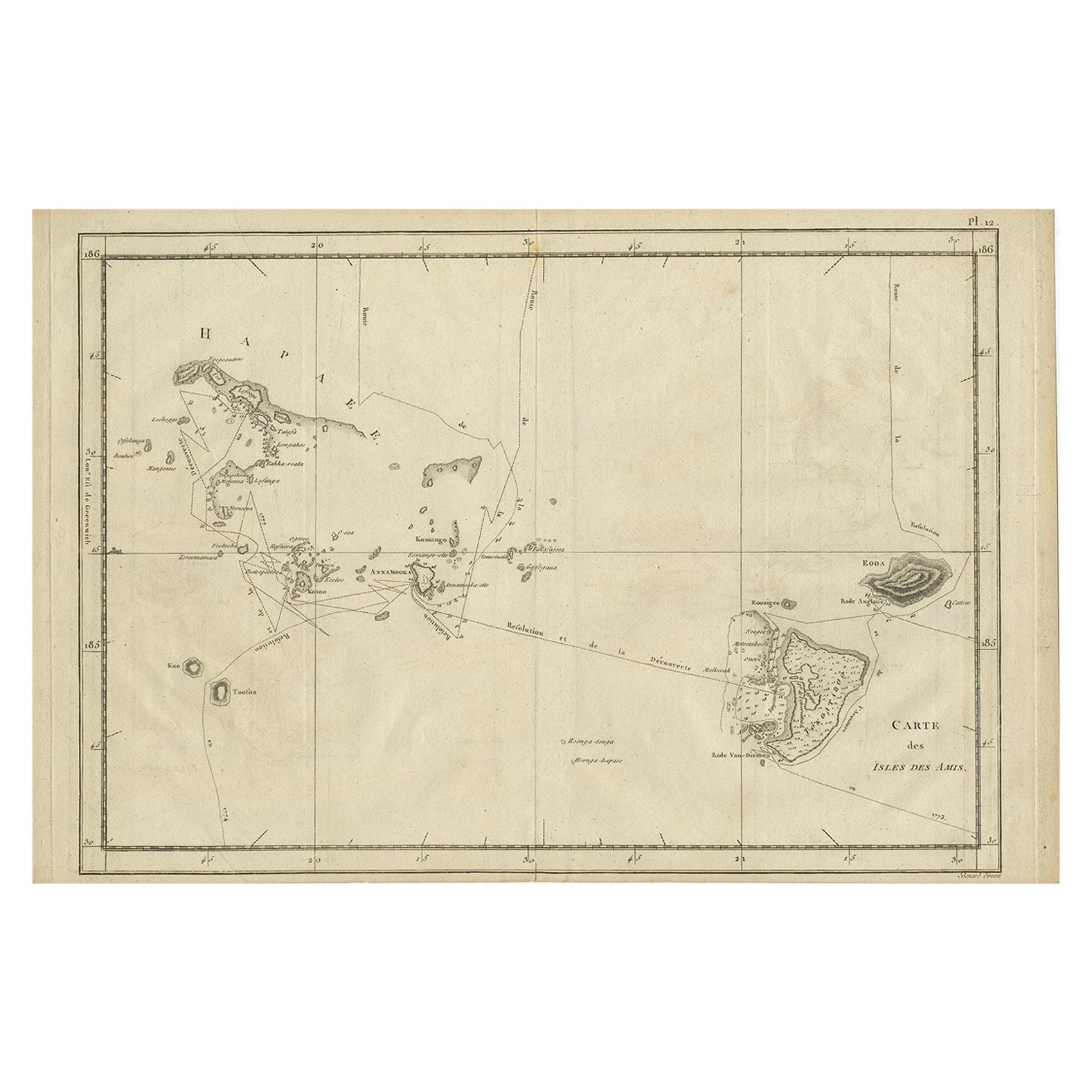
Antique Engraved Map of the Friendly Islands or Tonga, ca.1785
Located in Langweer, NL
Antique map titled 'Carte des Isles des Amis'.
Map of the Friendly Islands / Tonga. The Tongan people first encountered Europeans in 1616 when the Dutch vessel Eendracht, captain...
Category
Antique 1780s Maps
Materials
Paper
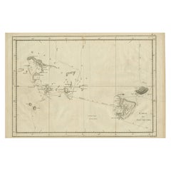
$293 Sale Price
20% Off
Large Sea Chart of the British Islands, 1918
Located in Langweer, NL
Antique map titled 'The British Islands'.
Large sea chart of the British Islands. It shows Ireland, Scotland, England, the Shetland Islands and part of Fra...
Category
Vintage 1910s Maps
Materials
Paper

$514 Sale Price
20% Off