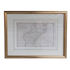
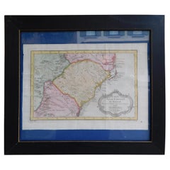
A Rare French Engraved Map of The Southeastern United States. R.Bonne Circa 1780
View Similar Items


Want more images or videos?
Request additional images or videos from the seller
1 of 9
A Rare French Engraved Map of The Southeastern United States. R.Bonne Circa 1780
About the Item
- Creator:Rigobert Bonne (Maker)
- Dimensions:Height: 16.5 in (41.91 cm)Width: 21 in (53.34 cm)Depth: 1 in (2.54 cm)
- Style:Louis XVI (Of the Period)
- Materials and Techniques:
- Place of Origin:
- Period:1780-1789
- Date of Manufacture:Circa 1780
- Condition:Wear consistent with age and use.
- Seller Location:Hollywood, SC
- Reference Number:Seller: # 39831stDibs: LU88723701852
About the Seller
4.7
Vetted Seller
These experienced sellers undergo a comprehensive evaluation by our team of in-house experts.
Established in 1970
1stDibs seller since 2010
398 sales on 1stDibs
Typical response time: 10 hours
More From This SellerView All
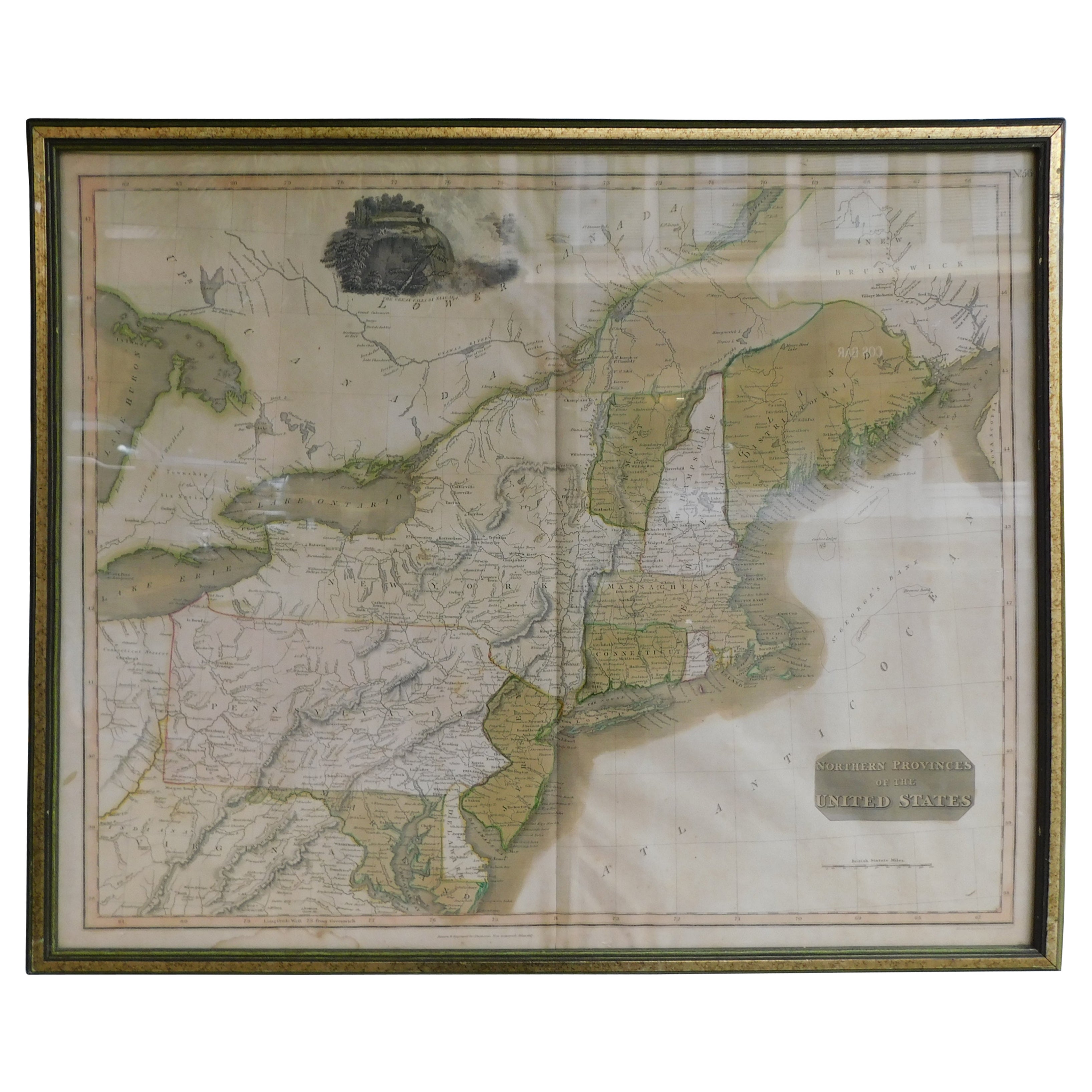
- English Engraved Hand Colored Map of the North Eastern United States, circa 1817Located in Hollywood, SCEnglish copper engraved hand colored map of the North Eastern United States matted under glass in a gilt frame, Early 19th Century. Drawn and Engraved for Thomson's New General Atlas...Category
Antique 1810s English George III Maps
MaterialsPaper, Paint, Giltwood, Glass
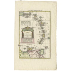
- French Framed Copper Engraved Hand Colored Map of Carolina & Georgia, Circa 1757Located in Hollywood, SCFrench copper engraved hand colored map of Carolina & Georgia matted under glass with a painted frame, mid-18th centuryCategory
Antique 1750s French Louis XV Maps
MaterialsGlass, Wood, Paint, Paper
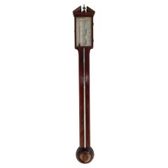
- English Mahogany Steel Engraved Stick Barometer Signed F. Tarone, Circa 1780Located in Hollywood, SCEnglish mahogany stick Barometer with a broken arch pediment, brass urn finial, Satin wood string inlay, hinged glass door revealing a numeral steel engraved dial with original mounted thermometer and barometric pressure gauge. Signed F. Tarone. Late 18th Century Barometer...Category
Antique 1780s English Sheraton Scientific Instruments
MaterialsSteel
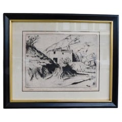
- American Dry Point Engraved Etching Italian House on Hill Side, A. Hutty C 1920By Alfred HuttyLocated in Hollywood, SCAmerican dry point engraved landscape etching Italian House on Hill Side, Alfred H. Hutty, Early 20th centuryCategory
Vintage 1920s American Modern Drawings
MaterialsPaper
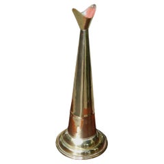
- American Cast Brass Engraved Yachtsman's Speaking Trumpet, Circa 1830Located in Hollywood, SCAmerican hand held cast brass engraved Yachtsman's speaking trumpet with bell shaped soldered mouthpiece, coned-shaped column with original interior red paint, and terminating on a r...Category
Antique 1830s American American Empire Nautical Objects
MaterialsBrass
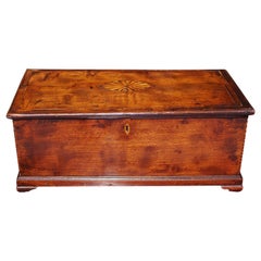
- American Walnut Satinwood Inlaid Valuables Box with Original Feet, Circa 1780Located in Hollywood, SCAmerican Chippendale walnut oval satinwood inlaid valuables box with a carved molded hinged lid revealing an interior till with a secret hidden drawer, e...Category
Antique 1780s American Chippendale Decorative Boxes
MaterialsSatinwood, Walnut

You May Also Like
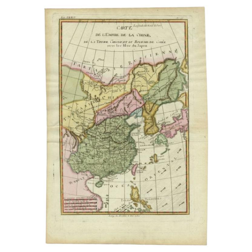
- Antique Map of the Empire of China by Bonne, c.1780By Rigobert BonneLocated in Langweer, NLAntique map titled 'Carte de L'Empire de la Chine.' Decorative map of the Empire of China, depicting China, Corea ( Korea ), Japan, Tonquin and the Philippine island Lucon. Source un...Category
Antique 18th Century Maps
MaterialsPaper
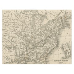
- Steel Engraved Map of the United States with Inset Map of FloridaLocated in Langweer, NLAntique map titled 'United States'. Steel engraved map of the United States. With small inset map of the continuation of Florida. Source unknown, to be determined. Published circa 1843.Category
Antique Mid-19th Century Maps
MaterialsPaper
- Small Map of the United StatesLocated in Langweer, NLAntique map titled 'Amérique septe. Physique'. Small map of the United States. lithographed by C. Callewaert brothers in Brussels circa 1870.Category
Antique Mid-19th Century Maps
MaterialsPaper
- Antique Map of Italy by R. Bonne, circa 1780Located in Langweer, NLBeautiful map of Italy, Corsica, Sardinia and Sicily. Highly detailed, showing towns, rivers, some topographical features and political boundaries. Published by R. Bonne, circa 1780.Category
Antique Late 18th Century Maps
MaterialsPaper
 $219 Sale Price33% Off
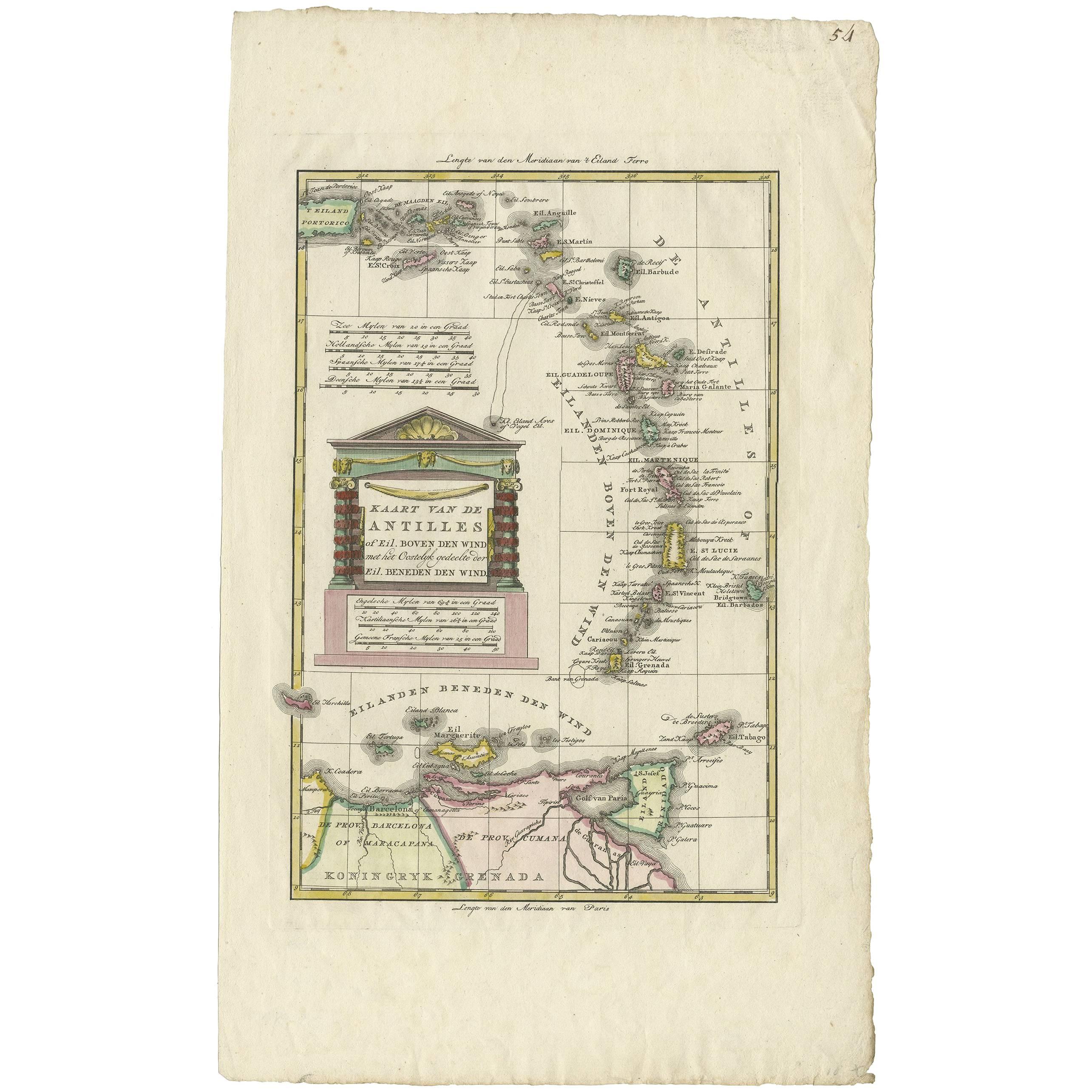
 - Antique Map of the Dutch Antilles 'Caribbean' by R. Bonne, circa 1780Located in Langweer, NLAntique map titled 'Kaart van de Antilles (..)'. Rare edition of this map illustrating the Dutch Antilles (Caribbean). Published by R. Bonne, circa 1780. T...Category
Antique Late 18th Century Maps
MaterialsPaper
 $316 Sale Price20% OffFree Shipping
 - Antique Map of the Arabian Peninsula by Bonne 'c.1780'Located in Langweer, NLAntique map titled 'Carte de l'Arabie, du Golfe Persique, et de la Mer Rouge (..)'. Original antique map of the Arabian Peninsula, including the horn...Category
Antique Late 18th Century Maps
MaterialsPaper


Recently Viewed
View AllMore Ways To Browse
Map Of Virginia
Bonne Map
Antique Virginia Maps
Virginia Antique Map
Antique Map Virginia
Antique Maps Virginia
Antique Virginia Map
Antique Maps Of Virginia
Antique Map Of Virginia
Antique Georgia Maps
Georgia Map
Antique Georgia Map
Framed Map Of Paris
Maps Of Georgia
Antique Map Of Georgia
Carolina Map
Antique Maps North Carolina
Antique Maps Of North Carolina