Items Similar to Late 20th Century Educational Geographic Map - Atlantic Currents

Want more images or videos?
Request additional images or videos from the seller
1 of 9
Late 20th Century Educational Geographic Map - Atlantic Currents
$130.89
£95
€111.67
CA$181.12
A$199.68
CHF 104.47
MX$2,449.75
NOK 1,315.04
SEK 1,229.77
DKK 833.93
About the Item
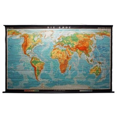
Late 20th Century Educational Geographic Map – Atlantic Currents
Late 20th Century Educational Geographic Map – Atlantic Currents. Good quality roll up school educational geographic map from the Czech republic. The map is printed on a cotton canvas that has been sealed with a clear lacquer.
WORKSHOP REPORT
Our workshop team inspect every product and carry out any needed repairs to ensure that everything leaves us serviced and maintained ready for many more years of life. All of our vintage products show the rich beauty and history of their life with the knocks and bumps of many years of use and we try to minimise restoration to keep every piece as original as possible.
Date: Late 20th Century
Maker: Industrial Production - Czech
Dimensions: L 1 x W 115 x H 163 cm
- Dimensions:Height: 64.18 in (163 cm)Width: 45.28 in (115 cm)Depth: 0.4 in (1 cm)
- Materials and Techniques:
- Place of Origin:
- Period:
- Date of Manufacture:Late 20th Century
- Condition:Refinished. Wear consistent with age and use.
- Seller Location:Hook, GB
- Reference Number:Seller: 17281stDibs: LU4494237880472
About the Seller
4.7
Vetted Professional Seller
Every seller passes strict standards for authenticity and reliability
Established in 2017
1stDibs seller since 2019
489 sales on 1stDibs
Typical response time: 18 hours
- ShippingRetrieving quote...Shipping from: Hook, United Kingdom
- Return Policy
Authenticity Guarantee
In the unlikely event there’s an issue with an item’s authenticity, contact us within 1 year for a full refund. DetailsMoney-Back Guarantee
If your item is not as described, is damaged in transit, or does not arrive, contact us within 7 days for a full refund. Details24-Hour Cancellation
You have a 24-hour grace period in which to reconsider your purchase, with no questions asked.Vetted Professional Sellers
Our world-class sellers must adhere to strict standards for service and quality, maintaining the integrity of our listings.Price-Match Guarantee
If you find that a seller listed the same item for a lower price elsewhere, we’ll match it.Trusted Global Delivery
Our best-in-class carrier network provides specialized shipping options worldwide, including custom delivery.More From This Seller
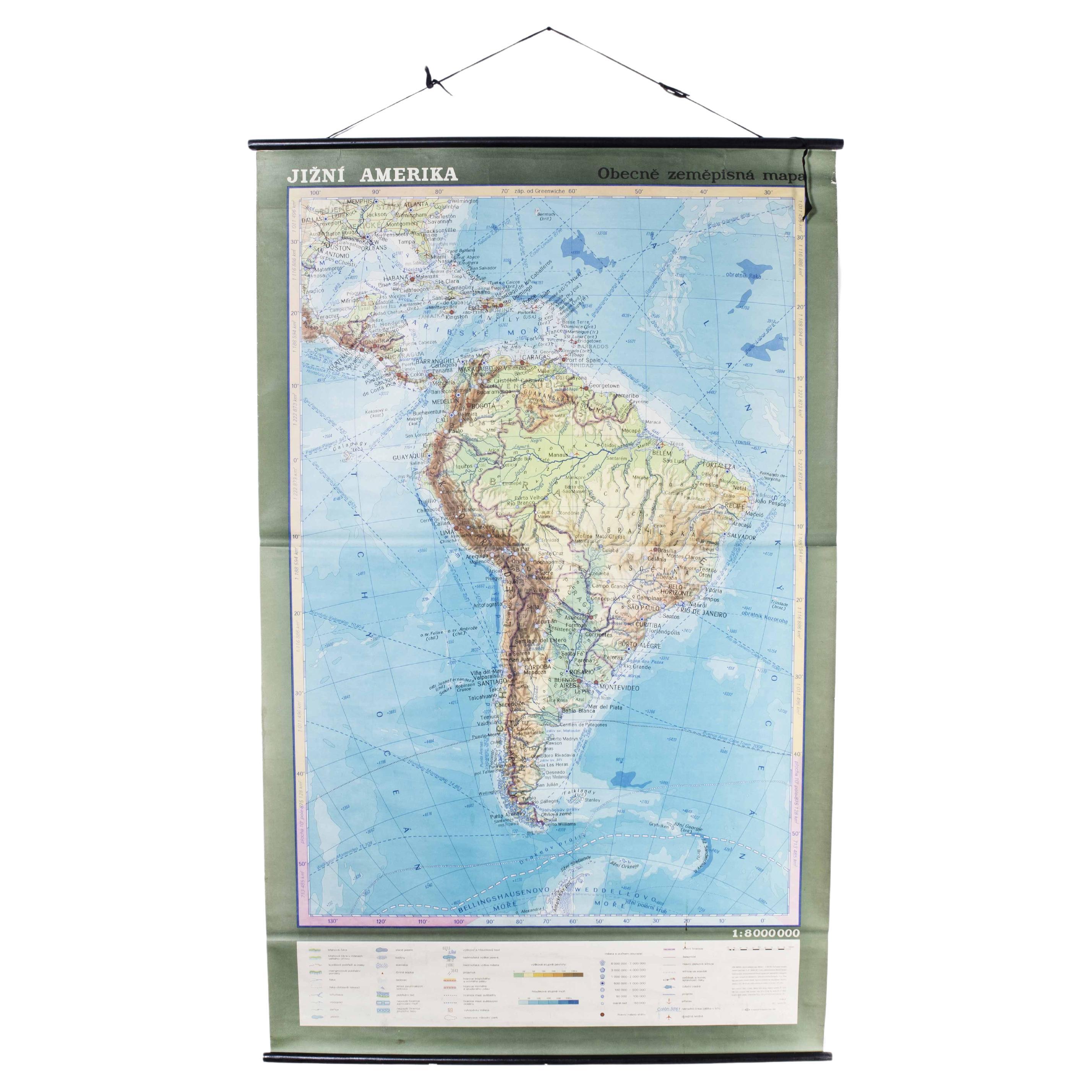
View AllLate 20th Century Educational Geographic Map - South African Topography (1728.4)
Located in Hook, Hampshire
Late 20th Century Educational Geographic Map – South African Topography (1728.4)
Late 20th Century Educational Geographic Map – South African Topograp...
Category
Late 20th Century Czech Posters
Materials
Cotton
Late 20th Century Educational Geographic Map - South African Topography (1728.5)
Located in Hook, Hampshire
Late 20th Century Educational Geographic Map – South African Topography (1728.5)
Late 20th Century Educational Geographic Map – South African Topograp...
Category
Late 20th Century Czech Posters
Materials
Cotton
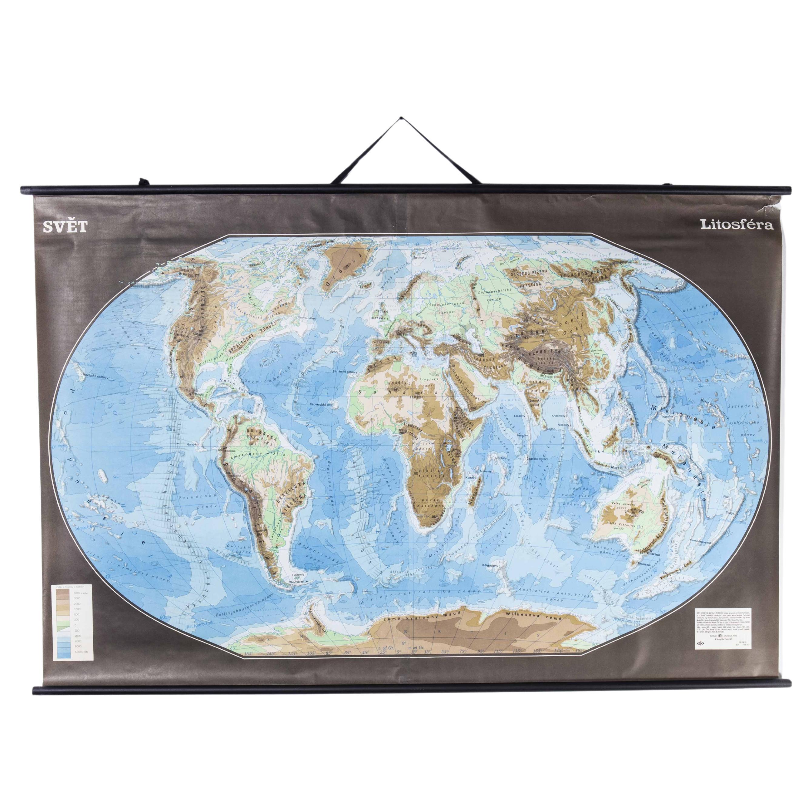
Late 20th Century Educational Geographic Map - Earths Lithosphere
Located in Hook, Hampshire
Late 20th Century Educational Geographic Map – Earths Lithosphere
Late 20th Century Educational Geographic Map – Earths Lithosphere. Good quality roll up school educational geographi...
Category
Late 20th Century Czech Posters
Materials
Cotton

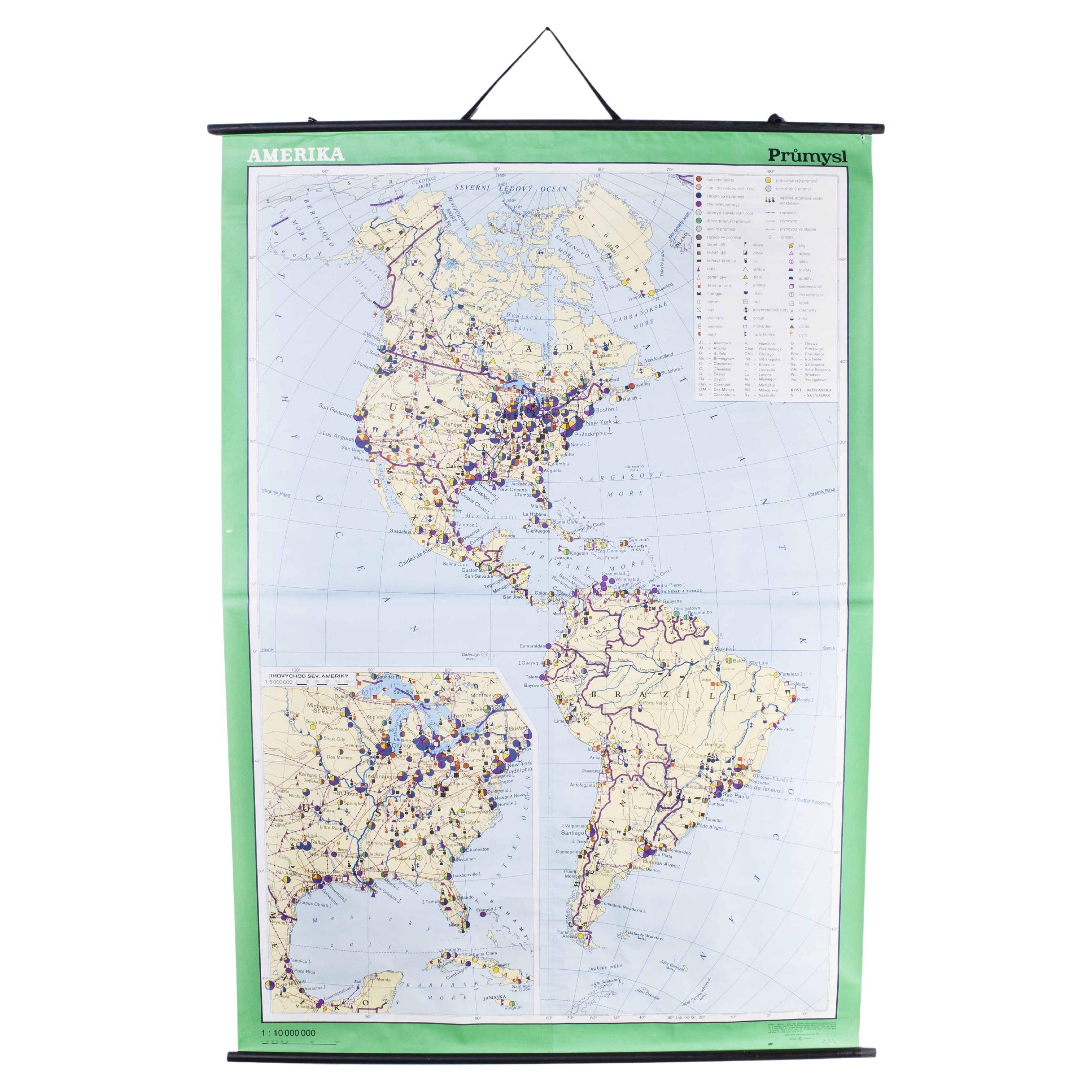
Late 20th Century Educational Geographic Map - Continent Of Americas Industry
Located in Hook, Hampshire
Late 20th Century Educational Geographic Map – Continent Of Americas Industry
Late 20th Century Educational Geographic Map – Continent Of Americas Industry. Good quality roll up scho...
Category
Late 20th Century Czech Posters
Materials
Cotton
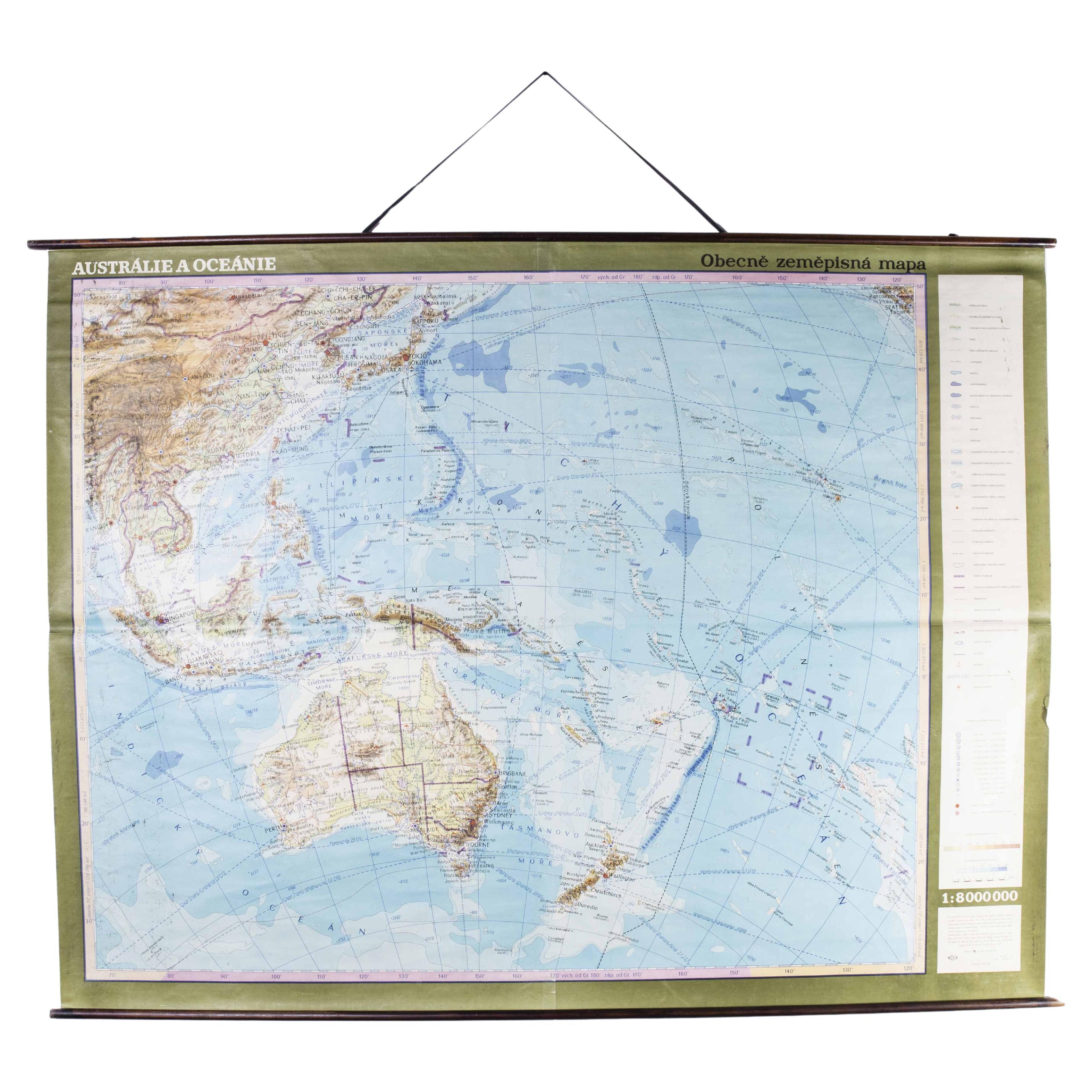
Late 20th Century Educational Geographic Map - Australasia
Located in Hook, Hampshire
Late 20th Century Educational Geographic Map – Australasia
Late 20th Century Educational Geographic Map – Australasia. Good quality roll up school educational geographic map from the...
Category
Late 20th Century Czech Posters
Materials
Cotton

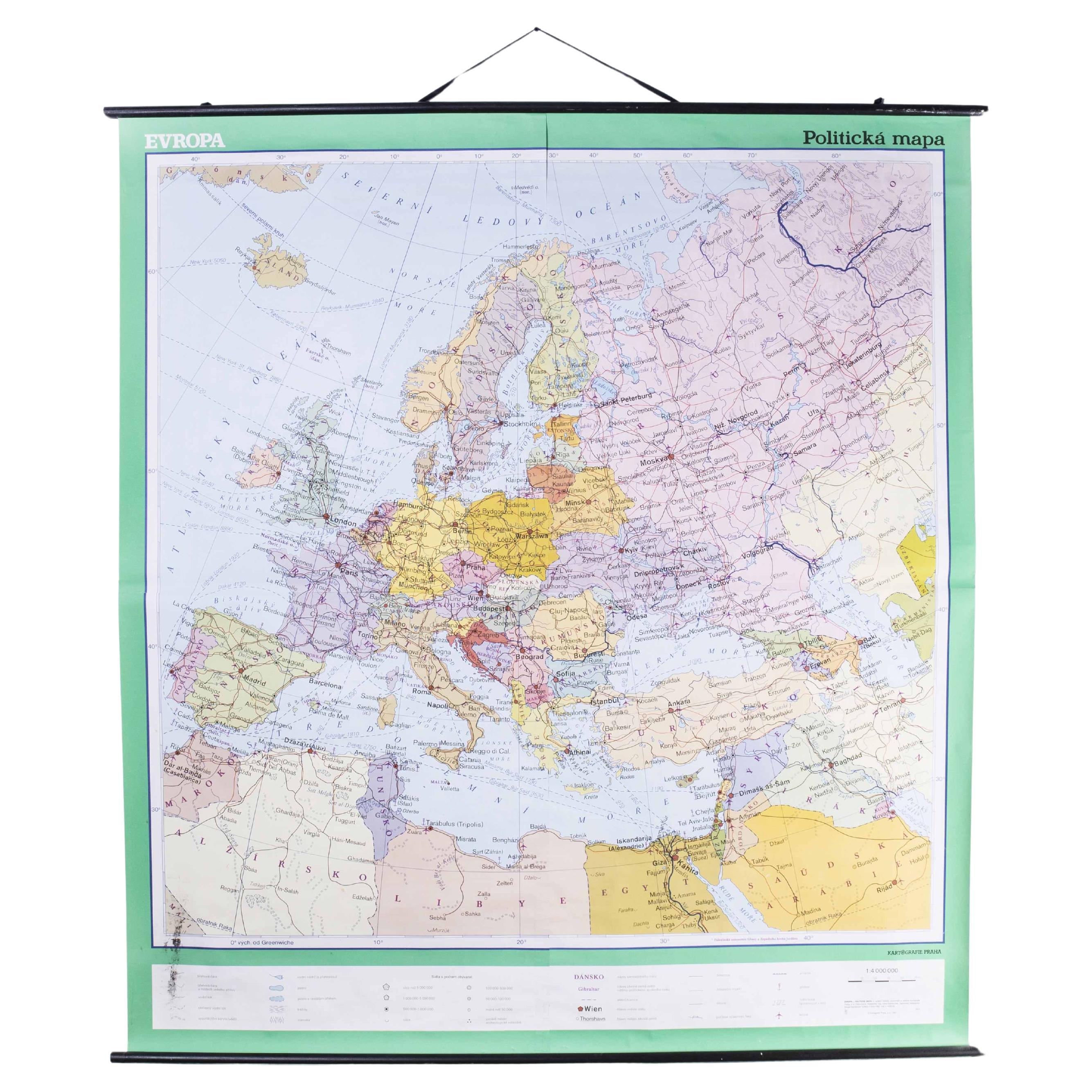
Late 20th Century Educational Geographic Map - European Countries
Located in Hook, Hampshire
Late 20th Century Educational Geographic Map – European Countries
Late 20th Century Educational Geographic Map – European Countries. Good quality roll up s...
Category
Late 20th Century Czech Posters
Materials
Cotton

You May Also Like
Vintage Mural World Map Earth Poster Pull-Down Wall Chart Poster Print
Located in Berghuelen, DE
A large decorative world map – named our earth, impressive wall chart decoration, published by Justus Perthes. Colorful print on paper reinforced with canvas.
Measurements:
Width 210 cm (82.68 inch)
Height 126,50cm (49.80 inch)
The measurements shown refer just to the canvas and do not include the poles.
Background information on the history of school wall charts:
The idea to upgrade every day school life by using pictures was supported in the late 18th century by Johann Bernhard Basedow. In 1774 he published a four-volume book "Elementarwerk" which combined pictures, text and information with merely hundred copperplates. Modern printing methods enabled the spread from rich private schools to rural grade schools. From 1820-1836 the oldest mentioned series of wall charts were published with the range of six booklets including 63 large sized charts...
Category
Vintage 1970s German Country Prints
Materials
Canvas, Wood, Paper
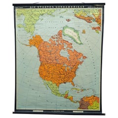
Vintage Map Wall Chart Countries of North America Rollable Mural Poster
Located in Berghuelen, DE
The vintage pull-down school map illustrates the countries / states of North America. Published by Haack-Painke Justus Perthes Darmstadt. Colorful print on paper reinforced with canv...
Category
Late 20th Century German Country Prints
Materials
Canvas, Wood, Paper
United States 50’s Roll Up Map
Located in Philadelphia, PA
United States Roll Up Map. In nice original condition. Roll-up Function even works! Great Colors! Some losses to edges, canvas backing shows edge wear.
Category
Vintage 1950s American Mid-Century Modern Posters
Materials
Metal
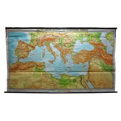
Vintage Mural Map Mediterranean Sea Near East Countries Rollable Wall Chart
Located in Berghuelen, DE
A large countrycore pull-down map showing the countries surrounding the Mediterranean Sea, published by Westermann. Colorful print on paper reinforced with canvas.
Measurements:
Width 269 cm (105.91 inch)
Height 149 cm (58.66 inch)
The measurements shown refer just to the canvas and do not include the poles.
Background information on the history of school wall charts:
The idea to upgrade every day school life by using pictures...
Category
Vintage 1970s German Country Prints
Materials
Canvas, Wood, Paper
Original WWII Illustrated Map Poster - Time And Tide Map Of The Atlantic Charter
By "Leslie MacDonald ""Max"" Gill"
Located in London, GB
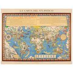
Original vintage illustrated map poster in Spanish by the notable graphic designer, cartographer and artist MacDonald Gill (Leslie MacDonald Gill aka Max Gill; 1884-1947) commissioned by the British Time & Tide magazine (1920-1986) following the World War Two Atlantic Charter agreement between the US President Franklin D. Roosevelt and UK Prime Minister Winston Churchill "for a better future for the world" 14 August 1941 - La Carta del Atlantico. Stunning design featuring detailed colorful pictorial depictions of agriculture and food production, Industrial raw materials and traditional life around the world including images of people, animals, trees, cattle, ships at sea, planes flying overhead and markers with a symbol box listing the locations of metals, wine, crops, petroleum, tobacco, sugar, rubber, silk, coffee, fruit, precious stones etc., surrounded by clouds on the sides and the sun shining down from The Atlantic Charter in the text box at the top with a black and white image below of an Industrial metal worker destroying tanks and machinery and a farming family ploughing a field with horses, the cities, countries, continents and quotes in banners with a seal and a compass point on both sides, all framed within a decorative border. Printed in Great Britain by Philip George & Son Ltd London and published in collaboration with the Time and Tide...
Category
Vintage 1940s British Posters
Materials
Paper
Vintage Wall Chart of a Landscape and Geographic Map, circa 1955
Located in Langweer, NL
Vintage wall chart titled 'Kaart en Landschap'. This wall chart shows a mountain range and geographic map. Published by J.B. Wolters, circa 1955.
Category
Mid-20th Century Prints
Materials
Paper

$573 Sale Price
20% Off
More Ways To Browse
Andy Warhol Chanel No 5
Anselmo Ballester
Bemberg Poster
Brighton Vintage Poster
Broadway Poster
Burgundy Wine Poster
Cachou Lajaunie Poster
Cycles Peugeot
Depero Poster
Diana Rigg
Fellini Poster
Gwr Vintage Railway Posters
Harold And Maude
James Bond Movie Posters Goldfinger
Jean Jacquelin
Lawrence Of Arabia Poster
Louis Vuitton Americas Cup Poster
Maurin Quina