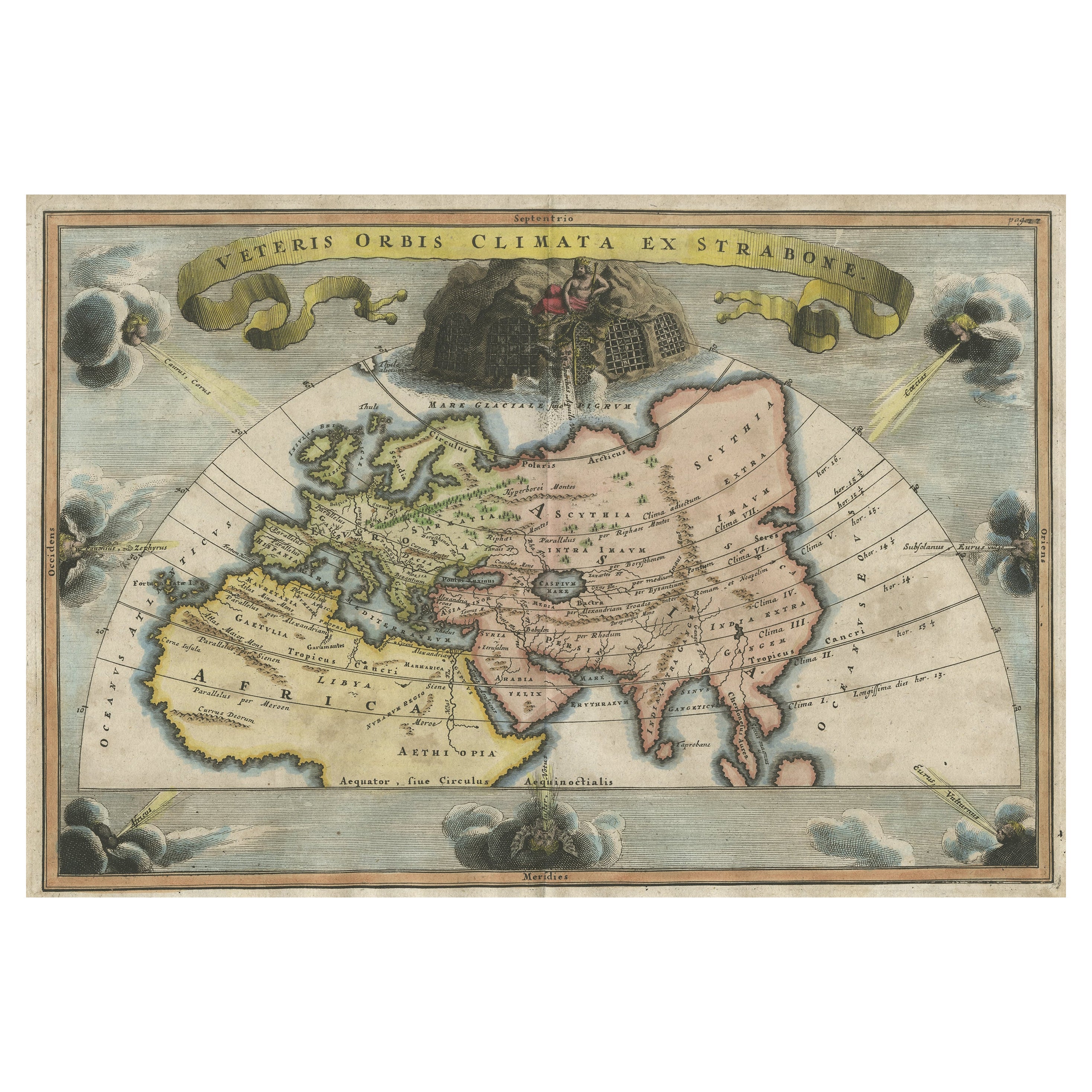
19th Century Graphic with a Hydrographic World Map
View Similar Items

Want more images or videos?
Request additional images or videos from the seller
1 of 11
19th Century Graphic with a Hydrographic World Map
About the Item
- Dimensions:Height: 23.43 in (59.5 cm)Width: 28.94 in (73.5 cm)Depth: 1.97 in (5 cm)
- Place of Origin:
- Period:
- Date of Manufacture:1850-1900
- Condition:
- Seller Location:Opole, PL
- Reference Number:Seller: AB0018151stDibs: LU4074113201621
About the Seller
4.8
Platinum Seller
These expertly vetted sellers are 1stDibs' most experienced sellers and are rated highest by our customers.
Established in 1995
1stDibs seller since 2018
198 sales on 1stDibs
Typical response time: 1 hour
More From This SellerView All
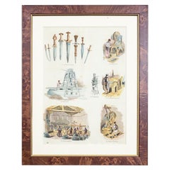
- 20th-Century Graphic / Old CraftsLocated in Opole, PLWe present you this illustration printed from a book, depicting old crafts. This is one of the five graphics from the series on this topic. Each item is framed in passe-partout an...Category
20th Century European Prints
MaterialsGlass, Wood
 $175 Sale Price20% Off
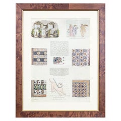
 - 20th Century Graphic / Antique, OrnamentsLocated in Opole, PLWe present you this illustration printed from a book with depictions of antique (architecture, mosaic, ornaments). This is one of the four graphics from the series on this topic. Ea...Category
20th Century European Prints
MaterialsPaper
 $96 Sale Price20% Off
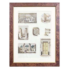
 - 20th-Century Graphic / Antique, ArchitectureLocated in Opole, PLWe present you this illustration printed from a book with depictions of antique (architecture, mosaic, ornaments). This is one of the four graphics from the series on this topic. Ea...Category
20th Century European Prints
MaterialsPaper
 $175 Sale Price20% Off
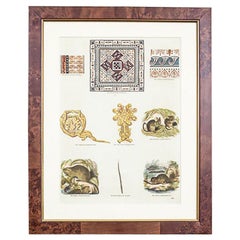
 - 20th-Century Graphic / Antique, MosaicLocated in Opole, PLWe present you this illustration printed from a book with depictions of antique (architecture, mosaic, ornaments). This is one of the four graphics from the series on this topic. Ea...Category
20th Century European Prints
MaterialsPaper
 $96 Sale Price20% Off
 - 20th-Century Graphic / Antique, SculpturesLocated in Opole, PLWe present you this illustration printed from a book with depictions of antique (architecture, mosaic, ornaments). This is one of the four graphics from the series on this topic. Ea...Category
20th Century European Prints
MaterialsPaper
 $175 Sale Price20% Off
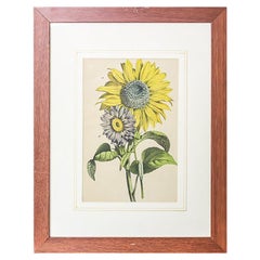
 - 20th Century Colorful Graphic/SunflowersLocated in Opole, PLWe present you one of the six graphics with depictions of garden plants from the same series. This graphic is framed in a wooden frame with glass. Each item from the series is av...Category
20th Century Prints
MaterialsPaper
 $175 Sale Price20% Off
You May Also Like
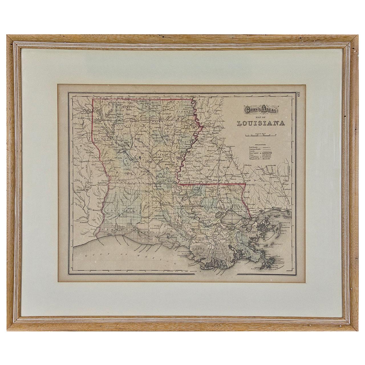
- Louisiana: A Framed 19th Century Map by O. W. GrayBy Gray and CoLocated in Alamo, CAThis framed 19th century map of the Louisiana territory was published in "Gray's Atlas of the United States with General Maps of the World, accompanied by Descriptions Geographical, Historical, Scientific and Statistica" published in 1873 in Philadelphia by O.W. Gray and Son and Stedman, Brown and Lyon. It is a highly detailed map of Louisiana...Category
Antique Mid-19th Century American Other Maps
MaterialsPaper
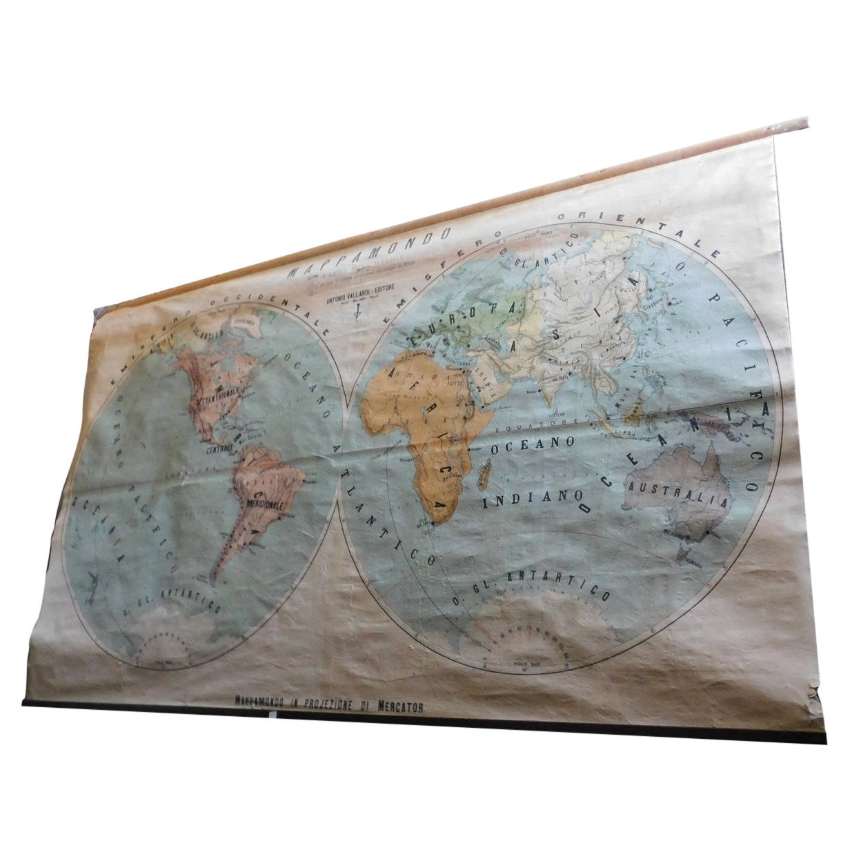
- Vintage Geographical Map of the World Map, Vallardi Milan, Early 20th CenturyLocated in Cuneo, Italy (CN)Vintage geographical map or planisphere, published by Vallardi publisher for the municipality of Milan, printed at the beginning of the 20th century,...Category
20th Century Italian Prints
MaterialsPaper
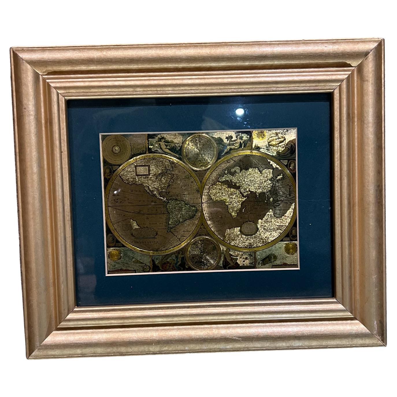
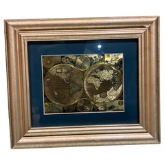
- Late 20th Century Gold Foil World Map Double HemisphereLocated in Chula Vista, CALate 20th Century Gold Foil Ancient World Map Double Hemisphere Gold Foil Old World Framed Map information on reverse of the print. Original vintage ...Category
Late 20th Century English Mid-Century Modern Prints
MaterialsGold
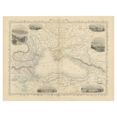
- Mid 19th Century Map of the Black Sea with Decorative Vignettes, 1851Located in Langweer, NLMap of the Black Sea and contingent lands, including Turkey, Russia, Georgia, Azerbaijan, Bulgaria, Crimea and Armenia, with decorative vignettes views of Sebastopol, Varna, Odessa, Sinope, Constantinople and Silistria. Fine antique map...Category
Antique Mid-19th Century Maps
MaterialsPaper
 $393 Sale Price20% Off
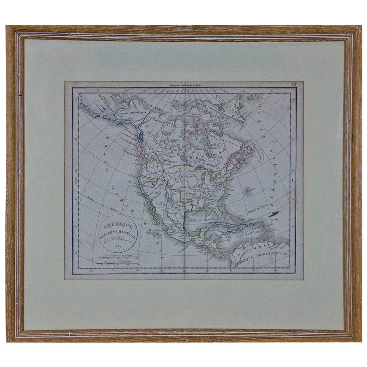
 - America "Amérique Septentrionale": A 19th Century French Map by DelamarcheBy Maison Delamarche 1Located in Alamo, CAThis framed mid 19th century map of North America entitled "Amérique Septentrionale" by Felix Delamarche was published in Paris in 1854 by Quay de l'Horloge du Palais, avec les Carte...Category
Antique Mid-19th Century American Other Maps
MaterialsPaper
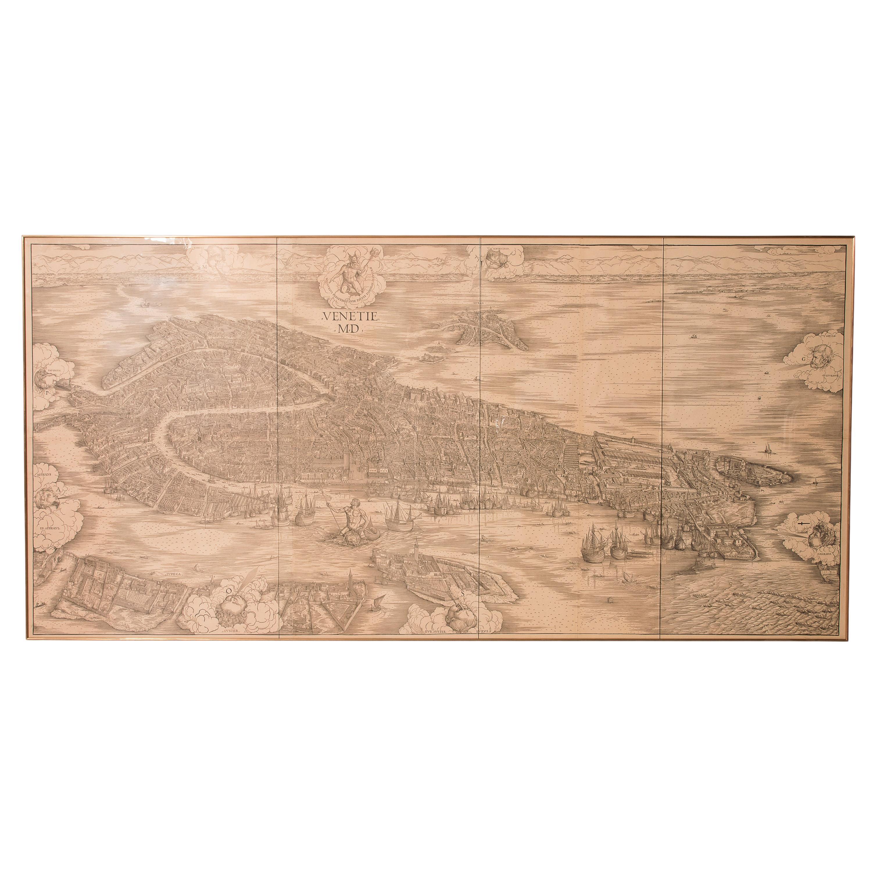
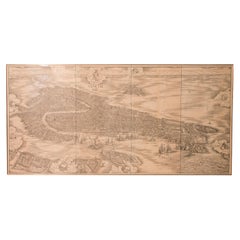
- Huge Mid 19th century Six Panels Venice Map EngravingLocated in ITPerspective view of Venice in the 1500s by Jacopo de Barbari. Re-edition of the original . this is from mid-19th century on yellowed laid paper. The blown glasses are from the period...Category
Antique Mid-19th Century Italian Prints
MaterialsPaper


Recently Viewed
View AllMore Ways To Browse
Antique Garden Engraving
Large Wall Maps
French Neoclassical Prints
Lithograph Hand Colored Antique
Antique Print Of River
Framed Picasso Print
Vintage Childrens Blocks
Antique Dutch Portraits
Botanical Prints Vintage Botanical Prints
Framed Chart
Antique Portrait Plate
Fern Wood
Ceylon Antique Furniture
Antique Roman Engravings
Italian Advertisement
Retro Furniture Cincinnati
Pair Of Prints Small
Framed Set Of Six Prints