Items Similar to Antique Plan of the Fortifications of Lleida, Spain
Want more images or videos?
Request additional images or videos from the seller
1 of 6
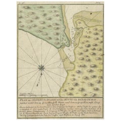
Antique Plan of the Fortifications of Lleida, Spain
About the Item
Antique print titled 'Plan of the Town and Castle of Lerida, with the Approaches Made Before It by the French & Spanish Armies Under the Command of the D. of Orleans During the Siege Began Oct. 2, 1707'. This fine plan illustrates the extensive fortifications of Lleida situated on the banks of the river Segre in northwestern Catalan. It depicts the siege of the city in October 1707.
Originates from 'Tindal's Continuation of Mr. Rapin's History'. Nicolas Tindal translated Paul de Rapin's History of England into English shortly after the French edition's release (1724-1727), and would later add volumes covering the reign of James VI and I (1566-1625) to George I (1660-1727) which represent the "continuation." These plans depict the fortifications of Spanish towns that were the sites of conflict during the War of the Spanish Succession. Each includes an ornate cartouche containing a key to important locations. Engraved by J. Basire.
- Dimensions:Height: 15.28 in (38.8 cm)Width: 19.85 in (50.4 cm)Depth: 0.02 in (0.5 mm)
- Materials and Techniques:
- Period:
- Date of Manufacture:c.1745
- Condition:Age-related toning. Original folding line. Shows some wear, soiling and staining. Blank verso. Please study image carefully.
- Seller Location:Langweer, NL
- Reference Number:
About the Seller
5.0
Platinum Seller
These expertly vetted sellers are 1stDibs' most experienced sellers and are rated highest by our customers.
Established in 2009
1stDibs seller since 2017
1,919 sales on 1stDibs
Typical response time: <1 hour
- ShippingRetrieving quote...Ships From: Langweer, Netherlands
- Return PolicyA return for this item may be initiated within 14 days of delivery.
More From This SellerView All
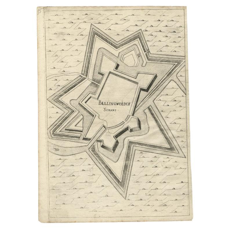
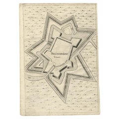
- Antique Map of Fortification of Bellingwolderschans, The Netherlands, 1673Located in Langweer, NLAntique map titled 'Bellingwolderschans'. Original map of the fortification of Bellingwolderschans, the Netherlands. This map originates from 'Teatro del Belgio', by G. Gualdo Priora...Category
Antique 17th Century Maps
MaterialsPaper
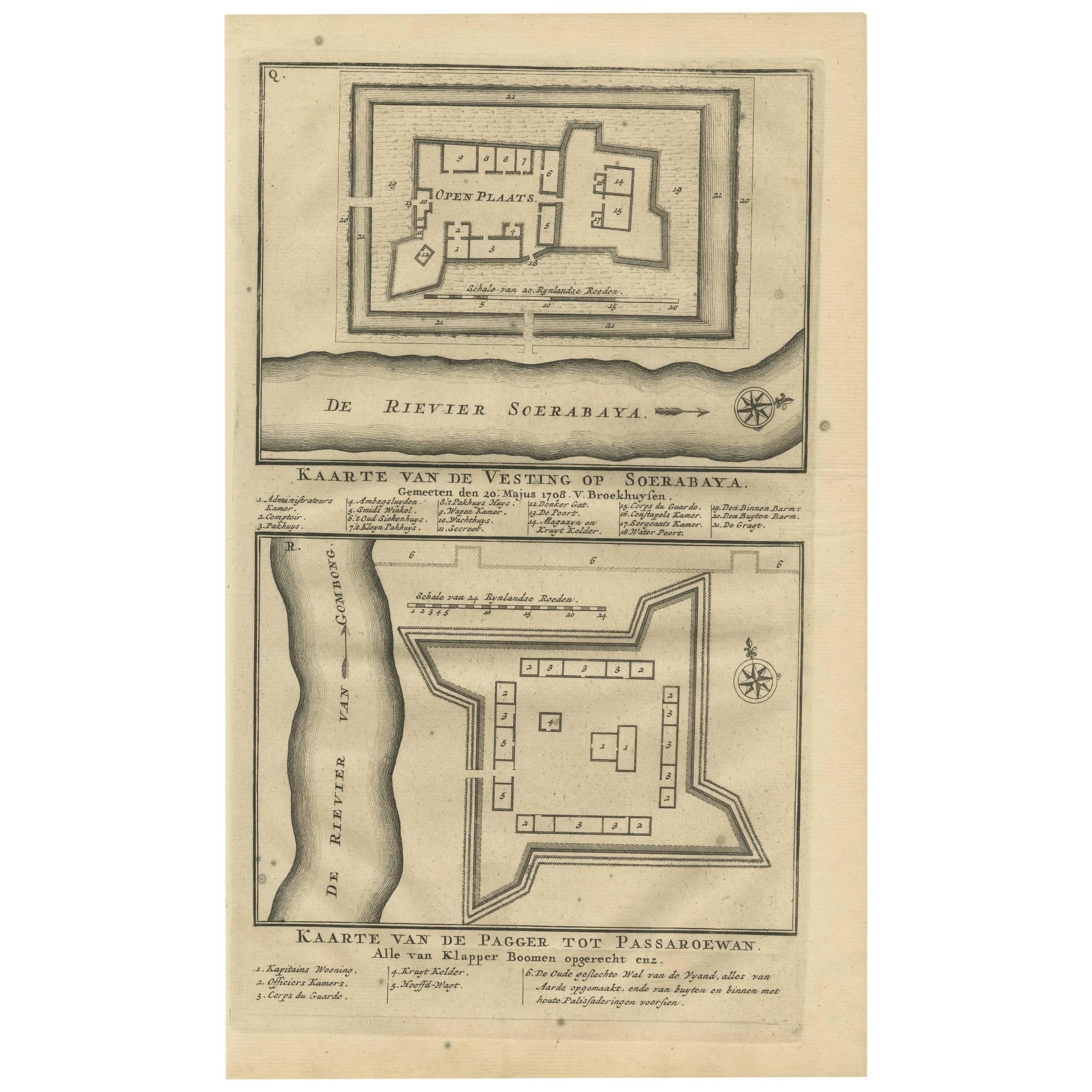
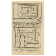
- Antique Print of the Fortification of Surabaya and Pasuruan, IndonesiaLocated in Langweer, NLA plan of the fortress on Surabaya, and a plan of the fortification (pagger or pagar) of Pasuruan. From the monumental: "Oud en Nieuw Oost-Indiën" by François Valentyn / Valentijn, p...Category
Antique Early 18th Century Prints
MaterialsPaper
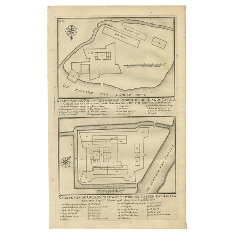
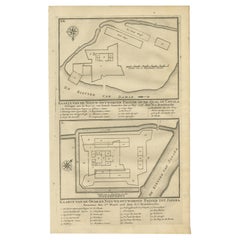
- Antique Print of the Fortifications of Demak and Jepara, Java, Indonesia, 1726Located in Langweer, NLAntique print titled 'Kaarte van de Nieuw ontworpen Pagger op de Qual of Cawala. Kaarte van de Oude en Nieuwe ontworpen Pagger tot Japara'. Plans of the newly designed fortifications...Category
Antique 18th Century Prints
MaterialsPaper
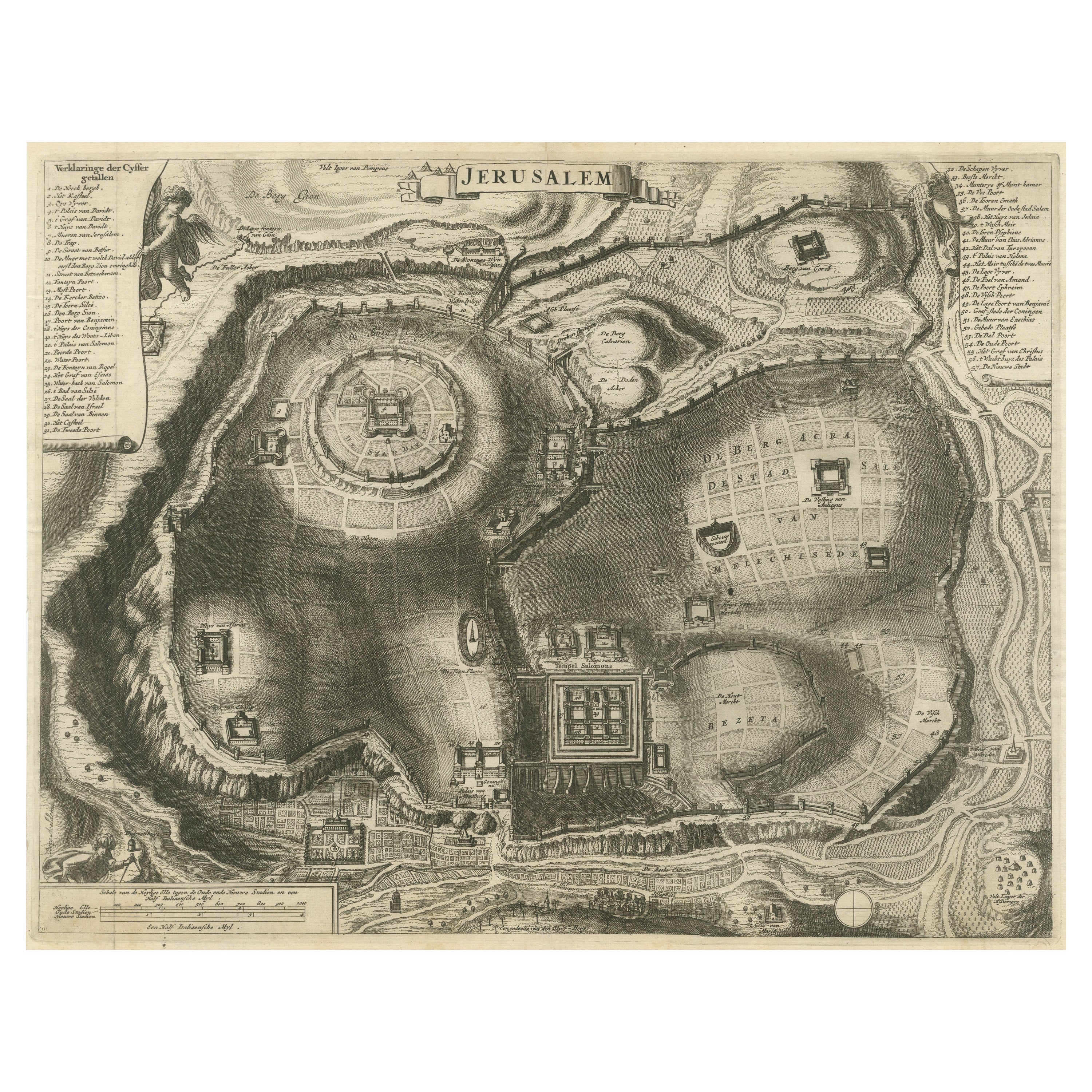
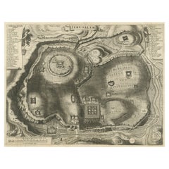
- Antique Plan of the City of JerusalemLocated in Langweer, NLAntique map titled 'Jerusalem.' Plan of the ancient city of Jerusalem. With extensive key and scale. Source unknown, to be determined. Cornelis de Bruijn (also spelled Cornelius de ...Category
Antique Late 17th Century Prints
MaterialsPaper
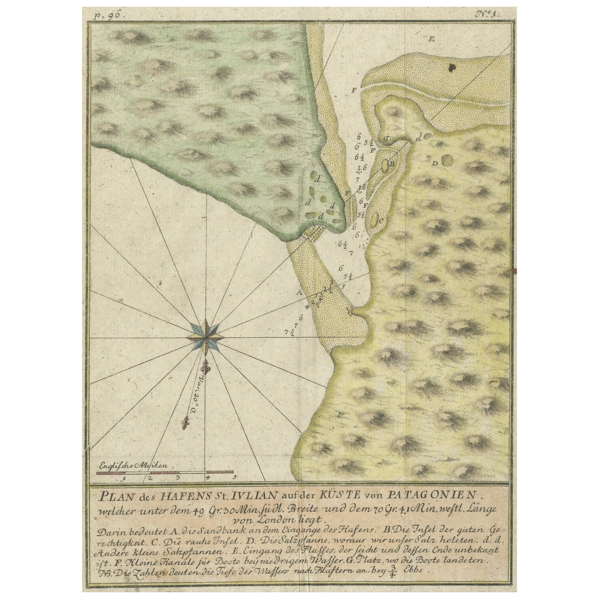
- Antique Plan of Plan of St. Julian's Harbour on the Coast of PatagoniaLocated in Langweer, NLAntique map titled 'Plan des Hafens St. Iulian auf der Küste von Patagonien'. Plan of St. Julian's Harbour on the Coast of Patagonia. This map originates from a German edition of 'Voyage around the World...Category
Antique Mid-18th Century Maps
MaterialsPaper
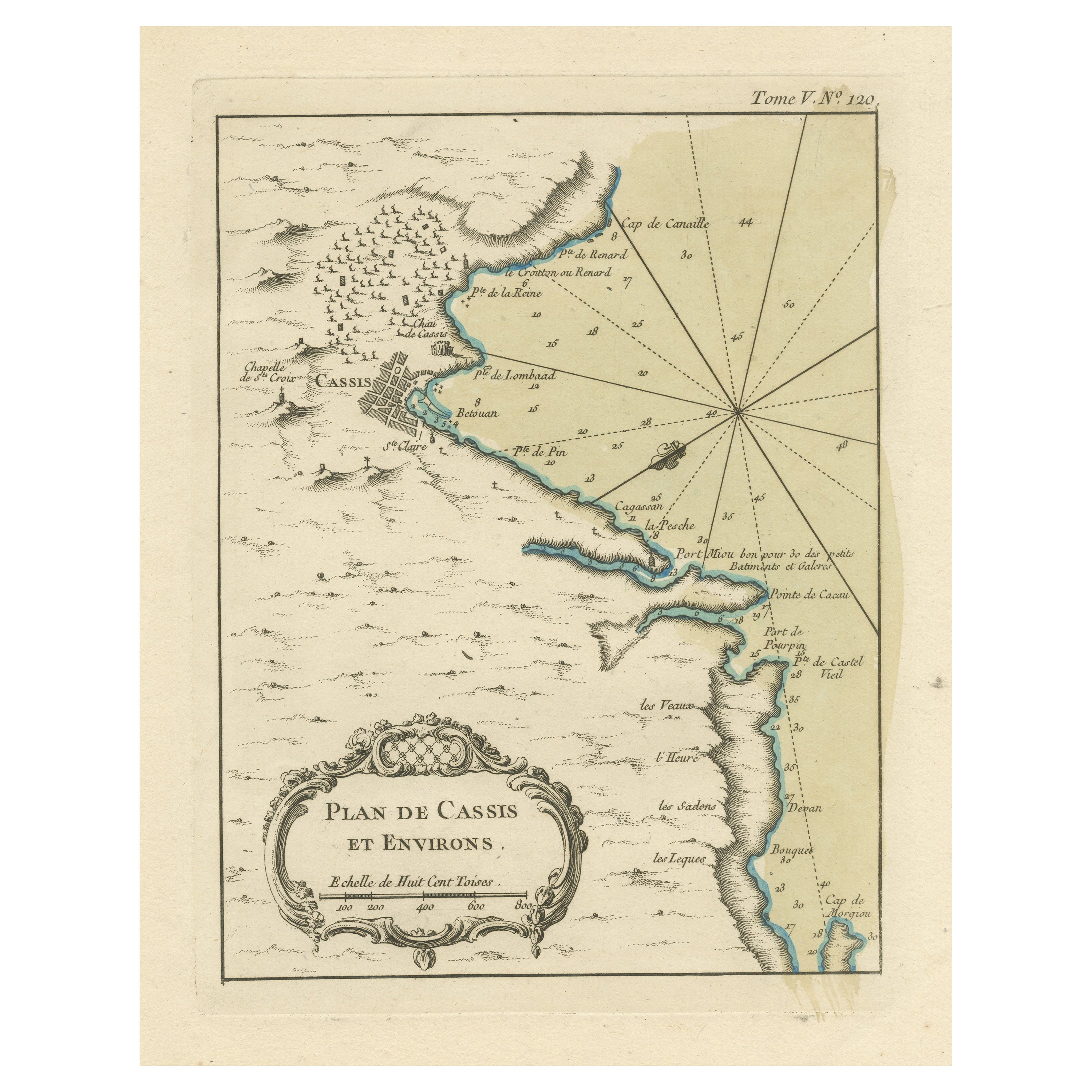
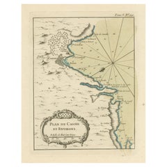
- Antique Plan of the Region of Cassis, FranceLocated in Langweer, NLAntique map titled 'Plan de Cassis et environs'. Original plan of the region of Cassis, France. This map originates from 'Le Petit Atlas Maritime (..)' by J.N. Bellin. Published 1764...Category
Antique Mid-18th Century Maps
MaterialsPaper
You May Also Like
- Cabin Plan Blueprint of the Yacht “Spirit”Located in Norwell, MAOriginal blueprint of the yacht Spirit from naval architect John G. Alden of Boston. This is for Project 581, the yacht was built by Hodgdon Brothers of East...Category
Vintage 1930s North American Prints
MaterialsPaper
- Original Antique Map / City Plan of Brussels by Tallis, circa 1850Located in St Annes, LancashireGreat map of Brussels. Steel engraving. Published by London Printing & Publishing Co. (Formerly Tallis), C.1850 Free shipping.Category
Antique 1850s English Maps
MaterialsPaper
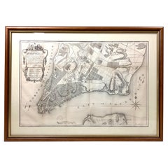
- Old Framed Map of a Plan of the City of New York as Surveyed in 1767Located in Lambertville, NJOld framed map of a plan of the City of New York as surveyed in 1767. Published by the Common Council and lithographed by George Hayward circa 1800. Repro...Category
Antique Late 19th Century American Prints
MaterialsWood, Paper
- The Sound of Music Spanish Film Poster, 1965Located in Barcelona, ESOriginal unframed the sound of Music (Sonrisas y Lágrimas ) Spanish Movie Poster, 1965 Good condition, folded. Many original posters were issued folded or were subsequently folded Some fold marks. Measures: 100 cm H x 70 cm W // 39.37 in H x 27.55 in W. The Sound of Music is a 1965 American musical drama film produced and directed by Robert Wise, and starring Julie Andrews and Christopher Plummer, with Richard Haydn, Peggy Wood, Chairman Carr, and Eleanor Parker. The film is an adaptation of the 1959 stage musical of the same name, composed by Richard Rodgers...Category
20th Century Spanish Posters
MaterialsPaper

- Set of Twelve Colored Engravings of the Defeat of the Spanish Armada by J. PineLocated in Essex, MABy John Pine considered the foremost heraldic and decorative engraver of his generation. Depicting the defeat of the Spanish by the English Fleet in 1588. These are after a set of tapestries that hung in the House of Commons...Category
Antique 1740s English Prints
MaterialsPaper
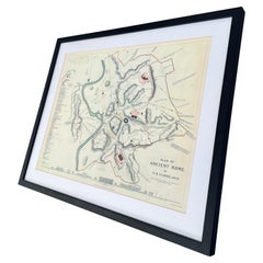
- Vintage Framed Print, Plan of Ancient RomeLocated in Seattle, WAVintage framed print. Plan of Ancient Rome. Dimensions. 27 W ; 22 H.Category
Vintage 1970s Mid-Century Modern Prints
MaterialsGlass, Wood