Items Similar to Old Framed Map of a Plan of the City of New York as Surveyed in 1767

Want more images or videos?
Request additional images or videos from the seller
1 of 11
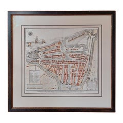
Old Framed Map of a Plan of the City of New York as Surveyed in 1767
About the Item
Old framed map of a plan of the City of New York as surveyed in 1767. Published by the Common Council and
lithographed by George Hayward circa 1800. Reproduced from the original vintage map late 1800s early 1900s. Overall Size 33" wide x 24" tall. Nicely framed with lucite for the glass.
- Dimensions:Height: 24 in (60.96 cm)Width: 33 in (83.82 cm)Depth: 1 in (2.54 cm)
- Materials and Techniques:
- Place of Origin:
- Period:
- Date of Manufacture:Late 19th Century
- Condition:Wear consistent with age and use. Some minor staining and doxxing to the paper from age.
- Seller Location:Lambertville, NJ
- Reference Number:
About the Seller
4.9
Platinum Seller
These expertly vetted sellers are 1stDibs' most experienced sellers and are rated highest by our customers.
Established in 1985
1stDibs seller since 2015
997 sales on 1stDibs
Typical response time: <1 hour
- ShippingRetrieving quote...Ships From: Lambertville, NJ
- Return PolicyA return for this item may be initiated within 3 days of delivery.
More From This SellerView All
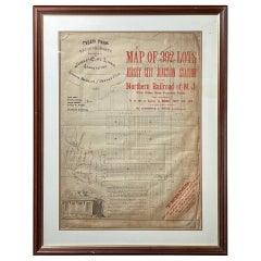
- Framed Original Land Map Survey of Tyler Park, Jersey City RailroadLocated in Lambertville, NJA framed and matted historical map of Tyler park jersey city New Jersey Railroad. The paper on canvas in later appropriate frame. Good condition with some creasing and age discolorat...Category
Antique 1870s American Posters
MaterialsCanvas, Glass, Wood
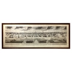
- Large Framed Print of Early NYC referred to as The Burgis View 1717Located in Lambertville, NJA South Prospect of Ye Flourishing City of New York in the Province of New York. Often referred to as “The Burgis View” after its creator William Burgis, this circa 1717 depiction of...Category
Antique Late 19th Century English Prints
MaterialsWood, Paper
- Mid-Century Original Watercolor of the New York City Skyline Signed Lower RightLocated in Lambertville, NJMid-century original watercolor of the New York City skyline signed lower right, Circa 1940-1950's Very nice watercolor in a layered matted Frame. Dimensions: 23" W x 17.75" H x 1...Category
Mid-20th Century American Paintings
MaterialsGlass, Wood, Paper
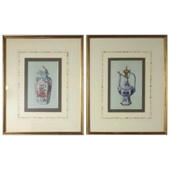
- Pair of Early 20th Century Framed PrintsLocated in Lambertville, NJA pair of 1910 framed prints of Asian porcelain in giltwood frames. Beautifully matted in French matts.Category
Vintage 1910s European Prints
MaterialsGlass, Giltwood, Paper
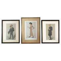
- Set of Three Spy Vanity Fair Framed PrintsBy Sir Leslie WardLocated in Lambertville, NJA set of three framed Vanity Fair prints by Sir Leslie Ward, signed "SPY" There is one pair measuring 17 high, 13 wide, framed and the center one is...Category
Antique 1870s Prints
MaterialsGlass, Wood, Paper
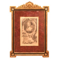
- 18th Century Copper Engraving in Giltwood Frame Published in 1746, Jane SeymourLocated in Lambertville, NJA beautifully framed 19th century copper engraved print of Queen Jane Seymour (1508-1537), the third wife of Henry VIII. Engraved by Jacobus Houbrak...Category
Antique Mid-18th Century English Tudor Prints
MaterialsGlass, Giltwood, Paper

You May Also Like
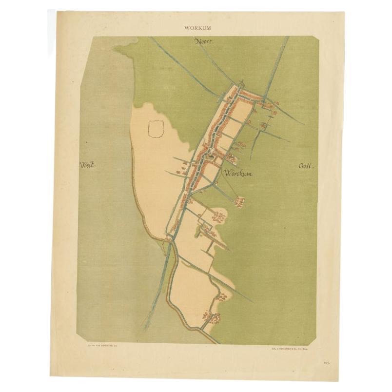
- Old Map of The Frisian City of Workum in Holland, 1916Located in Langweer, NLAntique map Workum titled 'Workum'. Antique map depicting the Frisian city of Workum, the Netherlands. Artists and Engravers: Lithograph by J. Smulders & Co, Den Haag. Condi...Category
20th Century Maps
MaterialsPaper
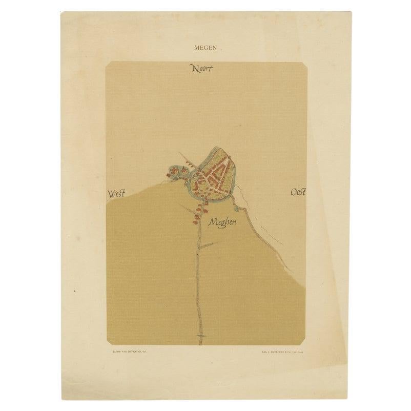
- Old Map of the Dutch City of Megen in Holland, 1916Located in Langweer, NLAntique map Megen titled 'Megen'. Antique map depicting the city of Megen, Noord-Brabant, The Netherlands. Artists and Engravers: Lithograph by J. Smulders & Co, Den Haag. Con...Category
20th Century Maps
MaterialsPaper
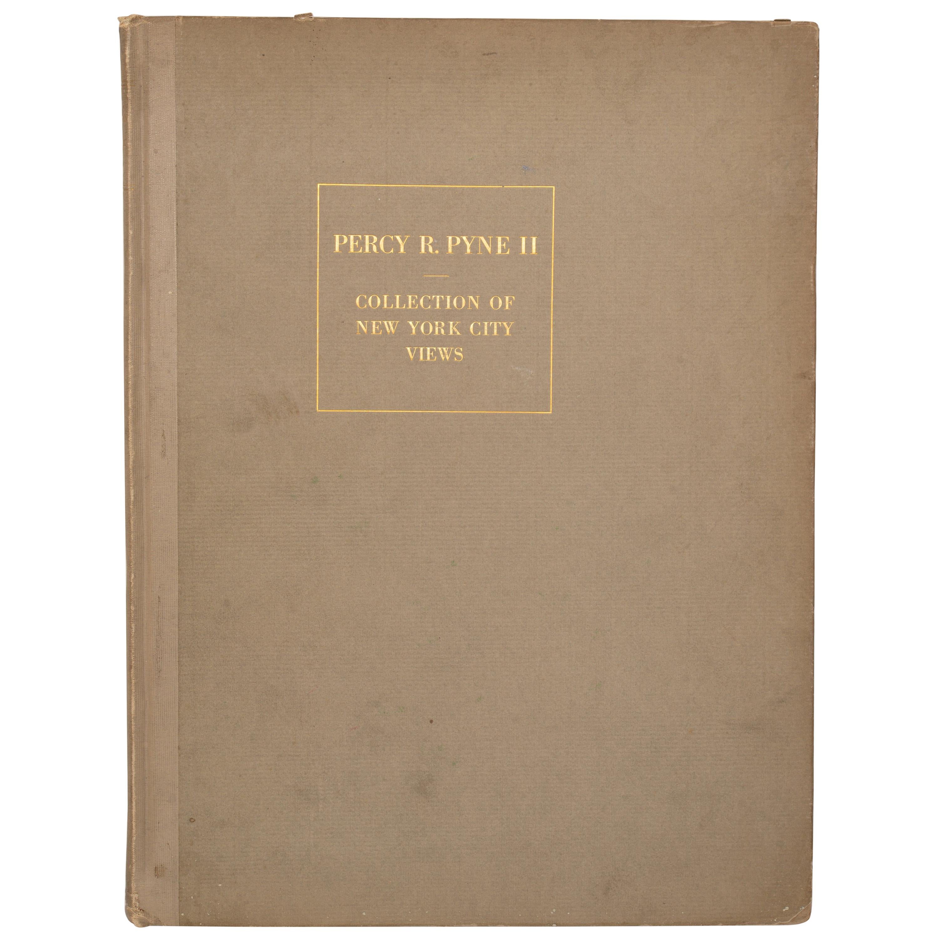
- Catalogue of Engraved Views, Plans, Etc., Of New York City, 1st EdLocated in valatie, NYA catalogue of engraved views, plans, etc., Of New York City, (The Collection of Percy R. Pyne II). Privately Printed by The De Vinne Press, New York, 1912. Limited to 100 copies. Gr...Category
Early 20th Century American Books
MaterialsPaper
- Antique City Plan of Rotterdam in Frame, ca.1850Located in Langweer, NLAntique map titled 'Grondkaart der stad Rotterdam (..)'. Original antique city plan of Rotterdam, the Netherlands. Published circa 1850. Artists...Category
Antique 19th Century Prints
MaterialsPaper
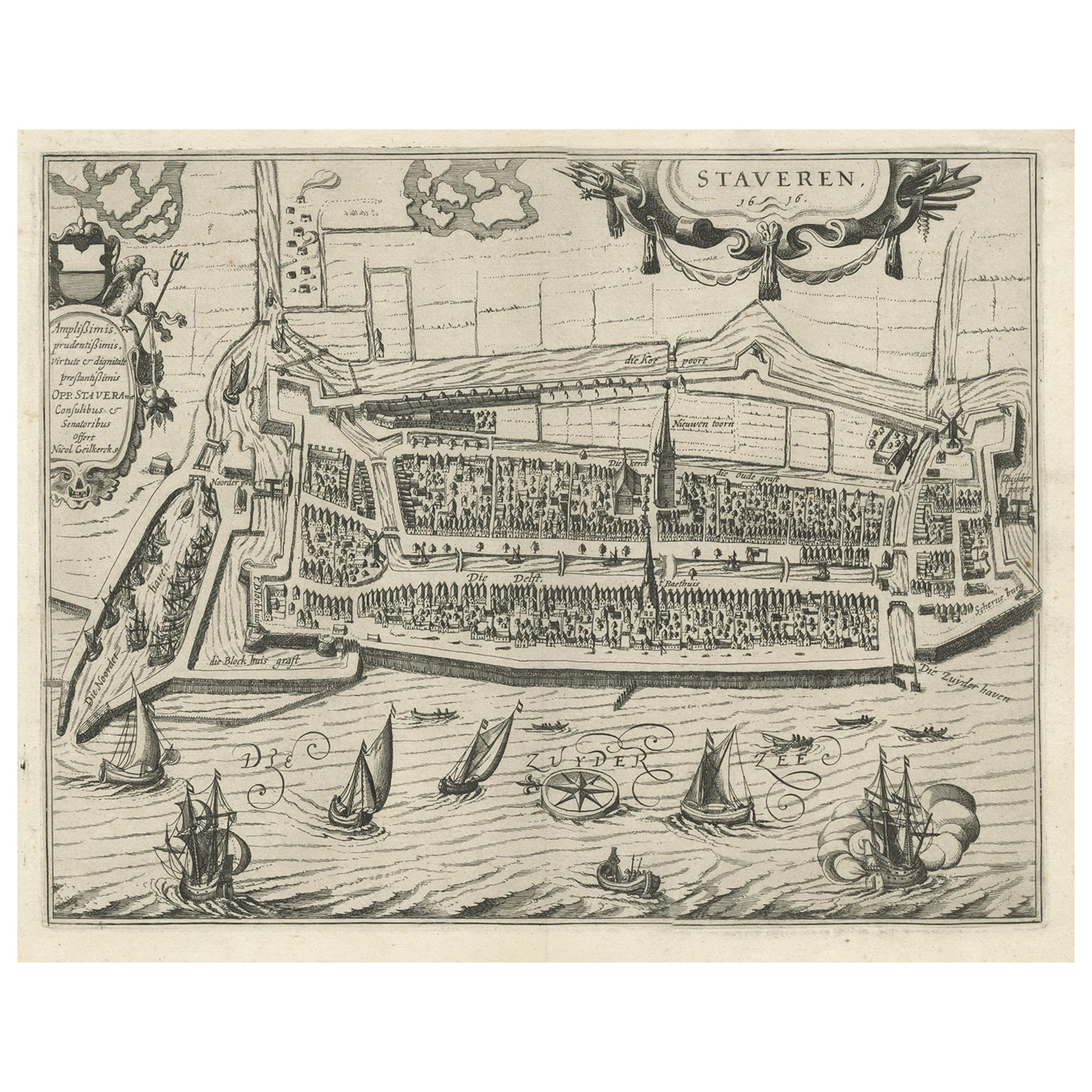
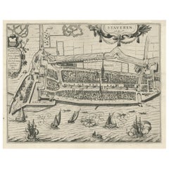
- Rare Old Map of the City of Stavoren, Friesland, the Netherlands, 1616Located in Langweer, NLAntique map titled 'Staveren'. Old map of the city of Stavoren, Friesland. This map originates from 'Rerum Frisicarum Historia' by U. Emmius. Artists and Engravers: Nicolaes ...Category
Antique 1610s Maps
MaterialsPaper
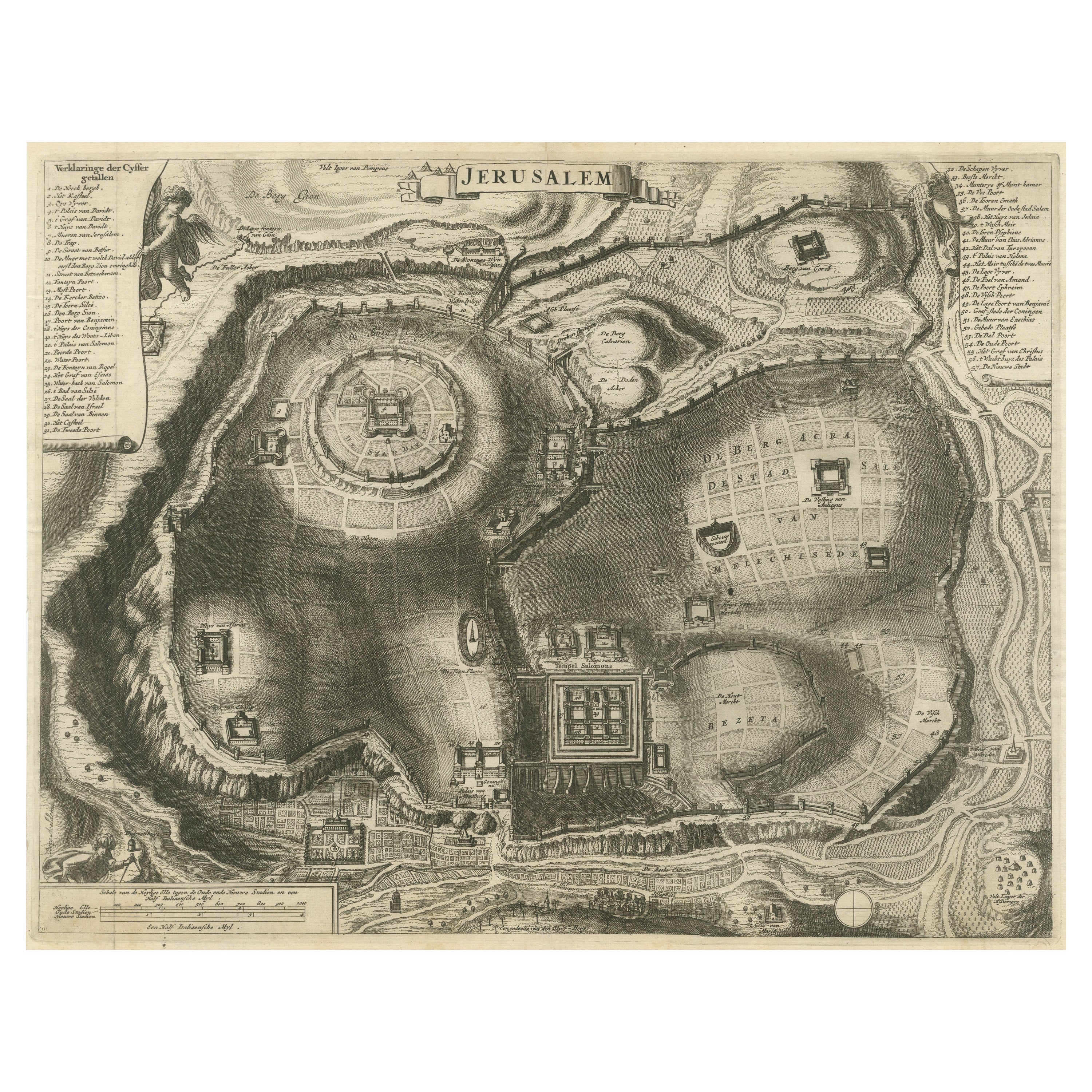
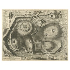
- Antique Plan of the City of JerusalemLocated in Langweer, NLAntique map titled 'Jerusalem.' Plan of the ancient city of Jerusalem. With extensive key and scale. Source unknown, to be determined. Cornelis de Bruijn (also spelled Cornelius de ...Category
Antique Late 17th Century Prints
MaterialsPaper


Recently Viewed
View AllMore Ways To Browse
New York 1800s
Vintage Map New York
New York City Map Lithograph
Vintage Map Framed
Lithograph 1800s
Vintage Glass Map
Vintage Maps Of New York City
Vintage Maps Of New York
Two Door Painted Glass Cabinet
Georgian Mahogany Commodes
Pink Iridescent
Retro Metal Dining Table And Chairs
Italian Wave Chairs
18th Century Swan
Golden Chest
Neoclassical Cabinets Pair
Mahogany Dining Table Century Furniture Chairs
Vintage Teak Bar