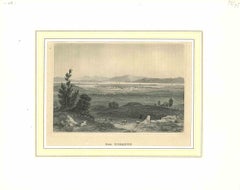
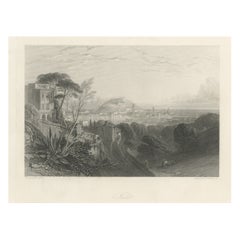
Items Similar to Antique View of Syracuse, Sicily, Italy, 1837
Want more images or videos?
Request additional images or videos from the seller
1 of 6
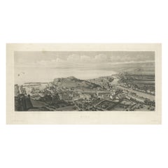
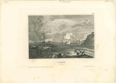
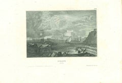
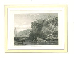
Antique View of Syracuse, Sicily, Italy, 1837
$143.66
£105.97
€120
CA$199.05
A$216
CHF 114.46
MX$2,649.12
NOK 1,416.44
SEK 1,338.46
DKK 913.78
About the Item
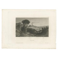
Antique print titled 'Syracus'. View of Syracuse, Sicily, Italy. Originates from 'Meyers Universum'.
Artists and Engravers: Joseph Meyer (May 9, 1796 - June 27, 1856) was a German industrialist and publisher, most noted for his encyclopedia, Meyers Konversations-Lexikon. Meyer operated very successfully as a publisher, employing a system of serial subscription to publications, which was new at that time. To this end he founded a company, Bibliographisches Institut, in Gotha in 1826. It published several editions of the Bible, works of classical literature ("Miniatur-Bibliothek der deutschen Classiker", "Groschen-Bibliothek"), atlases, the world in pictures on steel engravings ("Meyers Universum", 1833–61, 17 volumes in 12 languages with 80,000 subscribers all over Europe), and an encyclopaedia.
- Dimensions:Height: 7.29 in (18.5 cm)Width: 10.63 in (27 cm)Depth: 0 in (0.02 mm)
- Materials and Techniques:
- Period:
- Date of Manufacture:1837
- Condition:Condition: Good, general age-related toning. Minor wear and foxing. Blank verso, please study image carefully.
- Seller Location:Langweer, NL
- Reference Number:Seller: BG-11671-161 1stDibs: LU3054327345412
About the Seller
5.0
Recognized Seller
These prestigious sellers are industry leaders and represent the highest echelon for item quality and design.
Platinum Seller
Premium sellers with a 4.7+ rating and 24-hour response times
Established in 2009
1stDibs seller since 2017
2,622 sales on 1stDibs
Typical response time: <1 hour
- ShippingRetrieving quote...Shipping from: Langweer, Netherlands
- Return Policy
Authenticity Guarantee
In the unlikely event there’s an issue with an item’s authenticity, contact us within 1 year for a full refund. DetailsMoney-Back Guarantee
If your item is not as described, is damaged in transit, or does not arrive, contact us within 7 days for a full refund. Details24-Hour Cancellation
You have a 24-hour grace period in which to reconsider your purchase, with no questions asked.Vetted Professional Sellers
Our world-class sellers must adhere to strict standards for service and quality, maintaining the integrity of our listings.Price-Match Guarantee
If you find that a seller listed the same item for a lower price elsewhere, we’ll match it.Trusted Global Delivery
Our best-in-class carrier network provides specialized shipping options worldwide, including custom delivery.More From This Seller
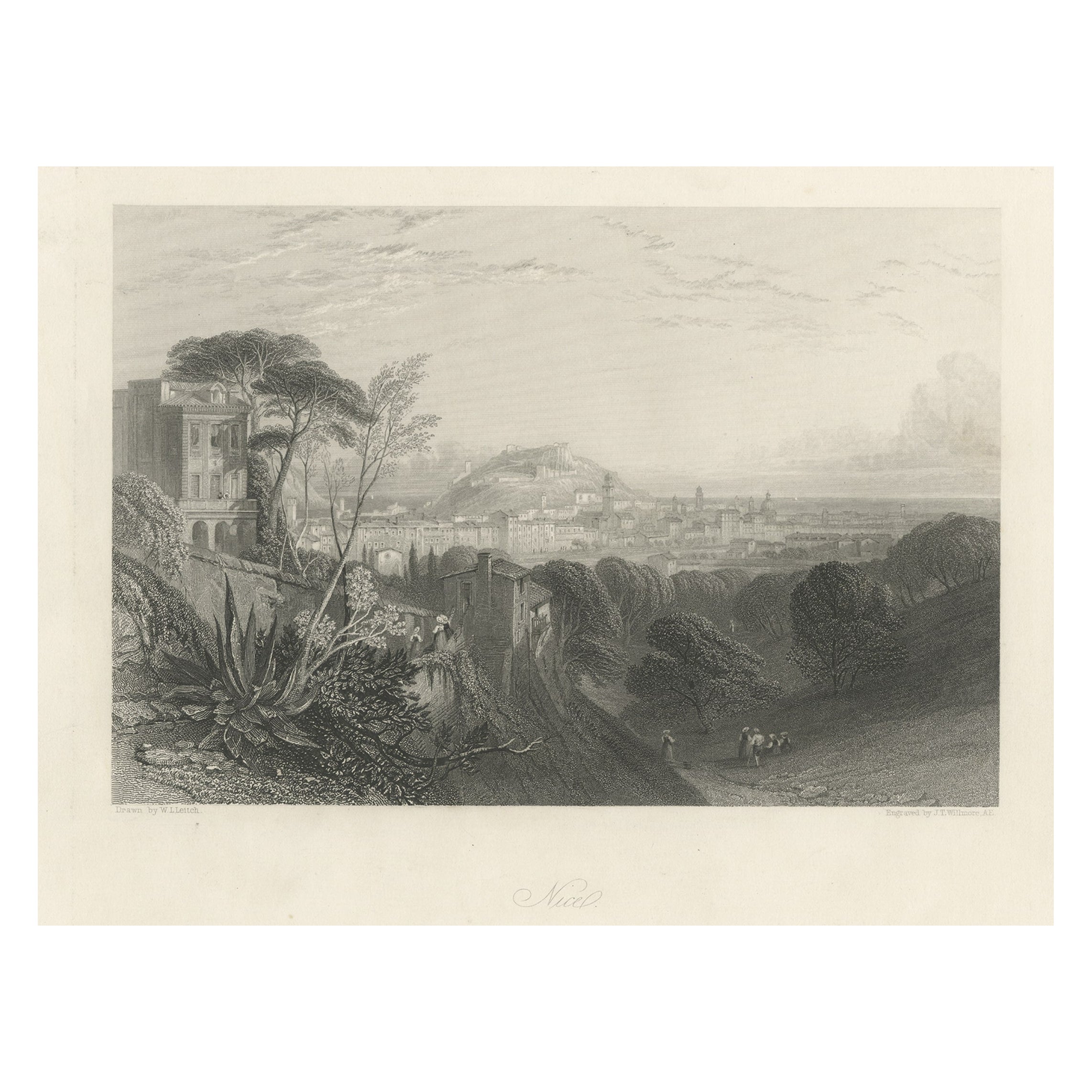
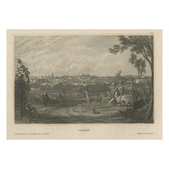
View AllAntique Print of the City of Nice in Southern France, 1856
Located in Langweer, NL
Antique print titled 'Nice, Nizza'. View of the city of Nice, France. This print originates from 'Italy, Classical, Historical and Picturesque' by Camillo Mapei.
Artists and Engra...
Category
Antique 19th Century Prints
Materials
Paper
$181 Sale Price
20% Off
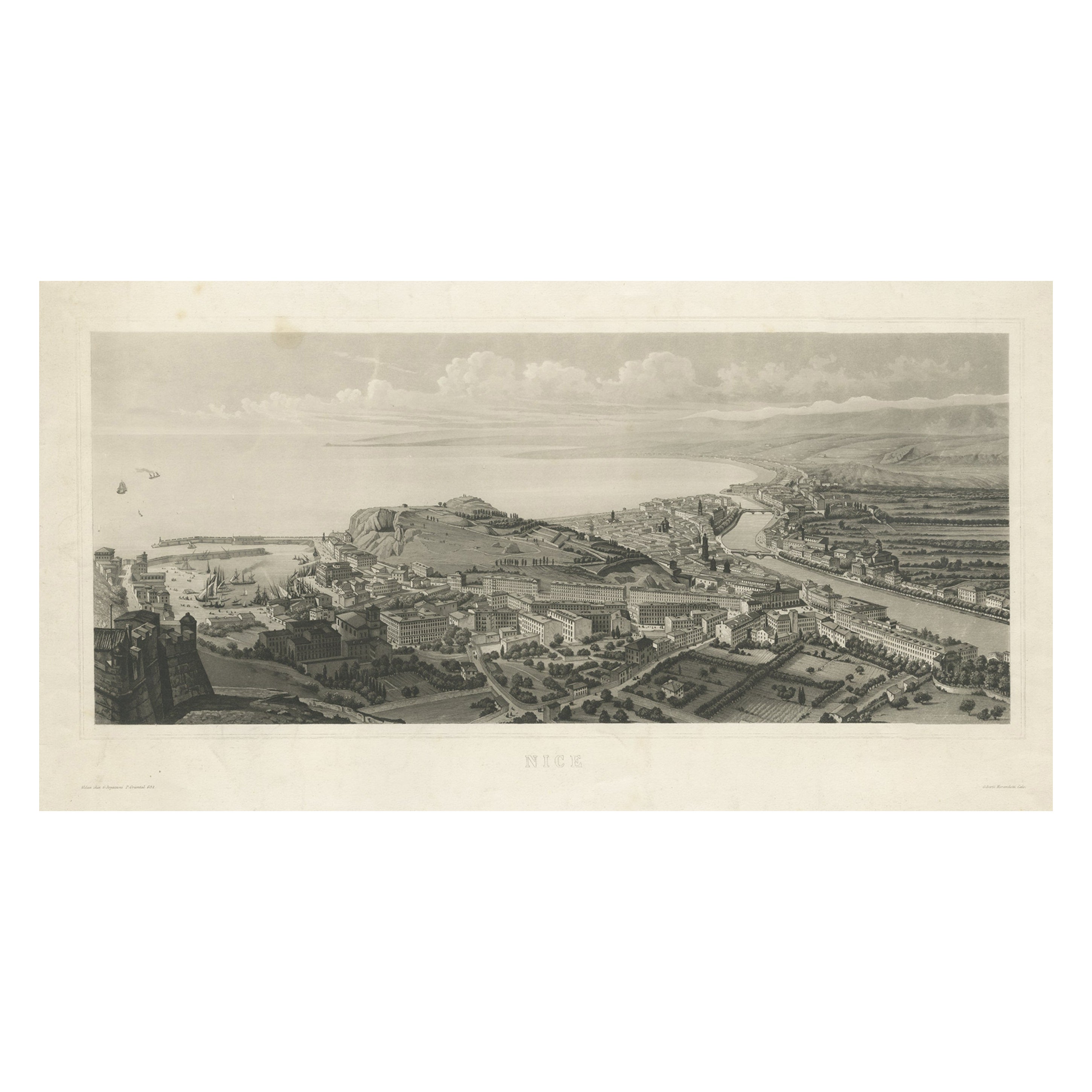
Beautiful Antique View of Nice in Southern France, c.1835
Located in Langweer, NL
Antique print titled 'Nice'. Original antique print with a view of Nice, France.
Artists and Engravers: Engraved by G. Morandotti after G. Regazzoni.
Condition: Fair/good, gene...
Category
Antique 19th Century Prints
Materials
Paper
$612 Sale Price
20% Off
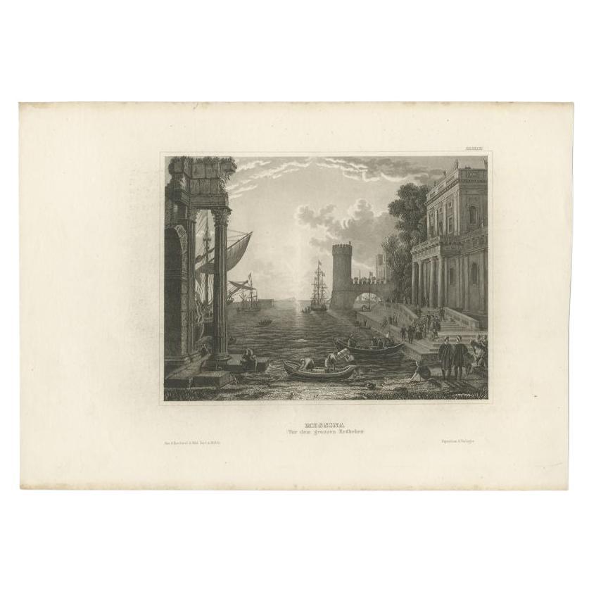
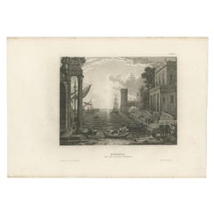
Antique Print of Messina, Sicily, Italy, 1848
Located in Langweer, NL
Antique print titled 'Messina (vor dem grossen Erdbeben)'. View of Messina, Sicily, Italy. Originates from 'Meyers Universum'.
Artists and Engravers: Joseph Meyer (May 9, 1796 - ...
Category
Antique 19th Century Prints
Materials
Paper
$124 Sale Price
20% Off
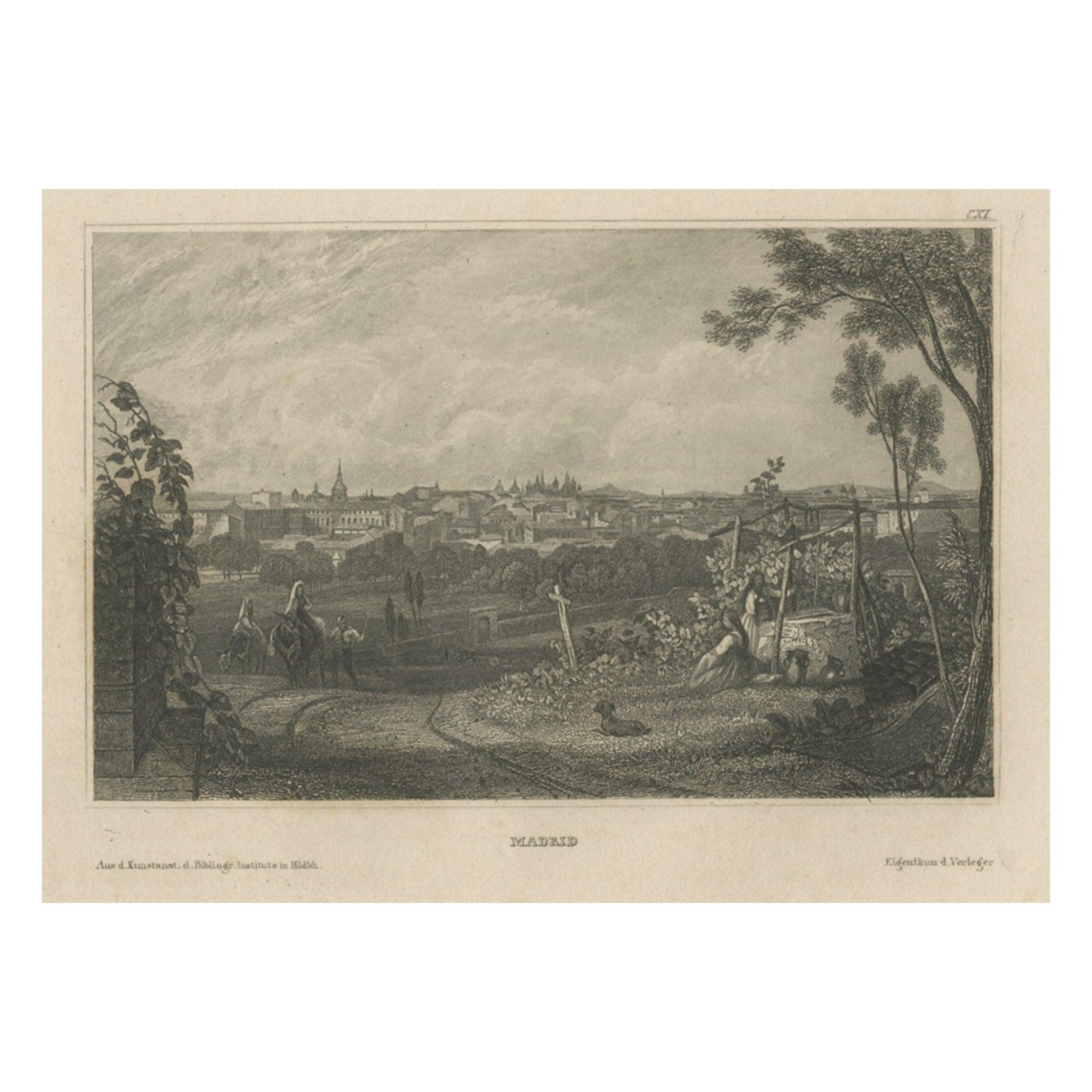
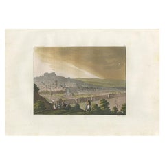
Antique Print of Madrid in Spain, 1836
Located in Langweer, NL
Antique print titled 'Madrid'. View of Madrid, Spain. Originates from 'Meyers Universum'.
Artists and Engravers: Joseph Meyer (May 9, 1796 - June 27, 1856) was a German industrial...
Category
Antique 19th Century Prints
Materials
Paper
$67 Sale Price
20% Off
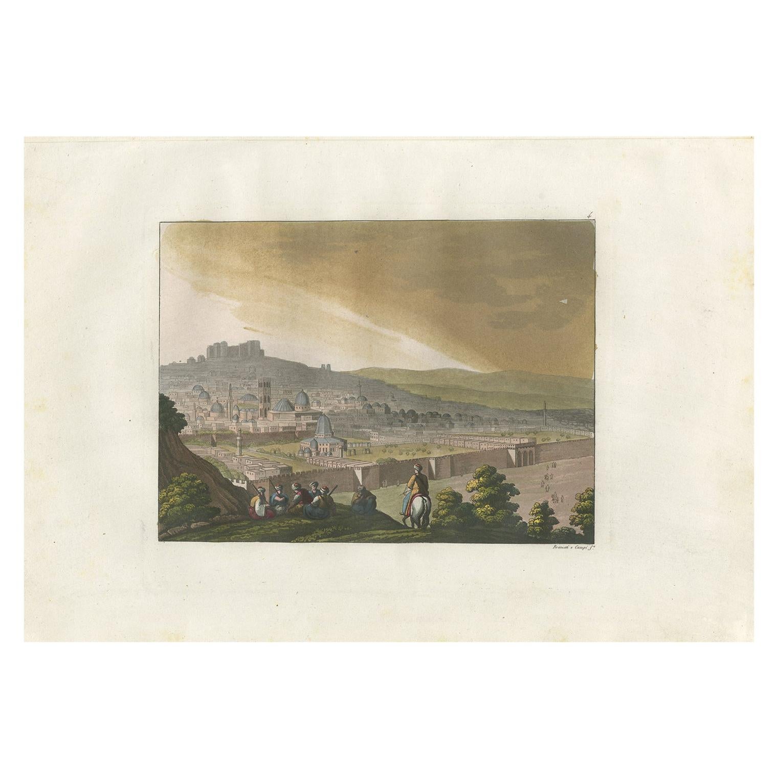
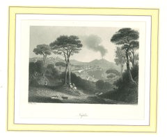
Antique Print of Jerusalem from the Mount of Olives by Ferrario '1831'
Located in Langweer, NL
Original antique print of Jerusalem from the Mount of Olives. This print originates from 'Costume Antico e Moderno: Palestine, China, India, Oceania' by Ferrario. Published 1831.
Category
Antique Mid-19th Century Prints
Materials
Paper
$239 Sale Price
20% Off
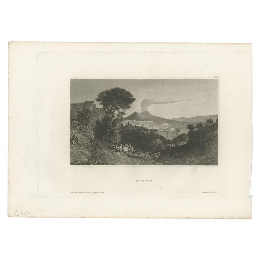
Antique Print of Naples, Italy, circa 1835
Located in Langweer, NL
Antique print titled 'Neapel'. View of Naples, Italy. Originates from 'Meyers Universum'.
Artists and Engravers: Joseph Meyer (May 9, 1796 - June 27, 1856) was a German industrialist...
Category
Antique 19th Century Prints
Materials
Paper
$105 Sale Price
20% Off
You May Also Like
Ancient View of La Valetta - Original Lithograph - Early-19th Century
Located in Roma, IT
La Valetta is an original modern artwork realized in Italy in the first half of the 19th Century.
Original Lithograph on Ivory Paper.
Inscripted in capital letters on the lower ma...
Category
1850s Modern Figurative Prints
Materials
Lithograph
Ancient View of Naples - Original Lithograph on Paper - 1850
Located in Roma, IT
Ancient View of Naples is an original modern artwork realized in Italy in the first half of the 19th Century.
Original Lithograph on Ivory Paper.
In...
Category
1850s Modern Figurative Prints
Materials
Lithograph
Ancient View of Messina - Original Lithograph on Paper - Mid-19th Century
Located in Roma, IT
Messina is an original modern artwork realized in Italy in the first half of the 19th Century.
Original Lithograph on Ivory Paper.
Inscripted on the lower margin in Capital Lette...
Category
1850s Modern Figurative Prints
Materials
Lithograph

Ancient View of the Bay of Naples - Original Lithograph - Mid-19th Century
Located in Roma, IT
Ancient View of the Bay of Bay of Naples is an original modern artwork realized in Italy in the first half of the 19th Century.
Original Lithograph on Ivory Paper.
Inscripted in ...
Category
1850s Figurative Prints
Materials
Lithograph
Ancient View of the Piraeus - Lithograph - Mid-19th Century
Located in Roma, IT
Ancient View of the Piraeus is an original modern artwork realized in the mid-19th Century.
Original B/W Lithograph on Ivory Paper.
Inscripted ...
Category
Early 19th Century Modern Figurative Prints
Materials
Paper, Lithograph