Items Similar to Gregory's 1861 Expedition into the North West of Australia, 1862


Want more images or videos?
Request additional images or videos from the seller
1 of 8
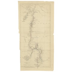
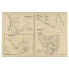
Gregory's 1861 Expedition into the North West of Australia, 1862
About the Item
The map represents the route taken during F.T. Gregory's 1861 North West Australian Expedition.
This exploration was a significant journey that took place over the Pilbara region, starting from the Ashburton River and extending to the Dampier Archipelago and the De Grey River.
Francis Thomas Gregory led the expedition on the ship 'Dolphin', arriving at Nickol Bay in May 1861. The objective of the expedition was initially to assess the land's suitability for cotton cultivation, but it ended up having a profound impact on the region's development, particularly in the pastoral industry.
Gregory and his team, likely the first Europeans to witness vast swathes of this landscape, were instrumental in encouraging settlers to move to the Pilbara, not only from other parts of Western Australia but also from the eastern colonies and Victoria. Interestingly, Gregory also observed the presence of iron ore in the Pilbara; however, this resource would not be significantly tapped into until the late 20th century.
For his efforts in leading this and other expeditions, Gregory was awarded the founder's medal of the Royal Geographical Society in 1863. His detailed reports from these explorations served as guidebooks for those looking to establish pastoral and pearling operations in the north. Additionally, he collected numerous botanical and geological specimens, which would later be displayed in museums such as Charles Nicolay's in Fremantle.
After his time in Western Australia, Gregory moved to Queensland in 1862, where he continued to contribute to the expansion and exploration of Australia, serving in several official capacities including commissioner of crown lands.
- Dimensions:Height: 8.39 in (21.3 cm)Width: 14.97 in (38 cm)Depth: 0 in (0.02 mm)
- Materials and Techniques:
- Period:
- Date of Manufacture:1862
- Condition:Good. Folds as issued with a few tears on the folding lines. Two tears backed with archival tape. Study the images carefully.
- Seller Location:Langweer, NL
- Reference Number:
About the Seller
5.0
Platinum Seller
These expertly vetted sellers are 1stDibs' most experienced sellers and are rated highest by our customers.
Established in 2009
1stDibs seller since 2017
1,922 sales on 1stDibs
Typical response time: <1 hour
- ShippingRetrieving quote...Ships From: Langweer, Netherlands
- Return PolicyA return for this item may be initiated within 14 days of delivery.
More From This SellerView All
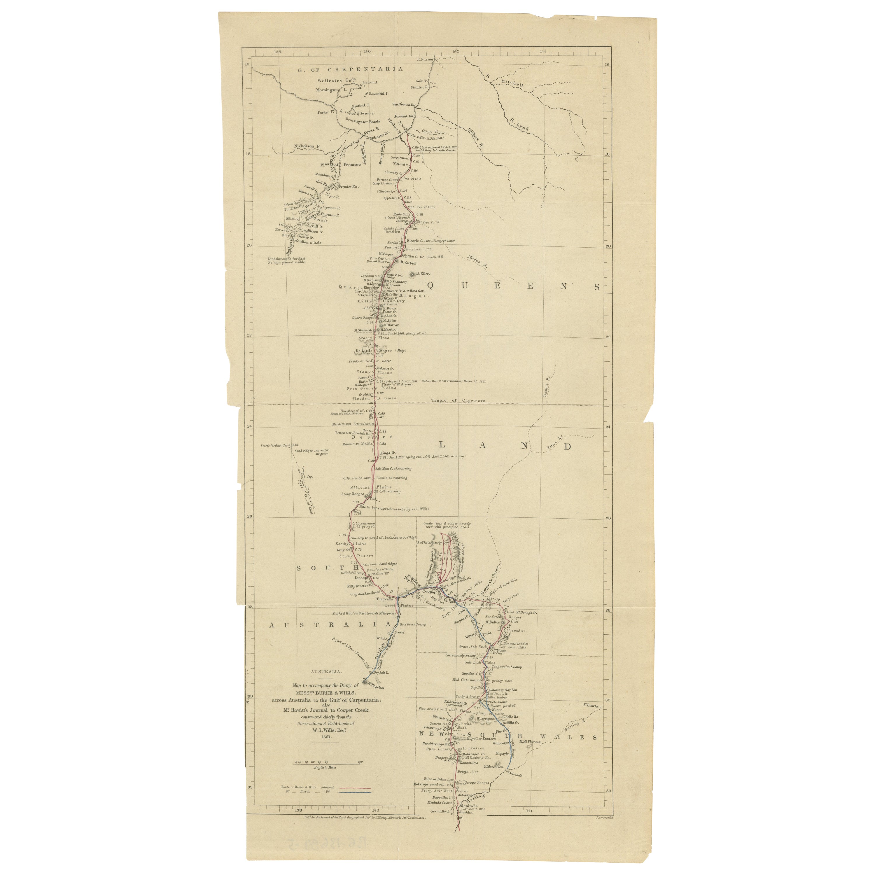
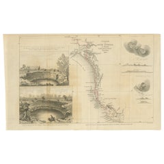
- The Fateful Track of The Burke and Wills Expedition in Australia's Outback, 1862Located in Langweer, NLThe map depicts the route of the Burke and Wills expedition, one of the most famous and tragic explorations in Australian history. This journey was the first to cross the Australian ...Category
Antique 1860s Prints
MaterialsPaper
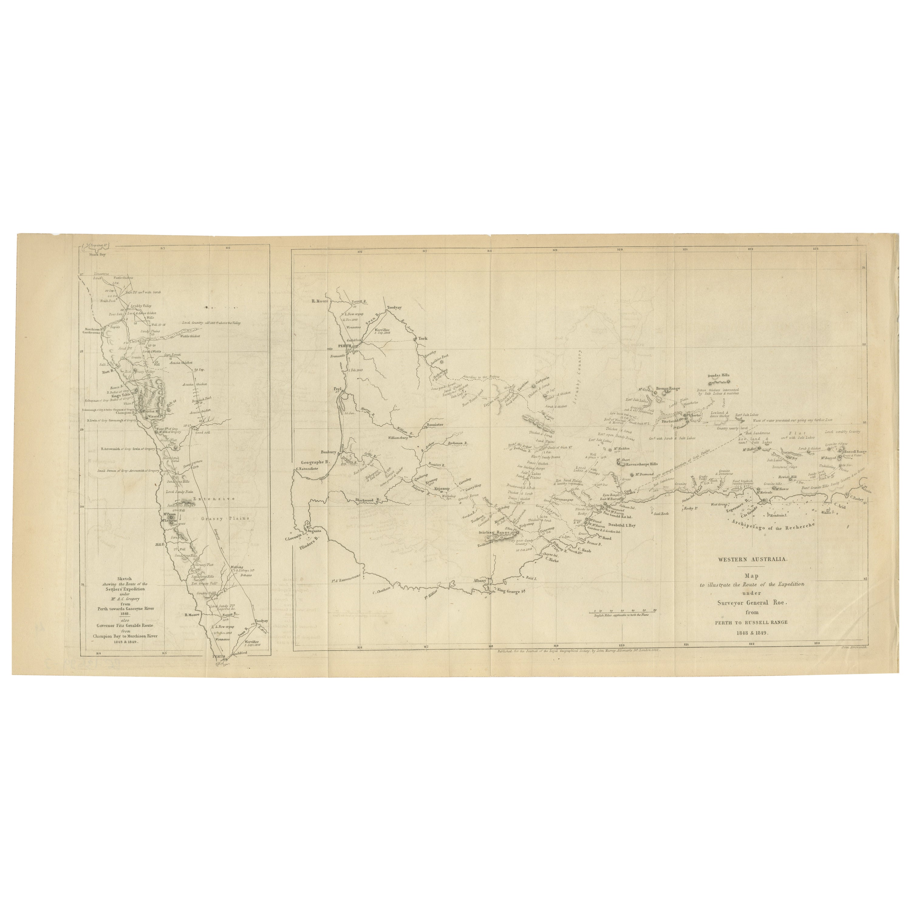
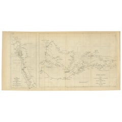
- Charting the West: Surveyor General Roe’s Western Australian Expedition , 1852Located in Langweer, NLThis map is a historical document, focused on Western Australia. It illustrates the route of an expedition under Surveyor General Roe from Perth to Russell Range during 1848 and 1849...Category
Antique 1850s Prints
MaterialsPaper
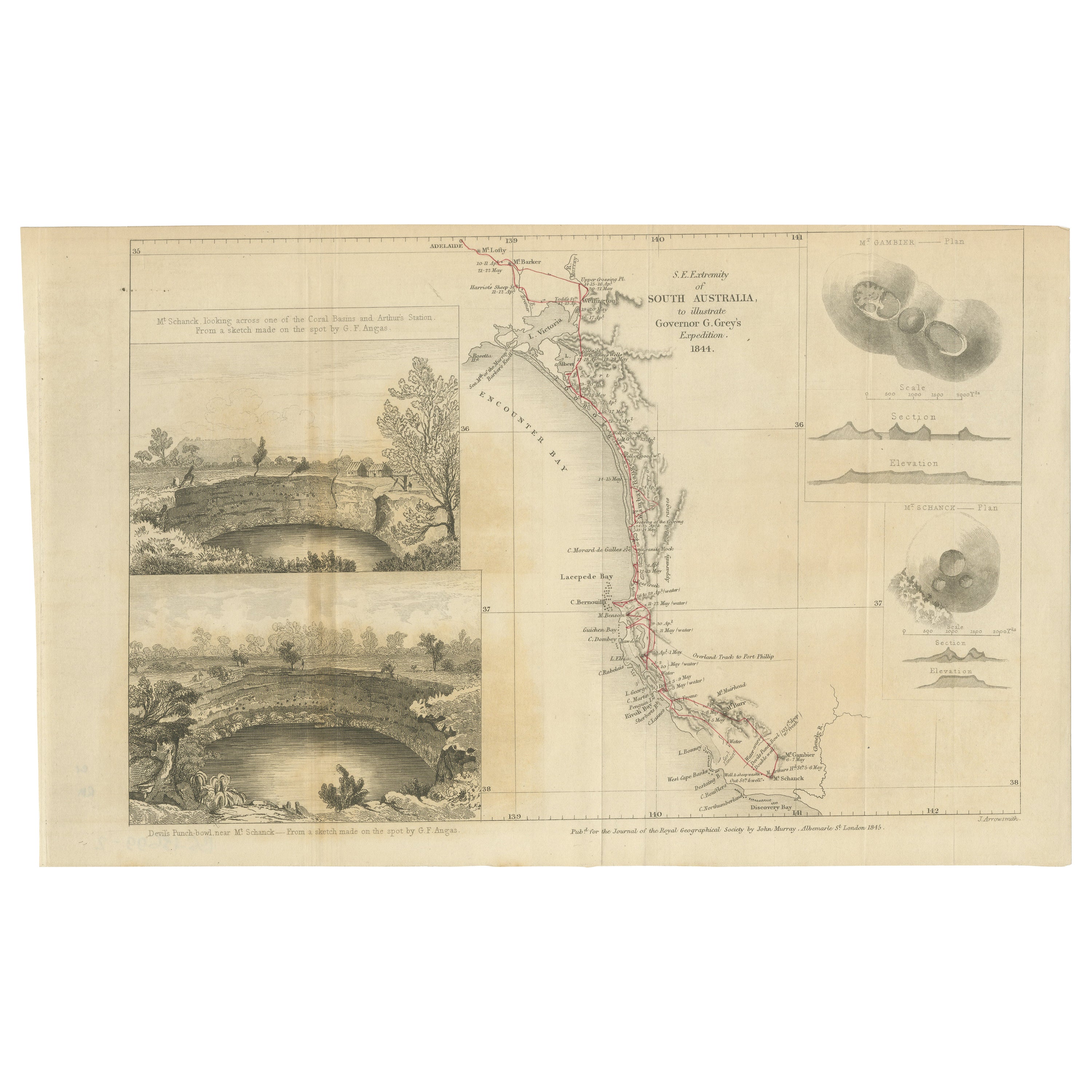
- Traversing the Volcanic Frontier: A South Australian Expedition of 1844Located in Langweer, NLThis is a historical document and part of a map and illustration from an expedition. The text indicates it is from South Australia to illustrate Governor G. Grey's Expedition in 1841...Category
Antique 1840s Prints
MaterialsPaper
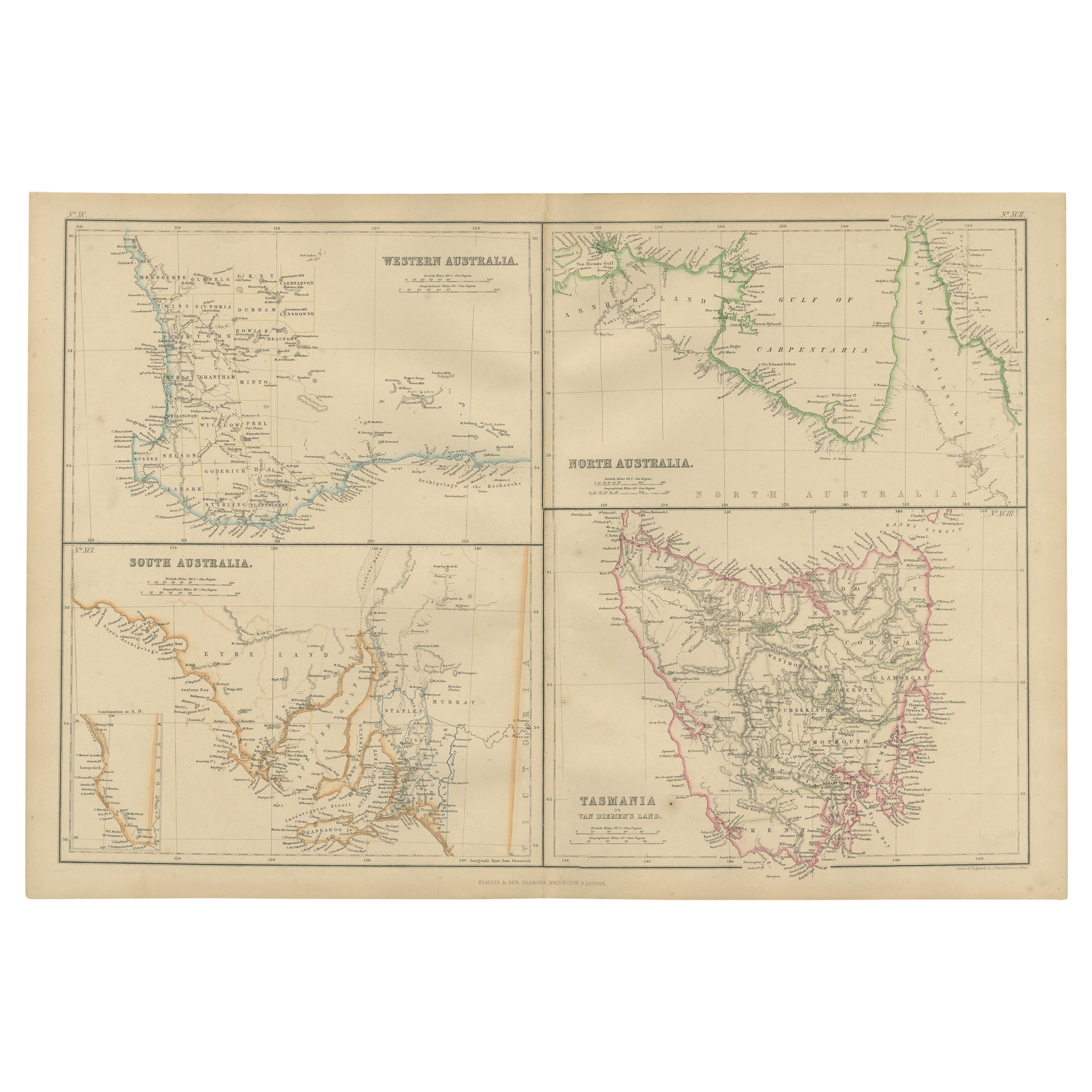
- Antique Map of West, South, North Australia and Tasmania by W. G. Blackie, 1859Located in Langweer, NLAntique map titled 'Western Australia, South Australia, North Australia and Tasmania'. Original antique map of Western Australia, South Australia, North Australia and Tasmania. This ...Category
Antique Mid-19th Century Maps
MaterialsPaper
- Antique Map of North America Including the West IndiesLocated in Langweer, NLOriginal antique map titled 'Nord-America'. Old map of North America and the West Indies. Also showing British Overseas Territories and Hudson Bay. This map originates from Stiel...Category
Antique Mid-19th Century Maps
MaterialsPaper
- Antique Map of the West Coast of North America & North East Coast of Asia '1772'Located in Langweer, NLAntique map titled 'Carte des nouvelles decouvertes/ Extrait d'une Carte Japonoise de l'Universe'. Map of the West Coast of North America and North-East Coast of Asia, based upon Buache's report of the various Russian Discoveries between 1731 and 1742 including the various explorers routes and notes. The lower map is based upon a Japanese map...Category
Antique Late 18th Century Maps
MaterialsPaper


You May Also Like
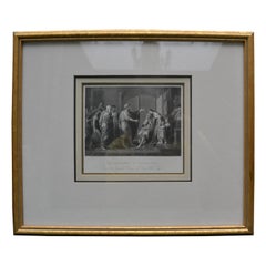
- 19th Century Engraving of Benjamin West 's the Banishment of CleombrotusBy Benjamin WestLocated in Vancouver, British ColumbiaA 19th century steel plate engraving depicting the Banishment of Cleombrotus after the original by Benjamin West oil on canvas painting executed in 1768 and held at the Tate Gallery. The engraving is presented with beige matting and a gilded wooden frame. Benjamin West showed this painting at the second exhibition of the newly formed Royal Academy. After several years in Italy, West had established himself in London as the leading painter of subjects from classical history...Category
Antique Mid-19th Century English Neoclassical Revival Prints
MaterialsPaper
- New Map of North America from the Latest Discoveries, 1763Located in Philadelphia, PAA fine antique 18th century map of the North American seaboard. Entitled "A New Map of North America from the Latest Discoveries 1763". By the Cartographer/Engraver - John Spil...Category
Antique Mid-18th Century English Georgian Maps
MaterialsPaper
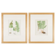
- Pair of prints from “The Ferns of North America" by Daniel Cady Eaton, 1879Located in Kenilworth, ILPair of American botanical chromolithographic prints from “The Ferns of North America” by Daniel Cady Eaton, published by S.E. Cassino. Mounted on eight ply archival mat and framed i...Category
Antique 1870s American Prints
MaterialsPaper
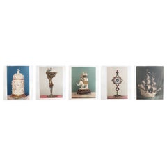
- Set of 5 Large Antique Prints of European Renaissance Art Treasures. 1862Located in St Annes, LancashireSuperb set of 5 prints of European Art Treasures Chromolithographs Published by Louis Gruner, 1862. The prints are in good condition. The white mounts have condition issues. This ...Category
Antique 1860s English Renaissance Prints
MaterialsPaper
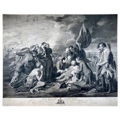
- "The Death of General Wolfe", Etching after Benjamin West, laid on vellumBy Benjamin WestLocated in Norwich, GBEtching on laid paper laid down on vellum, around 1789. Etching after Benjamin West's 1770 painting "The Death of General Wolfe" commemorating the Bat...Category
Antique 1780s Canadian Georgian Prints
MaterialsPaper
- B.West Engraving "Naval Battle, Battle of the Houge" 18th CenturyLocated in Beuzevillette, FRThis magnificent engraving is entitled "Battle of La Hougue" by the engraver E.C Voysard after Benjamin West. It depicts the Battle of Barfleur- La Hougue,...Category
Antique 18th Century French Prints
MaterialsPaper