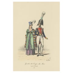
Items Similar to Old Hand-Colored Print of the Guards of the King of France, 1890
Want more images or videos?
Request additional images or videos from the seller
1 of 5
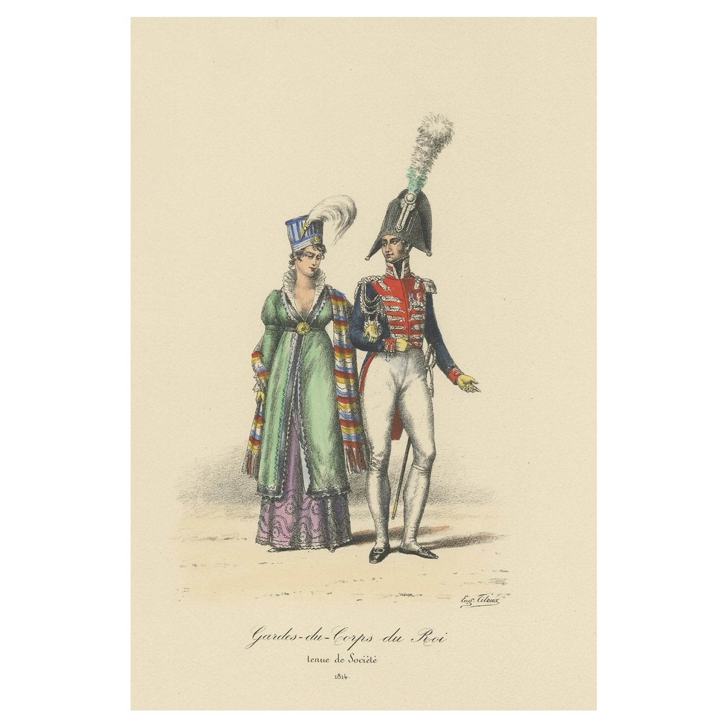
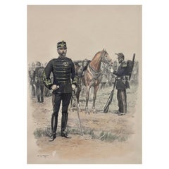
Old Hand-Colored Print of the Guards of the King of France, 1890
$180.95
$226.1920% Off
£134.50
£168.1220% Off
€152
€19020% Off
CA$249.85
CA$312.3120% Off
A$277.06
A$346.3320% Off
CHF 145.58
CHF 181.9720% Off
MX$3,385.22
MX$4,231.5320% Off
NOK 1,821.34
NOK 2,276.6820% Off
SEK 1,709.64
SEK 2,137.0520% Off
DKK 1,157.40
DKK 1,446.7520% Off
About the Item
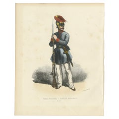
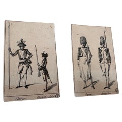
Antique print titled 'Gardes-du-Crops du Roi'.
Old print of the Guards of the King of France. This print originates from 'Histoire de la maison militaire du roi de 1814 à 1830 : avec un résumé de son organisation et de ses campagnes sous l'ancienne monarchie, et 84 dessins en couleurs' by Eugène Titeux.
Artists and Engravers: Published by Baudry et Cie.
- Dimensions:Height: 14.57 in (37 cm)Width: 10.24 in (26 cm)Depth: 0 in (0.02 mm)
- Materials and Techniques:
- Period:
- Date of Manufacture:1890
- Condition:Condition: Very good, general age-related toning. Please study image carefully.
- Seller Location:Langweer, NL
- Reference Number:Seller: BG-12028-41stDibs: LU3054327344002
About the Seller
5.0
Recognized Seller
These prestigious sellers are industry leaders and represent the highest echelon for item quality and design.
Platinum Seller
Premium sellers with a 4.7+ rating and 24-hour response times
Established in 2009
1stDibs seller since 2017
2,609 sales on 1stDibs
Typical response time: <1 hour
- ShippingRetrieving quote...Shipping from: Langweer, Netherlands
- Return Policy
Authenticity Guarantee
In the unlikely event there’s an issue with an item’s authenticity, contact us within 1 year for a full refund. DetailsMoney-Back Guarantee
If your item is not as described, is damaged in transit, or does not arrive, contact us within 7 days for a full refund. Details24-Hour Cancellation
You have a 24-hour grace period in which to reconsider your purchase, with no questions asked.Vetted Professional Sellers
Our world-class sellers must adhere to strict standards for service and quality, maintaining the integrity of our listings.Price-Match Guarantee
If you find that a seller listed the same item for a lower price elsewhere, we’ll match it.Trusted Global Delivery
Our best-in-class carrier network provides specialized shipping options worldwide, including custom delivery.More From This Seller
View AllOld Hand-Colored Print of the Guards of the King of France, 1890
Located in Langweer, NL
Antique print titled 'Gardes-du-Crops du Roi'.
Old print of the Guards of the King of France. This print originates from 'Histoire de la maison militaire du roi de 1814 à 1830 : ...
Category
Antique 1890s Maps
Materials
Paper
$180 Sale Price
20% Off
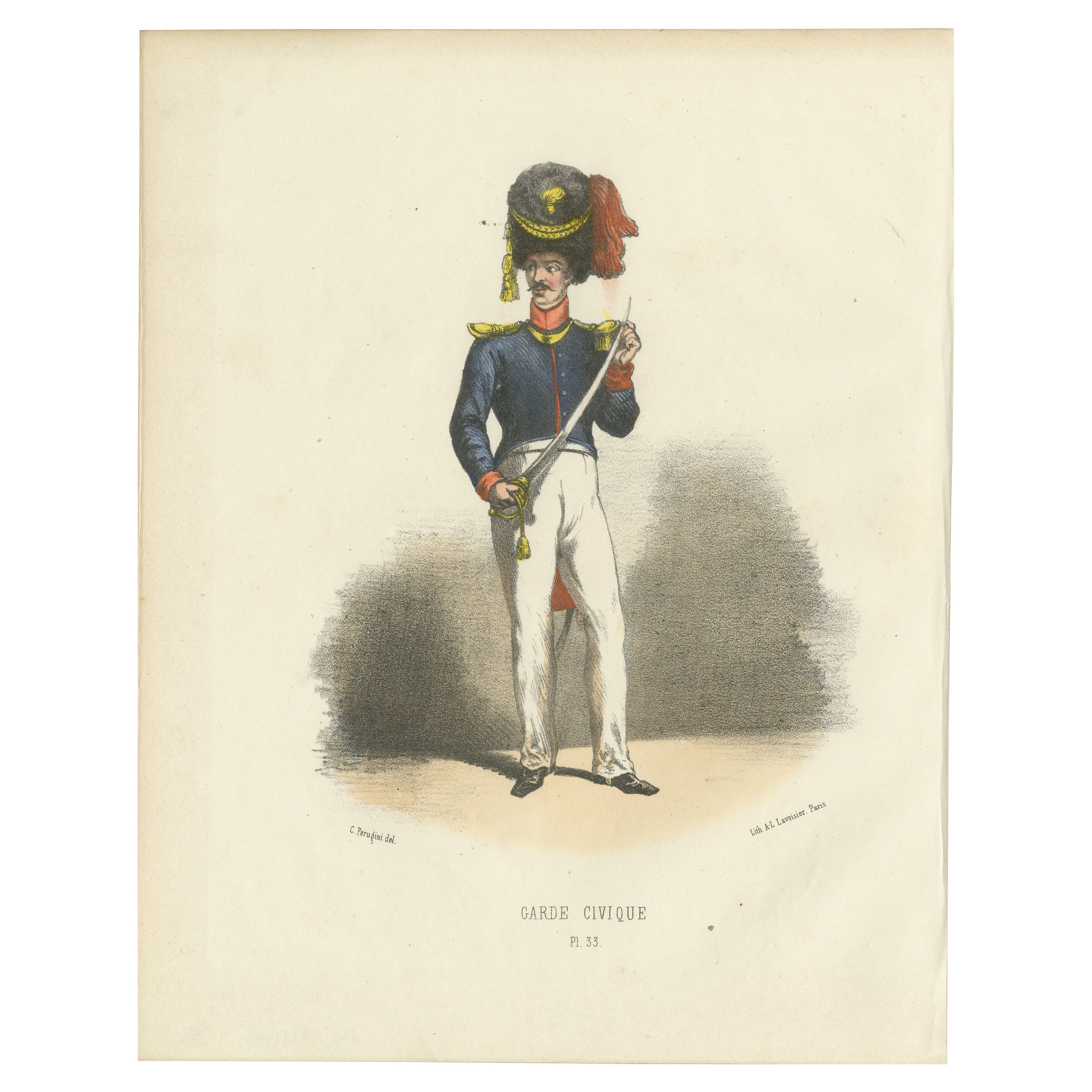
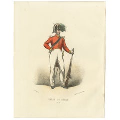
Civic Pride in Uniform: Handcolored Print of a Garde Civique Officer, 1862
Located in Langweer, NL
Civic Pride in Uniform: Handcolored Print of a Garde Civique Officer, Plate 33, 1862
This vibrant handcolored lithograph, Civic Pride in Uniform, is Plate 33 from the 1862 secon...
Category
Antique 1860s Prints
Materials
Paper
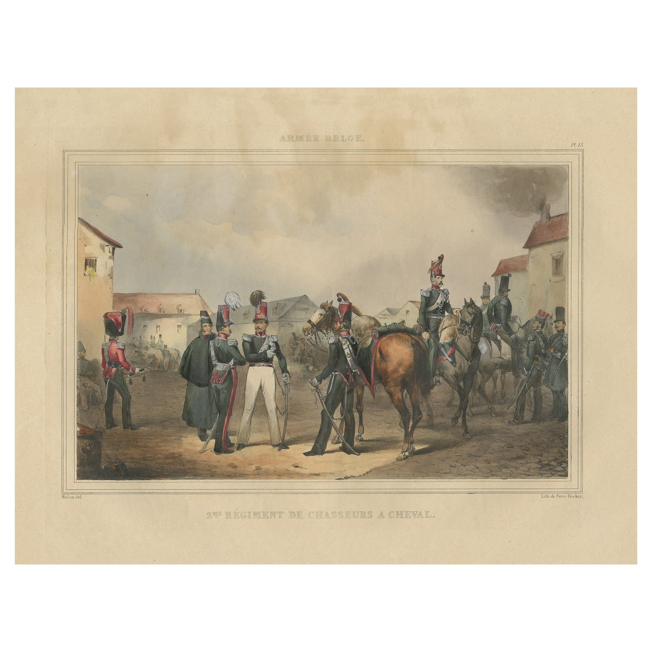
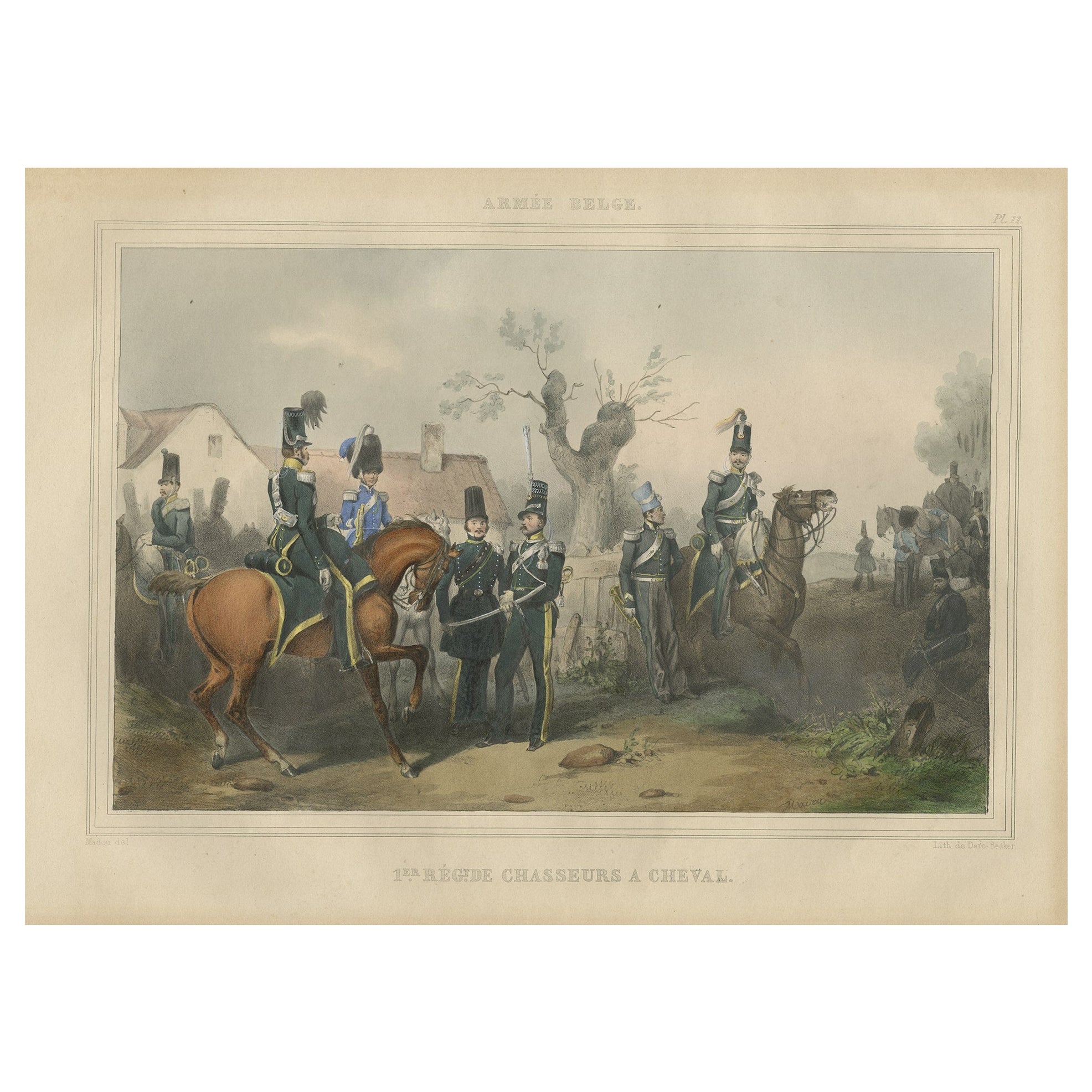
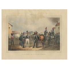
Old Handcolored Print of a Regiment of the Belgium Army, 1833
Located in Langweer, NL
One nicely hand colored print of an original serie of 23 plates, showing soldiers discussing matters in a village. published in 1833. Rare.
From a serie of beautiful lithographed plates with Belgian military costumes after Madou and printed by Dero-Becker. Comes from a Belgian military costume album, dedicated to the Belgian King, and financed by subscribers, some 90 Belgian nobility and officers of the Belgian Army...
Category
Antique 1830s Arms, Armor and Weapons
Materials
Paper
$133 Sale Price
20% Off
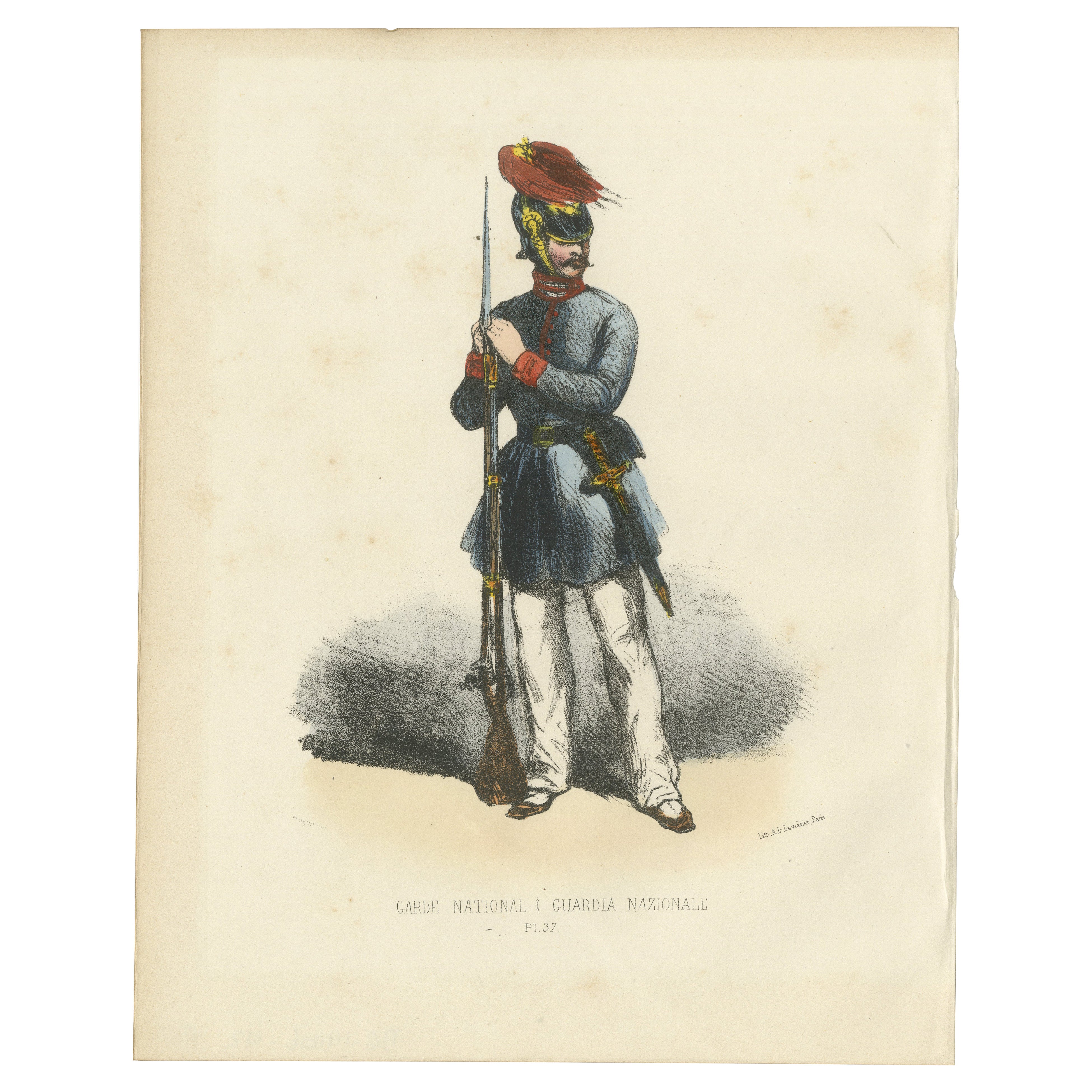
Guardian of Order: Handcolored Print of a National Guard, Plate 37, 1862
Located in Langweer, NL
Guardian of Order: Handcolored Print of a National Guard, Plate 37, 1862
This finely detailed handcolored lithograph, Guardian of Order, is Plate 37 from the 1862 second edition o...
Category
Antique 1860s Prints
Materials
Paper
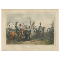
Old Hand-Colored Print of Officers and Horses of the Belgium Army, 1833
Located in Langweer, NL
One nicely hand coloured print of an original serie of 23 plates, showing officers and soldiers discussing matters. published in 1833. Rare.
From a serie of beautiful lithographed...
Category
Antique 1830s Arms, Armor and Weapons
Materials
Paper
$171 Sale Price
20% Off
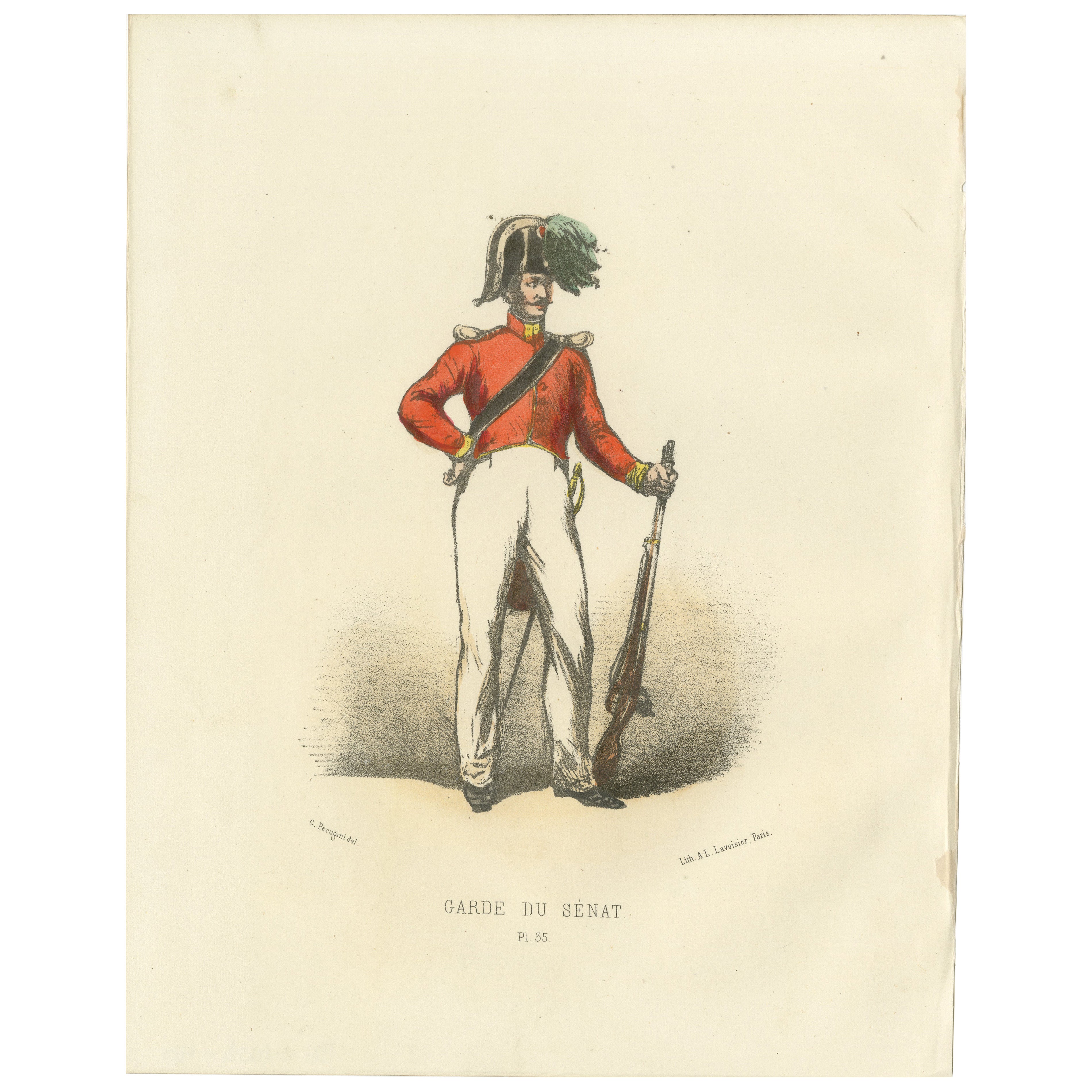
Resolute Protector: Handcolored Print of a Senate Guard, Plate 35, 1862
Located in Langweer, NL
Resolute Protector: Handcolored Print of a Senate Guard, Plate 35, 1862
This impressive handcolored lithograph, Resolute Protector, is Plate 35 from the 1862 second edition of Alb...
Category
Antique 1860s Prints
Materials
Paper
You May Also Like
Edouard Detaille Set of Four, Hand Colored Lithograph
Located in West Palm Beach, FL
Edouard Detaille (1848-1912)
"Soldiers with flag"
Print-multiple, set of four, hand colored lithograph
Measures: Framed height 20.5 in. (52.07 cm.), width 16.37 in. (41.57 cm.)
W...
Category
20th Century Drawings
Materials
Paper
20th Century Military Engravings: Colors, Patina, and French Inscriptions
Located in Barcelona, ES
Immerse yourself in the rich tapestry of history with our exquisite pair of 20th-century military engravings. Adorned with delicate colors and a bea...
Category
20th Century French Mid-Century Modern Prints
Materials
Paper
$425 Sale Price
62% Off
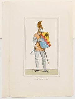
Cavalier - Hand-Colored Lithograph - 19th Century
Located in Roma, IT
Cavalier is an original hand-colored lithograph on paper realized by an Anonymous artist of the XIX century, it represents a cavalier in his particular costume with shield through ha...
Category
19th Century Modern Portrait Prints
Materials
Lithograph
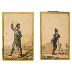
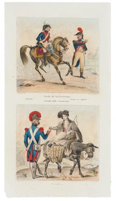
Garde de la Convention and Vivandère - Original Lithograph - 19th Century
Located in Roma, IT
Garde de la Convention and Vivandère is an original hand-colored lithograph on paper realized by an Anonymous artist of the XIX century.
Titled on the lower center.
The state of p...
Category
19th Century Figurative Prints
Materials
Lithograph
Old Original Engraving with soldiers characters France 19th
Located in Auribeau sur Siagne, FR
This is an engraving,black color. Representing Soldiers. It has been made in France in the 19th Century. With the collection stamp.
Category
Antique 19th Century Italian Napoleon III Prints
Materials
Paper
$257 Sale Price / set
20% Off
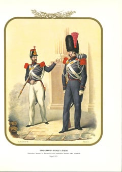
Royal Gendarmerie - Lithograph by Antonio Zezon - 1853
By Antonio Zezon
Located in Roma, IT
Royal Gendarmerie on foot is a lithograph by Antonio Zezon. Naples 1853.
Interesting colored lithograph which describes an Individuals of the Royal Gendarmerie: Provincial Service O...
Category
1850s Modern Figurative Prints
Materials
Lithograph
More Ways To Browse
Terracotta Anthropomorphic
Thomire A Paris
Tiger Sofa
Toilet Italian
Tuscan Terracotta
Used Communion Set
Used Glass Retail Display Cases
Vintage Carriage Clocks
Vintage French Tablecloths
Vintage Hanging Pot
Vintage Hooker
Vintage Mexican Pottery
Vintage Stainless Cabinet
Vintage Travel Clocks
Vintage Woven Trays
Water Color Italian 19th
17th Century American Colonial
18th Century Crucifix