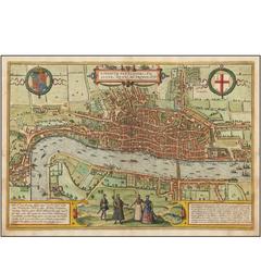
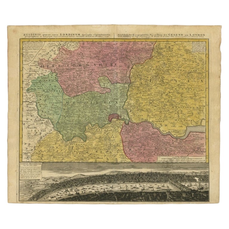
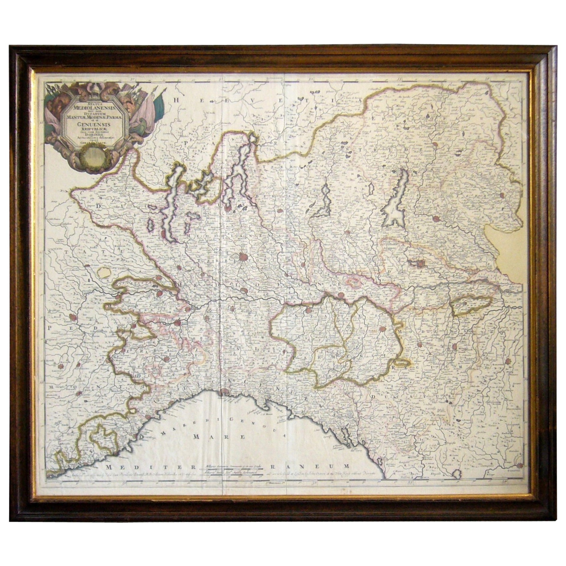
One of the First Maps of London
View Similar Items


1 of 1
One of the First Maps of London
About the Item
- Creator:Georg Braun and Frans Hogenberg (Maker)
- Dimensions:Height: 13 in (33.02 cm)Width: 19 in (48.26 cm)Depth: 1 in (2.54 cm)
- Style:Northern Renaissance (Of the Period)
- Materials and Techniques:Paper,Engraved
- Place of Origin:
- Period:
- Date of Manufacture:1572
- Condition:Hand-colored engraved map. Text on verso.
- Seller Location:La Jolla, CA
- Reference Number:Seller: 481111stDibs: LU228935907303
You May Also Like
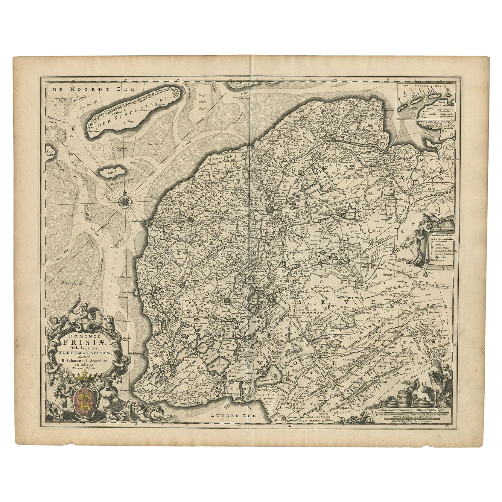
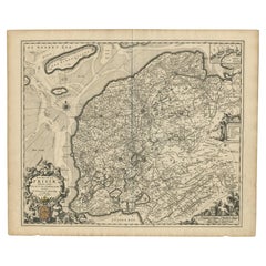
- Beautiful First State Map of Friesland, the Netherlands, c.1665Located in Langweer, NLAntique map titled 'Dominii Frisiae Tabula, inter Flevum et Lavicam'. Beautiful first state map of Friesland, the Netherlands. With small inset map of the Frisian Wadden islands Vlie...Category
Antique 17th Century Maps
MaterialsPaper
 $768 Sale Price20% Off
 - Antique Map of the City of London by Balbi '1847'Located in Langweer, NLAntique map titled 'London'. Original antique map of the city of London. This map originates from 'Abrégé de Géographie (..)' by Adrien Balbi. Published 1847.Category
Antique Mid-19th Century Maps
MaterialsPaper
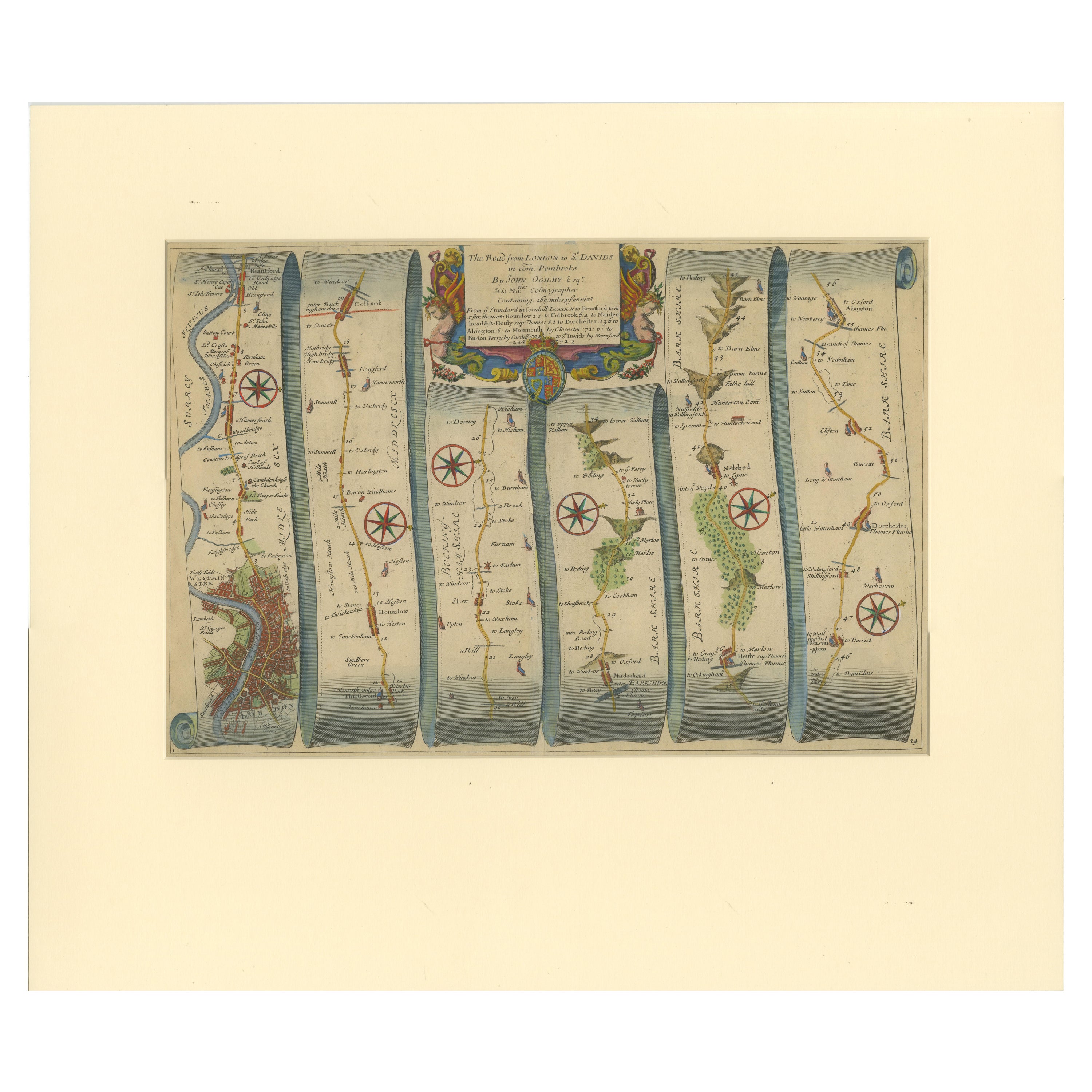
- Original Antique Map of the Road from London to BensingtonLocated in Langweer, NLAntique map titled 'The Road from London to St. Davids in com: Pembroke (..)'. A strip map of the road from London to Bensington. The map is ornamented with numerous compass roses, a...Category
Antique Late 17th Century Maps
MaterialsPaper
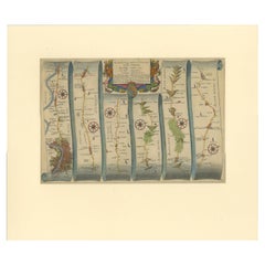 $474 Sale Price20% Off
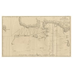
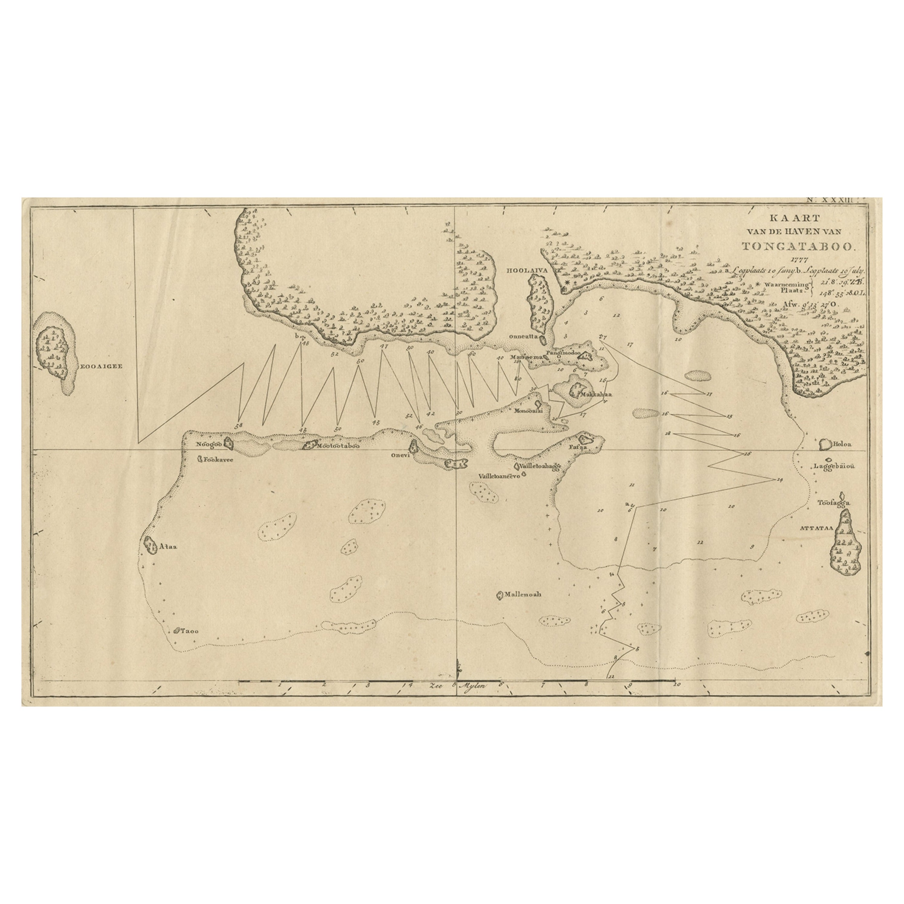
 - Antique Map of the Harbour of Tongatabu, One of the Tonga Islands, 1803Located in Langweer, NLAntique map Tonga titled 'Kaart van de Haven van Tongataboo'. Antique map of the harbour of Tongatabu, one of the Tonga Islands. Originates from 'Reizen Rondom de Waereld door Ja...Category
Antique Early 1800s Maps
MaterialsPaper
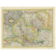
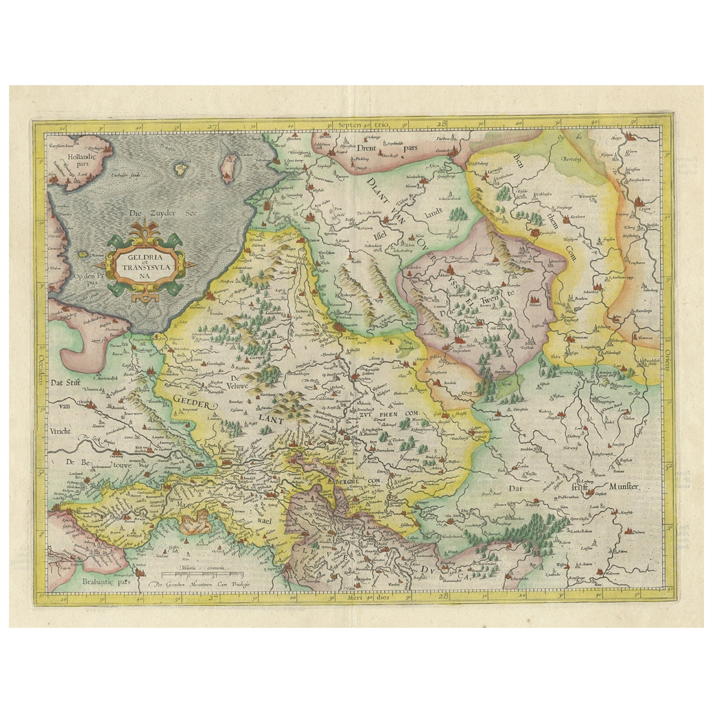
- One of the Earliest Maps of Gelderland and Overijssel in the Netherlands, 1623Located in Langweer, NLAntique map titled 'Geldria et Transysulana'. One of the earliest maps of Gelderland and Overijssel in the Netherlands, prepared by Gerard Mercator. Artists and Engravers: Ger...Category
Antique 1620s Maps
MaterialsPaper
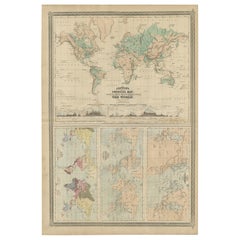
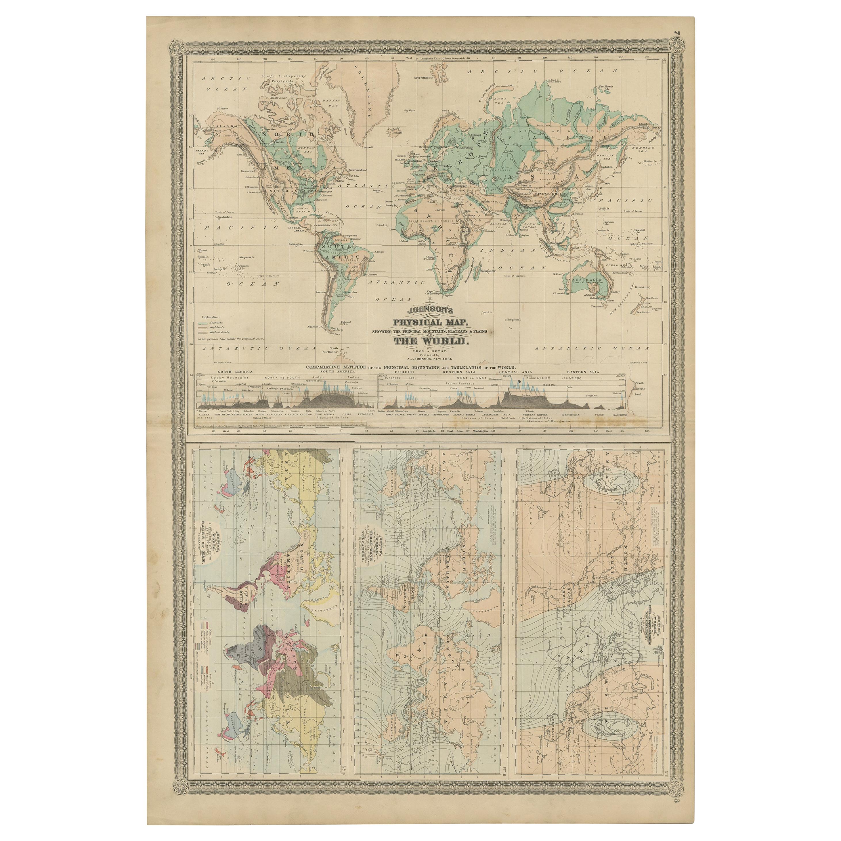
- Four Physical Maps of the World on One Sheet , 1872Located in Langweer, NLFour physical maps of the world on one sheet. The upper map shows lowlands, highlands and highest lands. The other maps show world's races, ocean current and volcanoes, and magnetic ...Category
Antique Late 19th Century Maps
MaterialsPaper