Items Similar to Map of Campaign of 1814 - Etching by Pierre François Tardieu - 1837

Want more images or videos?
Request additional images or videos from the seller
1 of 2
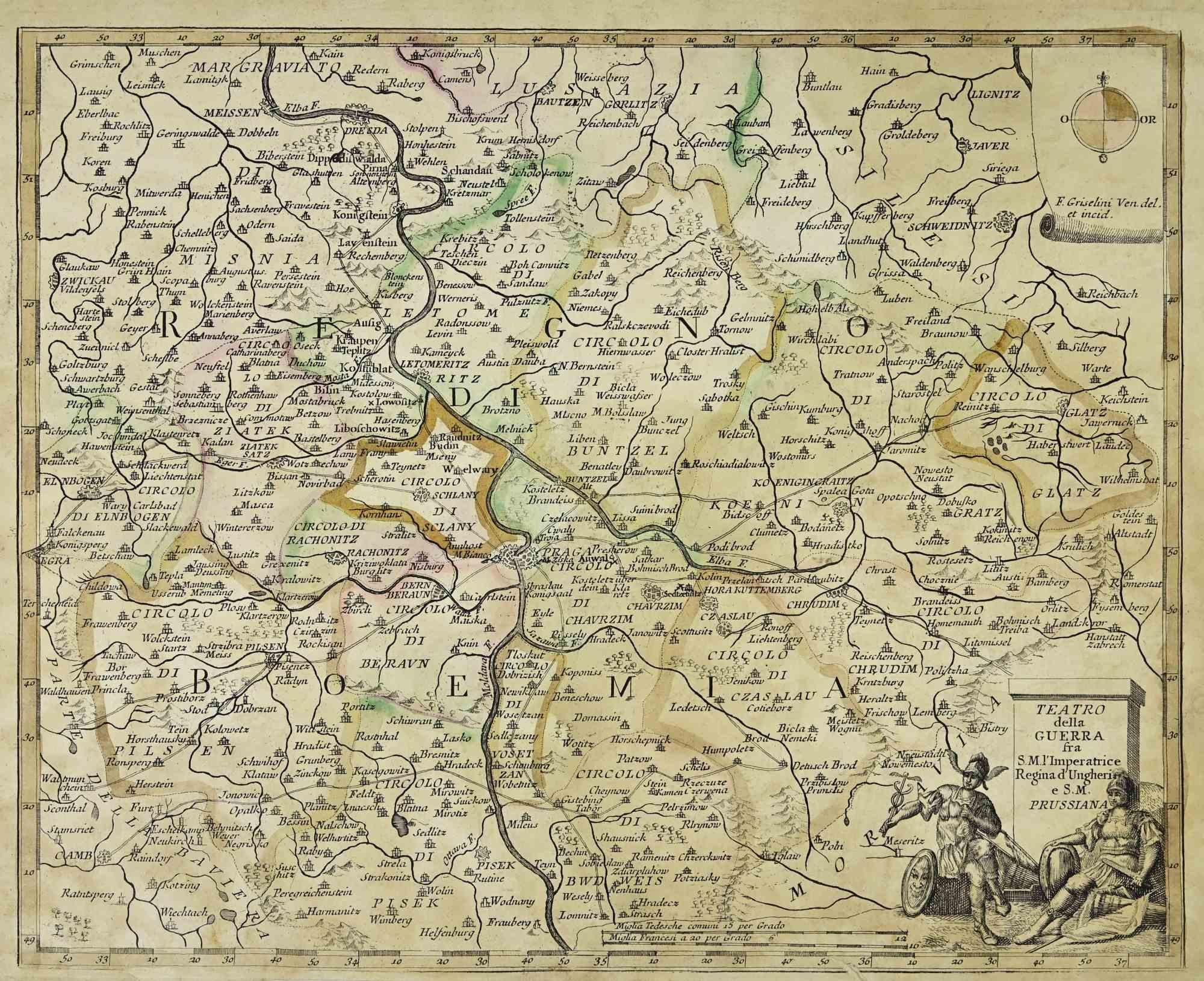
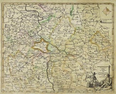
Pierre Francois TardieuMap of Campaign of 1814 - Etching by Pierre François Tardieu - 18371837
1837
$354.11
£269.69
€300
CA$496.38
A$543.05
CHF 283.62
MX$6,489.56
NOK 3,563.35
SEK 3,353.67
DKK 2,285.16
About the Item
Map of Campaign of 1814 is an Etching realized by Pierre François Tardieu in 1837.
Good conditions.
The artwork is realized in a well-balanced composition. the artwork and belongs to the suite suite "AtlasBatt" realized within Jacques Norvins' Histoire de Napoleon, published in 1837. Author Jacques Norvins published one of the most comprehensive and influential histories on the life and military career of Napoleon, trought the works of the most important engravers of the time.
- Creator:Pierre Francois Tardieu
- Creation Year:1837
- Dimensions:Height: 8.47 in (21.5 cm)Width: 11.03 in (28 cm)Depth: 0.04 in (1 mm)
- Medium:
- Movement & Style:
- Period:
- Framing:Framing Options Available
- Condition:Insurance may be requested by customers as additional service, contact us for more information.
- Gallery Location:Roma, IT
- Reference Number:Seller: T-1476221stDibs: LU650314151172
About the Seller
4.9
Platinum Seller
Premium sellers with a 4.7+ rating and 24-hour response times
1stDibs seller since 2017
7,795 sales on 1stDibs
Typical response time: 1 hour
- ShippingRetrieving quote...Shipping from: Grasse, France
- Return Policy
Authenticity Guarantee
In the unlikely event there’s an issue with an item’s authenticity, contact us within 1 year for a full refund. DetailsMoney-Back Guarantee
If your item is not as described, is damaged in transit, or does not arrive, contact us within 7 days for a full refund. Details24-Hour Cancellation
You have a 24-hour grace period in which to reconsider your purchase, with no questions asked.Vetted Professional Sellers
Our world-class sellers must adhere to strict standards for service and quality, maintaining the integrity of our listings.Price-Match Guarantee
If you find that a seller listed the same item for a lower price elsewhere, we’ll match it.Trusted Global Delivery
Our best-in-class carrier network provides specialized shipping options worldwide, including custom delivery.More From This Seller
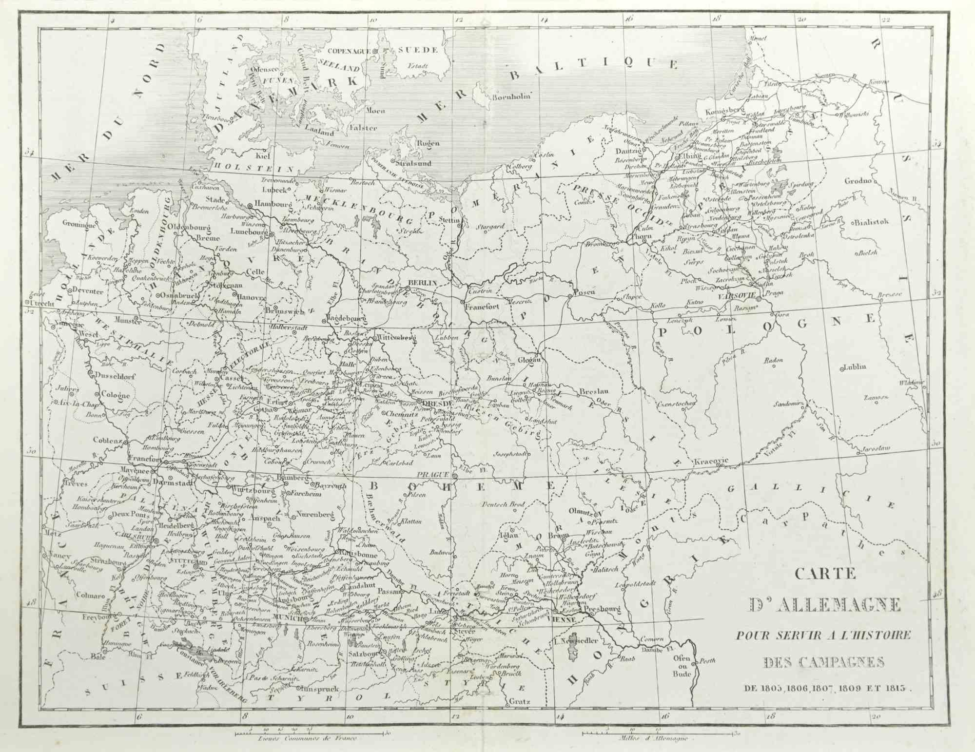
View AllGerman Campaign - Etching by Pierre François Tardieu - 1837
Located in Roma, IT
German campaign is an Etching realized by Pierre François Tardieu in 1837.
Good conditions.
The artwork is realized in a well-balanced composition. the artwork and belongs to the s...
Category
1830s Modern Figurative Prints
Materials
Lithograph
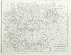
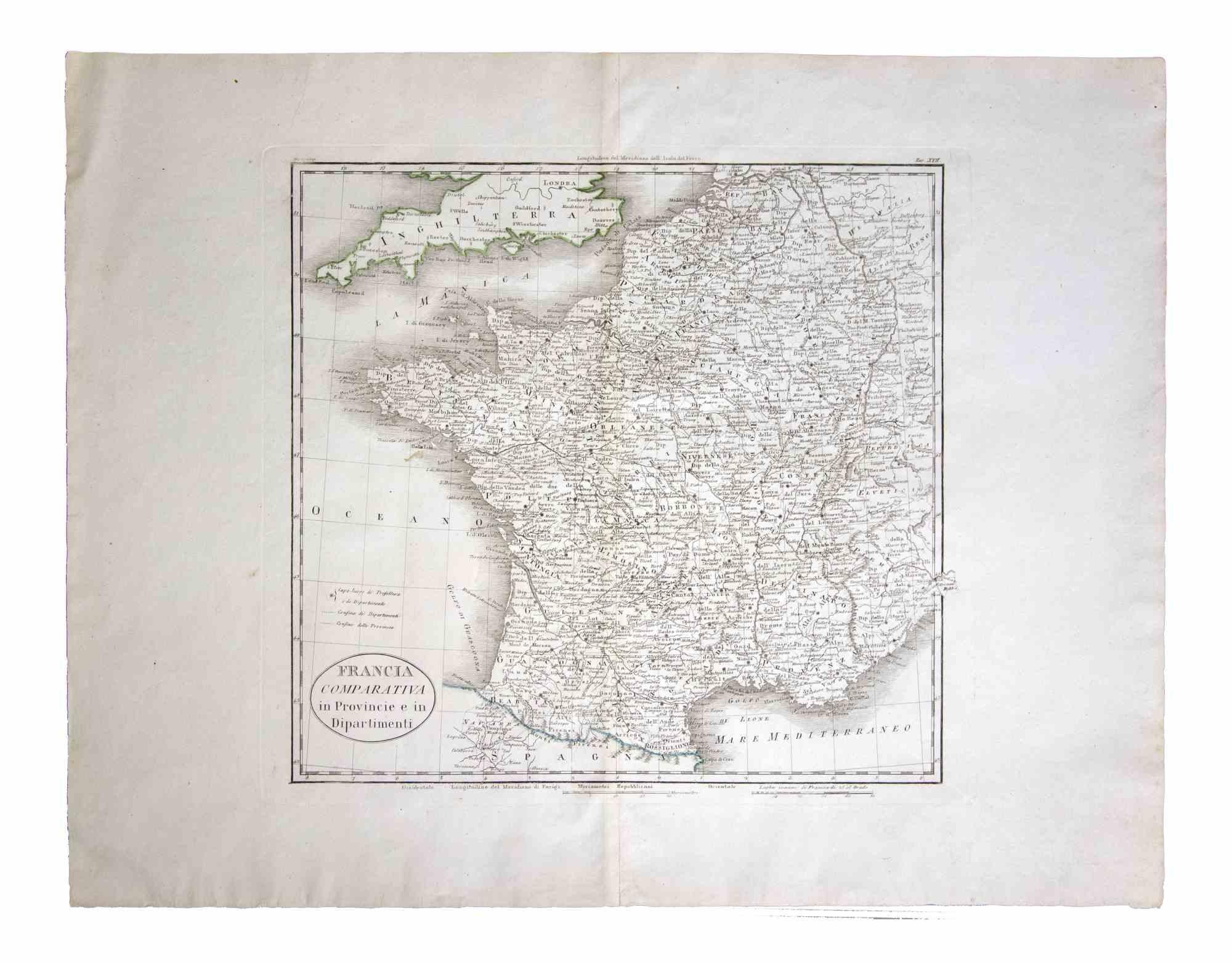
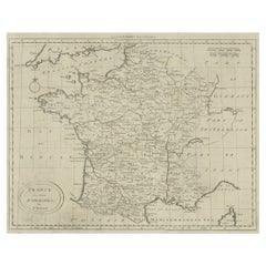
Map of France - Etching - 1820
Located in Roma, IT
Map of France is an Original Etching realized by an unknown artist of 19th century in 1820.
Very good condition on two sheets of white paper joined at t...
Category
1820s Modern Figurative Prints
Materials
Etching

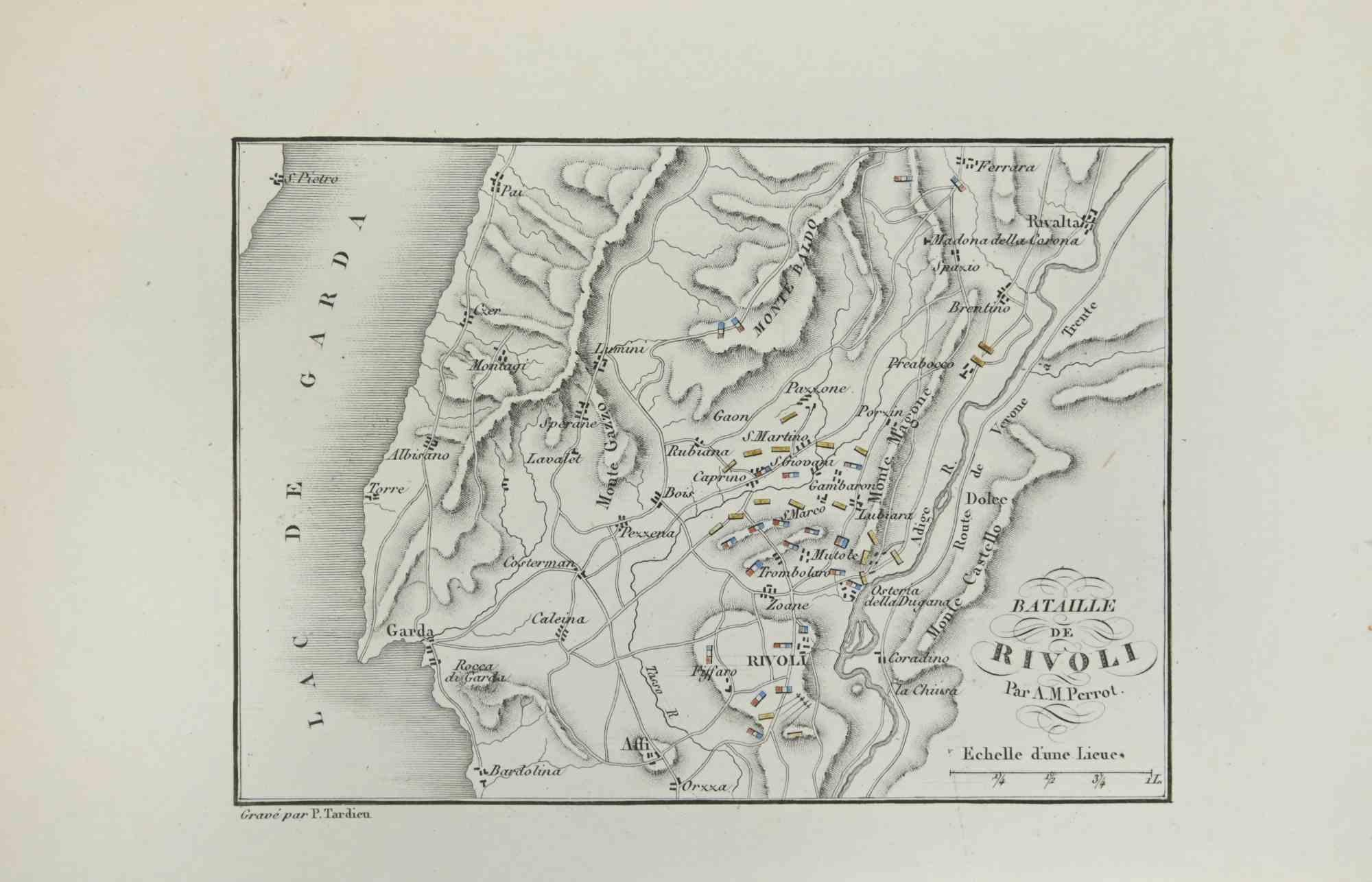
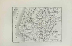
Map of Battle of Rivoli - Etching by Pierre François Tardieu - 1837
Located in Roma, IT
Map of Battle of Rivoli is an Etching realized by Pierre François Tardieu in 1837.
Good conditions.
The artwork is realized in a well-balanced composition. the artwork and belongs ...
Category
1830s Modern Figurative Prints
Materials
Lithograph
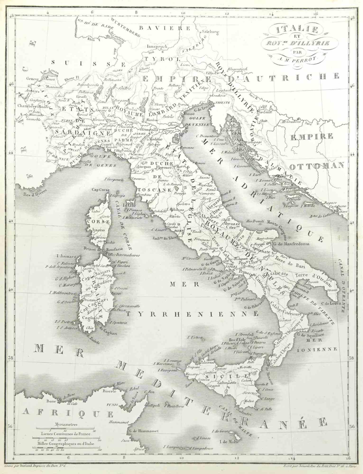
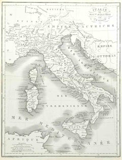
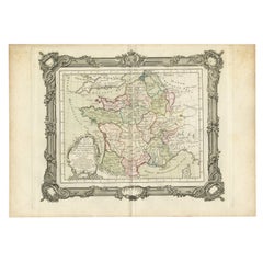
Map of Italy - Etching by Pierre François Tardieu - 1837
Located in Roma, IT
Map of Italy is an Etching realized in 1837.
Good conditions.
The artwork is realized in a well-balanced composition. the artwork and belongs to the suite suite "AtlasBatt" realize...
Category
1830s Modern Figurative Prints
Materials
Lithograph
Map of the War between Hungary and Prussia - Etching - 19th Century
Located in Roma, IT
Map of the War between Hungary and Prussia is an etching realized during the 19th century.
Good condition.
Category
Early 19th Century Modern Figurative Prints
Materials
Etching
Map of the War between Hungary and Prussia - Etching - 19th Century
Located in Roma, IT
Map of the War between Hungary and Prussia is an etching realized during the 19th century.
Good condition.
Category
Early 19th Century Modern Figurative Prints
Materials
Etching

You May Also Like
Antique Map of France by Balbi '1847'
Located in Langweer, NL
Antique map titled 'France'. Original antique map of France. This map originates from 'Abrégé de Géographie (..)' by Adrien Balbi. Published 1847.
Category
Antique Mid-19th Century Maps
Materials
Paper

$118 Sale Price
20% Off
Antique Map of France by Bowen, c.1790
Located in Langweer, NL
Antique map titled 'France from the best Authorities'. Original antique map of France. Engraved for Barlow's General history of Europe. Published circa 1790.
Artists and Engraver...
Category
Antique 18th Century Maps
Materials
Paper
Antique Map of Marne, France – Engraved by Levasseur, 1850s
Located in Langweer, NL
Antique Map of Marne, France – Engraved by Levasseur, 1850s
This beautifully detailed 19th-century engraved map of the Marne department in northeastern France was created by the ren...
Category
Antique Mid-19th Century French Maps
Materials
Paper

Antique Map of France in the 5th Century by Zannoni, 1765
Located in Langweer, NL
Antique map France titled 'Etat de la Gaule (..)'.
Beautiful old map of France. This map originates from 'Atlas Historique de la France Ancienne et Moderne' by M. Rizzi Zannoni. ...
Category
Antique 18th Century Maps
Materials
Paper
Antique Map of the Lorraine Region, c.1760
Located in Langweer, NL
Untitled antique map of the Lorraine region, France. A cultural and historical region in north-eastern France, now located in the administrative region of Grand Est. Lorraine's name ...
Category
Antique 18th Century Maps
Materials
Paper

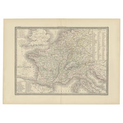
Antique Map of France with Surrounding Countries, 1842
Located in Langweer, NL
Antique map titled 'Carte comparée de la France en 1789 et 1813'. Map of France. This map originates from 'Atlas universel de géographie ancienne et moderne (..)' by Pierre M. Lapie ...
Category
Antique 19th Century Maps
Materials
Paper
More Ways To Browse
Francois Langlois
G Barbier
George Bellows Lithographs
George Harrison Marks
George Rouault Woodcut
Gerard Dou
Giacometti Annette
Giorgio Morandi Etching
Goupil Prints
Henry Moore Sculptural Ideas
Hermes Paris Rue Du Faubourg Saint Honore
Hockney Glasses
Hockney Olympic
Homage To Chagall
Howard Smith
Jane Bazinet
Jim Dine Pace Gallery 1980
Kaws Pink Bff