Large Antique Maps

to
309
812
203
512
335
237
208
168
168
127
117
107
94
84
67
56
56
34
34
31
30
28
27
26
25
21
14
11
10
9
8
7
6
6
6
6
5
4
4
4
4
3
3
3
3
2
2
2
2
74
14
11
11
8
Sort By
Large Original Antique Map of New Hampshire, USA, 1894

Large Original Antique Map of New Hampshire, USA, 1894

By Rand McNally & Co.

Located in St Annes, Lancashire

Fabulous map of New Hampshire Original color By Rand, McNally & Co. Published, 1894 Unframed

Category

1890s American Large Antique Maps

Materials

Paper

Large Original Antique Map of Minnesota, USA, C.1900

Large Original Antique Map of Minnesota, USA, C.1900

Located in St Annes, Lancashire

Fabulous map of Minnesota Original color Engraved and printed by the George F. Cram Company

Category

1890s American Large Antique Maps

Materials

Paper

Large Original Antique Map of Louisiana, USA, C.1900

Large Original Antique Map of Louisiana, USA, C.1900

Located in St Annes, Lancashire

Fabulous map of Louisiana. Original color. Engraved and printed by the George F. Cram Company

Category

1890s American Large Antique Maps

Materials

Paper

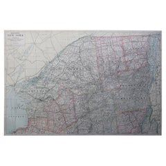
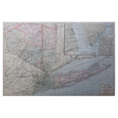
Large Original Antique Map of New York, USA, 1894

Large Original Antique Map of New York, USA, 1894

By Rand McNally & Co.

Located in St Annes, Lancashire

Fabulous map of New York. Original color. By Rand, McNally & Co. Published, 1894 Unframed Free

Category

1890s American Large Antique Maps

Materials

Paper

Large Original Antique Map of Alabama, USA, C.1900

Large Original Antique Map of Alabama, USA, C.1900

Located in St Annes, Lancashire

Fabulous map of Alabama Original color Engraved and printed by the George F. Cram Company

Category

1890s American Large Antique Maps

Materials

Paper

Large Original Vintage Map of Persia / Iran, circa 1920

Large Original Vintage Map of Persia / Iran, circa 1920

Located in St Annes, Lancashire

Great maps of Persia. Unframed. Original color. By John Bartholomew and Co. Edinburgh

Category

1920s British Large Antique Maps

Materials

Paper

Original Antique Map of England and Wales with Large Cartouche

Original Antique Map of England and Wales with Large Cartouche

Located in Langweer, NL

Antique map titled 'Le Royaume d'Angleterre divisé en plusieurs Parties (..)'. Large and rare map

Category

Late 17th Century Large Antique Maps

Materials

Paper

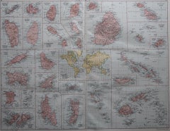
Large Original Antique Map of the The Windward Islands. 1894

Large Original Antique Map of the The Windward Islands. 1894

Located in St Annes, Lancashire

Superb Antique map of The Windward Islands Published Edward Stanford, Charing Cross, London 1894

Category

1890s English Large Antique Maps

Materials

Paper

Antique Japanese Woodblock Print Map, Paper, Circa 1860, Large Size

Antique Japanese Woodblock Print Map, Paper, Circa 1860, Large Size

Located in Langweer, NL

Original Japanese woodblock print map of Japan. Very large and fascinating map, rebacking with

Category

Late 19th Century Large Antique Maps

Materials

Paper

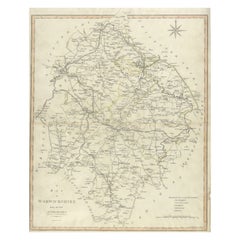
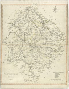
Large Antique County Map of Warwickshire, England, with Hand Coloring

Large Antique County Map of Warwickshire, England, with Hand Coloring

Located in Langweer, NL

Antique map titled 'A Map of Warwickshire from the best Authorities'. Original old county map of

Category

Early 19th Century Large Antique Maps

Materials

Paper

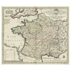
Large Antique Map of Gaul under Roman Rule, ca.1760

Large Antique Map of Gaul under Roman Rule, ca.1760

Located in Langweer, NL

Antique map titled 'Gallia Augustiniana in suas provincias divisa (..)'. Large antique map of Roman

Category

1760s Large Antique Maps

Materials

Paper

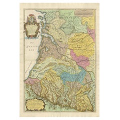
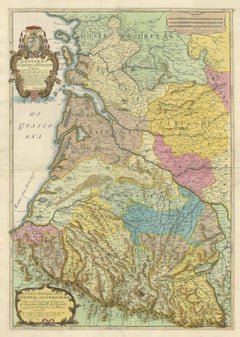
Large 1695 Hand-Colored Engraved Map of Gascony (Gascogna), France

Large 1695 Hand-Colored Engraved Map of Gascony (Gascogna), France

Located in Langweer, NL

This map, created by Giacomo Cantelli da Vignola in 1695, represents the "General Government of

Category

1690s Large Antique Maps

Materials

Paper

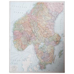
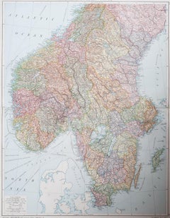
Large Original Vintage Map of Sweden and Norway circa 1920

Large Original Vintage Map of Sweden and Norway circa 1920

Located in St Annes, Lancashire

Great map of Sweden and Norway Original color. Good condition Published by Alexander Gross

Category

1920s English Victorian Large Antique Maps

Materials

Paper

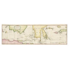
Large Antique Map of the East Indies by Brouwer, 1917

Large Antique Map of the East Indies by Brouwer, 1917

Located in Langweer, NL

Antique map titled 'Geotektonische Schetskaart van het Oostelijk Gedeelte van den Oost-Indischen

Category

Early 20th Century Dutch Large Antique Maps

Materials

Canvas, Paper

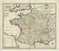
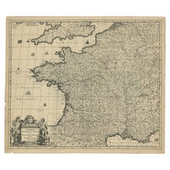
Large Antique Map of France by De Wit, c.1680

Large Antique Map of France by De Wit, c.1680

By Frederick de Wit

Located in Langweer, NL

Antique map titled 'Accuratissima Galliae Tabula vulgo Royaume de France'. Detailed map of France

Category

17th Century Large Antique Maps

Materials

Paper

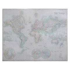
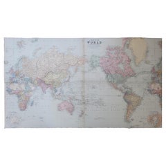
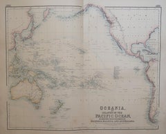
Large Original Antique Map of the World, Fullarton, circa 1870

Large Original Antique Map of the World, Fullarton, circa 1870

Located in St Annes, Lancashire

Great map of the World. From the celebrated Royal Illustrated Atlas Lithograph. Original color

Category

1870s Scottish Large Antique Maps

Materials

Paper

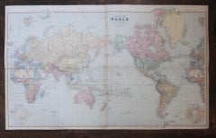
Large Original Antique Map of The World, Fullarton, C.1870

Large Original Antique Map of The World, Fullarton, C.1870

Located in St Annes, Lancashire

Great map of the World. Showing both hemispheres From the celebrated Royal Illustrated Atlas

Category

1870s Scottish Large Antique Maps

Materials

Paper

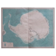
Large Original Vintage Map of the South Pole, circa 1920

Large Original Vintage Map of the South Pole, circa 1920

Located in St Annes, Lancashire

Great map of the South pole. Unframed. Original color. By John Bartholomew and Co

Category

1920s British Large Antique Maps

Materials

Paper

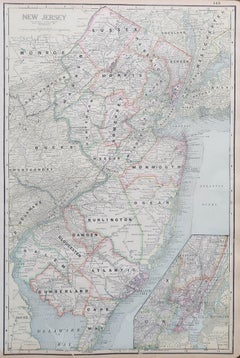
Large Original Antique Map of New Jersey, USA, circa 1900

Large Original Antique Map of New Jersey, USA, circa 1900

Located in St Annes, Lancashire

Fabulous map of New Jersey Original color Engraved and printed by the George F. Cram Company

Category

1890s American Large Antique Maps

Materials

Paper

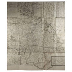
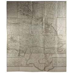
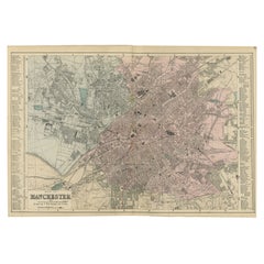
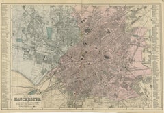
Large Original Antique Folding Map of Manchester, England, Dated 1793

Large Original Antique Folding Map of Manchester, England, Dated 1793

Located in St Annes, Lancashire

Superb map of Manchester and Salford Folding map. Printed on paper laid on to the original canvas

Category

1790s English Georgian Large Antique Maps

Materials

Canvas, Paper

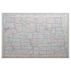
Large Original Antique Map of North Dakota, USA, circa 1900

Large Original Antique Map of North Dakota, USA, circa 1900

Located in St Annes, Lancashire

Fabulous map of North Dakota Original color Engraved and printed by the George F. Cram Company

Category

1890s American Large Antique Maps

Materials

Paper

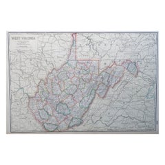
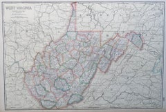
Large Original Antique Map of West Virginia, USA, C.1900

Large Original Antique Map of West Virginia, USA, C.1900

Located in St Annes, Lancashire

Fabulous map of West Virginia Original color Engraved and printed by the George F. Cram Company

Category

1890s American Large Antique Maps

Materials

Paper

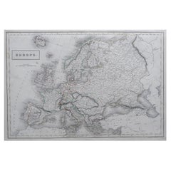
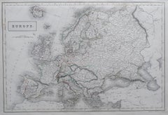
Large Original Antique Map of Europe by Sidney Hall, 1847

Large Original Antique Map of Europe by Sidney Hall, 1847

Located in St Annes, Lancashire

Great map of Europe Drawn and engraved by Sidney Hall Steel engraving Original colour

Category

1840s Scottish Large Antique Maps

Materials

Paper

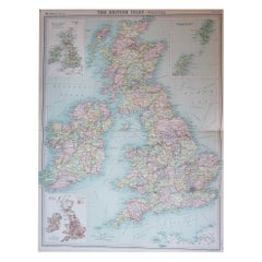
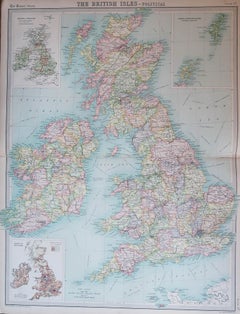
Large Original Vintage Map of the United Kingdom, circa 1920

Large Original Vintage Map of the United Kingdom, circa 1920

Located in St Annes, Lancashire

Great map of The United Kingdom Unframed Original color By John Bartholomew and Co

Category

1920s British Large Antique Maps

Materials

Paper

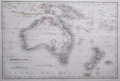
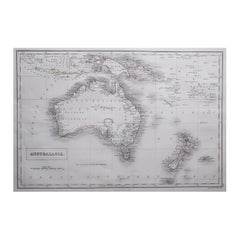
Large Original Antique Map of Australia by Sidney Hall, 1847

Large Original Antique Map of Australia by Sidney Hall, 1847

Located in St Annes, Lancashire

Great map of Australia Drawn and engraved by Sidney Hall Steel engraving Original colour

Category

1840s Scottish Large Antique Maps

Materials

Paper

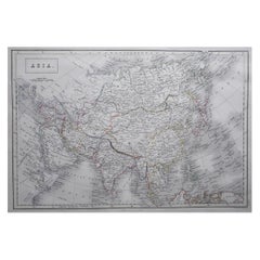
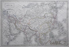
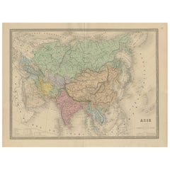
Large Original Antique Map of Asia by Sidney Hall, 1847

Large Original Antique Map of Asia by Sidney Hall, 1847

Located in St Annes, Lancashire

Great map of Asia Drawn and engraved by Sidney Hall Steel engraving Original colour

Category

1840s Scottish Large Antique Maps

Materials

Paper

Large Original Antique Map of Poland by Sidney Hall, 1847

Large Original Antique Map of Poland by Sidney Hall, 1847

Located in St Annes, Lancashire

Great map of Poland Drawn and engraved by Sidney Hall Steel engraving Original colour

Category

1840s Scottish Large Antique Maps

Materials

Paper

Large Scale Antique Scroll Map of Lincolnshire, England, Dated 1778

Large Scale Antique Scroll Map of Lincolnshire, England, Dated 1778

Located in St Annes, Lancashire

Wonderful scroll map of Lincolnshire By Captain Armstrong, 1778 Copper plate engraving on paper

Category

1770s English Georgian Large Antique Maps

Materials

Wood, Paper

Large Original Vintage Map of The North Pole, circa 1920

Large Original Vintage Map of The North Pole, circa 1920

Located in St Annes, Lancashire

Great maps of The North Pole. Unframed. Original color. By John Bartholomew and Co. Edinburgh

Category

1920s British Large Antique Maps

Materials

Paper

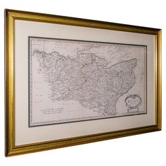
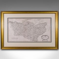
Large Antique Lithography Map of Kent, English, Cartography, Robert Morden, 1700

Large Antique Lithography Map of Kent, English, Cartography, Robert Morden, 1700

Located in Hele, Devon, GB

This is a large antique lithography map of Kent. An English, framed atlas engraving of

Category

Early 18th Century British Queen Anne Large Antique Maps

Materials

Glass, Wood, Paper

Antique Map of the Middle East with a Large Arabia, 1799

Antique Map of the Middle East with a Large Arabia, 1799

Located in Langweer, NL

Antique map titled 'Perse, Turquie Asiatique et Arabie (..)'. Map of the Middle East with a large

Category

Late 18th Century French Large Antique Maps

Materials

Paper

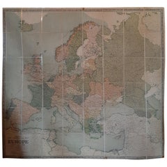
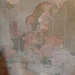
Large Wall Map of Europe by George Philip & Son, circa 1920

Large Wall Map of Europe by George Philip & Son, circa 1920

Located in Langweer, NL

Antique map titled 'Philips' New Commercial Map of Europe'. Very large wall map of Europe including

Category

Early 20th Century British Large Antique Maps

Materials

Paper, Linen

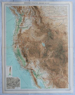
Large Vintage Maps of the United States, in 3 Sections, 1920

Large Vintage Maps of the United States, in 3 Sections, 1920

Located in St Annes, Lancashire

Great maps of the USA in 3 sections Unframed Original color By John Bartholomew and Co

Category

1920s British Large Antique Maps

Materials

Paper

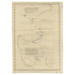
Large Antique Map of Bass Strait, Tasmania, Australia by Cook, 1803

Large Antique Map of Bass Strait, Tasmania, Australia by Cook, 1803

Located in Langweer, NL

Antique map Australia titled 'Kaart van Basses Straat tusschen Nieuw Zuid Wales en van Diemensland

Category

19th Century Dutch Large Antique Maps

Materials

Paper

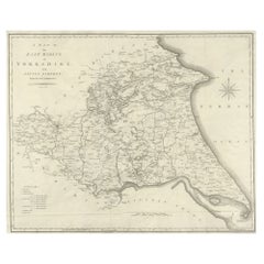
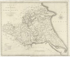
Large Antique County Map of the East Riding of Yorkshire, England

Large Antique County Map of the East Riding of Yorkshire, England

Located in Langweer, NL

Antique map titled 'A Map of the East Riding of Yorkshire from the best Authorities'. Original old

Category

Early 19th Century Large Antique Maps

Materials

Paper

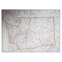
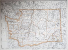
Large Original Antique Map of The State of Washington, USA, 1894

Large Original Antique Map of The State of Washington, USA, 1894

By Rand McNally & Co.

Located in St Annes, Lancashire

Fabulous map of Washington. Original color. By Rand, McNally & Co. Published, 1894

Category

1890s American Large Antique Maps

Materials

Paper

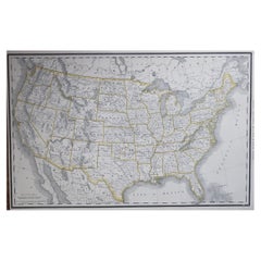
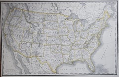
Large Original Antique Map of the United States of America. 1891

Large Original Antique Map of the United States of America. 1891

By Rand McNally & Co.

Located in St Annes, Lancashire

Fabulous map of The United States Original color By Rand, McNally & Co. Dated 1891 Unframed

Category

1890s American Large Antique Maps

Materials

Paper

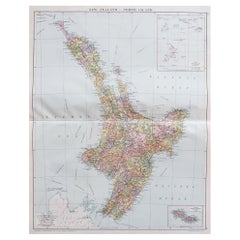
Large Original Vintage Map of New Zealand, North Island, circa 1920

Large Original Vintage Map of New Zealand, North Island, circa 1920

Located in St Annes, Lancashire

Great map of North Island, New Zealand Original color. Good condition / minor foxing to

Category

1920s English Edwardian Large Antique Maps

Materials

Paper

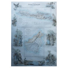
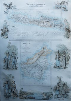
Large Original Antique Map of Java and Borneo, Fullarton, C.1870

Large Original Antique Map of Java and Borneo, Fullarton, C.1870

Located in St Annes, Lancashire

Great map of Java and Borneo Wonderful figurative borders From the celebrated Royal Illustrated

Category

1870s Scottish Large Antique Maps

Materials

Paper

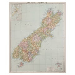
Large Original Vintage Map of New Zealand, South Island, circa 1920

Large Original Vintage Map of New Zealand, South Island, circa 1920

Located in St Annes, Lancashire

Great map of South Island, New Zealand Original color. Good condition / repair to a minor

Category

1920s English Edwardian Large Antique Maps

Materials

Paper

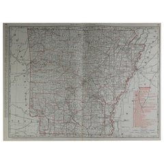
Large Original Antique Map of Arkansas by Rand McNally, circa 1900

Large Original Antique Map of Arkansas by Rand McNally, circa 1900

By Rand McNally & Co.

Located in St Annes, Lancashire

Fabulous monochrome map with red outline color Original color By Rand, McNally & Co

Category

Early 1900s American Edwardian Large Antique Maps

Materials

Paper

Original Large Antique Map of Paris, France by John Dower, 1861

Original Large Antique Map of Paris, France by John Dower, 1861

Located in St Annes, Lancashire

Fabulous monochrome map of Paris. Vignettes of St Germain En Laye, Saint Cloud, Versailles and

Category

1860s English Victorian Large Antique Maps

Materials

Paper

  • 1
  • ...
Get Updated with New Arrivals
Save "Large Antique Maps", and we’ll notify you when there are new listings in this category.

Large Antique Maps For Sale on 1stDibs

There is a range of large antique maps for sale on 1stDibs. Frequently made of paper, wood and fabric, all large antique maps available were constructed with great care. Large antique maps have been made for many years, and versions that date back to the 18th Century alongside those produced as recently as the 20th Century. Large antique maps made by Victorian designers — as well as those associated with Georgian — are very popular at 1stDibs. Large antique maps have been a part of the life’s work for many furniture makers, but those produced by Rand McNally & Co., Nicolas Sanson and Frederick de Wit are consistently popular.
Finding the Right Collectibles-curiosities for You

Antique and vintage collectibles and curiosities can bring whimsy and wonder to any interior. 

Decorating with old scientific instruments, historical memorabilia and vintage musical instruments, as well as other authentic collectibles and curiosities that can be found on 1stDibs, presents an opportunity to create a unique, natural history museum-like atmosphere in your home that can provoke conversation as often as it pays tribute to how far we’ve come in understanding our world. 

And bringing collectibles and curiosities into your space is actually on trend — Wunderkammern, or curiosity cabinets, were all the rage in Europe during the 1500s and continued to have adherents there and in the U.S. in the following centuries. Today, however, they’re experiencing a real surge in popularity and influencing how many interior designers are furnishing and decorating homes — combining contemporary with antique, scientific with tribal, earthly with extraterrestrial, Les Lalanne tables with Flemish tapestries.
The original Wunderkammern were entire rooms filled with objects demonstrating their owners’ worldly knowledge: A proper one included artificiala or preciosa (objets d’art); naturalia (such as skeletons, shells, minerals); exotica (taxidermy or dried plants); and scientifica (scientific instruments), frequently alongside religious relics and ancient artifacts.

Pay tribute to a history of rich and diverse musical traditions that have taken shape all over the world by decorating your home with a collection of antique and vintage musical instruments — with a little help from strong hanging wire or some wall hooks, vintage brass instruments such as a gong, French horn or trumpet can help elevate a home office or complement the efforts you’ve made to ensure a welcoming vibe in your home’s entryway. Bells or antique wind instruments can add provocative metallic contrasts to dark woods as tabletop decorative objects.  
Create an intriguing focal point with Georgian scientific instruments, such as stick barometers with mahogany cases or lacquered brass telescopes. These items stem from an era named for the monarchies of the four King Georges, who ruled England in succession starting in 1714 (plus King William’s reign, which lasted until 1837). Just as there was beautiful jewelry produced during the period that today is coveted by collectors, there is much to be found in the collectibles and curiosities realm too.

Wanderlust, nostalgia and a shared love of good design are contributing factors to certain trends in decorating — just as vintage trunks and luggage have reappeared as furniture or home accents in a bedroom or foyer, decorating with globes, maps or nautical objects is similarly rooted in the allure of travel and a penchant for the stylish finishing touch that collectibles bring to our homes.

Find a wide range of antique and vintage collectibles and curiosities on 1stDibs.