Antique Map Of Middle East

to
42
175
8
114
74
59
36
23
21
21
18
17
13
11
10
10
9
8
7
6
5
5
4
4
3
2
2
2
2
2
2
2
2
1
1
1
1
1
1
4
1
1
1
1
Sort By
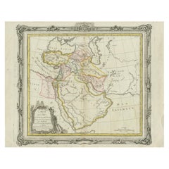
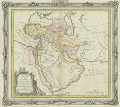
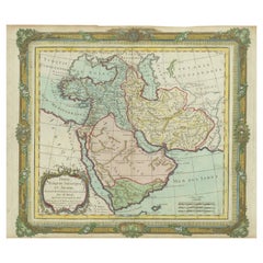
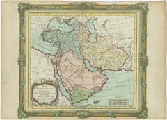
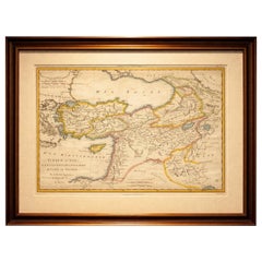
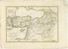
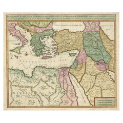
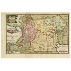
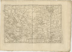
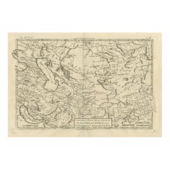
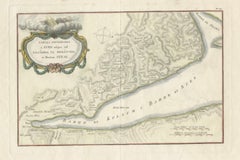
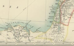
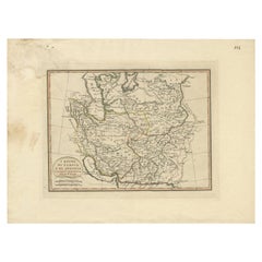
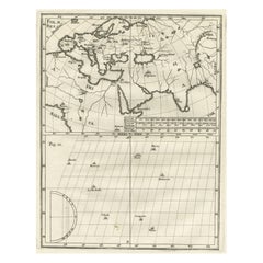
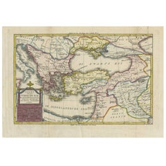
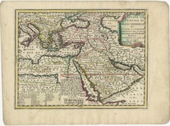
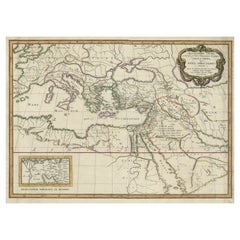
Antique Map of the Middle East by Brion de la Tour '1772'

Antique Map of the Middle East by Brion de la Tour '1772'

Located in Langweer, NL

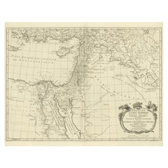
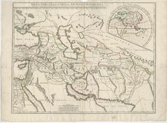
Antique map titled 'Carte des Pays et Principaux Lieux (..)'. Original antique map of Middle East

Category

Antique Late 18th Century Maps

Materials

Paper

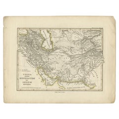
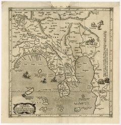
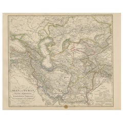
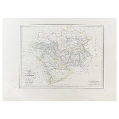
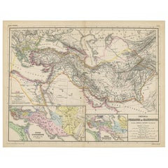
Antique Map of the Middle East by Perthes, 1848

Antique Map of the Middle East by Perthes, 1848

Located in Langweer, NL

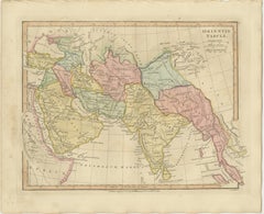
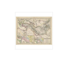
Antique map titled 'Terra inter Euphratem et Indum Antiqua'. Old map of the Middle East originating

Category

Antique 19th Century Maps

Materials

Paper

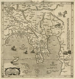
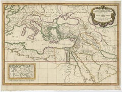
Antique Map of the Middle East by Smith, 1809

Antique Map of the Middle East by Smith, 1809

Located in Langweer, NL

Antique map titled 'Regiones inter Euphraten et Indum'. Old map of the Middle East showing the

Category

Antique 19th Century Maps

Materials

Paper

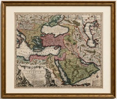
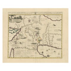
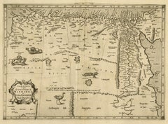
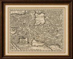
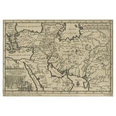
Antique Map of the Middle East by Mortier, 1700

Antique Map of the Middle East by Mortier, 1700

Located in Langweer, NL

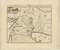
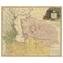
Antique map titled 'Carte de la Situation du Paradis Terrestre (..)'. Detailed map of the Holy Land

Category

Antique 18th Century Maps

Materials

Paper

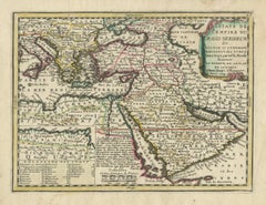
Antique Map of the Middle East with a Large Arabia, 1799

Antique Map of the Middle East with a Large Arabia, 1799

Located in Langweer, NL

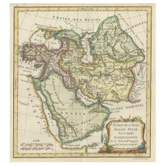
Antique map titled 'Perse, Turquie Asiatique et Arabie (..)'. Map of the Middle East with a large

Category

Antique Late 18th Century French Maps

Materials

Paper

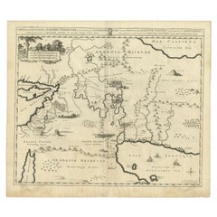
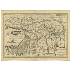
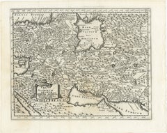
Antique Bible Map of the Middle East by A. Schut, 1743

Antique Bible Map of the Middle East by A. Schut, 1743

Located in Langweer, NL

Antique map titled 'De Gelegentheyt van 't Paradys en 't Landt Canaan'. Dutch Bible map covering

Category

Antique Mid-18th Century Maps

Materials

Paper

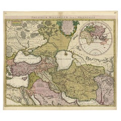
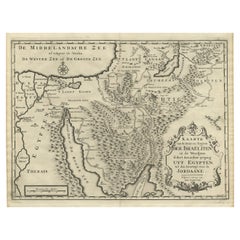
Finely Engraved Historical Map of Middle East and Asia, c.1745

Finely Engraved Historical Map of Middle East and Asia, c.1745

Located in Langweer, NL

historical map with a profusion of details. It shows the Middle East and Asia. Decorative title cartouche and
Category

Antique 1740s Maps

Materials

Paper

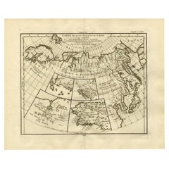
Antique Map of North and East Asia, 1751

Antique Map of North and East Asia, 1751

Located in Langweer, NL

Map 2: 'Carte des parties nord et est de L'Asie'. (Map of the Northern parts and East Asia.) Five

Category

Antique 18th Century French Maps

Materials

Paper

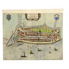
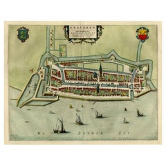
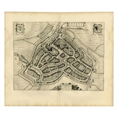
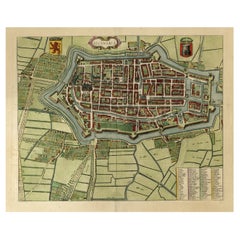
Antique Map of Stavoren by Blaeu, 1649

Antique Map of Stavoren by Blaeu, 1649

Located in Langweer, NL

Antique map titled 'Staveren'. Original antique map of the city of Stavoren, Friesland, The

Category

Antique 17th Century Maps

Materials

Paper

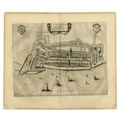
Antique Map of Stavoren by Blaeu, 1649

Antique Map of Stavoren by Blaeu, 1649

Located in Langweer, NL

Antique map titled 'Staveren'. Original antique map of the city of Stavoren, Friesland, The

Category

Antique 17th Century Maps

Materials

Paper

Antique Map of Stavoren by Blaeu, 1649

Antique Map of Stavoren by Blaeu, 1649

Located in Langweer, NL

Antique map titled 'Staveren'. Original antique map of the city of Stavoren, Friesland, The

Category

Antique 17th Century Maps

Materials

Paper

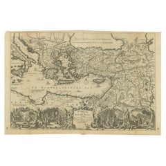
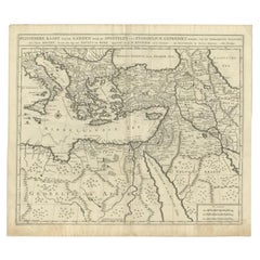
Antique Map of the Eastern Mediterranean, C.1710

Antique Map of the Eastern Mediterranean, C.1710

Located in Langweer, NL

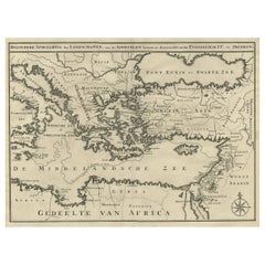
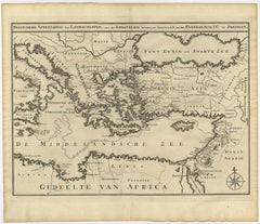
Antique map Middle East titled 'De Beschryving van de Reysen Pauli en van de Andere Apostelen

Category

Antique 18th Century Maps

Materials

Paper

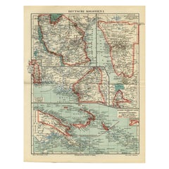
Antique Map of German Colonies by Meyer, 1895

Antique Map of German Colonies by Meyer, 1895

Located in Langweer, NL

Antique map titled 'Deutsche Kolonien.' Lithographed map of the German Colonies. German East-Africa

Category

Antique 19th Century Maps

Materials

Paper

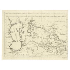
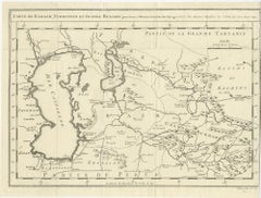
Antique Map of Turkestan & Central Asia – Bellin, 1749

Antique Map of Turkestan & Central Asia – Bellin, 1749

Located in Langweer, NL

Antique Map of Turkestan & Central Asia – Bellin, 1749 Description Antique engraved map titled

Category

Antique Mid-18th Century Maps

Materials

Paper

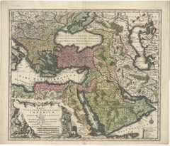
Antique Map of the City of Sneek by Blaeu, 1652

Antique Map of the City of Sneek by Blaeu, 1652

Located in Langweer, NL

Antique map titled: 'Sneeck.' Bird's-eye view plan of Sneek, Friesland, The Netherlands. From a
Category

Antique 17th Century Maps

Materials

Paper

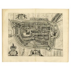
Antique Map of the City of Franeker by Blaeu, 1652

Antique Map of the City of Franeker by Blaeu, 1652

Located in Langweer, NL

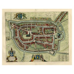
Antique map titled 'Franekera'. Old map of the city of Franeker, Friesland. Also shows two

Category

Antique 17th Century Maps

Materials

Paper

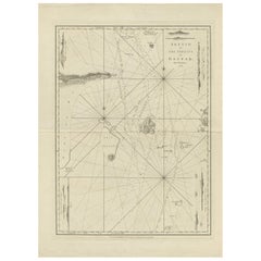
Antique Map of the Gaspar Strait by Huddart, '1788'

Antique Map of the Gaspar Strait by Huddart, '1788'

Located in Langweer, NL

Antique map titled 'Sketch of the Straits of Gaspar'. Detailed sea chart of the Gaspar Strait

Category

Antique Late 18th Century Maps

Materials

Paper

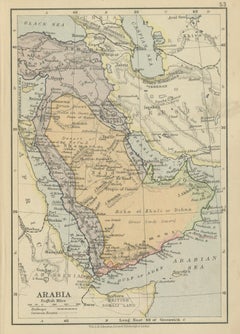
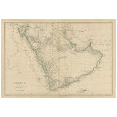
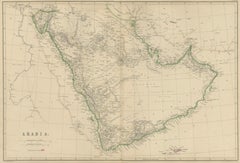
Arabia, Antique Map of the Arabian Peninsula, Blackie Atlas 1860

Arabia, Antique Map of the Arabian Peninsula, Blackie Atlas 1860

Located in Langweer, NL

, Arabian Peninsula map, antique Arabia map, Middle East map, Arabia 19th century, Hejaz, Nejd, Yemen, Oman

Category

Antique Mid-19th Century British Maps

Materials

Paper

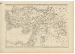
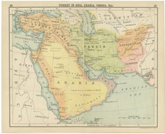
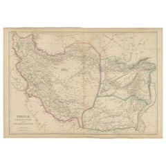
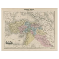
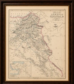
Antique Map of Turkey in Asia, Arabia, Persia, ca.1890

Antique Map of Turkey in Asia, Arabia, Persia, ca.1890

Located in Langweer, NL

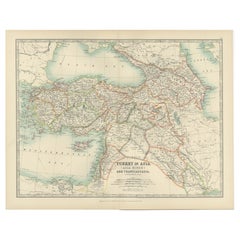
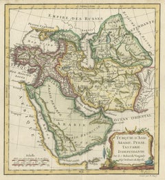
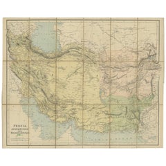
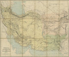
Antique Map of Turkey in Asia, Arabia, Persia, ca.1890 A finely engraved and beautifully hand

Category

Antique Late 19th Century British Maps

Materials

Paper

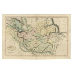
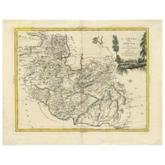
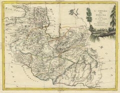
Antique Map of Persia, Georgia and Tartary, Bonne, c.1780

Antique Map of Persia, Georgia and Tartary, Bonne, c.1780

Located in Langweer, NL

Antique Map of Persia, Georgia and Tartary, Bonne, c.1780 A finely engraved 18th-century map

Category

Antique Late 18th Century French Maps

Materials

Paper

Antique Map of Persia and Georgia by Rigobert Bonne, Circa 1780

Antique Map of Persia and Georgia by Rigobert Bonne, Circa 1780

Located in Langweer, NL

Persia, Georgia & Central Asia – Antique Map, Bonne c1780 Description: Covering Persia, Georgia

Category

Antique Late 18th Century French Maps

Materials

Paper

Antique Map of Flanders, Belgium by Homann Heirs, c.1735

Antique Map of Flanders, Belgium by Homann Heirs, c.1735

Located in Langweer, NL

Antique map titled 'Comitatus Flandriae in omnes ejusdem subjecentes Ditioes (..).' Original

Category

Antique 18th Century Maps

Materials

Paper

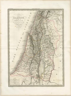
Antique Map of Palestine and the Holy Land – Lapie, Paris, 1838

Antique Map of Palestine and the Holy Land – Lapie, Paris, 1838

Located in Langweer, NL

Antique Map of Palestine and the Holy Land – Lapie, Paris, 1838 This elegant and finely engraved

Category

Antique Early 19th Century French Maps

Materials

Paper

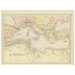
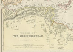
19th Century Antique Map of Mediterranean Shores by Blackie & Son

19th Century Antique Map of Mediterranean Shores by Blackie & Son

Located in Langweer, NL

the Middle East. Topographical features such as mountain ranges, valleys, and plateaus are carefully

Category

Antique 1880s British Maps

Materials

Paper

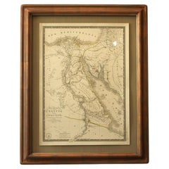
Antique Map of Syria, Egypt and the Nile Delta – Lapie, 1838

Antique Map of Syria, Egypt and the Nile Delta – Lapie, 1838

Located in Langweer, NL

Antique Map Syria Egypt Nile Delta, Lapie 1838 – Hand Colored Engraving This finely detailed

Category

Antique Early 19th Century French Maps

Materials

Paper

Antique Map of Sinai and Gulf of Suez by Niebuhr, Arabia, c.1774

Antique Map of Sinai and Gulf of Suez by Niebuhr, Arabia, c.1774

Located in Langweer, NL

Amsterdam. This map forms part of Niebuhr’s groundbreaking documentation of the Middle East, produced

Category

Antique Late 18th Century Dutch Maps

Materials

Paper

Antique Map of Arabia, Red Sea & Persian Gulf by Rigobert Bonne, 1780

Antique Map of Arabia, Red Sea & Persian Gulf by Rigobert Bonne, 1780

Located in Langweer, NL

. Keywords: Arabia map, Red Sea map, Persian Gulf map, Middle East cartography, antique Arabian map, Rigobert

Category

Antique Late 18th Century French Maps

Materials

Paper

  • 1
Get Updated with New Arrivals
Save "Antique Map Of Middle East", and we’ll notify you when there are new listings in this category.

Antique Map Of Middle East For Sale on 1stDibs

At 1stDibs, there are many versions of the ideal antique map of middle east for your home. Each antique map of middle east for sale was constructed with extraordinary care, often using paper, bone and canvas. There are many kinds of the antique map of middle east you’re looking for, from those produced as long ago as the 18th Century to those made as recently as the 20th Century. A well-made antique map of middle east has long been a part of the offerings for many furniture designers and manufacturers, but those produced by Homann Heirs, Johannes Janssonius and Johannes Nieuhof are consistently popular.

Finding the Right Collectibles-curiosities for You

Antique and vintage collectibles and curiosities can bring whimsy and wonder to any interior. 

Decorating with old scientific instruments, historical memorabilia and vintage musical instruments, as well as other authentic collectibles and curiosities that can be found on 1stDibs, presents an opportunity to create a unique, natural history museum-like atmosphere in your home that can provoke conversation as often as it pays tribute to how far we’ve come in understanding our world. 

And bringing collectibles and curiosities into your space is actually on trend — Wunderkammern, or curiosity cabinets, were all the rage in Europe during the 1500s and continued to have adherents there and in the U.S. in the following centuries. Today, however, they’re experiencing a real surge in popularity and influencing how many interior designers are furnishing and decorating homes — combining contemporary with antique, scientific with tribal, earthly with extraterrestrial, Les Lalanne tables with Flemish tapestries.

The original Wunderkammern were entire rooms filled with objects demonstrating their owners’ worldly knowledge: A proper one included artificiala or preciosa (objets d’art); naturalia (such as skeletons, shells, minerals); exotica (taxidermy or dried plants); and scientifica (scientific instruments), frequently alongside religious relics and ancient artifacts.

Pay tribute to a history of rich and diverse musical traditions that have taken shape all over the world by decorating your home with a collection of antique and vintage musical instruments — with a little help from strong hanging wire or some wall hooks, vintage brass instruments such as a gong, French horn or trumpet can help elevate a home office or complement the efforts you’ve made to ensure a welcoming vibe in your home’s entryway. Bells or antique wind instruments can add provocative metallic contrasts to dark woods as tabletop decorative objects.  

Create an intriguing focal point with Georgian scientific instruments, such as stick barometers with mahogany cases or lacquered brass telescopes. These items stem from an era named for the monarchies of the four King Georges, who ruled England in succession starting in 1714 (plus King William’s reign, which lasted until 1837). Just as there was beautiful jewelry produced during the period that today is coveted by collectors, there is much to be found in the collectibles and curiosities realm too.

Wanderlust, nostalgia and a shared love of good design are contributing factors to certain trends in decorating — just as vintage trunks and luggage have reappeared as furniture or home accents in a bedroom or foyer, decorating with globes, maps or nautical objects is similarly rooted in the allure of travel and a penchant for the stylish finishing touch that collectibles bring to our homes.

Find a wide range of antique and vintage collectibles and curiosities on 1stDibs.