Items Similar to 18th Century Emanuel Bowen Map of County of York, c.1740
Want more images or videos?
Request additional images or videos from the seller
1 of 16
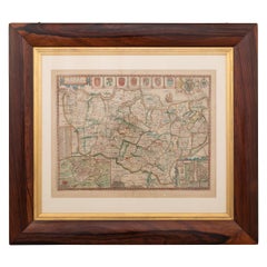
18th Century Emanuel Bowen Map of County of York, c.1740
About the Item
Antique 18th century British rare and original Emanuel Bowen (1694-1767) map of the County of York divided into its Ridings and subdivided into wapontakes, mounted in solid wood frame with glazed front.
Emanuel Bowen was a Welsh map engraver, who achieved the unique distinction of becoming Royal Mapmaker to both to King George II of Great Britain and Louis XV of France. Bowen was highly regarded by his contemporaries for producing some of the largest, most detailed and most accurate maps of his era.
Condition
In good condition - Wear as expected with age and comes newly framed.
Size
Height: 57.5cm
Width: 74.5cm.
- Creator:Emanuel Bowen (Maker)
- Dimensions:Height: 22.64 in (57.5 cm)Width: 29.34 in (74.5 cm)Depth: 0.79 in (2 cm)
- Materials and Techniques:
- Place of Origin:
- Period:
- Date of Manufacture:circa 1740
- Condition:Wear consistent with age and use. Minor fading. In Good Condition - Wear as expected with age and comes newly framed.
- Seller Location:Royal Tunbridge Wells, GB
- Reference Number:
About the Seller
5.0
Platinum Seller
These expertly vetted sellers are 1stDibs' most experienced sellers and are rated highest by our customers.
Established in 2014
1stDibs seller since 2015
373 sales on 1stDibs
Typical response time: <1 hour
- ShippingRetrieving quote...Ships From: Royal Tunbridge Wells, United Kingdom
- Return PolicyA return for this item may be initiated within 14 days of delivery.
More From This SellerView All
- 18th Century French Cast Iron Bound Strong Box, c.1740Located in Royal Tunbridge Wells, KentAntique mid-18th century cast iron travel safe. Probably manufactured in France for storing money, important documents or jewellery. It would have been taken on long travels, perhaps on a long sea voyage or on the Orient express...Category
Antique 18th Century French Trunks and Luggage
MaterialsIron
- 17th Century John Speed Map of Denbighshire, c.1610By John SpeedLocated in Royal Tunbridge Wells, KentAntique early 17th century British very rare and original John Speed, hand coloured map of Denbighshire, dated 1610, by John Sunbury and George Humble. John...Category
Antique 17th Century British Maps
MaterialsWood, Paper
- 17th Century John Speed Map of the Barkshire Described, c.1616By John SpeedLocated in Royal Tunbridge Wells, KentAntique 17th century British very rare and original John Speed (1551-1629) map of the Barkshire Described, J. Sud and Georg Humble, publication (1616 or lat...Category
Antique 17th Century British Maps
MaterialsPaper
- 19th Century John Cary Map of North Part of West Riding of Yorkshire, C.1805By John CaryLocated in Royal Tunbridge Wells, KentAntique 19th century British original John Cary sr (1755-1835) map of North part of the West Riding of Yorkshire, From the beft Authorities. Engraved J Car...Category
Antique 19th Century British Maps
MaterialsPaper
- 19th Century John Cary Map of South Part of West Riding of Yorkshire, circa 1805By John CaryLocated in Royal Tunbridge Wells, KentAntique 19th century British original John Cary sr (1755-1835) map of South part of the West Riding of Yorkshire, From the beft Authorities. Engraved J Car...Category
Antique 19th Century British Maps
MaterialsPaper
- 17th Century John Speed Map of Kent with Her Cities & Earles Described, C.1676By John SpeedLocated in Royal Tunbridge Wells, KentAntique 17th century British very rare and original John Speed (1551-1629) map of Kent with her Cities and Earles described and observed, Thomas Bassett & ...Category
Antique 17th Century British Maps
MaterialsPaper


You May Also Like
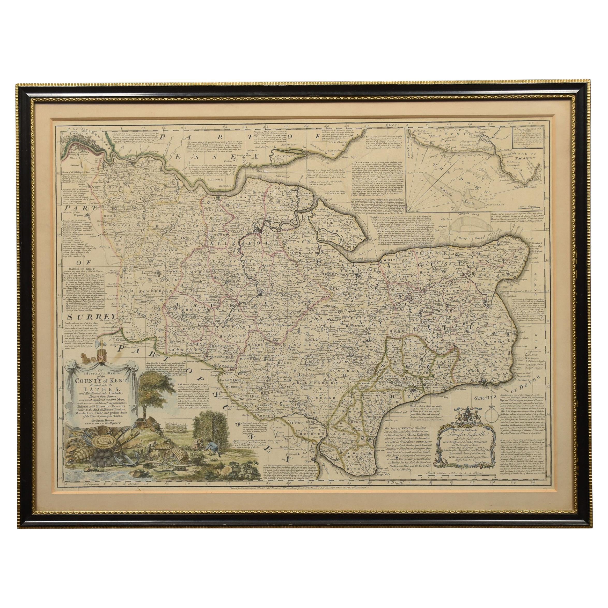
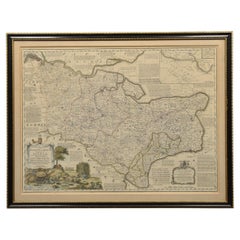
- Map of Essex by Emanuel BowenLocated in Cheshire, GBMap of part of Essex and part of Kent, hand-coloured. Encased in an ebonized and gilded frame. Dimensions Height 25.5 Inches Length 32.5 Inches width 1 Inches.Category
Antique Late 19th Century British Maps
MaterialsPaper
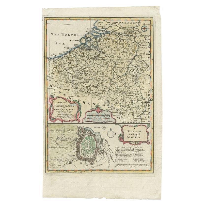
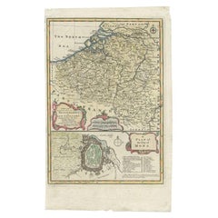
- Antique Map of the Netherlands and Belgium by Bowen, 1747By Emanuel BowenLocated in Langweer, NLAntique map Belgium titled 'A New and Accurate Map of the Netherlands or Low Countries'. Detailed map of South of the Netherlands and Belgium. With large inset of the city of Mons, B...Category
Antique 18th Century Maps
MaterialsPaper
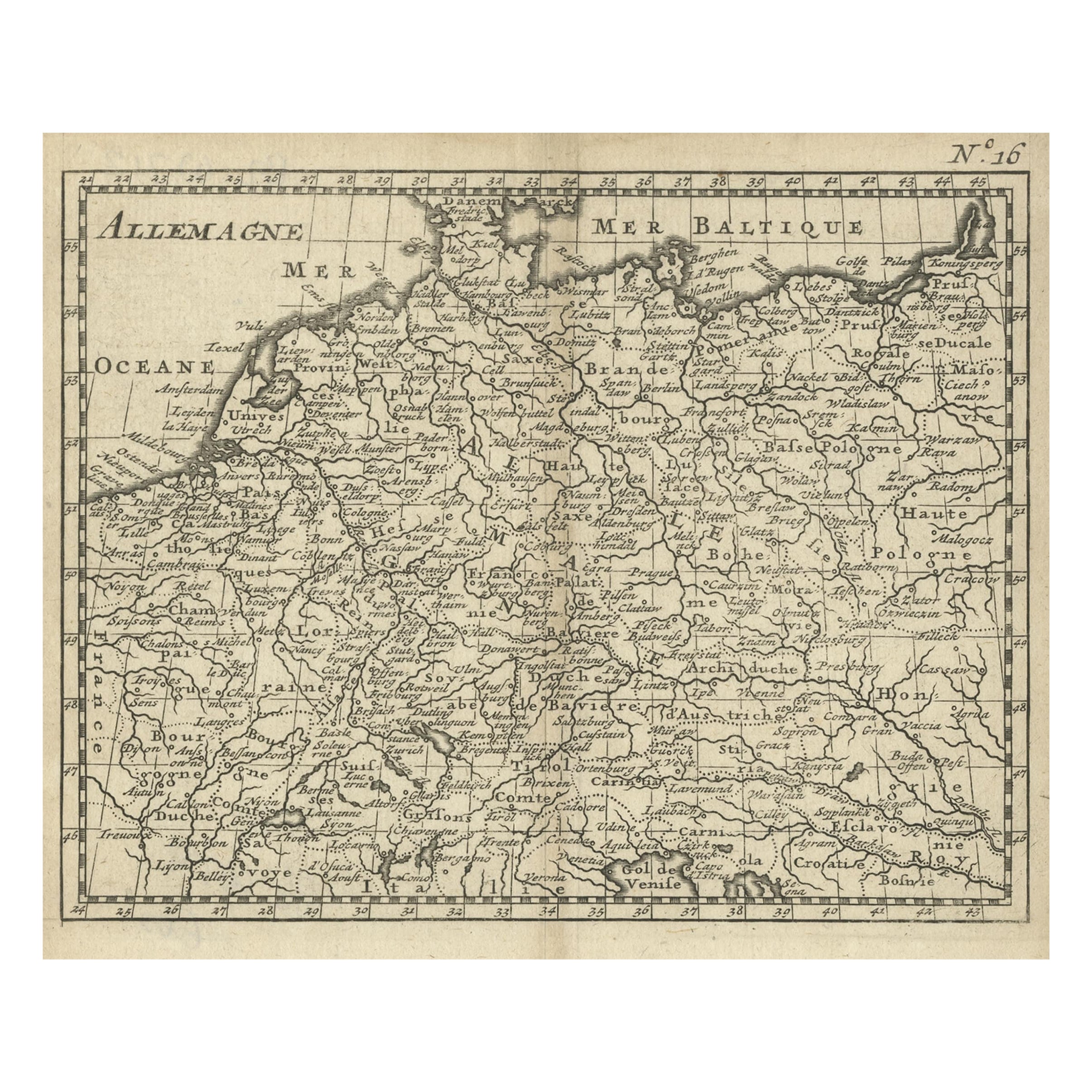
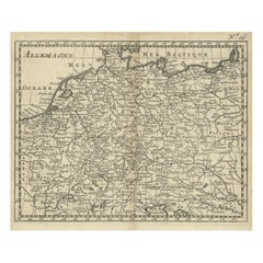
- Antique Copper Engraved Map of Germany in the Early 18th Century, c.1740Located in Langweer, NLAntique map Germany titled 'Allemagne'. Rare miniature map of Germany and surroundings. Also depicting the Baltic Sea and the Gulf of Venice. S...Category
Antique 18th Century Maps
MaterialsPaper
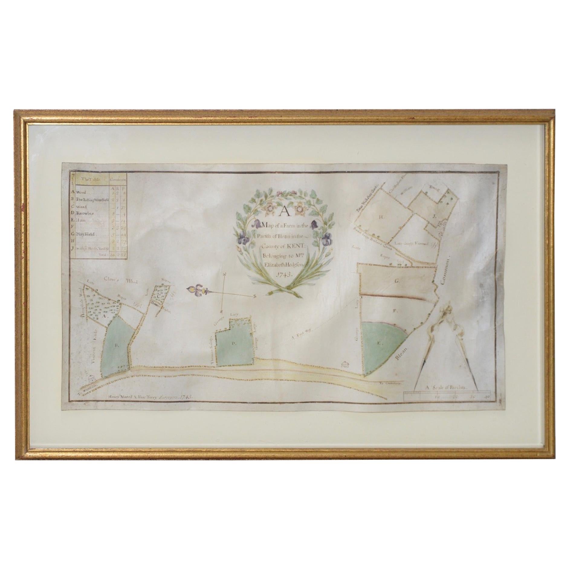
- Mid-18th Century Hand Drawn English Farm Map on Vellum, circa 1740sLocated in San Francisco, CAMid-18th century hand drawn English farm map on Vellum circa 1740s Henry Maxted & Isaac Terry, Surveyors. A Map of a Farm in the Parish of Blean in the County of KENT: Belonging to Mrs Elizabeth Hodgson circa 1743. A beautiful hand drawn map...Category
Antique Mid-18th Century English Maps
MaterialsLambskin
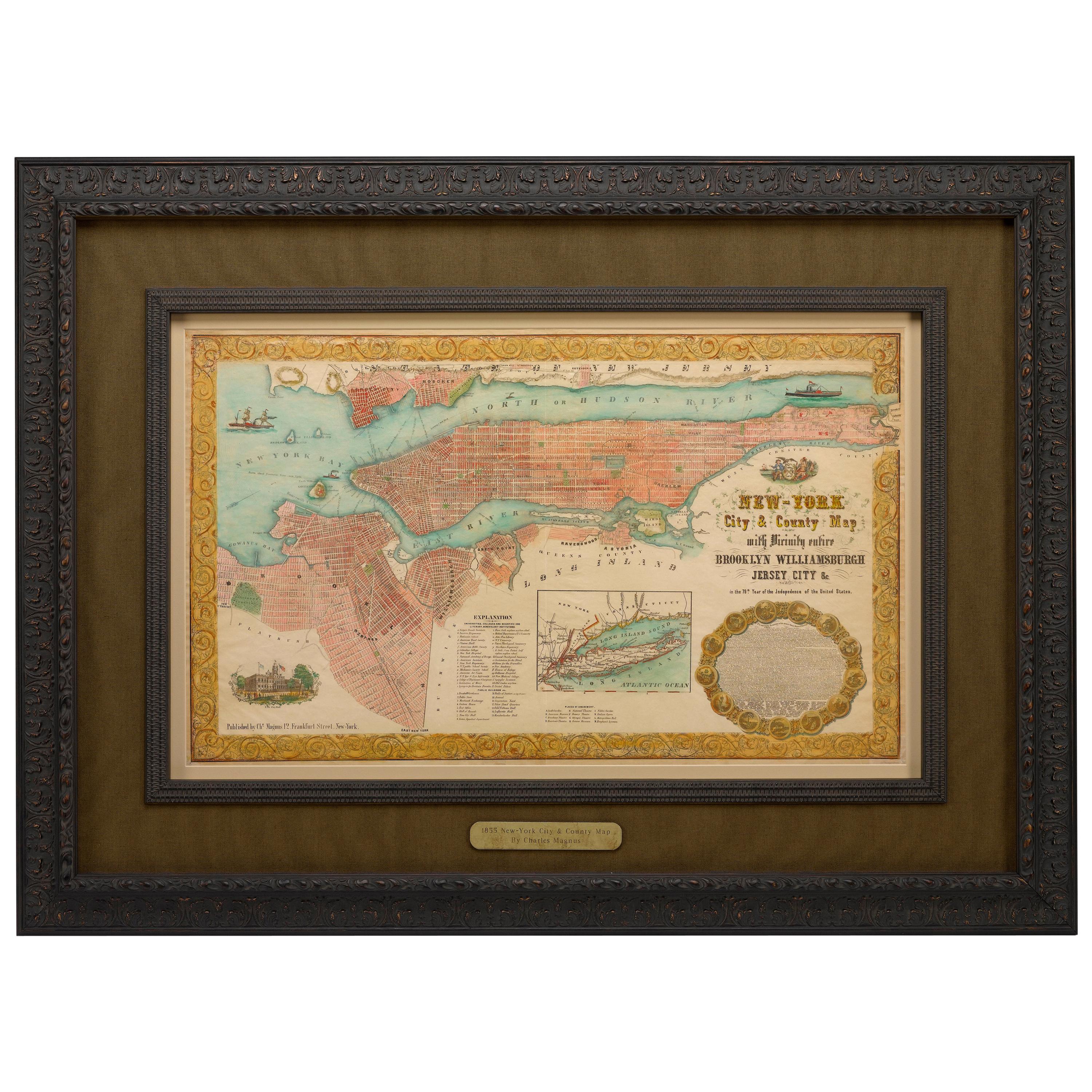
- 1855 "New-York City & County Map" by Charles MagnusBy Charles MagnusLocated in Colorado Springs, COThis is a beautiful hand-colored map titled “New York City & County Map with Vicinity entire Brooklyn, Williamsburgh, Jersey City &c.” The work was published in 1855 by Charles Magnu...Category
Antique 1850s American Maps
MaterialsPaper
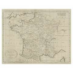
- Antique Map of France by Bowen, c.1790Located in Langweer, NLAntique map titled 'France from the best Authorities'. Original antique map of France. Engraved for Barlow's General history of Europe. Published circa 1790. Artists and Engraver...Category
Antique 18th Century Maps
MaterialsPaper


Recently Viewed
View AllMore Ways To Browse
Map York
18th Era Century
The Emanuels
Century Furniture Of Distinction Furniture
Century Furniture Of Distinction
Framed Maps
Framed Map
18th C Louis Xv
Antique Map Framing
Antique Map Framed
Antique Maps Framed
Antique Map Framers
Antique Framed Maps
Framing Antique Maps
Framed Antique Maps
Framed Antique Map
Britain Map
Map Of Britain