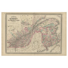
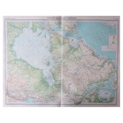
Antique Map of Quebec, Canada by Johnson, 1872
View Similar Items


Want more images or videos?
Request additional images or videos from the seller
1 of 5
Antique Map of Quebec, Canada by Johnson, 1872
About the Item
- Dimensions:Height: 18.12 in (46 cm)Width: 26.58 in (67.5 cm)Depth: 0.02 in (0.5 mm)
- Materials and Techniques:
- Period:
- Date of Manufacture:1872
- Condition:General age-related toning, shows minor wear and creasing. Some soiling. Original folding line. English text on verso. Please study images carefully.
- Seller Location:Langweer, NL
- Reference Number:Seller: BG-12592-71stDibs: LU3054321465032
About the Seller
5.0
Platinum Seller
These expertly vetted sellers are 1stDibs' most experienced sellers and are rated highest by our customers.
Established in 2009
1stDibs seller since 2017
1,946 sales on 1stDibs
More From This SellerView All
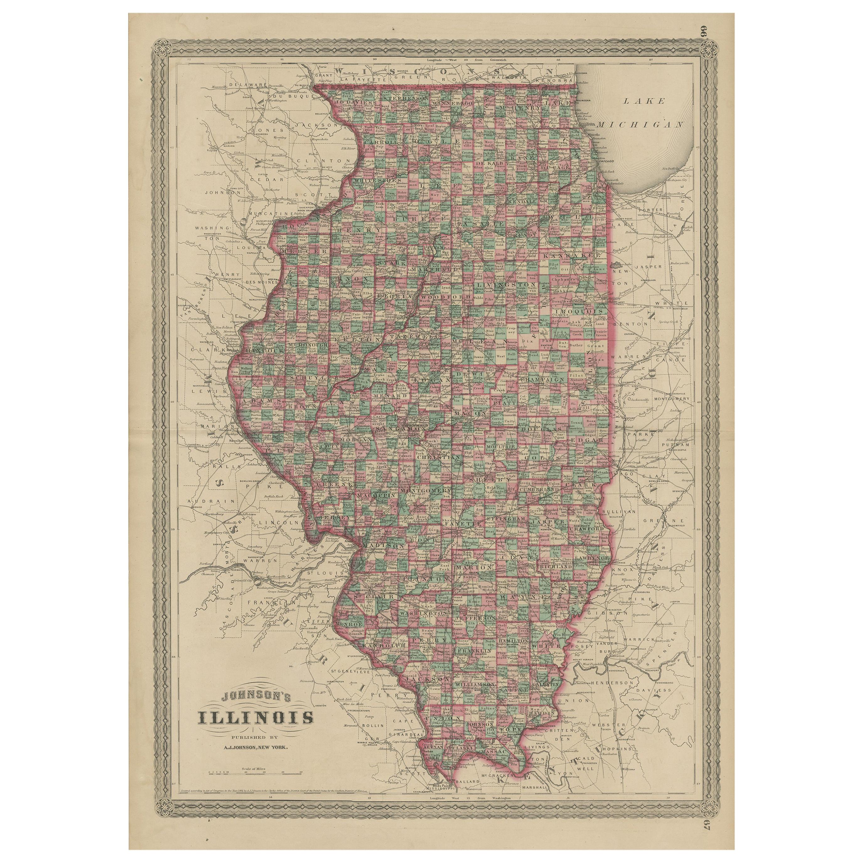
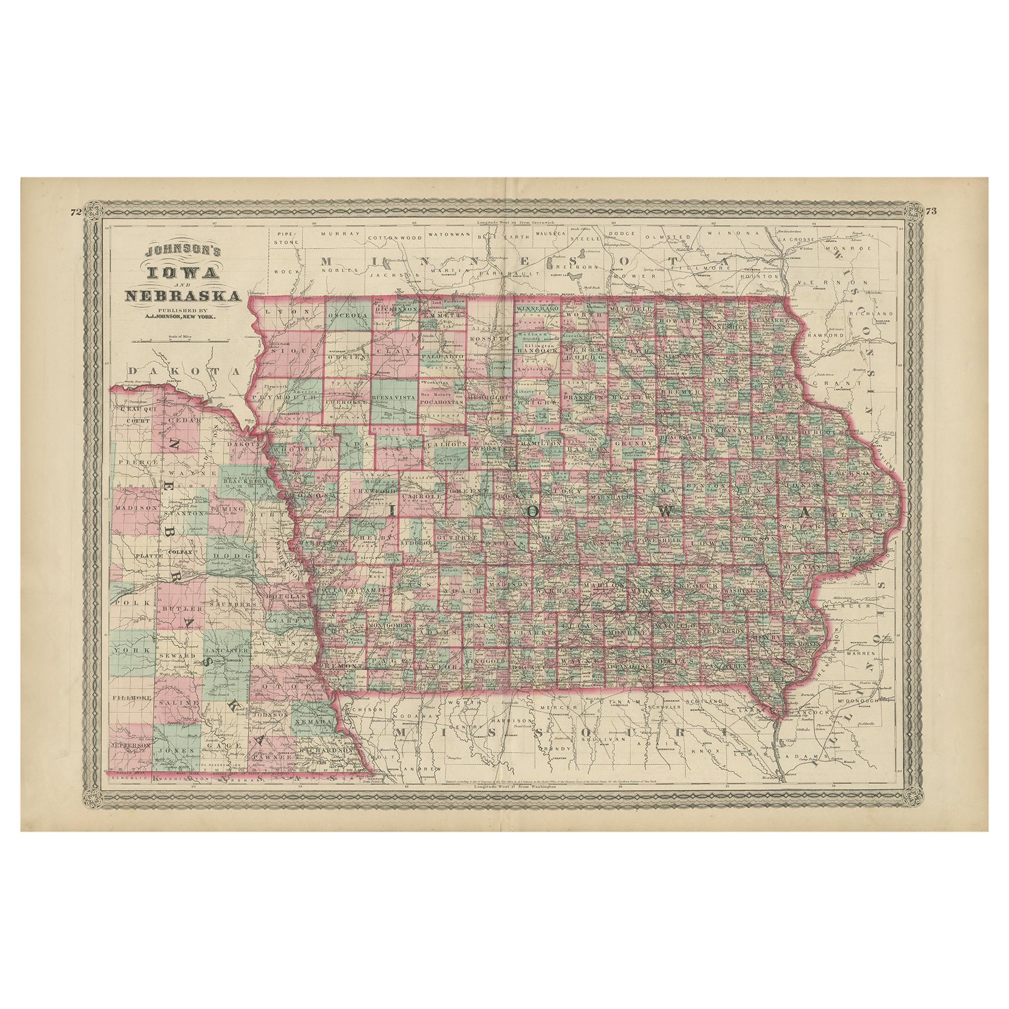
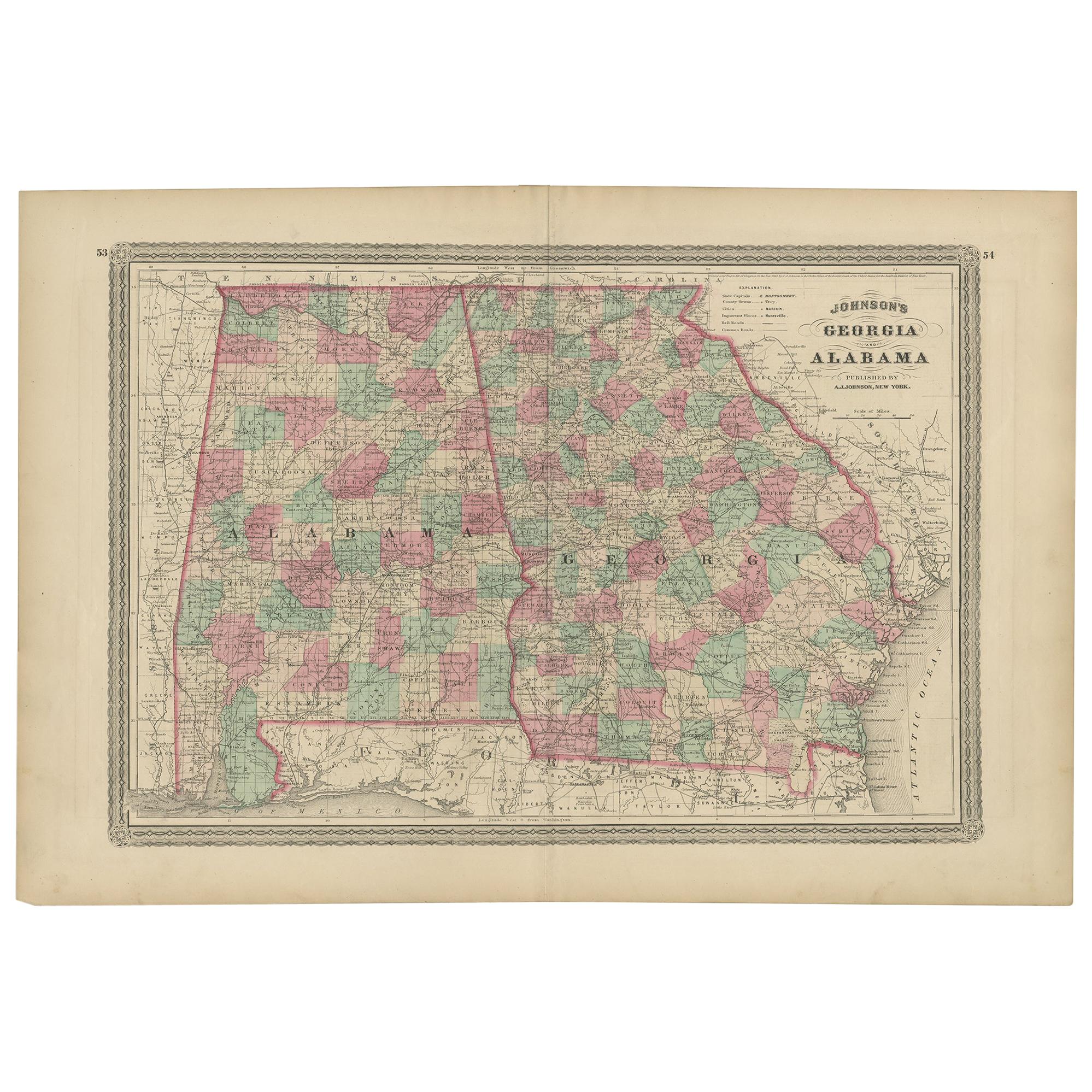
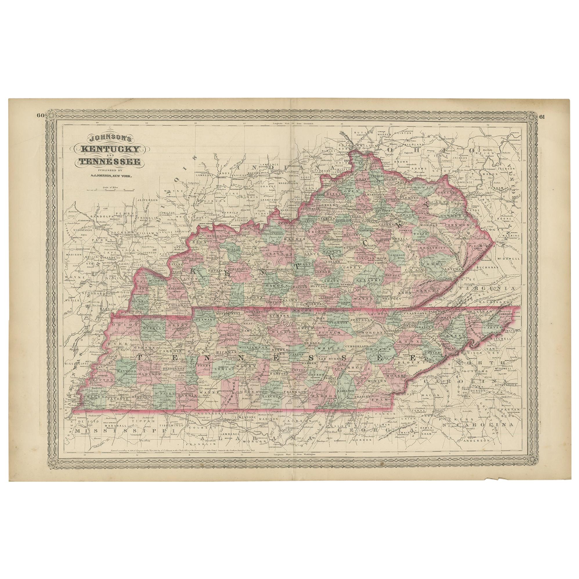
- Antique Map of Illinois by Johnson, 1872Located in Langweer, NLAntique map titled 'Johnson's Illinois'. Original map of Illinois. This map originates from 'Johnson's New Illustrated Family Atlas of the World' by A....Category
Antique Late 19th Century Maps
MaterialsPaper
- Antique Map of Asia by Johnson, 1872Located in Langweer, NLAntique map titled 'Johnson's Asia'. Original map of Asia. This map originates from 'Johnson's New Illustrated Family Atlas of the World' by A.J. Johnson. Published, 1872.Category
Antique Late 19th Century Maps
MaterialsPaper
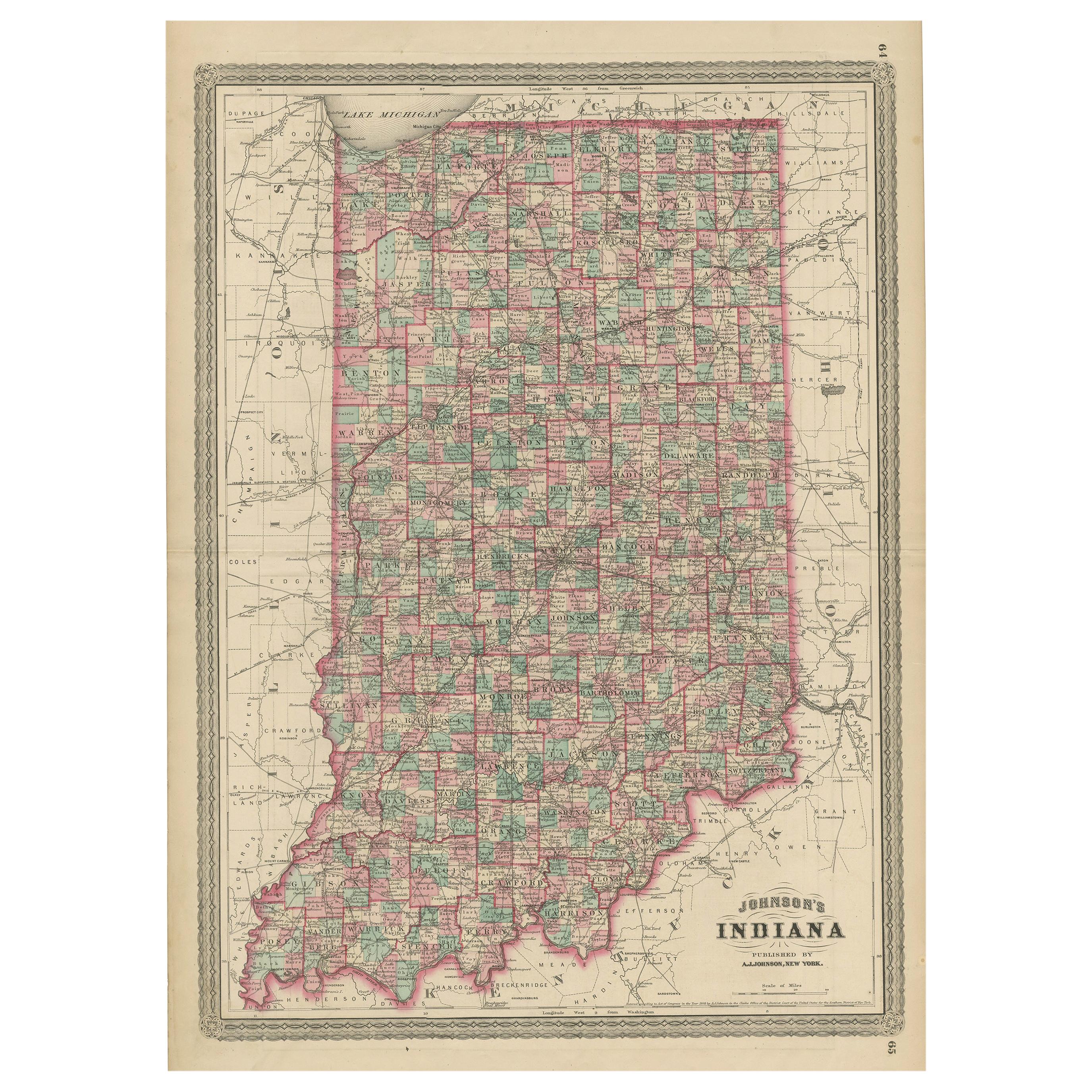
- Antique Map of Indiana by Johnson, 1872Located in Langweer, NLAntique map titled 'Johnson's Indiana'. Original map of Indiana. This map originates from 'Johnson's New Illustrated Family Atlas of the World' by A.J. ...Category
Antique Late 19th Century Maps
MaterialsPaper
 $164 Sale Price40% Off
 - Antique Map of Europe by Johnson, '1872'Located in Langweer, NLAntique map titled 'Johnson's Europe'. Original map of Europe. This map originates from 'Johnson's New Illustrated Family Atlas of the World' by A.J. Johnson. Published 1872.Category
Antique Late 19th Century Maps
MaterialsPaper
 $307 Sale Price20% Off
 - Antique Map of North America by Johnson, '1872'Located in Langweer, NLAntique map titled 'Johnson's North America'. Original map of North America, with an inset map of the Hawaiian group or Sandwich Islands. This map originates from 'Johnson's New Illu...Category
Antique Late 19th Century Maps
MaterialsPaper
 $351 Sale Price20% Off
 - Antique Map of the World by Johnson, '1872'Located in Langweer, NLAntique map titled 'Johnson's World. Original world map. This map originates from 'Johnson's New Illustrated Family Atlas of the World' by A.J. John...Category
Antique Late 19th Century Maps
MaterialsPaper
 $412 Sale Price25% Off


You May Also Like
- Original Antique Map of Canada, Arrowsmith, 1820Located in St Annes, LancashireGreat map of Canada. Drawn under the direction of Arrowsmith. Copper-plate engraving. Published by Longman, Hurst, Rees, Orme and Brown, 1820 ...Category
Antique 1820s English Maps
MaterialsPaper

- Antique Map of Italy by Andriveau-Goujon, 1843By Andriveau-GoujonLocated in New York, NYAntique Map of Italy by Andriveau-Goujon, 1843. Map of Italy in two parts by Andriveau-Goujon for the Library of Prince Carini at Palazzo Carini i...Category
Antique 1840s French Maps
MaterialsLinen, Paper
 $3,350 / set
 - Antique Map of Principality of MonacoBy Antonio Vallardi EditoreLocated in Alessandria, PiemonteST/619 - "Old Geographical Atlas of Italy - Topographic map of ex-Principality of Monaco" - ediz Vallardi - Milano - A somewhat special edition ---Category
Antique Late 19th Century Italian Other Prints
MaterialsPaper
 $228 Sale Price74% Off
 - Original Antique Map of Russia By Arrowsmith. 1820Located in St Annes, LancashireGreat map of Russia Drawn under the direction of Arrowsmith Copper-plate engraving Published by Longman, Hurst, Rees, Orme and Brown, 1820 Unframed.Category
Antique 1820s English Maps
MaterialsPaper

- Large Original Vintage Map of Quebec & Ontario, Canada, circa 1920Located in St Annes, LancashireGreat map of Quebec and Ontario. Unframed Original color By John Bartholomew and Co. Edinburgh Geographical Institute Published, circa 1920 ...Category
Vintage 1920s British Maps
MaterialsPaper
- Original Antique Map of Belgium by Tallis, Circa 1850Located in St Annes, LancashireGreat map of Belgium Steel engraving Many lovely vignettes Published by London Printing & Publishing Co. ( Formerly Tallis ), C.1850 Origin...Category
Antique 1850s English Maps
MaterialsPaper

Recently Viewed
View AllMore Ways To Browse
Canada Antiques
Canadian Antique
New World Maps
New World Map
Antique World Maps And Atlases World Maps
Illustrated Map
19th Century World Map
Antique Map New
Quebec Furniture
Canadian Paper 19th
Antique Quebec Furniture
Quebec Antique Furniture
Quebec 19th
Canada Map
Maps Canada
Map Of Canada
Antique Maps Canada
Antique Map Canada