Items Similar to American Election Map and 1960 Presidential Fact Sheet, Published 1960


Want more images or videos?
Request additional images or videos from the seller
1 of 5
American Election Map and 1960 Presidential Fact Sheet, Published 1960
About the Item
Title: “The 50 United States of America”
Subject: United States, Presidential Elections
Date: 1960 (dated)
Color: Printed Color
Size: 24.9 x 17.9 inches (63.2 x 45.5 cm)
This colorful map of the United States was drawn by Lorin Thompson and published by the General Foods Corporation. The map has an unusual coloring style with symbols of American history including past presidents, Native Americans, important buildings (White House, Statue of Liberty, Alamo), agriculture, industry, and more. Includes inset maps of Hawaii and Alaska with small American flags noting they were the final two states added to the Union. The verso shows a list of past presidents, pictures of the two candidates (Kennedy and Nixon), a 1960 election scoreboard, and a key to the 54 illustrations on the map on recto. Self-folding with cover title "Election Map and 1960 Presidential Fact Sheet...Yours Free with Any Purchase of Gravy Train."Condition:
A clean and colorful example, issued folding.
- Dimensions:Height: 17.9 in (45.47 cm)Width: 24.9 in (63.25 cm)Depth: 0.002 in (0.06 mm)
- Materials and Techniques:
- Period:
- Date of Manufacture:1960
- Condition:
- Seller Location:Langweer, NL
- Reference Number:
About the Seller
5.0
Platinum Seller
These expertly vetted sellers are 1stDibs' most experienced sellers and are rated highest by our customers.
Established in 2009
1stDibs seller since 2017
1,916 sales on 1stDibs
Typical response time: <1 hour
- ShippingRetrieving quote...Ships From: Langweer, Netherlands
- Return PolicyA return for this item may be initiated within 14 days of delivery.
More From This SellerView All
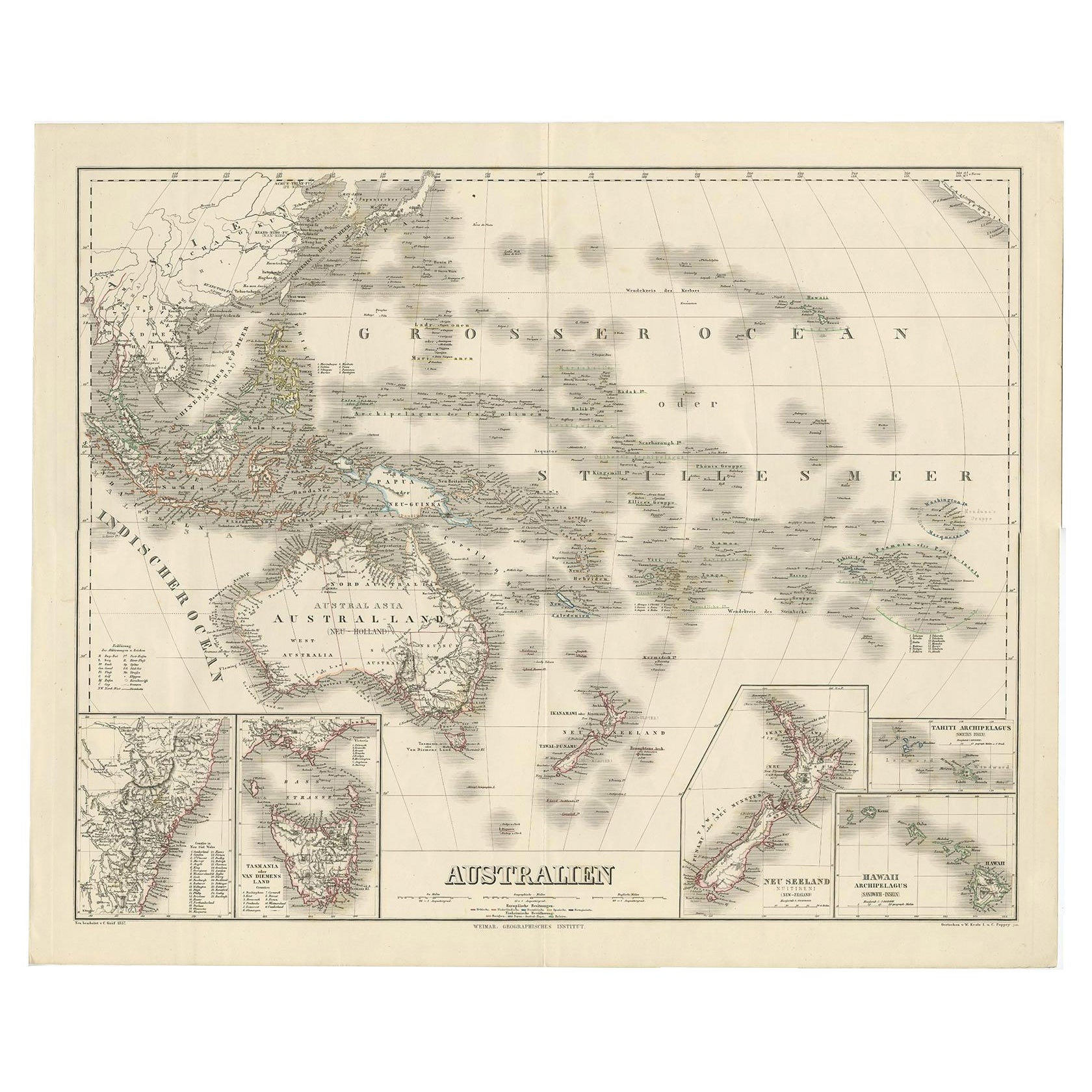
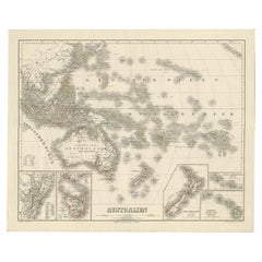
- Map of Australia, New Zealand, Part of China, Japan and Southeast Asia, 1857Located in Langweer, NLGerman Antique map titled 'Australien'. Map of Australia, New Zealand, part of China, Japan and Southeast Asia. In the upper right is a bit of the California coast by San Francisco. ...Category
Antique 19th Century Maps
MaterialsPaper
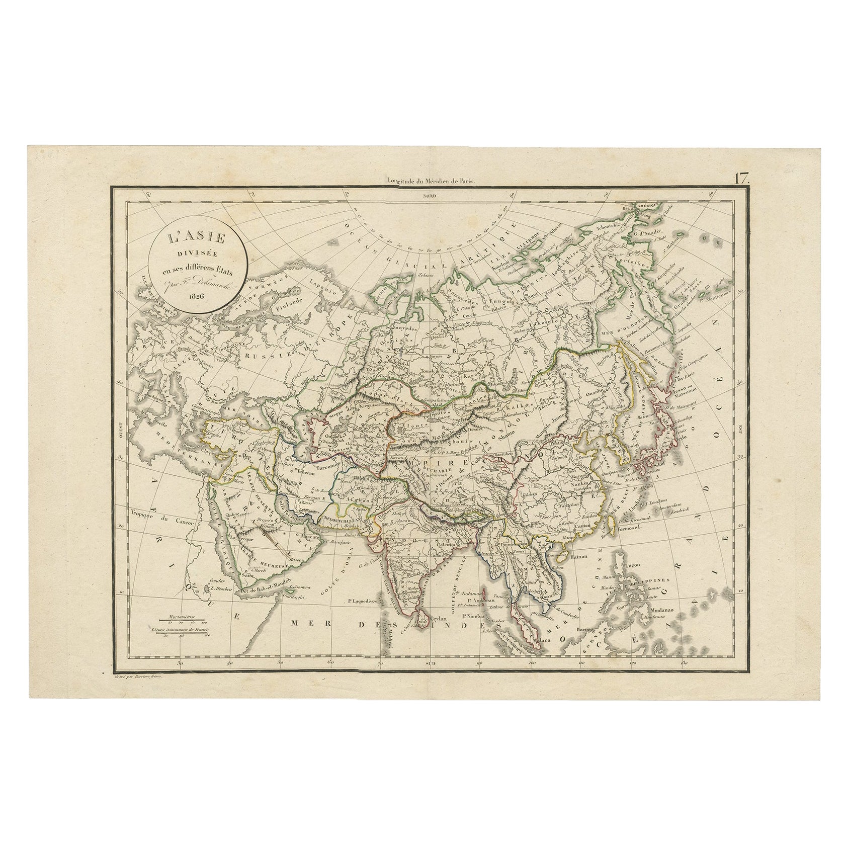
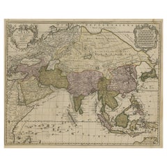
- Antique Map of Asia by Delamarche, 1826Located in Langweer, NLVaugondy's map plates and copyrights and later addes many plates from other sources as well. Charles Delamarche eventually passed control of the firm to his son Felix Delamarche (18t...Category
Antique 19th Century Maps
MaterialsPaper
- Large Detailed Map of Australia Wint Inset of Tasmania, 1937Located in Langweer, NLAntique map titled 'Australia'. Large folding map of Australia. With inset map of Tasmania. Printed by L.F. Johnston, Canberra. Artists and Engravers: Compiled and drawn by Propert...Category
20th Century Maps
MaterialsPaper
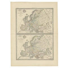
- Two Antique Maps of Europe '1789 and in 1813' on One Sheet, Published in 1842Located in Langweer, NLAntique map titled 'Carte de l'Europe'. Two maps of Europe. The upper map depicts Europe in 1789, the lower map depicts Europe in 1813. This map originates from 'Atlas universel de g...Category
Antique 19th Century Maps
MaterialsPaper
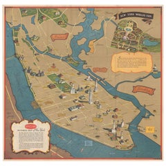
- Pictorial Vintage Map of New York City Showing Numerous Landmarks, 1939Located in Langweer, NLThis pictorial souvenir map focuses on New York City and the site of the 1939 World's Fair. It was drawn by graphic artist George Annand and published by Sinclair Oil...Category
Vintage 1930s Maps
MaterialsPaper
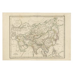
- Large Antique Map of Asia including All of Southeast Asia, c.1792Located in Langweer, NLAntique map titled 'L' Asie Divisee en ses Empires, Royaumes, et Etats'. Attractive, large map of Asia including all of Southeast Asia. The cartography is archaic for the period with...Category
Antique 18th Century Maps
MaterialsPaper

You May Also Like
- Large University Chart “Political Map of North America” by BaconLocated in Chillerton, Isle of WightLarge University Chart “Political Map of North America” by Bacon W&A K Johnston’s Charts of Physical Maps By G W Bacon, This is colourful Physical map ...Category
Early 20th Century American Empire Posters
MaterialsLinen
- Large University Chart “Political Map of North America” by BaconLocated in Chillerton, Isle of WightLarge University chart “Political Map of North America” by Bacon W&A K Johnston’s Charts of Political Maps by G W Bacon, This is colorful Physical ...Category
Early 20th Century American Empire Posters
MaterialsLinen
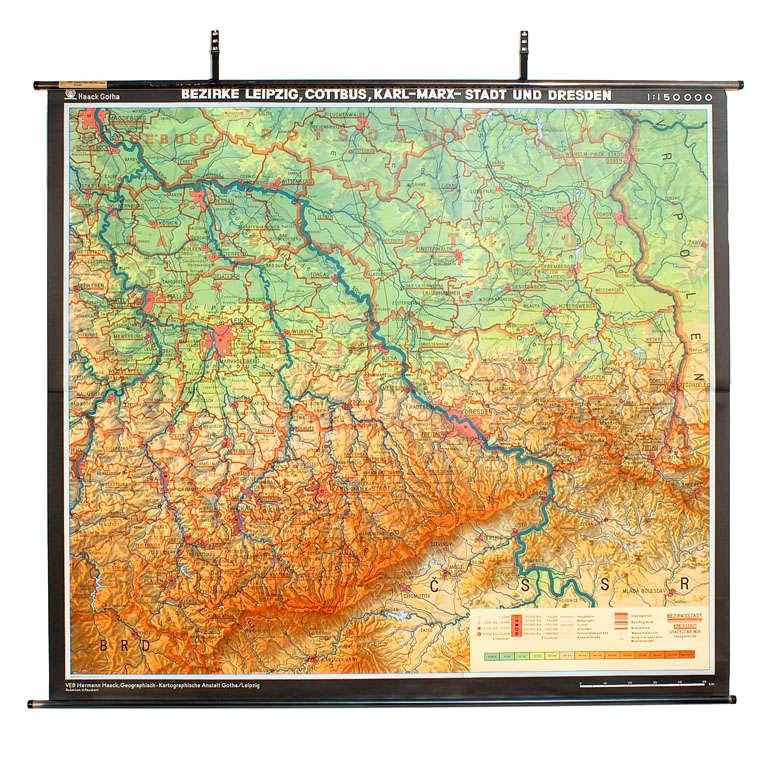
- East German MapBy VEB Hermann HaackLocated in Baltimore, MDA brilliantly colourful map of the Leipzig, Karl Marx Stadt and Dresden area in the former German Democratic Republic by VEB Hermann Haack of Gotha.Category
Vintage 1970s German Maps
- Gilt Framed Vintage Wine Regions of France MapLocated in Alton, GBFramed French wine region map 1973. The print has been removed to clean the glass, the frame has minor damage in places but nothing that detracts from ...Category
Vintage 1970s French Posters
MaterialsPaper
- Large University Chart “Physical Map of Africa” by BaconLocated in Chillerton, Isle of WightLarge university chart “Physical Map of Africa” by Bacon W&A K Johnston’s Charts of Physical Maps By G W Bacon, This is colorful Physical map of North America, it is large lithograph set...Category
Early 20th Century Folk Art Posters
MaterialsLinen
- "Grand Hotel" Original American Program CoverLocated in London, GBOriginal American Program Cover for the 1932 drama starring Greta Garbo, John Barrymore, Lionel Barrymore and Joan Crawford. The film was directed by...Category
Vintage 1930s American Posters


Recently Viewed
View AllMore Ways To Browse
Vintage Presidential
Small American Flag
Retro United States Map
50 Statue
Alaska Furniture
Alaska Vintage
Retro Maps Of The United States
Liberty House Vintage
Folded American Flag
Vintage Folded Map
Native Hawaii
Colorful Statue
Liberty House Retro
Vintage Food Cover
Vintage Food Covers
50 American Flag
Statue Of Liberty Poster
Train Map