Items Similar to 1840 Map of the City of Washington Published by William M. Morrison
Want more images or videos?
Request additional images or videos from the seller
1 of 9
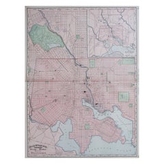
1840 Map of the City of Washington Published by William M. Morrison
$3,650
£2,746.55
€3,175.22
CA$5,153.91
A$5,588.34
CHF 2,965.67
MX$68,827.54
NOK 36,757.58
SEK 34,690.70
DKK 23,700.60
About the Item
This map, printed in 1840, is a detailed representation of Washington, D.C. in the mid-19th century. The map shows block numbers, wards, and government buildings as well as details of the city that have since changed. The map was published by William M. Morrison, drawn by F. C. De Kraft, the City Surveyor, and engraved by "Mrs. W. L. Stone.”
With the Capitol Building at the center, this map closely resembles the 1792 Plan of D.C. by Ellicott. Different from later maps, this work does not include Georgetown or Georgetown College and refers to the Anacostia River only as the “Eastern Branch.” In the middle of a massive construction push, the area was rapidly changing as the young city attempted to not only establish capitol-worthy structures, but also reconstruct what the British had destroyed in the recent War of 1812. The southwest edge of the city looks very different from today. Most notably, this 1840 map was printed before the plans for the harbor improvement plans were made, leaving the Potomac River edge coming right up near the White House. Additionally, at the time of publishing, the canals running from the mall and flowing through the city to end at the Green Leaf Terminus or the Navy Yard Terminus were still functional. It wasn’t until the 1870s when the destruction of these canals began.
Based on the design by L’Enfant and Ellicott, the plan for the city of Washington was closely adhered to once their plan was put into place. This map shows the city as it was only 40 years after the presidents first began living in the city. With the broad avenues and large public squares, the grandiosity of the young country’s capital reflected its hopes for the future.
CONDITION:
The map is wrinkled and creased with small tears throughout from use. The top left corner of the map has a small loss, but no parts of the city are missing and the map has been backed with canvas. The 1840 map has a few stains from old age and has “Washington” written at the top in pencil from a previous owner.
"Map of the City of Washington" Published by William M. Morrison, 1840. Drawn by F. C. De Kraft, City Surveyer. Engraved by "Mrs. W. L. Stone.”
There are two chips in the frame, but the frame is archival quality and includes UV protective glass. Framed Dimensions: 24.75” H x 29.5” W x 1.5” D.
- Dimensions:Height: 24.75 in (62.87 cm)Width: 29.5 in (74.93 cm)Depth: 1.5 in (3.81 cm)
- Style:Federal (In the Style Of)
- Materials and Techniques:Paper,Engraved
- Place of Origin:
- Period:
- Date of Manufacture:1840
- Condition:Additions or alterations made to the original: Framed by Art Source International Framing in Boulder, Colorado in March of 2016. Wear consistent with age and use. Minor losses. Minor structural damages. Minor fading.
- Seller Location:Colorado Springs, CO
- Reference Number:Seller: M1111stDibs: LU909739006892
About the Seller
4.9
Vetted Professional Seller
Every seller passes strict standards for authenticity and reliability
Established in 2010
1stDibs seller since 2011
464 sales on 1stDibs
- ShippingRetrieving quote...Shipping from: Colorado Springs, CO
- Return Policy
Authenticity Guarantee
In the unlikely event there’s an issue with an item’s authenticity, contact us within 1 year for a full refund. DetailsMoney-Back Guarantee
If your item is not as described, is damaged in transit, or does not arrive, contact us within 7 days for a full refund. Details24-Hour Cancellation
You have a 24-hour grace period in which to reconsider your purchase, with no questions asked.Vetted Professional Sellers
Our world-class sellers must adhere to strict standards for service and quality, maintaining the integrity of our listings.Price-Match Guarantee
If you find that a seller listed the same item for a lower price elsewhere, we’ll match it.Trusted Global Delivery
Our best-in-class carrier network provides specialized shipping options worldwide, including custom delivery.More From This Seller
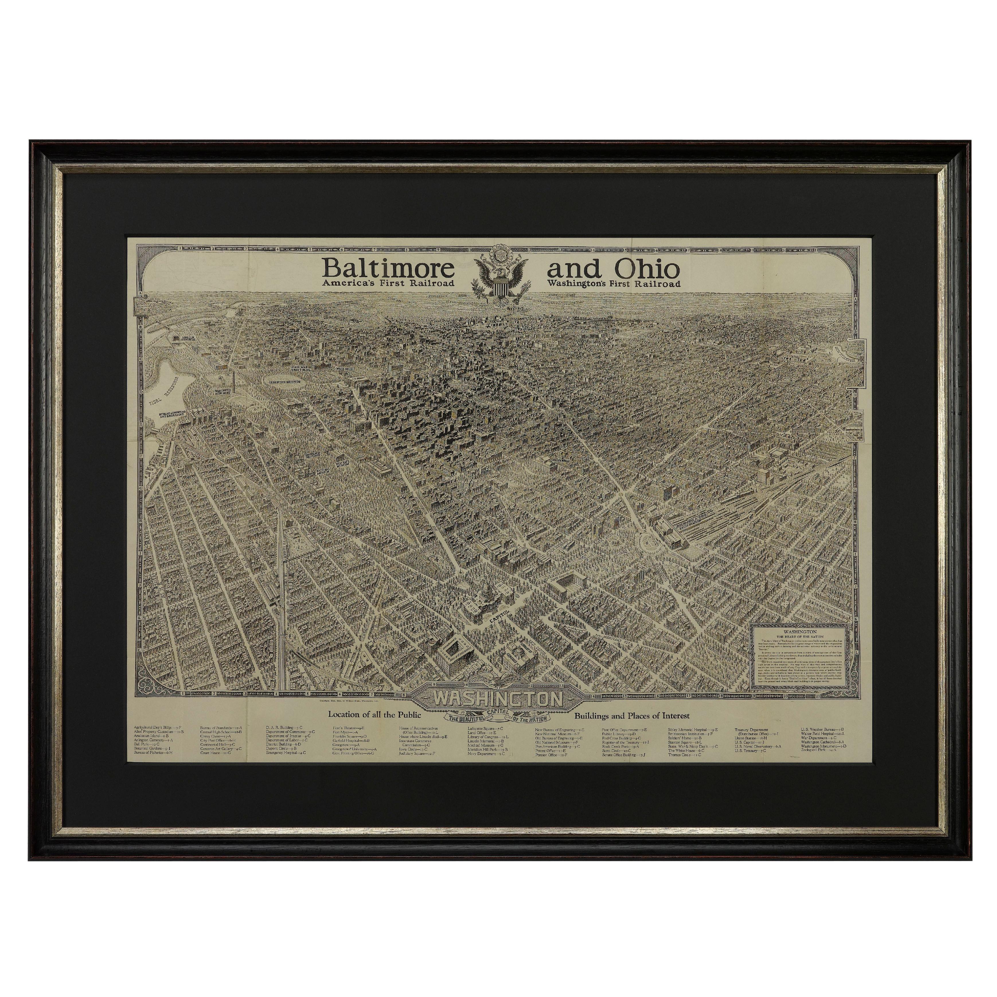
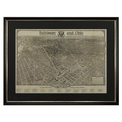
View All1923 "Washington, The Beautiful Capital of the Nation" Baltimore and Ohio RR Map
Located in Colorado Springs, CO
This is a fabulous 1923 bird's eye map of Washington, DC that shows the city in amazing detail. Every building is individually drawn and all major roads in the city are shown. The vi...
Category
Vintage 1920s American Art Deco Maps
Materials
Paper
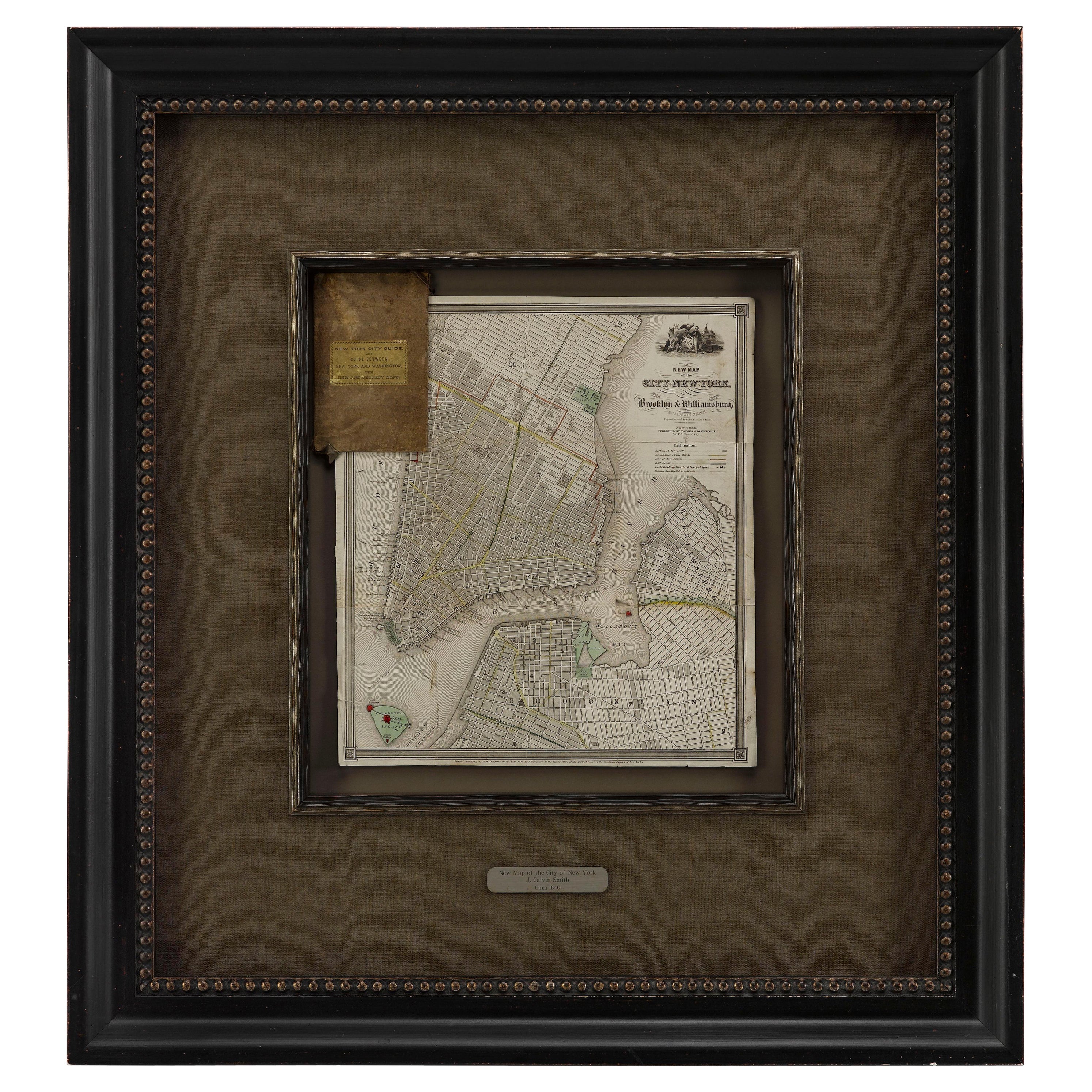
1840 "New Map of the City of New York With Part of Brooklyn & Williamsburg"
Located in Colorado Springs, CO
Presented is a hand-colored, engraved folding map titled "New Map of the City of New York With Part of Brooklyn & Williamsburg" by J. Calvin Smith. The map was issued bound in the bo...
Category
Antique 1840s American Maps
Materials
Paper

1864 Map of North America, Antique Hand-Colored Map, by Adolphe Hippolyte Dufour
Located in Colorado Springs, CO
Offered is a map of North America entitled Amerique du Nord from 1864. This rare, separately published wall map was produced by Adolphe Hippolyte Dufour. This map includes vibrant an...
Category
Antique 1860s French Maps
Materials
Paper

1856 "Map of the United States" by Ensign, Bridgeman, and Fanning
Located in Colorado Springs, CO
Presented is a scarce American wall map of the United States and Mexico issued by Ensign, Bridgman, and Fanning in 1856. As the title suggests, the map covers all of the United State...
Category
Antique 1850s American Victorian Maps
Materials
Paper

1837 Mitchell's "Tourist's Pocket Map of the State of Virginia" by J.H. Young
Located in Colorado Springs, CO
This is J. H. Young's pocket map of the Virginia, which shows county development current to 1835. The map was engraved by E. Yeager and F. Dankworth and published by S. A. Mitchell. ...
Category
Antique 1830s American Maps
Materials
Paper

1812 United States Map, by Pierre Tardieu, Antique French Map Depicting the U.S.
By Pierre François Tardieu
Located in Colorado Springs, CO
1812 "United States of Nth America -- Carte des Etats-Unis De L'Amerique Septentrionale" Two-Sheet Map by Tardieu
This attractive map, published in Paris in 1812, is one of the most rare large format maps from the period. It features a view of the East Coast of the U.S. from Maryland to just below South Carolina. Additionally, Ellicott’s plan for the City of Washington D.C. is included at the top right and an illustration of Niagara Falls is shown at the bottom right with a description in both French and English. This extremely detailed map not only depicts the mountainous regions of the southeastern U.S., but also includes names of regions, rivers, and towns.
Based on the first state of Arrowsmith’s 4-sheet map of the United States, this map is completely engraved by Tardieu in Paris and showcases high quality engravings. This detailed map of the recently independent United States includes one of the largest and earliest examples of the Ellicott plan of Washington DC.
The artist, Pierre François Tardieu (PF Tardieu) was a very well-known map engraver, geographer, and illustrator. Awarded a bronze medal by King Louis-Phillipe for the accuracy and beauty of his map-making, Tardieu produced many fine works including maps of Louisiana...
Category
Antique 1810s French Maps
Materials
Paper

You May Also Like
Antique Map of Washington County 'Ohio' by Titus, 1871
Located in Langweer, NL
Antique map titled 'Washington'. Original antique map of Washington, Ohio. This map originates from 'Atlas of Preble County Ohio' by C.O. Titus. Published, 1871.
Category
Antique Late 19th Century Maps
Materials
Paper
$225 Sale Price
24% Off
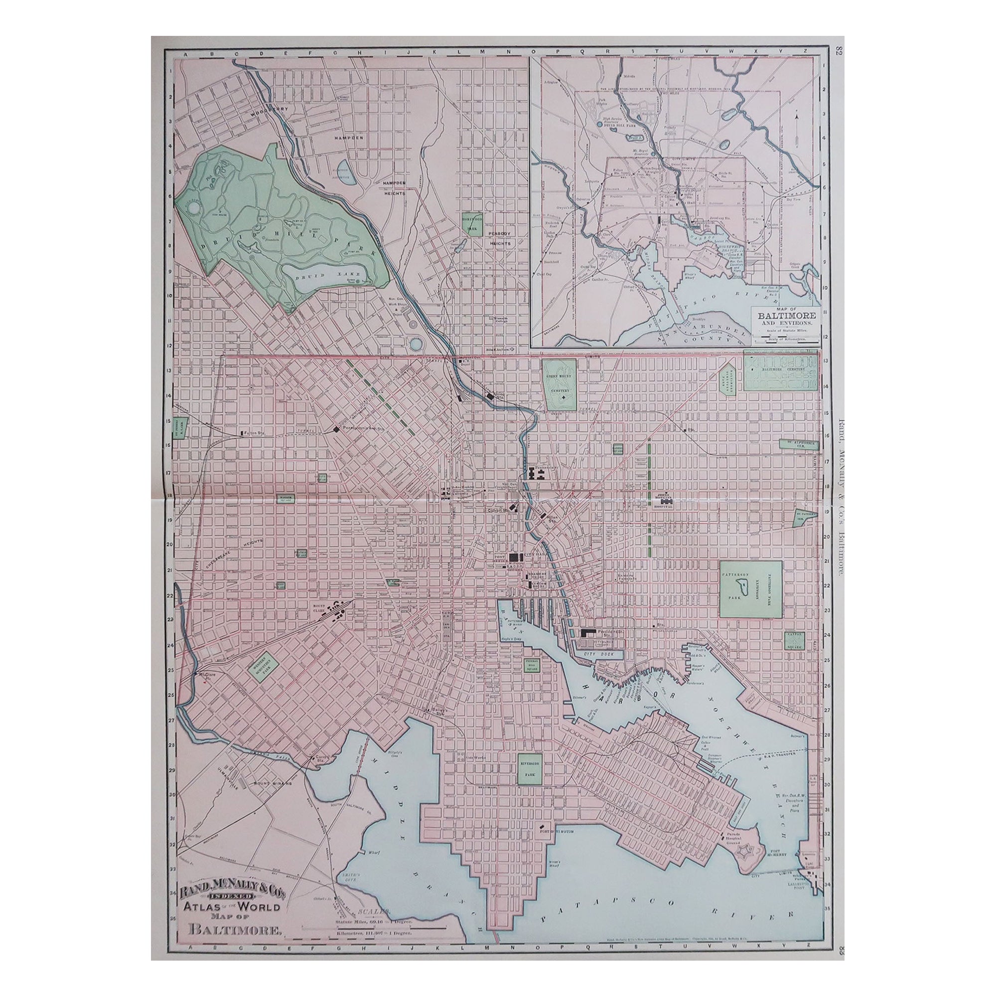
Large Original Antique City Plan of Baltimore, USA, 1894
By Rand McNally & Co.
Located in St Annes, Lancashire
Fabulous colorful map of Baltimore
Original color
By Rand, McNally & Co.
Published, 1894
Unframed
Free shipping.
Category
Antique 1890s American Maps
Materials
Paper
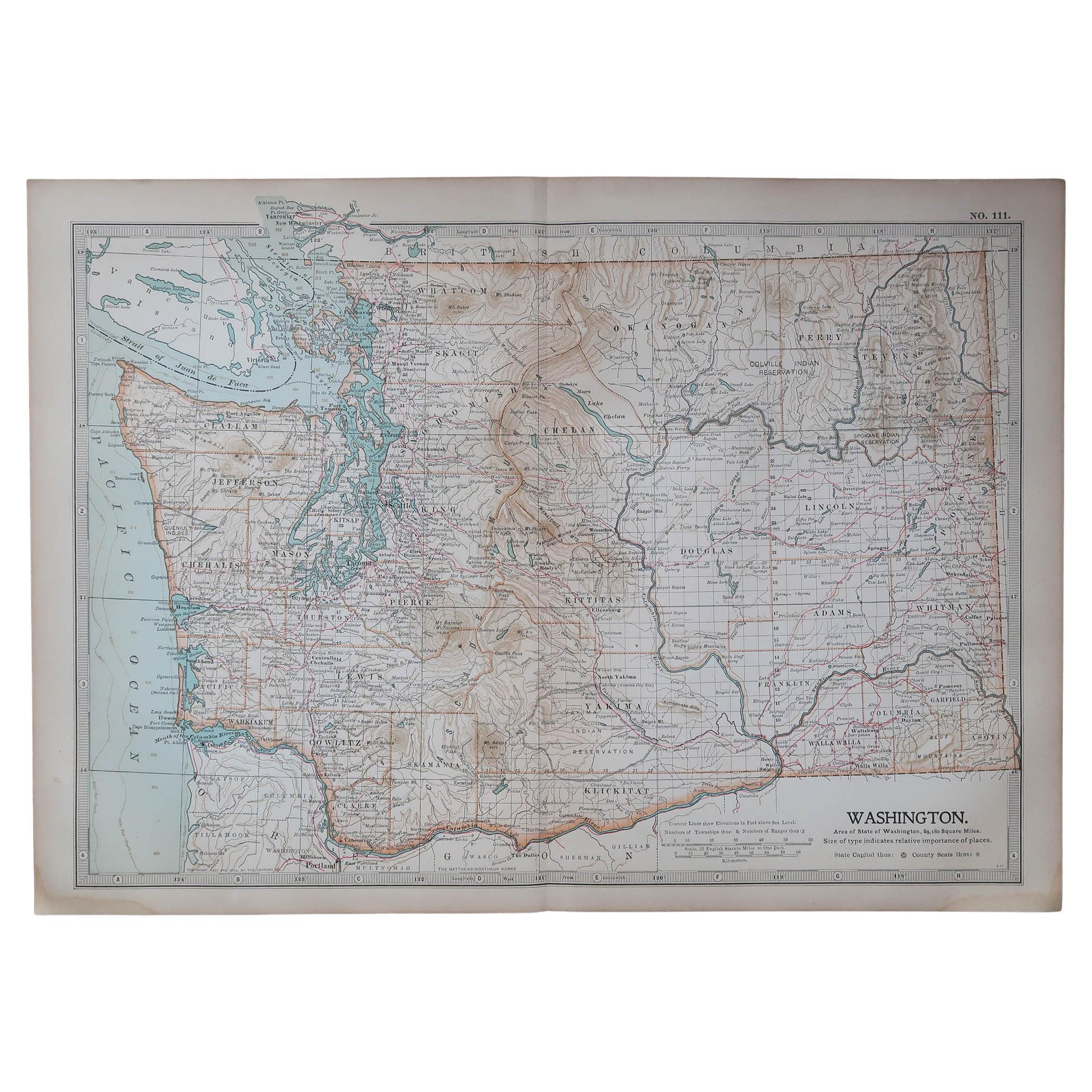
Original Antique Map of the American State of Washington, 1903
Located in St Annes, Lancashire
Antique map of Washington
Published By A & C Black. 1903
Original colour
Good condition
Unframed.
Free shipping
Category
Antique Early 1900s English Maps
Materials
Paper

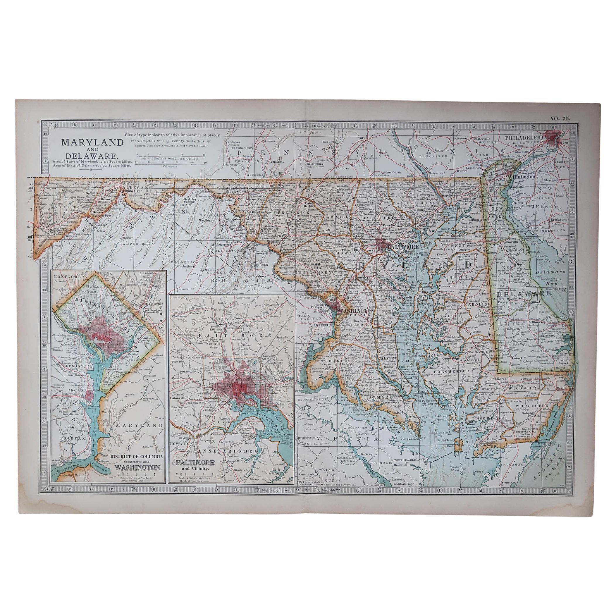
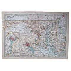
Original Antique Map of the American State of Maryland & Delaware, 1903
Located in St Annes, Lancashire
Antique map of Maryland And Delaware
Published By A & C Black. 1903
Original colour
Good condition
Unframed.
Free shipping
Category
Antique Early 1900s English Maps
Materials
Paper
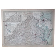
Original Antique Map of the American State of Virginia, 1903
Located in St Annes, Lancashire
Antique map of Virginia
Published By A & C Black. 1903
Original colour
Good condition
Unframed.
Free shipping
Category
Antique Early 1900s English Maps
Materials
Paper
Original Antique Map of United States, Grattan and Gilbert, 1843
Located in St Annes, Lancashire
Great map of United States
Drawn and engraved by Archer
Published by Grattan and Gilbert. 1843
Original colour
Unframed.
Category
Antique 1840s English Maps
Materials
Paper

More Ways To Browse
Antique Surveyor
Mid Century Modern Danish Teak Dining Tables
Long Rug Runners
Pair Arm Chairs
Sterling Silver Dinner Sets
United Chair Company
Italian Beech Chairs
Shirvan Rugs
Spain Marble
Vintage Danish Tables And Chairs
1960s Glass Top Coffee Table
Black Glass Coffee Tables
Burnt Wood
Mid Century Wrought Iron Chairs
Earth Toned Rug
Black Marble Table Vintage
Goblets
Mid Century Modern Yellow Chair