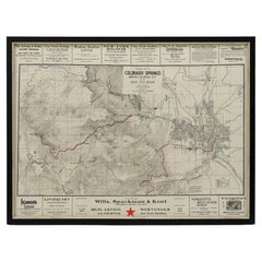
1906 "Tourists Guide to Colorado Springs, Manitou, Colorado City..." Map
View Similar Items
Want more images or videos?
Request additional images or videos from the seller
1 of 8
1906 "Tourists Guide to Colorado Springs, Manitou, Colorado City..." Map
About the Item
- Dimensions:Height: 22.25 in (56.52 cm)Width: 29.5 in (74.93 cm)Depth: 1 in (2.54 cm)
- Materials and Techniques:
- Place of Origin:
- Period:1900-1909
- Date of Manufacture:1906
- Condition:Additions or alterations made to the original: New archival framing by Rio Grande Framing in Colorado Springs, Colorado in June of 2022. Wear consistent with age and use. Minor fading.
- Seller Location:Colorado Springs, CO
- Reference Number:Seller: M3201stDibs: LU909730048912
About the Seller
4.9
Platinum Seller
These expertly vetted sellers are 1stDibs' most experienced sellers and are rated highest by our customers.
Established in 2010
1stDibs seller since 2011
400 sales on 1stDibs
More From This SellerView All
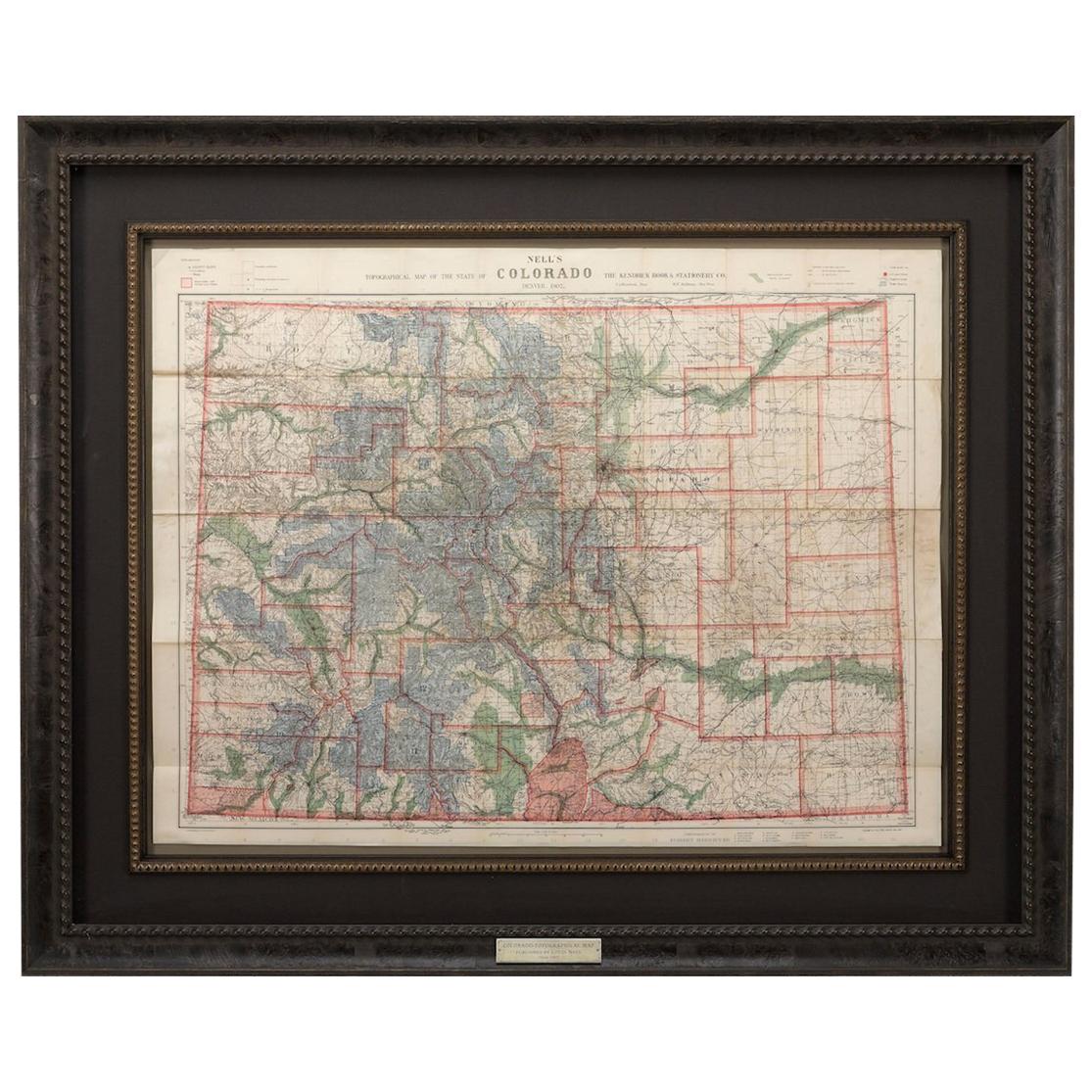
- 1907 Map of Colorado, Antique Topographical Map, by Louis NellLocated in Colorado Springs, COThis highly detailed pocket map is a topographical map of the state of Colorado by Louis Nell from 1907. The map "has been complied from all availabl...Category
Antique Early 1900s American Maps
MaterialsPaper
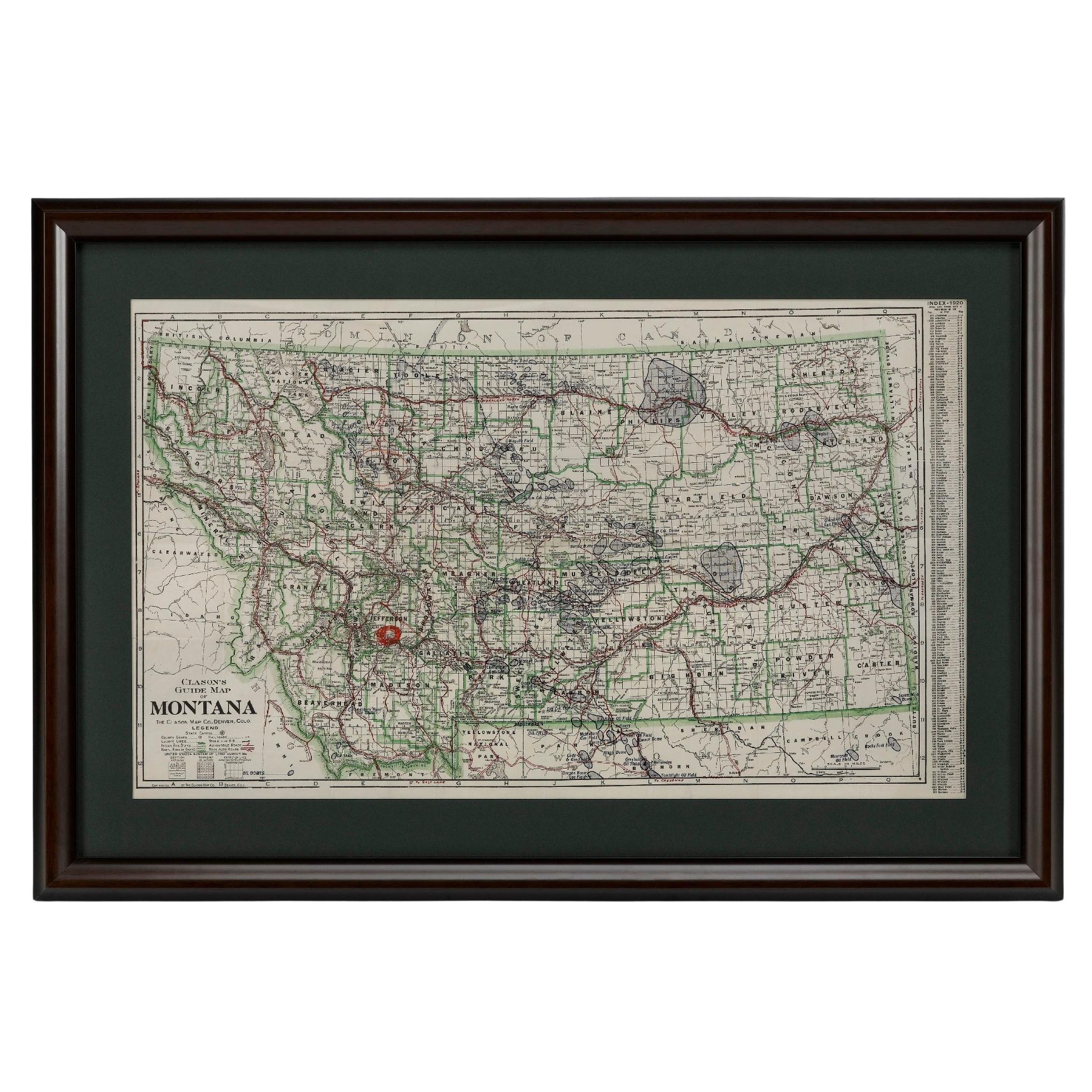
- "Clason's Guide Map of Montana" by The Clason Map Company, Circa 1920sLocated in Colorado Springs, COPresented is “Clason's Guide Map of Montana,” published in the early 1920s by the Clason Map Company. Issued as a folding map, this map identifies county boundaries, county seats, Na...Category
Vintage 1920s American Art Deco Maps
MaterialsPaper
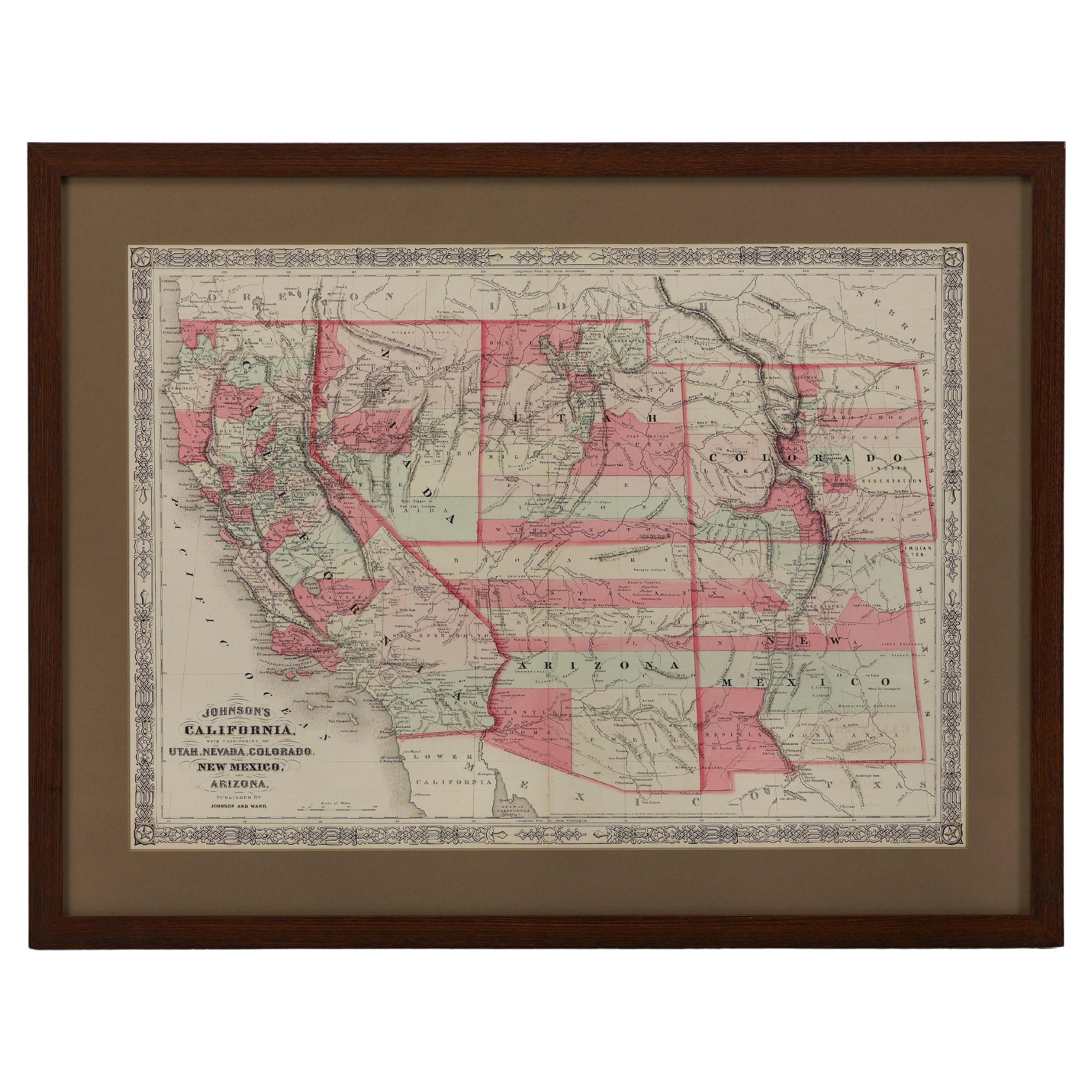
- 1865 "Johnson's California, Utah, Nevada, Colorado, New Mexico, Arizona" MapLocated in Colorado Springs, COPresented is an original 1865 "Johnson's California, with Territories of Utah, Nevada, Colorado, New Mexico, and Arizona” map. First published in 1864, thi...Category
Antique Mid-19th Century Maps
MaterialsPaper
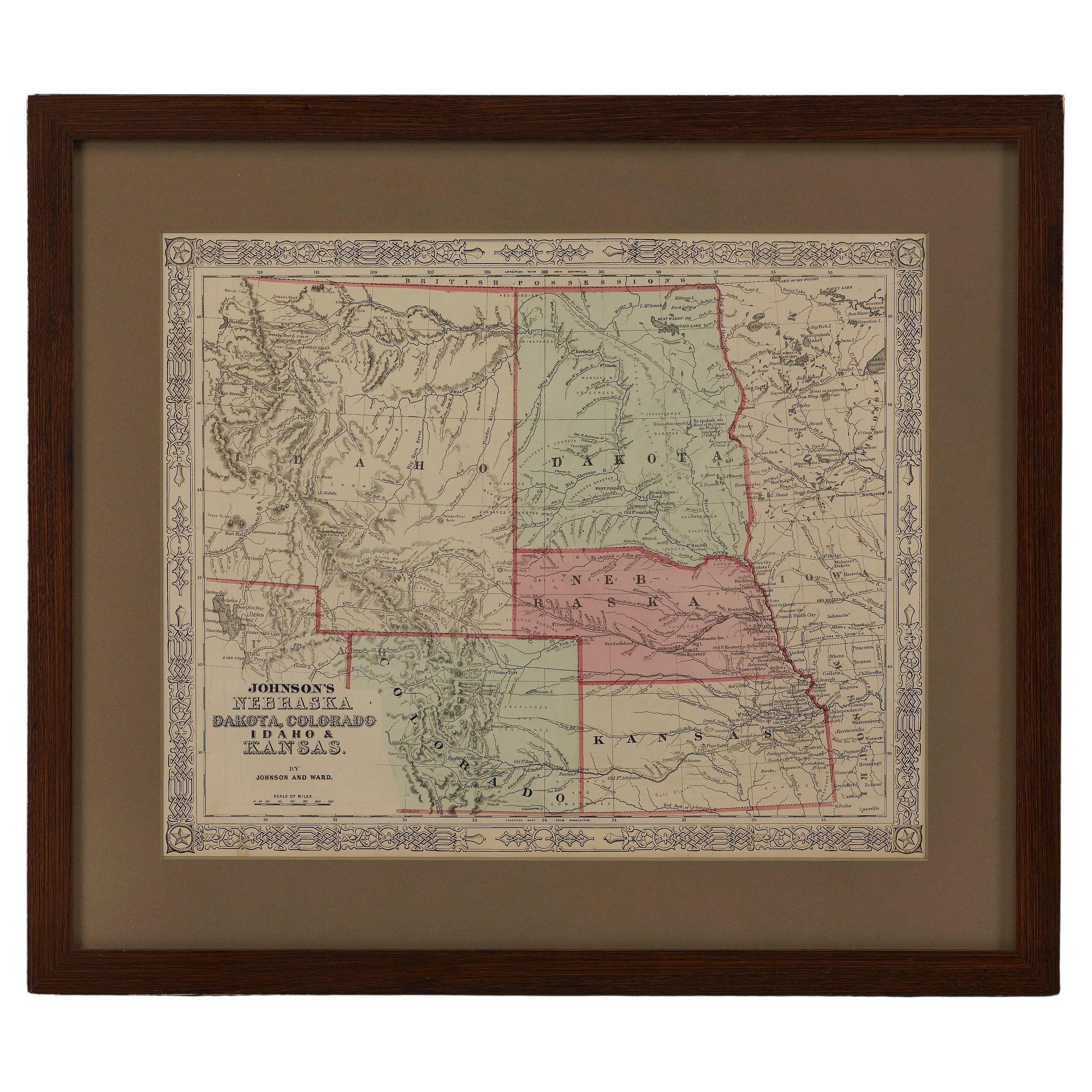
- 1865 "Johnson's Nebraska, Dakota, Colorado, Idaho & Kansas" Map, Johnson & WardLocated in Colorado Springs, COPresented is an original 1865 "Johnson's Nebraska, Dakota, Colorado, Idaho & Kansas” map. This map was issued as page 63 in the 1865 edition of “Johnson's N...Category
Antique Mid-19th Century Maps
MaterialsPaper
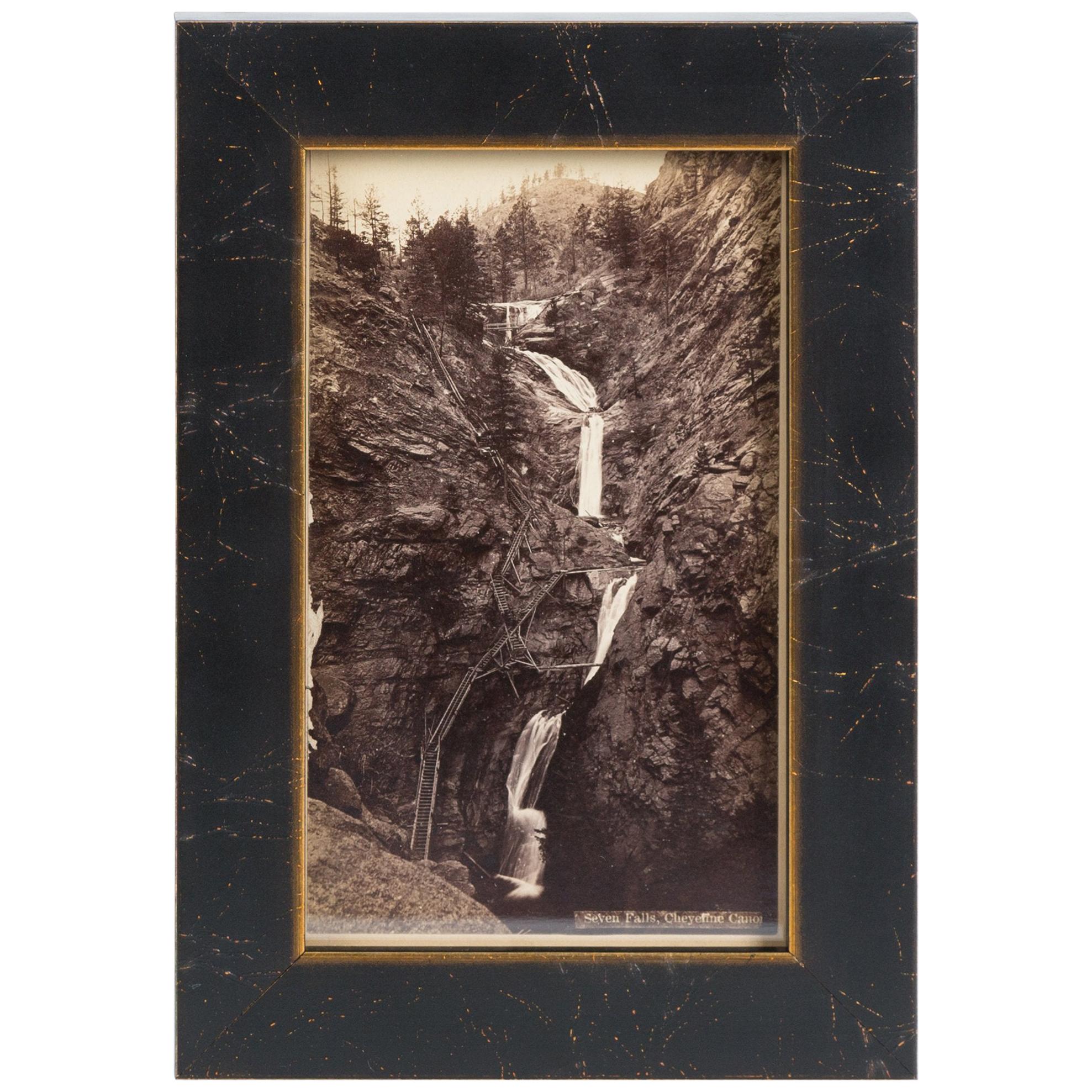
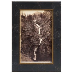
- Seven Falls Colorado Springs Antique Photographic Postcard, circa 1880Located in Colorado Springs, COPresented is an antique photographic postcard of Seven Falls, Colorado, from 1880. Postcard production blossomed in the late 1800s and early 1900s, as railroads opened up much of the Western frontier to new and exciting travel opportunities. Seven Falls is one of Colorado’s most captivating natural wonders. Located at the base of the Front Range, this magnificent series of waterfalls is situated in a 1,250-foot-wall box canyon between the towering Pillars of Hercules and boasts a 181-foot drop of falling water. Seven Falls was originally part of land given to Nathan Colby in 1872 as part of the Homestead Act of 1862. The Homestead Act granted 160 acres of surveyed land to pioneers in the west, with claimants required to “improve” the plot by building a dwelling and cultivating the land. Mr. Colby promptly sold the track of land to James Hull...Category
Antique 1880s American Historical Memorabilia
MaterialsPaper
- 1837 Mitchell's "Tourist's Pocket Map of the State of Virginia" by J.H. YoungLocated in Colorado Springs, COThis is J. H. Young's pocket map of the Virginia, which shows county development current to 1835. The map was engraved by E. Yeager and F. Dankworth and published by S. A. Mitchell. ...Category
Antique 1830s American Maps
MaterialsPaper


You May Also Like
- Antique Paterson's Guide to Britain, English, Maps, Georgian, Published 1811Located in Hele, Devon, GBThis is an antique copy of Paterson's New and Accurate guide to Direct & Principal Crossroads. An English, bound book of maps and descriptive tables, published in English by Longman,...Category
Antique Early 19th Century British Georgian Books
MaterialsPaper
- Nelson's Guide to the City of New York and its Neighbourhood, 1858Located in Langweer, NL"Nelson's Guide to the City of New York and its Neighbourhood," published in 1858 by T. Nelson in London and New York, serves as an invaluable resource for exploring the historical a...Category
Antique 1850s Books
MaterialsPaper
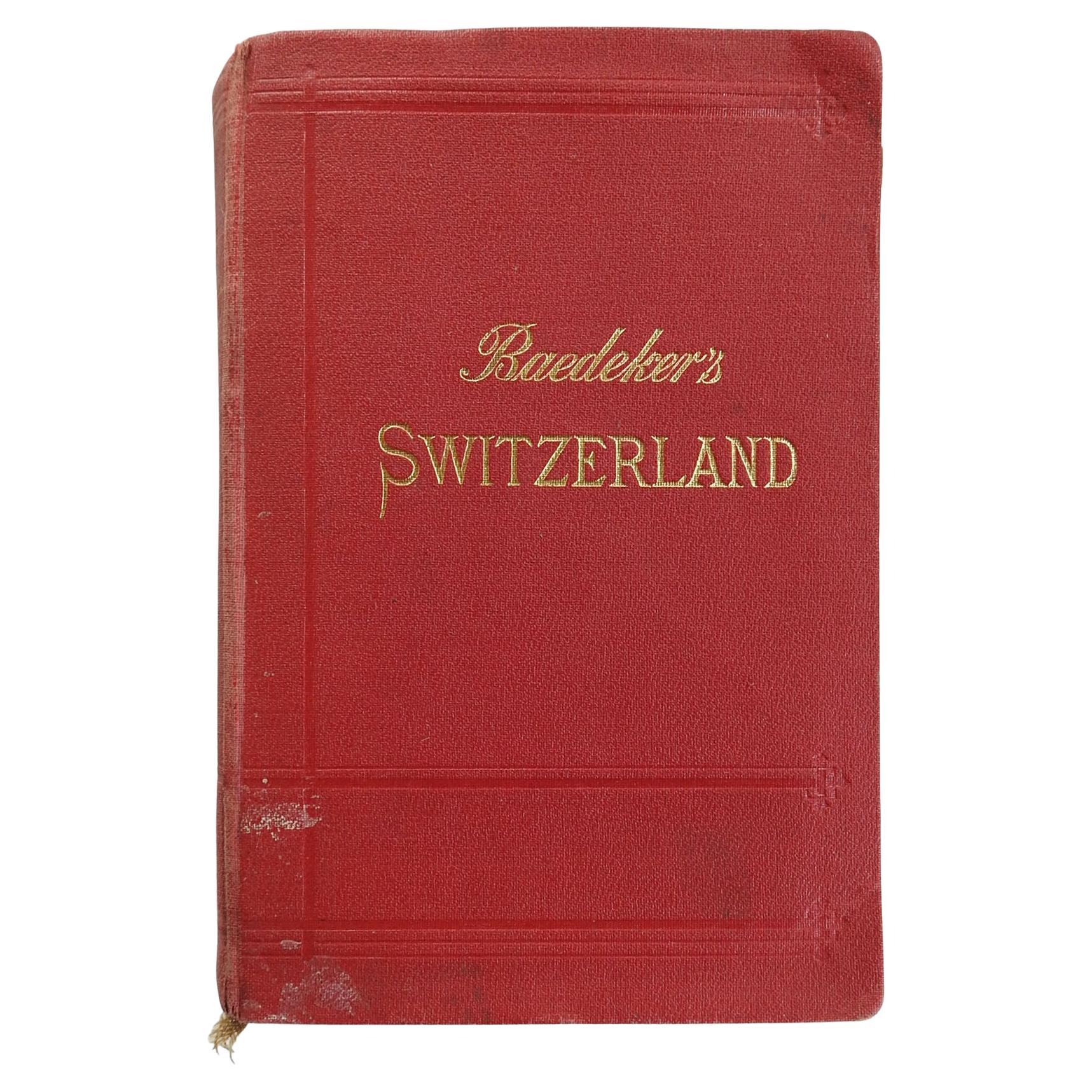
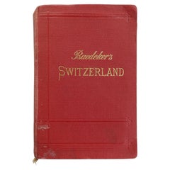
- 1911 Baedekers Guide to SwitzerlandLocated in Seguin, TXBaedeker's Switzerland. Handbook for travelers by Karl Baedeker. Published by Baedeker, Leipzig, 1911. Since the 1830's Baedeker set the standard for authoritative pocket guidebooks ...Category
Antique Late 19th Century German Grand Tour Books
MaterialsPaper
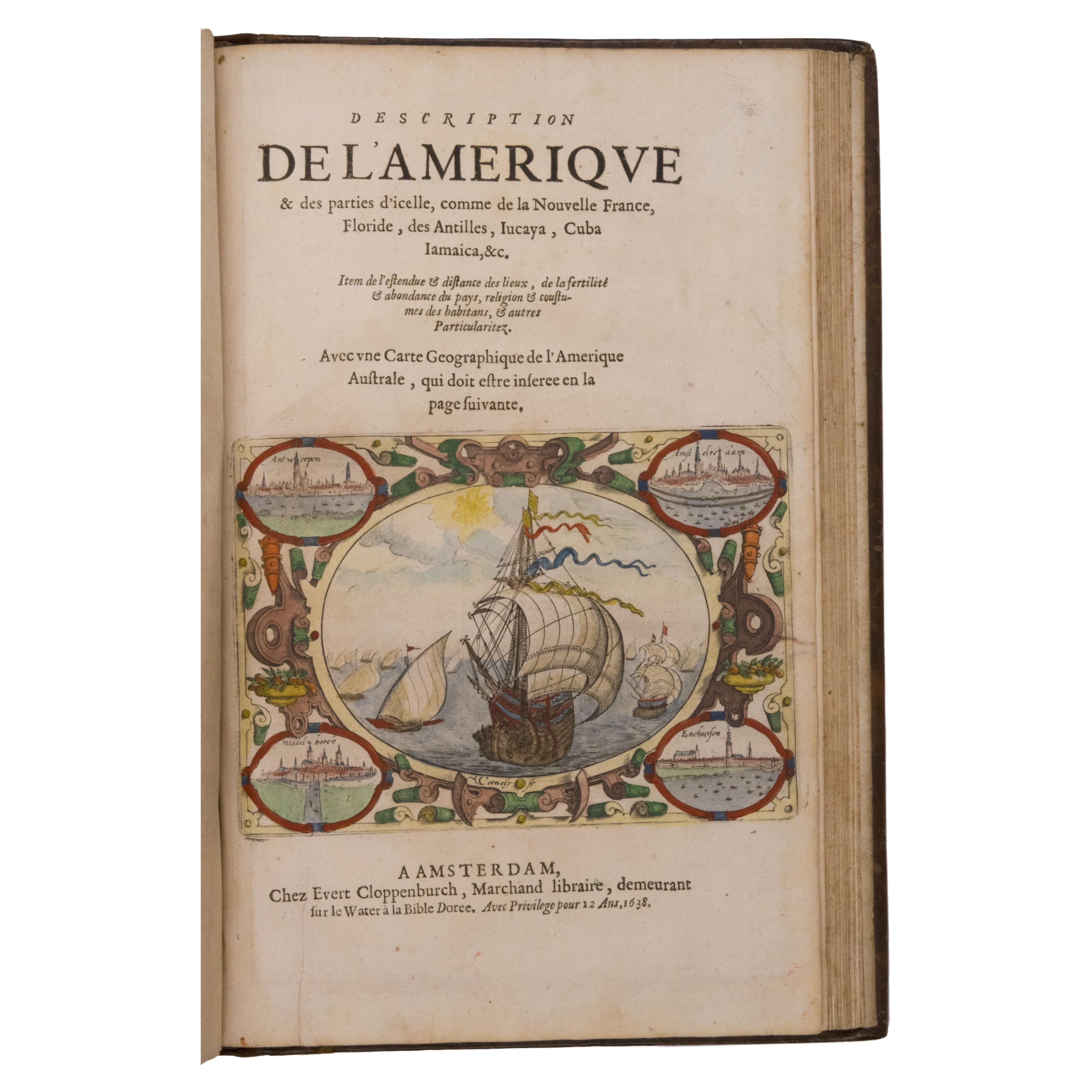
- Seminal guide to the East and West Indies, with 42 coloured maps and platesBy Jan Huygen van LinschotenLocated in ZWIJNDRECHT, NLSeminal guide to the East and West Indies, with 42 double-page and folding plates, including 6 maps, all engravings beautifully coloured by a contemporary hand LINSCHOTEN, Jan Huygh...Category
Antique Early 17th Century Dutch Dutch Colonial Books
MaterialsPaper

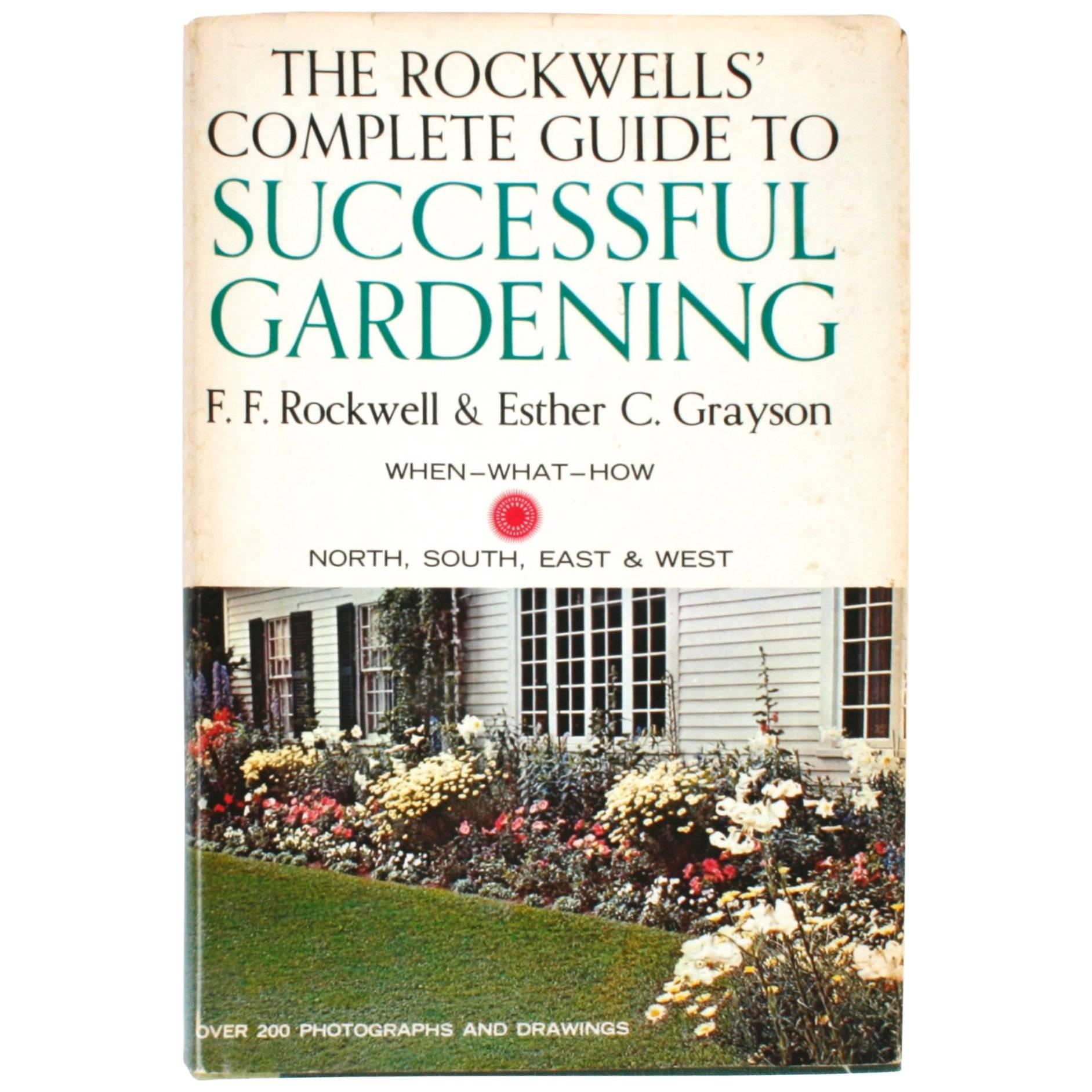
- Rockwell's Complete Guide to Successful GardeningBy Frederick F. Rockwell, Esther C. GraysonLocated in valatie, NYThe Rockwell's Complete Guide to Successful Gardening. Garden City: Doubleday & Company, Inc., 1965. First edition second printing hardcover with dust jacket. 571 pp. A gardener's st...Category
20th Century American Books
MaterialsPaper
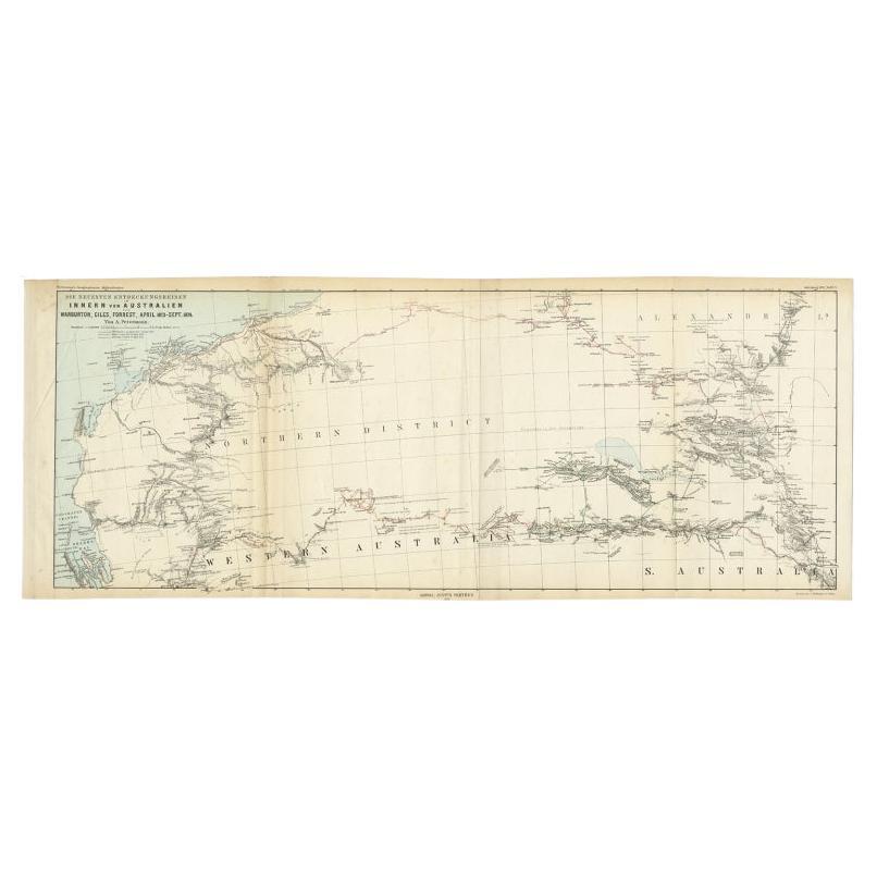
- Antique Exploration Map of Australia from Sharks Bay to Alice Springs, 1876Located in Langweer, NLAntique map titled 'Die neuesten Entdeckungsreisen Innern von Australien von Warburton, Giles, Forrest (..)'. Old map of Australia from Sharks Bay to 90 Mile Beach over to Alice Springs...Category
Antique 19th Century Maps
MaterialsPaper


Recently Viewed
View AllMore Ways To Browse
Antique Furniture Springs
Antique Guide
Antique Furniture Guides
Antique Furniture Guide
Colorado Furniture
Colorado Used Furniture
Antique Church Collectibles
Antique Colorado
Colorado Antique
Colorado Used Office Furniture
Denver Used Furniture
Antique Furniture Colorado
Spring Water Furniture
Antique Wagon
Antique Wagon Wagon
Antique Church Cross
Track Cars
George Fold Table