Items Similar to Antique Biblical Atlas with 17 Hand-Colored Maps, Religious Tract Society c.1850

Video Loading
Want more images or videos?
Request additional images or videos from the seller
1 of 20
Antique Biblical Atlas with 17 Hand-Colored Maps, Religious Tract Society c.1850
$1,184.01
£873.47
€990
CA$1,639.07
A$1,777.24
CHF 943.16
MX$21,888.92
NOK 11,689.85
SEK 11,032.53
DKK 7,537.40
About the Item
Antique Biblical Atlas with 17 Hand-Colored Maps, Religious Tract Society c.1850
This rare Biblical Atlas was published in London by the Religious Tract Society, founded in 1799, and contains seventeen finely engraved maps with explanatory notices. Designed for Biblical study, these maps illustrate the geography of the Old and New Testament, including Canaan, Mesopotamia, Ancient Egypt, the Journeyings of the Israelites, the Kingdoms of David and Solomon, Palestine in the time of Christ, Jerusalem and the Temple, and the Voyages of the Apostle Paul.
The maps are engraved with precise linework and delicately hand-colored in outline, highlighting territorial divisions and Biblical regions. The cartography is accompanied by contextual notes, allowing the work to serve both as a practical reference and a devotional aid. Engraver Edward Gower’s name appears on several plates, attesting to the quality of the mapwork.
The atlas is bound in contemporary marbled boards with leather spine and corners, and a gilt-lettered title label to the upper cover. This combination of scholarly utility and devotional presentation made the *Biblical Atlas* an important resource for 19th-century households, churches, and schools. Today, it remains valued both for its historical cartography and as a complete set of decorative maps for collectors of Biblical geography.
Condition report:
Complete with all 17 maps. Binding rubbed and worn, corners and edges scuffed, marbled boards faded. Maps generally clean with crisp impressions and hand-coloring; some light toning, minor creasing at folds, and occasional edge wear. A well-preserved example in fair to good condition.
Framing tips:
Individual maps from this atlas display beautifully when framed. A double mat with soft ivory and a stone-grey outer border will emphasize the delicate hand-coloring, while a dark wood or gilt frame provides a timeless presentation. Maps such as “Palestine in the Time of our Saviour” and “Voyages of the Apostle Paul” are particularly striking as standalone wall pieces.
Technique: Engraving with original hand-color
Maker: Religious Tract Society, London, c.1850
Additional info:
Title: The Biblical Atlas: Containing Seventeen Maps, with Explanatory Notices
Publisher: The Religious Tract Society, London (Institution founded in 1799)
Publication date: Not printed on the title page, but editions are typically mid-19th century (c. 1830–1860).
Format: Quarto (approx. 28–30 cm), marbled boards with leather spine and corners, gilt title on cover.
Maps: 17 engraved maps, hand-colored in outline, covering Biblical lands, including:
The World as known to the Ancients
Canaan, Mesopotamia, and adjacent countries
Ancient Egypt
The Journeyings of the Israelites
Canaan in the Books of Joshua & Judges
Kingdoms of David & Solomon, Judah & Israel
Jerusalem & Temple plans
Palestine in the time of Christ
Voyages of St. Paul
Ancient Persia, Roman Empire, Turkey, Modern Palestine and Egypt
Binding: Worn, with scuffing to corners, edges, and spine; marbled boards rubbed. Maps: Complete, hand-colored, with some light toning and creases but generally well-preserved. No major tears visible.
Paper: Typical age-toning, but pages crisp with strong impressions.
Rarity and Collectibility:
The Religious Tract Society produced affordable but finely engraved atlases for Biblical study, often used by churches and schools. Surviving complete copies with intact maps and hand-coloring are desirable to collectors of Biblical cartography.
The engraved maps are stylistically linked to Edward Gower (engraver), whose name appears on some plates, as seen on the “Ancient Egypt” map.
- Dimensions:Height: 10.01 in (25.4 cm)Width: 6.7 in (17 cm)Depth: 0.44 in (1.1 cm)
- Materials and Techniques:
- Place of Origin:
- Period:
- Date of Manufacture:circa 1850
- Condition:Complete with all 17 maps. Binding rubbed and worn, corners and edges scuffed, marbled boards faded. Maps generally clean with crisp impressions and hand-coloring; some light toning, minor creasing at folds, and occasional edge wear. Well-preserved.
- Seller Location:Langweer, NL
- Reference Number:Seller: BG-141241stDibs: LU3054346586172
About the Seller
5.0
Recognized Seller
These prestigious sellers are industry leaders and represent the highest echelon for item quality and design.
Platinum Seller
Premium sellers with a 4.7+ rating and 24-hour response times
Established in 2009
1stDibs seller since 2017
2,620 sales on 1stDibs
Typical response time: <1 hour
- ShippingRetrieving quote...Shipping from: Langweer, Netherlands
- Return Policy
Authenticity Guarantee
In the unlikely event there’s an issue with an item’s authenticity, contact us within 1 year for a full refund. DetailsMoney-Back Guarantee
If your item is not as described, is damaged in transit, or does not arrive, contact us within 7 days for a full refund. Details24-Hour Cancellation
You have a 24-hour grace period in which to reconsider your purchase, with no questions asked.Vetted Professional Sellers
Our world-class sellers must adhere to strict standards for service and quality, maintaining the integrity of our listings.Price-Match Guarantee
If you find that a seller listed the same item for a lower price elsewhere, we’ll match it.Trusted Global Delivery
Our best-in-class carrier network provides specialized shipping options worldwide, including custom delivery.More From This Seller
View AllAntique Map Showing the Religions Around the World by Johnston '1854'
Located in Langweer, NL
Antique map titled 'Moral & Statistical Chart showing the Geographical Distribution of Man According to Religious Belief'. Rare large-size thematic map on the distribution of religio...
Category
Antique Mid-19th Century Maps
Materials
Paper

$932 Sale Price
35% Off
Antique Physical Map of the World by Reynolds, 1849
Located in Langweer, NL
Antique physical map of the world, showing the discoveries of the most eminent modern geographers. Originates from 'Geographical Diagrams '.
Artists and Engravers: Published by J...
Category
Antique 19th Century Maps
Materials
Paper
$267 Sale Price
20% Off
Antique Map of the Eastern Hemisphere by Wyld, 1842
Located in Langweer, NL
Antique map titled 'Eastern Hemisphere'. Large map depicting the continents Europe, Asia, Afrika and Australia.
Artists and Engravers: James Wyld (1812–1887) was a British geograph...
Category
Antique 19th Century Maps
Materials
Paper

$1,052 Sale Price
20% Off
Biblical Journeys: Apostle Paul's Voyages and the Israelites' Exodus, 1856
Located in Langweer, NL
Two maps in matting board. From the Pictorial Bible Atlas, published in 1856.
Title for Map 1: Voyages and Travels of Apostle Paul – Illustrated Antique...
Category
Antique 1850s Maps
Materials
Paper
Antique Map of The World in Hemispheres by W. G. Blackie, 1859
Located in Langweer, NL
Antique map titled 'The World in Hemispheres with other projections'. Original antique map of The World. This map originates from ‘The Imperial Atlas of Modern Geography’. Published ...
Category
Antique Mid-19th Century Maps
Materials
Paper

$293 Sale Price
30% Off
Small Antique Map of the Asian Continent, 1841
Located in Langweer, NL
Antique map titled 'Azie.' Small map of the Asian continent. This map originates from 'De Aarde, beschouwd in haren Natuurlijken Toestand en Verdeeling (..)' by N.G. van Kampen. Publ...
Category
Antique 19th Century Maps
Materials
Paper
$239 Sale Price
20% Off
You May Also Like
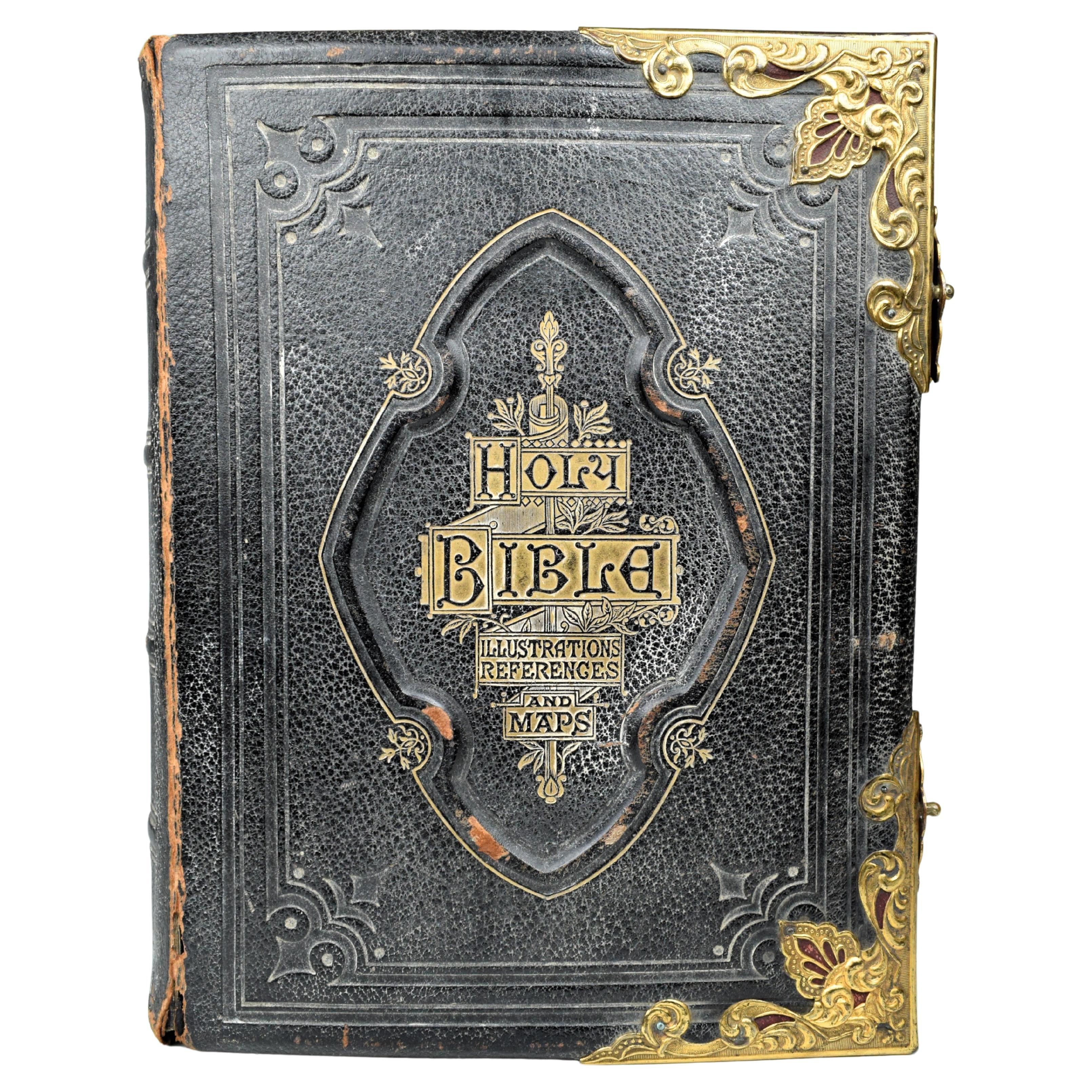
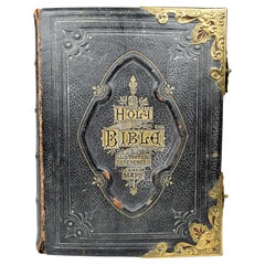
The Holy Bible With An Abridgement Of The Commentaries Of Scott And Henry
Located in Islamabad, PK
The Holy Bible With An Abridgement Of The Commentaries Of Scott And Henry
Bound in full navy Morocco with the covers displaying open-tooled bordering details, an indented central ti...
Category
Antique 19th Century British Victorian Antiquities
Materials
Gold Plate
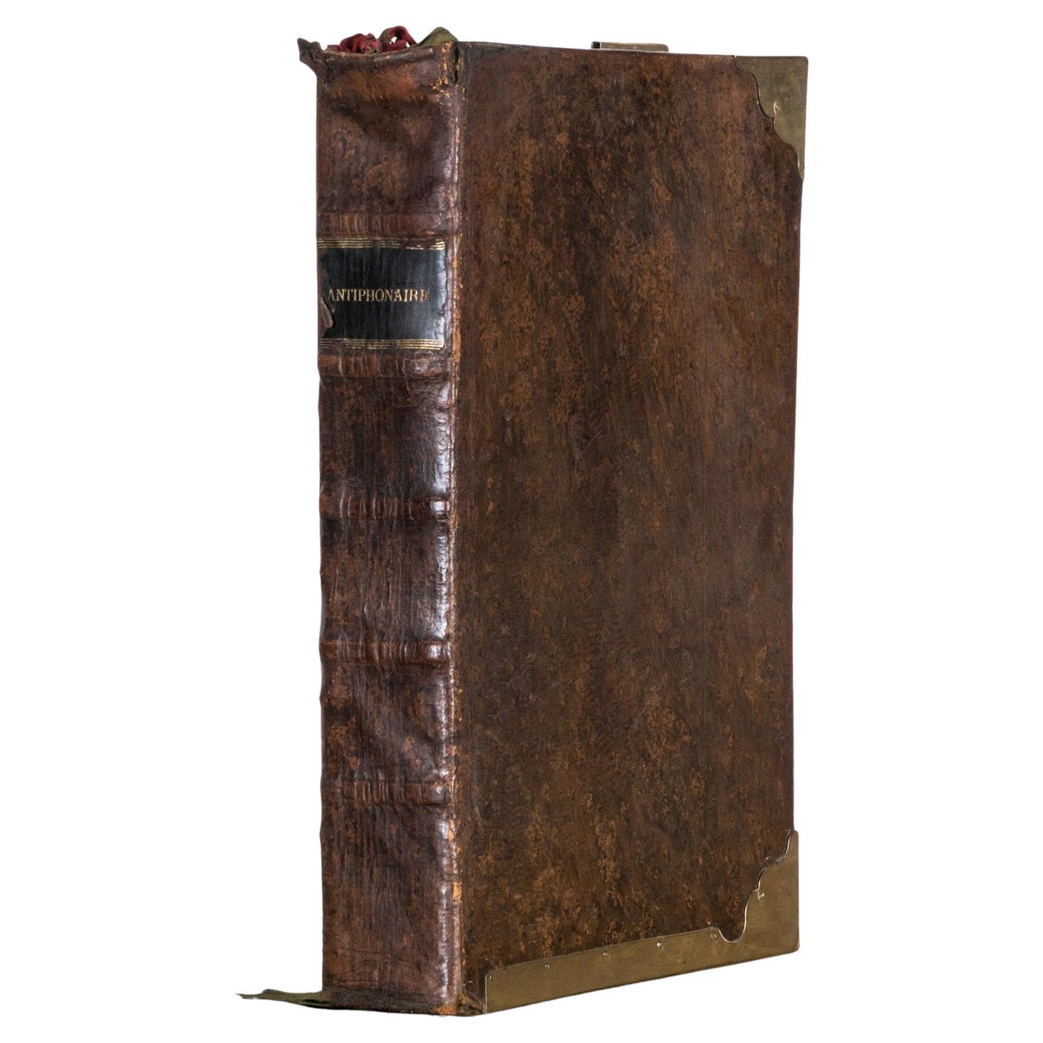
Large Antique Roman Hymnal or Song Book “Antiphonaire”, 1862
Located in AMSTERDAM, NH
Impressive antique hymnal or songbook titled "Antiphonaire, Antiphonarium Romanum," featuring Latin Gregorian hymns of Psalms, dated 1862.
This large ...
Category
Antique 1860s Georgian Religious Items
Materials
Leather, Paper
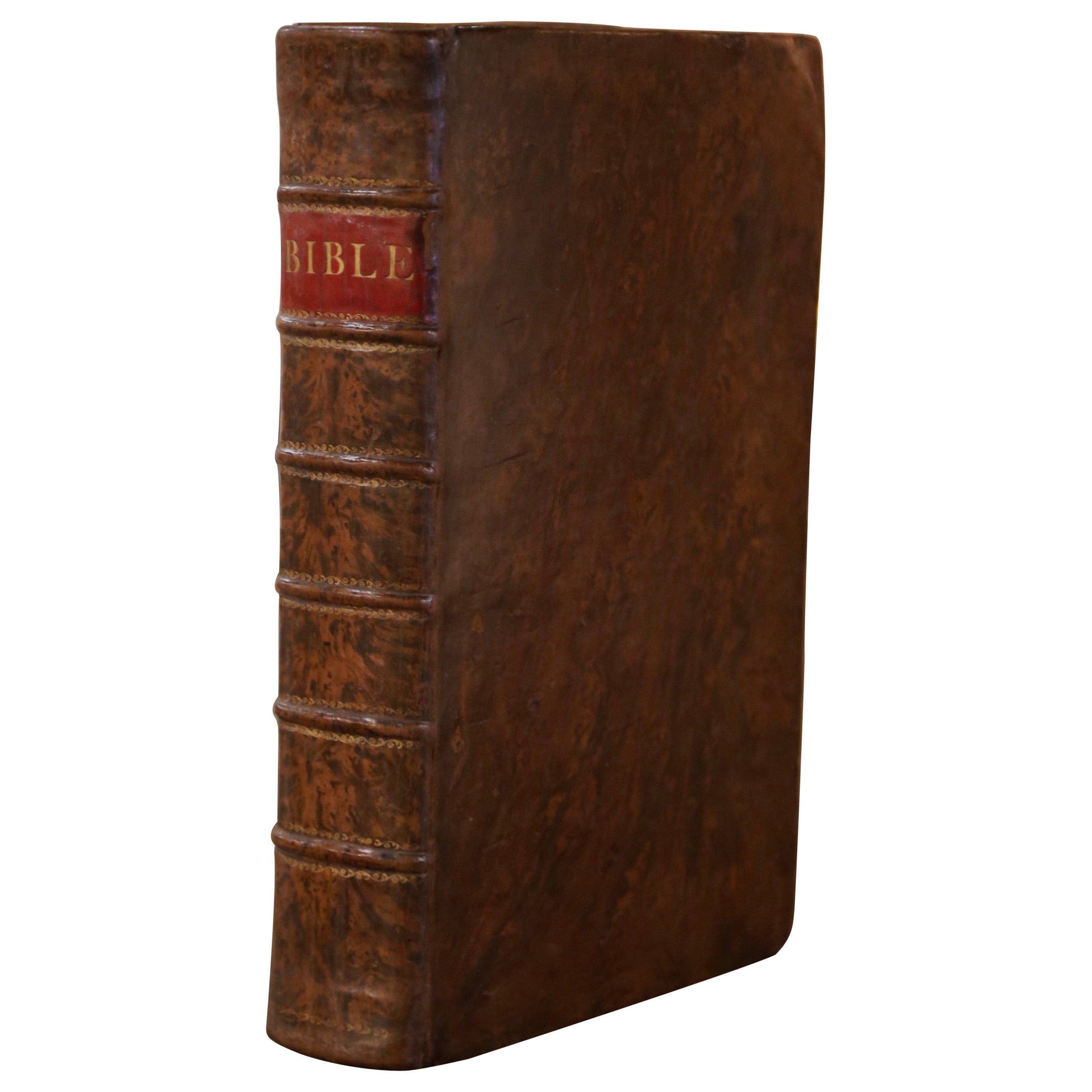
Early 19th Century English Leather Bound Illustrated Family Holy Bible
Located in Dallas, TX
Study the word of Gog with this beautiful antique Bible. Printed in Bungay, England by Brightly and Childs circa 1814, the book showcases a sturdy leather binding with a prominent re...
Category
Antique Early 19th Century English Religious Items
Materials
Leather, Paper

"The Holy Bible" By Rev. John Brown, 1870s
Located in Palermo, IT
"The Holy Bible" By Rev. John Brown, 1870s
Old and new testaments.
Marginal references and illustrations;
An exact summary of the several books;
A paraphrase on the most obscure or i...
Category
Antique 1870s British Religious Items
Materials
Paper
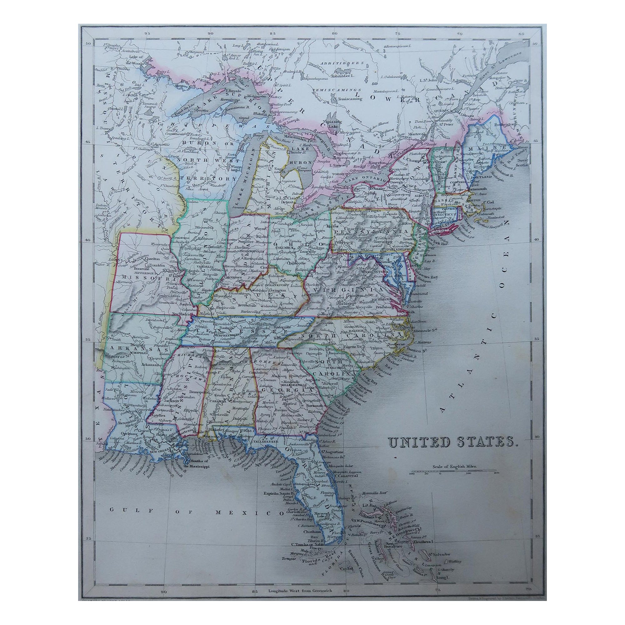
Original Antique Map of United States, Grattan and Gilbert, 1843
Located in St Annes, Lancashire
Great map of United States
Drawn and engraved by Archer
Published by Grattan and Gilbert. 1843
Original colour
Unframed.
Category
Antique 1840s English Maps
Materials
Paper

1864 Map of North America, Antique Hand-Colored Map, by Adolphe Hippolyte Dufour
Located in Colorado Springs, CO
Offered is a map of North America entitled Amerique du Nord from 1864. This rare, separately published wall map was produced by Adolphe Hippolyte Dufour. This map includes vibrant an...
Category
Antique 1860s French Maps
Materials
Paper
