Items Similar to Antique Map of the course of the Rhine from Lahnstein to Rheinkassel, Germany
Want more images or videos?
Request additional images or videos from the seller
1 of 6
Antique Map of the course of the Rhine from Lahnstein to Rheinkassel, Germany
About the Item
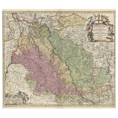
Antique map titled 'Parte meridionale degli Stati dell 'Elet di Colonia'. This map shows the course of the Rhine from Lahnstein to Rheinkassel and the area west to Aachen, Germany. With inset map of the course of the Rhine. Published by V. Coronelli, circa 1690. Vincenzo Maria Coronelli (August 16, 1650 - December 9, 1718) was an important 17th century cartographer and globe maker based in Venice.
- Dimensions:Height: 18.78 in (47.7 cm)Width: 25.71 in (65.3 cm)Depth: 0.02 in (0.5 mm)
- Materials and Techniques:
- Period:Late 17th Century
- Date of Manufacture:c.1690
- Condition:General age-related toning. Original folding line. Minor wear and soiling, blank verso. Please study image carefully.
- Seller Location:Langweer, NL
- Reference Number:
About the Seller
5.0
Platinum Seller
These expertly vetted sellers are 1stDibs' most experienced sellers and are rated highest by our customers.
Established in 2009
1stDibs seller since 2017
1,928 sales on 1stDibs
Typical response time: <1 hour
- ShippingRetrieving quote...Ships From: Langweer, Netherlands
- Return PolicyA return for this item may be initiated within 14 days of delivery.
More From This SellerView All
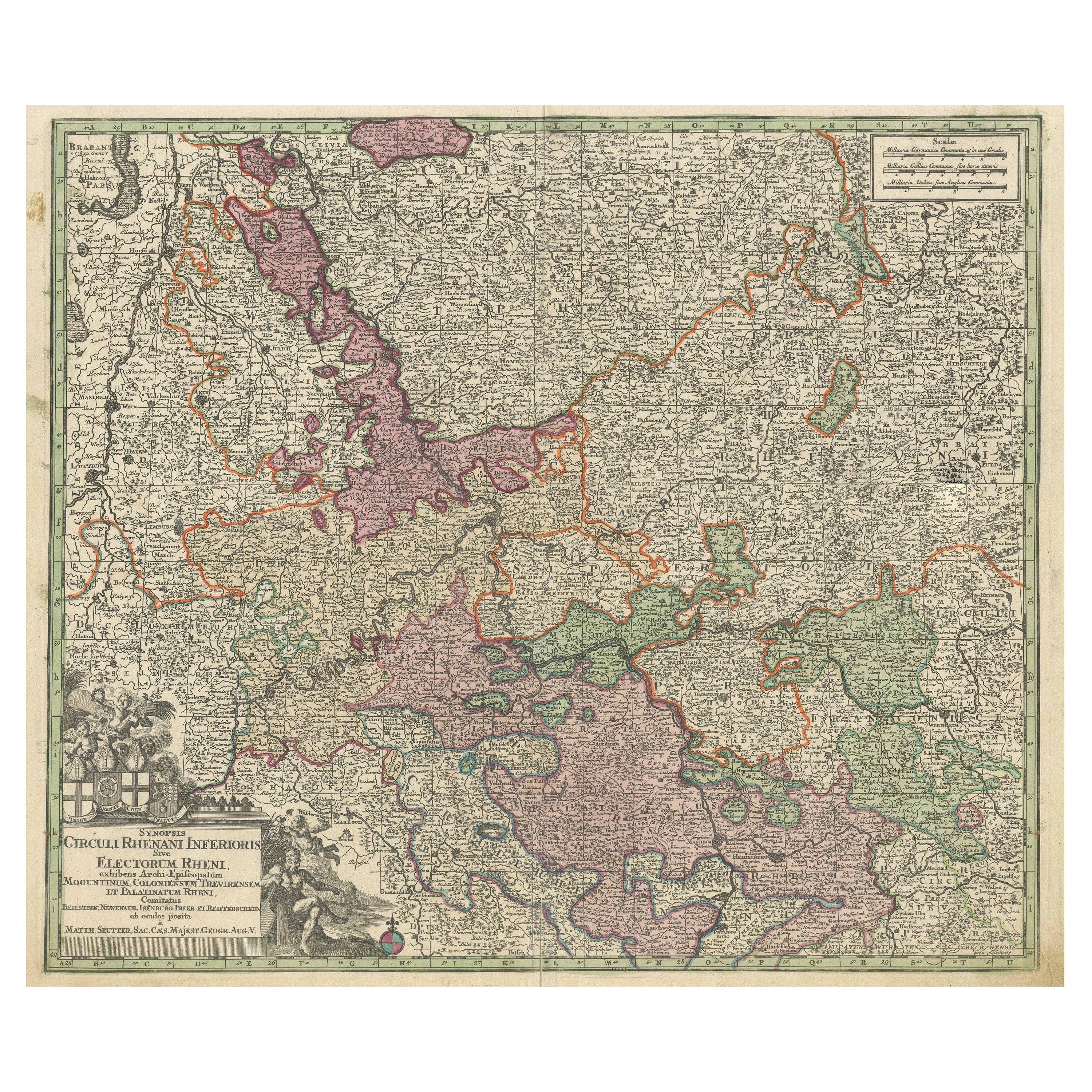
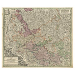
- Antique Map of the Course of the Rhine from Philippsburg to Duisburg, GermanyLocated in Langweer, NLAntique map titled 'Synopsis Circuli Rhenani Inferioris sive Electorum Rheni (..)'. This map shows the course of the Rhine from Philippsburg to Duisburg, as well as the course of the...Category
Antique Mid-18th Century Maps
MaterialsPaper
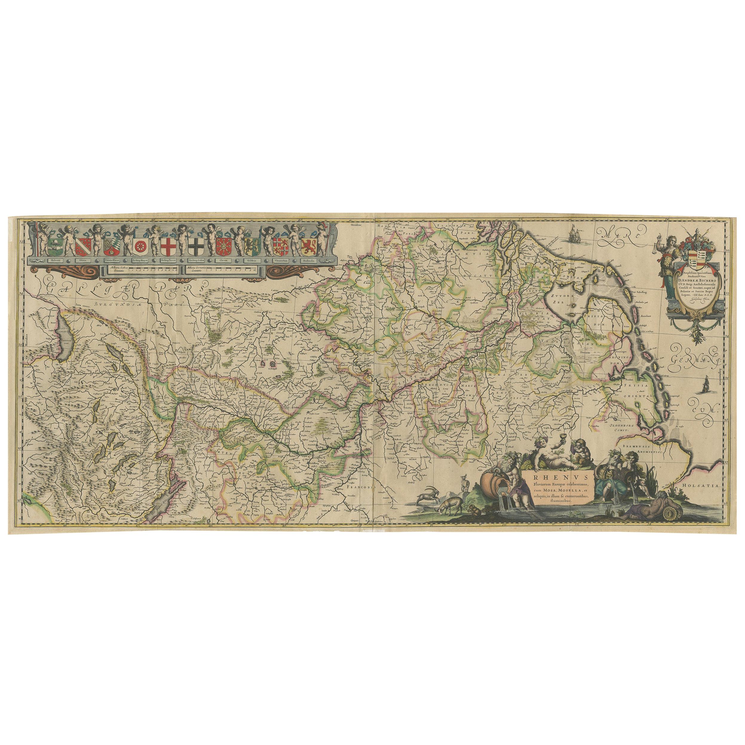
- Antique Map of the Course of the Rhine River by Blaeu, circa 1640Located in Langweer, NLAntique map titled 'Rhenus Fluviorum Europae celeberrimus, cum Mosa, Mosella, et reliquis, in illum se exonerantibus, fluminibus'. Beautiful map of the course of the Rhine River...Category
Antique Mid-17th Century Maps
MaterialsPaper
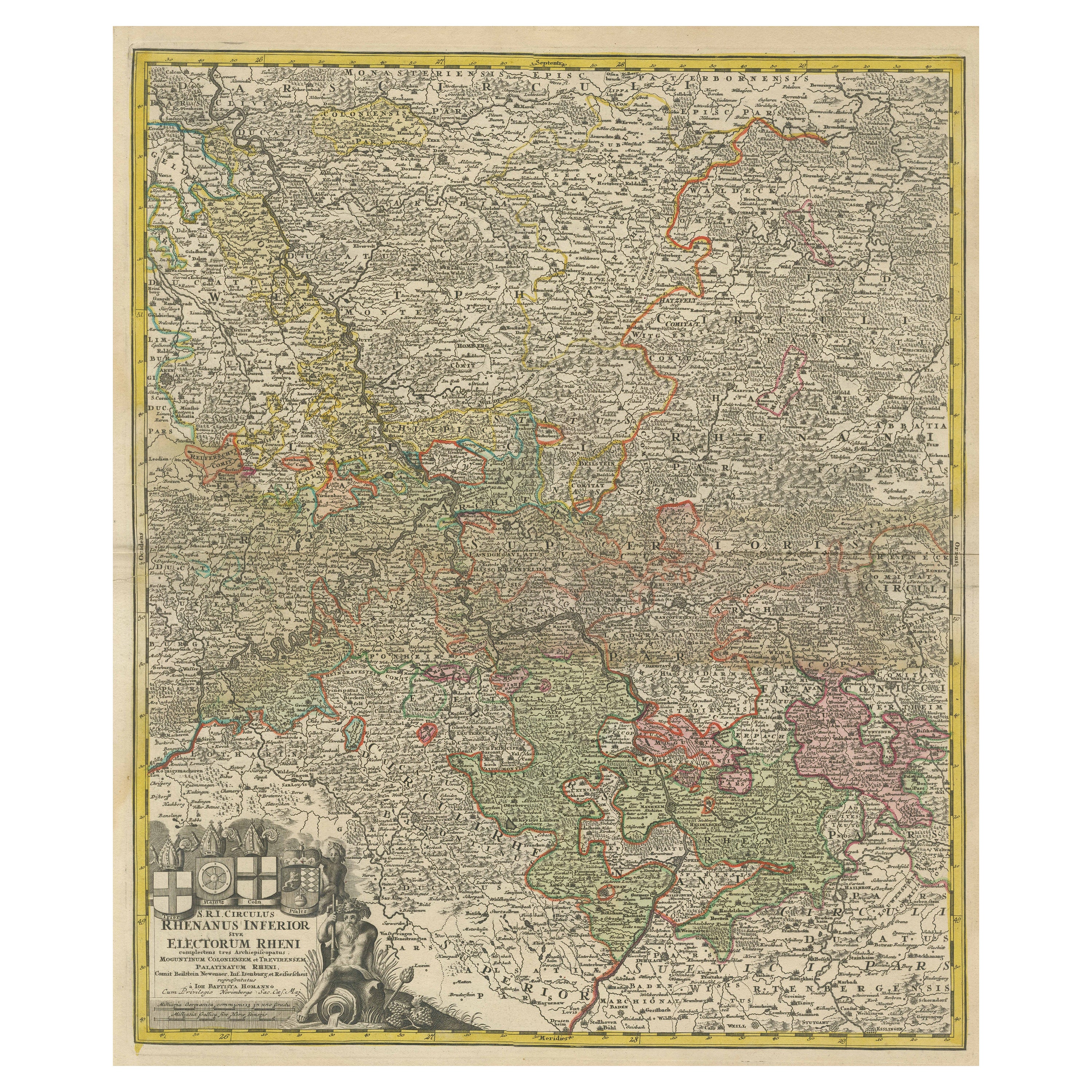
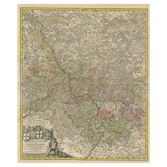
- Detailed Antique Map of the Lower Rhine region, GermanyLocated in Langweer, NLAntique map titled 'S.R.I. Circulus Rhanus Inferior sive Electorum Rheni (..)'. Detailed map of the Lower Rhine region, Germany. The title cartouche in the upper left quadrant featur...Category
Antique Mid-18th Century Maps
MaterialsPaper
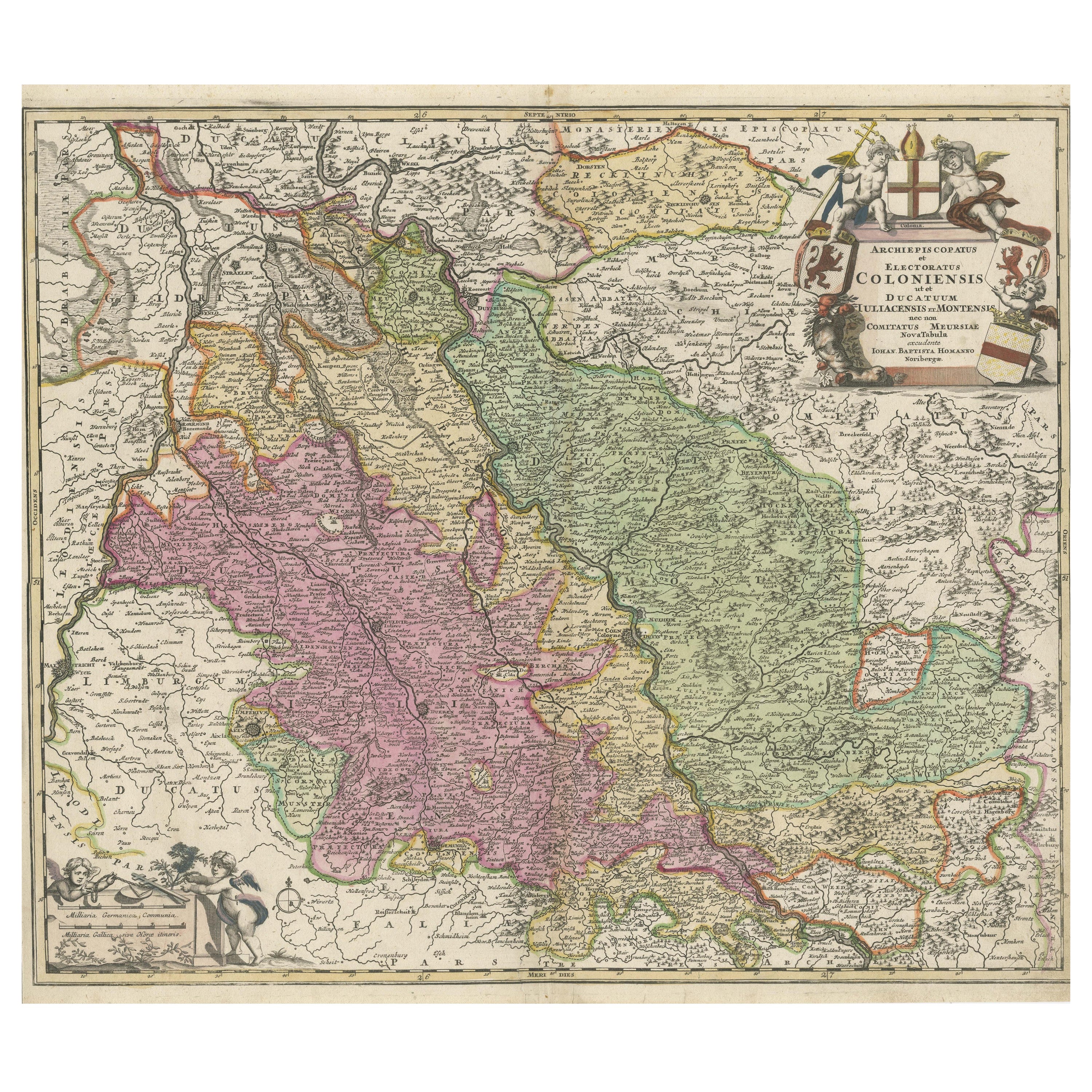
- Antique Map of the Rhine centered on Cologne, GermanyLocated in Langweer, NLAntique map titled 'Archiepsiscopatus et Electoratus Coloniensis (..)'. Original antique map of the Rhine river, centered on Cologne, Germany. The Rhine River cuts across this map fr...Category
Antique Early 18th Century Maps
MaterialsPaper
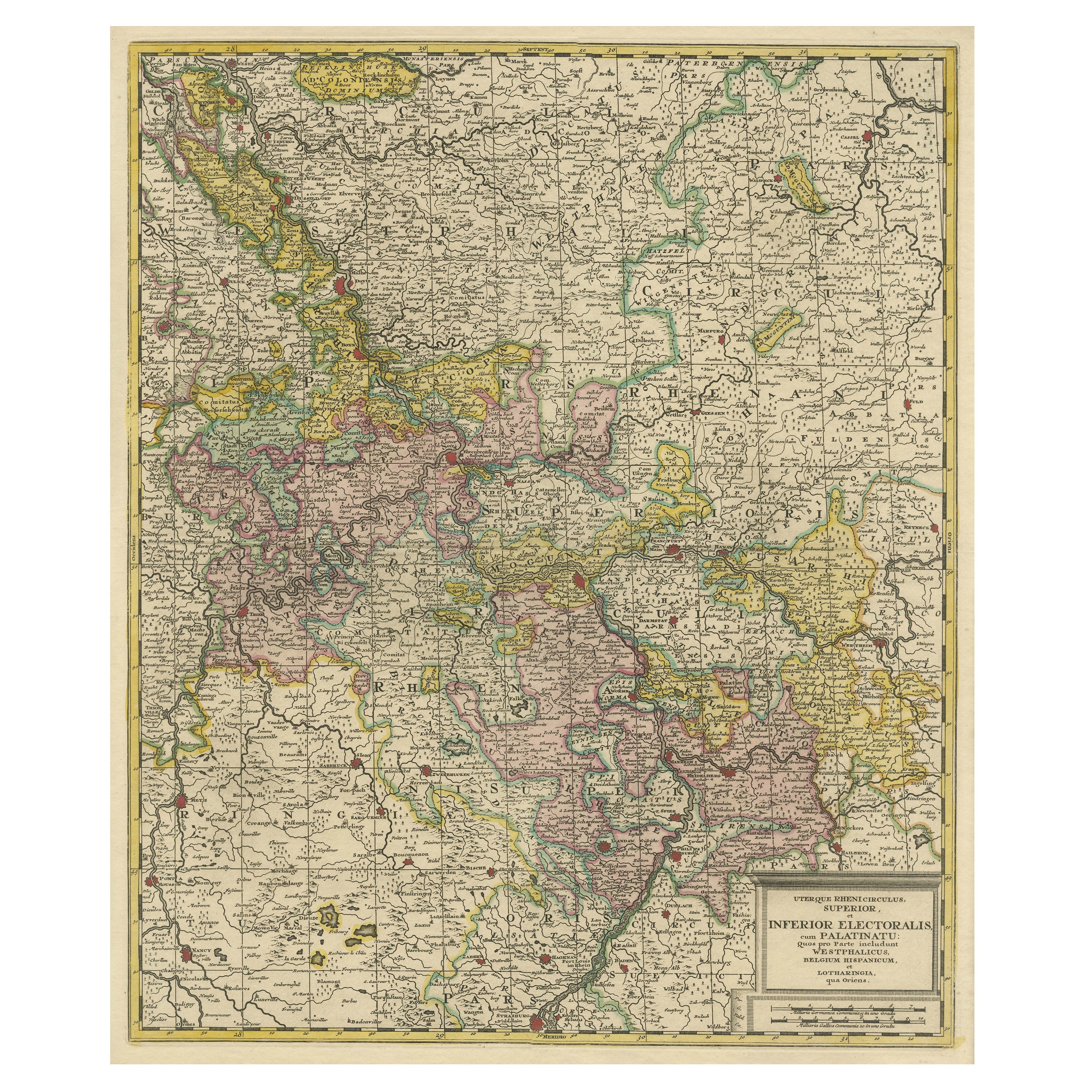
- Antique Map of the Area centered on the Rhine River, GermanyLocated in Langweer, NLAntique map titled 'Uterque Rheni Circulus Superior (..)'. Fine old color map of the area centered on the Rhine River, from Strassbourg to Wesel and Duisburg, Germany. With cities hi...Category
Antique Early 18th Century Maps
MaterialsPaper
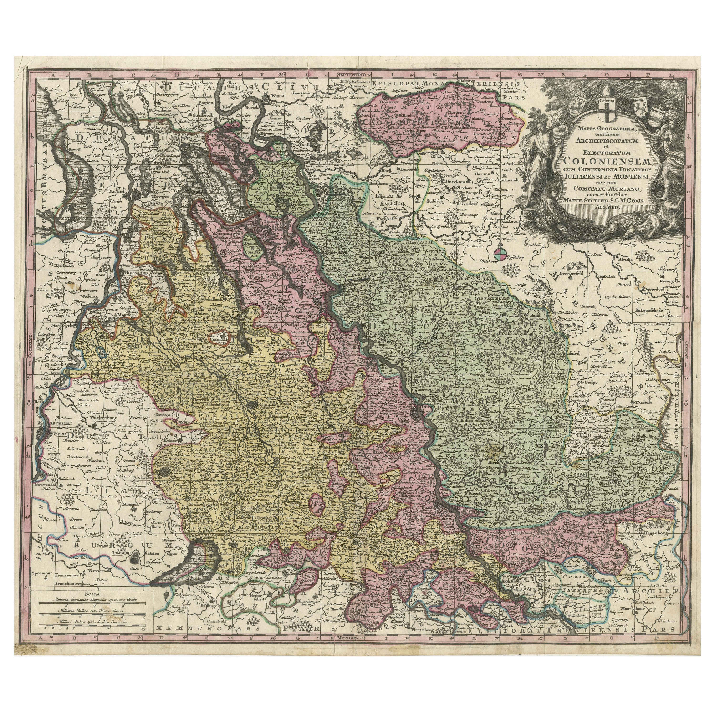
- Antique Map of both sides of the Central Rhine River, GermanyLocated in Langweer, NLAntique map titled 'Mappa Geographica continens Archiepiscopatum et Electoratum Coloniensem (..)'. Decorative map of region on either side of the Central Rhine River, showing Dusseld...Category
Antique Mid-18th Century Maps
MaterialsPaper

You May Also Like
- Germany West of the Rhine: A Hand-colored 18th Century Map by de WitBy Frederick de WitLocated in Alamo, CAThis original 18th century hand-colored map of the county of Moers, Germany entitled "Illustrissimo Celsissmo Principi GUILIELMO HENRICO D.G. Arausionum Principi Domino suo Clementis...Category
Antique Early 18th Century Dutch Maps
MaterialsPaper
- 1880s Map of The Italian Alps from Milan to Lake GardaLocated in Roma, ITGeographical Map of the Profile and Elevation of the Italian Alps from Milano to Lake Garda. The map features the name of each peak and key cities including Monza, Brescia and Bergam...Category
Antique 1880s Italian Maps
MaterialsParchment Paper
- "The United States from the Latest Authorities" Antique Wall Map, 1835Located in Colorado Springs, COThis is a 1835 map of “The United States from the Latest Authorities” by Ezra Strong. A hand-colored engraved wall map of the eastern half of the United States, this map has a large inset of the "Oregon District" and several engraved city views and two portraits. The primary map extends to Mexico Texas and the Missouri Territory, showing the course of the Missouri River to Ft. Mandan and Old Ft. Mandan, and noting many forts along the river. The territories to the east of Missouri Territory are separately delineated as Sioux District and Huron District. The western details of the map are very good for a map of this time period, with many Native American settlements, villages, forts and other details noted. The map is bordered with vignettes of Boston, New York, Philadelphia, Hartford, Cincinnati, and Baltimore. Each vignette notes the date settled, primary settler, and the population as of 1830. Two portraits of LaFayette and George Washington are presented in full length with related biographical information. A large inset map at lower right shows the Oregon District, centered on the Columbia River and extending to the Rocky Mountains. This is one of the earliest commercial appearances of a separate map of Oregon...Category
Antique 1830s American Maps
MaterialsPaper
- 1861 Topographical Map of the District of Columbia, by Boschke, Antique MapLocated in Colorado Springs, COPresented is an original map of Albert Boschke's extremely sought-after "Topographical Map of the District of Columbia Surveyed in the Years 1856 ...Category
Antique 1860s American Historical Memorabilia
MaterialsPaper
- East German MapBy VEB Hermann HaackLocated in Baltimore, MDA brilliantly colourful map of the Leipzig, Karl Marx Stadt and Dresden area in the former German Democratic Republic by VEB Hermann Haack of Gotha.Category
Vintage 1970s German Maps
- Set of 4 Antique Geographical Maps French-German War 1870-71Located in Casale Monferrato, ITElegant late 19th century set of four antique geographical maps relating to the positioning of the armies in the Franco-German War 1870-71. A...Category
Antique 1890s Italian Maps
MaterialsPaper


Recently Viewed
View AllMore Ways To Browse
Map Of Ural
Rail Road Collectables
Australasia Antique Map
The Grand Mogol
Antique Map Austro Hungarian
Antique Montana Map
Map Of Montana
Mauritius Antique Map
Manchester Antique Map
Georgetown Map
Guatemala Antique Map
Map Montana
Montana Maps
Antique Chesapeake Bay Map
Antique Map Of Chesapeake Bay
J Thayer
Indie Vintage
Paraguay Antique Map