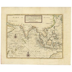
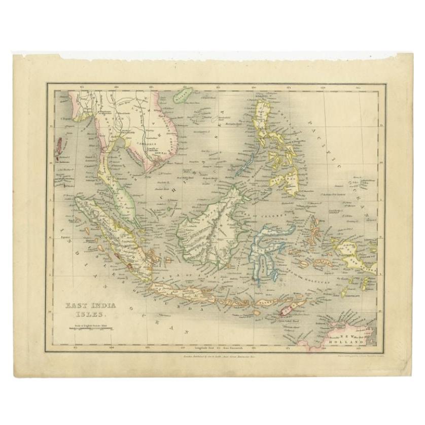
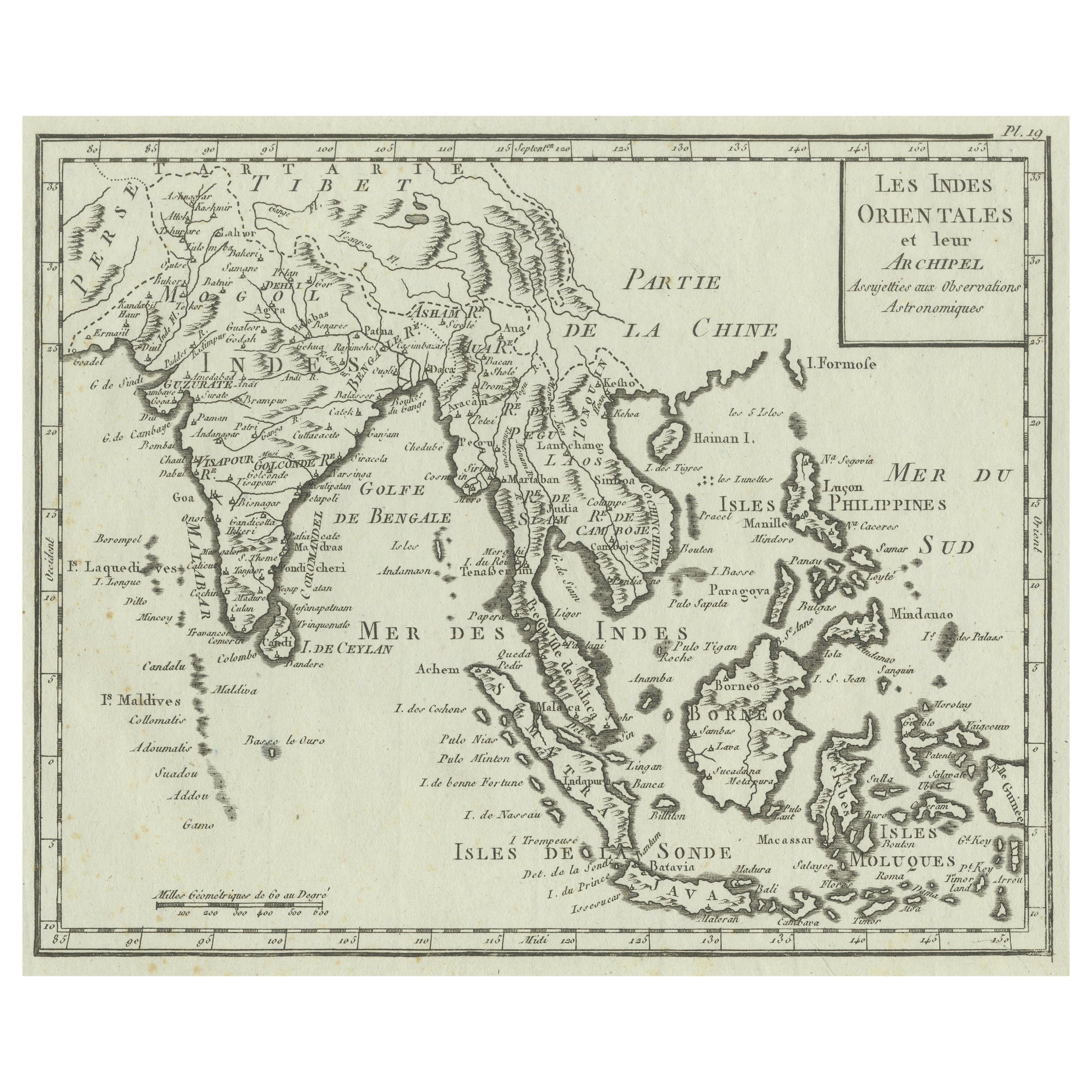
Antique Map of the East Indies by Moll '1745'
View Similar Items


Want more images or videos?
Request additional images or videos from the seller
1 of 5
Antique Map of the East Indies by Moll '1745'
About the Item
- Dimensions:Height: 13.98 in (35.5 cm)Width: 16.93 in (43 cm)Depth: 0.02 in (0.5 mm)
- Materials and Techniques:
- Period:
- Date of Manufacture:1745
- Condition:General age-related toning, minor wear. Blank verso, please study images carefully.
- Seller Location:Langweer, NL
- Reference Number:Seller: BGJC-3611stDibs: LU3054317503531
About the Seller
5.0
Recognized Seller
These prestigious sellers are industry leaders and represent the highest echelon for item quality and design.
Platinum Seller
Premium sellers with a 4.7+ rating and 24-hour response times
Established in 2009
1stDibs seller since 2017
2,442 sales on 1stDibs
Typical response time: 1 hour
Authenticity Guarantee
In the unlikely event there’s an issue with an item’s authenticity, contact us within 1 year for a full refund. DetailsMoney-Back Guarantee
If your item is not as described, is damaged in transit, or does not arrive, contact us within 7 days for a full refund. Details24-Hour Cancellation
You have a 24-hour grace period in which to reconsider your purchase, with no questions asked.Vetted Professional Sellers
Our world-class sellers must adhere to strict standards for service and quality, maintaining the integrity of our listings.Price-Match Guarantee
If you find that a seller listed the same item for a lower price elsewhere, we’ll match it.Trusted Global Delivery
Our best-in-class carrier network provides specialized shipping options worldwide, including custom delivery.More From This Seller
View AllAntique Map of the East Indies by Levasseur, '1875'
Located in Langweer, NL
Antique map titled 'Carte de la Malaisie'. Large map of the East Indies. This map originates from 'Atlas de Géographie Moderne Physique et Politique' by A. Levasseur. Published 1875.
Category
Antique Late 19th Century Maps
Materials
Paper

$434 Sale Price
25% Off
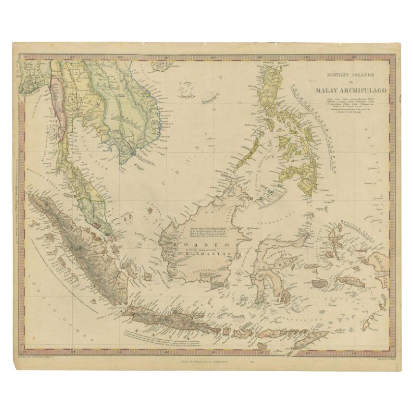
Antique Map of the East Indies by Wyld '1845'
Located in Langweer, NL
Antique map titled 'Archipelago of the Indian Ocean'. Original antique map of the East Indies. This map originates from 'An Atlas of the World, Comprehending Separate Maps of its Var...
Category
Antique Mid-19th Century Maps
Materials
Paper

$324 Sale Price
20% Off
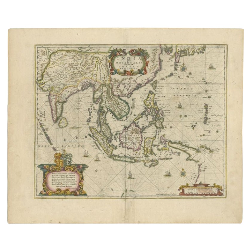
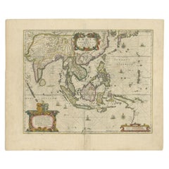
Antique Map of the East Indies by Janssonius, c.1644
By Johannes Janssonius
Located in Langweer, NL
Antique map titled 'India quae Orientalis dicitur, et Insulae adiacentes'. Old map of the East Indies and Southeast Asia showing the area between India in the West and parts of Japan...
Category
Antique 17th Century Maps
Materials
Paper
$2,453 Sale Price
20% Off
Antique Map of the East Indies by Bonne '1776'
Located in Langweer, NL
Antique map titled 'Indes IVe Feuille'. Very decorative original antique map of the East Indies. Covbers from the Gulf of Siam (Gulf of Thailand) and Malacca (Malaysia) eastward to i...
Category
Antique Late 18th Century Maps
Materials
Paper

$509 Sale Price
20% Off
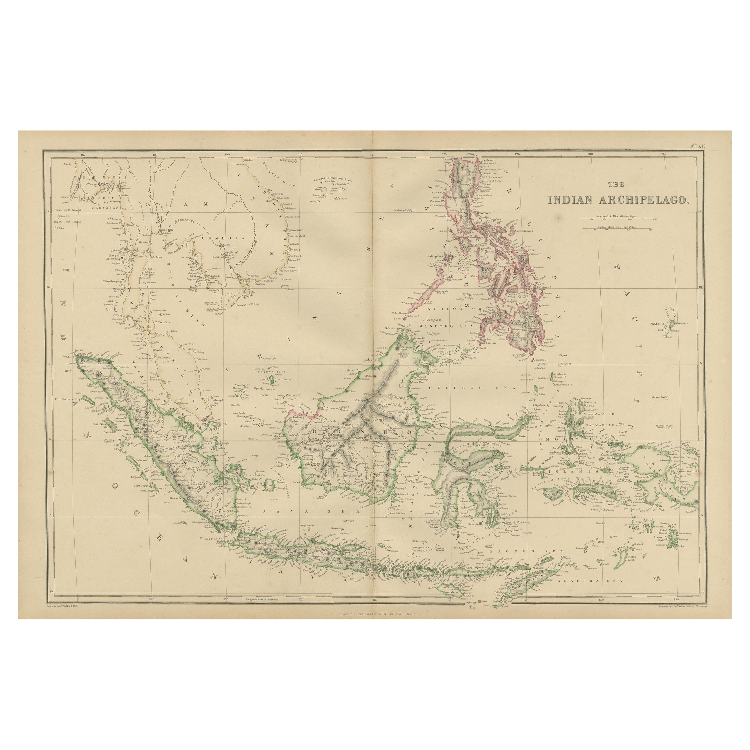
Antique Map of the East Indies by W. G. Blackie, 1859
Located in Langweer, NL
Antique map titled 'The Indian Archipelago'. Original antique map of the East Indies. This map originates from ‘The Imperial Atlas of Modern Geography’. Published by W. G. Blackie, 1...
Category
Antique Mid-19th Century Maps
Materials
Paper
$254 Sale Price
20% Off
Antique Map of the East Indies by A & C. Black, 1870
Located in Langweer, NL
Antique map titled 'Indian Archipelago and Further India including Burmah, Siam, Anam &c'. Original antique map of Indian Archipelago and Further India. This map originates from ‘Bla...
Category
Antique Late 19th Century Maps
Materials
Paper

$254 Sale Price
20% Off
You May Also Like
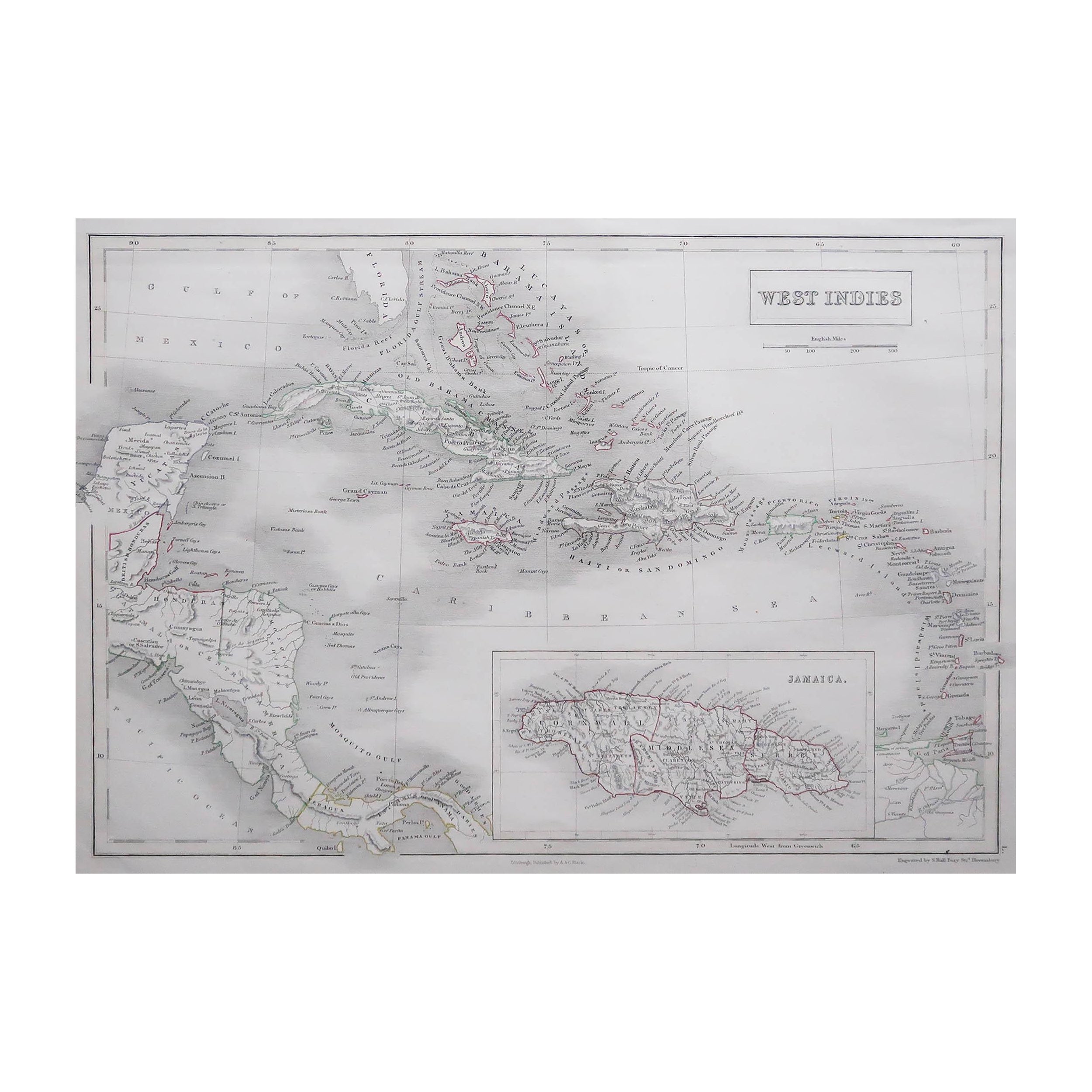
Large Original Antique Map of The West Indies by Sidney Hall, 1847
Located in St Annes, Lancashire
Great map of The West Indies
Drawn and engraved by Sidney Hall
Steel engraving
Original colour outline
Published by A & C Black. 1847
Unframed
Free shipping.
Category
Antique 1840s Scottish Maps
Materials
Paper

London 1744 Published Watercolour Antique Map of East Africa by Eman Bowen
Located in West Sussex, Pulborough
We are delighted to offer for sale this New and Accurate Map of Nubia & Abissinia, together with all the Kingdoms Tributary Thereto, and bordering upon them published in 1744 by Emanuel Bowen
This is a decorative antique engraved map of East Africa...
Category
Antique 1740s English George III Maps
Materials
Paper

$1,043 Sale Price
20% Off
Original Antique Map of The Philippines. C.1900
Located in St Annes, Lancashire
Fabulous map of The Philippines
Original color.
Engraved and printed by the George F. Cram Company, Indianapolis.
Published, C.1900.
Unframed.
Free shipping.
Category
Antique 1890s American Maps
Materials
Paper

Large Original Antique Map of The Bahamas. 1894
Located in St Annes, Lancashire
Superb Antique map of The Bahamas
Published Edward Stanford, Charing Cross, London 1894
Original colour
Good condition
Unframed.
Free shipping
Category
Antique 1890s English Maps
Materials
Paper

Large Original Antique Map of the The Windward Islands. 1894
Located in St Annes, Lancashire
Superb Antique map of The Windward Islands
Published Edward Stanford, Charing Cross, London 1894
Original colour
Good condition
Unframed.
Free shipping
Category
Antique 1890s English Maps
Materials
Paper

Original Antique Map of the American State of Oregon, 1889
Located in St Annes, Lancashire
Great map of Oregon
Drawn and Engraved by W. & A.K. Johnston
Published By A & C Black, Edinburgh.
Original colour
Unframed.
Category
Antique 1880s Scottish Victorian Maps
Materials
Paper

Recently Viewed
View AllMore Ways To Browse
Antique Maps Southeast Asia
Philippines Map
Antique Map Of The Philippines
Osborne China
Maps Tallis
Relief Map
Railroad And Indian
Antique Macedonia
Antique Maps Southeast Asia
Map Of Ancient Greece
Antique Railroad Collectibles
Cartographer Tool
Hungary Map
Large Map Of Italy
Antique Map Of Poland
Antique Railroad Maps
Antique Surveying Level
Island Plantation