
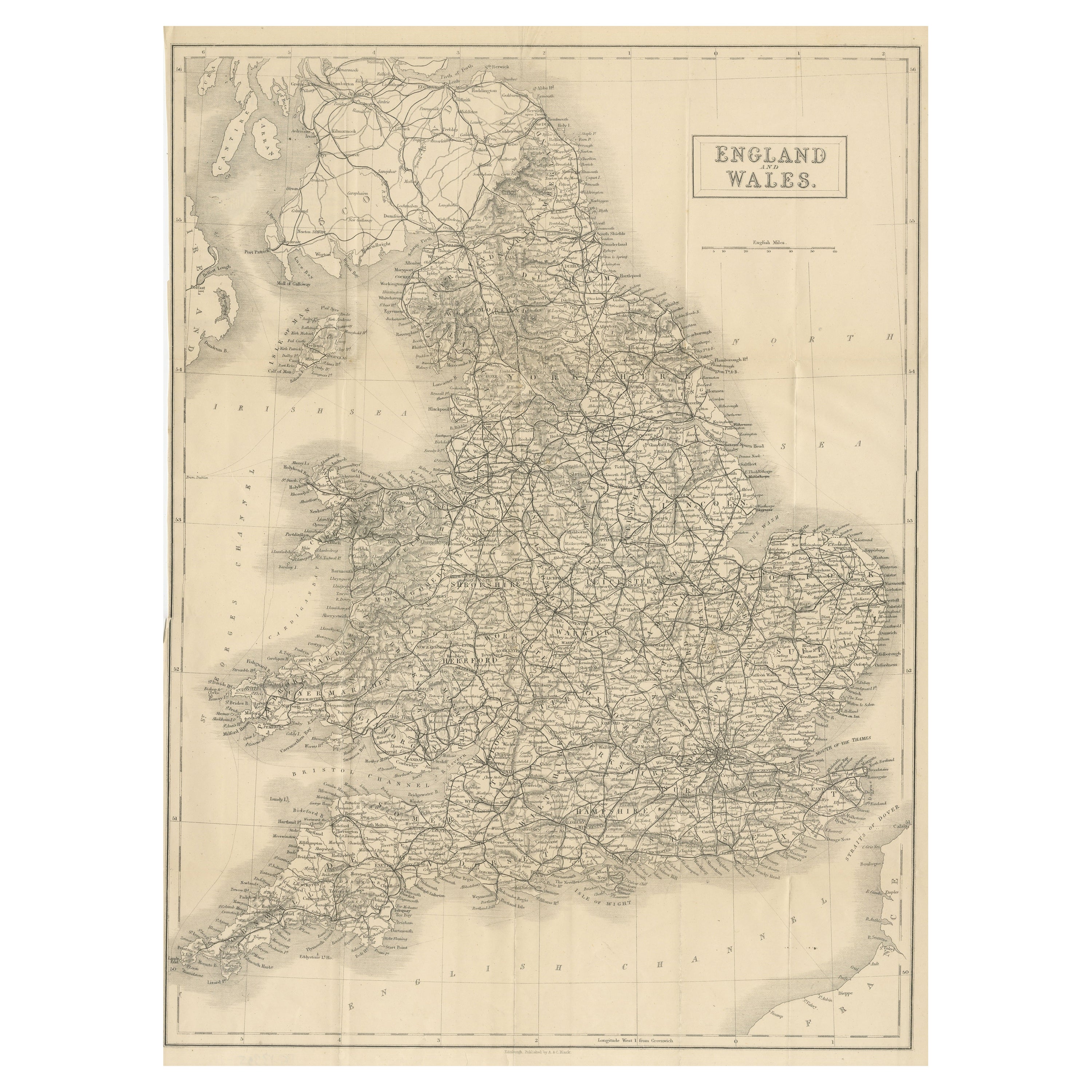
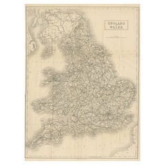
Antique Map of England and Wales by G. Kearsley, 1802
View Similar Items


Want more images or videos?
Request additional images or videos from the seller
1 of 2
Antique Map of England and Wales by G. Kearsley, 1802
About the Item
- Dimensions:Height: 8 in (20.3 cm)Width: 10.44 in (26.5 cm)Depth: 0.02 in (0.5 mm)
- Period:
- Date of Manufacture:1802
- Condition:Wear consistent with age and use. Please study image carefully.
- Seller Location:Langweer, NL
- Reference Number:Seller: D-02951stDibs: LU305439343991
About the Seller
5.0
Platinum Seller
These expertly vetted sellers are 1stDibs' most experienced sellers and are rated highest by our customers.
Established in 2009
1stDibs seller since 2017
1,933 sales on 1stDibs
More From This SellerView All
- Large Antique Map of England and WalesLocated in Langweer, NLAntique map titled 'An Accurate Map of England and Wales'. Original old map of England and Wales. Engraved by John Cary. Originates from 'New British Atlas' by John Stockdale, publis...Category
Antique Early 19th Century Maps
MaterialsPaper
- Miniature Antique Map of England and WalesLocated in Langweer, NLMiniature map titled 'England & Wales'. Original antique map of England & Wales. This map originates from 'Darton's New Miniature Atlas' publis...Category
Antique Early 19th Century Maps
MaterialsPaper
- Lithographed Antique Map of England and WalesLocated in Langweer, NLOriginal antique map titled 'Map XXIII England & Wales'. Lithographed map of England and Wales. Published by Fisk & See, circa 1890.Category
Antique Late 19th Century Maps
MaterialsPaper
- Original Antique Map of England and WalesLocated in Langweer, NLAntique map titled 'A New and Correct Map of England and Wales from the Latest and Best Improvements'. Original antique map of England and Wales. Printed by Alex Hogg, London for George Henry Millar's 'New, Complete and Universal System...Category
Antique Late 18th Century Maps
MaterialsPaper
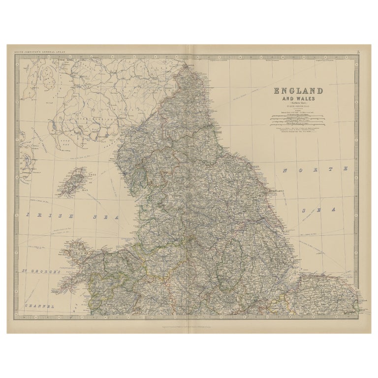
- Antique Folding Map of England and WalesLocated in Langweer, NLAntique map titled 'England and Wales'. Original folding map of England and Wales. Publishes by A. & C. Black, circa 1890.Category
Antique Late 19th Century Maps
MaterialsPaper
- Antique Map of England and Wales by Johnson '1872'Located in Langweer, NLAntique map titled 'Johnson's England and Wales'. Original map of England and Wales. This map originates from 'Johnson's New Illustrated Family Atlas of the World' by A.J. Johnson. P...Category
Antique Late 19th Century Maps
MaterialsPaper


You May Also Like
- Old Horizontal Map of EnglandBy TassoLocated in Alessandria, PiemonteST/520 - Old rare Italian map of England, dated 1826-1827 - by Girolamo Tasso, editor in Venise, for the atlas of M.r Le-Sage.Category
Antique Early 19th Century Italian Other Prints
MaterialsPaper
 $236 Sale Price20% Off
 - Map North Wales Robert Marsden AngleseyLocated in BUNGAY, SUFFOLKMap of North Wales by Robert Marsden Including Anglesey Charming topography and detail and colouring just purchased more information to follow.Category
Antique 18th Century English Georgian Maps
MaterialsPaper
- Large Scale Antique Scroll Map of Lincolnshire, England, Dated 1778Located in St Annes, LancashireWonderful scroll map of Lincolnshire By Captain Armstrong, 1778 Copper plate engraving on paper laid on canvas Original ebonized wood frame with lo...Category
Antique 1770s English Georgian Maps
MaterialsWood, Paper

- Large Original Antique Folding Map of Manchester, England, Dated 1793Located in St Annes, LancashireSuperb map of Manchester and Salford Folding map. Printed on paper laid on to the original canvas Unframed. Published by C. Laurent, 1793. ...Category
Antique 1790s English Georgian Maps
MaterialsCanvas, Paper
- 17th Century Hand-Colored Map of Southeastern England by Mercator and HondiusBy Gerard MercatorLocated in Alamo, CAA 17th century copperplate hand-colored map entitled "The Sixt Table of England" by Gerard Mercator and Jodocus Hondius, published in Amsterdam in 1635 in 'Cosmographicall Descriptio...Category
Antique Mid-17th Century Dutch Maps
MaterialsPaper
- 1861 Topographical Map of the District of Columbia, by Boschke, Antique MapLocated in Colorado Springs, COPresented is an original map of Albert Boschke's extremely sought-after "Topographical Map of the District of Columbia Surveyed in the Years 1856 ...Category
Antique 1860s American Historical Memorabilia
MaterialsPaper


Recently Viewed
View AllMore Ways To Browse
Bonne Map
Bag With Map
Antique Maps Ireland
New Zealand Map
Antique Ireland Map
Antique Irish Map
South Pole
Antique Ireland Maps
Antique Irish Maps
Antique Map Ireland
Antique Map Of Ireland
Antique Maps Of Ireland
George Fleet
Antique Railroad Maps
Map Of New Zealand
Antique Map Art Collectibles
Antique Maps Art Collectibles
James Cook Map