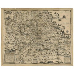
Antique Map of Ethiopia 'Africa' by H. Ludolf, 1683
View Similar Items


Want more images or videos?
Request additional images or videos from the seller
1 of 6
Antique Map of Ethiopia 'Africa' by H. Ludolf, 1683
About the Item
- Dimensions:Height: 18.12 in (46 cm)Width: 22.45 in (57 cm)Depth: 0.02 in (0.5 mm)
- Materials and Techniques:
- Period:Late 17th Century
- Date of Manufacture:1683
- Condition:Wear consistent with age and use. Please study images carefully.
- Seller Location:Langweer, NL
- Reference Number:Seller: BG-008151stDibs: LU305438972151
About the Seller
5.0
Platinum Seller
These expertly vetted sellers are 1stDibs' most experienced sellers and are rated highest by our customers.
Established in 2009
1stDibs seller since 2017
1,956 sales on 1stDibs
More From This SellerView All
- Antique Map of Japan by A.M. Mallet, 1683Located in Langweer, NLA charming late 17th century French map with a very decorative title cartouche showing trumpet-blowing cherubs, by Allain Manneson Mallet (1630-1706), a well traveled military engine...Category
Antique Late 17th Century Maps
MaterialsPaper
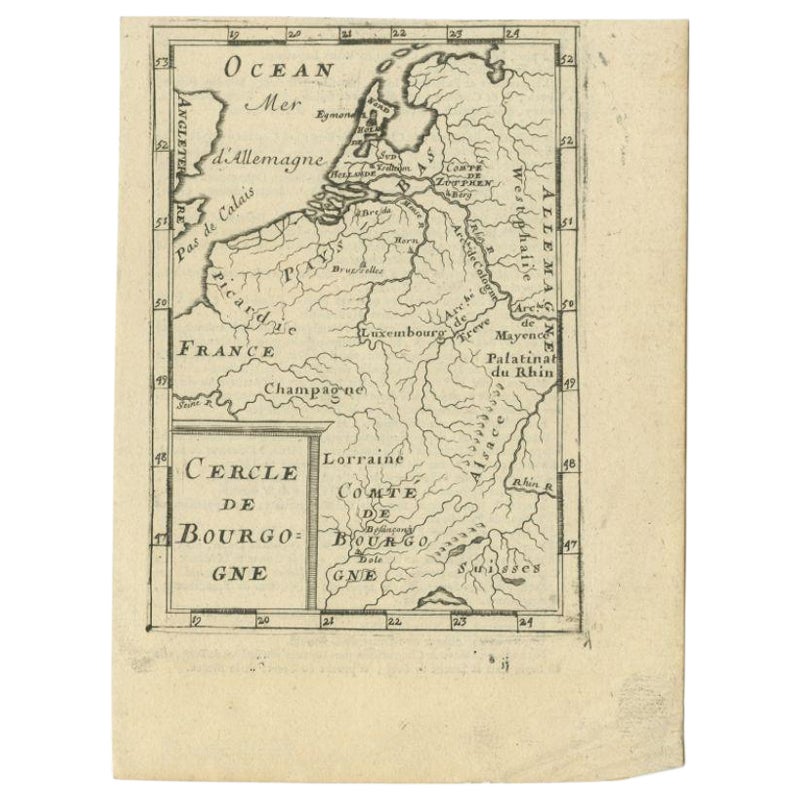
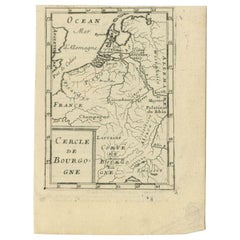
- Antique Map of the Burgundy Region by Mallet, c.1683Located in Langweer, NLAntique map titled 'Cercle de Bourgogne'. Detailed miniature map of the Burgundy region, France. Also shows the Netherlands and Belgium. Originates from Mallet's 'Description de l'Un...Category
Antique 17th Century Maps
MaterialsPaper
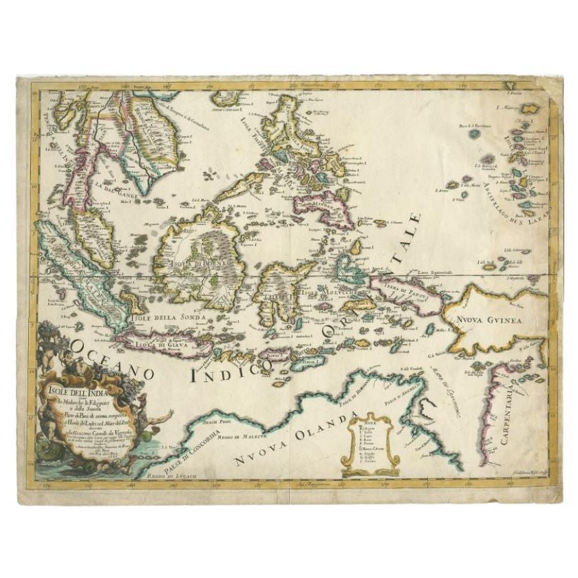
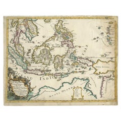
- Antique Map of the East Indies by Rossi, 1683Located in Langweer, NLAntique map titled 'Isole Dell'India cioe le Molucche la Filippine e della Sonda Parte de Paesi di nuova scoperta e l'Isole de Ladri ne Mare del Zud (..)'. Decorative map of Southeas...Category
Antique 17th Century Maps
MaterialsPaper
 $1,607 Sale Price25% Off
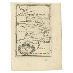
 - Detailed Antique Miniature Map of France by Mallet, c.1683Located in Langweer, NLAntique map titled 'France en General'. BG-11796-55. Originates from Mallet's 'Description de l'Univers'. Artists and Engravers: Alain Manneson Mallet (1630-1706) spent the first ...Category
Antique 17th Century Maps
MaterialsPaper
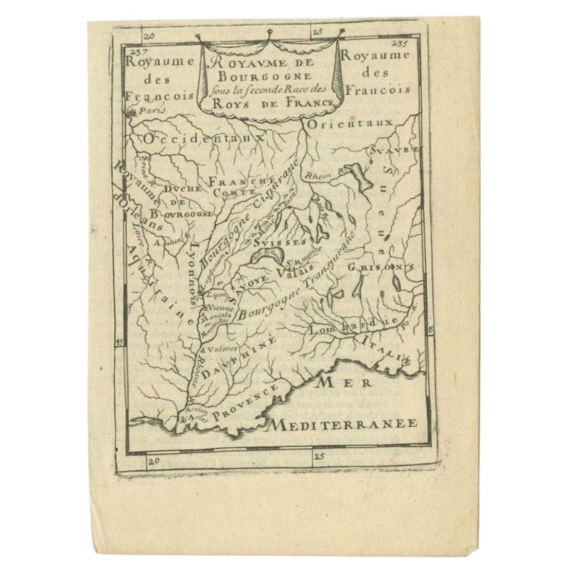
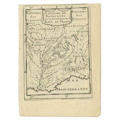
- Antique Map of the Burgundy Region by Mallet, c.1683Located in Langweer, NLAntique map titled 'Royaume de Bourgogne sous la seconde Race des Roys de France'. Detailed miniature map of the Burgundy region, France. Originates from Mallet's 'Description de l'U...Category
Antique 17th Century Maps
MaterialsPaper
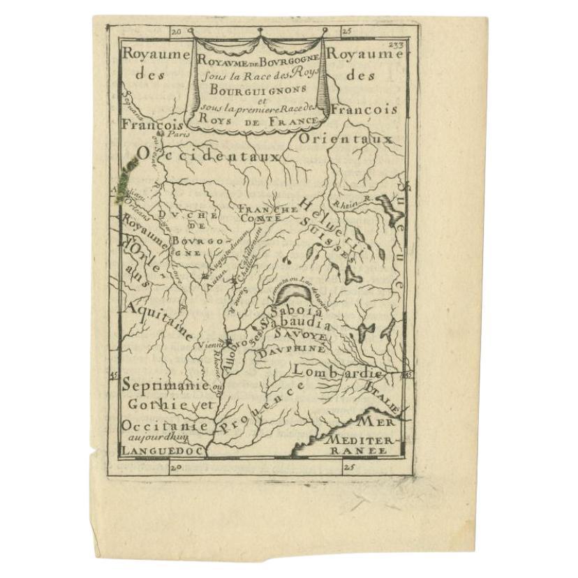
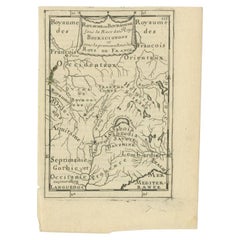
- Antique Map of the Burgundy Region by Mallet, c.1683Located in Langweer, NLAntique map titled 'Royaume de Bourgogne sous la Race des Roys Bourguignons (..)'. Detailed miniature map of the Burgundy region, France. Originates from Mallet's 'Description de l'U...Category
Antique 17th Century Maps
MaterialsPaper
You May Also Like
- Original Antique Map of South Africa, Arrowsmith, 1820Located in St Annes, LancashireGreat map of South Africa. Drawn under the direction of Arrowsmith. Copper-plate engraving. Published by Longman, Hurst, Rees, Orme and Br...Category
Antique 1820s English Maps
MaterialsPaper
- London 1744 Published Watercolour Antique Map of East Africa by Eman BowenLocated in GBWe are delighted to offer for sale this New and Accurate Map of Nubia & Abissinia, together with all the Kingdoms Tributary Thereto, and bordering upon them published in 1744 by Emanuel Bowen This is a decorative antique engraved map of East Africa...Category
Antique 1740s English George III Maps
MaterialsPaper
- Large University Chart “Physical Map of Africa” by BaconLocated in Chillerton, Isle of WightLarge university chart “Physical Map of Africa” by Bacon W&A K Johnston’s Charts of Physical Maps By G W Bacon, This is colorful Physical map of North America, it is large lithograph set...Category
Early 20th Century Folk Art Posters
MaterialsLinen
- 1907 Map of Colorado, Antique Topographical Map, by Louis NellLocated in Colorado Springs, COThis highly detailed pocket map is a topographical map of the state of Colorado by Louis Nell from 1907. The map "has been complied from all availabl...Category
Antique Early 1900s American Maps
MaterialsPaper
- Antique Lithography Map, West Africa, English, Framed, Cartography, VictorianLocated in Hele, Devon, GBThis is an antique lithography map of Western Africa. An English, framed atlas engraving of cartographic interest by John Rapkin, dating to the early Victorian period and later, circ...Category
Antique Mid-19th Century British Early Victorian Maps
MaterialsWood
- 1861 Topographical Map of the District of Columbia, by Boschke, Antique MapLocated in Colorado Springs, COPresented is an original map of Albert Boschke's extremely sought-after "Topographical Map of the District of Columbia Surveyed in the Years 1856 ...Category
Antique 1860s American Historical Memorabilia
MaterialsPaper


Recently Viewed
View AllMore Ways To Browse
Antique Maps Oxford
Antique Orthodox
17th Century Manuscript
Orthodox Christian
Ethiopia Antique Map
Bag With Map
Bonne Map
Antique Map Ireland
Antique Map Of Ireland
Antique Maps Of Ireland
George Fleet
Antique Irish Maps
Antique Ireland Map
Antique Irish Map
South Pole
New Zealand Map
Antique Maps Ireland
Antique Ireland Maps