Items Similar to The Divided Realms of Syria - North and South as Seen in 1859 by W. G. Blackie


Want more images or videos?
Request additional images or videos from the seller
1 of 6
The Divided Realms of Syria - North and South as Seen in 1859 by W. G. Blackie
About the Item
The "Antique Map of Syria, North and South Division" by W. G. Blackie, dated 1859, is a significant historical cartographic work. This map, originating from the mid-19th century, provides a detailed depiction of Syria, divided into its northern and southern regions, as understood during that time.
Key features and characteristics of this map include:
1. **Geographical Detail**: The map presents a comprehensive view of the topographical features of Syria, including mountain ranges, rivers, valleys, and coastal areas. It meticulously outlines the physical landscape of both the northern and southern divisions of the region.
2. **Political Boundaries**: Given the historical period, the map likely delineates the administrative and political boundaries as they were recognized in 1859. This provides a fascinating insight into the historical territorial demarcations in Syria before the significant geopolitical changes of the 20th century.
3. **Cities and Settlements**: Major cities, towns, and possibly even smaller villages and settlements of the time are marked. This aspect of the map offers a glimpse into the urban distribution and important centers in 19th-century Syria.
4. **Historical and Cultural Annotations**: The map may contain annotations or legends that provide additional information on significant historical or cultural sites, trade routes, and other notable features of the region.
5. **Artistic Elements**: Typical of the period, the map likely includes artistic flourishes such as decorative borders, elaborate title design, and possibly even vignettes or illustrations that add to its aesthetic appeal.
6. **Educational Value**: As a historical document, this map serves as an educational tool for understanding the geography of Syria as perceived in the mid-19th century, making it invaluable for historians, geographers, and enthusiasts of Middle Eastern history.
This map, as a part of Blackie's cartographic works, reflects the high level of detail and accuracy that was achievable in the 19th century and stands as a testament to the cartographic skills of the era.
- Dimensions:Height: 14.57 in (37 cm)Width: 21.26 in (54 cm)Depth: 0.02 in (0.5 mm)
- Materials and Techniques:
- Period:
- Date of Manufacture:1859
- Condition:Wear consistent with age and use. General age-related toning. some foxing, Please study image carefully.
- Seller Location:Langweer, NL
- Reference Number:
About the Seller
5.0
Platinum Seller
These expertly vetted sellers are 1stDibs' most experienced sellers and are rated highest by our customers.
Established in 2009
1stDibs seller since 2017
1,932 sales on 1stDibs
Typical response time: <1 hour
- ShippingRetrieving quote...Ships From: Langweer, Netherlands
- Return PolicyA return for this item may be initiated within 14 days of delivery.
More From This SellerView All
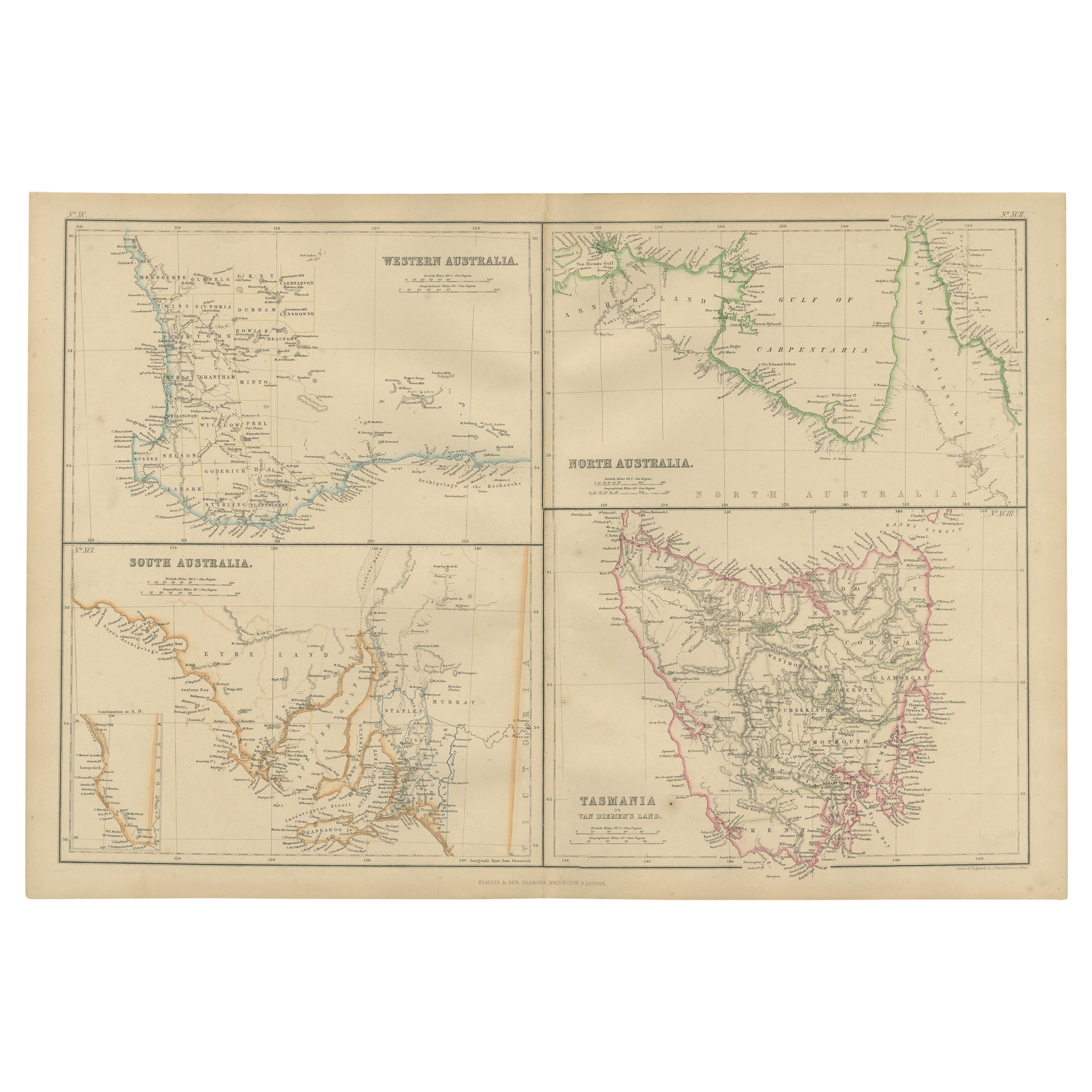
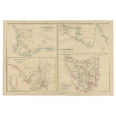
- Antique Map of West, South, North Australia and Tasmania by W. G. Blackie, 1859Located in Langweer, NLAntique map titled 'Western Australia, South Australia, North Australia and Tasmania'. Original antique map of Western Australia, South Australia, North Australia and Tasmania. This ...Category
Antique Mid-19th Century Maps
MaterialsPaper
- Antique Map of South America by W. G. Blackie, 1859Located in Langweer, NLAntique map titled 'South America'. Original antique map of South America. This map originates from ‘The Imperial Atlas of Modern Geography’. Published by W. G. Blackie, 1859.Category
Antique Mid-19th Century Maps
MaterialsPaper
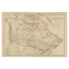
- Antique Map of British North America by W. G. Blackie, 1859Located in Langweer, NLAntique map titled 'British North America'. Original antique map of British North America. This map originates from ‘The Imperial Atlas of Mode...Category
Antique Mid-19th Century Maps
MaterialsPaper
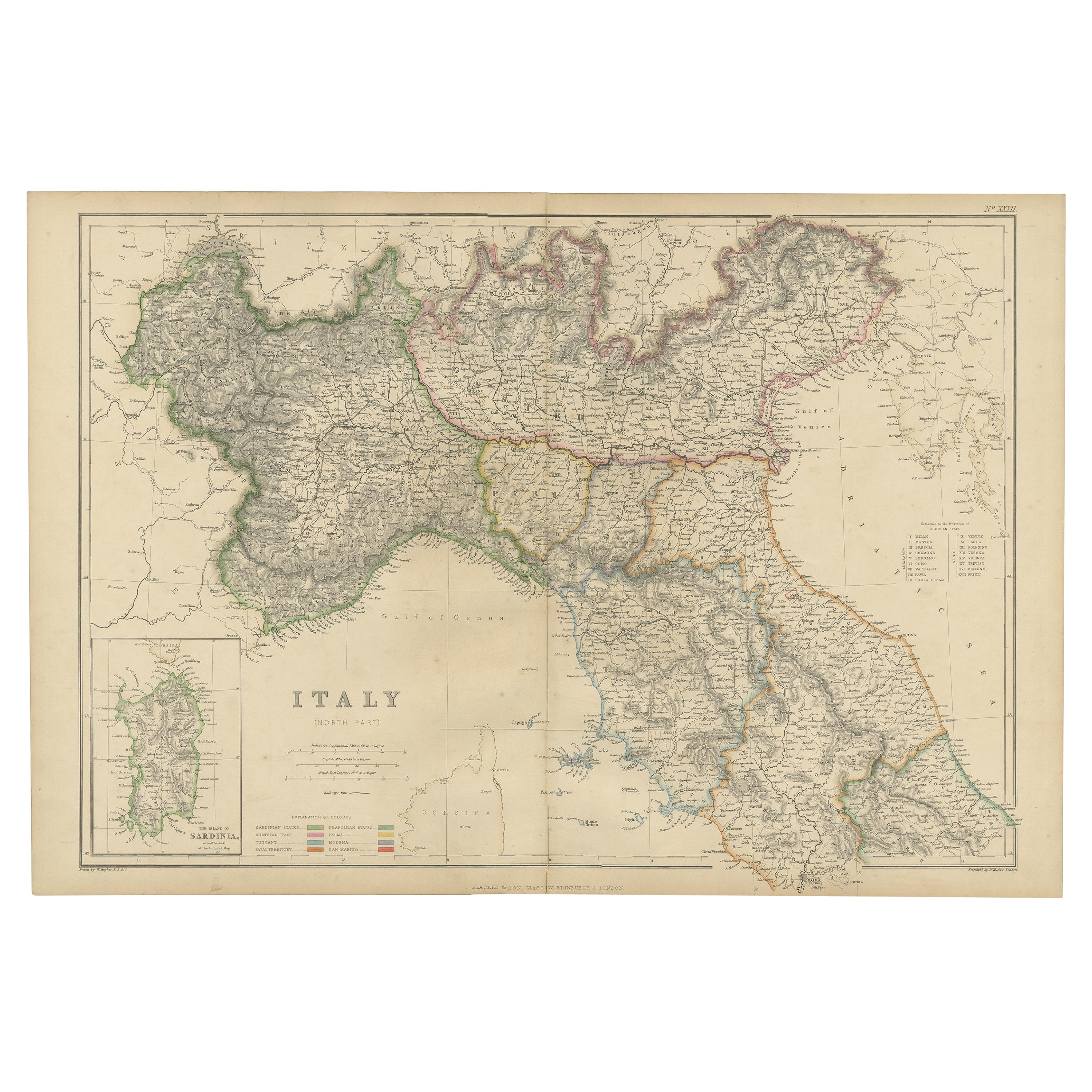
- Antique Map of Italy, North Part, by W. G. Blackie, 1859Located in Langweer, NLThe "Antique Map of Italy, North Part" by W. G. Blackie, dated 1859, is a historically significant cartographic piece, showcasing the northern region of Italy in the mid-19th century...Category
Antique Mid-19th Century Maps
MaterialsPaper
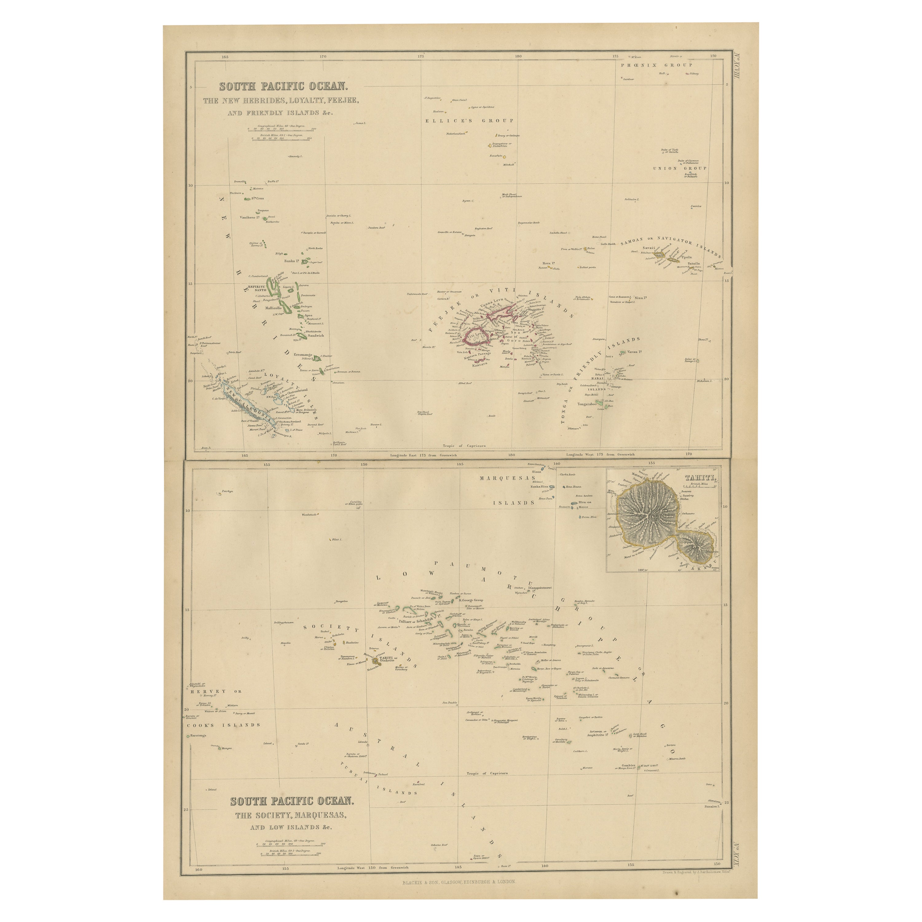
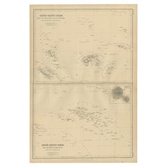
- Antique Map of South Pacific Ocean by W. G. Blackie, 1859Located in Langweer, NLAntique map titled 'South Pacific Ocean'. Original antique map of South Pacific Ocean with inset Map of Tahiti. This map originates from ‘The Imperial Atlas of Modern Geography’. Pub...Category
Antique Mid-19th Century Maps
MaterialsPaper
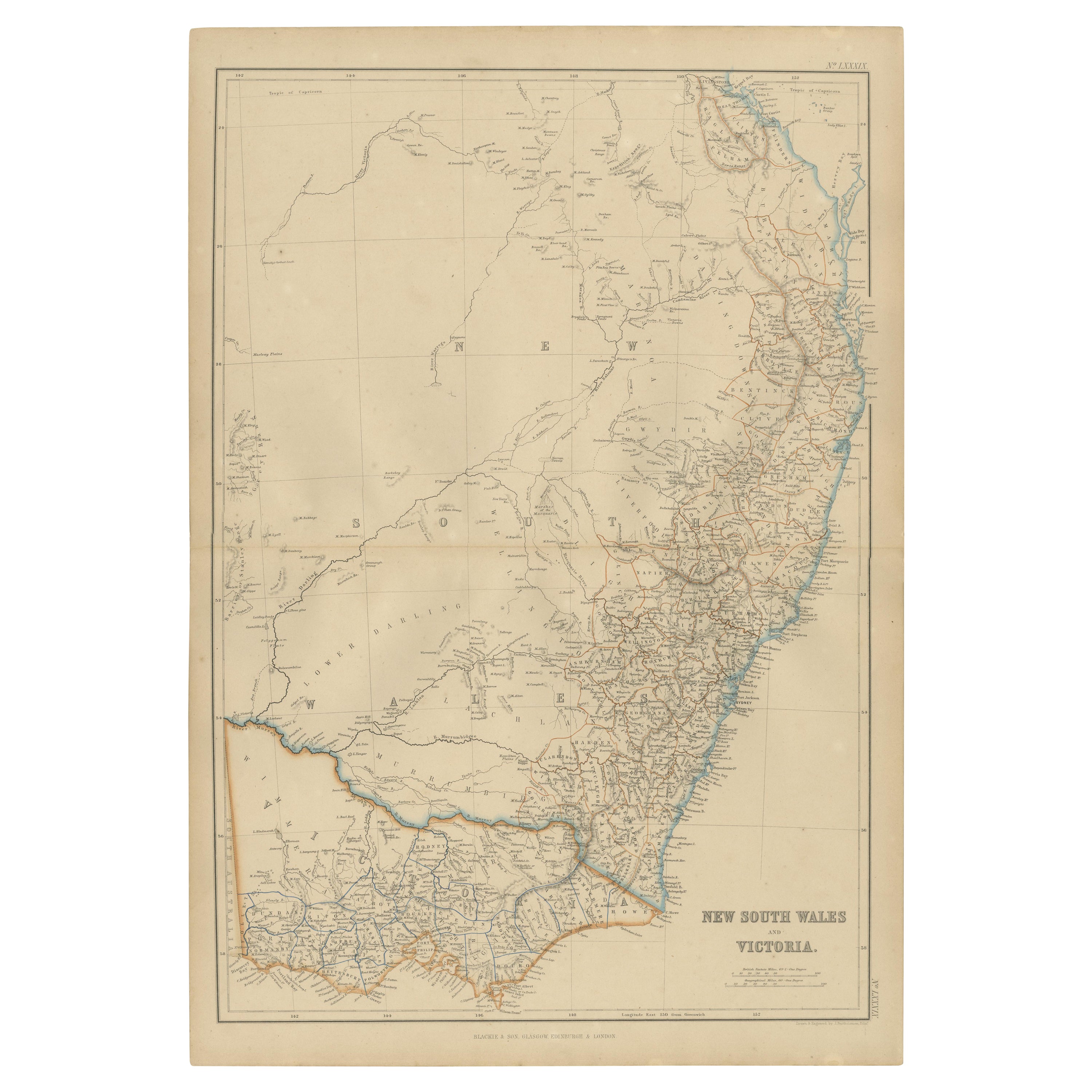
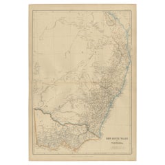
- Antique Map of New South Wales and Victoria by W. G. Blackie, 1859Located in Langweer, NLAntique map titled 'New South Wales and Victoria'. Original antique map of New South Wales and Victoria. This map originates from ‘The Imperial Atlas of Modern Geography’. Published ...Category
Antique Mid-19th Century Maps
MaterialsPaper


You May Also Like
- Large Antique 1859 Map of North AmericaLocated in Sag Harbor, NYThis Map was made by Augustus Mitchell in 1859 It is in amazing condition for being 163 years old. This price is for the rolled up easy to ship version of this piece. I will be Frami...Category
Antique Mid-19th Century American Maps
MaterialsCanvas, Paper

- North & South America: A 17th Century Hand-colored Map by Jansson & GoosBy Johannes JanssoniusLocated in Alamo, CAA 17th century hand-colored map of North & South America entitled "Americae Descriptio" by the cartographer Johannes Jansson, published in Jansson's Atlas Minor in Amsterdam in 1628....Category
Antique 1620s Dutch Maps
MaterialsPaper
- New Map of North America from the Latest Discoveries, 1763Located in Philadelphia, PAA fine antique 18th century map of the North American seaboard. Entitled "A New Map of North America from the Latest Discoveries 1763". By the Cartographer/Engraver - John Spil...Category
Antique Mid-18th Century English Georgian Maps
MaterialsPaper
- Original Antique Map of South America by Thomas Clerk, 1817Located in St Annes, LancashireGreat map of South America Copper-plate engraving Drawn and engraved by Thomas Clerk, Edinburgh. Published by Mackenzie And Dent, 1817 Unframed.Category
Antique 1810s English Maps
MaterialsPaper
- Original Antique Map of South East Asia by Thomas Clerk, 1817Located in St Annes, LancashireGreat map of South East Asia Copper-plate engraving Drawn and engraved by Thomas Clerk, Edinburgh. Published by Mackenzie And Dent, 1817 Unframed.Category
Antique 1810s English Maps
MaterialsPaper
- “The Restaurant of the House of Representatives” Engraving by Harper's WeeklyLocated in Colorado Springs, COThis original wood engraving is titled “The Restaurant of the House of Representatives, Washington, DC.” It was published as a double-page image, in the August 12, 1893 issue of the famous 19th century newspaper Harper’s Weekly. The print was illustrated by Charles Stanley Reinhardt. The House Restaurant, a unique part of life in the Capitol, has been in the same location since the 1857 Capitol Expansion. Congressional members’ busy work schedule made the availability of food on site a necessity. But the restaurant also served as an informal meeting spot for members to continue conversations and deal making. This 1893 print illustrates the convivial atmosphere. Details including elegantly dressed tables...Category
Antique 1890s American Prints
MaterialsPaper


Recently Viewed
View AllMore Ways To Browse
Antique Syrian
Antique Syrian Furniture
Syrian Antique Furniture
Antique Jerusalem
Palestine Antique
Map Of Palestine
Palestine Map
Antique Map Of Jerusalem
Map Of Jerusalem
Antique Maps Palestine
Antique Map Palestine
Map Of Jerusalem Antique
Map Of Syria
Antique Maps Of Islands
18th Russian
Antique Maps Of Holland
Antique Maps Of America
Antique Map Of America