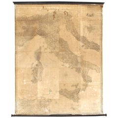
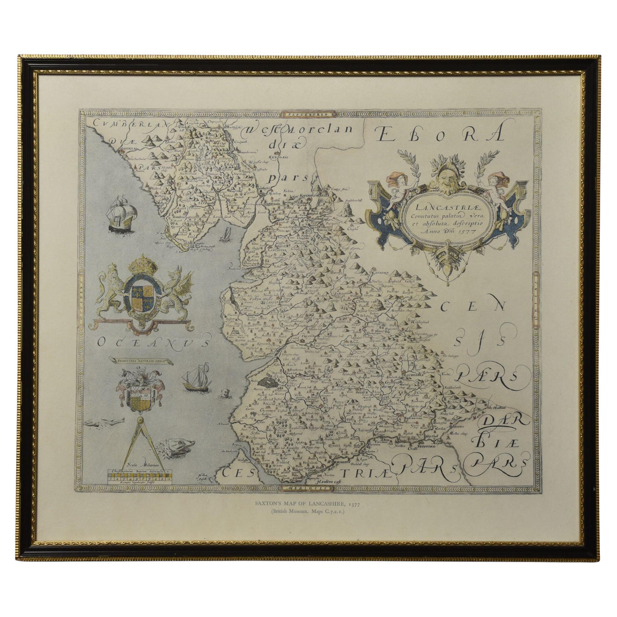
Early ‘900 map of ‘Gran Carta d’Italia’ by Stabilimento Giuseppe Civelli
View Similar Items
1 of 13
Early ‘900 map of ‘Gran Carta d’Italia’ by Stabilimento Giuseppe Civelli
About the Item
- Dimensions:Height: 102.37 in (260 cm)Width: 78.75 in (200 cm)Depth: 1.97 in (5 cm)
- Style:Mid-Century Modern (Of the Period)
- Materials and Techniques:
- Place of Origin:
- Period:1910-1919
- Date of Manufacture:1900
- Condition:Wear consistent with age and use.
- Seller Location:Savona, IT
- Reference Number:1stDibs: LU1850318133572
You May Also Like
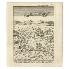
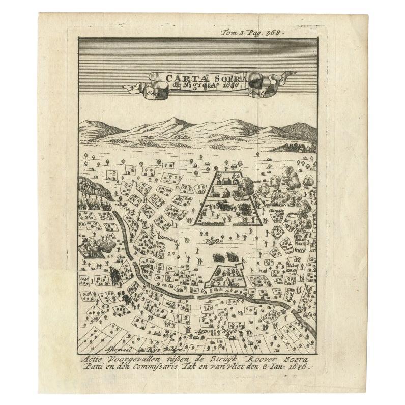
- Antique Map of Carta Soura, Headquarter of the Javanese Nobility, 1706Located in Langweer, NLAntique map titled 'Carta Soera de Nigrita'. Early map of the town of Carta Soura, also known as Kartosuro and Karta Soera de Nigrat, located in the interior of central Java, headqua...Category
Antique 18th Century Maps
MaterialsPaper
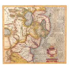
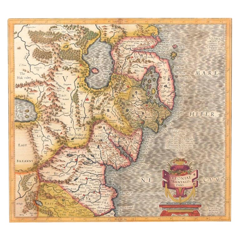
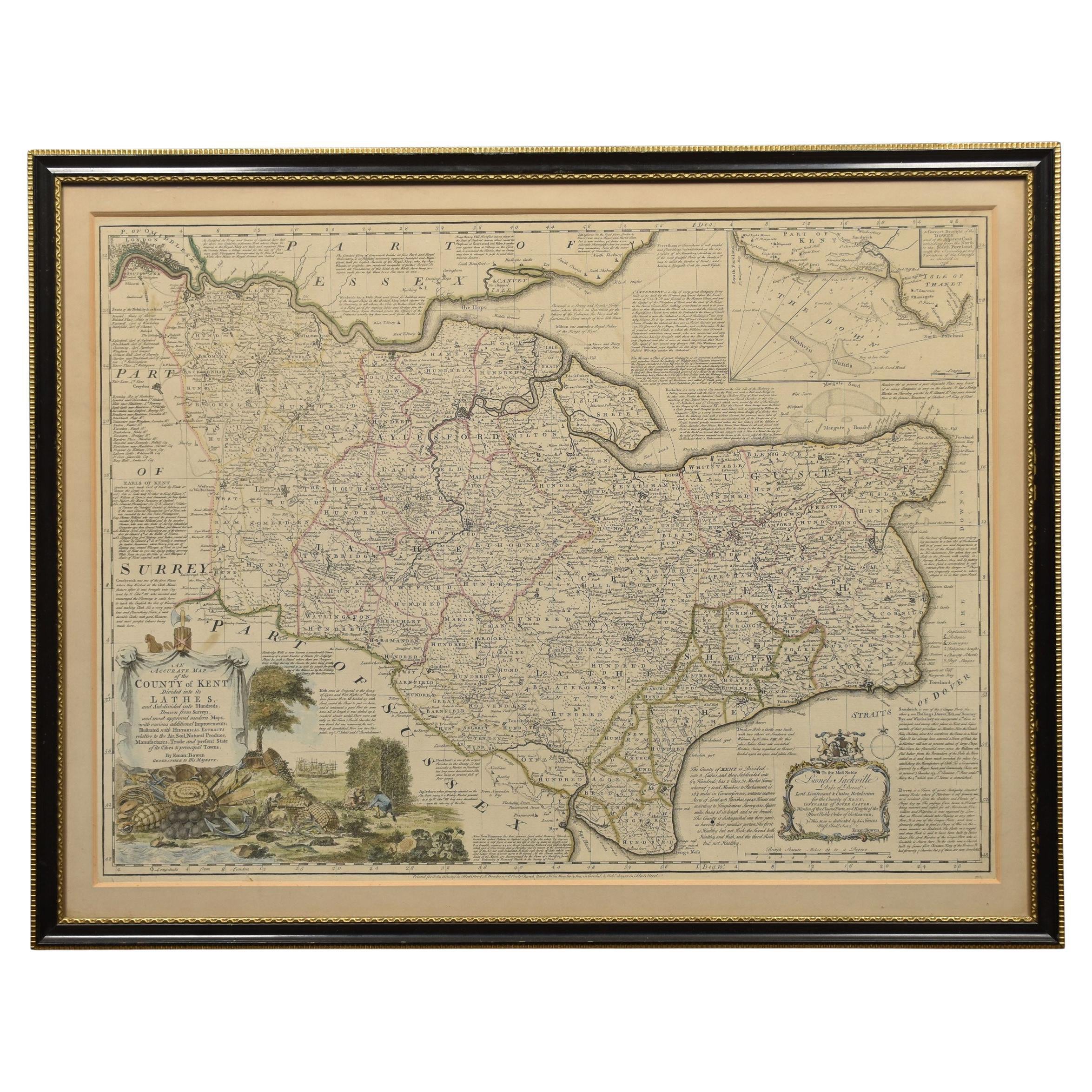
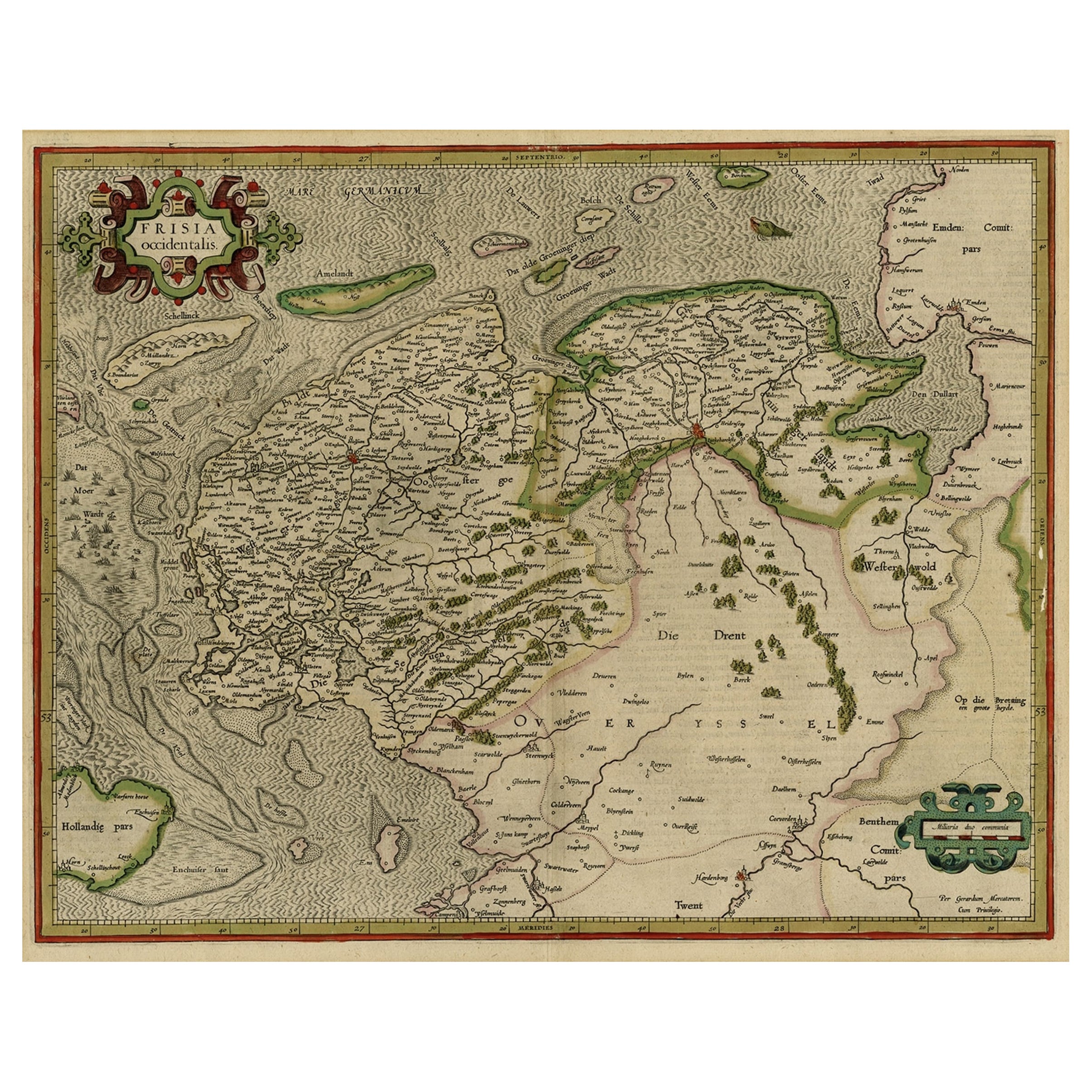
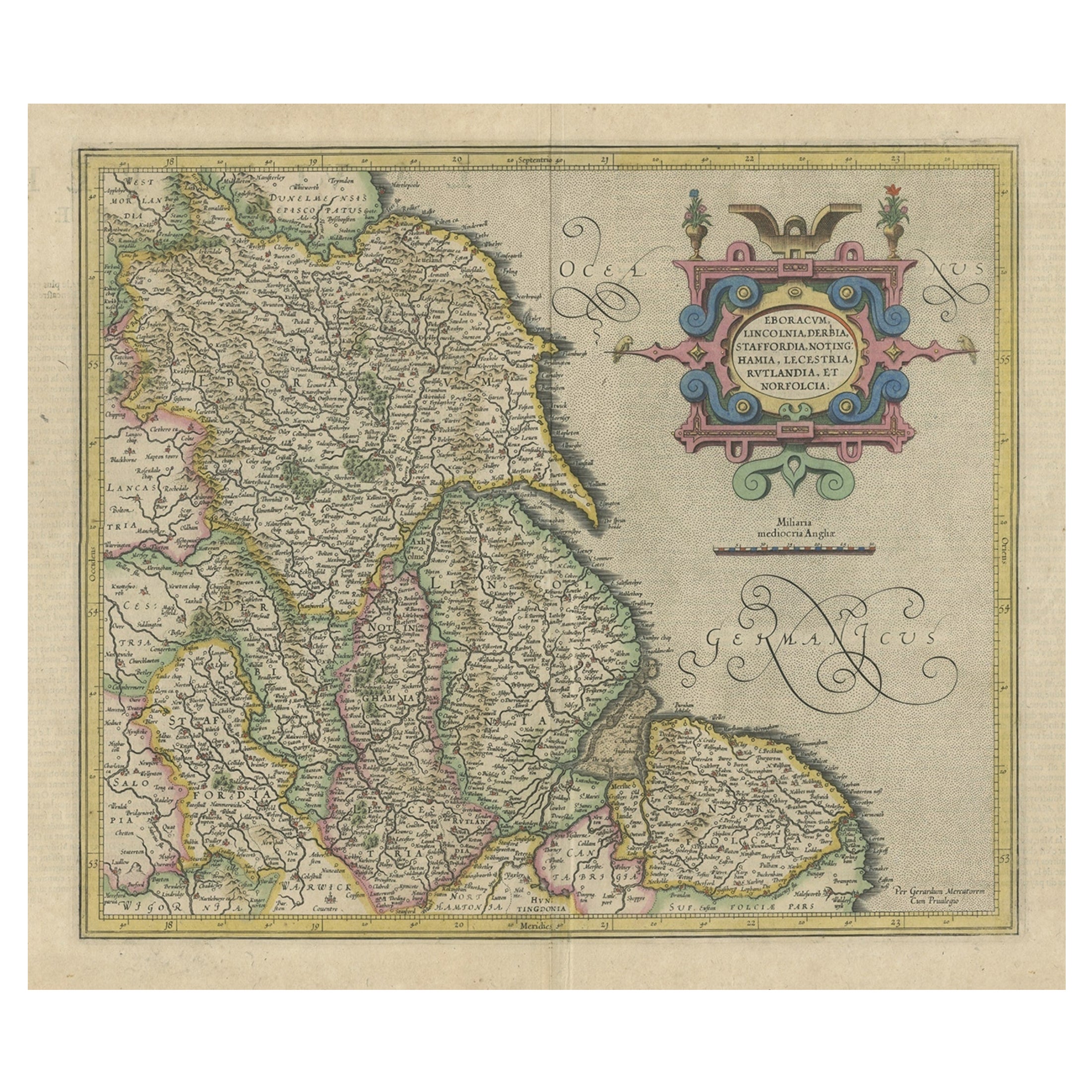
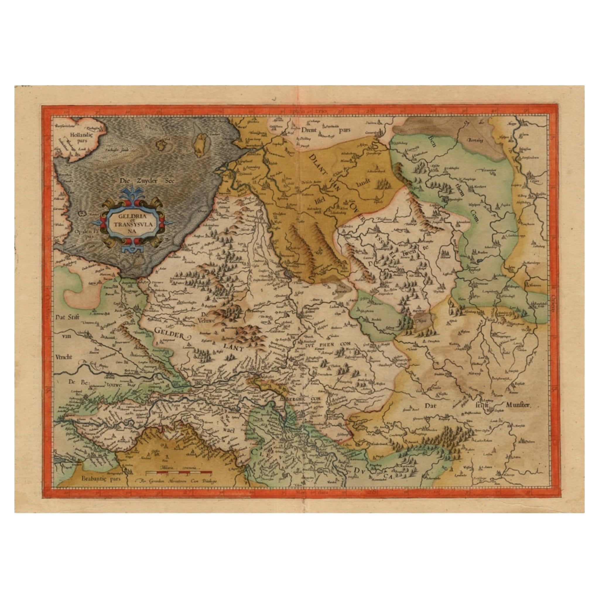
- Antique Map of Northern Ireland by Mercator/Hondius, Early 1600'sLocated in Langweer, NLAntique map titled 'Ultoniae Orientalis Pars'. Original antique map of Northern Ireland. Published by Mercator/Hondius, ca. 1600. Superb early map of the eastern part of Ulster, featuring Down and Antrim Counties in Northern Ireland. Mercator's famous moire pattern in the sea is used. Strong topographical features in the interior and ornamented with a title cartouche incorporating the distance scale. This was one of five Irish maps...Category
Antique 16th Century Maps
MaterialsPaper
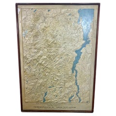
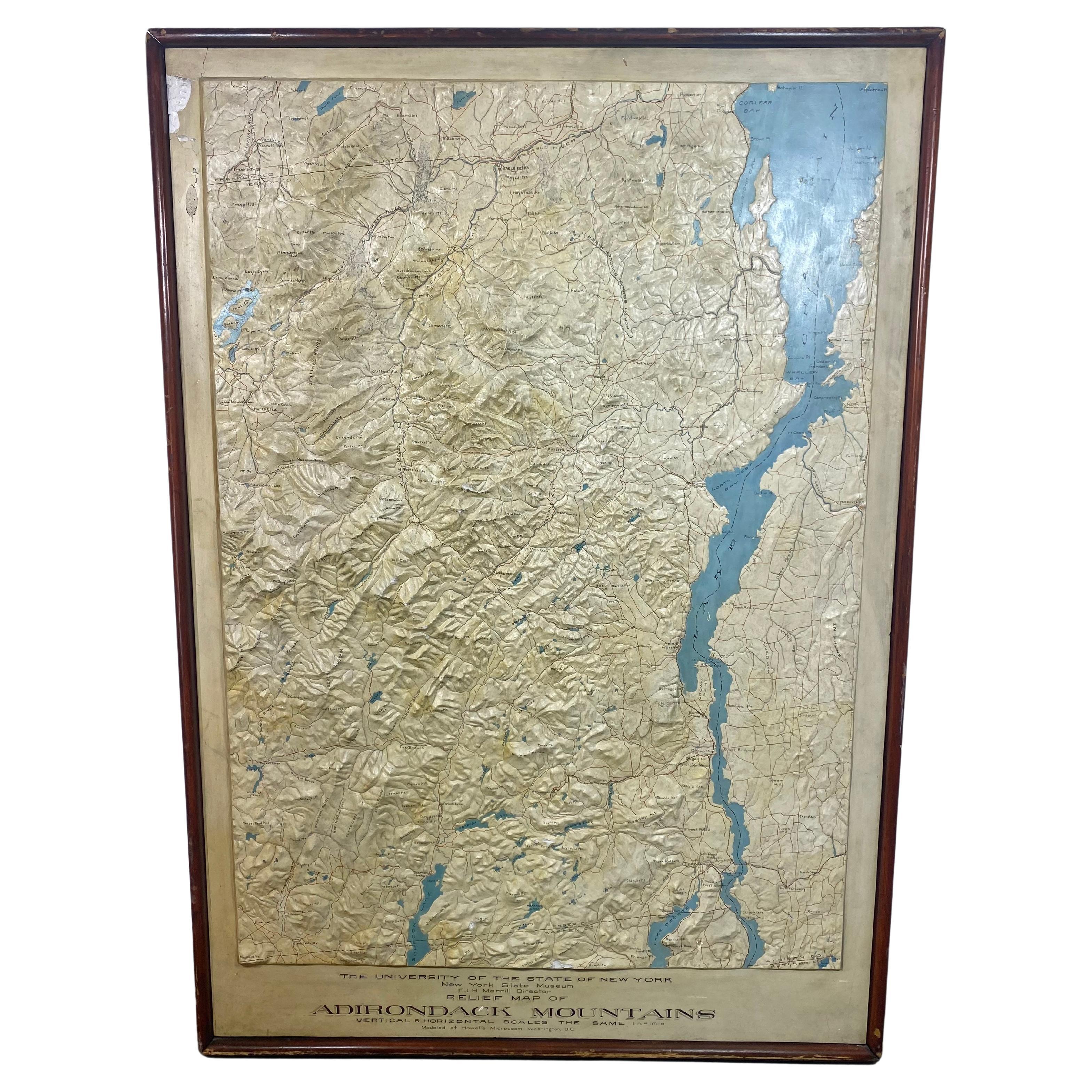
- Rare and Early Plaster Relief Map of Adirondack Mountains by F J H MerrillBy P.F. Howells, E. W. MerrillLocated in Buffalo, NYRare and Early Monumental Plaster Relief Map of Adirondack Mountains by The University of the State of New York, New York State Museum..F J H Merrill director,,,modeled by Howell's ...Category
Vintage 1910s American Industrial Maps
MaterialsPlaster, Wood
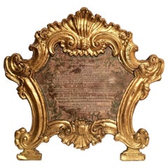
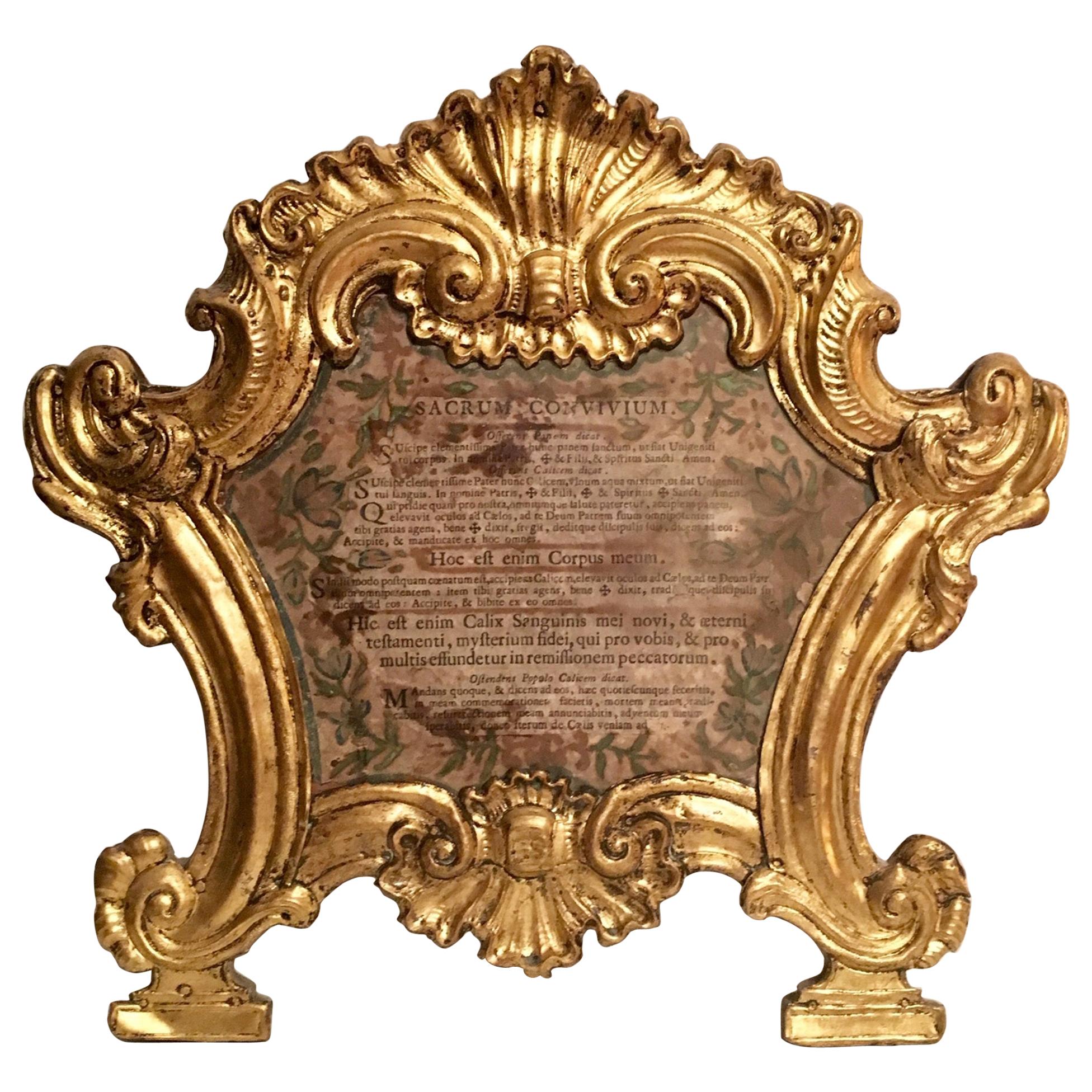
- 18th Century Carta GloriaLocated in Vero Beach, FLThis original 18th century frame is gilded over copper. It is elaborately embossed and chiseled. The cartouche is surrounded by rocaille and volute motifs. The Carta is mounted on a wood backing and rests on two linear bases. It is very rare to find the original altar glory prayer still present inside. It explains the part of the Mass being performed. This is an extremely special museum piece for any ecclesiastical collection. Measurements: W 14 ½” x H 14” x D 1” Weight: 1 lb 8 ozCategory
Antique 18th Century Italian Baroque Religious Items
MaterialsCopper
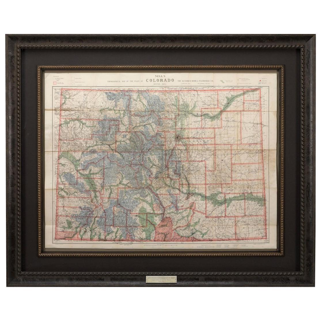
- 1907 Map of Colorado, Antique Topographical Map, by Louis NellLocated in Colorado Springs, COThis highly detailed pocket map is a topographical map of the state of Colorado by Louis Nell from 1907. The map "has been complied from all availabl...Category
Antique Early 1900s American Maps
MaterialsPaper
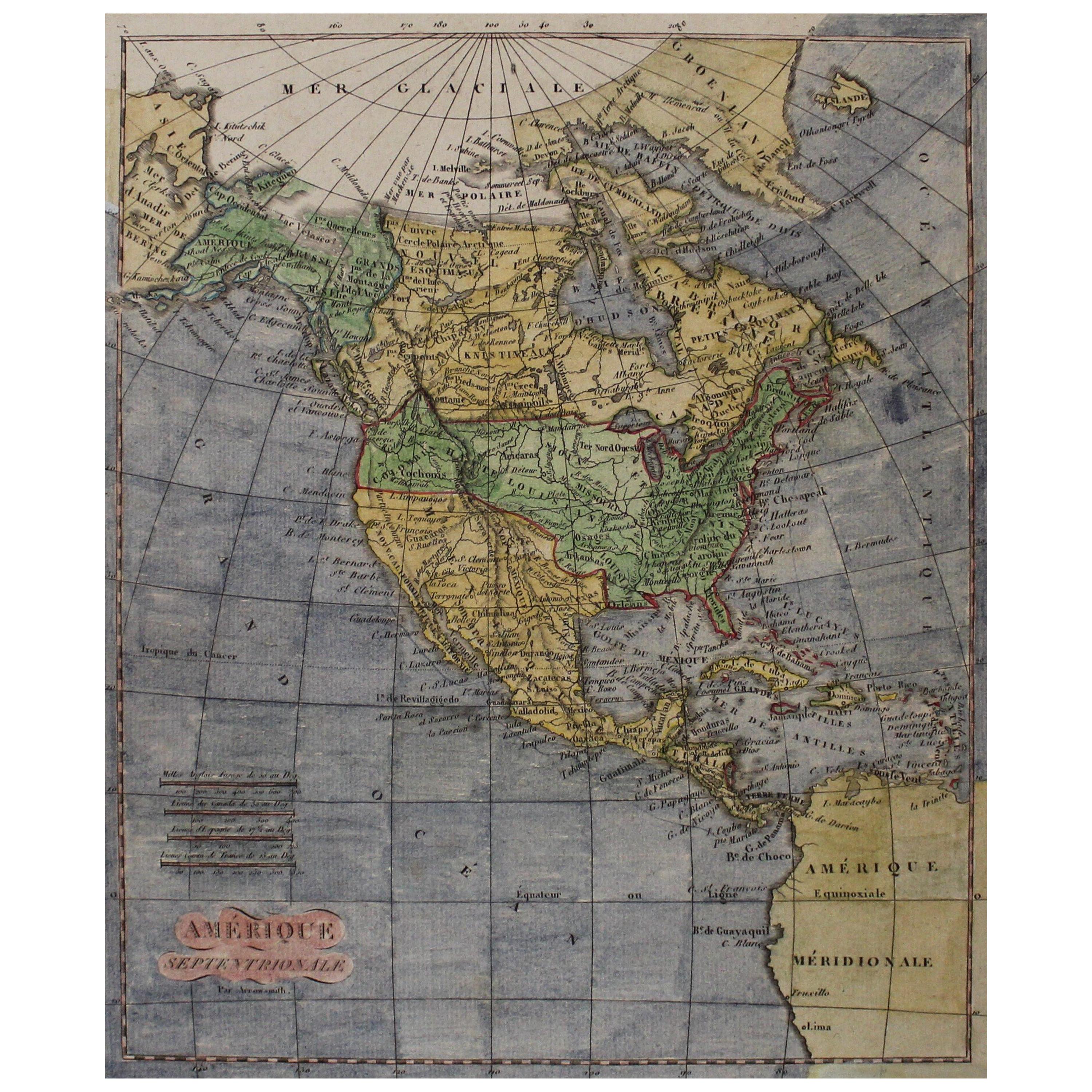
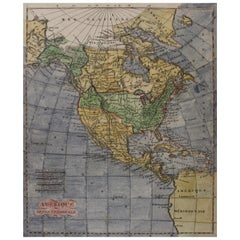
- Early 19th Century Hand Coloured Map of North America by Aaron ArrowsmithBy Aaron ArrowsmithLocated in Hamilton, OntarioHand coloured map in French by English cartographer Aaron Arrowsmith (1750–1823) titled "Amerique Septentionale" (North America). Map size: 9.5" x 8" Mat size: 20.5" x 14.25".Category
Antique Early 19th Century English Maps
MaterialsPaper
 $795 Sale Price36% Off