Items Similar to Four 18th Century Engraved and Hand-Colored Maps by Weigel


Want more images or videos?
Request additional images or videos from the seller
1 of 11
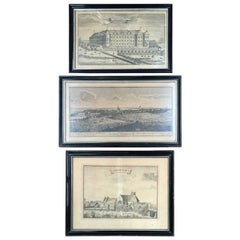
Four 18th Century Engraved and Hand-Colored Maps by Weigel
$450per item
£339.34per item
€392.47per item
CA$631.35per item
A$701.78per item
CHF 367.86per item
MX$8,570.46per item
NOK 4,592.51per item
SEK 4,320.69per item
DKK 2,929.27per item
Quantity
About the Item
Small collection of four engraved maps of Italy, Balkan and of Central Asia.
Two are of Italy, one Corsica and Northern Italy and the other of the Southern Italian boot.
All are hand-colored and framed in antique silver frames.
- Creator:Christoph Weigel (Artist)
- Dimensions:Height: 15.75 in (40 cm)Width: 18.12 in (46 cm)Depth: 0.79 in (2 cm)
- Materials and Techniques:
- Place of Origin:
- Period:
- Date of Manufacture:circa 1780
- Condition:Wear consistent with age and use. Maps without frames 32 cm high 40cm deep.
- Seller Location:Copenhagen, DK
- Reference Number:Seller: 322961stDibs: LU101368310813
About the Seller
4.9
Vetted Professional Seller
Every seller passes strict standards for authenticity and reliability
Established in 1949
1stDibs seller since 2013
140 sales on 1stDibs
- ShippingRetrieving quote...Shipping from: Haddonfield, NJ
- Return Policy
Authenticity Guarantee
In the unlikely event there’s an issue with an item’s authenticity, contact us within 1 year for a full refund. DetailsMoney-Back Guarantee
If your item is not as described, is damaged in transit, or does not arrive, contact us within 7 days for a full refund. Details24-Hour Cancellation
You have a 24-hour grace period in which to reconsider your purchase, with no questions asked.Vetted Professional Sellers
Our world-class sellers must adhere to strict standards for service and quality, maintaining the integrity of our listings.Price-Match Guarantee
If you find that a seller listed the same item for a lower price elsewhere, we’ll match it.Trusted Global Delivery
Our best-in-class carrier network provides specialized shipping options worldwide, including custom delivery.More From This Seller
View All17th Century Map of Denmark by French Cartographer Sanson, Dated 1658
By Nicolas Sanson
Located in Copenhagen, K
17th century map of Denmark by French cartographer Sanson.
Nicolas Sanson (20 December 1600-7 July 1667) was a French cartographer, termed by some the creator of French geography an...
Category
Antique 17th Century French Maps
Materials
Paper

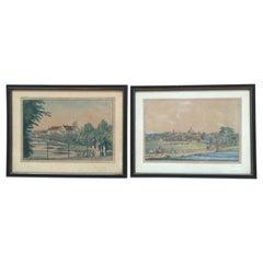
Engravings of Landscape and Estates of Herlufsholm, Gavnø and Næstved
Located in Copenhagen, K
18th century engravings of landscape and Estates of Herlufsholm, Gavnø and Næstved.
Category
Antique 18th Century Danish Prints
Materials
Paper
19th Century Engravings of Landscape and Estate of Herlufsholm and Naestved
Located in Copenhagen, K
The two 19th century engravings of the town of Naestved and Estate of Herlufsholm are hand-colored and dated circa 1820s.
The engravings are made by Heinrich Gustav Ferdinand Holm, ...
Category
Antique Early 19th Century Danish Prints
Materials
Paper
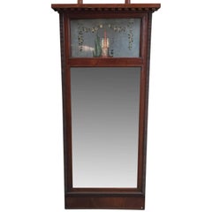
Danish 18th Century Empire Mirror
Located in Copenhagen, K
Elegant Empire mirror with hand-painted flowers and statue in the upper glass part.
Category
Antique 18th Century Danish Empire Wall Mirrors
Materials
Glass, Wood
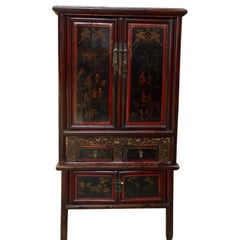
Early 20th Century Chinese Cabinet
Located in Copenhagen, K
Beautiful Chinese cabinet in mainly black and red lacquer with red decorations. Contains several shelves and four drawers, all with original brass hardware.
Category
Antique Early 1900s Chinese Chinoiserie Cabinets
Materials
Wood
$3,880 Sale Price
20% Off
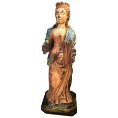
Early 17th Century Sculpture
Located in Copenhagen, K
Amazing Baroque sculpture of a woman wearing a crown in original paint. Her hands are missing. Colors are untouched, recently cleaned off from a thick dark coating, I have images fro...
Category
Antique Early 17th Century French Baroque Figurative Sculptures
Materials
Oak
You May Also Like
Antique Map of Asia 'in Frame, circa 1739'
Located in Langweer, NL
Antique map titled 'Asia Dividida em suas Regioens & Principaes Estados'. Rare and uncommon map of Asia. Signed '1739'. Source unknown, to be determined.
...
Category
Antique Mid-18th Century Maps
Materials
Paper

$620 Sale Price
35% Off
Vintage Reproduction 17th Century Map of Europe, American, Cartography, Blaeuw
Located in Hele, Devon, GB
This is a vintage reproduction map of Europe. An American, paper stock cartography print in frame after the work by Blaeuw, dating to the late 20t...
Category
Late 20th Century Central American Mid-Century Modern Maps
Materials
Glass, Wood, Paper

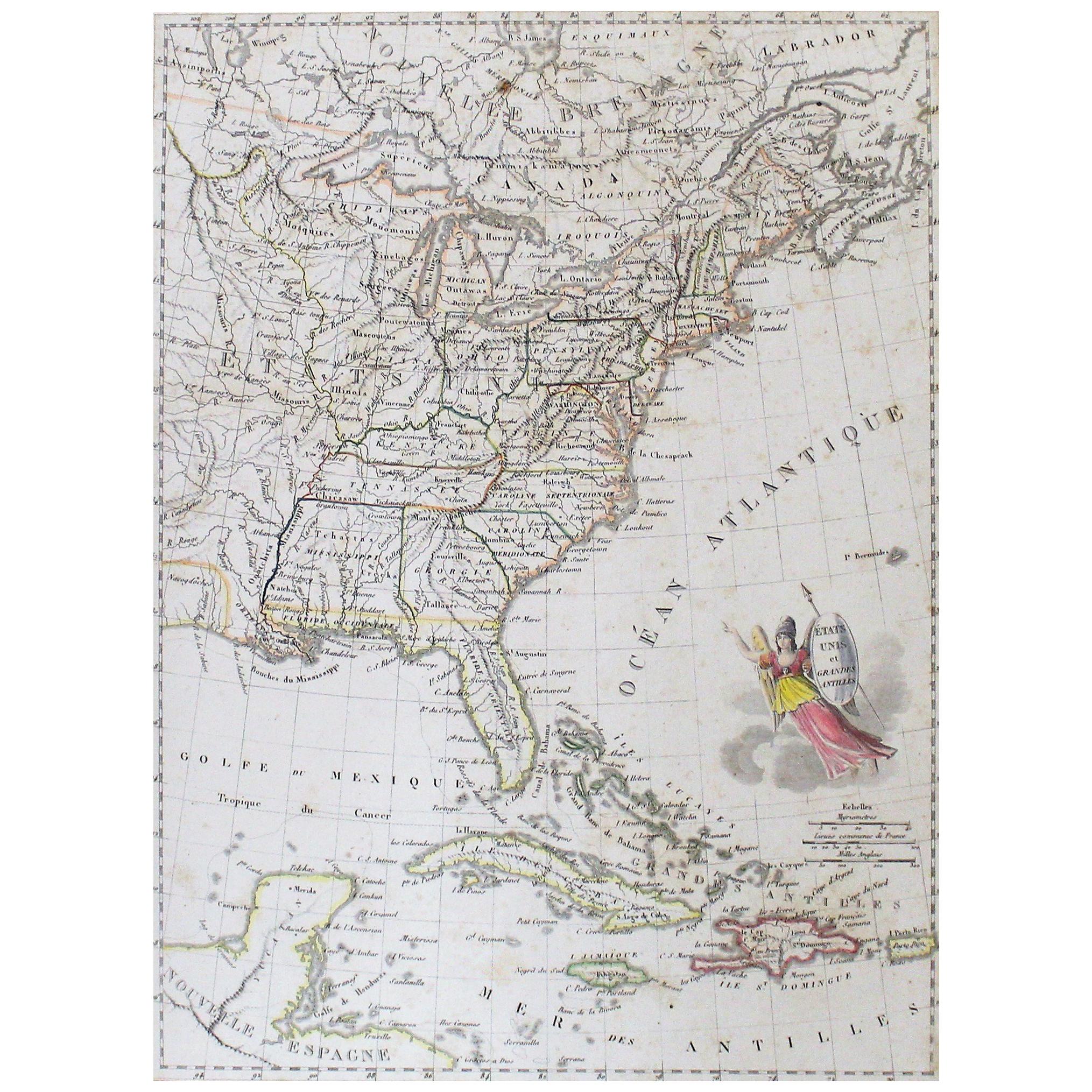
Early 19th Century Hand Colored Map of the United States and Caribbean Islands
Located in Hamilton, Ontario
Hand coloured early 19th century map by Giraldon of France titled "Etats Unis et Grandes Antilles" (United States and Greater Antilles).
Category
Antique Early 19th Century French Maps
Materials
Paper

$595 Sale Price
40% Off
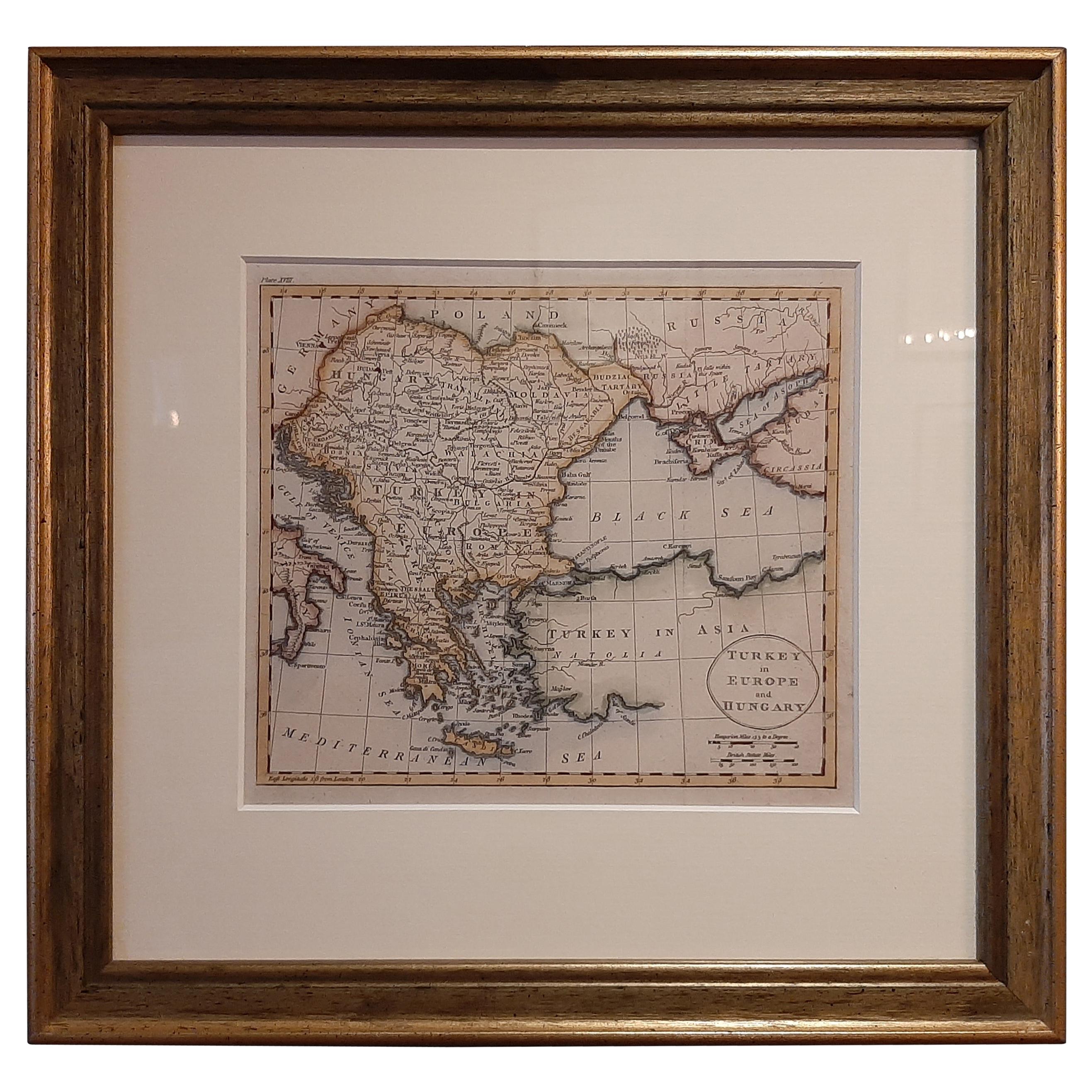
Antique Map of Turkey in Europe by Russell, circa 1795
Located in Langweer, NL
Antique map titled 'Turkey in Europe and Hungary'. Original map of Turkey in Europe. Covers present day Northern Turkey, Greece, Albania, Romania, Hungary, Croatia, Bosnia Herzogovin...
Category
Antique Late 18th Century Maps
Materials
Paper
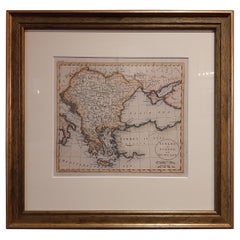
$334 Sale Price
20% Off
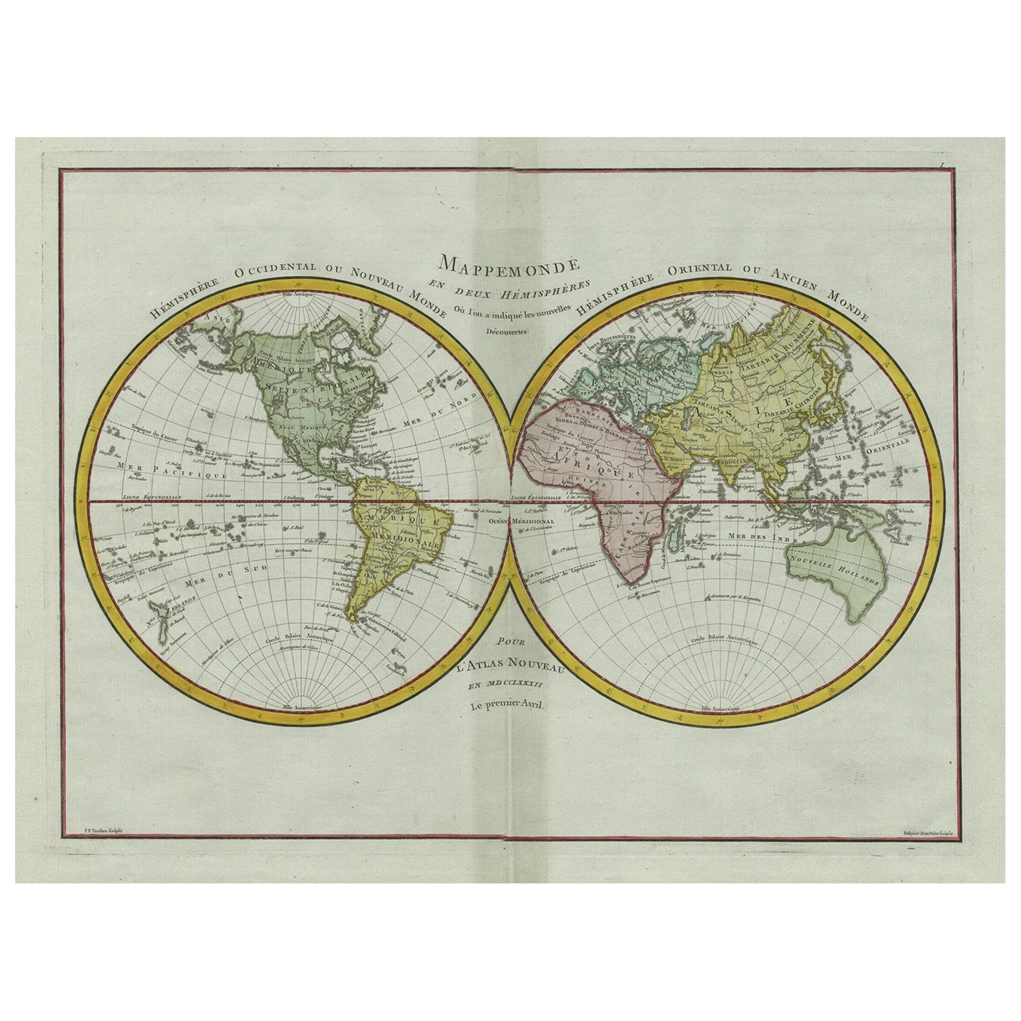
Original Engraved Antique Map of the World, Colorful and Decorative, C.1780
By Pierre François Tardieu
Located in Langweer, NL
Antique map titled 'Mappemonde en Deux Hemispheres ou l'on a Indique les Nouvelles Decouvertes' - This handsome double hemisphere map presents a ...
Category
Antique 18th Century Maps
Materials
Paper

$448 Sale Price
20% Off
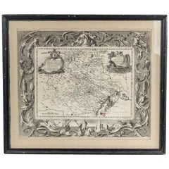
Italian Neo-Classic Map of Italy
Located in Queens, NY
Italian Neo-classic style framed print of map of Italy
Category
20th Century Italian Neoclassical Paintings
Materials
Paper
More Ways To Browse
Gold Modern Coffee Table
Large Side Tables
Japanese Silver Ceramics
One Of A Kind Chair
Used Oak Dining Room Chairs
17th Century Plate
Childrens Vintage Poster
Chinese Ship
Vintage Travel Poster Mid Century
Desk Key
Woven Silk Art
Carved Cabriole Table
Dark Antique Table
White Wooden Table
Antique Wall Table
1960 Chair Wood Danish
Unusual Dining Table
Antique Dutch Plates