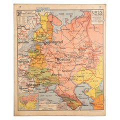
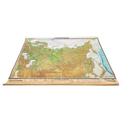
French School Map of Soviet Union and Finland, 1940s
View Similar Items


1 of 20
French School Map of Soviet Union and Finland, 1940s
About the Item
- Dimensions:Height: 46.75 in (118.75 cm)Width: 38.5 in (97.79 cm)Depth: 0.25 in (6.35 mm)
- Materials and Techniques:
- Place of Origin:
- Period:
- Date of Manufacture:circa 1940s
- Condition:Wear consistent with age and use. Some age and water spots. Map cannot be rolled for transport.
- Seller Location:Austin, TX
- Reference Number:Seller: T1161stDibs: LU869016427071
You May Also Like
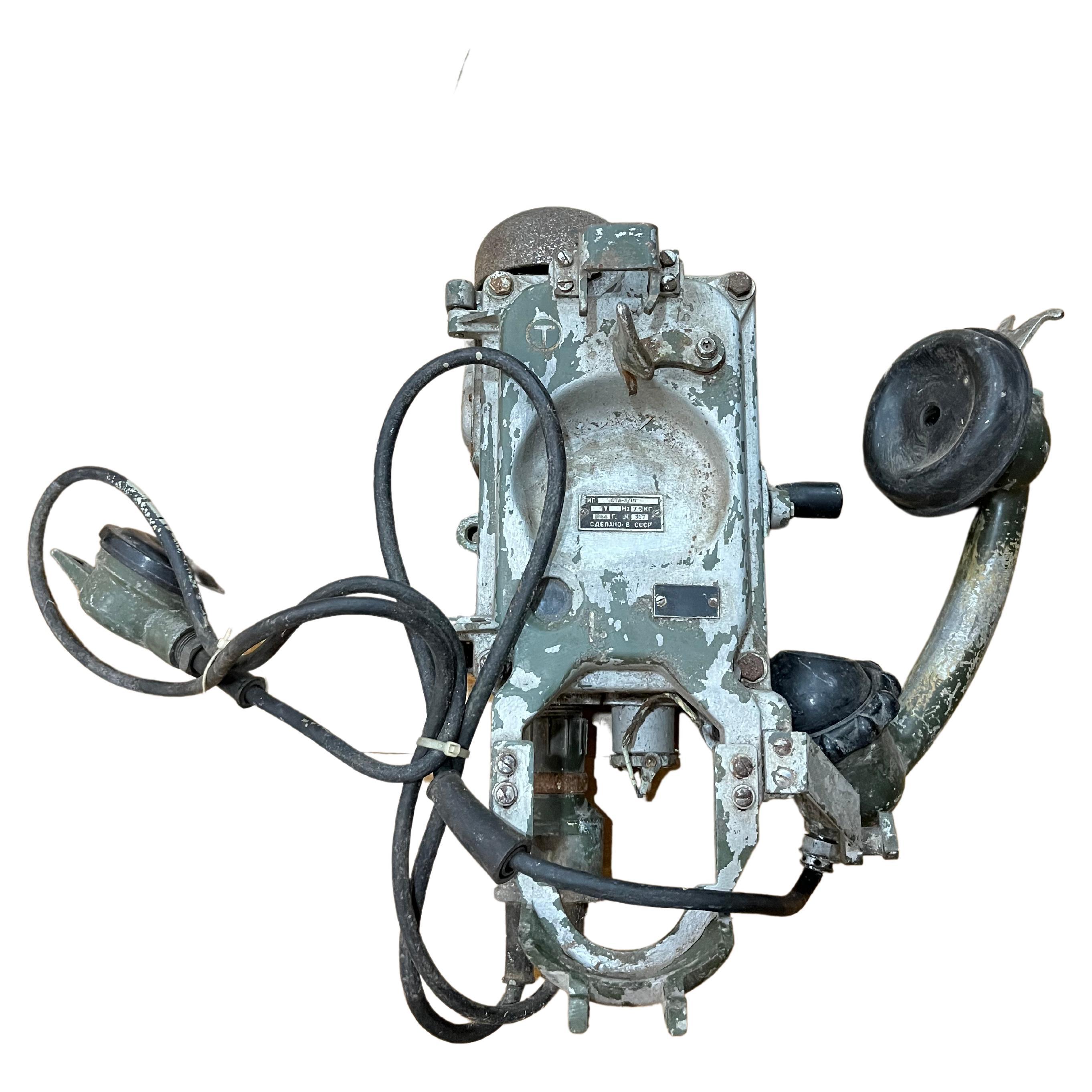
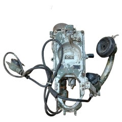
- Original Sovietic War phone 1940sLocated in Byron Bay, NSWOriginal Sovietic War phone 1940sCategory
Vintage 1940s European Historical Memorabilia
MaterialsMetal
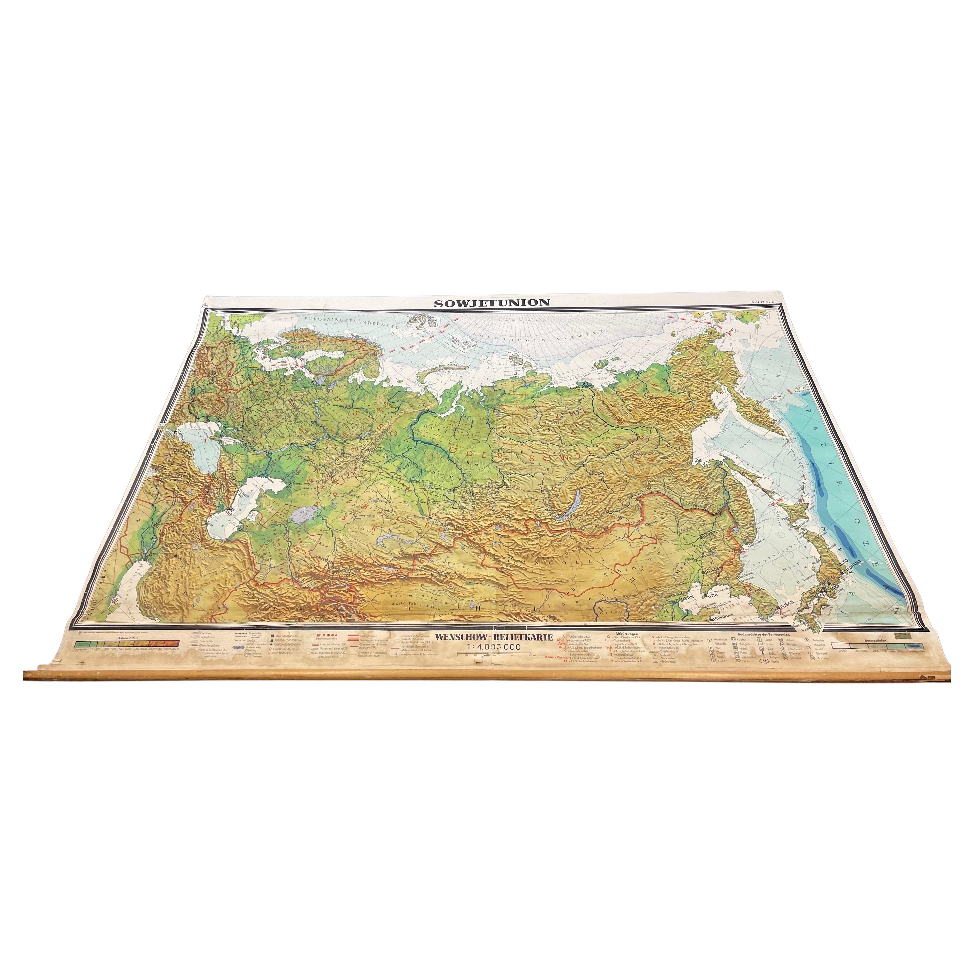
- Massive Vintage Wall Map of the Soviet Union 'Sowjetunion' by Karl WenschowBy Denoyer-GeppertLocated in San Diego, CAA massive vintage wall map of the Soviet Union (Sowjetunion) published by Karl Wenschow in Munich, Germany, circa 1950s. The map was distributed by De...Category
Mid-20th Century American Maps
MaterialsWood, Paper
 $540 Sale Price20% Off
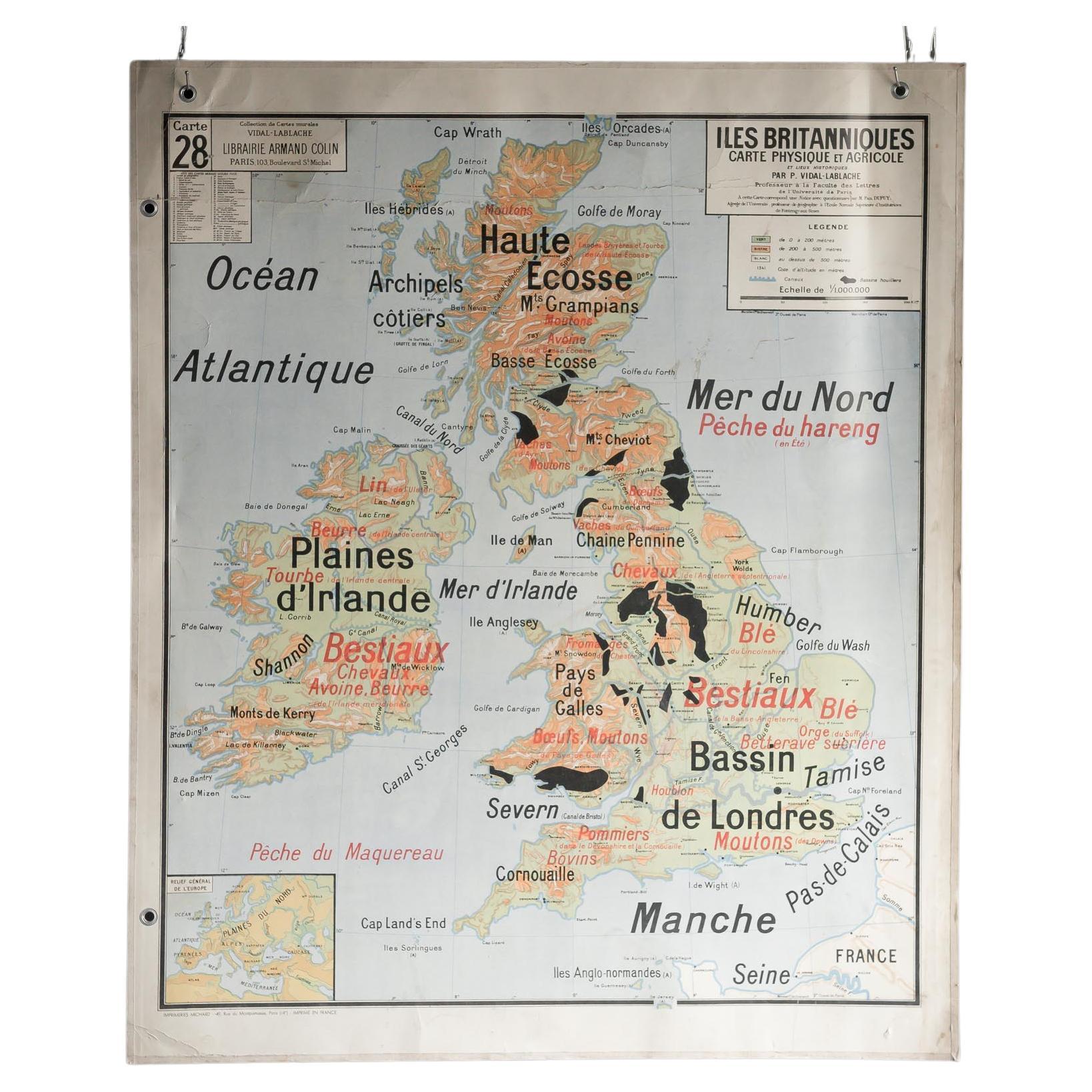
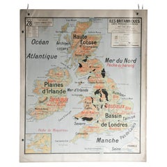
 - French School Map of Uk, Double-SidedLocated in Alton, GBMap of the UK in french made for schools from the 20th century.Category
20th Century Maps
MaterialsPaper
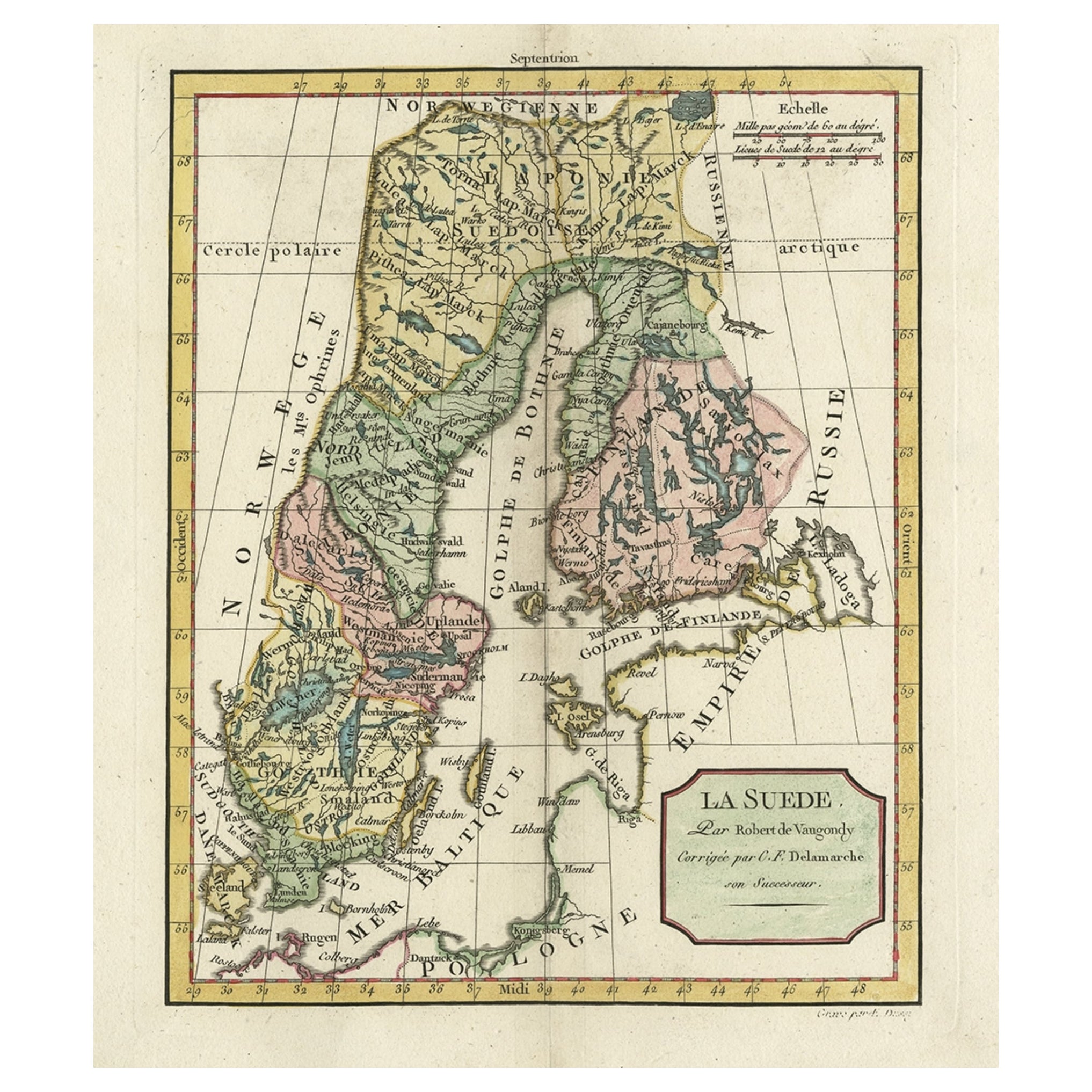
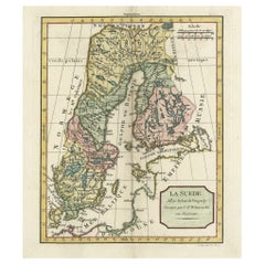
- Decorative Antique Map of Sweden and Part of Finland, 1806Located in Langweer, NLAntique map titled 'La Suede.' Decorative map of Sweden and part of Finland by Robert de Vaugondy, revised and published by Delamarche. Source unknown, to be determined. Artists and Engravers: Made by 'Charles Francois Delamarche' after an anonymous artist. Charles Francois Delamarche (1740-1817) founded the important and prolific Paris based Maison Delamarche map publishing firm in the late 18th century. A lawyer by trade Delamarche entered the map business with the acquisition from Jean-Baptiste Fortin of Robert de Vaugondy's map plates...Category
Antique Early 1800s Maps
MaterialsPaper
- Viking Inspired Bronze Broosch by Kalevala Koru, Finland 1940sLocated in Stockholm, SESpecial vintage and Viking inspired oval bronze brooch by Kalevala Koru, Finland 1940s. Great natural patina with lovely relieffs and decor. Stamped on ...Category
Vintage 1940s Finnish Mid-Century Modern Collectible Jewelry
MaterialsBronze
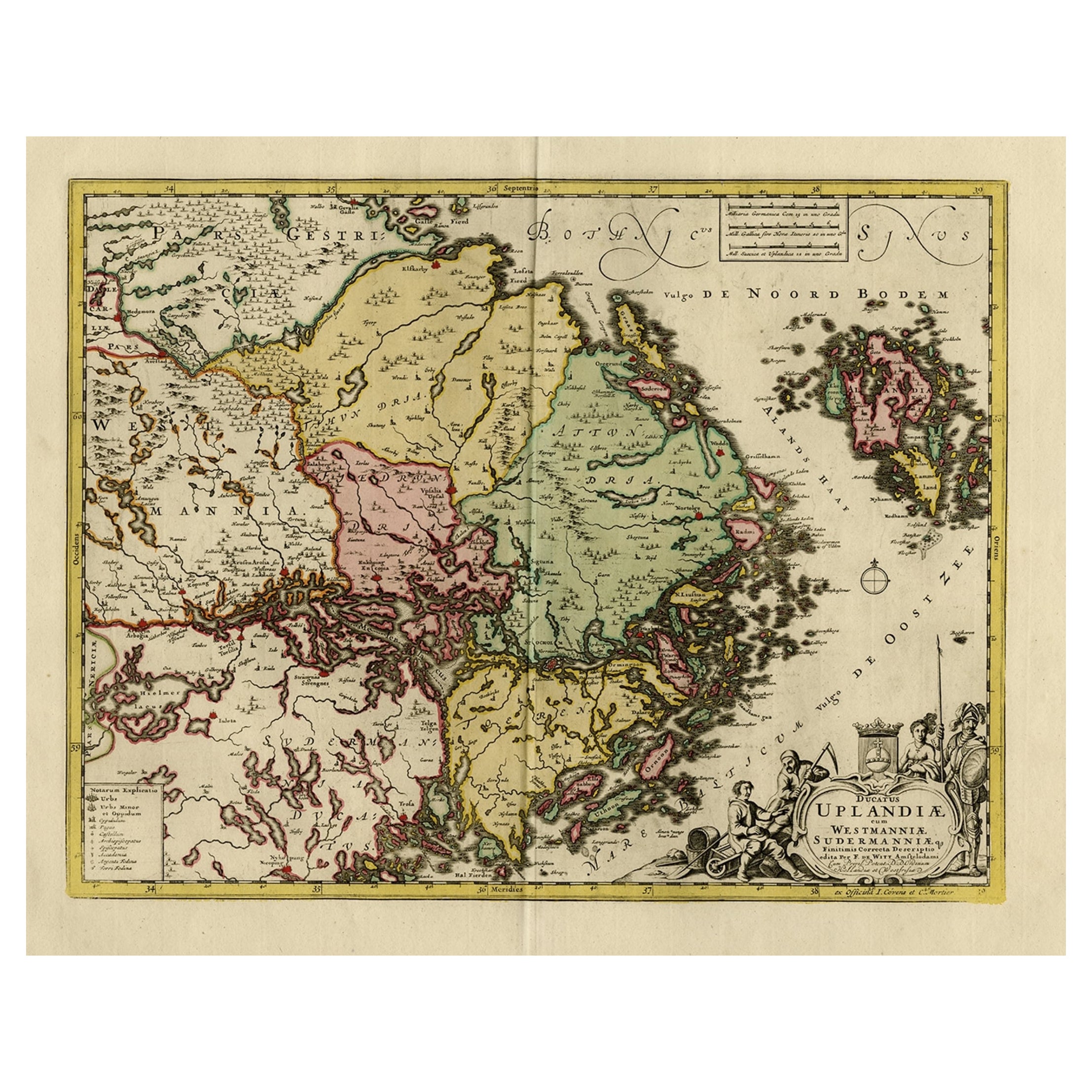
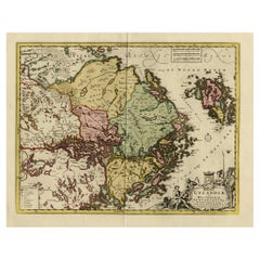
- Original and Decorative Antique Engraved Map of Finland and Sweden, ca.1720Located in Langweer, NLAntique map titled 'Ducatus Uplandiae cum Westmanniae Sudermanniae (..)' This map shows parts of Finland and Sweden. Originally published by Frederick de Wit in the late 1600's. ...Category
Antique 1720s Maps
MaterialsPaper
Recently Viewed
View AllMore Ways To Browse
Made In Ussr
Finland Map
Map Of Finland
French School Map
School Map Of France
1940s Ussr
Antique Map World
Antique Maps World
Antique World Map World Maps
Antique World Maps
Antique World Maps World Maps
Antique World Map
World Antique Map
World Map Antique
Old Map
Antique Map Of World
French Antique Decorative Collectibles
Map Of World Antique