Items Similar to George Philip's Large Relief Map of the World 150x110cm

Want more images or videos?
Request additional images or videos from the seller
1 of 14
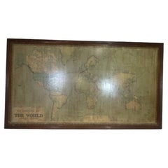
George Philip's Large Relief Map of the World 150x110cm
$562.11
£414.68
€470
CA$778.15
A$843.74
CHF 447.76
MX$10,391.71
NOK 5,549.73
SEK 5,237.67
DKK 3,578.36
About the Item
George Philip's Large Relief Map of the World 150x110cm
PHILIP, George Relief Map of the World. George Philip and Son Limited, c. 1950. Large 3D relief map of the world. Shaded relief on embossed plastic.
Breach at the level of South America - Brazil
Wear consistent with age and use.
George Philip and son Ltd, London - 3D Map
Measures : 150cmx3.7cm H:111cm
Material : red lacquered wooden frame - Plastic
- Creator:George Philip & Son (Manufacturer)
- Dimensions:Height: 43.71 in (111 cm)Width: 59.06 in (150 cm)Depth: 1.38 in (3.5 cm)
- Materials and Techniques:
- Place of Origin:
- Period:
- Date of Manufacture:1950s
- Condition:Wear consistent with age and use. Minor losses. Minor structural damages. Breach at the level of South America - Brazil Wear consistent with age and use Minor Losses Minor Structural Damages SEE PHOTOS.
- Seller Location:Linkebeek, BE
- Reference Number:1stDibs: LU10003244064952
About the Seller
No Reviews Yet
Vetted Professional Seller
Every seller passes strict standards for authenticity and reliability
1stDibs seller since 2024
29 sales on 1stDibs
Typical response time: <1 hour
- ShippingRetrieving quote...Shipping from: Linkebeek, Belgium
- Return Policy
Authenticity Guarantee
In the unlikely event there’s an issue with an item’s authenticity, contact us within 1 year for a full refund. DetailsMoney-Back Guarantee
If your item is not as described, is damaged in transit, or does not arrive, contact us within 7 days for a full refund. Details24-Hour Cancellation
You have a 24-hour grace period in which to reconsider your purchase, with no questions asked.Vetted Professional Sellers
Our world-class sellers must adhere to strict standards for service and quality, maintaining the integrity of our listings.Price-Match Guarantee
If you find that a seller listed the same item for a lower price elsewhere, we’ll match it.Trusted Global Delivery
Our best-in-class carrier network provides specialized shipping options worldwide, including custom delivery.More From This Seller
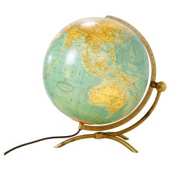
View AllGlass & brass luminous world map by Paul Oestergaard for Colombus Verlag - 1950s
Located in Linkebeek, BE
Glass & brass luminous world map by Paul Oestergaard for Colombus Verlag - 1950s
World map - Mid-Century - Deco Object
Measures : Ø 37cm H: 41cm
Material : Brass - Glass
Wear consis...
Category
Mid-20th Century German Mid-Century Modern Scientific Instruments
Materials
Brass
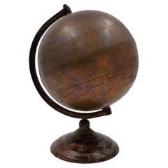
Burnished brass earth globe - Circa 1930s
Located in Linkebeek, BE
Burnished brass earth globe - Circa 1930s
Globe - World map
Measures : 20x18cm H:25cm
Wear consistent with age and use
Category
20th Century Maps
Materials
Brass
Abstract Painting on canvas signed and dated - Todaro 1961
Located in Linkebeek, BE
Abstract Painting on canvas signed and dated - Todaro 1961
Abstract - Art - Wall decoration
Enrique Todaro (Active in the mid-20th century). Chilean abstract painter, born in 1912, f...
Category
20th Century Belgian Paintings
Materials
Canvas
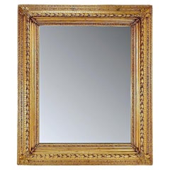
Large gilded wood and stucco mirror with foliage - 20th
Located in Linkebeek, BE
Large gilded wood and stucco mirror with foliage
Antique - Decoration - 20th
Measures : 103cmx6,5cm H:123
Wear Consistent with age and use
Category
20th Century Wall Mirrors
Materials
Stucco, Wood
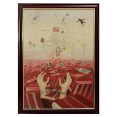
Miroslav Krofián "La victoire de l'Idéologie" contemporary painting - czechia
Located in Linkebeek, BE
Miroslav Krofián "La victoire de l'Idéologie" contemporary painting - czechia
Contemporary painting
Measures : 50cm H:70cm
Wear Consistent with age And Use
Category
Late 20th Century Czech Other Paintings
Materials
Canvas, Wood
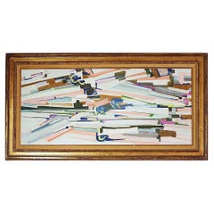
Abstract painting on cardboard - unsigned - 20th
Located in Linkebeek, BE
Abstract painting on cardboard - unsigned - 20th
Measures : 100cm H45cm
Wear Consistent with age and use
Category
20th Century Belgian Mid-Century Modern Paintings
Materials
Paper
You May Also Like
World Relief Map
Located in Antwerp, BE
Large world relief map.
Measures: Width 232 cm.
Height 158 cm.
Category
Mid-20th Century German Mid-Century Modern Maps
Materials
Acrylic

$2,154
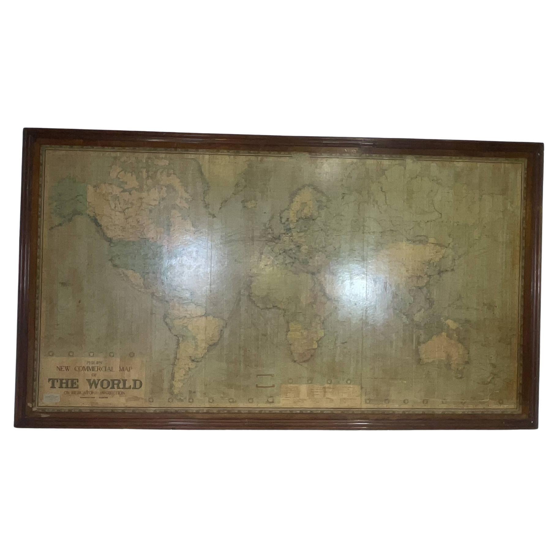
8 Foot Framed World Map by Philips
Located in Norwell, MA
1951 map of the world by George Philip and Son. Large beautiful map as it was in 1951. Nice patina mounted to a sturdy wood frame. Overall good condition. Very large in size. 90" W x...
Category
Vintage 1950s North American Maps
Materials
Paper
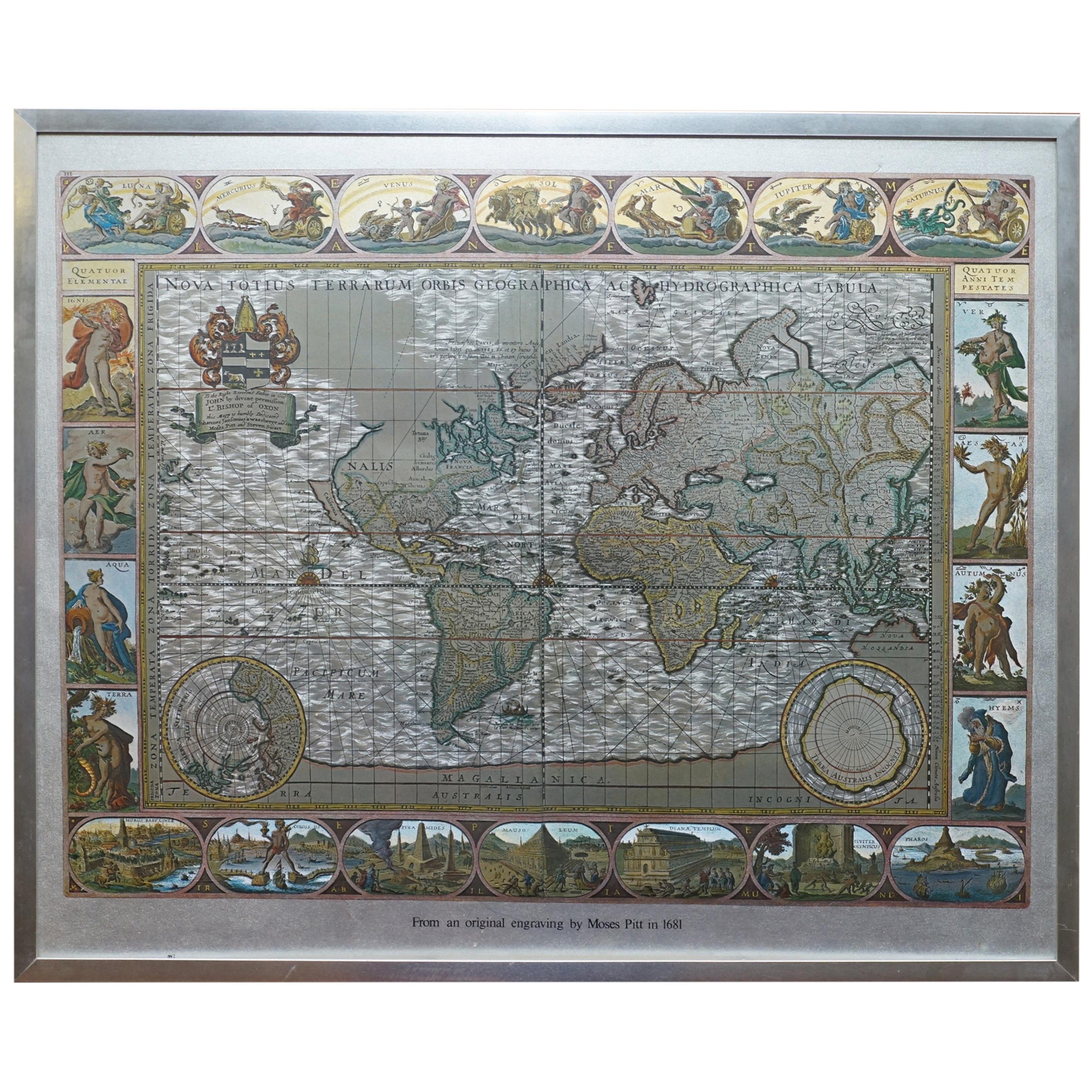
Silver Leaf Foil Wall World Map Engraving Based on the Original Moses Pitt, 1681
Located in West Sussex, Pulborough
We are delighted to offer for sale this lovely antique style pictorial silver leaf foil world map taken from and original engraving my Moses Pitt, 1681
This is a very interesting ...
Category
20th Century English Modern Maps
Materials
Silver Leaf

$266 Sale Price
30% Off
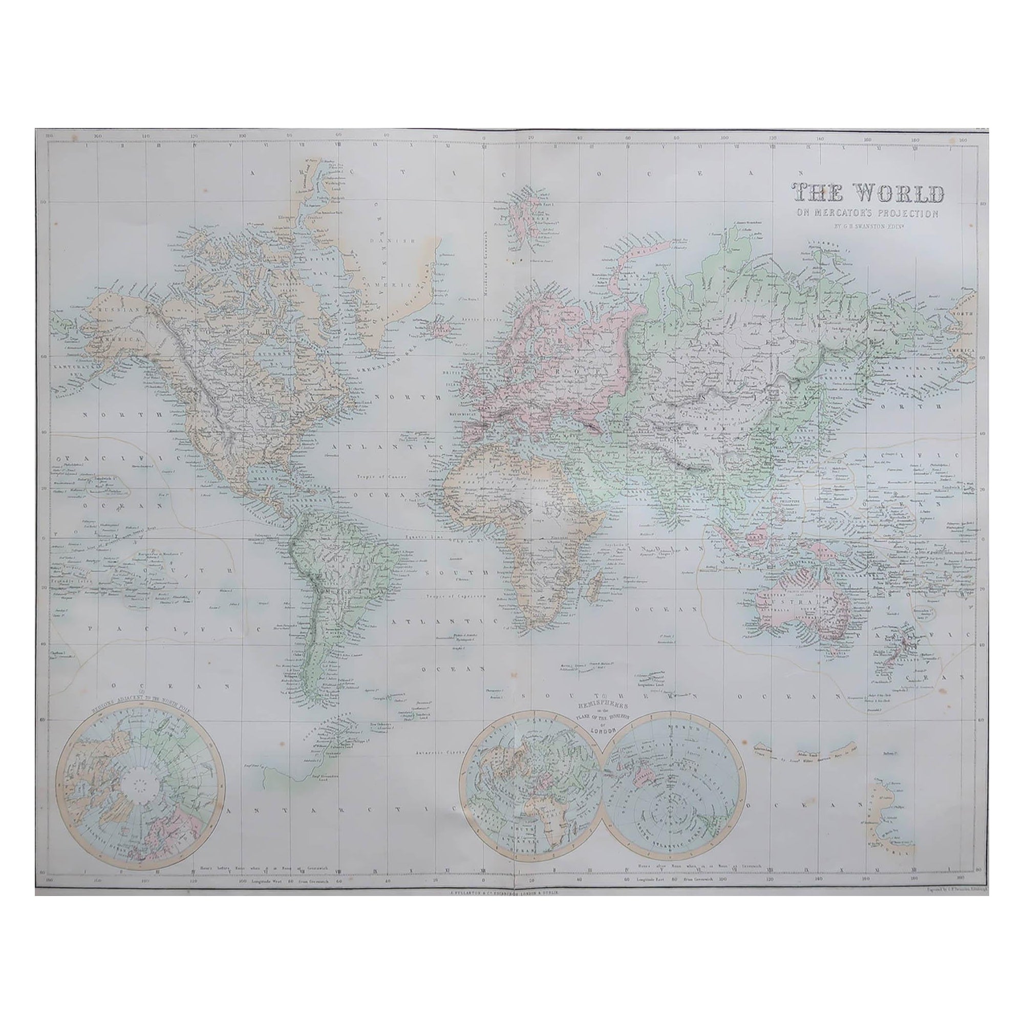
Large Original Antique Map of the World, Fullarton, circa 1870
Located in St Annes, Lancashire
Great map of the World.
From the celebrated Royal Illustrated Atlas
Lithograph. Original color.
Published by Fullarton, Edinburgh, circa 1870.
Unframed.
Category
Antique 1870s Scottish Maps
Materials
Paper

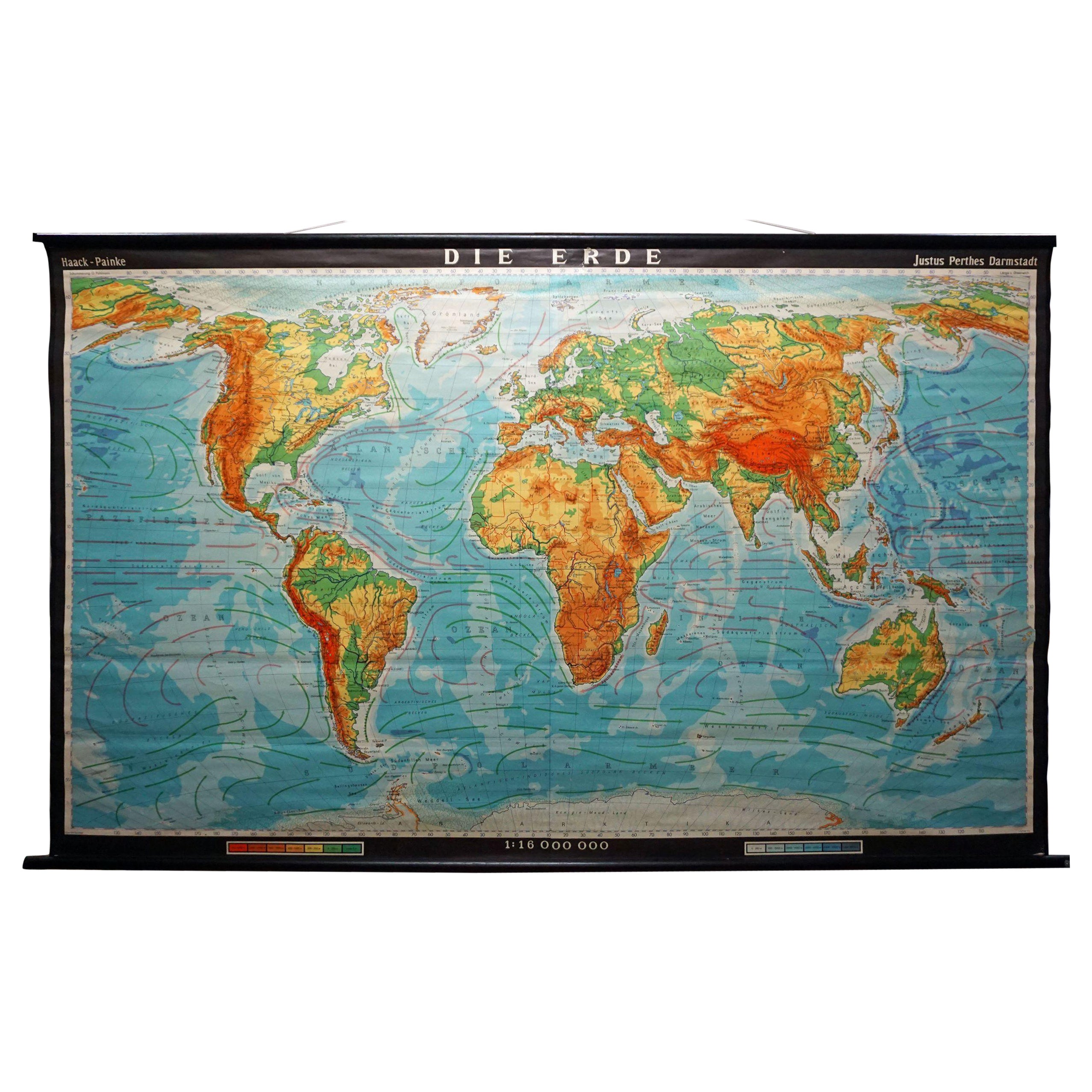
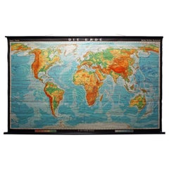
Vintage Mural World Map Earth Poster Pull-Down Wall Chart Poster Print
Located in Berghuelen, DE
A large decorative world map – named our earth, impressive wall chart decoration, published by Justus Perthes. Colorful print on paper reinforced with canvas.
Measurements:
Width 210 cm (82.68 inch)
Height 126,50cm (49.80 inch)
The measurements shown refer just to the canvas and do not include the poles.
Background information on the history of school wall charts:
The idea to upgrade every day school life by using pictures was supported in the late 18th century by Johann Bernhard Basedow. In 1774 he published a four-volume book "Elementarwerk" which combined pictures, text and information with merely hundred copperplates. Modern printing methods enabled the spread from rich private schools to rural grade schools. From 1820-1836 the oldest mentioned series of wall charts were published with the range of six booklets including 63 large sized charts...
Category
Vintage 1970s German Country Prints
Materials
Canvas, Wood, Paper
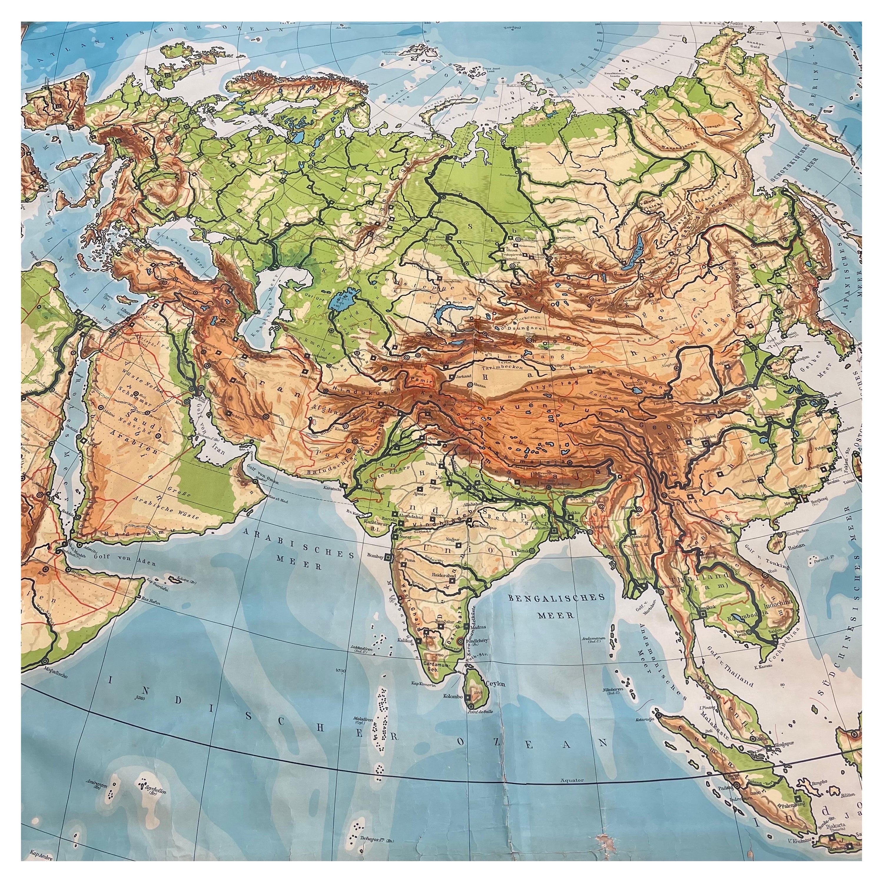
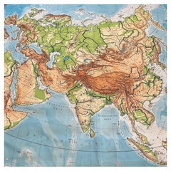
Huge Europe and Asia Vintage Wall Map
Located in San Diego, CA
A huge Europe and Asia vintage wall map, circa 1950s. The map is in fair vintage condition and measures 78"W x 73"H". #2863
Category
Mid-20th Century American Maps
Materials
Paper
$380 Sale Price
20% Off
More Ways To Browse
The Vintage Map
Leather Pouf And Ottomans
Low Side Tables
Set Of Four Italian Dining Chairs
Silk Runner Carpet
3x5 Rugs
Italian Lacquer Dining Room Sets
Round Brass Table
Round Table Base
Belgian Antiques
Cream Soup
Early English Silver
James Bond
Paisley Rugs and Carpets
Antique Pagoda
Black And Chrome Lounge Chair
Ceramic 1960s Italy
Vintage 1930 Dining Room Set