Items Similar to Large Antique Map of the Lower Nile Valley Including Egypt and Nubia, 1842


Want more images or videos?
Request additional images or videos from the seller
1 of 6
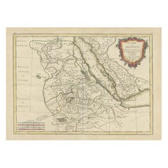
Large Antique Map of the Lower Nile Valley Including Egypt and Nubia, 1842
About the Item
Antique map titled 'Carte de l'Égypte, de la Nubie, de l'Abissinie'. Map of Egypt, covering the lower Nile valley including Egypt and Nubia. This map originates from 'Atlas universel de géographie ancienne et moderne (..)' by Pierre M. Lapie and Alexandre E. Lapie.
Artists and Engravers: Pierre M. Lapie was a French cartographer and engraver. He was the father of cartographer Alexandre Emile Lapie.
Condition: Very good, general age-related toning. Original folding line, blank verso. Please study image carefully.
Date: 1842
Overall size: 50.5 x 68 cm.
Image size: 40 x 54.5 cm.
We sell original antique maps to collectors, historians, educators and interior decorators all over the world. Our collection includes a wide range of authentic antique maps from the 16th to the 20th centuries. Buying and collecting antique maps is a tradition that goes back hundreds of years. Antique maps have proved a richly rewarding investment over the past decade, thanks to a growing appreciation of their unique historical appeal. Today the decorative qualities of antique maps are widely recognized by interior designers who appreciate their beauty and design flexibility. Depending on the individual map, presentation, and context, a rare or antique map can be modern, traditional, abstract, figurative, serious or whimsical. We offer a wide range of authentic antique maps for any budget.
- Dimensions:Height: 26.78 in (68 cm)Width: 19.89 in (50.5 cm)Depth: 0 in (0.01 mm)
- Materials and Techniques:
- Period:
- Date of Manufacture:1842
- Condition:
- Seller Location:Langweer, NL
- Reference Number:
About the Seller
5.0
Platinum Seller
These expertly vetted sellers are 1stDibs' most experienced sellers and are rated highest by our customers.
Established in 2009
1stDibs seller since 2017
1,929 sales on 1stDibs
Typical response time: <1 hour
- ShippingRetrieving quote...Ships From: Langweer, Netherlands
- Return PolicyA return for this item may be initiated within 14 days of delivery.
More From This SellerView All
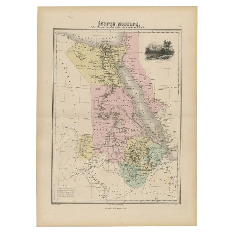
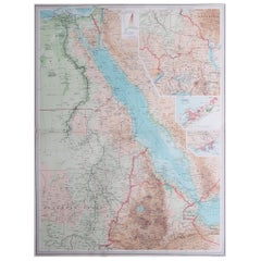
- Antique Map of The Nile, Egypt, Nubia and Abyssinia and Inset of Jerusalem, 1880Located in Langweer, NLAntique map titled 'Égypte Moderne'. Old map of Egypt, Nubia and Abyssinia (Ethiopia), Kordofan and Darfour (parts of Sudan), as well as part of Arabia. With decorative vignette of J...Category
Antique 19th Century Maps
MaterialsPaper
- Antique Map of Egypt, Arabia Petraea and Lower Nubia by Johnston '1909'Located in Langweer, NLAntique map titled 'Egypt, Arabia Petraea and Lower Nubia'. Original antique map of Egypt, Arabia Petraea and Lower Nubia. With inset maps of Alexandriam Cairo and the Suez Canal...Category
Early 20th Century Maps
MaterialsPaper
- Antique Map of Egypt and the Nile RiverLocated in Langweer, NLAntique map titled 'Egypten nach dem Zustand der alten Zeit vorgestellt'. This uncommon and richly detailed map of Egypt features hundreds of place names along the Nile. The Sinai Pe...Category
Antique Mid-18th Century Maps
MaterialsPaper
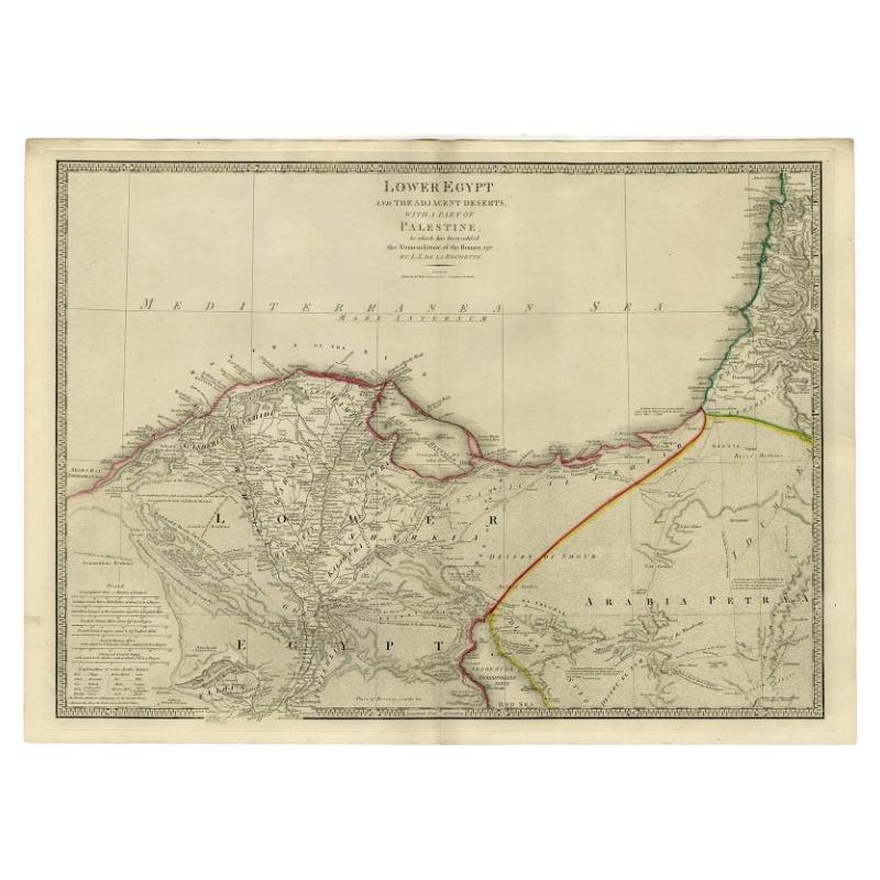
- Large Antique Map of Egypt and the Nile Delta by Wyld, 1854Located in Langweer, NLAntique map titled 'Lower Egypt and the adjacent desert, with a part of Palestine to which has been addes the nomenclature of the Roman age by L.S. de la Rochette'. Map of Egypt and ...Category
Antique 19th Century Maps
MaterialsPaper
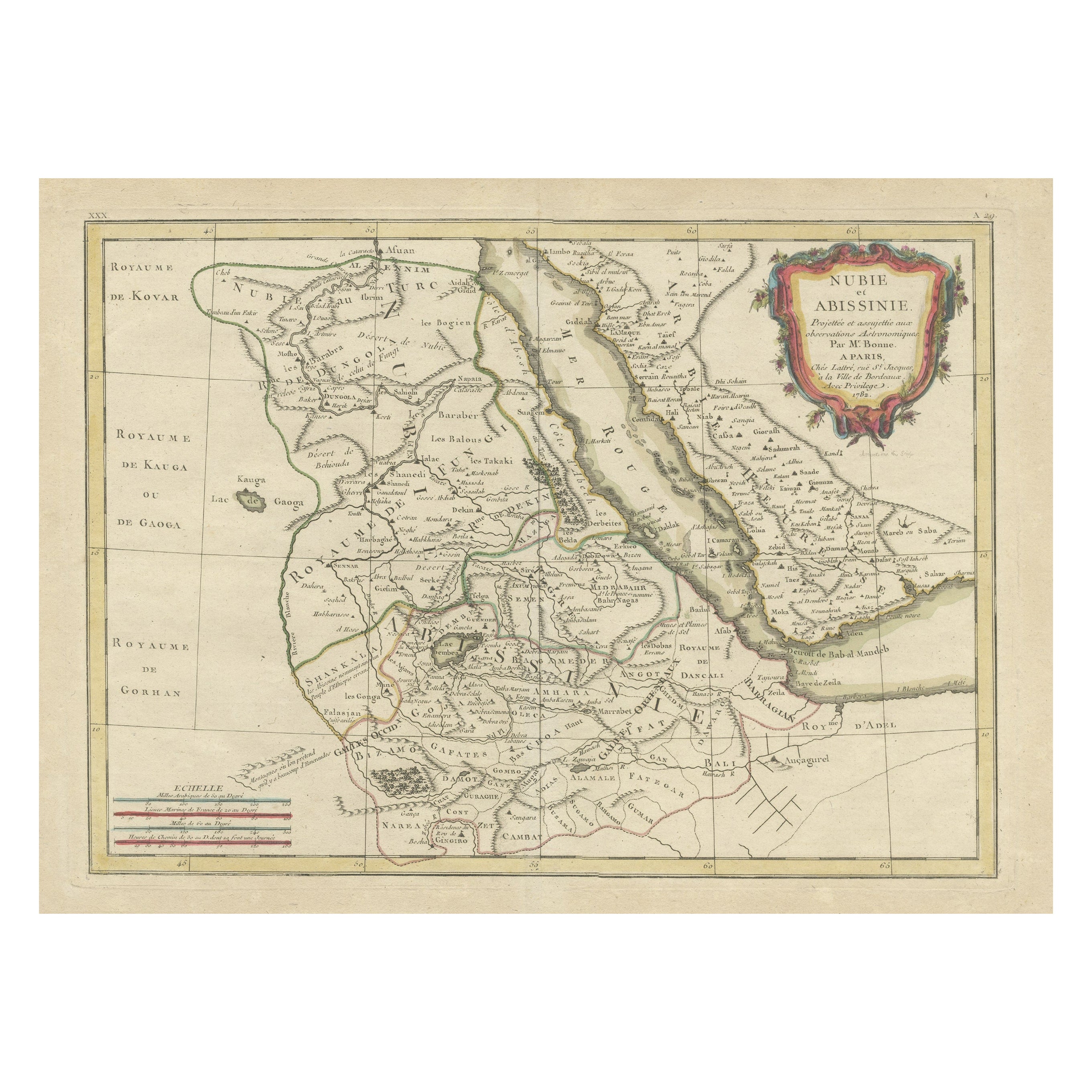
- Antique Map of Arabia including Nubia and Abyssinia, also shows the Red SeaLocated in Langweer, NLAntique map titled 'Nubie et Abissinie'. Original antique map of Nubia, a region along the Nile river, and Abyssinia or the Ethiopian Empire. This map o...Category
Antique Late 18th Century Maps
MaterialsPaper
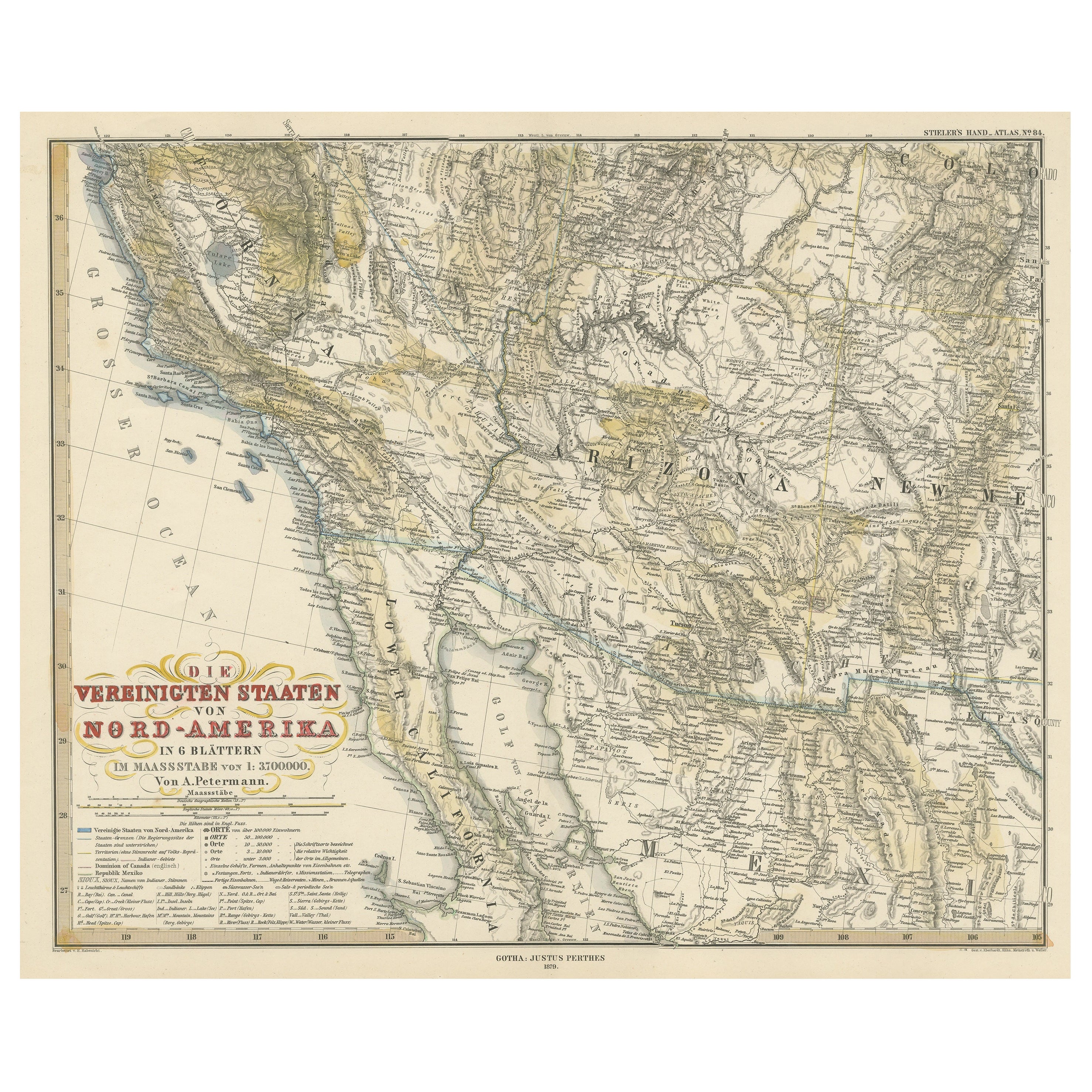
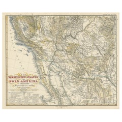
- Antique Map of Part of the United States Including Lower California & ArizonaLocated in Langweer, NLAntique map of part of the United States of America including Lower California, Arizona and part of Mexico. This map was part of a set of six individual sheets with maps of the Unite...Category
Antique Late 19th Century Maps
MaterialsPaper


You May Also Like
- Large Original Vintage Map of The Pacific Islands Including HawaiiLocated in St Annes, LancashireGreat map of The Pacific Islands Unframed Original color By John Bartholomew and Co. Edinburgh Geographical Institute Published, circa 1...Category
Vintage 1920s British Maps
MaterialsPaper
- Antique French Map of Asia Including China Indoneseia India, 1783Located in Amsterdam, Noord HollandVery nice map of Asia. 1783 Dedie au Roy. Additional information: Country of Manufacturing: Europe Period: 18th century Qing (1661 - 1912) Condition: Overall Condition B (Good Used)...Category
Antique 18th Century European Maps
MaterialsPaper
- Antique 1803 Italian Map of Asia Including China Indoneseia IndiaLocated in Amsterdam, Noord HollandAntique 1803 Italian Map of Asia Including China Indoneseia India Very nice map of Asia. 1803. Additional information: Type: Map Country of Manufacturing: Europe Period: 19th centu...Category
Antique 19th Century European Maps
MaterialsPaper
- Large Original Vintage Map of Egypt, circa 1920Located in St Annes, LancashireGreat map of Egypt Unframed Original color By John Bartholomew and Co. Edinburgh Geographical Institute Published, circa 1920 Free shipping.Category
Vintage 1920s British Maps
MaterialsPaper
- Hand Colored 18th Century Homann Map of Austria Including Vienna and the DanubeBy Johann Baptist HomannLocated in Alamo, CA"Archiducatus Austriae inferioris" is a hand colored map of Austria created by Johann Baptist Homann (1663-1724) and published in Nuremberg, Germany in 1728 shortly after his death. ...Category
Antique Early 18th Century German Maps
MaterialsPaper
- 1842 Wall Map of the United States by J. H. Young, Published by S. A. MitchellLocated in Colorado Springs, COPresented is an 1842 hanging “Map of the United States,” engraved by J. H. Young and published by Samuel Augustus Mitchell, Philadelphia. This is a beautiful example of the rare 1842...Category
Antique 1840s American Maps
MaterialsPaper


Recently Viewed
View AllMore Ways To Browse
Egyptian And Antique
Rare Egyptian
Egyptian Interiors
Large Map Of The World
Large Maps On Paper
Large 19th Century Maps
Engraved 68
Large World Map
Large Antique World Maps
Large Antique World Map
Antique World Map Large
Large Antique Map Of The World
Map Of Egypt
Egyptian Authentic Furniture
Antique Map Egypt
Antique Egypt Map
Egypt Map
Antique Map Of Egypt