Items Similar to Large Sea Chart of the Zuyder Zee & The Northsea with the Wadden Islands, 1773


Want more images or videos?
Request additional images or videos from the seller
1 of 6
Large Sea Chart of the Zuyder Zee & The Northsea with the Wadden Islands, 1773
About the Item
The copper engraving by Herman van Loon, published by Pieter Mortier in 'Le Neptune François' in Amsterdam, is a remarkable piece within the realm of seventeenth-century cartography. 'Le Neptune François' is esteemed as the finest and most sophisticated sea atlas to be published in Amsterdam during that era.
Mortier's aim with this work was to compete with the popular 'Nieuwe groote lichtende zeefakkel' by Johannes van Keulen. To achieve this, Mortier collaborated with esteemed craftsmen such as Romeyn de Hooghe and Herman van Loon.
The atlas is considered a 'contrefaçon', an identical reproduction, with Mortier adding several maps to the original. The original work was by Jean Colbert, who, along with a group of mathematicians and astronomers from the Académie Royale des Sciences, compiled a sublime atlas of 29 sheets. The publication was overseen by the royal geographer Alexis-Hubert Jaillot in Paris.
Pieter Mortier obtained the privilege in 1690 to distribute maps and atlases from French publishers in Holland, a significant development in his career as a cartographer and publisher. This collaboration and privilege underscore Mortier's ambition to produce high-quality cartography and compete with other prominent publishers of the time.
'Le Neptune François' stands as a testament to Mortier's commitment to excellence and innovation in cartography. The inclusion of additional maps, coupled with the expertise of renowned cartographers and engravers, solidifies its reputation as a pinnacle of seventeenth-century mapmaking.
In summary, this piece provides insight into the competitive and complex world of seventeenth-century cartography and publishing, highlighting the role of individuals like Pieter Mortier in advancing this art and science.
- Creator:H. van Loon (Artist)
- Dimensions:Height: 25.2 in (64 cm)Width: 36.62 in (93 cm)Depth: 0.02 in (0.5 mm)
- Materials and Techniques:
- Period:
- Date of Manufacture:1773
- Condition:Please study images carefully.
- Seller Location:Langweer, NL
- Reference Number:
About the Seller
5.0
Platinum Seller
These expertly vetted sellers are 1stDibs' most experienced sellers and are rated highest by our customers.
Established in 2009
1stDibs seller since 2017
1,919 sales on 1stDibs
Typical response time: <1 hour
- ShippingRetrieving quote...Ships From: Langweer, Netherlands
- Return PolicyA return for this item may be initiated within 14 days of delivery.
More From This SellerView All
- Large Sea Chart of the British Islands, 1918Located in Langweer, NLAntique map titled 'The British Islands'. Large sea chart of the British Islands. It shows Ireland, Scotland, England, the Shetland Islands and part of Fra...Category
Vintage 1910s Maps
MaterialsPaper
- Large Chart of the island and sea of Java, IndonesiaLocated in Langweer, NLAntique map titled 'Carte Esférica de la Isla Y Mar de Java'. Large chart of the island and sea of Java, Indonesia. Beautiful nautical chart, published 1863 in Spain.Category
Antique Mid-19th Century Maps
MaterialsPaper
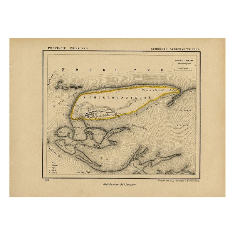
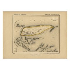
- Antique Map of Schiermonnikoog, Wadden Island of the Netherlands, 1868Located in Langweer, NLAntique map titled 'Provincie Friesland - Gemeente Schiermonnikoog'. Map of the township of Schiermonnikoog, Friesland. This map originates from 'Gemeente-Atlas van Nederland' by J. ...Category
Antique 19th Century Maps
MaterialsPaper
- Antique Sea Chart of the Shetland Islands, Scotland, ca.1745Located in Langweer, NLAntique map of Scotland titled 'Nieuwe Paskaard van Hitland met de daar omleggende eylanden na de nieuwe aftekening gemaakt by den Lofwaarden en onvermoeyden Hit en Zeeman Ian Bruyst...Category
Antique 1740s Maps
MaterialsPaper
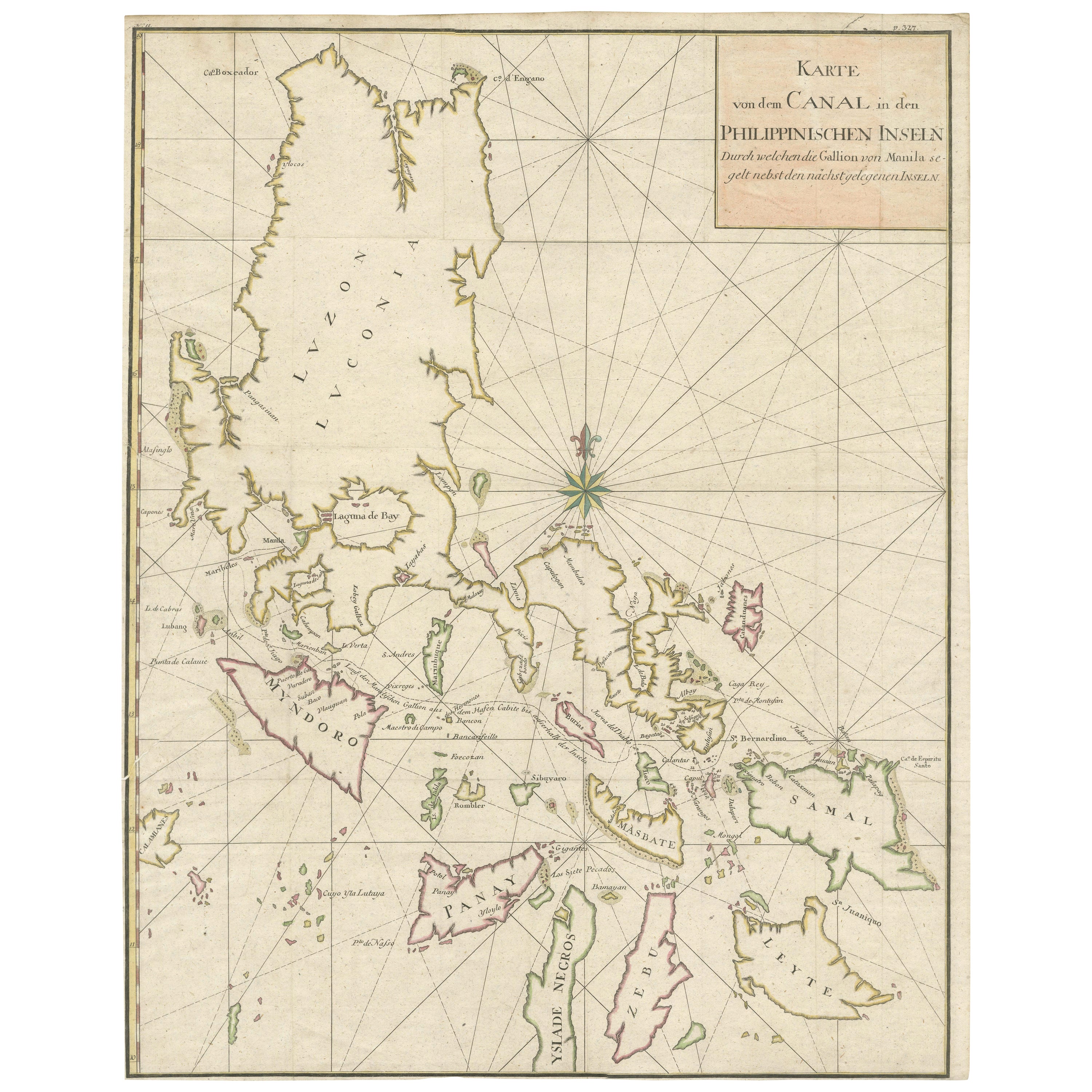
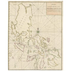
- Large German Chart of the Islands of the Philippines with Hand-Colored BordersLocated in Langweer, NLOriginal antique map titled 'Karte von dem Canal in den Philippinischen Inseln (..)'. Large detailed chart of the islands of the Philippines. One of the most detailed charts of the Philippines of the era. Shows Islands, bays, reefs, soundings tracks of the Manila Galleon route, etc. Includes a large compass rose and rhumb lines. Originates from a German edition of "Voyage around the World...Category
Antique Mid-18th Century Maps
MaterialsPaper
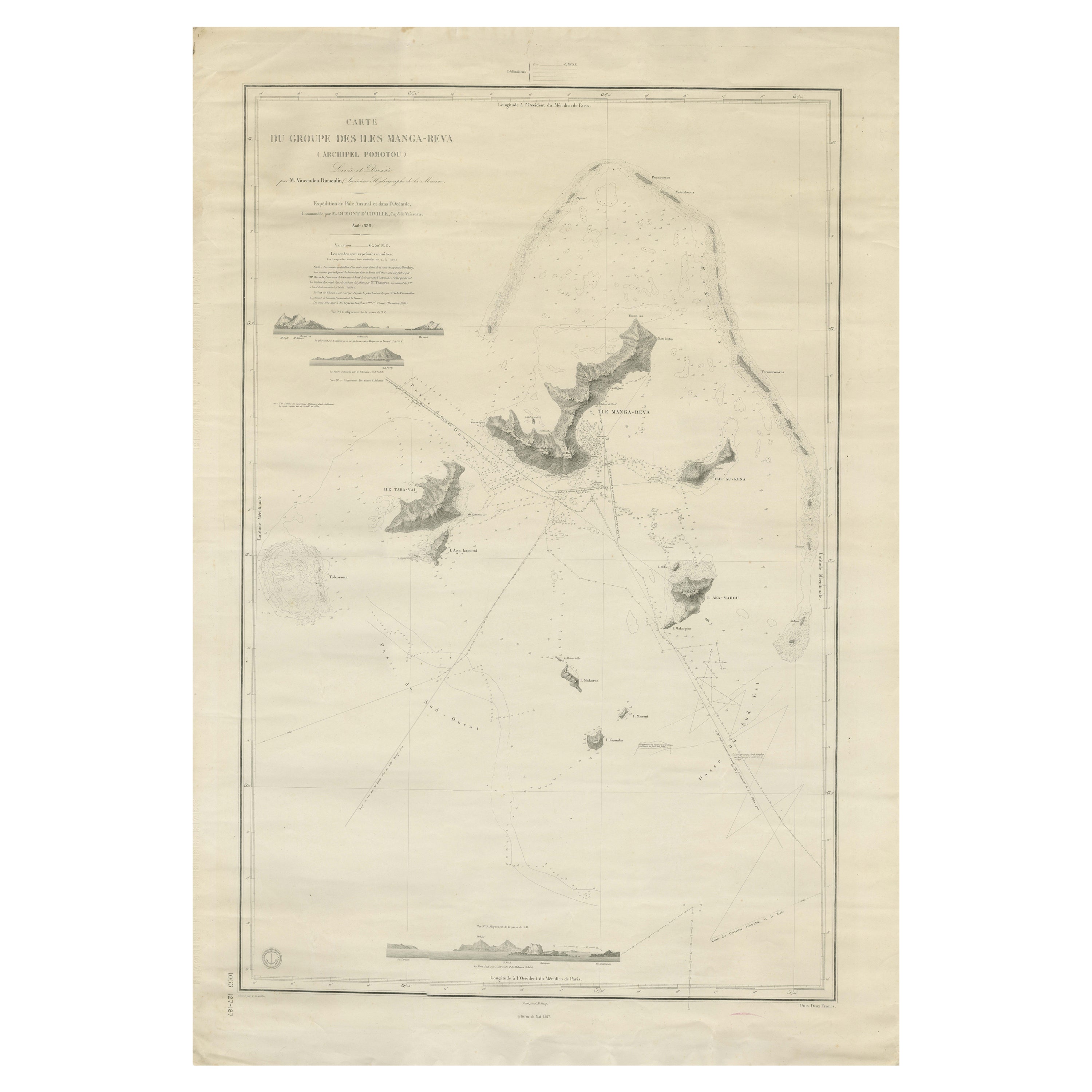
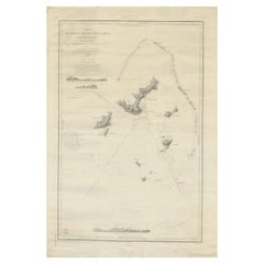
- Large Chart of the Gambier Islands, Tuamotu Archipelago, French PolynesiaLocated in Langweer, NLAntique map titled 'Carte du Groupe des Iles Manga-Reva (Archipel Pomotou)'. Large chart of the Tuamotu Archipelago, French Îles Tuamotu, also called Paumotu, island group of French ...Category
Antique Mid-19th Century Maps
MaterialsPaper


You May Also Like
- Hand-Colored 18th Century Homann Map of Denmark and Islands in the Baltic SeaBy Johann Baptist HomannLocated in Alamo, CAAn 18th century copper plate hand-colored map entitled "Insulae Danicae in Mari Balthico Sitae utpote Zeelandia, Fionia, Langelandia, Lalandia, Falstria, Fembria Mona" created by Joh...Category
Antique Early 18th Century German Maps
MaterialsPaper
- 1865 Chart of the Islands of MadeiraLocated in Norwell, MARare James Imray chart from 1865 titled "Chart of the Islands of Madeira, Porto Santo and Dezerea" drawn from the survey made by Captain Ate Vidal Royal Navy, London. Published by Ja...Category
Antique 1860s European Maps
MaterialsPaper
- Antique Anatomical Wall Chart Depicting the Human SkeletonLocated in Berghuelen, DEA rare 19th century anatomical wall chart depicting the human skeleton. On the sides On the sides are detailed description in German language. The wall...Category
Early 20th Century German Victorian Prints
MaterialsPaper
- Anatomical Wall Chart Depicting the Human Lymphatic and Blood VesselsLocated in Berghuelen, DEA rare 19-carat anatomical wall chart depicting the human lymphatic and blood vessels. On the sides with detailed description in German language. Print...Category
Early 20th Century German Victorian Prints
MaterialsPaper
- Genito-Urinary Anatomical Chart Fritz FrohseBy Nystrom / Frohse Art, Fritz FrohseLocated in Philadelphia, PAGenito-Urinary Anatomical Chart by Fritz Frohse. Dated 1922. Paper mounted on canvas. Shows wear but still presents very well!Category
Vintage 1920s German American Classical Prints
MaterialsCanvas, Paper
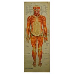
- Foldable Anatomical Wall Chart Depicting Human MusculatureLocated in Berghuelen, DEA rare 19th century anatomical wall chart depicting human musculature and internal organs. With removable multicolored human organs like lung, heart, l...Category
Early 20th Century German Victorian Prints
MaterialsPaper