
Map of Boston and Surrounding Towns
View Similar Items


Want more images or videos?
Request additional images or videos from the seller
1 of 15
Map of Boston and Surrounding Towns
About the Item
- Dimensions:Height: 44 in (111.76 cm)Width: 32 in (81.28 cm)Depth: 2 in (5.08 cm)
- Materials and Techniques:
- Place of Origin:
- Period:
- Date of Manufacture:2018
- Condition:
- Seller Location:Norwell, MA
- Reference Number:Seller: 81841stDibs: LU1741235732382
About the Seller
5.0
Vetted Professional Seller
Every seller passes strict standards for authenticity and reliability
Established in 1967
1stDibs seller since 2015
396 sales on 1stDibs
Typical response time: 2 hours
Authenticity Guarantee
In the unlikely event there’s an issue with an item’s authenticity, contact us within 1 year for a full refund. DetailsMoney-Back Guarantee
If your item is not as described, is damaged in transit, or does not arrive, contact us within 7 days for a full refund. Details24-Hour Cancellation
You have a 24-hour grace period in which to reconsider your purchase, with no questions asked.Vetted Professional Sellers
Our world-class sellers must adhere to strict standards for service and quality, maintaining the integrity of our listings.Price-Match Guarantee
If you find that a seller listed the same item for a lower price elsewhere, we’ll match it.Trusted Global Delivery
Our best-in-class carrier network provides specialized shipping options worldwide, including custom delivery.More From This Seller
View AllChart of Boston's North Shore
Located in Norwell, MA
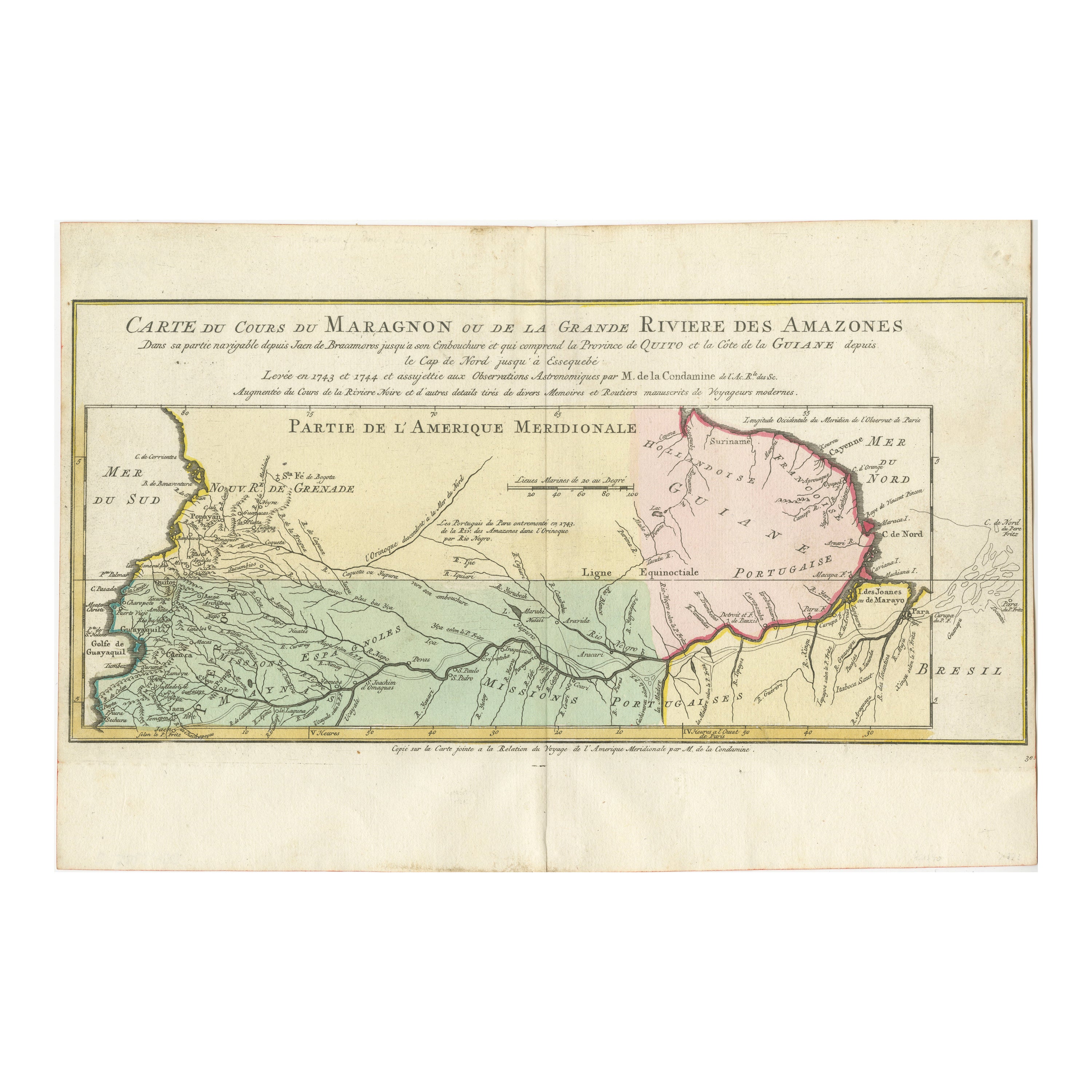
Rarely found restrike of an 1804 chart by Nathanael Bowditch of the Harbors of Salem, Marblehead, Beverly, and Manchester.
Showing the Islands of Great Misery, Satan, Cuney, Winter,...
Category
Vintage 1980s North American Maps
Materials
Paper

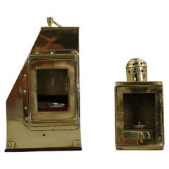
Thaxter of Boston Yacht Binnacle
By Samuel Thaxter
Located in Norwell, MA
Solid brass yacht binnacle with highly polished case and compass, sidelight, and carry ring. Maker is Samuel Thaxter of Boston.
Overall Dimensions: 10"H x 6"D x 9"L. 5 pounds.
Category
Antique Early 1900s Nautical Objects
Materials
Brass
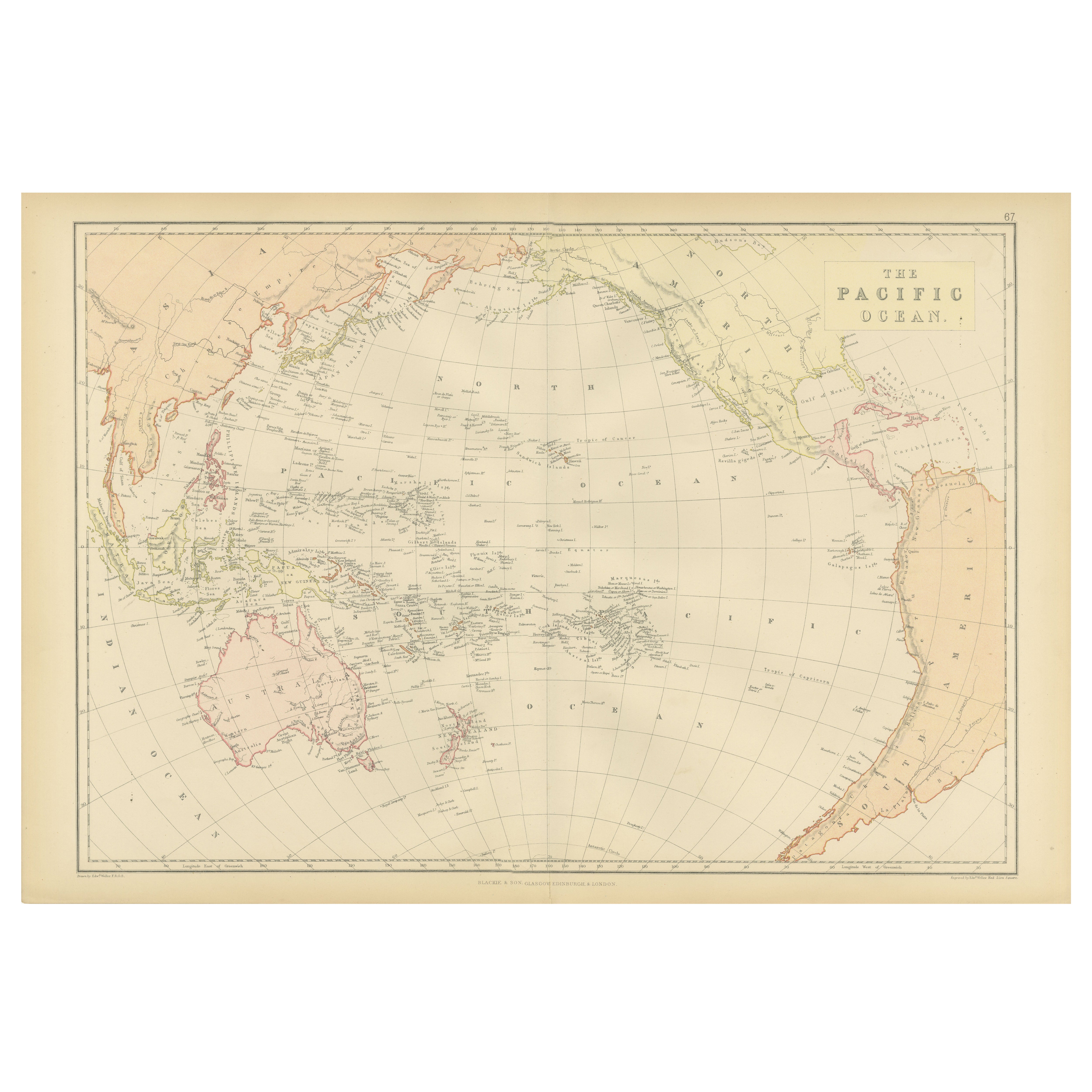
1898 Chart of Boston Bay
Located in Norwell, MA
Original 1898 chart showing Massachusetts Bay with the coast from Cape Ann to Cape Cod. This is a U.S. Navy Geodetic survey chart. All towns are noted along the coast. Framed with gl...
Category
Antique 1890s Nautical Objects
Materials
Paper

$1,495
Map of Harwich, Massachusetts
Located in Norwell, MA
Turn of the century map of Harwich, Massachusetts. Plate from a Cape Cod County Map book showing the Barnstable county town of Harwich including Allens Harbor, Pleasant Lake, Harwich...
Category
20th Century Maps

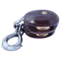
Vintage Pulley by Merriman of Boston
Located in Norwell, MA
Double sheave yacht pulley with ash case and tobin bronze pins, two polished and lacquered pins and steel "Side sister Hooks". Awesome restoration of this ...
Category
Vintage 1930s North American Nautical Objects
Materials
Brass
1891 Map of Norfolk County Massachusetts
Located in Norwell, MA
1891 map of Norfolk county Massachusetts including the towns of Wrentham, Franklin, Medfield, Sherborn, Norwood etc., measures: 23 x 31.
Category
Antique 19th Century Maps

You May Also Like
Antique Map of Champagne and surrounding Regions, France
Located in Langweer, NL
Antique map titled 'Carte de la Champagne et des Pays Voisins (..)'. Detailed map of Champagne and surrounding regions of Chalons and Soissons, Reims,...
Category
Antique Mid-18th Century Maps
Materials
Paper

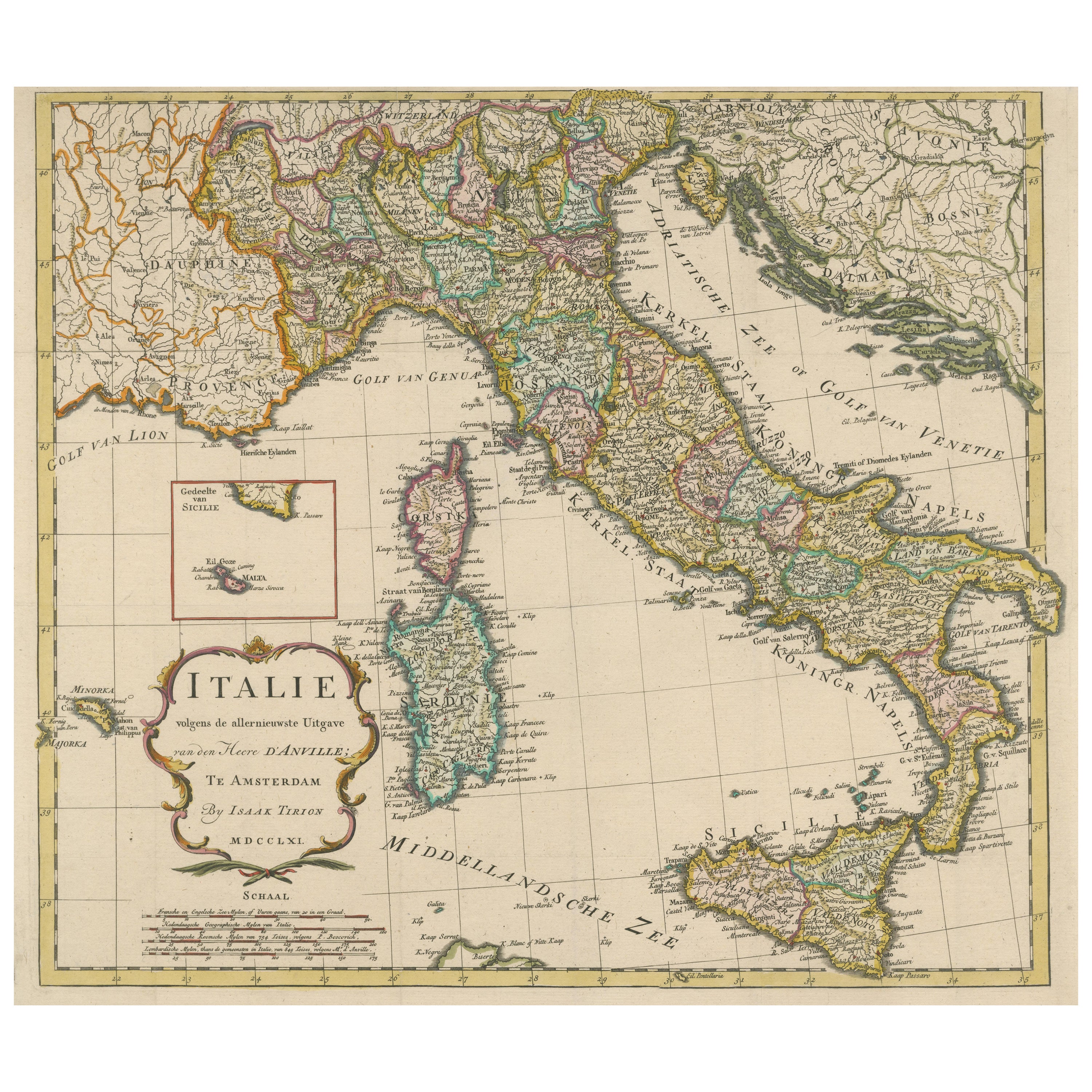
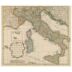
Detailed Antique Map of Italy and surrounding Islands
Located in Langweer, NL
Antique map titled 'Italie volgens de allernieuwste Uitgave van den Heere d'Anville'. Very detailed antique map, based on D'Anville's important map of It...
Category
Antique Mid-18th Century Maps
Materials
Paper
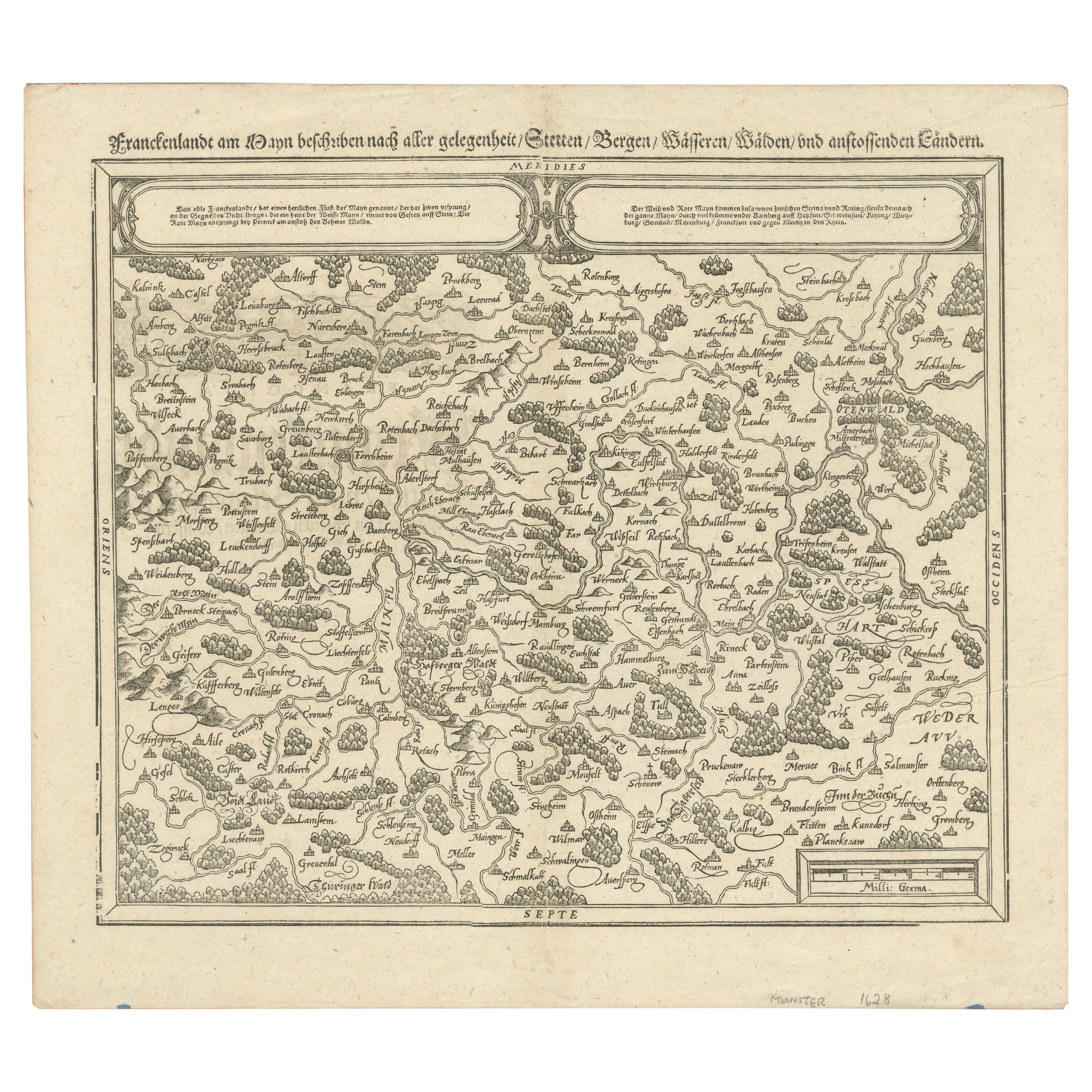
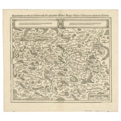
Early Woodcut Map of Franconia and Surrounding Regions, 1628
Located in Langweer, NL
Title: Early Woodcut Map of Franconia and Surrounding Regions, 1628
Franconia (Franckenlande) is a region in Germany. Historically, Franconia was a significant part of the Holy Roma...
Category
Antique 1620s Maps
Materials
Paper
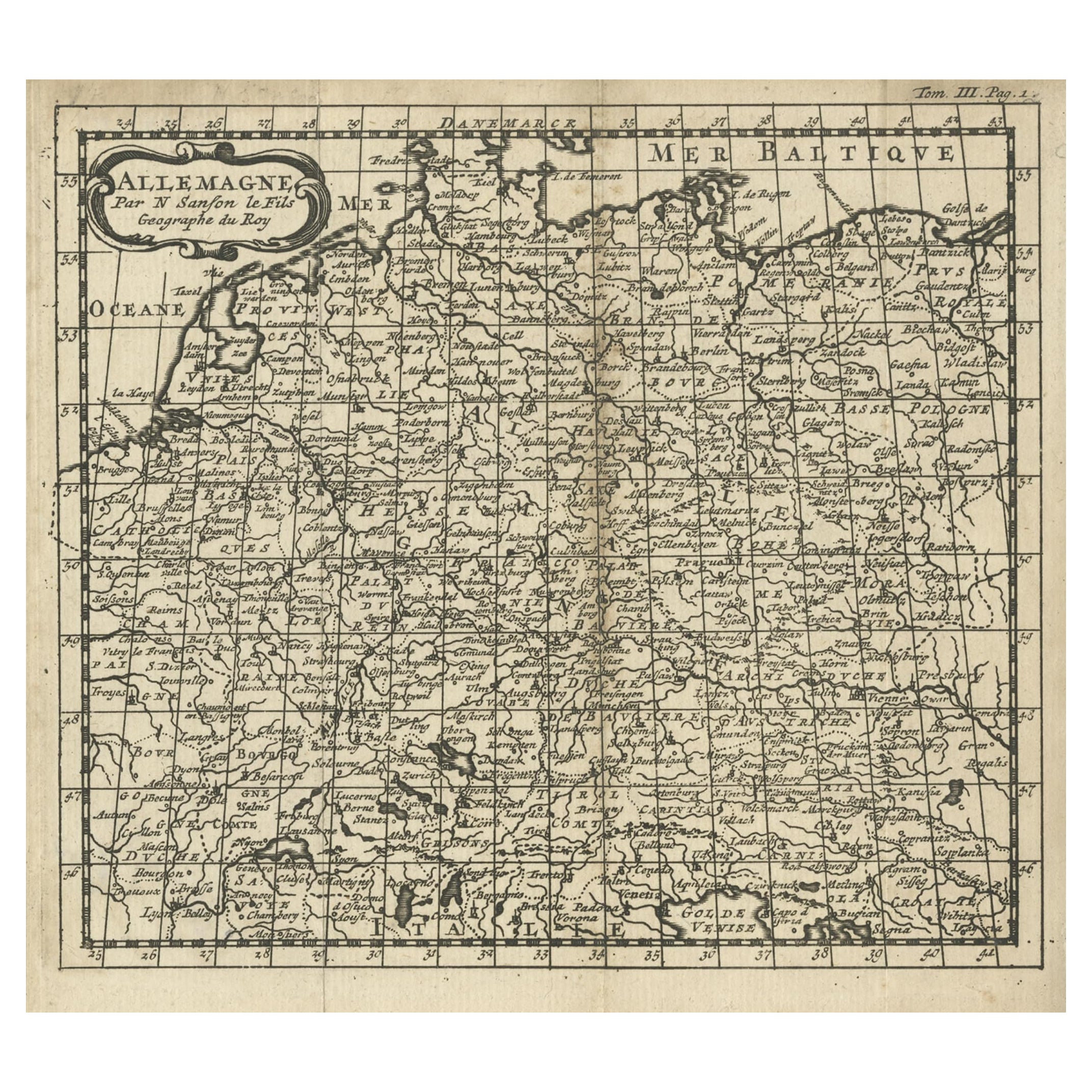
French Antique Miniature Map of Germany and Surrounding Countries, 1721
Located in Langweer, NL
Antique map Germany titled 'Allemagne Par N. Sanson le Fils Geographe du Roy'. Minitaure map of Germany and surroundings. Originates from 'Introduc...
Category
Antique 18th Century Maps
Materials
Paper
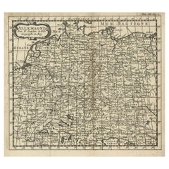
$83 Sale Price
20% Off
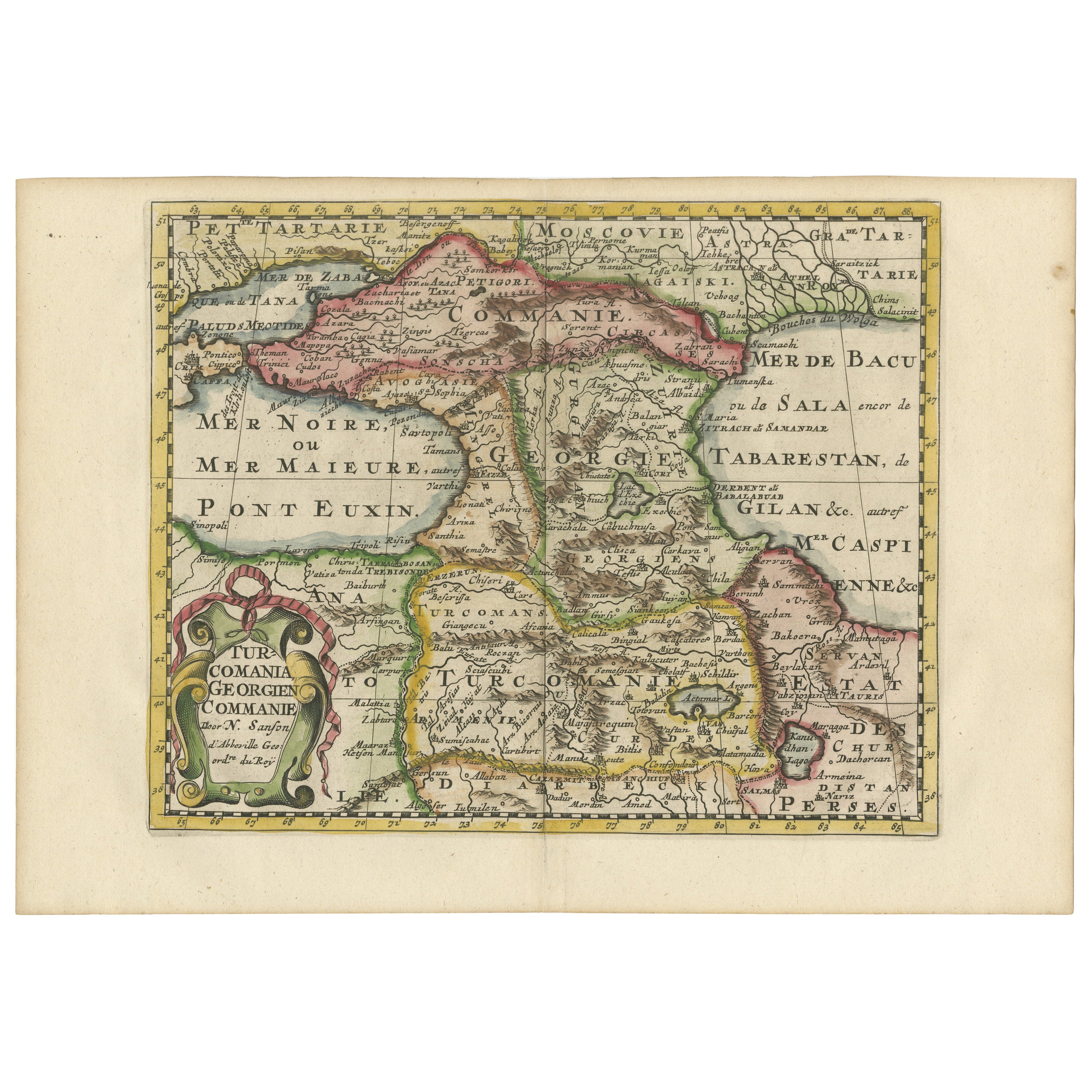
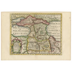
Historical Map of the Black Sea and Surrounding Regions, 1705
Located in Langweer, NL
Title: "Map of Turcomania, Georgia, and Comania"
This print presents an intricately detailed map of the Caucasus region, titled “Turcomania, Georgien Commanie,” by the esteemed cart...
Category
Antique Early 1700s Maps
Materials
Paper
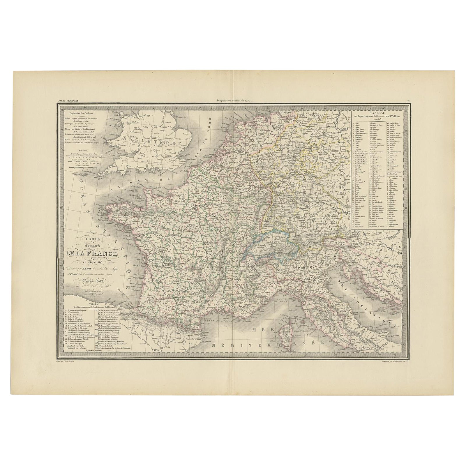
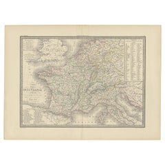
Antique Map of France with Surrounding Countries, 1842
Located in Langweer, NL
Antique map titled 'Carte comparée de la France en 1789 et 1813'. Map of France. This map originates from 'Atlas universel de géographie ancienne et moderne (..)' by Pierre M. Lapie ...
Category
Antique 19th Century Maps
Materials
Paper
$277 Sale Price
20% Off
Recently Viewed
View AllMore Ways To Browse
Used Furniture Brookline
Italian Leather Folding Chairs
Kashmir Woven Rugs
Kohn Vienna Secession
Lamb Antique Furniture
Laminate Kitchen Table
Large Drop Leaf Table
Large Ice Bucket
Large Jewellery Chest
Limestone And Wood Table
Luxury Safari Lodge
Mahogany Side Table With Black Top
Marble Coffee Table Danish
Marble Mosaic Tile
Marble Plinth Side Table
Mario Bellini Blue
Masculine Rug
Matching Curved Sofas