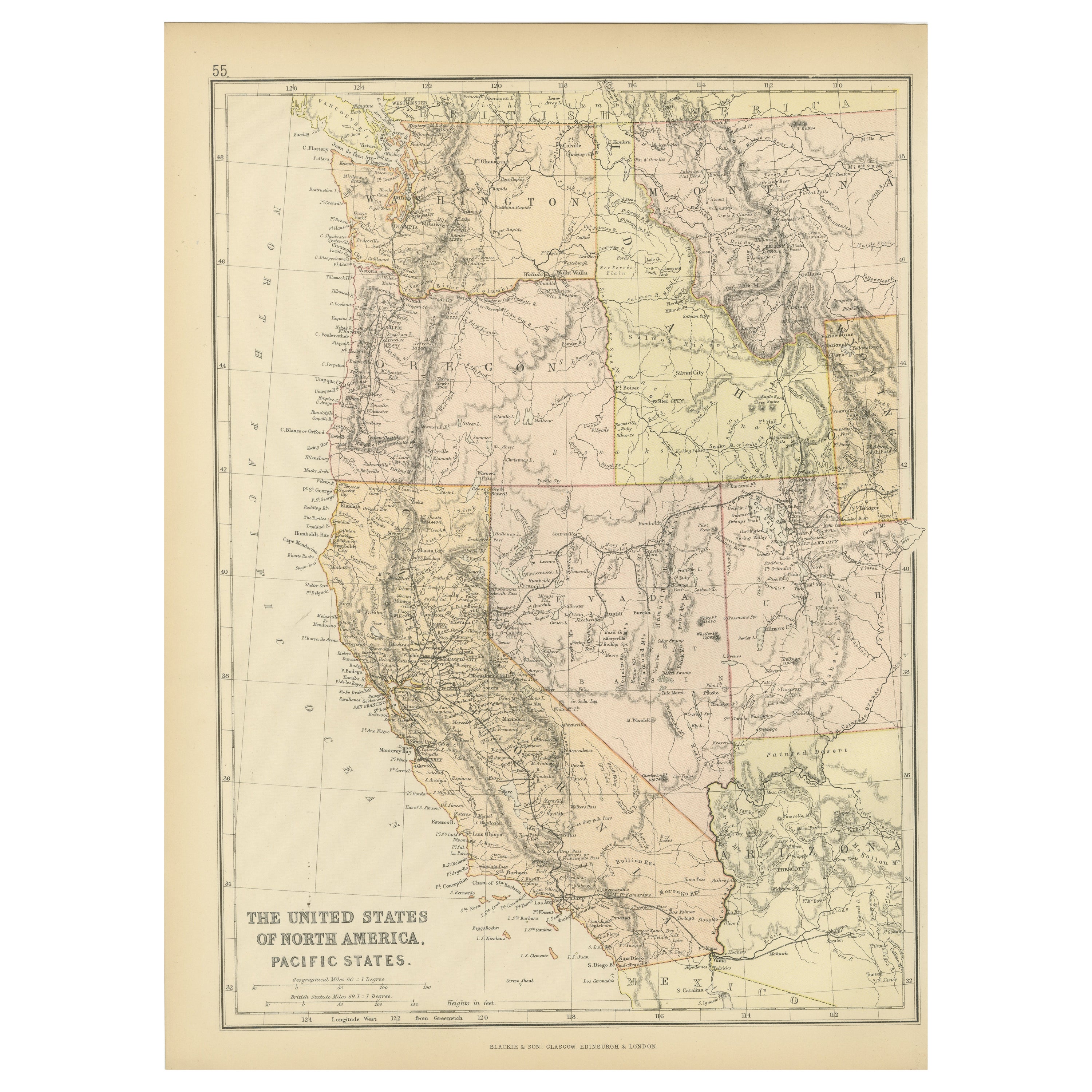
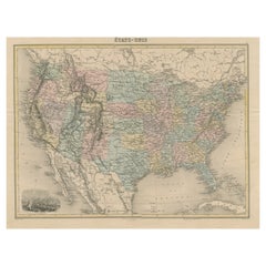
Map of United States, Early 1900s, with Chalkboard Canvas on Retractable Roller
View Similar Items


1 of 6
Map of United States, Early 1900s, with Chalkboard Canvas on Retractable Roller
$1,390List Price
About the Item
- Dimensions:Height: 42 in (106.68 cm)Width: 55 in (139.7 cm)Depth: 2.5 in (6.35 cm)
- Style:Schoolhouse (In the Style Of)
- Materials and Techniques:
- Place of Origin:
- Period:
- Date of Manufacture:1900
- Condition:Wear consistent with age and use. In very good vintage condition for its 120 years. You just don't find these chalk maps any more. And when you do, they are a prize possession for their rarity and dramatic presentation.
- Seller Location:Madison, WI
- Reference Number:1stDibs: LU923512040363
Authenticity Guarantee
In the unlikely event there’s an issue with an item’s authenticity, contact us within 1 year for a full refund. DetailsMoney-Back Guarantee
If your item is not as described, is damaged in transit, or does not arrive, contact us within 7 days for a full refund. Details24-Hour Cancellation
You have a 24-hour grace period in which to reconsider your purchase, with no questions asked.Vetted Professional Sellers
Our world-class sellers must adhere to strict standards for service and quality, maintaining the integrity of our listings.Price-Match Guarantee
If you find that a seller listed the same item for a lower price elsewhere, we’ll match it.Trusted Global Delivery
Our best-in-class carrier network provides specialized shipping options worldwide, including custom delivery.You May Also Like
Vintage Framed United States Map
Located in Queens, NY
Vintage aged paper map of the United States mounted on particle board and framed in a simple wooden frame.
Category
20th Century American Mid-Century Modern Maps
Materials
Wood, Paper

Antique Map Colton's United States of America
Located in Langweer, NL
Antique map titled 'Colton's United States of America'. Show railroads, canals, state capitals, major cities and towns, military posts, historic trails, Pony Express and U.S. mail routes; Dakota [Territory] extending deep into Nebraska, and Idaho [Territory] encompassing [modern day] Montana and Wyoming; Indian Territory...
Category
Antique Mid-19th Century Maps
Materials
Paper
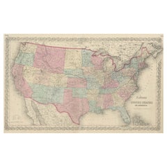
$850 Sale Price
20% Off
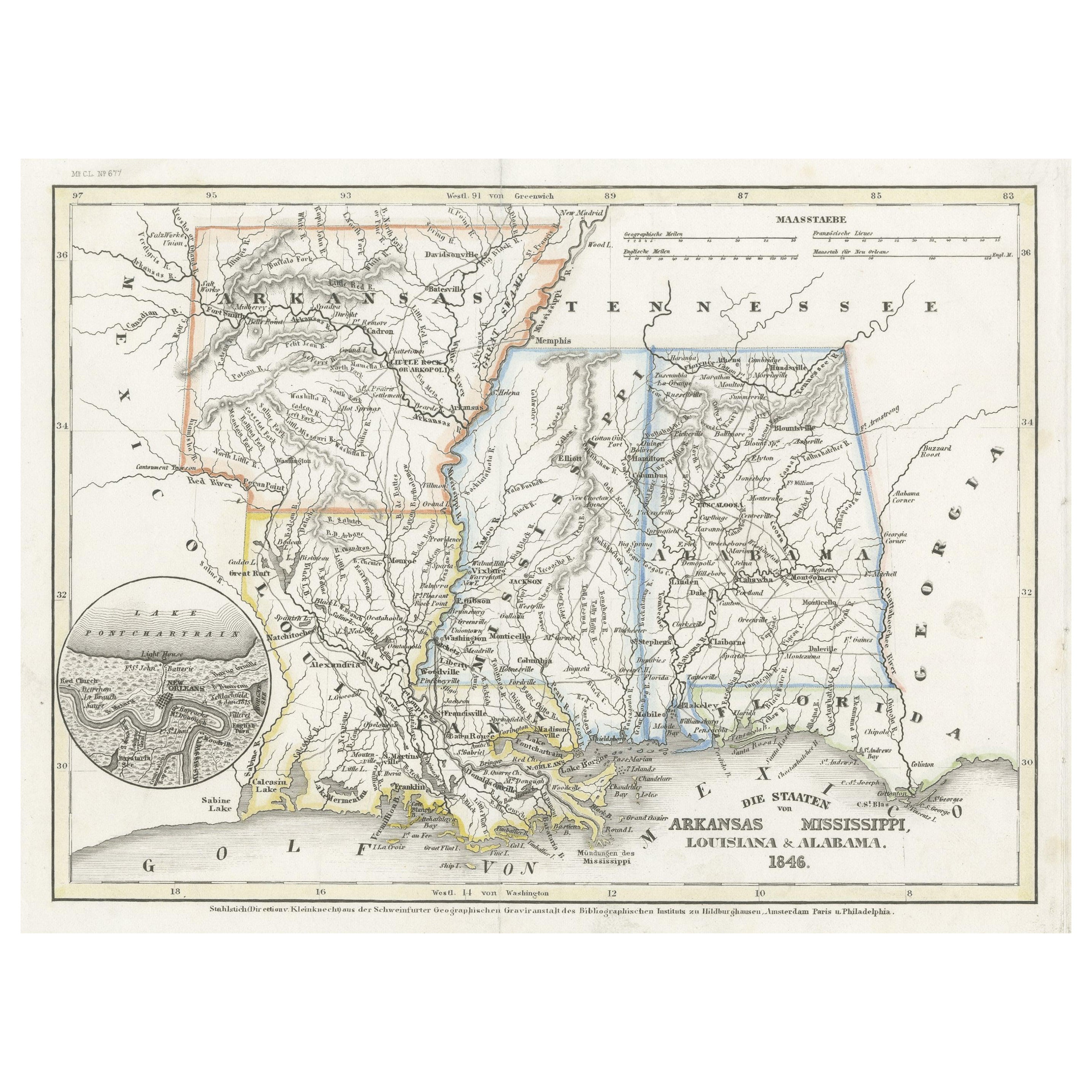
1874 Map of the United States with Territorial Boundaries
Located in Langweer, NL
Title: 1874 Map of the United States with Territorial Boundaries
Description: This is an 1874 map titled "Map of the United States," showcasing the country during a period of rapid ...
Category
Antique 1870s Maps
Materials
Paper
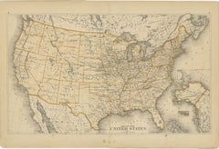
$248 Sale Price
20% Off
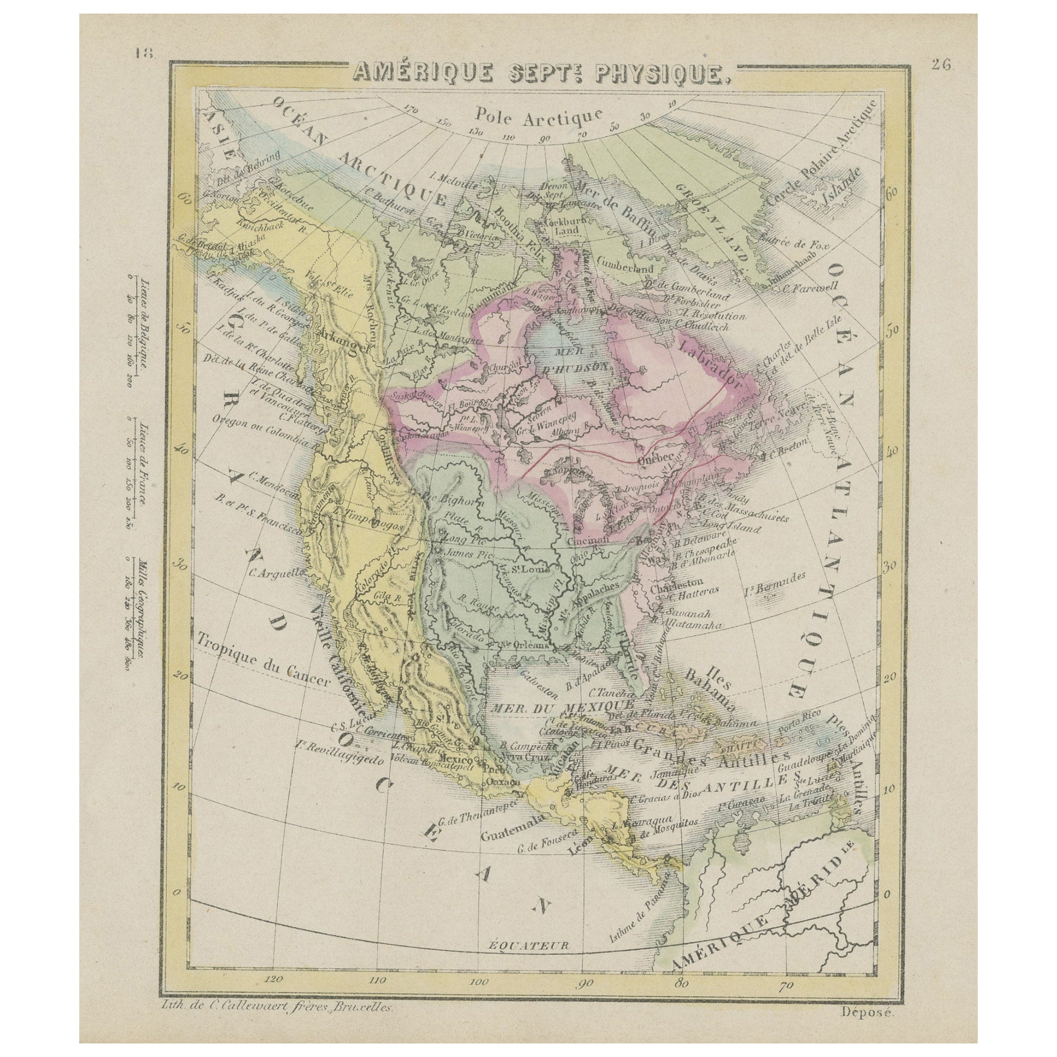
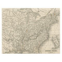
Antique Map of the Eastern United States with Inset Map of Texas
Located in Langweer, NL
Antique map titled 'Verein-Staaten von Nord-America mit Ausnahme Florida's und der Westlichen Territorien'. This map extends as far west as Louisiana and only includes the northern p...
Category
Antique Mid-19th Century Maps
Materials
Paper

$516 Sale Price
20% Off
Steel Engraved Map of the United States with Inset Map of Florida
Located in Langweer, NL
Antique map titled 'United States'. Steel engraved map of the United States. With small inset map of the continuation of Florida. Source unknown, to be determined. Published circa 1843.
Category
Antique Mid-19th Century Maps
Materials
Paper
$152 Sale Price
20% Off
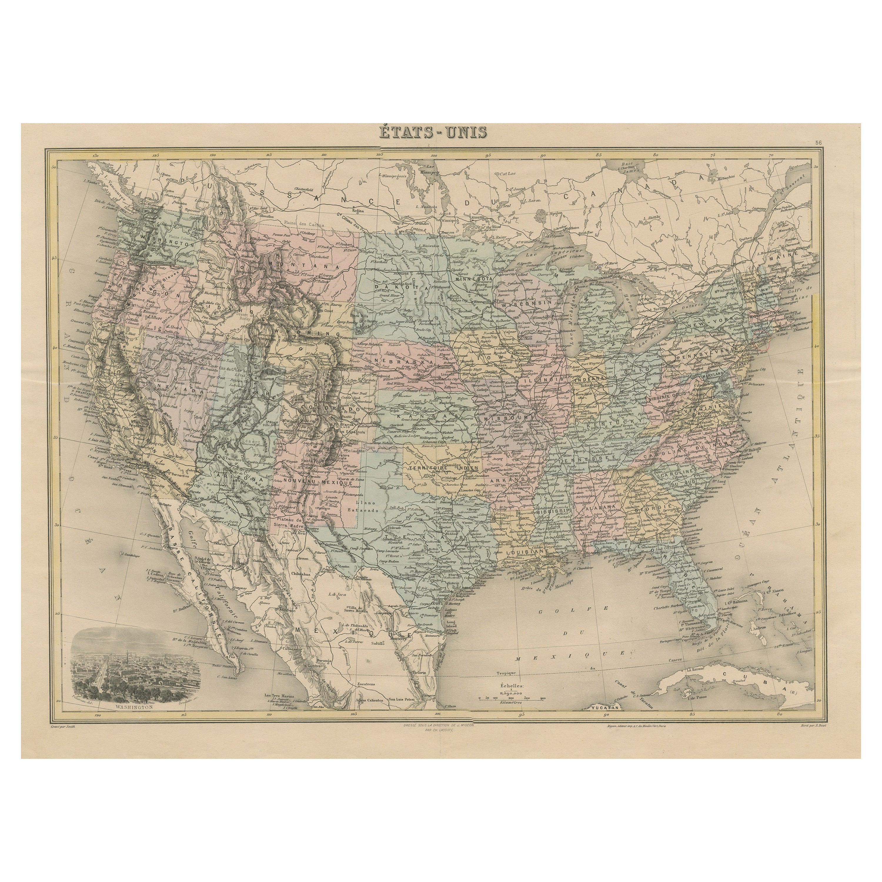
Antique Map of the United States with Vignette of Washington
Located in Langweer, NL
Antique map titled 'États-Unis'. A very attractive and detailed late 19th century map of the United States, with a fine decorative vignette of Washington. The extensive railway netwo...
Category
Antique Late 19th Century Maps
Materials
Paper
$458 Sale Price
20% Off
Recently Viewed
View AllMore Ways To Browse
Antique Wooden Roller
Antique Map Of England
Antique Maps Framed
United States Map
Europe Map Antique
Indonesia Map
Antique Maps Of Germany
Map Of Japan
Military Map
Antique World Maps
Antique Maps Of Holland
Compass Rose Antique
Antique Furniture Portugal
Antique Maps Of Europe
Map Greece
Maps Of Mediterranean
Mississippi Antique
Large Framed Maps