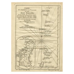
Old Map of the Mariana Island, Guam and Saipan, 1752
View Similar Items


Want more images or videos?
Request additional images or videos from the seller
1 of 5
Old Map of the Mariana Island, Guam and Saipan, 1752
About the Item
- Dimensions:Height: 9.81 in (24.9 cm)Width: 7.41 in (18.8 cm)Depth: 0 in (0.02 mm)
- Materials and Techniques:
- Period:1750-1759
- Date of Manufacture:1752
- Condition:Condition: Good, given age. Age related toning. Please study scan carefully.
- Seller Location:Langweer, NL
- Reference Number:Seller: BL-00040 1stDibs: LU3054326704112
About the Seller
5.0
Platinum Seller
These expertly vetted sellers are 1stDibs' most experienced sellers and are rated highest by our customers.
Established in 2009
1stDibs seller since 2017
1,932 sales on 1stDibs
More From This SellerView All
- Antique Map of the Philippines and Guam by Scherer, circa 1702Located in Langweer, NLAntique map titled 'Nova et Vera Exhibitio Geographica Insularum Marianarum (..)'. Rare and very attractive map of the Mariana Islands, Philippines, Ko...Category
Antique Early 18th Century Maps
MaterialsPaper
 $1,848 Sale Price24% Off
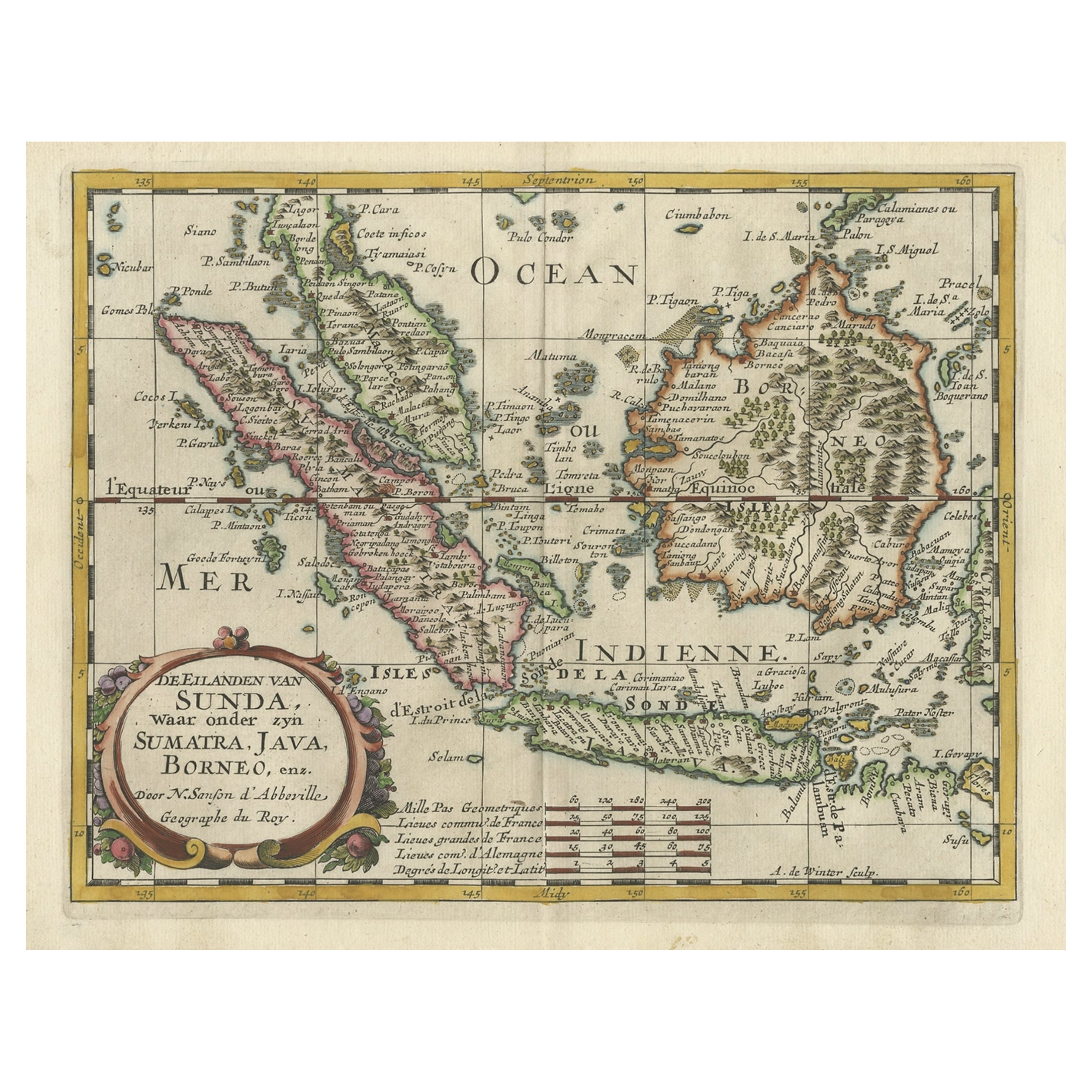
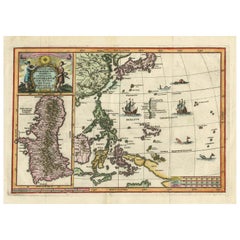
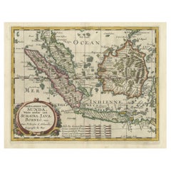
 - Old Map of the Bangka Belitun Islands, Greater Sunda Islands, Indonesia, 1705Located in Langweer, NLAntique map Sunda Islands titled 'De Eilanden van Sunda, waar onder zyn Sumatra, Java, Borneo enz'. Old map of the Bangka Belitun Islands, part of the Greater Sunda Islands, incl...Category
Antique Early 1700s Maps
MaterialsPaper
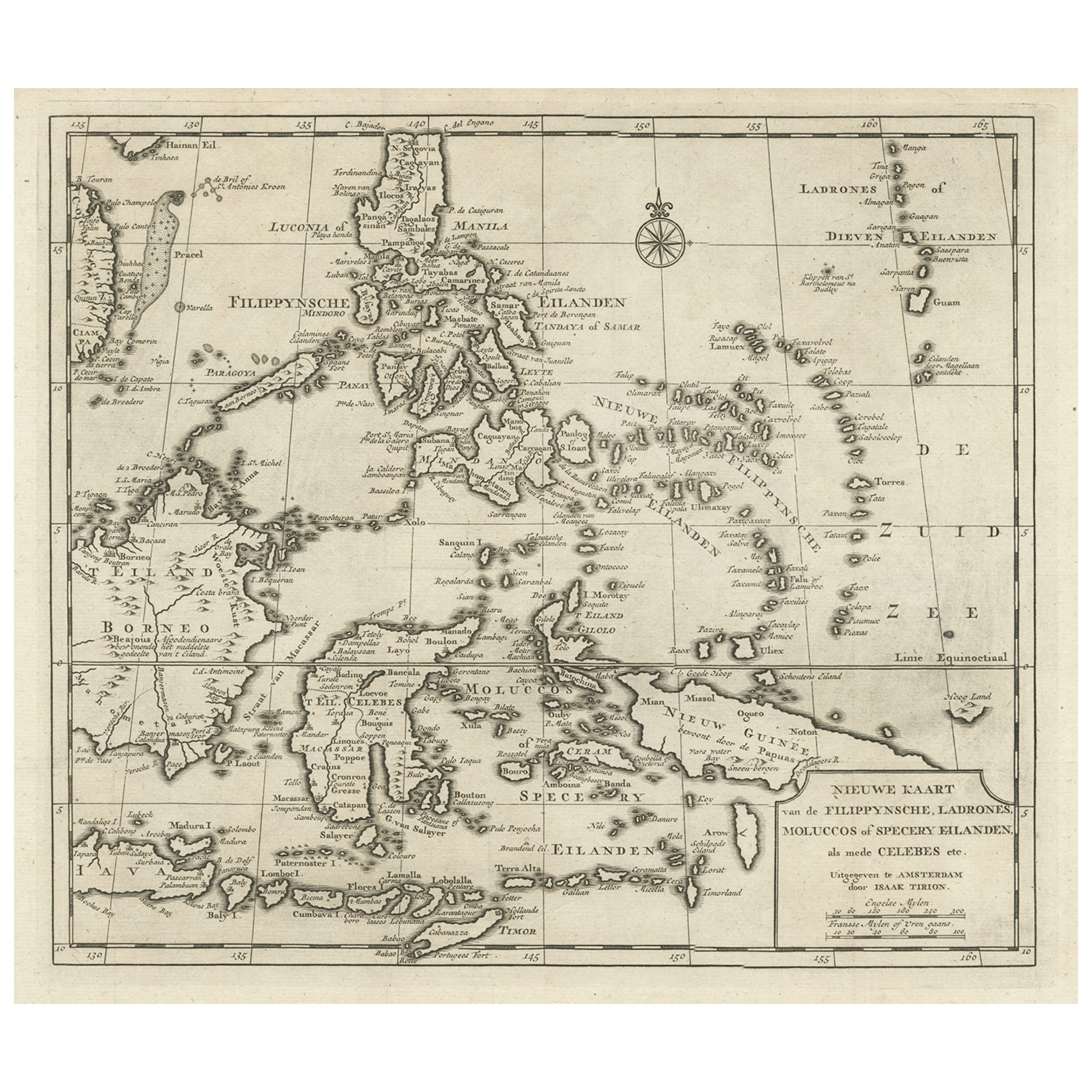
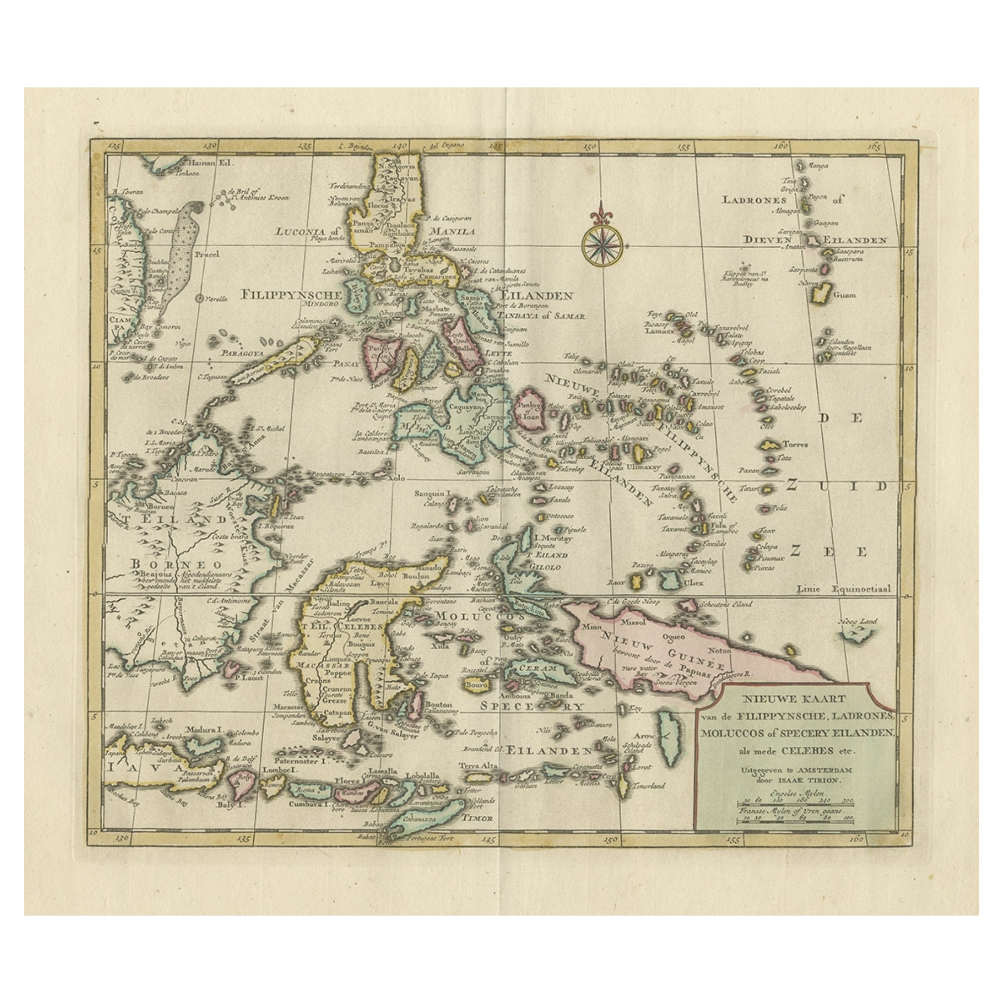
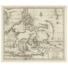
- Old Map of the Philippines and Part of Indonesia 'Spice Islands', 1744Located in Langweer, NLAntique map titled 'Nieuwe Kaart van de Filippynsche, Ladrones, Moluccos of Specery Eilanden, als mede Celebes etc'. Old map of the Philippines and part of Indonesia. Originates ...Category
Antique 1740s Maps
MaterialsPaper
 $578 Sale Price20% Off
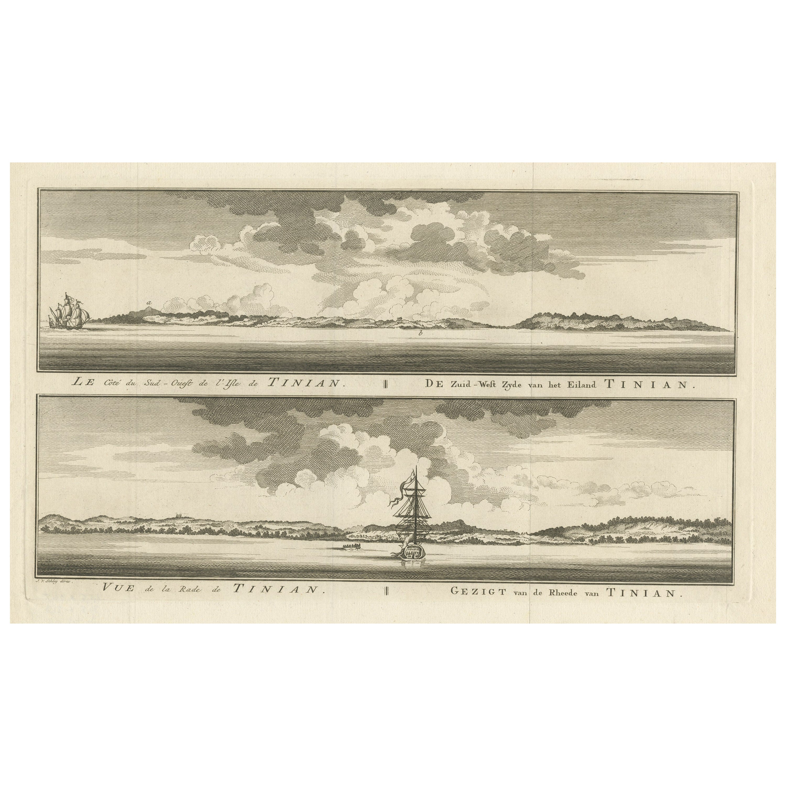
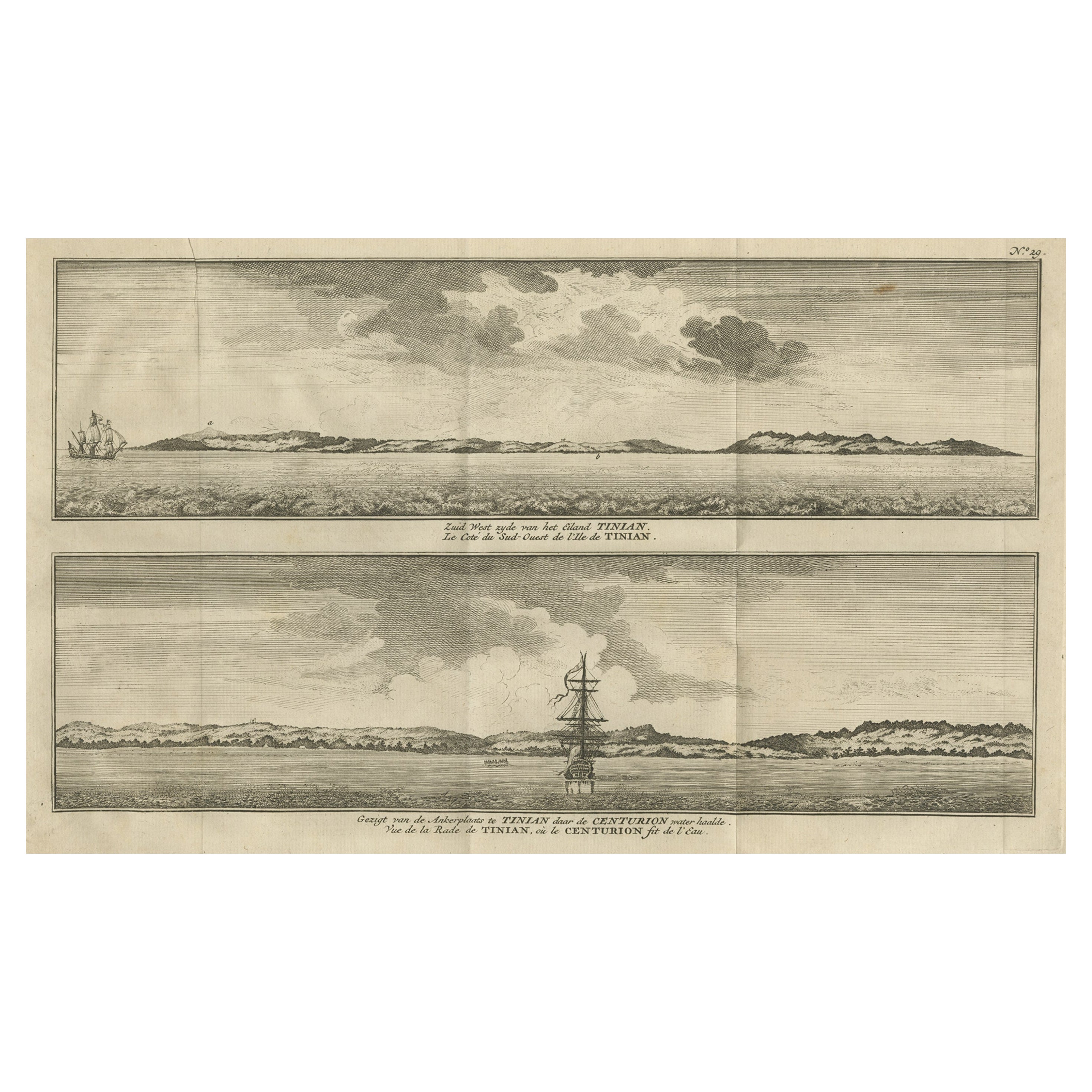
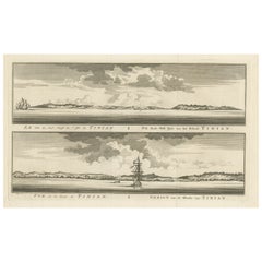
 - Antique Engraving of Tinian, an Island of the Northern Mariana Islands, 1757Located in Langweer, NLAntique print titled 'Vue de la Rde de Tinian Gezigt van de Rheede van Tinian (..)'. Views of the south-west side of the island of Tinian and a view of the anchorage of Tinian, w...Category
Antique 1750s Prints
MaterialsPaper
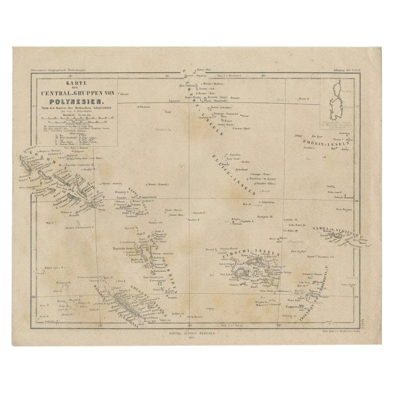
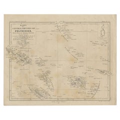
- Old German Map Depicting the Central Islands of Polynesia, 1857Located in Langweer, NLAntique map Polynesia titled 'Karte der Central-Gruppen von Polynesien'. Old map depicting the central islands of Polynesia. This map originates from 'Petermanns Geographische Mittei...Category
Antique 19th Century Maps
MaterialsPaper
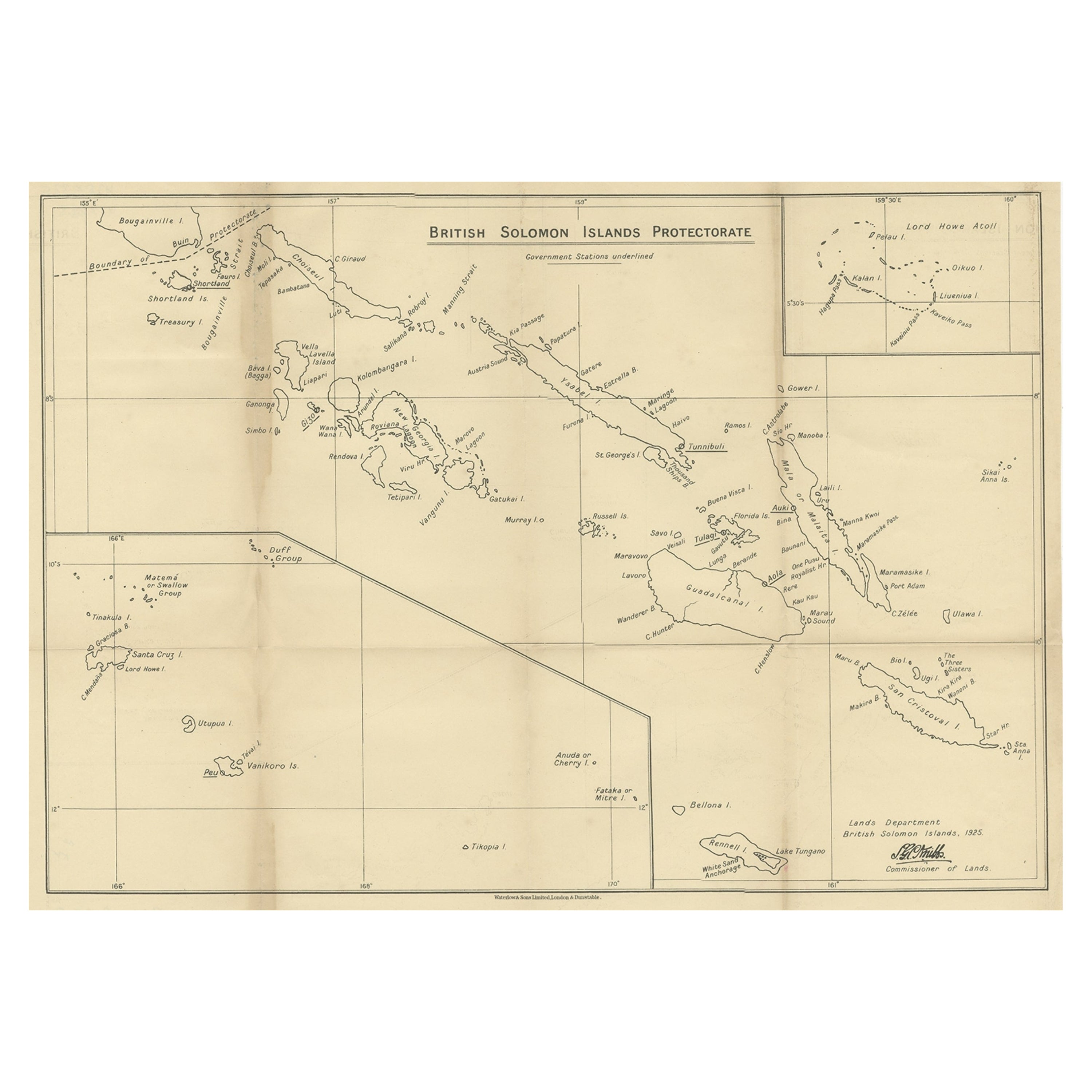
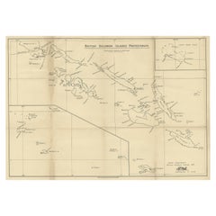
- Rare Old Map of the British Solomon Islands Protectorate, 1925Located in Langweer, NLAntique map titled 'British Solomon Islands Protectorate'. Old map of the British Solomon Islands Protectorate. Artists and Engravers: Published by Waterlow & Sons, London & D...Category
Vintage 1920s Maps
MaterialsPaper
You May Also Like
- 1752 Vaugoundy Map of Flanders : Belgium, France, and the Netherlands, Ric.a002Located in Norton, MALarge Vaugoundy Map of Flanders: Belgium, France, and the Netherlands Colored -1752 Ric.a002 Description: This is a 1752 Didier Robert de Vaugondy map of Flanders. The map de...Category
Antique 17th Century Unknown Maps
MaterialsPaper
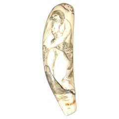
- Scrimshaw of engraved orca tooth native to the Mariana Islands semi-nude 1850sLocated in Milan, ITScrimshaw of an engraved orca tooth depicting native of the Mariana Islands semi-nude, above the head the initials R.F. On the back bow vessel, tropical beach with palm trees and rocks and the inscription: on the MARIANA Is. The Lovely native girls...Category
Antique Mid-19th Century Nautical Objects
MaterialsTeeth
- 1854 Map of Massachusetts, Connecticut and Rhode Island, Antique Wall MapLocated in Colorado Springs, COThis striking wall map was published in 1854 by Ensign, Bridgman & Fanning and has both full original hand-coloring and original hardware. This impression is both informative and highly decorative. The states are divided into counties, outlined in red, green, and black, and subdivided into towns. Roads, canals, and railroad lines are prominently depicted, although they are not all labeled. The mapmakers also marked lighthouses, banks, churches, and prominent buildings, with a key at right. The map is an informative and comprehensive overview of the infrastructural development of New England prior to the Civil War. Physical geographies depicted include elevation, conveyed with hachure marks, rivers and lakes. The impression features an inset map of Boston...Category
Antique 19th Century American Maps
MaterialsPaper
- Large Original Vintage Map of The Pacific Islands Including HawaiiLocated in St Annes, LancashireGreat map of The Pacific Islands Unframed Original color By John Bartholomew and Co. Edinburgh Geographical Institute Published, circa 1...Category
Vintage 1920s British Maps
MaterialsPaper
- Old Nautical Map of CorsicaLocated in Alessandria, PiemonteST/556/1 - Old map of Corsica isle, surveyed by Captain Hell, of the French Royal Navy in 1824, engraved and published on 1874, with additions and corre...Category
Antique Early 19th Century English Other Prints
MaterialsPaper
 $350 Sale Price20% Off
 - Old Horizontal Map of EnglandBy TassoLocated in Alessandria, PiemonteST/520 - Old rare Italian map of England, dated 1826-1827 - by Girolamo Tasso, editor in Venise, for the atlas of M.r Le-Sage.Category
Antique Early 19th Century Italian Other Prints
MaterialsPaper
 $236 Sale Price20% Off


Recently Viewed
View AllMore Ways To Browse
Map Cabinet Antique
Antique Map Cabinet
Antique Style Map Of The World
World Maps Antique Style
World Map Antique Style
Antique Nautical Maps
Antique Nautical Map
Antique Nautical Charts
17th Century Corpus
Map Nautical Chart
Pacific Ocean Antique Map
Chart Cabinet
French 19th Century Transitional St
Jean Prevost
Lopez Island
Mariana Islands
Antique Furniture East London
Antique Eastern European Furniture